14 miles away
Canyon Diablo Bridge
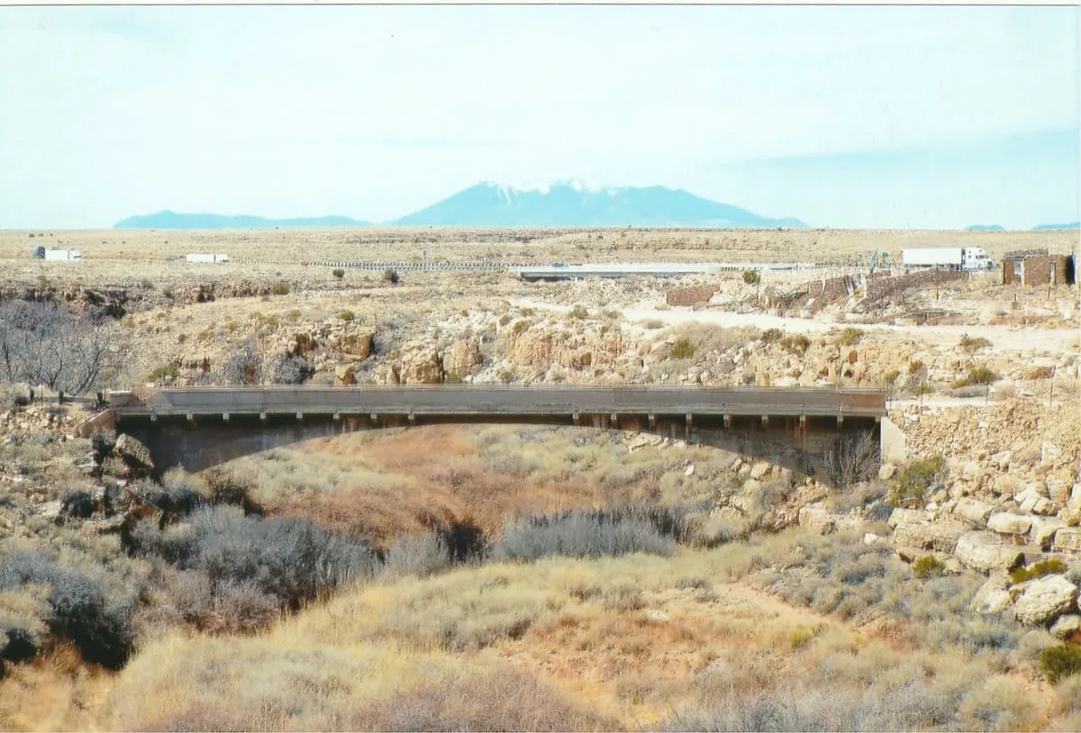
An abandoned bridge that carried Route 66 over Canyon Diablo, 30 miles east of Flagstaff near the ghost town of Two Guns.
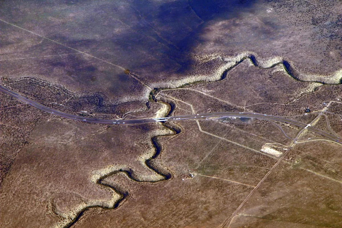
An 81-mile incised meander east of Flagstaff, spanned by an 1882 railway bridge, an old Route 66 crossing and Interstate 40.
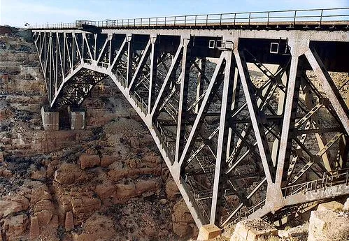
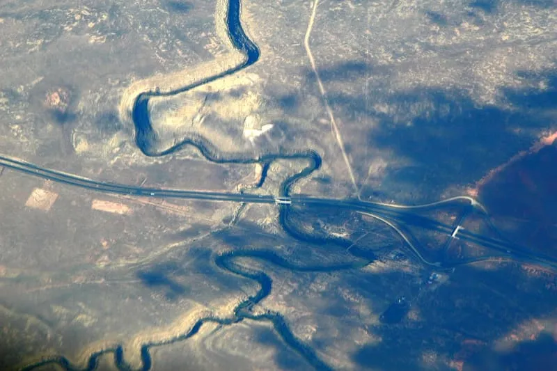
Canyon Diablo, formerly written Cañon Diablo, is a canyon in northern Arizona, about 30 miles east of Flagstaff, cut into the Colorado Plateau as an incised meander. It runs 81 miles and lies within both Coconino County and the Navajo Nation. Parts of it carry an ephemeral stream and act as a tributary of the Little Colorado River. Archaeologists have found evidence of settlement by the Desert Archaic peoples and by the Sinagua in the twelfth century, and several Old West towns, among them Canyon Diablo and Two Guns, were established on the rim in the nineteenth century and later abandoned. Three bridges now span the gorge: a railway bridge built in 1882 for the Atchison, Topeka and Santa Fe Railway, carrying the southern route of the first transcontinental railroad through Arizona and rebuilt in 1947; a former road bridge that once carried Route 66; and the bridge that now carries Interstate 40.
Canyon Diablo is a canyon near Winslow, in Coconino County. It is one of the canyons in this database, and appears in the statewide ranking of Arizona attractions.
No official visitor count is published for Canyon Diablo, so its score rests on public interest and tourism significance, and is capped below the level a measured attraction can reach. That is why the medium confidence above is not higher. The weighting is explained in full on the methodology page, and every axis is broken out under Facts and sources at the foot of this page.
Note on the data: No official visitor count is published for this attraction.
Record last verified 2026-08-12.
14 miles away
15 miles away
18 miles away
19 miles away
19 miles away
24 miles away