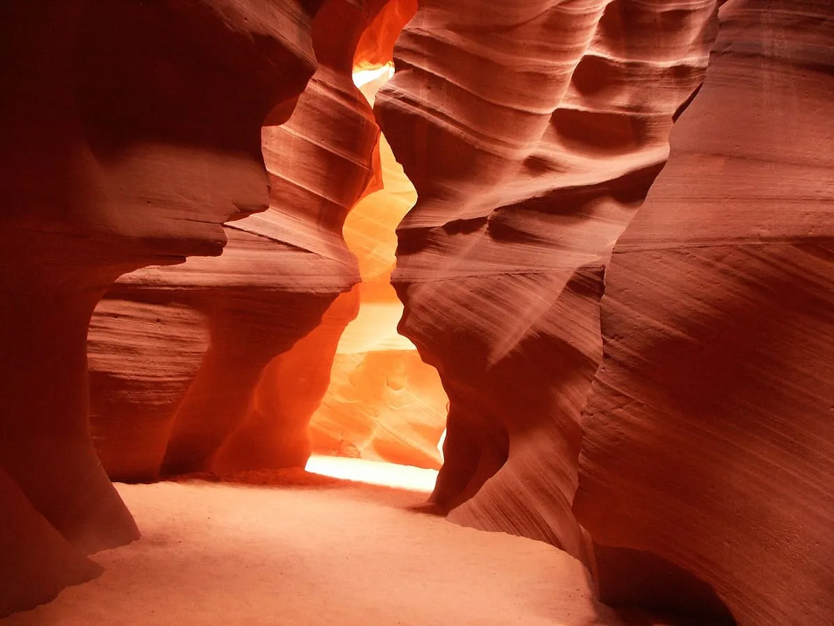
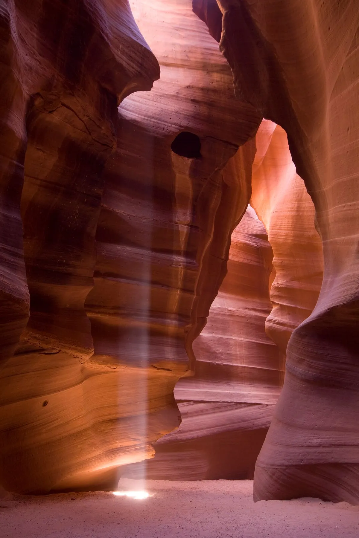
A pair of slot canyons on Navajo Nation land, carved by flash flooding into corridors of banded sandstone. Access is only with an authorised Navajo guide.
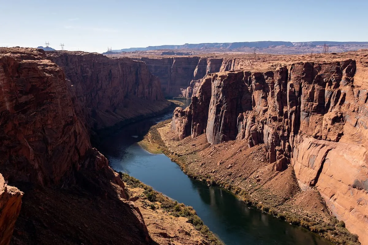
Glen Canyon is a natural canyon carved by a 169.6-mile (272.9 km) length of the Colorado River, mostly in southeastern and south-central Utah, in the United States. Glen Canyon starts where Narrow Canyon ends, at the confluence of the Colorado River and the Dirty Devil River. A small part of the lower end of Glen Canyon extends into northern Arizona and terminates at Lee's Ferry, near the Vermilion Cliffs.
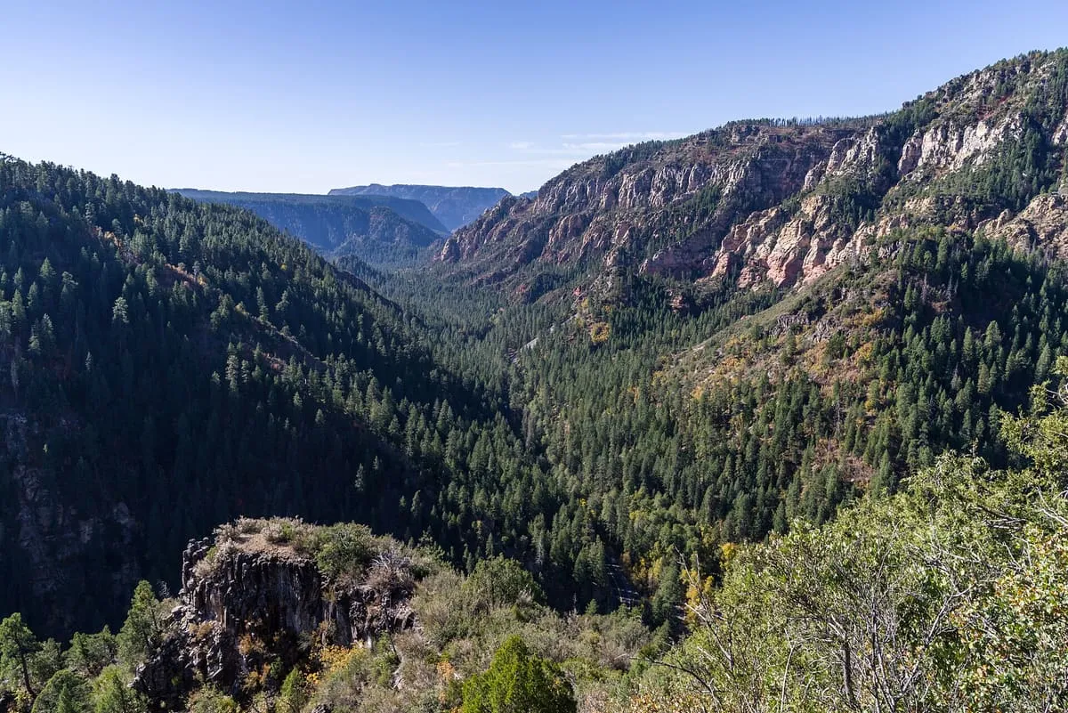
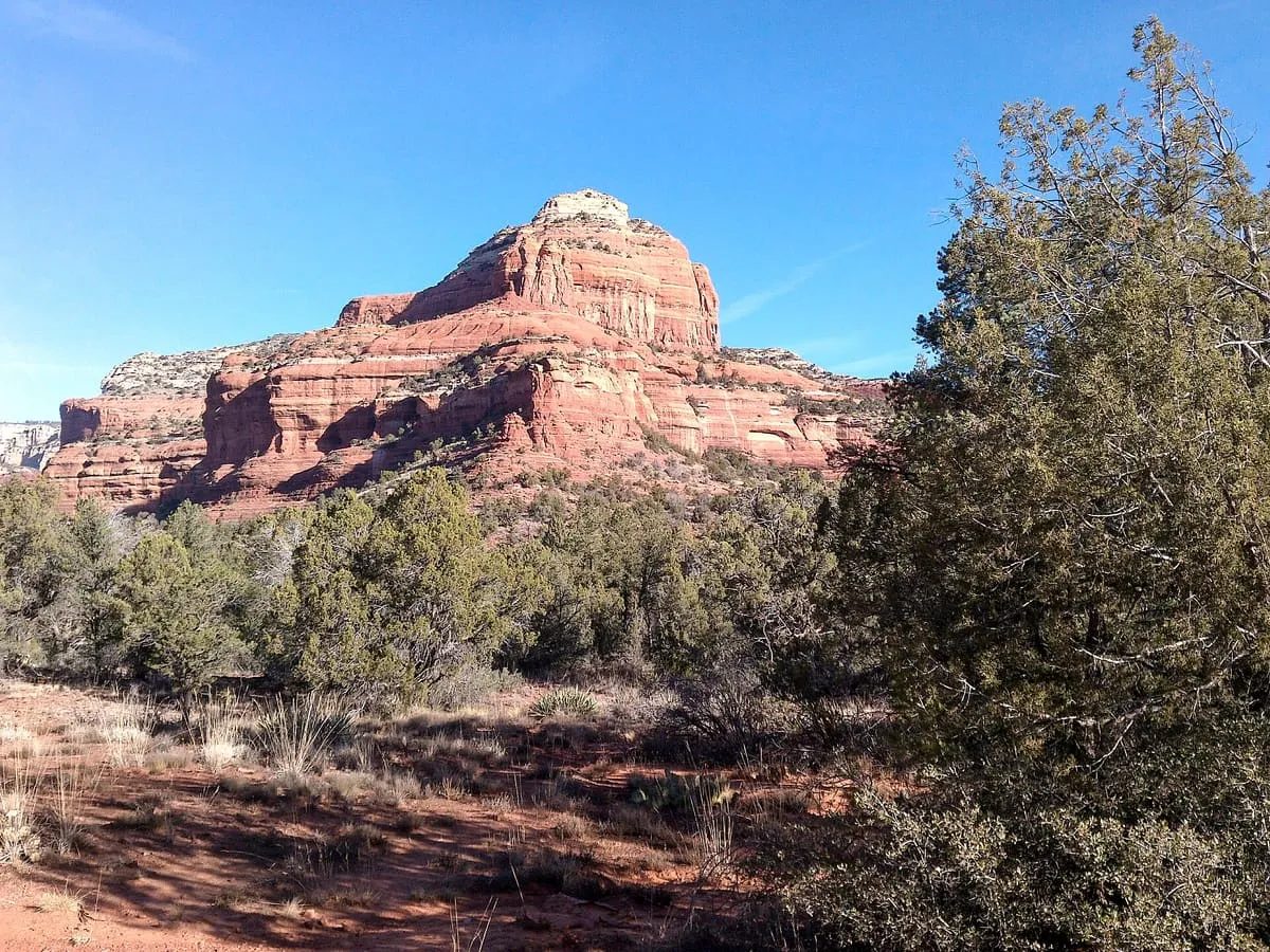
Oak Creek Canyon is a river gorge located in northern Arizona between the cities of Flagstaff and Sedona. The canyon is often described as a smaller cousin of the Grand Canyon because of its scenic beauty. State Route 89A enters the canyon on its north end via a series of hairpin turns before traversing the bottom of the canyon for about 13 miles (21 km) until the highway enters the town of Sedona.
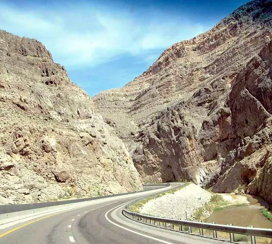
Worth a short drive into Utah. Beware of dangerous curves and, at times, low visibility, but when conditions are clear, the drive is amazing. Take Interstate 15 north through a small sliver of Arizona, then into Utah for more of nature's wonder.
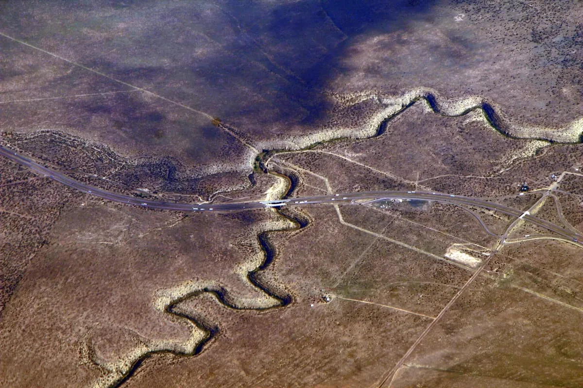
Canyon Diablo, previously named "Cañon Diablo", is a canyon that winds through the Colorado Plateau approximately 30 miles (48 km) east of Flagstaff in northern Arizona. It is an example of an incised meander, a river bend carved into the plateau by erosion, creating a gorge. Portions of the canyon experience an ephemeral stream and act as a tributary to the Little Colorado River.
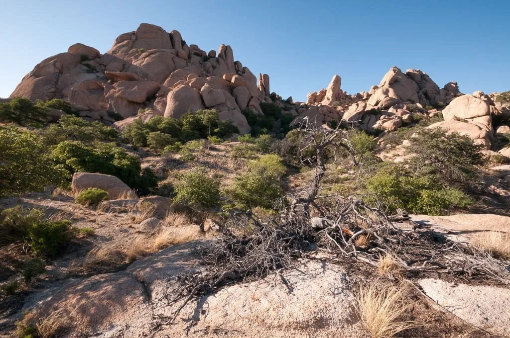
Named after pioneer settlers from Texas whose family still operates a nearby ranch, the pass is between the Dragoon Mountains in the south and the Little Dragoon Mountains in the north. The entire area is marked by huge granite boulders which can be easily appreciated from the I-10 rest stop. To explore further, take Exit 318 and turn south and head toward the Amerind Foundation (listed above).
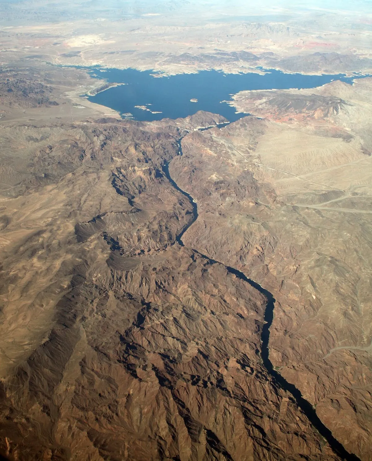
The Black Canyon of the Colorado is the canyon on the Colorado River where Hoover Dam was built. The canyon is located on the Colorado River at the state line between Nevada and Arizona. The western wall of the gorge is in the El Dorado Mountains, and the eastern wall is in the Black Mountains of Arizona.
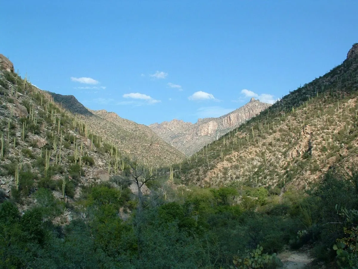
A spectacular desert canyon cut into the south side of the Santa Catalina Mountains, this area is justifiably popular with both locals and visitors and is the starting point for a number of hiking trails.
Madera Canyon is a canyon in the northwestern face of the Santa Rita Mountains, twenty-five miles southeast of Tucson, Arizona. As part of the Coronado National Forest, Madera Canyon has campsites, picnic areas, and miles of hiking trails. The canyon is also used as a resting place for migrating birds, and it is thus known as a premier birdwatching area.
Sycamore Canyon is the second largest canyon in the Arizona redrock country, after Oak Creek Canyon. The 21-mile (34 km) long scenic canyon reaches a maximum width of about 7 miles (11 km). It is in North Central Arizona bordering and below the Mogollon Rim, and is located west and northwest of Sedona in Yavapai and Coconino counties.
One of the most scenic of the box canyons in the area, and correspondingly popular. The parking lot is a short distance from the trail head; no parking at the luxury resort.
Named after an early prospector, this canyon has reliable springs and is a good location for avid birders. It makes for a very challenging hike, and a 4WD is necessary to get to the trailhead. A good trail description can be found here. Allow at least 5 hours.
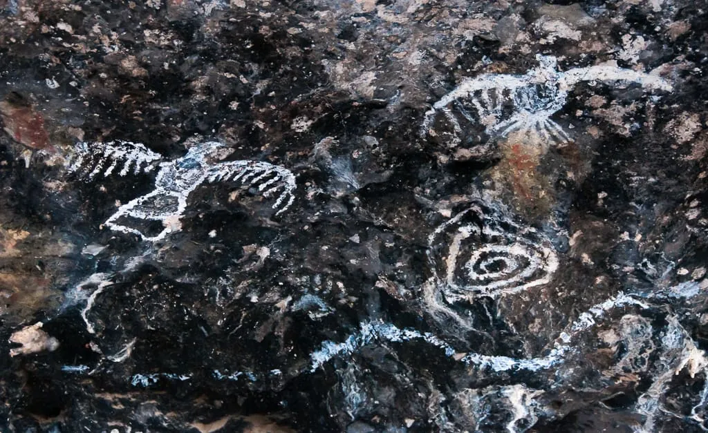
A lovely place for hiking, picnicking, and birdwatching. Follow the road up the canyon to see Apache (ca. 1700 CE) and Hohokam (ca. 400-1250 CE) pictographs in two different sites. The pictographs are protected behind fences, so they're easy to find.
A slot canyon with a more open top, so pictures come out better than in the upper Antelope Canyon. Entrance is only through a guided tour (see Ken's Tours, below).
More than 170 species of birds have been found here, including 14 species of hummingbirds. There is also a small bookshop and a mile or so of easy hiking trails, one of which continues on to the Hamburg Trail on National Forest land. The best time to visit is between April and September. Parking is limited to 27 spaces, and it is not permitted to park along the roadside.
A deep river canyon, managed by the Tonto National Forest. There are no maintained trails, although the wilderness can be visited anytime. There are 27 sets of rapids and many side creeks, and white-water rafting and kayaking is popular during the spring. From March 1 - May 15 river-running permits are required; group size is limited to 15 people.
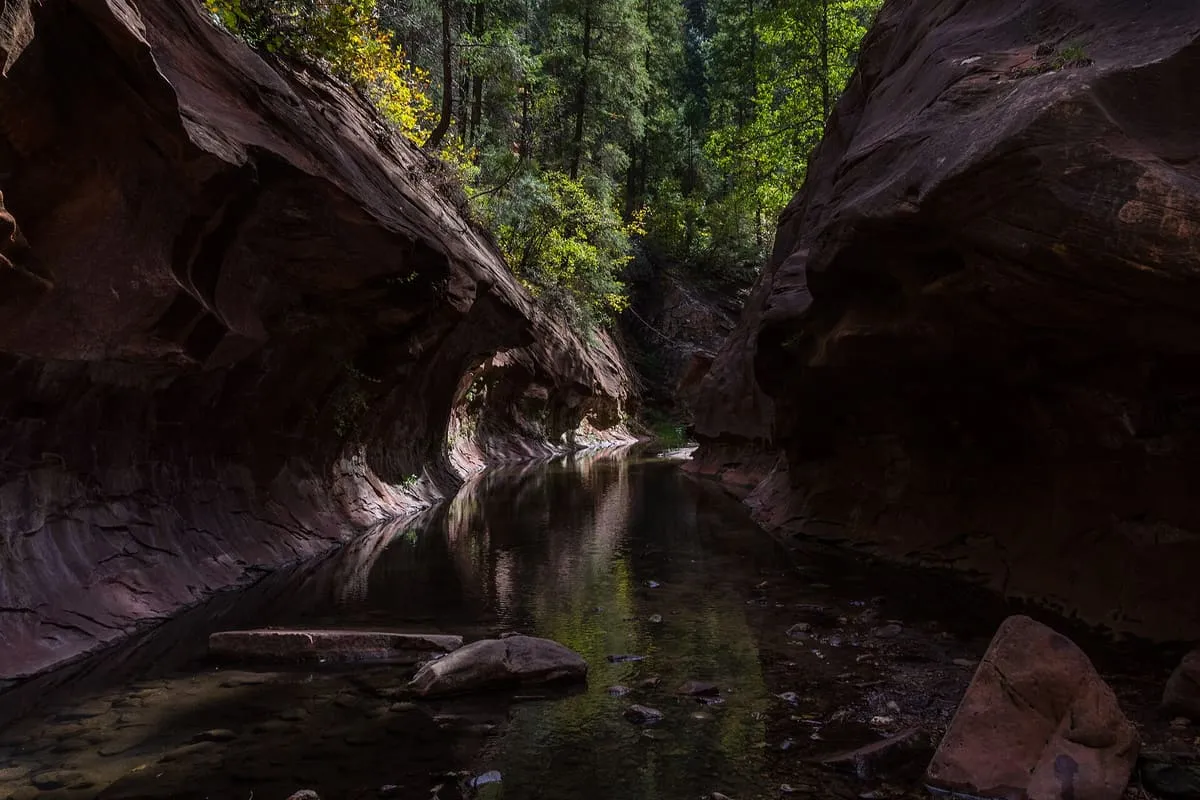
A side canyon of Oak Creek Canyon, walked rather than viewed: the trail follows a stream between cliffs the Forest Service calls dizzying, crossing the water repeatedly on stepping stones. It is maintained and easy for the first three miles, and runs another eleven into wilderness beyond that. The Forest Service calls it one of the most popular trails on the Coconino National Forest; dogs must be leashed, nothing mechanised is allowed, and a day-use fee applies at the Call of the Canyon car park.
How this category is scored
Every attraction in this category starts from a significance baseline of 60 out of 100, before any designations it holds are added. The full table is on the methodology page.
None of these publish an official visitor count, so they are ranked on public interest and tourism significance, and none can reach the top score band.