4.2 miles away
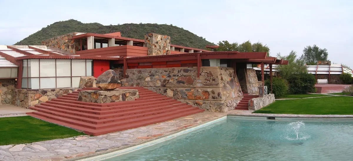
Taliesin West
Frank Lloyd Wright's winter home and studio in Scottsdale, built from 1938 and now a National Historic Landmark and World Heritage Site.
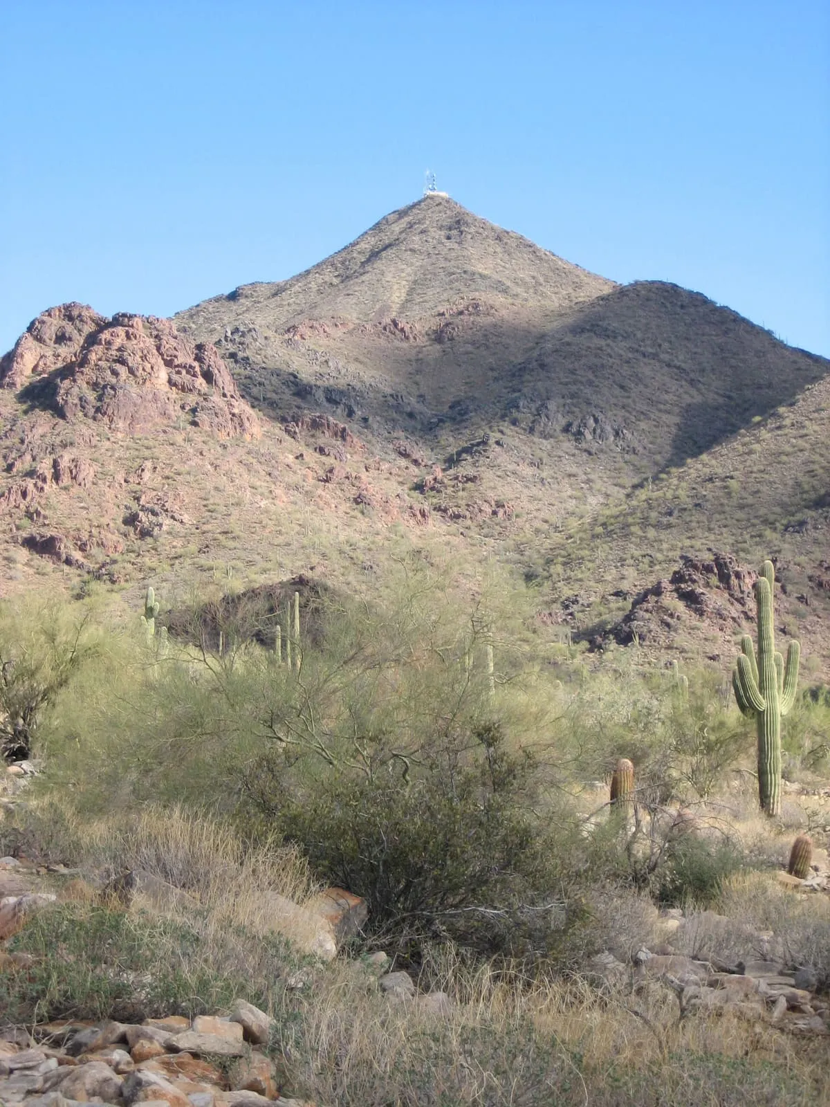
A range twenty miles north-east of downtown Phoenix, rising to East End at 4,069 feet and preserved by Scottsdale.
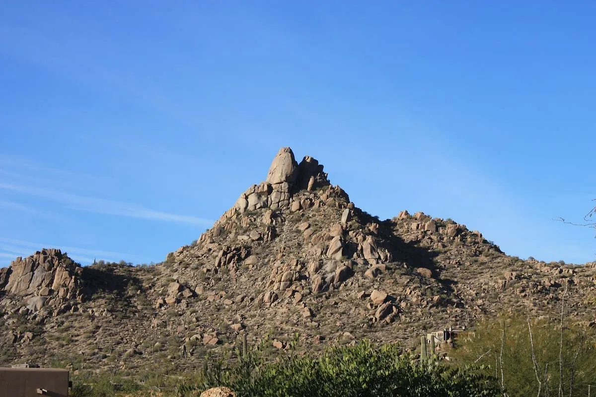
The McDowell Mountains are a mountain range about twenty miles north-east of downtown Phoenix, Arizona, visible from most parts of the city. Their Yavapai name is Wi:kajasa, and the range serves as a sacred marker to the Yavapai people. It is composed of Miocene deposits left nearly five million years ago. The range shares borders with the cities of Scottsdale and Fountain Hills and with Maricopa County; Scottsdale has made its share a preserve, with a wide trail network set up in partnership with the McDowell Sonoran Conservancy, which was established in 1991. The highest peak is East End, at 4,069 feet. The range is generally bounded by Saddleback Mountain in the south and Granite Mountain in the north, and its landmarks include Pinnacle Peak and Tom's Thumb. Mount McDowell, called Red Mountain by Phoenix residents and distinct from McDowell Peak, stands alone but is sometimes mapped as part of the range.
McDowell Mountains is a natural landmark near Scottsdale, in Maricopa County. It is one of the natural landmarks in this database, and appears in the statewide ranking of Arizona attractions.
No official visitor count is published for McDowell Mountains, so its score rests on public interest and tourism significance, and is capped below the level a measured attraction can reach. That is why the medium confidence above is not higher. The weighting is explained in full on the methodology page, and every axis is broken out under Facts and sources at the foot of this page.
Note on the data: No official visitor count is published for this attraction.
Record last verified 2026-08-12.
4.2 miles away
5.7 miles away

9.0 miles away

9.7 miles away
10.0 miles away
10 miles away