Home Categories Natural Landmarks 233 natural landmarks
1 Score 76.1 out of 100 76.1
Natural Landmark
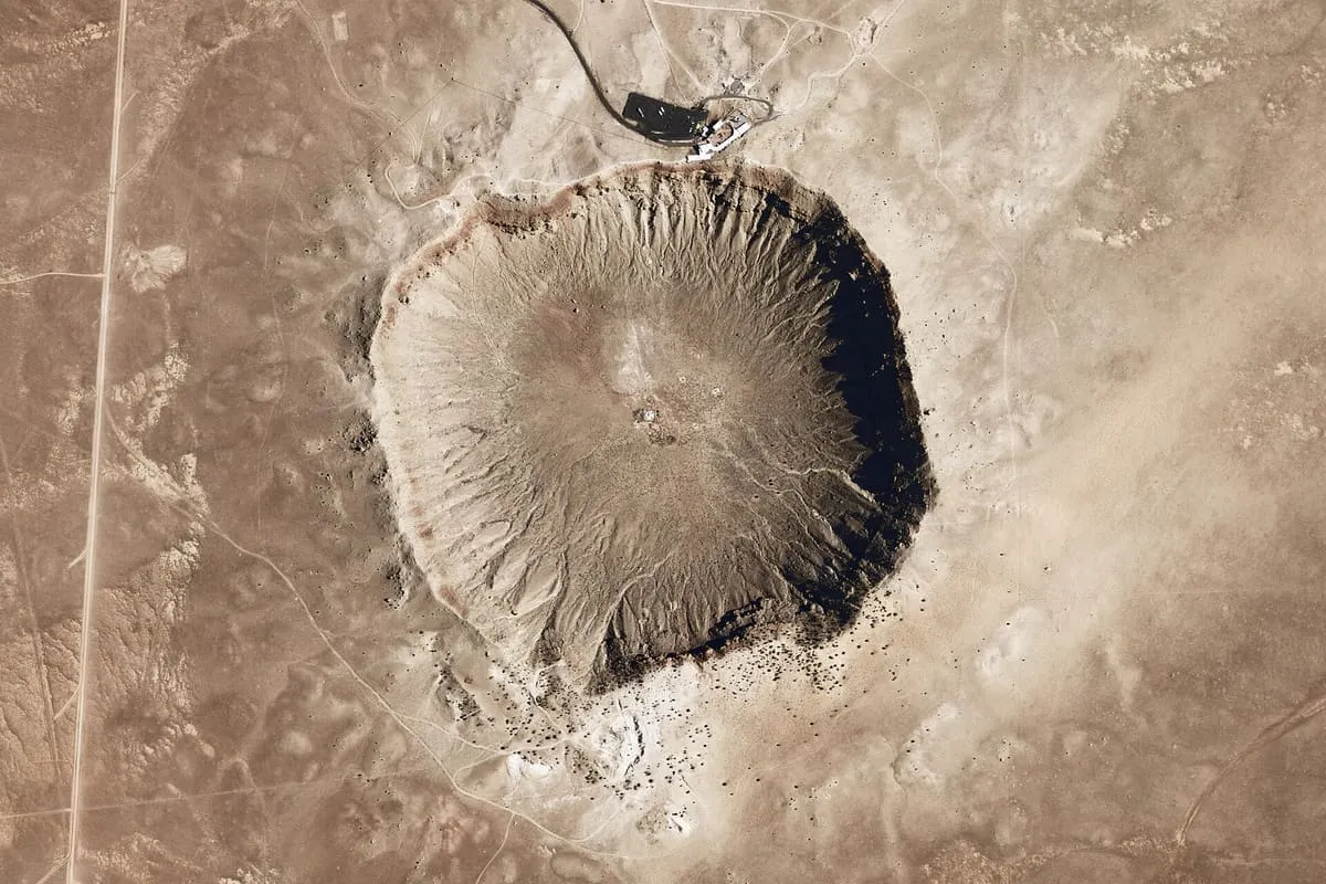
An impact crater 3,900 feet across in northern Arizona, and the first on Earth confirmed to have been formed by a meteorite.
2 Score 72.0 out of 100 72.0
Natural Landmark
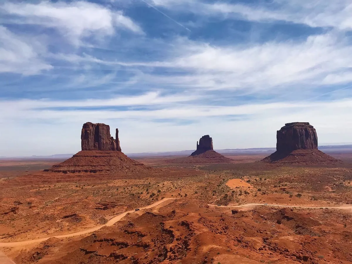
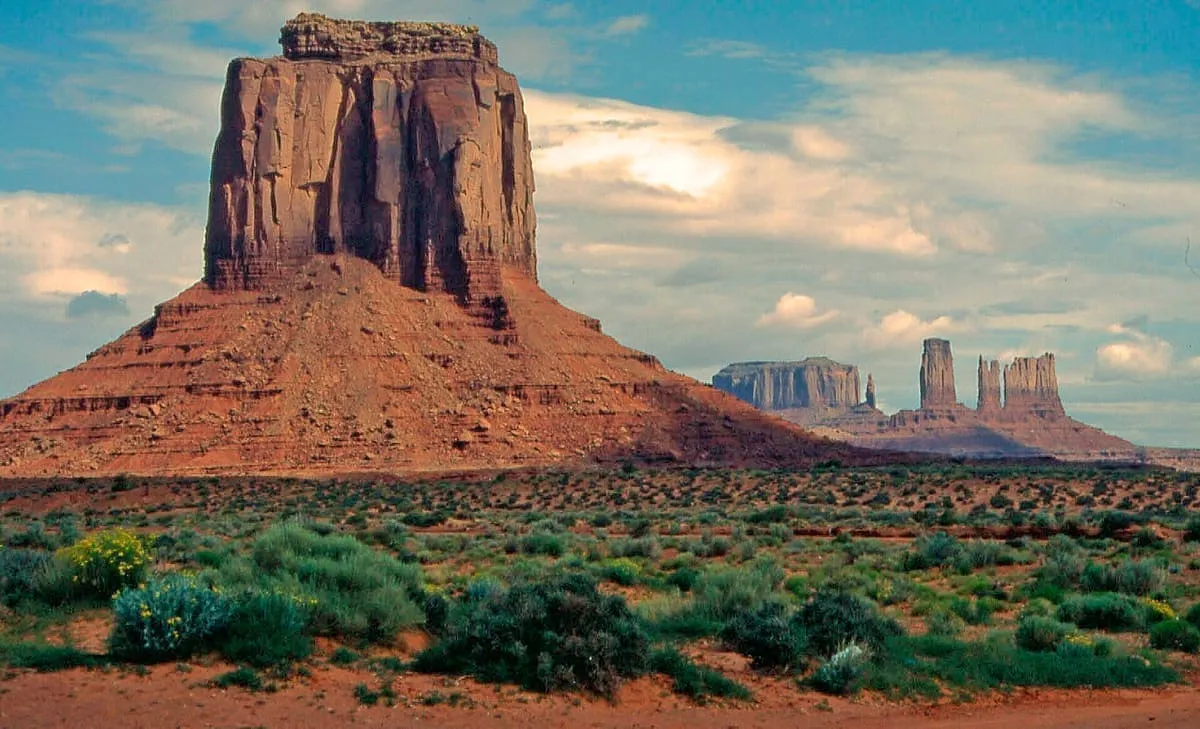
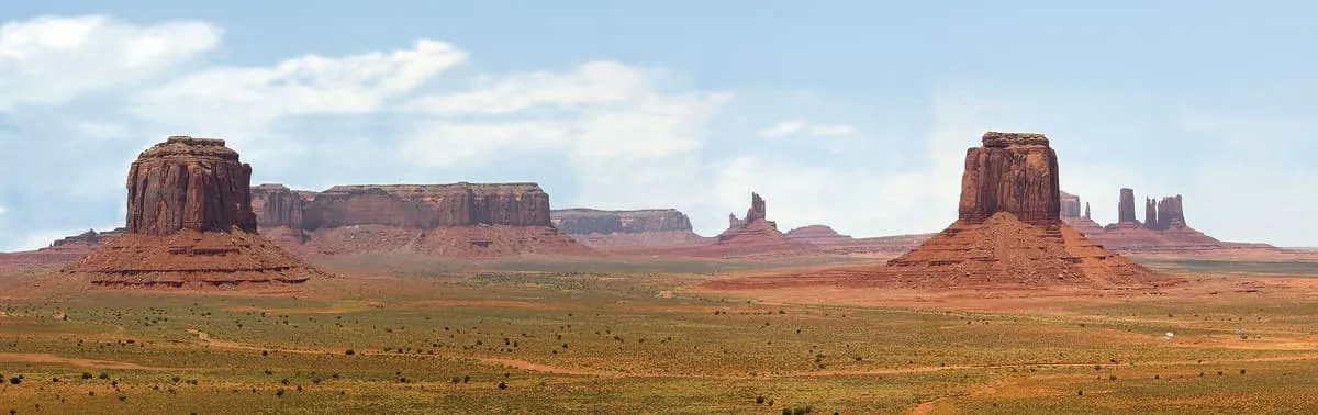
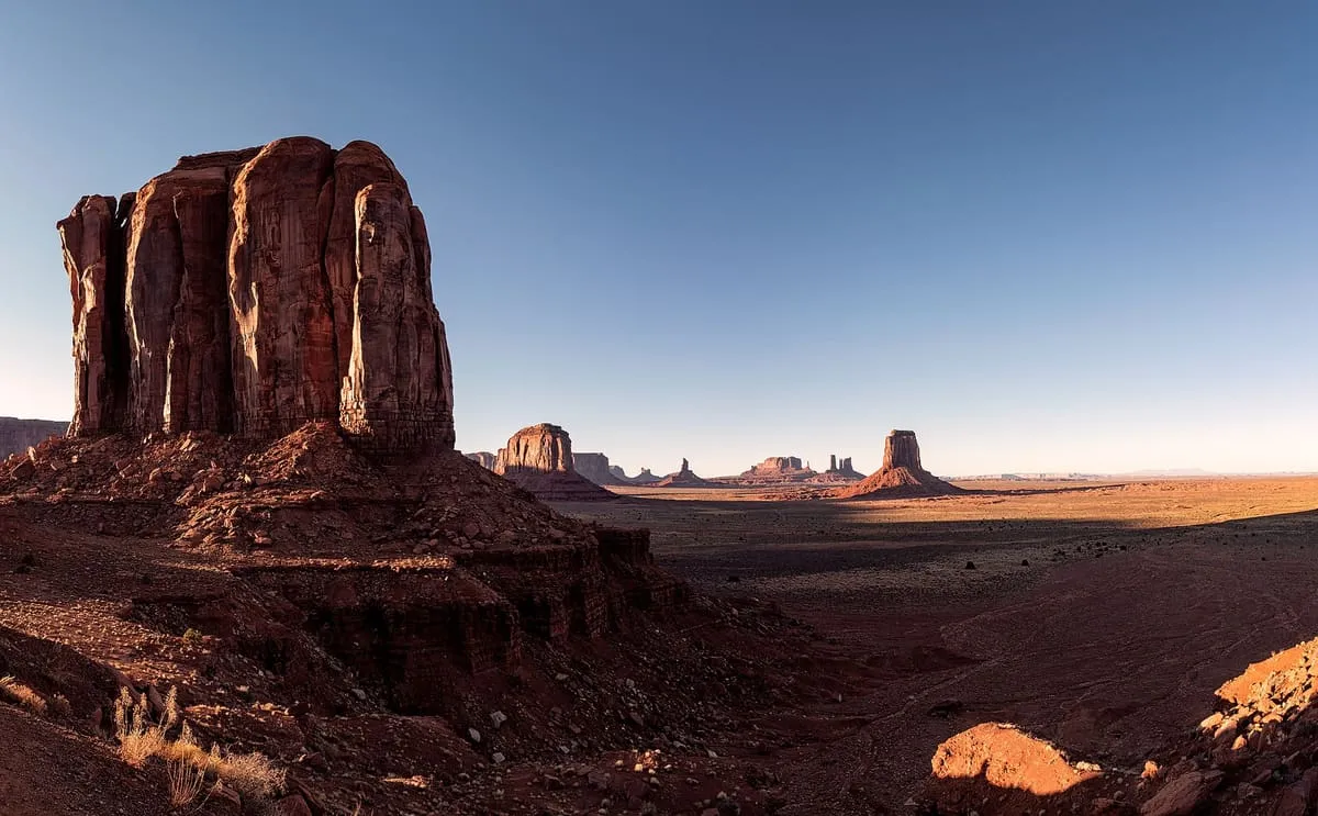
A cluster of sandstone buttes on the Navajo Nation, the largest rising 1,000 feet above the valley floor.
3 Score 72.0 out of 100 72.0
Natural Landmark
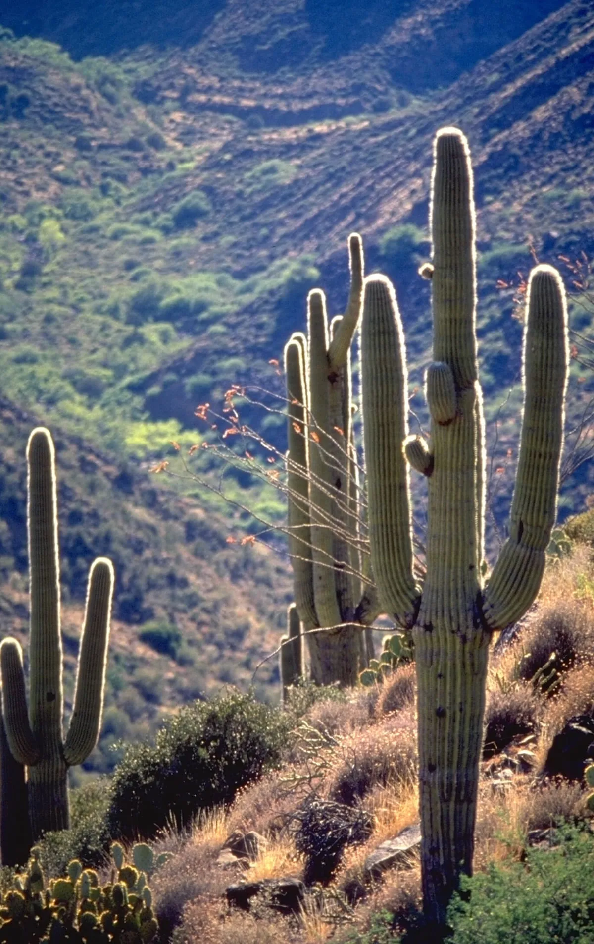
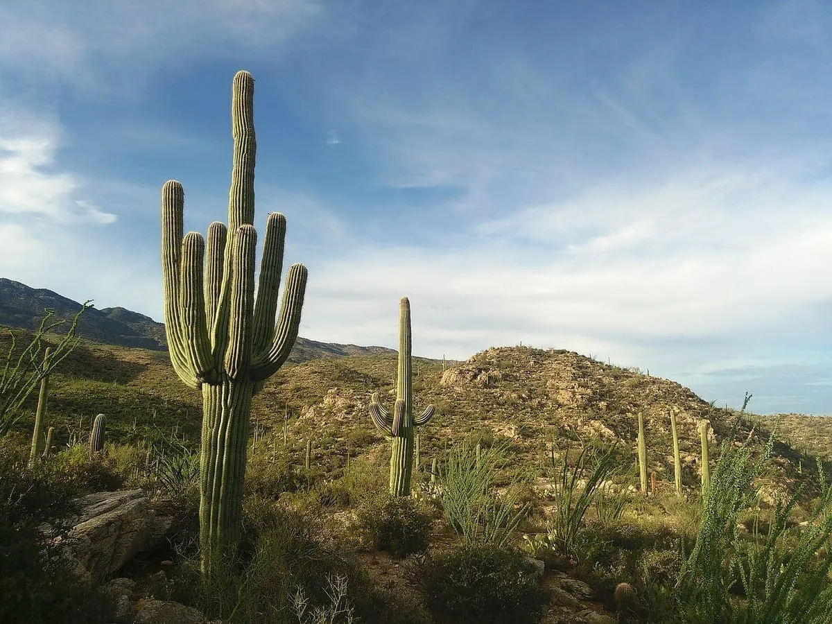
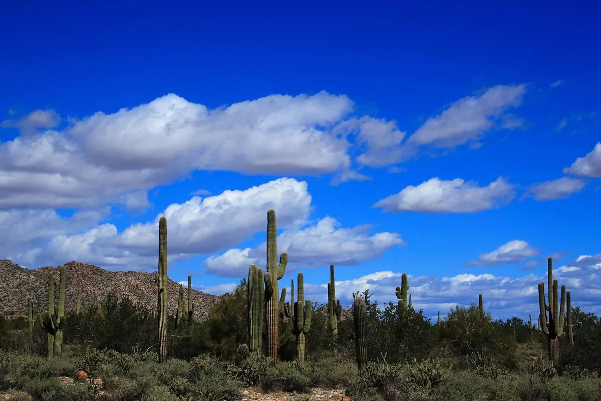
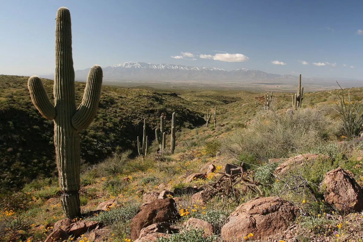
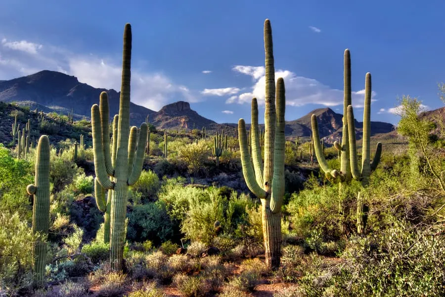
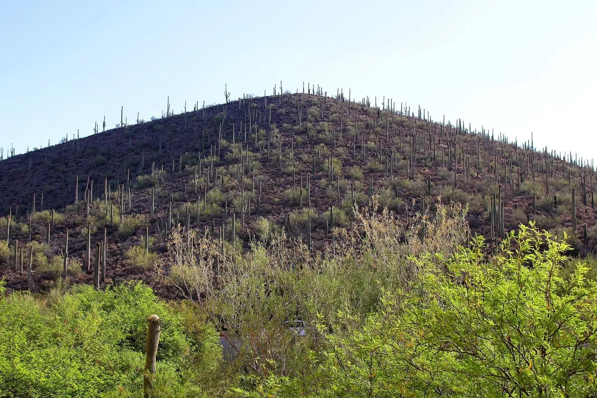
A subtropical hot desert of 260,000 square kilometres, home to the saguaro and the organ pipe cactus.
4 Score 68.3 out of 100 68.3
Natural Landmark
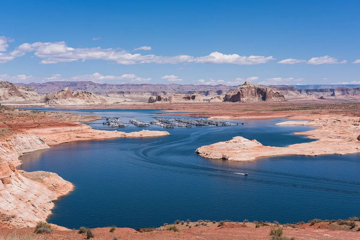
A Colorado River reservoir on the Utah–Arizona line, created by Glen Canyon Dam and visited by about two million people a year.
5 Score 64.9 out of 100 64.9
Natural Landmark
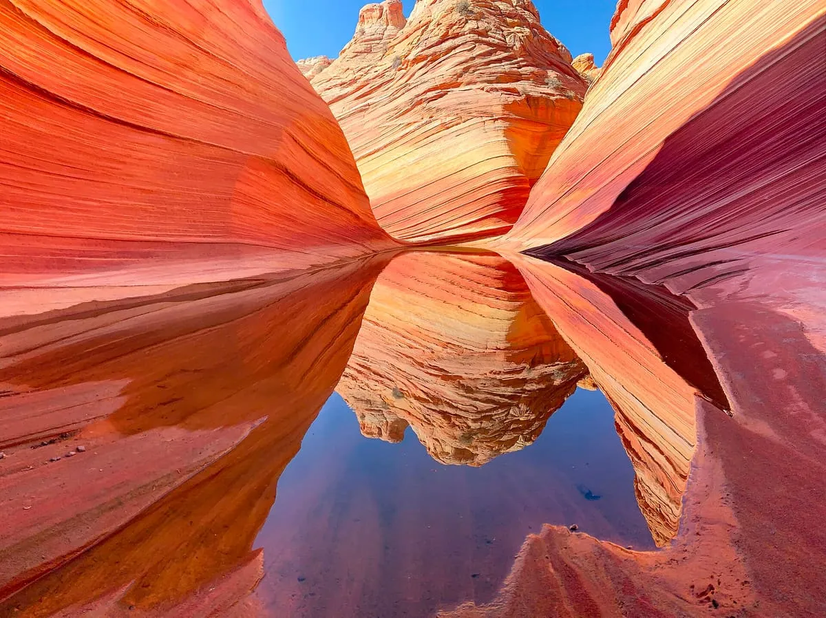
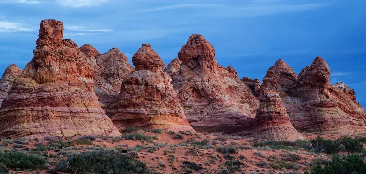
A banded sandstone formation in the Coyote Buttes, reached only by permit lottery and a difficult hike.
6 Score 64.2 out of 100 64.2
Natural Landmark
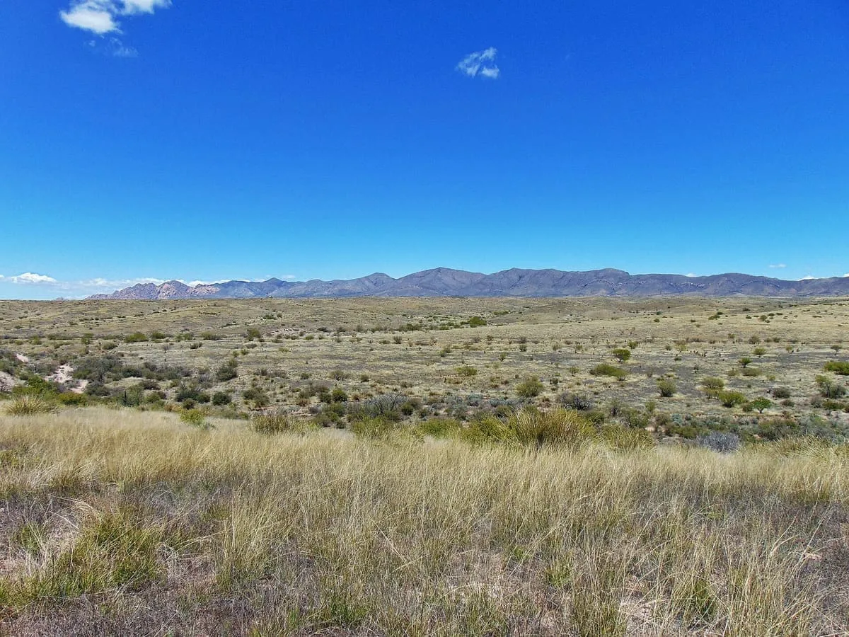
A valley running 140 miles north from Sonora into Arizona, carrying the San Pedro River to Winkelman.
7 Score 64.1 out of 100 64.1
Natural Landmark
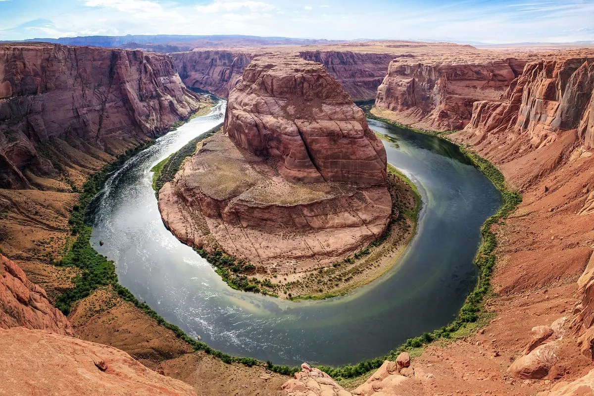
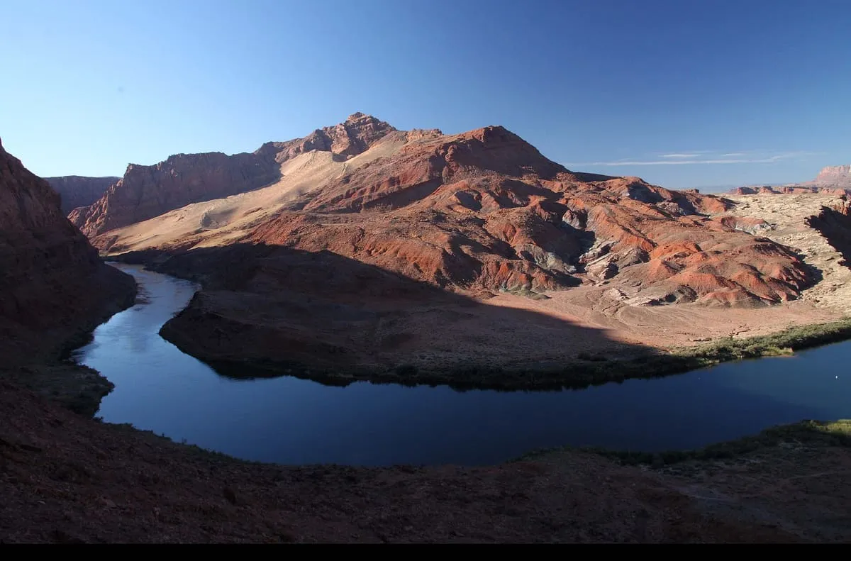
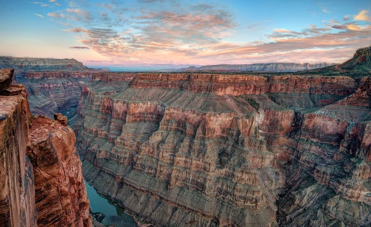
An incised meander of the Colorado River near Page, viewed from a clifftop overlook 1,000 feet above the water.
8 Score 63.6 out of 100 63.6
Natural Landmark
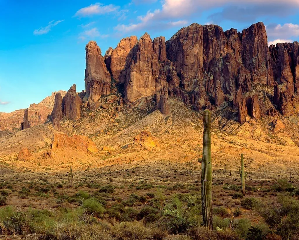
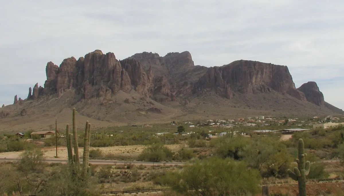
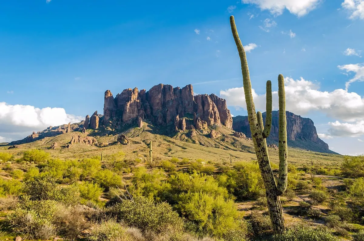
A range east of the Phoenix metropolitan area anchored by Superstition Mountain, and a well-used recreation area.
9 Score 61.7 out of 100 61.7
Natural Landmark
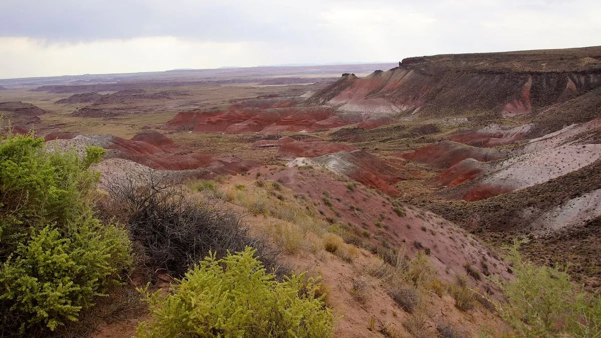
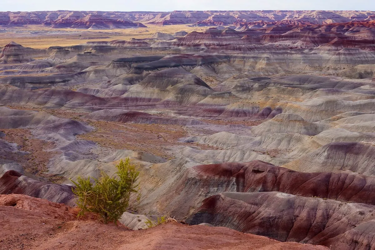
A badlands region running from the Grand Canyon to Petrified Forest, known for the colour of its rock.
10 Score 60.0 out of 100 60.0
Natural Landmark
A topographical feature running some 200 miles across northern Arizona, forming the southern edge of the Colorado Plateau.
11 Score 59.4 out of 100 59.4
Natural Landmark
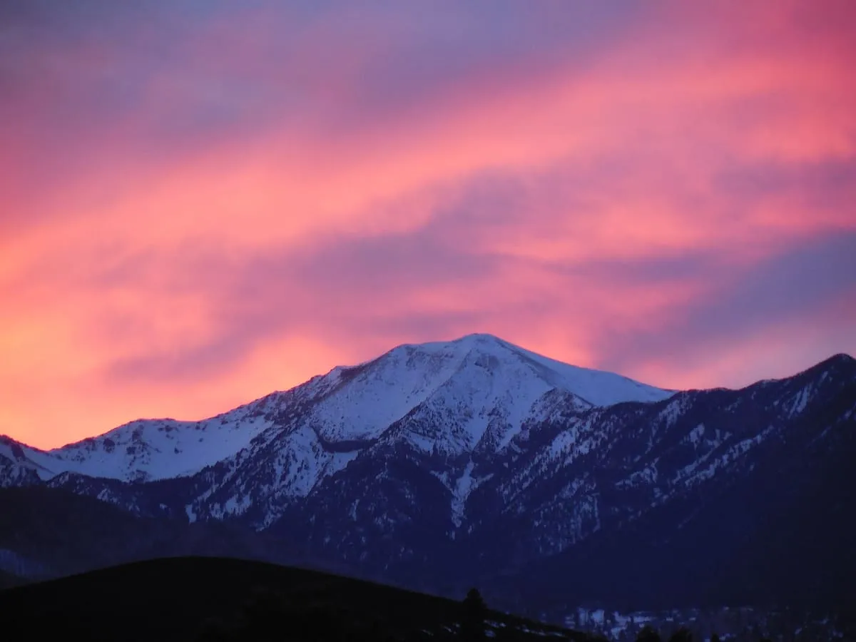
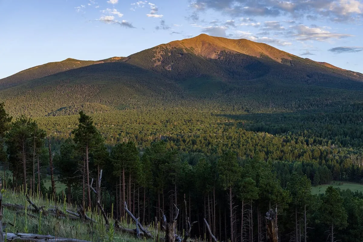
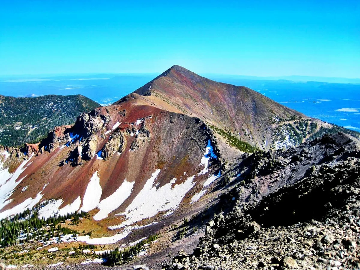
A volcanic range north of Flagstaff, crowned by Humphreys Peak at 12,633 feet, the highest point in Arizona.
12 Score 58.7 out of 100 58.7
Natural Landmark
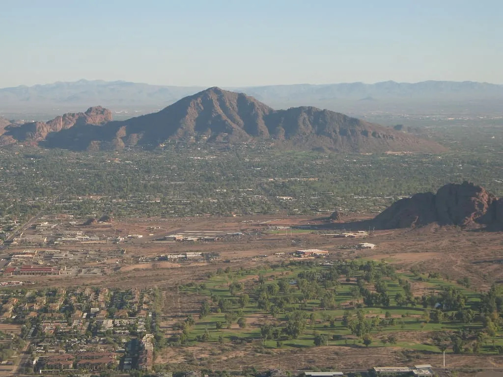
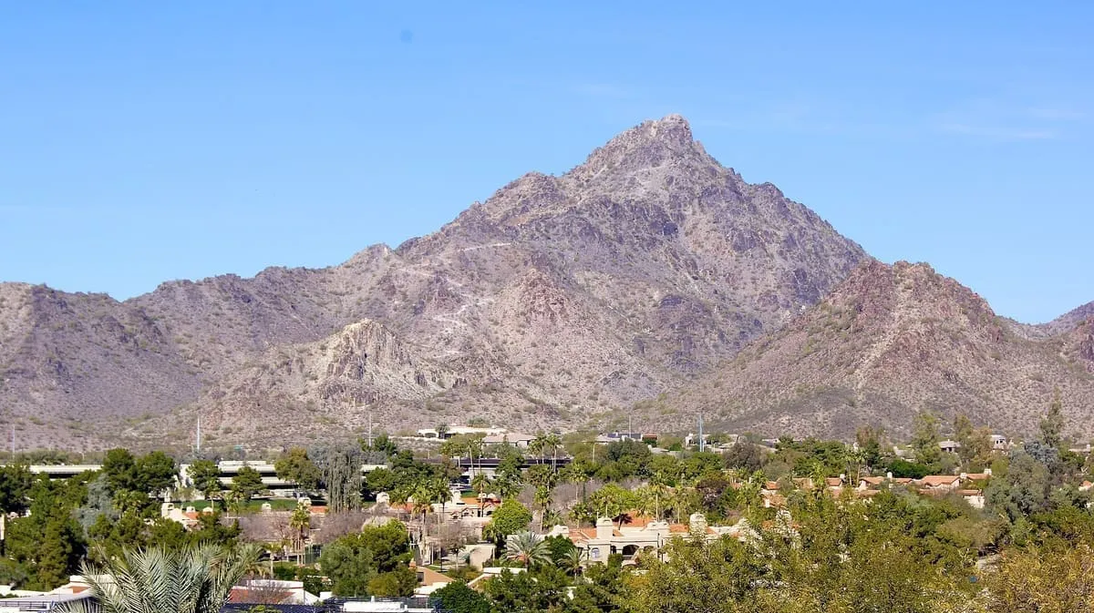
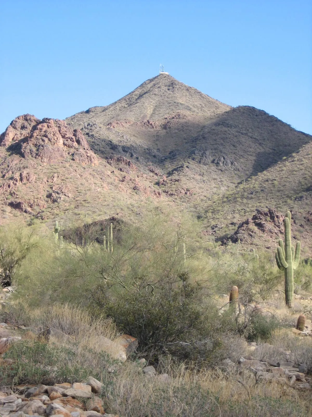
The highest peak in the Phoenix metropolitan area, named for its resemblance to the hump and head of a kneeling camel.
13 Score 58.6 out of 100 58.6
Natural Landmark
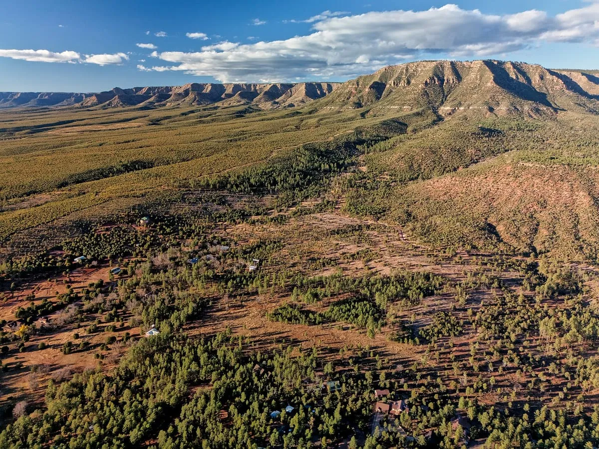
A 1.6-million-acre national forest bordering both rims of the Grand Canyon, divided into three ranger districts.
14 Score 57.2 out of 100 57.2
Natural Landmark
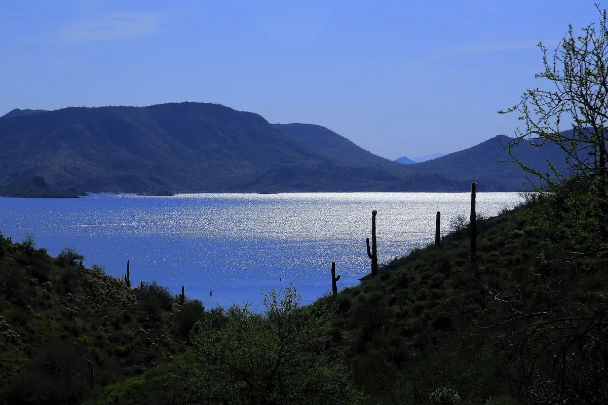
A large recreation area on the Maricopa–Yavapai county line north-west of Phoenix, operated by Maricopa County Parks and Recreation.
15 Score 57.2 out of 100 57.2
Natural Landmark
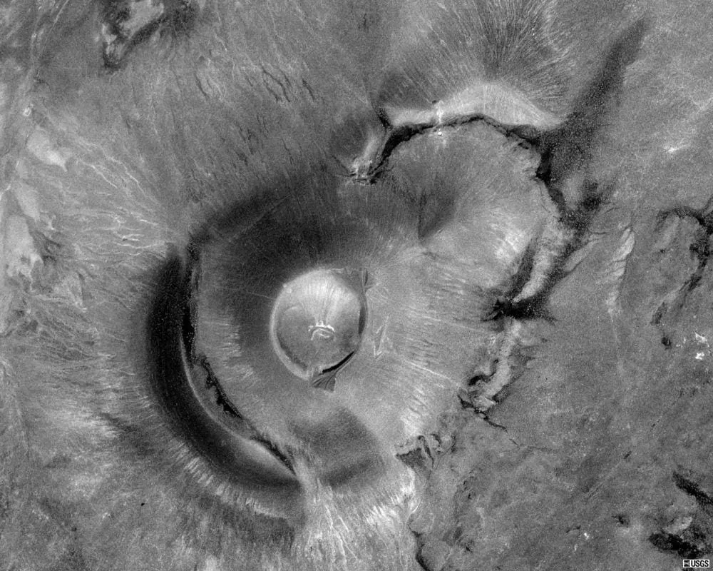
An extinct volcanic cinder cone with an interior crater, standing about 50 miles north-east of Flagstaff in northern Arizona.
16 Score 56.4 out of 100 56.4
Natural Landmark
A 10,720-foot peak north-east of Tucson, the highest in the Pinaleño Mountains and the southernmost land above 10,000 feet in the country.
17 Score 56.4 out of 100 56.4
Natural Landmark
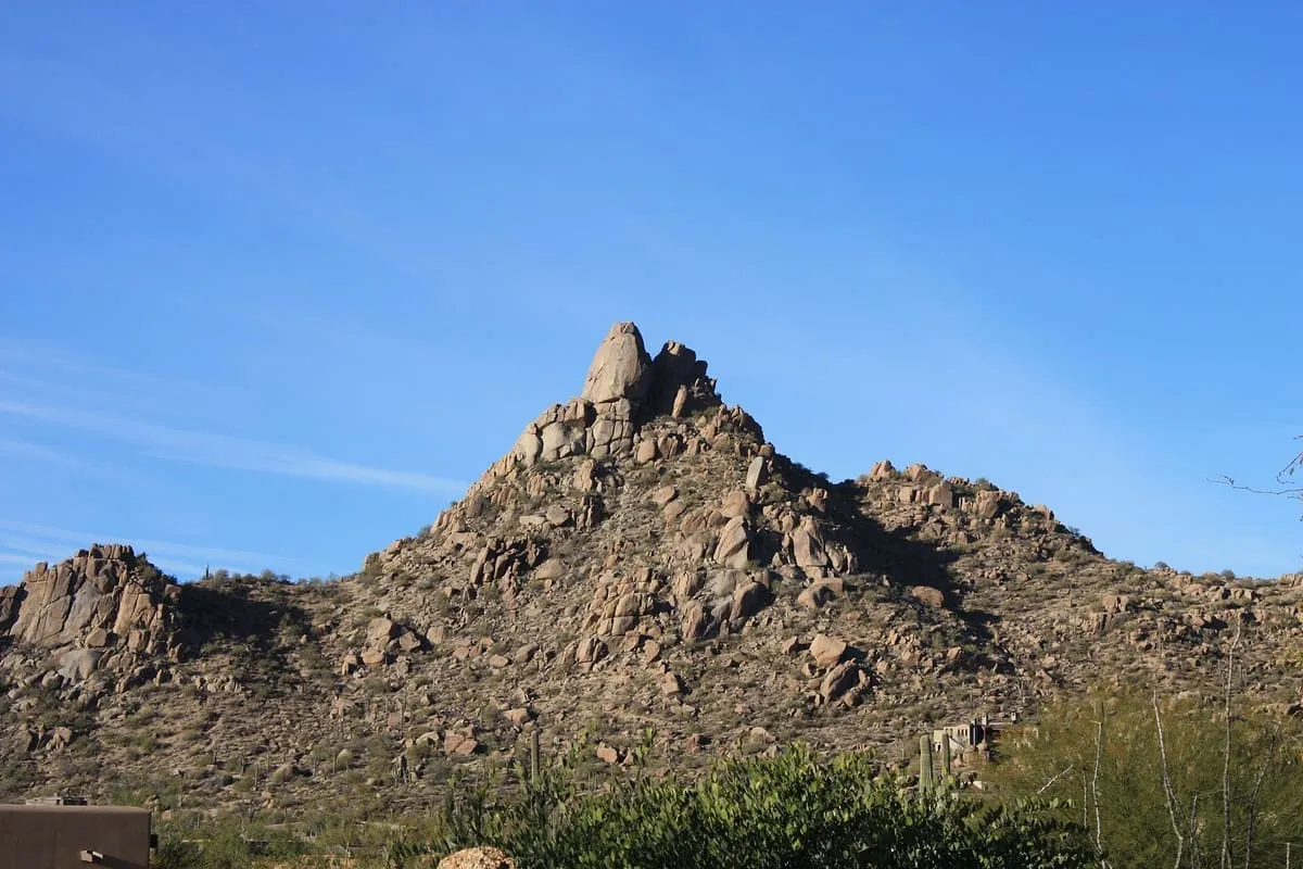
A 2,610-foot summit in the Phoenix Mountain Preserve, named for Army Specialist Lori Ann Piestewa and climbed by a strenuous trail.
18 Score 55.3 out of 100 55.3
Natural Landmark
At 2,873,200 acres the largest national forest in Arizona, running from Sonoran Desert up to the pine forests of the Mogollon Rim.
19 Score 55.3 out of 100 55.3
Natural Landmark
A mountainous region of eastern Arizona rising to Mount Baldy at 11,400 feet, much of it within the Fort Apache Indian Reservation.
20 Score 55.1 out of 100 55.1
Natural Landmark
A 1.856-million-acre national forest around Flagstaff and Sedona, rising from desert to Humphreys Peak at 12,633 feet.
21 Score 55.0 out of 100 55.0
Natural Landmark
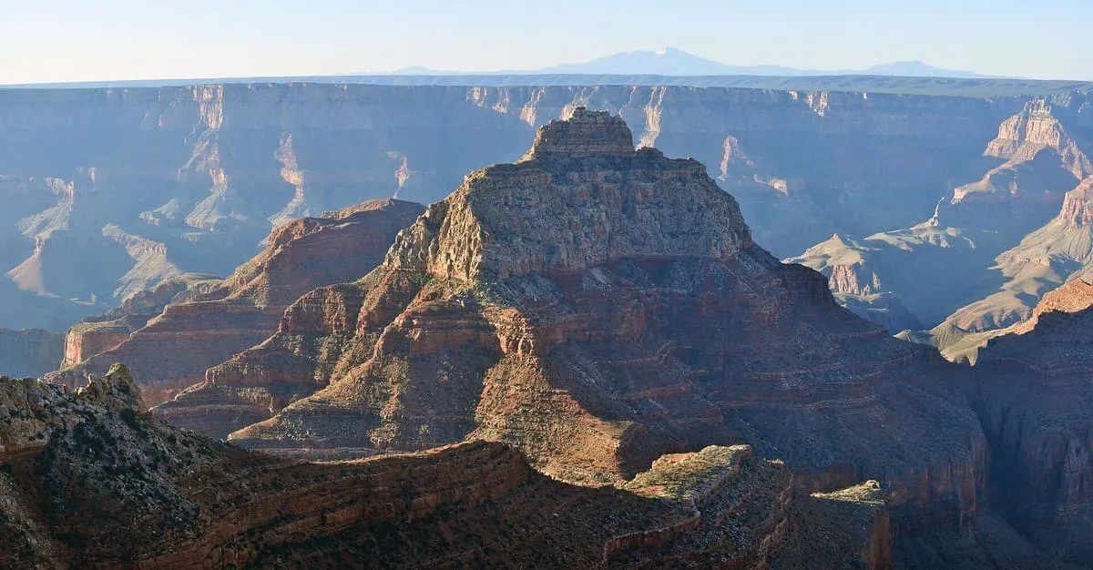
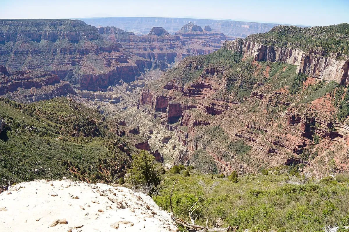
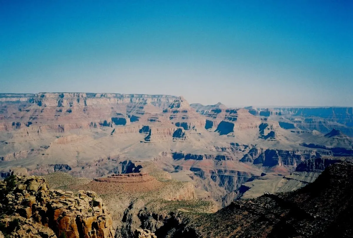
Cheops Pyramid is a summit of 5,401 feet elevation standing within the Grand Canyon, in Coconino County, Arizona.
22 Score 54.7 out of 100 54.7
Natural Landmark
A sandstone butte near Sedona rising to 4,967 feet, reached by a short, steep trail from the Back O' Beyond trailhead.
23 Score 54.5 out of 100 54.5
Natural Landmark
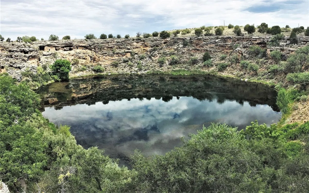
A limestone sinkhole near Lake Montezuma discharging 1.5 million gallons of spring water a day and holding five endemic species.
24 Score 53.8 out of 100 53.8
Natural Landmark
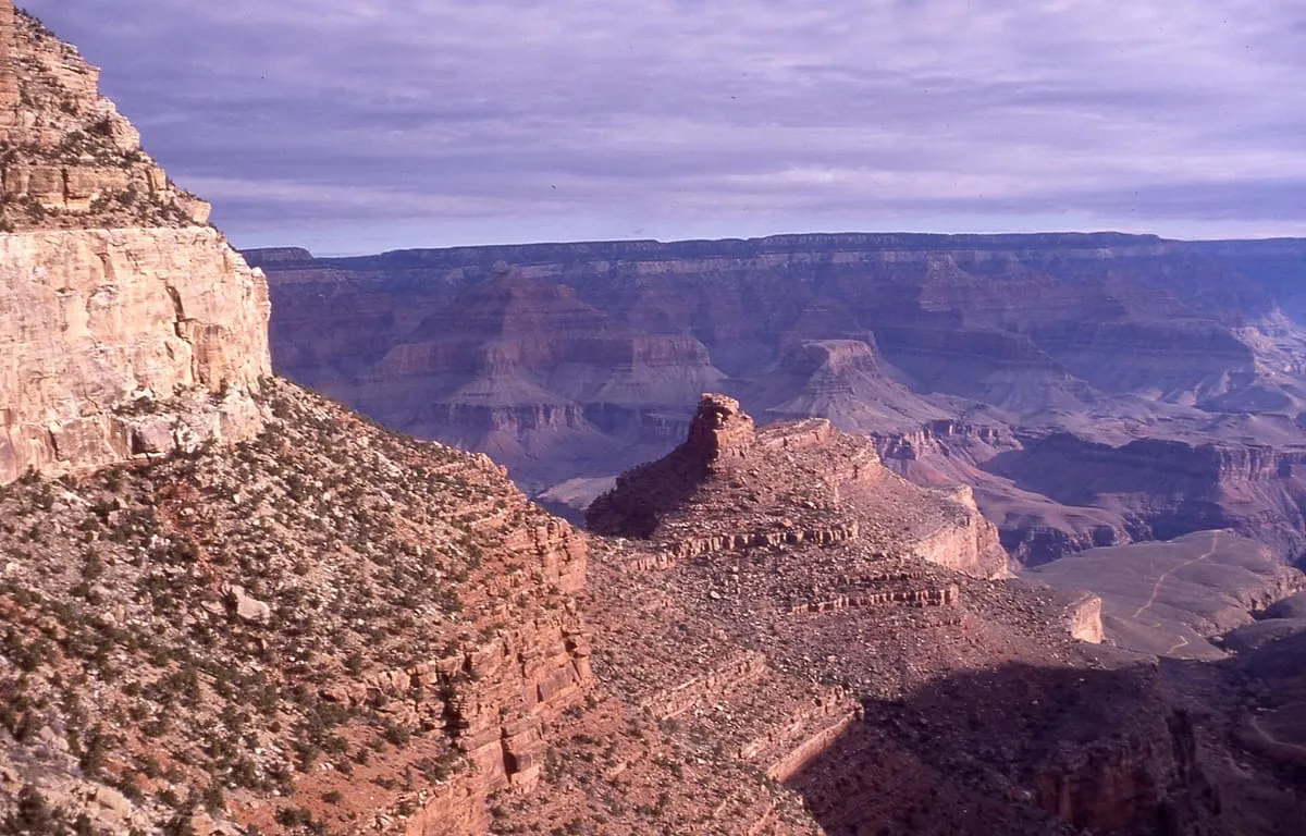
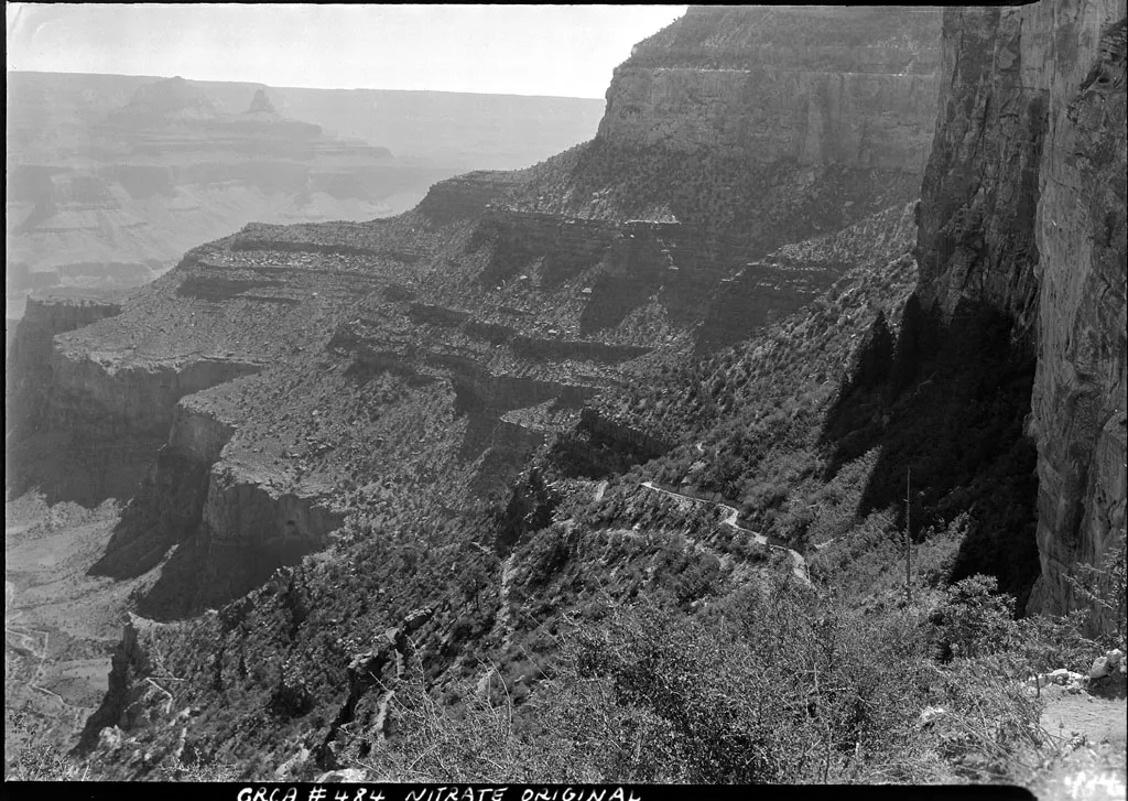
The most popular trail in Grand Canyon National Park, descending from Bright Angel Lodge by switchbacks to Indian Gardens.
25 Score 53.8 out of 100 53.8
Natural Landmark
An elongate range on the Colorado Plateau within the Navajo Nation, rising to 9,823 feet at Roof Butte in northern Arizona.
26 Score 53.1 out of 100 53.1
Natural Landmark
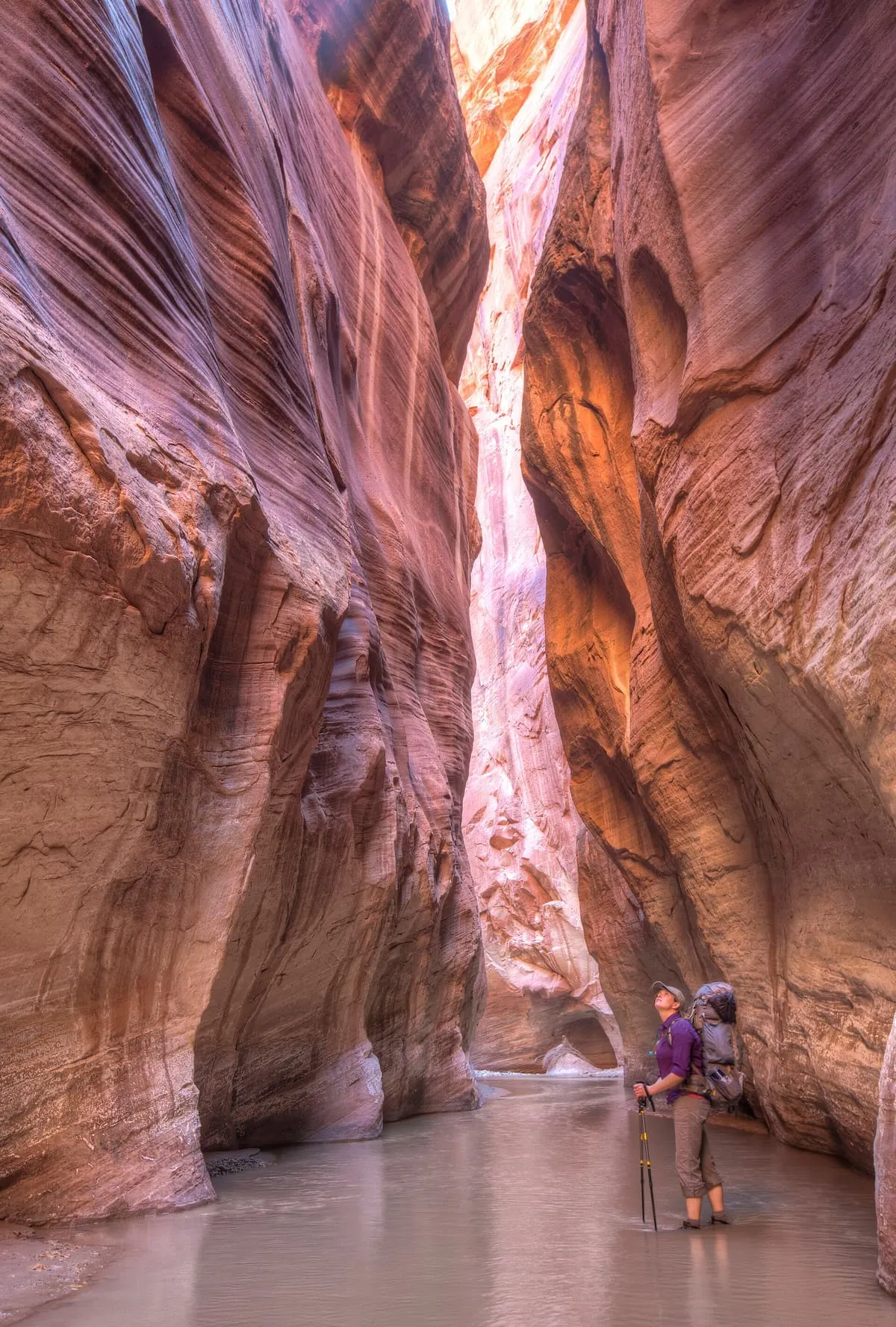
A permit-only section of the Paria Canyon-Vermilion Cliffs Wilderness in Navajo Sandstone, containing the formation known as the Wave.
27 Score 53.1 out of 100 53.1
Natural Landmark
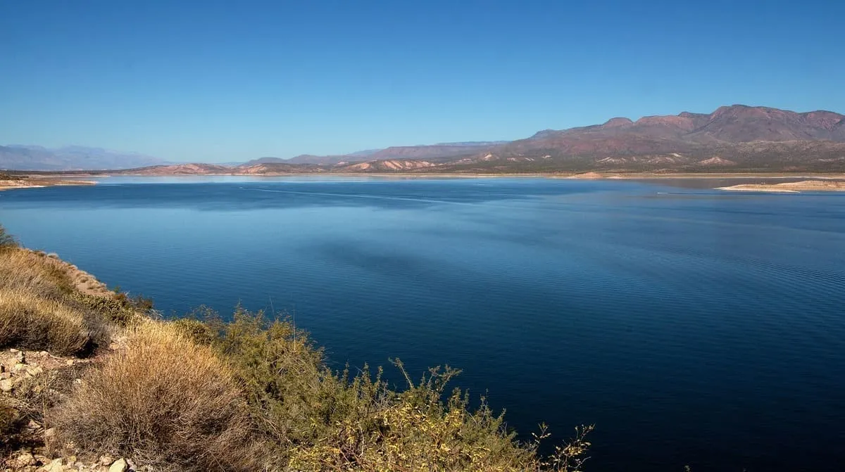
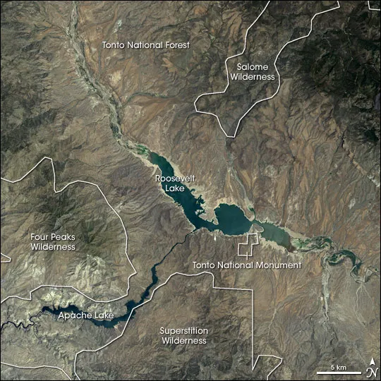
The largest reservoir lying entirely within Arizona, formed on the Salt River by a dam Theodore Roosevelt dedicated in 1911.
28 Score 52.9 out of 100 52.9
Natural Landmark
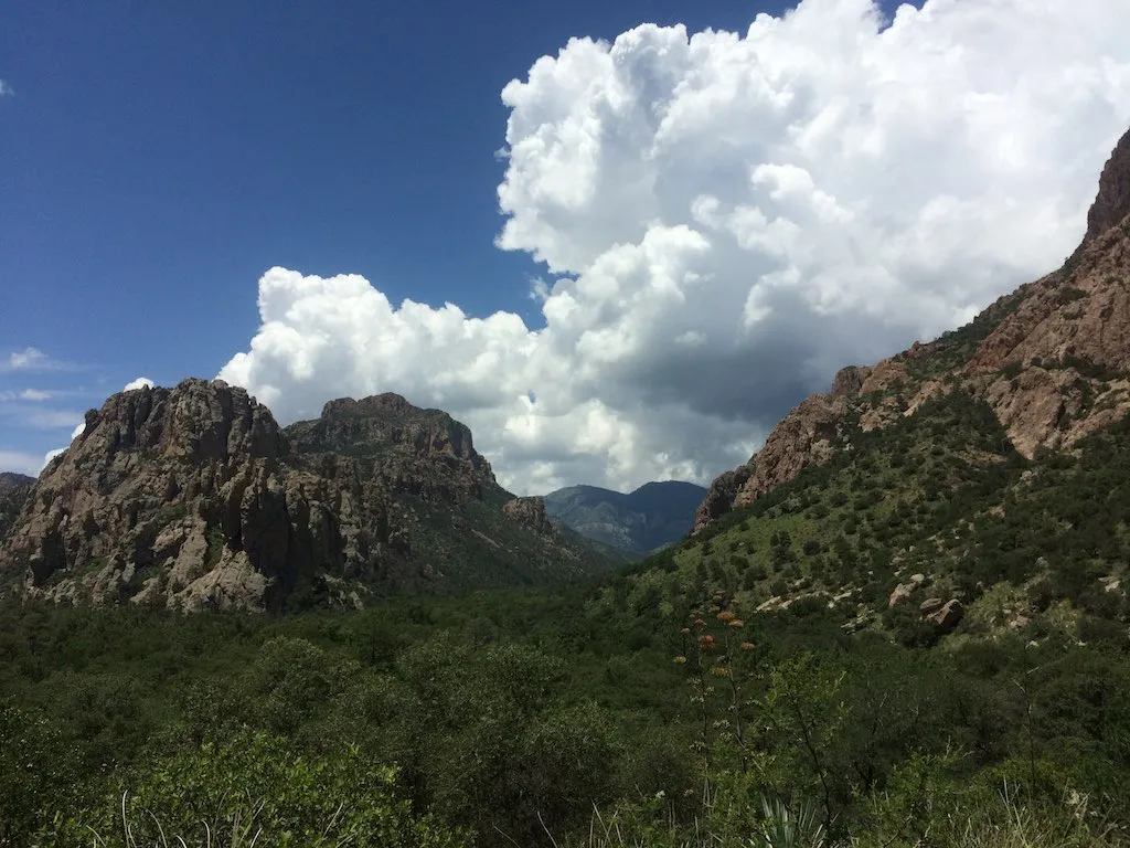
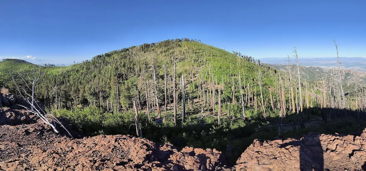
A range in south-eastern Arizona rising to 9,759 feet at Chiricahua Peak, lying largely within the Coronado National Forest.
29 Score 52.6 out of 100 52.6
Natural Landmark
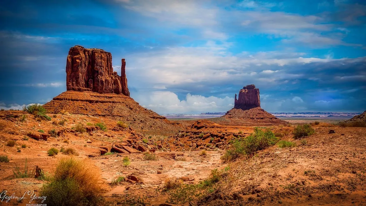
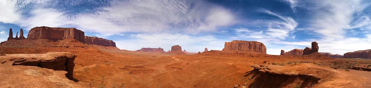
Two buttes in Monument Valley Navajo Tribal Park, rising above 6,100 feet and named for their resemblance to a pair of mittens.
30 Score 52.5 out of 100 52.5
Natural Landmark
A Colorado River crossing in Coconino County, and the gauging point dividing the river's Upper and Lower Basins since the 1920s.
31 Score 52.3 out of 100 52.3
Natural Landmark
A municipal park of Phoenix and Tempe, designated a Phoenix Point of Pride and containing Hunt's Tomb.
32 Score 52.3 out of 100 52.3
Natural Landmark
A summit within the Grand Canyon, in Coconino County, Arizona, standing at an elevation of 7,533 feet.
33 Score 51.8 out of 100 51.8
Natural Landmark
A Madrean sky island range south-east of Tucson, rising to 9,453 feet at Mount Wrightson and containing Madera Canyon.
34 Score 51.6 out of 100 51.6
Natural Landmark
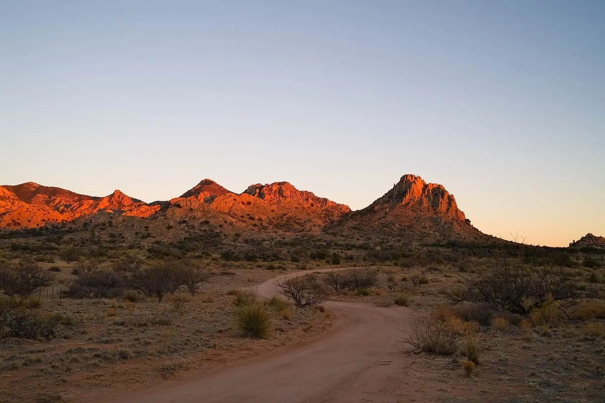
A 25-mile range in Cochise County named after the U.S. Cavalry Dragoons who fought the Chiricahua during the Apache Wars.
35 Score 51.5 out of 100 51.5
Natural Landmark
A national forest of about 1.78 million acres spread across mountain ranges in south-eastern Arizona and south-western New Mexico.
36 Score 51.5 out of 100 51.5
Natural Landmark
The range north of Tucson, rising to 9,157 feet at Mount Lemmon and climbed by the 27-mile Catalina Highway.
37 Score 51.4 out of 100 51.4
Natural Landmark
A Grand Canyon trail from Yaki Point following a ridgeline to the Colorado River, steeper and less shaded than the Bright Angel.
38 Score 51.3 out of 100 51.3
Natural Landmark
A Coconino Sandstone prominence in the Grand Canyon, five miles north of Grand Canyon Village and only slightly below its elevation.
39 Score 51.2 out of 100 51.2
Natural Landmark
A landmark mountain east of Apache Junction anchoring the Superstition Mountains and central to the Lost Dutchman legend.
40 Score 51.0 out of 100 51.0
Natural Landmark
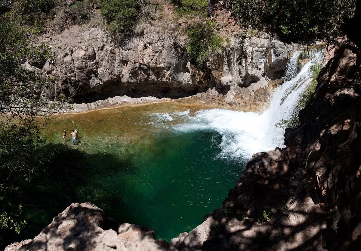
A perennial travertine-forming stream below the Mogollon Rim, one of only two Arizona streams in the National Wild and Scenic Rivers System.
41 Score 51.0 out of 100 51.0
Natural Landmark
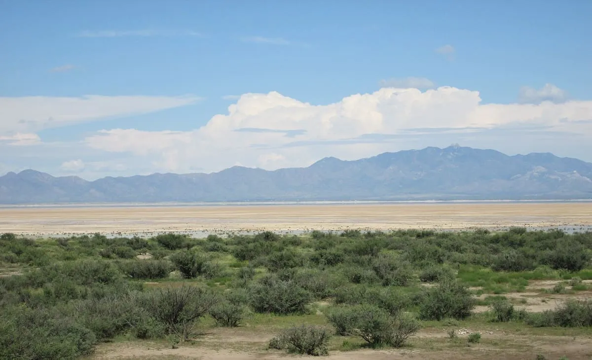
A 40-square-mile dry lake beside Willcox, remnant of Pleistocene Lake Cochise and a National Natural Landmark since 1966.
42 Score 50.7 out of 100 50.7
Natural Landmark
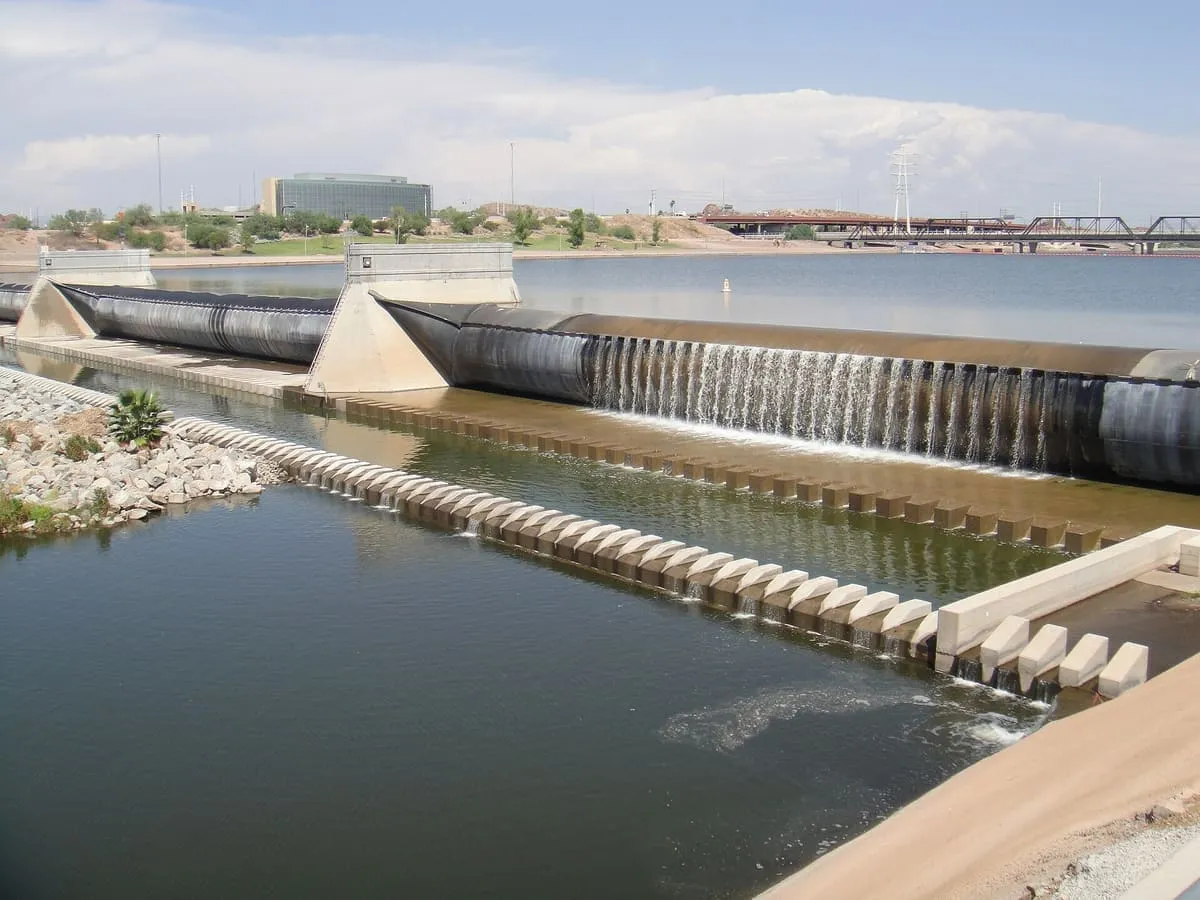
An artificial reservoir on the Salt River in Tempe, fed largely by Colorado River water through the Central Arizona Project.
43 Score 50.5 out of 100 50.5
Natural Landmark
The smallest of four Salt River reservoirs, formed by Mormon Flat Dam in 1925 and covering 950 acres in the Superstition Wilderness.
44 Score 50.5 out of 100 50.5
Natural Landmark
A four-summit massif in the Mazatzal Mountains east of Phoenix, rising to 7,659 feet at Brown's Peak, the highest point in Maricopa County.
45 Score 50.5 out of 100 50.5
Natural Landmark
A mountain in Paradise Valley, residential on its slopes and conservation land at its summit, with the Camelback Inn below since 1936.
46 Score 50.1 out of 100 50.1
Natural Landmark
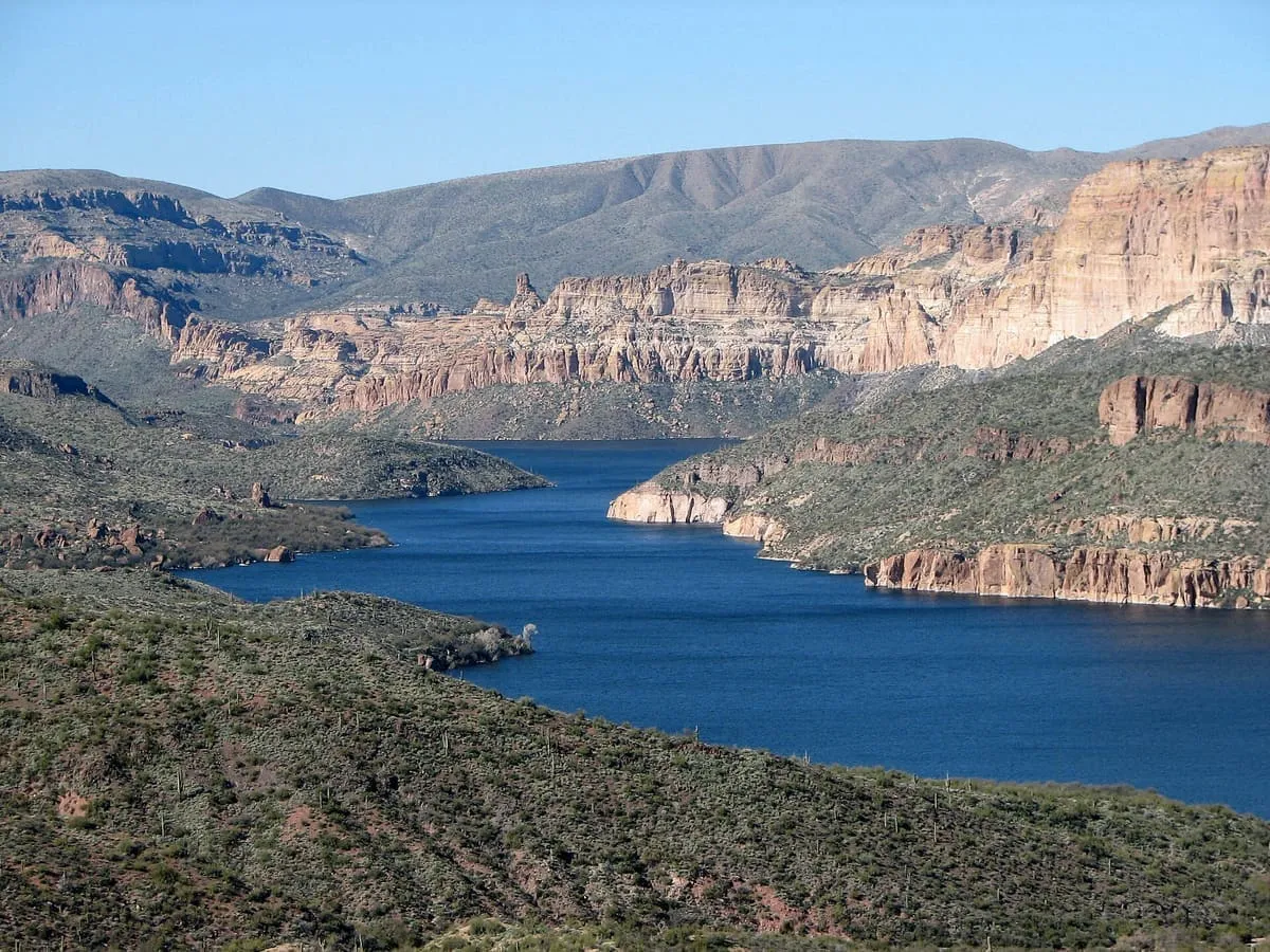
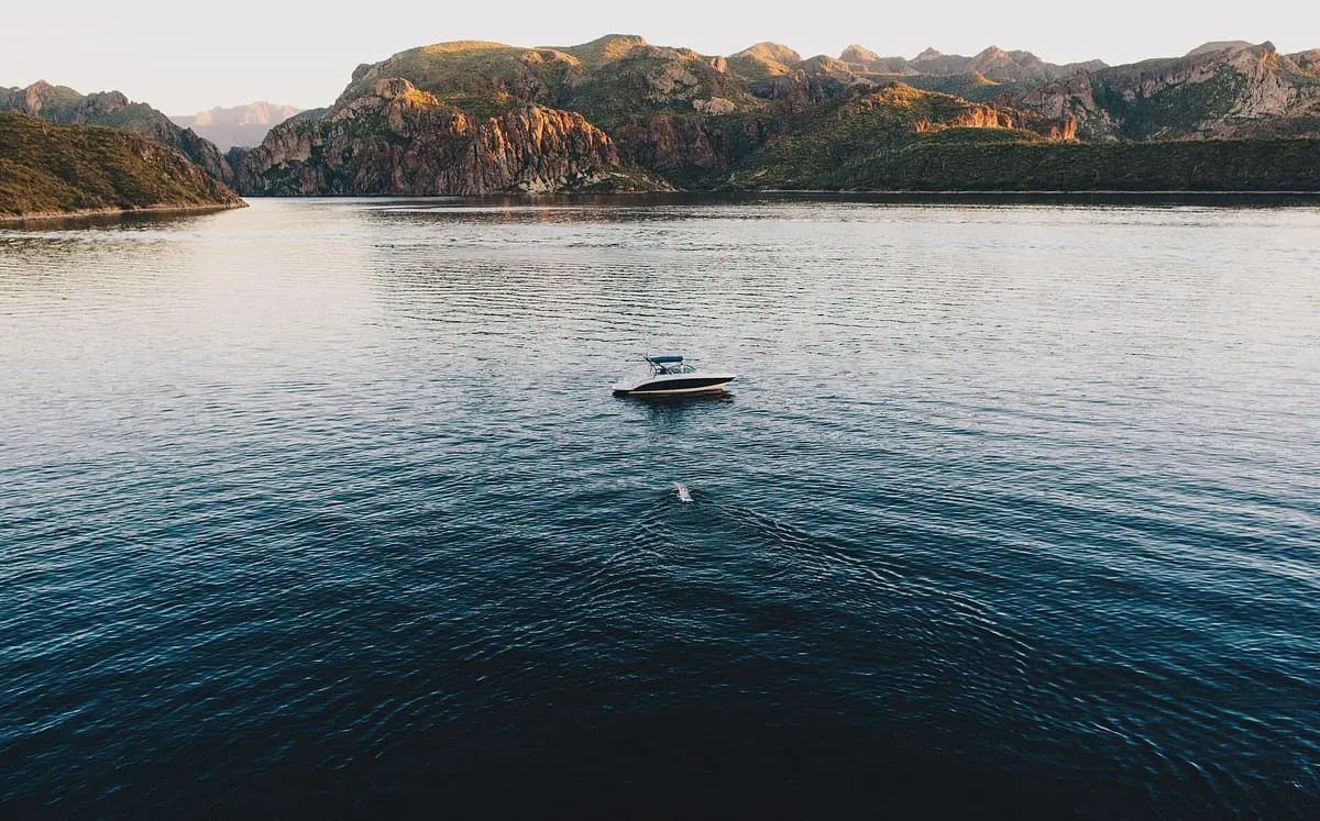
A Colorado River reservoir between Hoover and Davis dams on the Nevada–Arizona border, part of Lake Mead National Recreation Area.
47 Score 49.8 out of 100 49.8
Natural Landmark
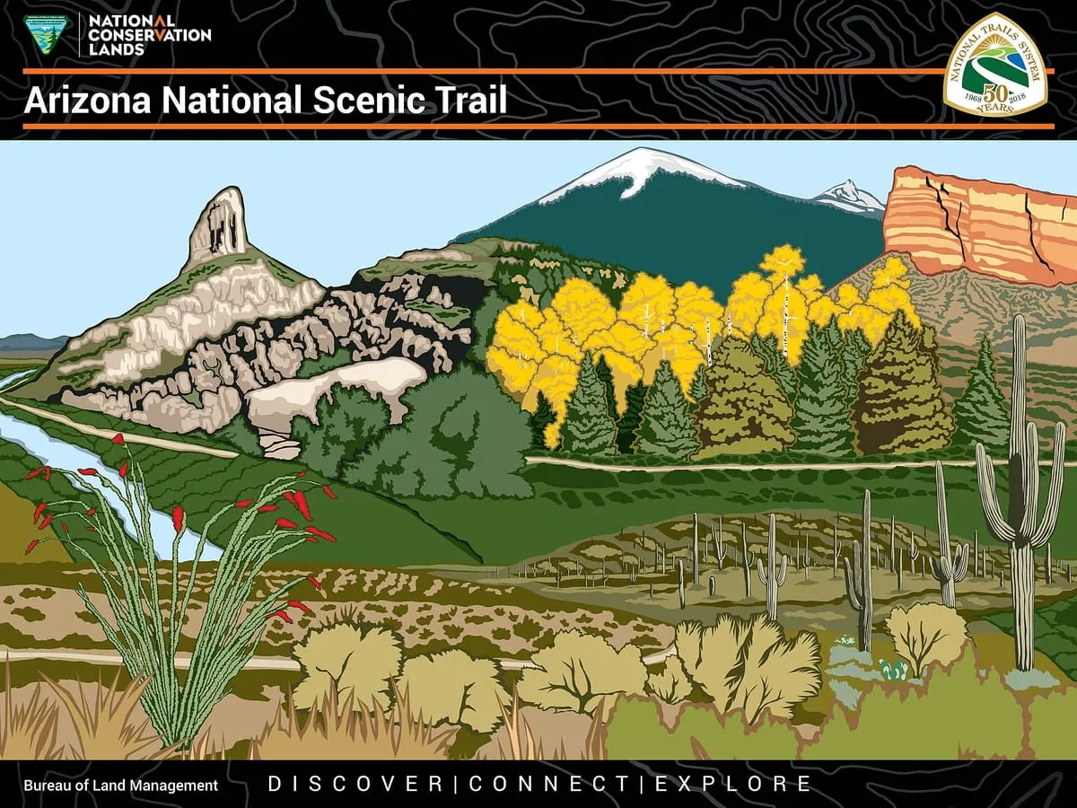
An 800-mile National Scenic Trail crossing Arizona from Mexico to Utah, completed in 2011 and open to walkers, riders and cyclists.
48 Score 49.6 out of 100 49.6
Natural Landmark
The fourth reservoir on the Salt River, formed by Stewart Mountain Dam and managed within the Tonto National Forest.
49 Score 49.5 out of 100 49.5
Natural Landmark
An upland mesa in Navajo and Apache counties, named for the dark appearance of its pinyon-juniper and mixed conifer woodlands.
50 Score 49.4 out of 100 49.4
Natural Landmark
A butte of 4,919 feet south of Sedona, beside Courthouse Butte, with a moderate route to a plateau on its north-west face.
51 Score 49.4 out of 100 49.4
Natural Landmark
A central Arizona valley on the Verde River, overlooked by Mingus Mountain and one of the state's three viticultural regions.
52 Score 49.3 out of 100 49.3
Natural Landmark
A sinkhole on the Soldier Pass Trail near Sedona, formed in the late 1880s and 840 feet deep including the cave below it.
53 Score 49.3 out of 100 49.3
Natural Landmark
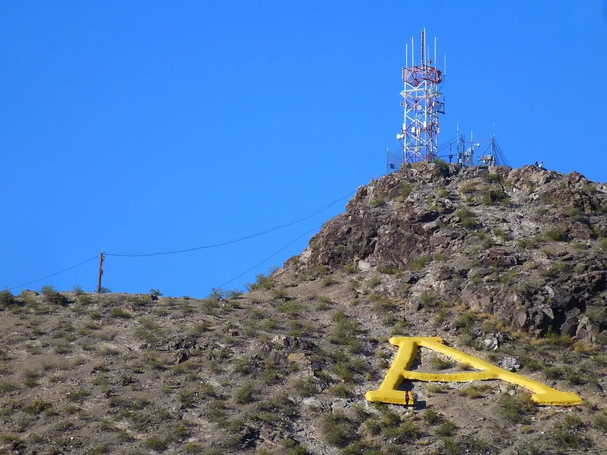
A 2,897-foot peak south-west of downtown Tucson, carrying the University of Arizona's block letter A since the 1910s.
54 Score 49.2 out of 100 49.2
Natural Landmark
A 2.76-million-acre national forest along the Mogollon Rim and White Mountains, managed as one unit from Springerville.
55 Score 49.1 out of 100 49.1
Natural Landmark
A high plateau almost entirely within Coconino County, also known as Buckskin Mountain, Buckskin Plateau and Kaibab Mountain.
56 Score 49.1 out of 100 49.1
Natural Landmark
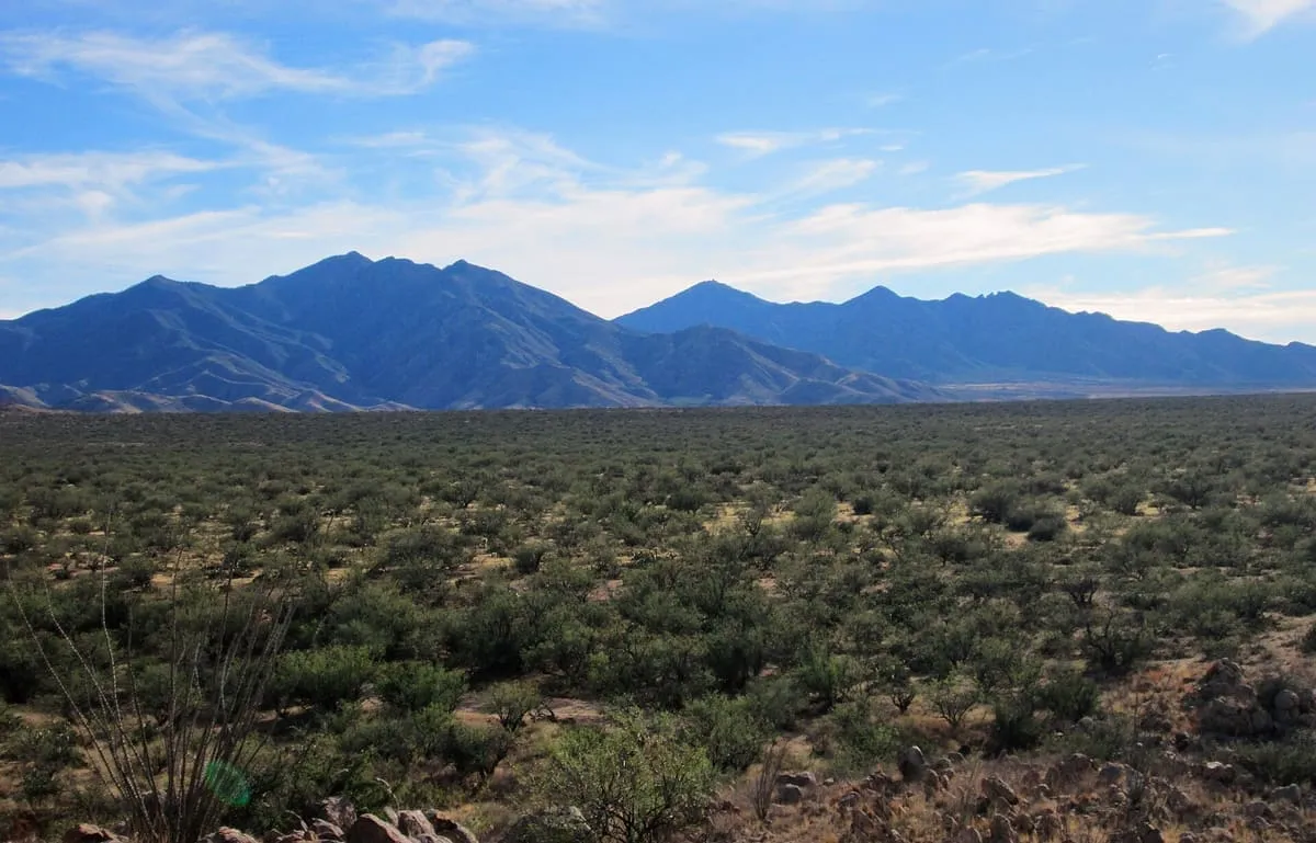
A mountain range 15 miles long in Santa Cruz County, Arizona, lying within the Coronado National Forest.
57 Score 49.1 out of 100 49.1
Natural Landmark
A volcanic butte on the Arizona State University campus in Tempe, known locally as A Mountain for the 60-foot letter near its summit.
58 Score 49.1 out of 100 49.1
Natural Landmark
The second step of the Grand Staircase of the Colorado Plateau, extending west from near Page across northern Arizona and southern Utah.
59 Score 49.0 out of 100 49.0
Natural Landmark
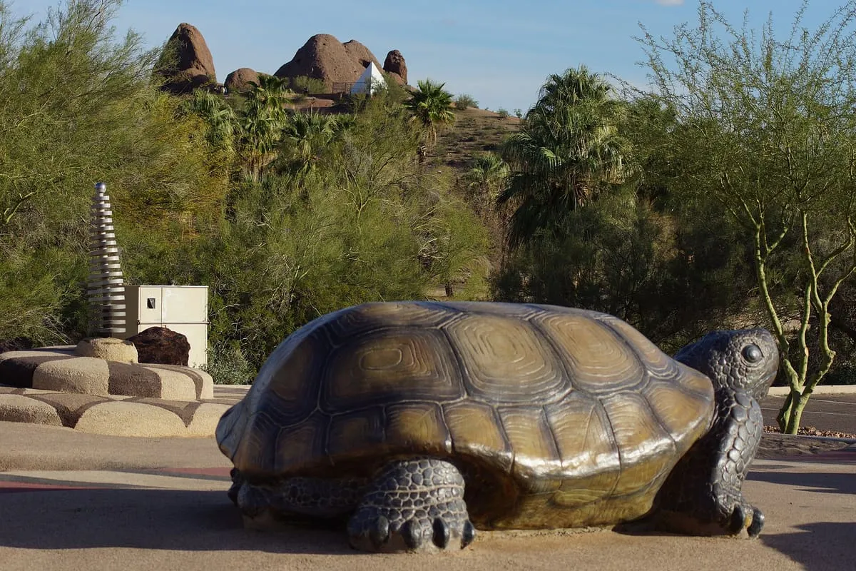
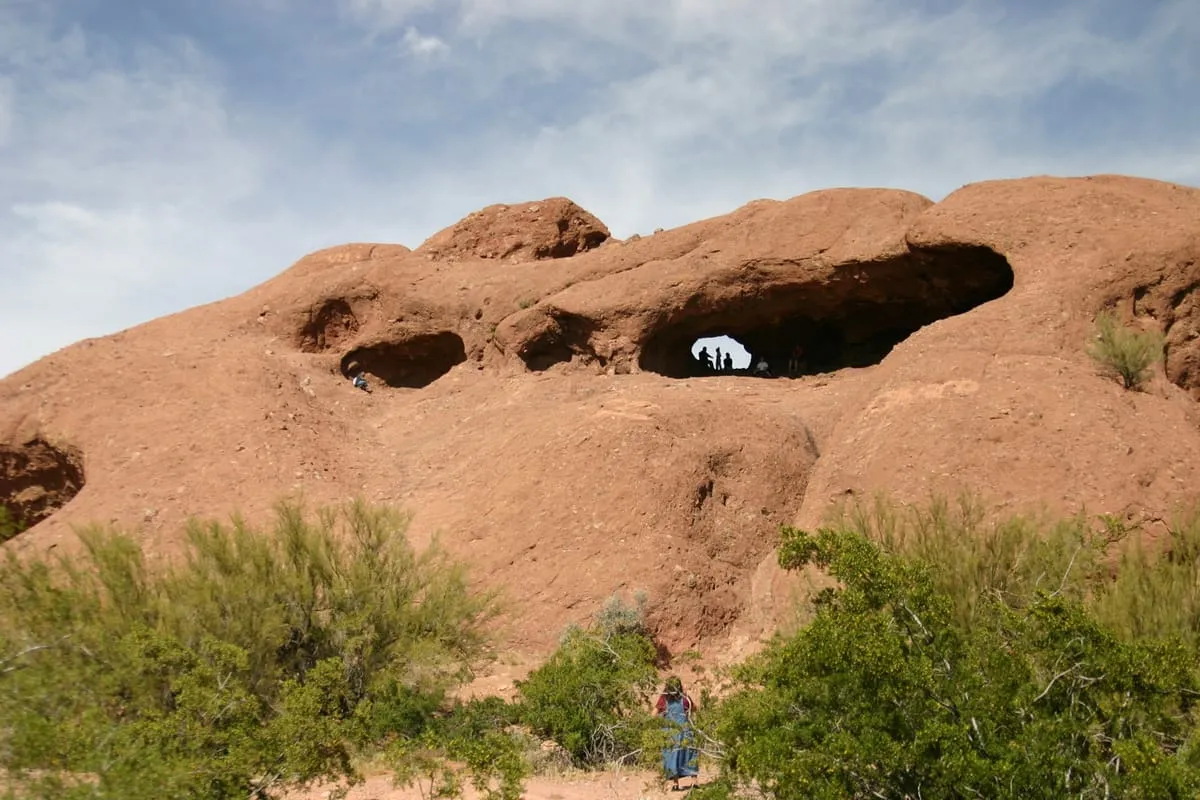
A natural geological formation in Papago Park, the municipal park shared by the cities of Phoenix and Tempe, Arizona.
60 Score 48.9 out of 100 48.9
Natural Landmark
An extinct stratovolcano of 11,409 feet in eastern Arizona, the highest point in Apache County and among the most sacred to the Apache.
61 Score 48.8 out of 100 48.8
Natural Landmark
A low-lying section of the Sonoran Desert receiving under 8 inches of rain a year, among the harshest deserts in North America.
62 Score 48.7 out of 100 48.7
Natural Landmark
A 7,646-foot butte in the Grand Canyon, named by Clarence Dutton and searched in 1937 for species isolated from the plateau.
63 Score 48.4 out of 100 48.4
Natural Landmark
A 1,000-foot rock spire in the Superstition Mountains, tied to the legend of the Lost Dutchman's Gold Mine and visible for many miles.
64 Score 48.3 out of 100 48.3
Natural Landmark
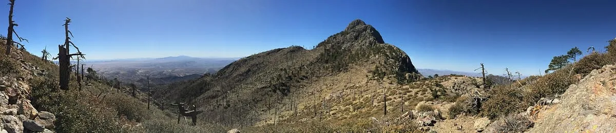
A range immediately west of Tucson, one of four surrounding the Tucson Basin, with Wasson Peak as its high point.
65 Score 48.0 out of 100 48.0
Natural Landmark
A range in south-eastern Arizona rising to 9,466 feet at Miller Peak, divided between the Coronado National Forest and Fort Huachuca.
66 Score 47.9 out of 100 47.9
Natural Landmark
A reservoir on the Verde River north-east of Phoenix, built between 1936 and 1939 and the first constructed on that river.
67 Score 47.9 out of 100 47.9
Natural Landmark
A dormant lava dome rising to 9,301 feet above Flagstaff, crossed by Coconino National Forest trails including the Elden Lookout Trail.
68 Score 47.6 out of 100 47.6
Natural Landmark
A 6,547-foot sandstone summit on Navajo Nation land north of Kayenta, held sacred as a spindle left by the Holy People.
69 Score 47.6 out of 100 47.6
Natural Landmark
A cinder cone 25 miles north of Flagstaff with a lava flow running 4.3 miles north, used by astronauts to train for moonwalking.
70 Score 47.4 out of 100 47.4
Natural Landmark
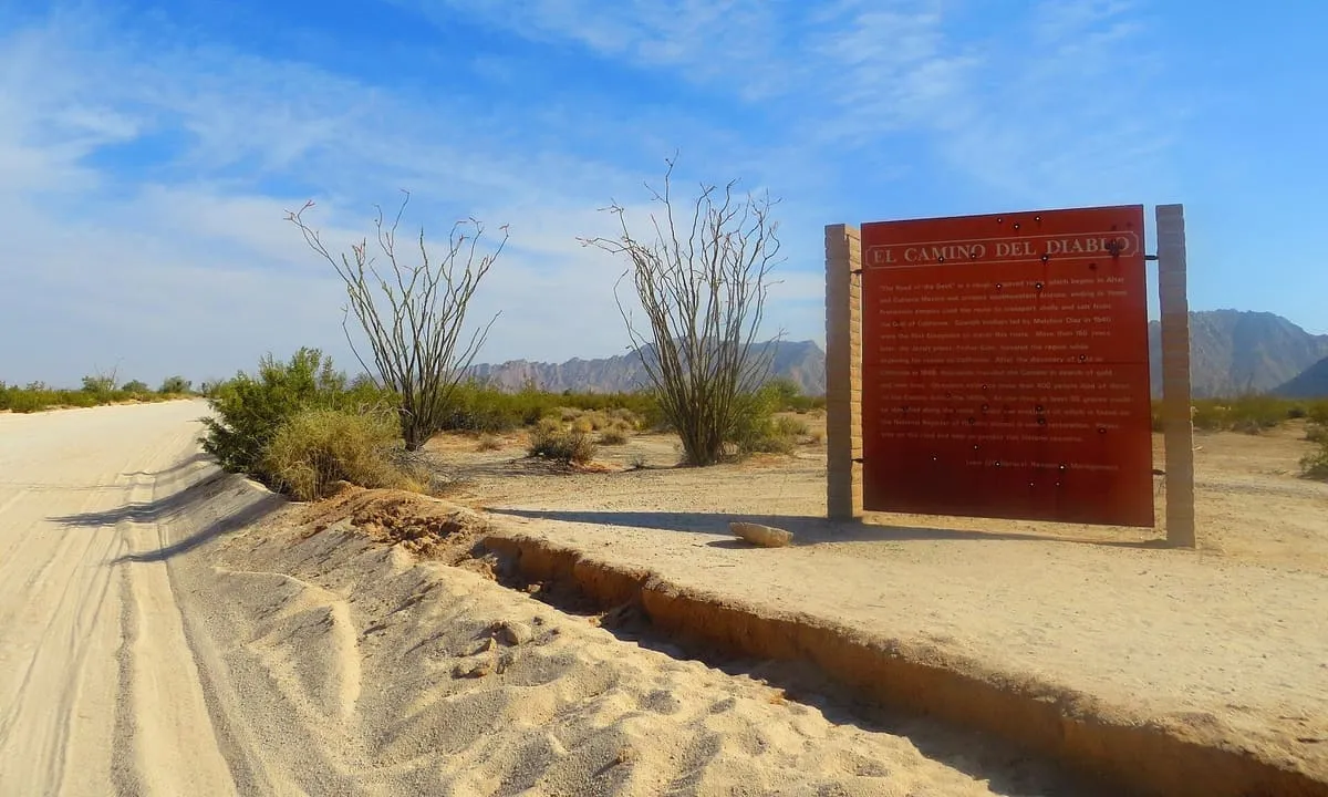
A 250-mile historic road across the Sonoran Desert in Pima and Yuma counties, listed on the National Register in 1978.
71 Score 47.3 out of 100 47.3
Natural Landmark
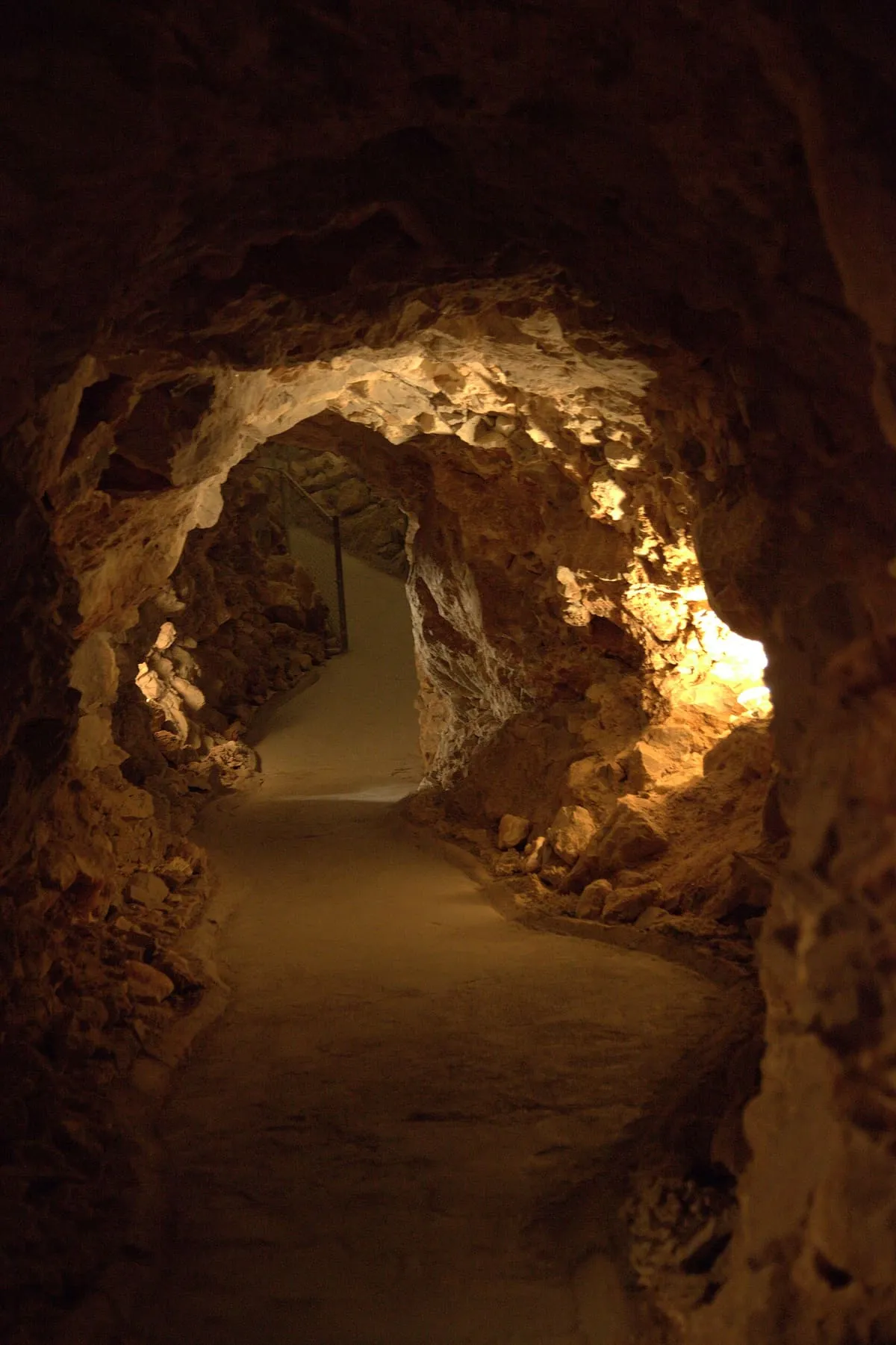
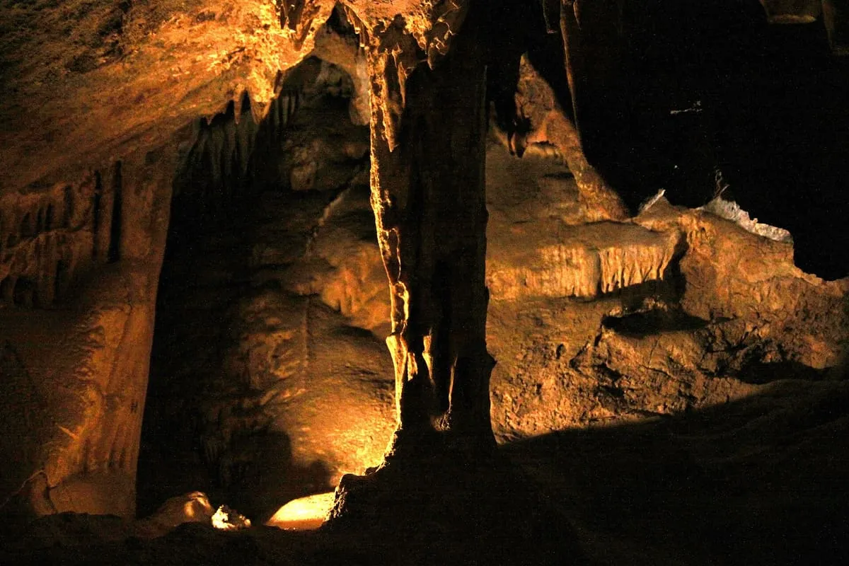
A dry cave system 210 feet below ground near Peach Springs, among the largest of its kind in the United States.
72 Score 47.2 out of 100 47.2
Natural Landmark
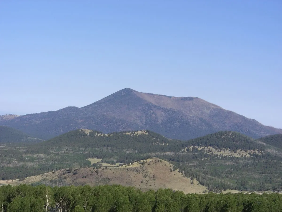
A 10,425-foot lava dome in the San Francisco volcanic field north of Flagstaff, carrying a fire lookout staffed since the early 1900s.
73 Score 47.0 out of 100 47.0
Natural Landmark
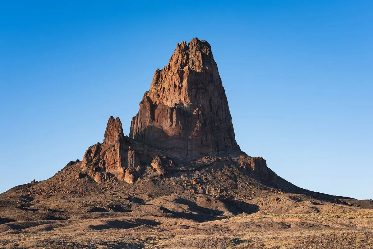
An eroded volcanic plug rising more than 1,500 feet south of Monument Valley, held sacred by the Navajo and visible from U.S. Route 163.
74 Score 47.0 out of 100 47.0
Natural Landmark
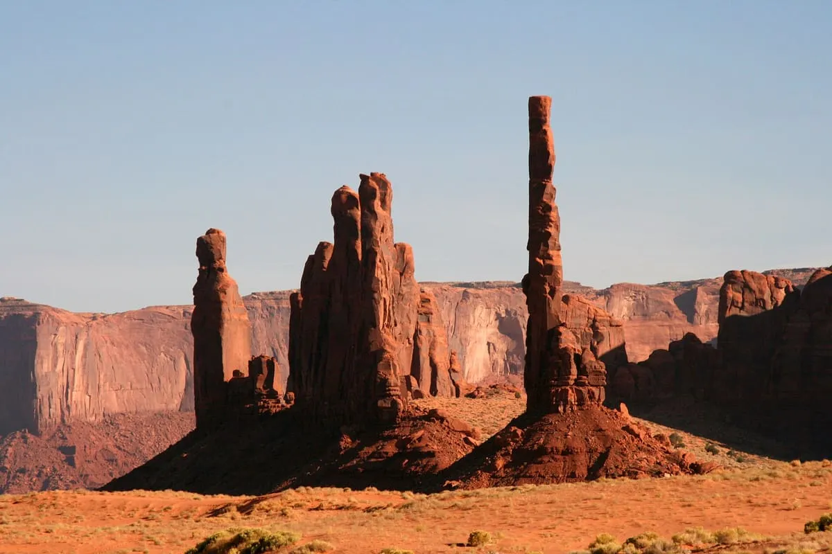
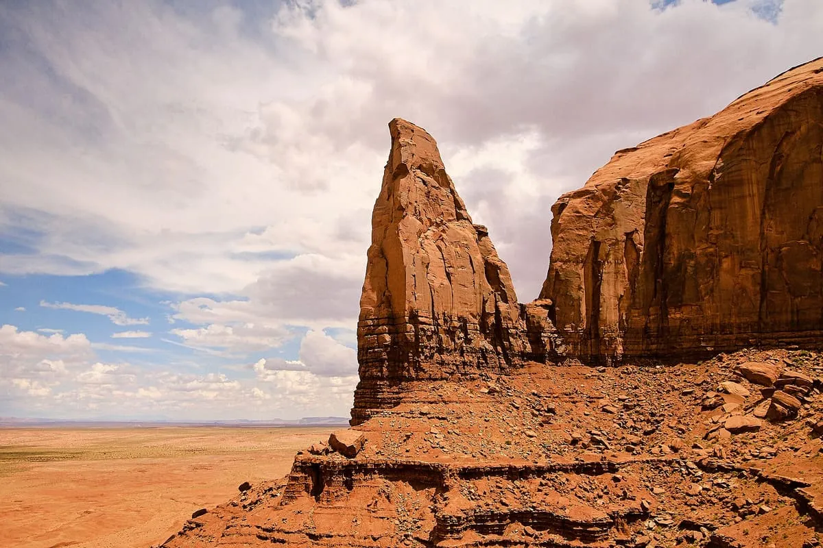
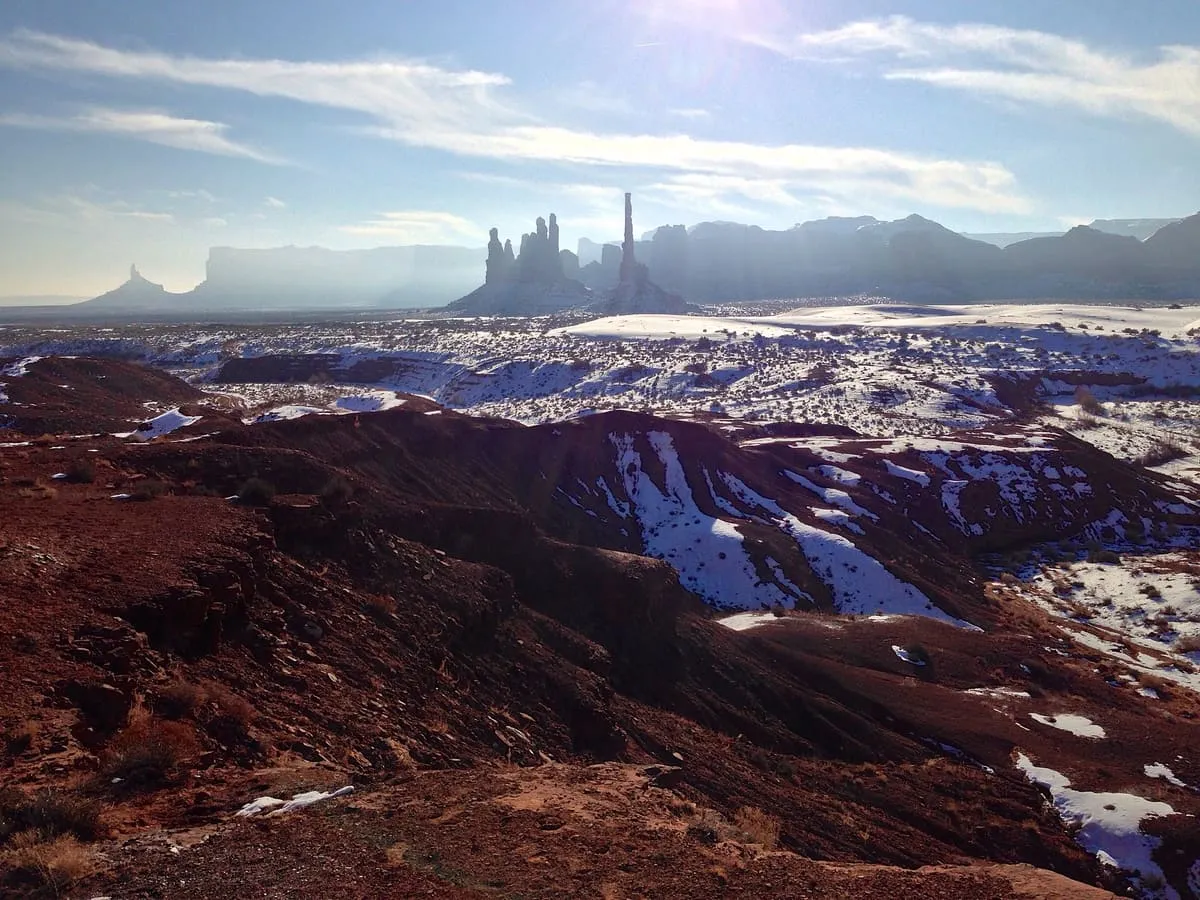
A slender rock spire in Monument Valley, the eroded remnant of a butte, standing beside the spires the Navajo call Yei Bi Chei.
75 Score 46.9 out of 100 46.9
Natural Landmark
A 6,370-foot mesa at the south-eastern edge of Monument Valley, reached only with a Navajo guide by way of the dunes near Kayenta.
76 Score 46.7 out of 100 46.7
Natural Landmark
The smallest designated wilderness in Arizona, 2,065 acres around Baboquivari Peak, a technical summit sacred to the Tohono O'odham.
77 Score 46.7 out of 100 46.7
Natural Landmark
A spring in the Whetstone Mountains where Wyatt Earp killed William "Curly Bill" Brocius in March 1882, later mapped as Mescal Springs.
78 Score 46.6 out of 100 46.6
Natural Landmark
A 5,110-foot pass between the Dos Cabezas and Chiricahua Mountains east of Willcox, known in Spanish as Puerto del Dado.
79 Score 46.6 out of 100 46.6
Natural Landmark
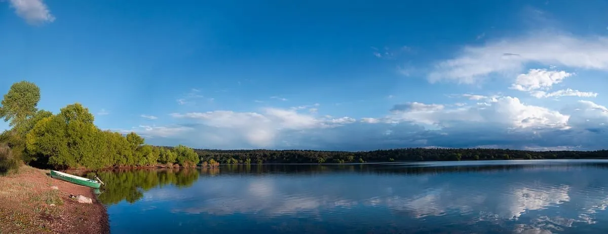
A trout reservoir in the White Mountains of Apache County, managed by the Apache-Sitgreaves National Forests and frozen over each winter.
80 Score 46.6 out of 100 46.6
Natural Landmark
A 9,456-foot peak in the Santa Rita Mountains within the Coronado National Forest, named for the miner William Wrightson.
81 Score 46.6 out of 100 46.6
Natural Landmark
A 16,000-acre municipal park in Phoenix, the largest in the United States, with 51 miles of trails and a road up to Dobbins Lookout.
82 Score 46.4 out of 100 46.4
Natural Landmark
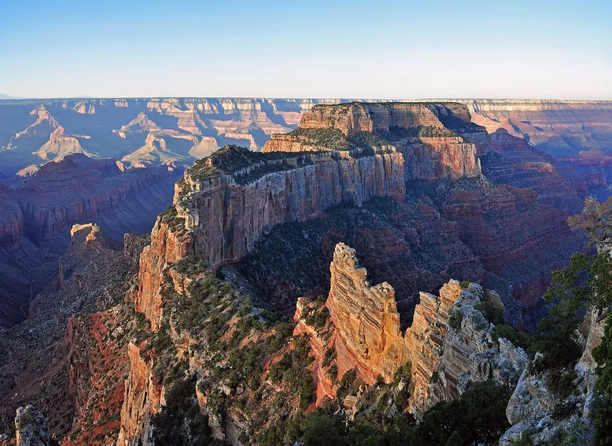
A 7,721-foot Grand Canyon summit near Cape Royal on the North Rim, rising 5,200 feet above the Colorado and named for the god Wotan.
83 Score 46.3 out of 100 46.3
Natural Landmark
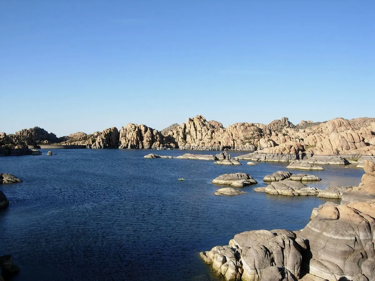
A reservoir among the Granite Dells at Prescott, dammed in the early 1900s and bought by the city in 1997 as recreational land.
84 Score 46.1 out of 100 46.1
Natural Landmark
A mountain range in central Arizona, formerly the Silver Mountain Range, renamed after the brothers Isaac and William D. Bradshaw.
85 Score 45.9 out of 100 45.9
Natural Landmark
A 300-acre lake at 8,200 feet on the White Mountain Apache Reservation, extended as a reservoir and fished for trout under tribal licence.
86 Score 45.8 out of 100 45.8
Natural Landmark
A former bat guano mine in a natural cave in the western Grand Canyon, 800 feet above Lake Mead at river mile 266.
87 Score 45.8 out of 100 45.8
Natural Landmark
A range east of Kingman rising to 8,417 feet, whose upper slopes carry Madrean sky island habitats above the Mojave Desert.
88 Score 45.7 out of 100 45.7
Natural Landmark
A mountain range in south Phoenix, most of it managed by the city as South Mountain Park, with part in the Gila River Indian Community.
89 Score 45.6 out of 100 45.6
Natural Landmark
A 112,500-acre wilderness of broad plateaus, tall escarpments and deep canyons on the Colorado Plateau, designated in 1984.
90 Score 45.5 out of 100 45.5
Natural Landmark
A shallow intermittent lake in Pleasant Valley, Arizona's largest natural lake when full and a remnant marsh when it is not.
91 Score 45.5 out of 100 45.5
Natural Landmark
A mesa in the Tonto National Forest east of Phoenix, sacred to the San Carlos Apache and listed on the National Register.
92 Score 45.5 out of 100 45.5
Natural Landmark
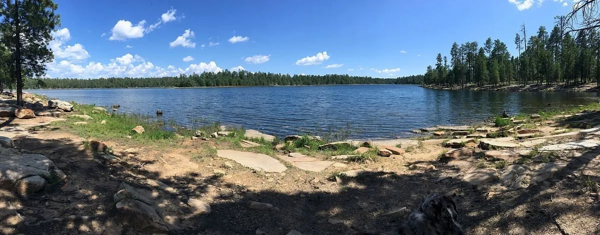
A 55-acre reservoir on the Mogollon Rim east of Payson, the most developed of the Rim Lakes and stocked with trout.
93 Score 45.3 out of 100 45.3
Natural Landmark
A mountain in the Prescott National Forest between Cottonwood and Prescott, giving views over the Verde Valley.
94 Score 45.3 out of 100 45.3
Natural Landmark
A mountain range south-west of Phoenix, largely within the Gila River Indian Reservation, with 14,400 acres held as wilderness.
95 Score 45.1 out of 100 45.1
Natural Landmark
The valley on the Salt River that holds the Phoenix metropolitan area, better known since the 1930s as the Valley of the Sun.
96 Score 45.0 out of 100 45.0
Natural Landmark
A Madrean sky island range east of Tucson, rising to Mica Mountain at 8,664 feet and named for its cornered shape.
97 Score 44.8 out of 100 44.8
Natural Landmark
A butte in Monument Valley Navajo Tribal Park, south of the Mitten Buttes and named for the miner Jack Merrick.
98 Score 44.7 out of 100 44.7
Natural Landmark
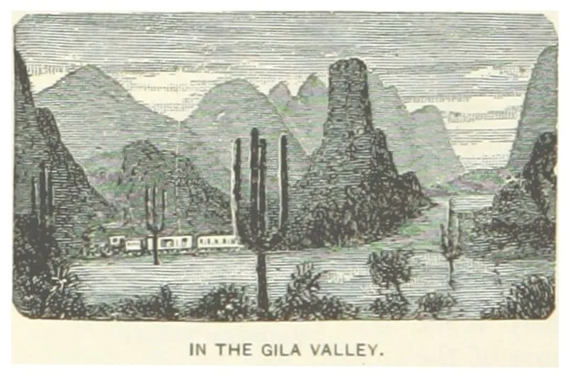
The multi-sectioned valley of the Gila River, running west across Arizona from New Mexico to the Colorado River.
99 Score 44.6 out of 100 44.6
Natural Landmark
A paved 13-mile trail along the Grand Canyon's South Rim, from the South Kaibab Trailhead west to Hermit's Rest.
100 Score 44.6 out of 100 44.6
Natural Landmark
A range in south-eastern Arizona named in 1859 for its novaculite, a fine-grained rock used to sharpen tools.
101 Score 44.6 out of 100 44.6
Natural Landmark
A rugged range on the western edge of the Phoenix area, rising to Barry Goldwater Peak at 4,083 feet and named for its granite tanks.
102 Score 44.5 out of 100 44.5
Natural Landmark
A dry karst cave near Vail with 3.9 miles of mapped passages, used by Hohokam, Sobaipuri and Apache people.
103 Score 44.4 out of 100 44.4
Natural Landmark
A range north-east of Phoenix rising to Mazatzal Peak at 7,903 feet, with 252,500 acres protected as wilderness.
104 Score 44.3 out of 100 44.3
Natural Landmark
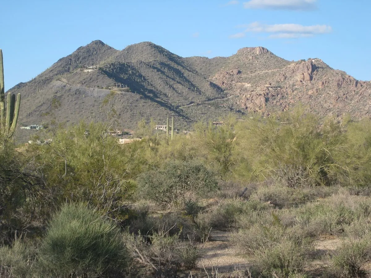
A range twenty miles north-east of downtown Phoenix, rising to East End at 4,069 feet and preserved by Scottsdale.
105 Score 44.3 out of 100 44.3
Natural Landmark
The Grand Canyon's North Rim trail, descending steeply to Roaring Springs and on to the Colorado River.
106 Score 44.0 out of 100 44.0
Natural Landmark
The highest point of the Chiricahua Mountains and of Cochise County, at 9,773 feet, with southernmost Engelmann spruce.
107 Score 43.8 out of 100 43.8
Natural Landmark
The drainage basin of Tonto Creek in central Arizona, running south-west of the Mogollon Rim to Theodore Roosevelt Lake.
108 Score 43.7 out of 100 43.7
Natural Landmark
A reservoir in the Canelo Hills of Cochise County, 28 miles south-west of Sierra Vista and 5 miles from Mexico.
109 Score 43.5 out of 100 43.5
Natural Landmark
A 55-acre reservoir in the Bradshaw Mountains east of Prescott, formed by a dam on Lynx Creek in 1963 and stocked for fishing.
110 Score 43.0 out of 100 43.0
Natural Landmark
A former cienega, or area of springs, 13 miles up the San Simon River from San Simon Station in Cochise County.
111 Score 43.0 out of 100 43.0
Natural Landmark
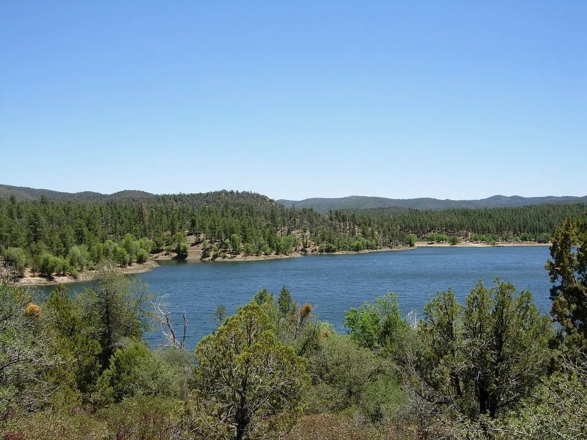
A canyon-bound cold-water lake on the Mogollon Rim, 23 miles east of Payson, and one of the Rim Lakes in the Apache-Sitgreaves forests.
112 Score 42.9 out of 100 42.9
Natural Landmark
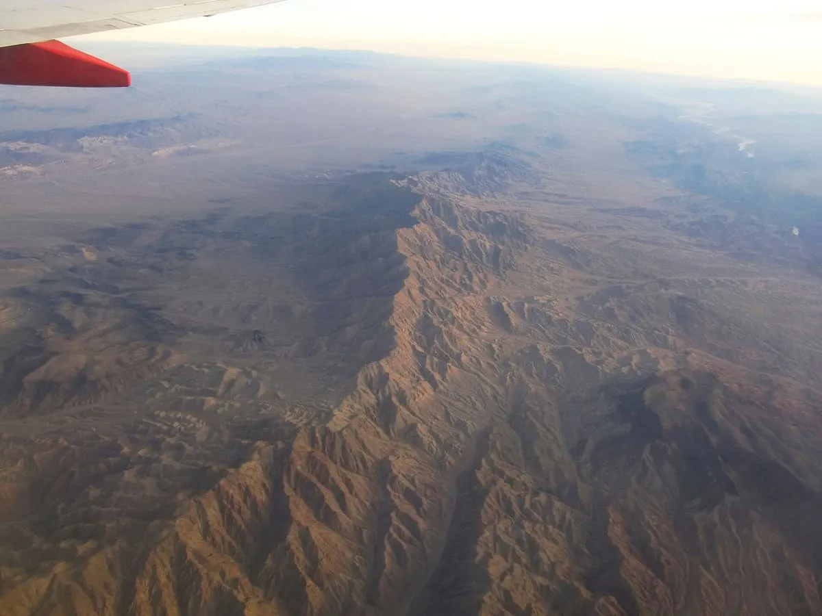
A 75-mile range in north-western Arizona along the Colorado River below Hoover Dam, holding three wilderness areas and the mining site of Oatman.
113 Score 42.6 out of 100 42.6
Natural Landmark
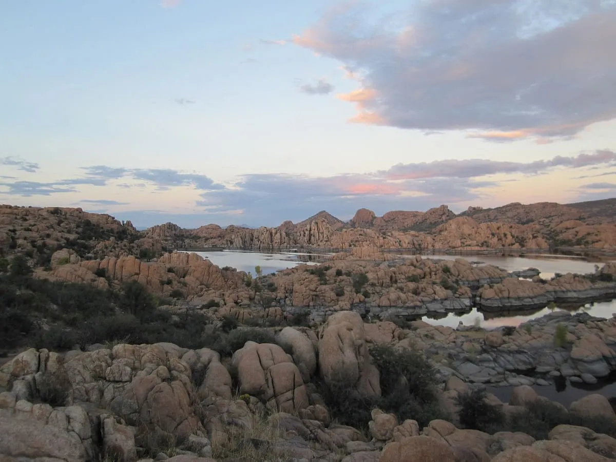
Exposed granite bedrock and boulders north of Prescott, eroded into a rippled form and holding Watson and Willow lakes.
114 Score 42.6 out of 100 42.6
Natural Landmark
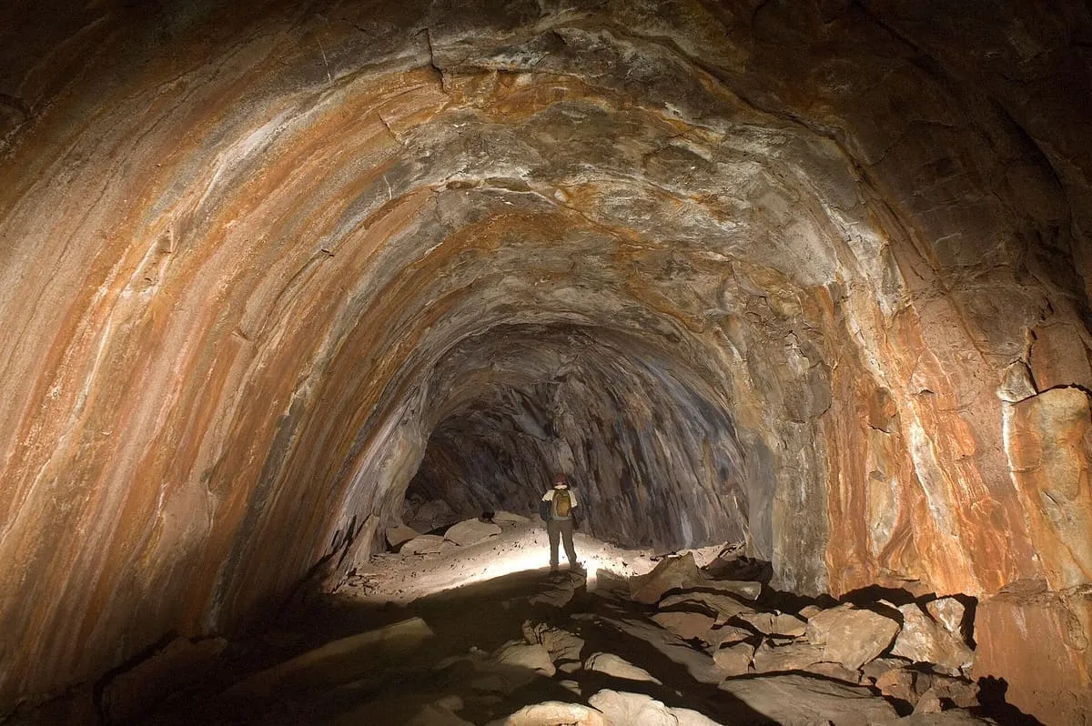
A 0.75-mile lava tube west of Flagstaff, the longest known in Arizona, formed by an eruption 650,000 to 700,000 years ago.
115 Score 42.6 out of 100 42.6
Natural Landmark
The only viewpoint in Grand Canyon National Park with the Colorado River vertically below, 3,000 feet down on the remote North Rim.
116 Score 42.4 out of 100 42.4
Natural Landmark
A refuge of over 665,400 acres north-east of Yuma, established in 1939 for desert bighorn sheep and holding the Kofa Wilderness.
117 Score 42.4 out of 100 42.4
Natural Landmark
A 3,169-foot granite summit in Scottsdale, inside a 150-acre city park crossed by a 1.75-mile trail; the summit requires climbing.
118 Score 42.1 out of 100 42.1
Natural Landmark
Arizona's second-highest mountain at 12,360 feet, north of Flagstaff, open to climbers only in winter when it is under snow.
119 Score 42.0 out of 100 42.0
Natural Landmark
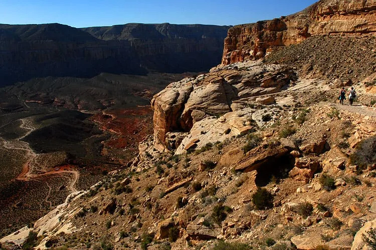
The main trail to Supai and Havasu Falls; the alternative routes are unmaintained and require special permission to use.
120 Score 42.0 out of 100 42.0
Natural Landmark
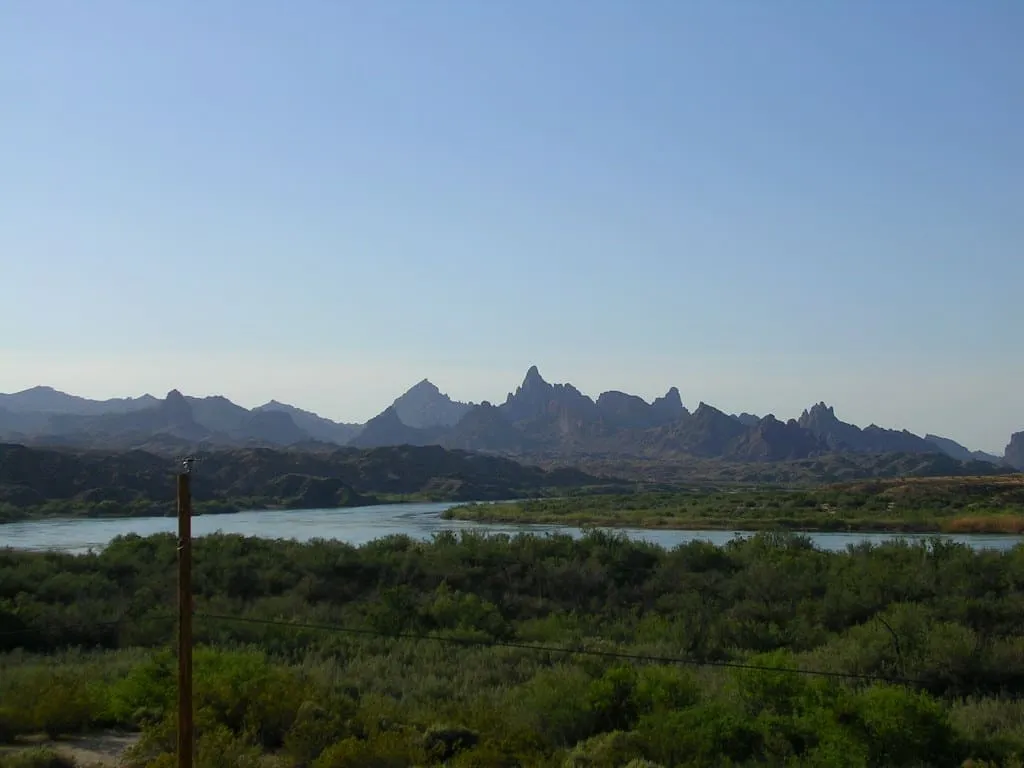
A group of rock pinnacles beside Topock Gorge and the Colorado River, rising from 1,207 to over 1,600 feet in the Mojave Mountains.
121 Score 41.9 out of 100 41.9
Natural Landmark
A seasonal stream running from Nevada to the Virgin River in Arizona, holding Utah's lowest point at 2,179 feet and desert tortoise habitat.
122 Score 41.9 out of 100 41.9
Natural Landmark
A valley in the eastern half of Cochise County, the large flatland west of the Chiricahua and Dos Cabezas mountains.
123 Score 41.8 out of 100 41.8
Natural Landmark
The third-highest mountain peak in Arizona, in the White Mountains, where the state's last grizzly bear was killed in 1936.
124 Score 41.7 out of 100 41.7
Natural Landmark
A cave in the Salt River Canyon Wilderness, site of the 1872 massacre of Yavapai people and listed on the National Register in 1991.
125 Score 41.6 out of 100 41.6
Natural Landmark
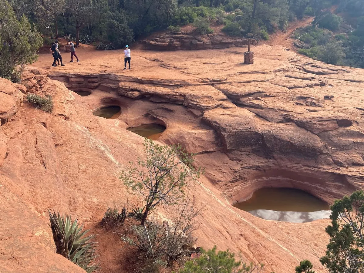
Sandstone tinajas on the Soldier Pass Trail near Sedona, fed by a seasonal stream and named by local Jeep tour guides.
126 Score 41.4 out of 100 41.4
Natural Landmark
A 7,628-foot mountain in the Prescott National Forest, with a sheer 500-foot granite cliff on its south-west face used for rock climbing.
127 Score 41.3 out of 100 41.3
Natural Landmark
A 3,172-foot mountain pass on the crest of the Tucson Mountains, west of Tucson, with overlooks lining the road through it.
128 Score 41.2 out of 100 41.2
Natural Landmark
A reservoir on Banning Creek south of Prescott, maintained by the city and named after its longtime mayor Morris Goldwater.
129 Score 41.1 out of 100 41.1
Natural Landmark
A 9,470-foot summit in the Huachuca Mountains south of Sierra Vista, the southernmost land above 9,000 feet in the continental United States.
130 Score 41.1 out of 100 41.1
Natural Landmark
A dark red sandstone unit 800 to 1,000 feet thick near Sedona, lying between the Coconino Sandstone and the Hermit Formation.
131 Score 41.0 out of 100 41.0
Natural Landmark
An 8,668-foot peak east of Tucson, the highest point in the Rincon Mountains and in Saguaro National Park.
132 Score 41.0 out of 100 41.0
Natural Landmark
A 1.25 million-acre national forest around Prescott, divided into the Chino Valley, Bradshaw and Verde ranger districts.
133 Score 41.0 out of 100 41.0
Natural Landmark
An 860-acre ecological reserve and National Historic Landmark west of downtown Tucson, established by the Carnegie Institution in 1903.
134 Score 40.8 out of 100 40.8
Natural Landmark
A 2,832-foot mountain north of Mesa, commonly called Red Mountain, closed to visitors since the early 1980s after vandalism.
135 Score 40.8 out of 100 40.8
Natural Landmark
A hiking trail on the South Rim of the Grand Canyon, in Grand Canyon National Park, northern Arizona.
136 Score 40.6 out of 100 40.6
Natural Landmark
A mountain range north-west of Tucson rising to 4,696 feet, largely protected within Tortolita Mountain Park since 1986.
137 Score 40.4 out of 100 40.4
Natural Landmark
An 860,010-acre refuge along the Mexican border, established in 1939 for desert bighorn sheep and the third largest in the lower 48 states.
138 Score 40.4 out of 100 40.4
Natural Landmark
A limestone cave with about a mile of mapped passages in the Santa Catalina Mountains south of Oracle, visited by some 23,000 people a year.
139 Score 40.4 out of 100 40.4
Natural Landmark
A 116-acre man-made lake near Pinetop-Lakeside, created in 1903 when settlers dammed Walnut Creek for irrigation.
140 Score 40.3 out of 100 40.3
Natural Landmark
A peak in the Santa Catalina Mountains, home to Catalina Station and the University of Arizona's 61-inch Kuiper Telescope.
141 Score 40.3 out of 100 40.3
Natural Landmark
A field of monogenetic volcanoes on the Grand Canyon's north rim, whose lava flows repeatedly dammed the Colorado River.
142 Score 40.2 out of 100 40.2
Natural Landmark
A reservoir near Prescott, within the Prescott National Forest and adjacent to the Granite Mountain Wilderness area.
143 Score 40.1 out of 100 40.1
Natural Landmark
A group of thermal mineral springs on the western bank of the Verde River near Camp Verde, beside the ruins of a former resort.
144 Score 40.0 out of 100 40.0
Natural Landmark
A South Rim viewpoint at 7,119 feet, named after Stephen Tyng Mather and looking north across Granite Gorge up Bright Angel Canyon.
145 Score 40.0 out of 100 40.0
Natural Landmark
A mountain range 14 miles long west of Prescott, with the 6,514-foot volcanic plug of Thumb Butte on the city's western edge.
146 Score 39.9 out of 100 39.9
Natural Landmark
A lava dome volcano in the Kaibab National Forest south of Williams, forming part of the San Francisco volcanic field.
147 Score 39.9 out of 100 39.9
Natural Landmark
A rugged sky island range in south-eastern Arizona, taking in the Galiuro and Aravaipa Canyon wilderness areas.
148 Score 39.9 out of 100 39.9
Natural Landmark
A range in north-eastern Cochise County, part of the Madrean Sky Islands, lying east of the Willcox Playa and San Simon Valley.
149 Score 39.9 out of 100 39.9
Natural Landmark
A park of 29,271 acres in west-central Maricopa County, the largest regional park in the county, established in the 1960s.
150 Score 39.8 out of 100 39.8
Natural Landmark
The highest range in south-western Arizona, rising to 5,681 feet at Harquahala Peak, whose summit held a Smithsonian observatory from 1920.
151 Score 39.8 out of 100 39.8
Natural Landmark
A cliff-sided mesa in Lake Pleasant Regional Park, topped by the ruins of a prehistoric Hohokam village.
152 Score 39.7 out of 100 39.7
Natural Landmark
A fault-blocked range 26 miles long east of Yuma, in the Sonoran Desert, rising to 3,156 feet at Sheep Peak.
153 Score 39.6 out of 100 39.6
Natural Landmark
A mountain between Carefree and Cave Creek in Maricopa County, with a hiking trail running to the peak.
154 Score 39.6 out of 100 39.6
Natural Landmark
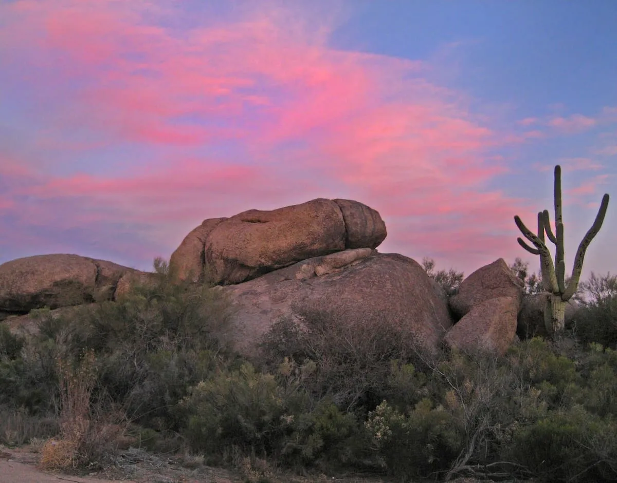
A Precambrian granite formation at the eastern foot of Black Mountain in Carefree, shaped by spheroidal weathering.
155 Score 38.5 out of 100 38.5
Natural Landmark
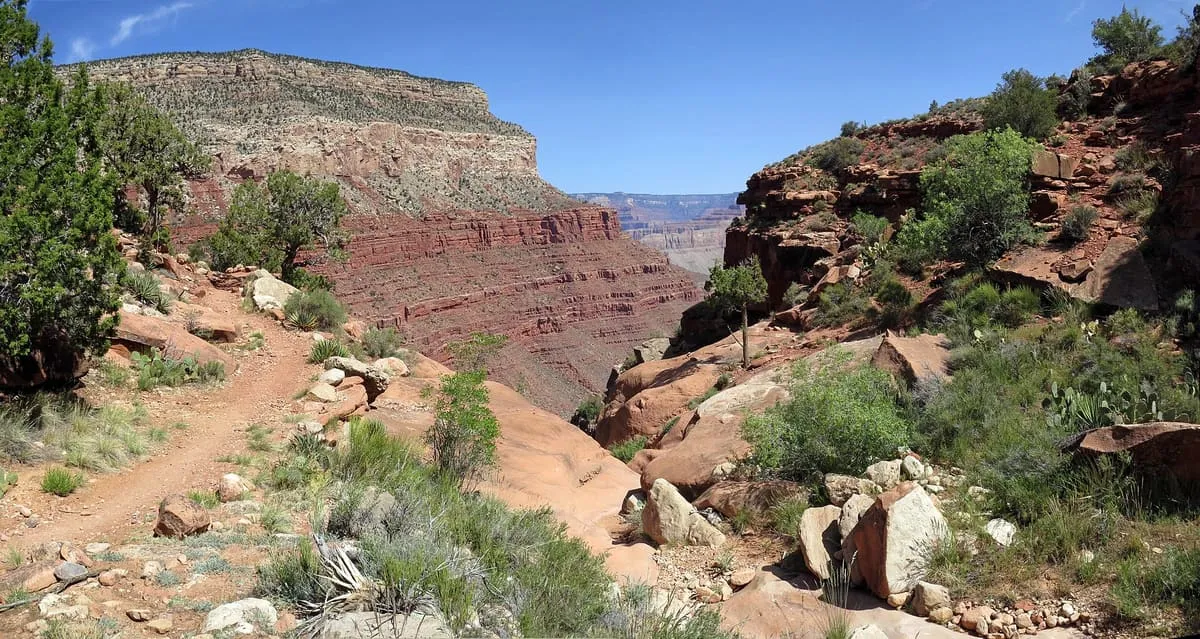
A steep, marginally maintained trail in Grand Canyon National Park, descending from the South Rim to the Colorado River past fossilised reptile tracks.
156 Score 37.4 out of 100 37.4
Natural Landmark
A 117,107-acre US Fish and Wildlife Service refuge in Pima County, created for the reintroduction of masked bobwhite quail and pronghorn.
157 Score 37.1 out of 100 37.1
Natural Landmark
A 57,000-acre BLM conservation area in Cochise County protecting 40 miles of the upper San Pedro River, designated by Congress in 1988.
158 Score 36.0 out of 100 36.0
Natural Landmark
A 260-acre Sonoita-area wetland reserve protecting the rare Canelo ladies' tresses orchid, a National Natural Landmark since 1974.
159 Score 36.0 out of 100 36.0
Natural Landmark
A half-mile solutional cave in Permian limestone in the Santa Rita Mountains, designated a National Natural Landmark in 1974.
160 Score 33.5 out of 100 33.5
Natural Landmark
A 6,586-foot summit in Navajo County, named after a miner who died working the area alongside a partner named Merrick.
161 Score 32.4 out of 100 32.4
Natural Landmark
An 1893 miners' trail on the Grand Canyon's South Rim, descending from Grandview Point to Horseshoe Mesa past surviving mining relics.
162 Score 31.6 out of 100 31.6
Natural Landmark
A 5,847-foot Monument Valley summit near John Ford's Point, with dirt roads passing it on three sides.
163 Score 31.6 out of 100 31.6
Natural Landmark
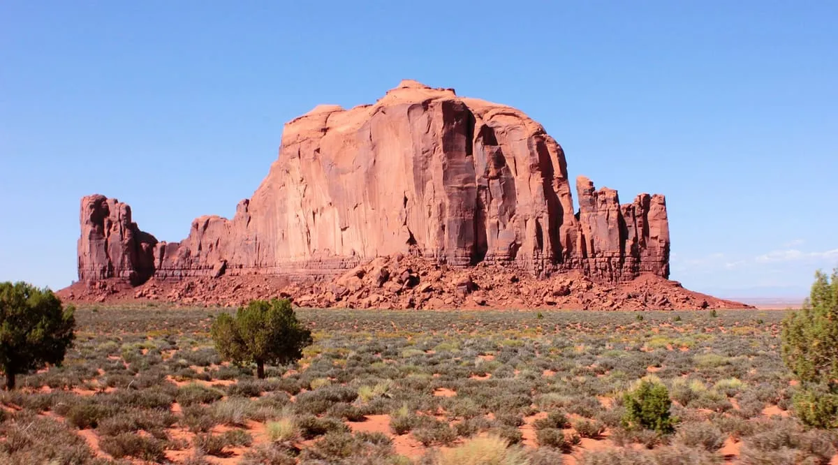
Cly Butte is a summit in Navajo County, Arizona, within Monument Valley, at an elevation of 5,820 feet.
164 Score 31.6 out of 100 31.6
Natural Landmark
A 5,981-foot Monument Valley butte, appearing as the largest formation visible north-east of John Ford's Point.
165 Score 31.6 out of 100 31.6
Natural Landmark
A 56,430-acre Coronado National Forest wilderness north of Tucson, created to protect Pusch Ridge's declining desert bighorn sheep.
166 Score 31.6 out of 100 31.6
Natural Landmark
A 5,985-foot spire in a remote corner of Monument Valley that lies beyond the reach of all-day valley tours.
167 Score 31.6 out of 100 31.6
Natural Landmark
An 8,700-acre Sonoran Desert preserve on the White Tank Mountains' southern edge, managed by Buckeye under a BLM lease.
168 Score 25.5 out of 100 25.5
Natural Landmark
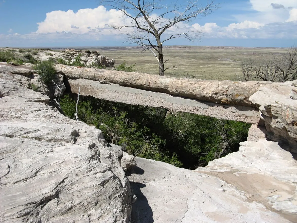
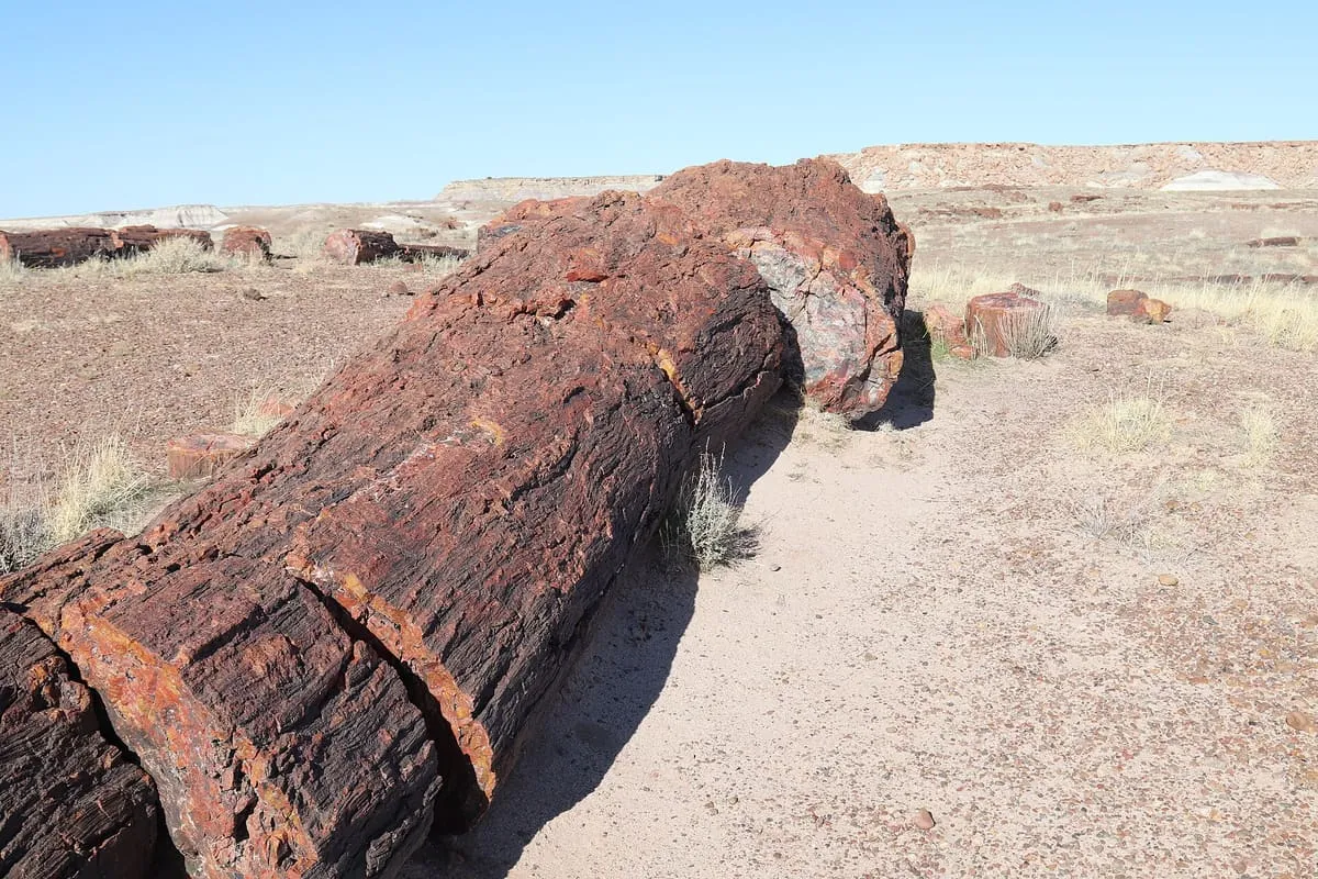
A petrified log spanning a gap between bluffs in Petrified Forest National Park, propped up by stone supports the park service added.
169 Score 25.5 out of 100 25.5
Natural Landmark
A Monument Valley viewpoint looking north across the valley toward the Mitten Buttes and other rock formations.
170 Score 25.5 out of 100 25.5
Natural Landmark
A Monument Valley rock arch named for its hogan-like shape, once a Navajo gathering place valued for its musical echo.
171 Score 25.5 out of 100 25.5
Natural Landmark
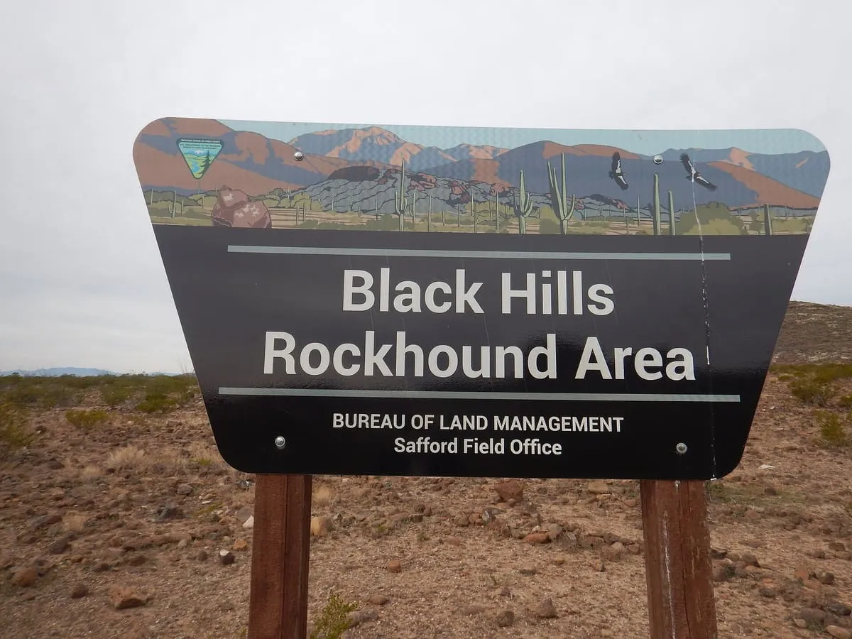
A BLM-managed rockhounding site near Safford where fire agate is the most common and most valuable gemstone found.
172 Score 25.5 out of 100 25.5
Natural Landmark
Blue Mesa, in Petrified Forest National Park, Arizona.
173 Score 25.5 out of 100 25.5
Natural Landmark
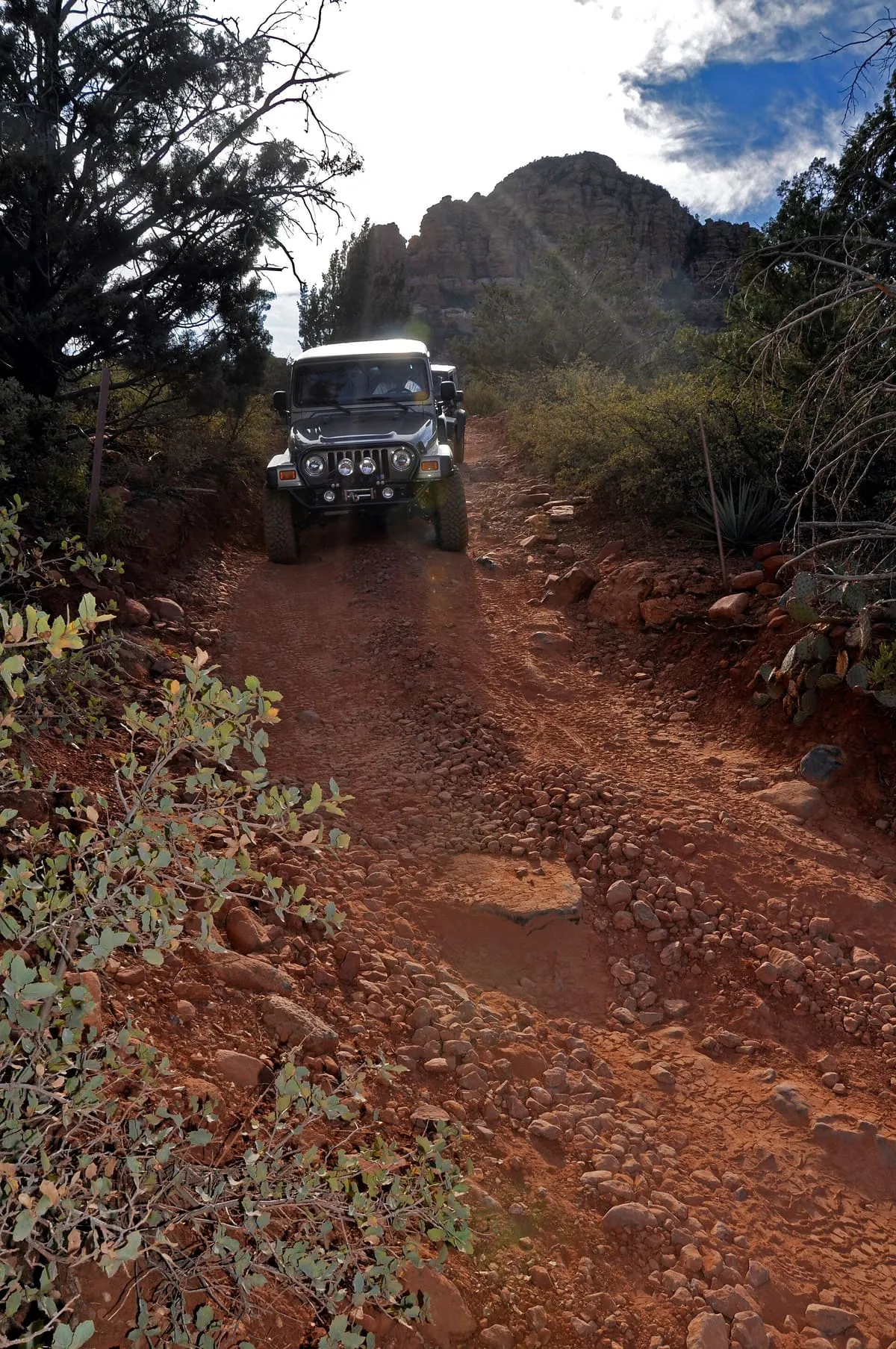
A 2-mile, cairn-marked Sedona trail to Chicken Point, passing Submarine Rock and shared with Pink Jeep tours and mountain bikers.
174 Score 25.5 out of 100 25.5
Natural Landmark
Cathedral Wash Trail, in Vermilion Cliffs National Monument, Arizona.
175 Score 25.5 out of 100 25.5
Natural Landmark
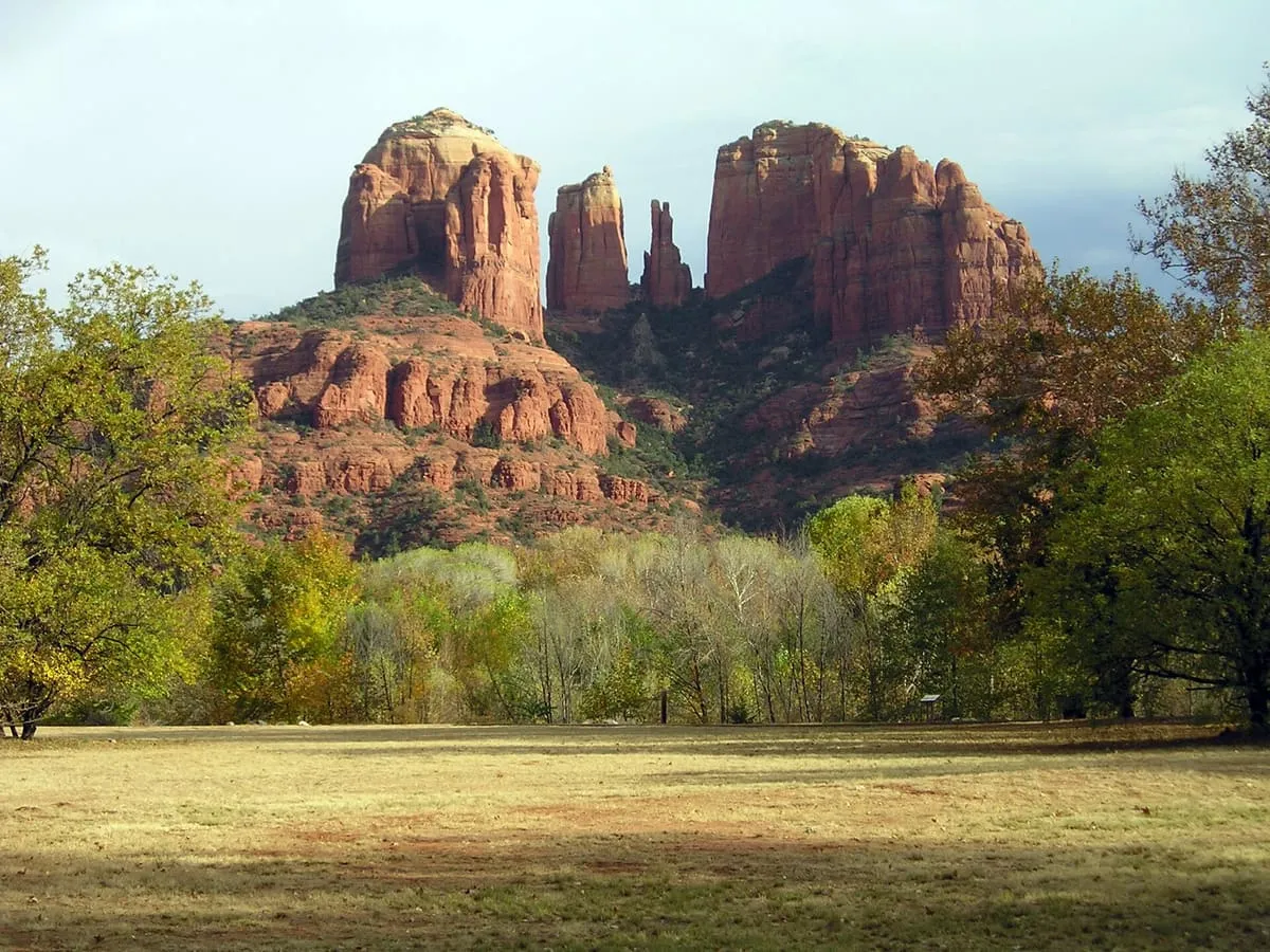
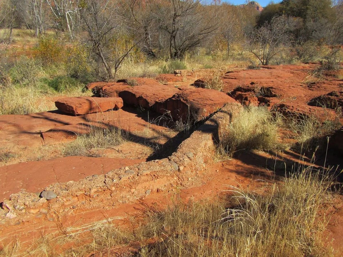
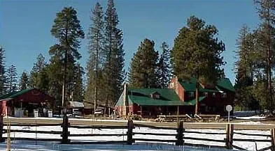
A Coconino National Forest day-use area on Oak Creek at Red Rock Crossing, where the water reflects Cathedral Rock — a view the Forest Service describes as one of the most photographed scenes in the Southwest. Paved paths run through picnic grounds to shallow water people wade and fish in, and a day-use fee applies. The site was a working cattle ranch; its buildings and waterwheel remain, and the ranch house is rented out by the Forest Service.
176 Score 25.5 out of 100 25.5
Natural Landmark
A small, square-shaped rock formation in eastern Monument Valley, visible north-east of Yei Bi Chei Point near the Sand Springs overlook.
177 Score 25.5 out of 100 25.5
Natural Landmark
A Sedona-area hiking trail leading to Devil's Bridge, described as the largest natural sandstone arch in the area.
178 Score 25.5 out of 100 25.5
Natural Landmark
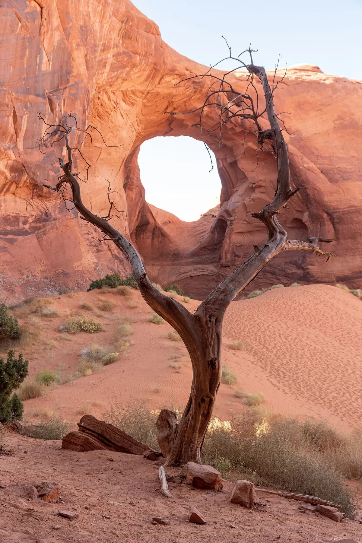
Ear of the Wind is a rock arch in Monument Valley, Navajo County, Arizona, standing directly beside a sand dune.
179 Score 25.5 out of 100 25.5
Natural Landmark
A Gila County mountain pass marked by a historical marker noting a U.S. Army march through it to California in 1846.
180 Score 25.5 out of 100 25.5
Natural Landmark
A 20,000-acre Maricopa County park near Goodyear with hiking trails, ball fields, a golf course, and a rodeo arena.
181 Score 25.5 out of 100 25.5
Natural Landmark
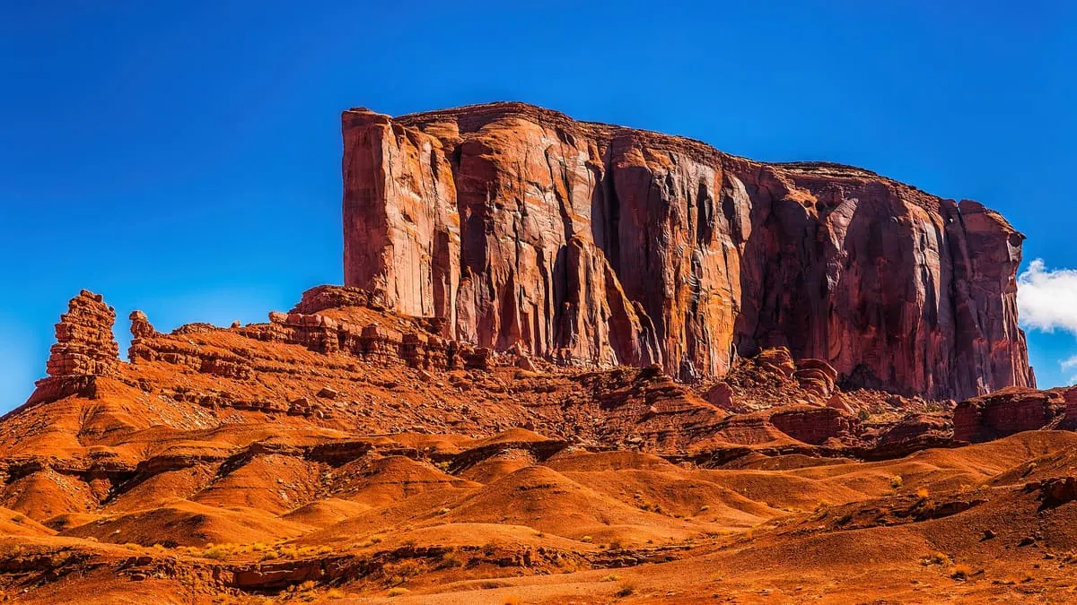
A Monument Valley butte north of Sleeping Dragon Butte and west of Yei Bi Chei, with a canyon cutting into its south-western side.
182 Score 25.5 out of 100 25.5
Natural Landmark
Giant Logs Trail, in Petrified Forest National Park, Arizona.
183 Score 25.5 out of 100 25.5
Natural Landmark
A cliffside swimming hole on Oak Creek about two miles north of Sedona, shaded and cool enough that the Forest Service recommends it as a respite from the summer heat. Picnic tables and vault toilets, no drinking water, and no camping — it is day-use only, and a fee applies. Allen's Bend trail leaves the car park, running north towards Casner Canyon and south towards Huckaby.
184 Score 25.5 out of 100 25.5
Natural Landmark
A steep Cochise County trail to San Pedro Valley views of the Huachuca and Dragoon Mountains, starting within Kartchner Caverns State Park.
185 Score 25.5 out of 100 25.5
Natural Landmark
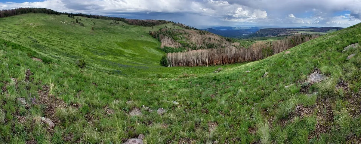
Hannagan Meadow, in Mogollon Rim, Arizona.
186 Score 25.5 out of 100 25.5
Natural Landmark
Hidden Bridge Arch is a rock formation in Monument Valley, Navajo County, Arizona, south of the formations known as Big Hogan and Sun's Eye.
187 Score 25.5 out of 100 25.5
Natural Landmark
A Mohave County park near Kingman with ten miles of trails, rental cabins, and group event areas, the largest holding 500 people.
188 Score 25.5 out of 100 25.5
Natural Landmark
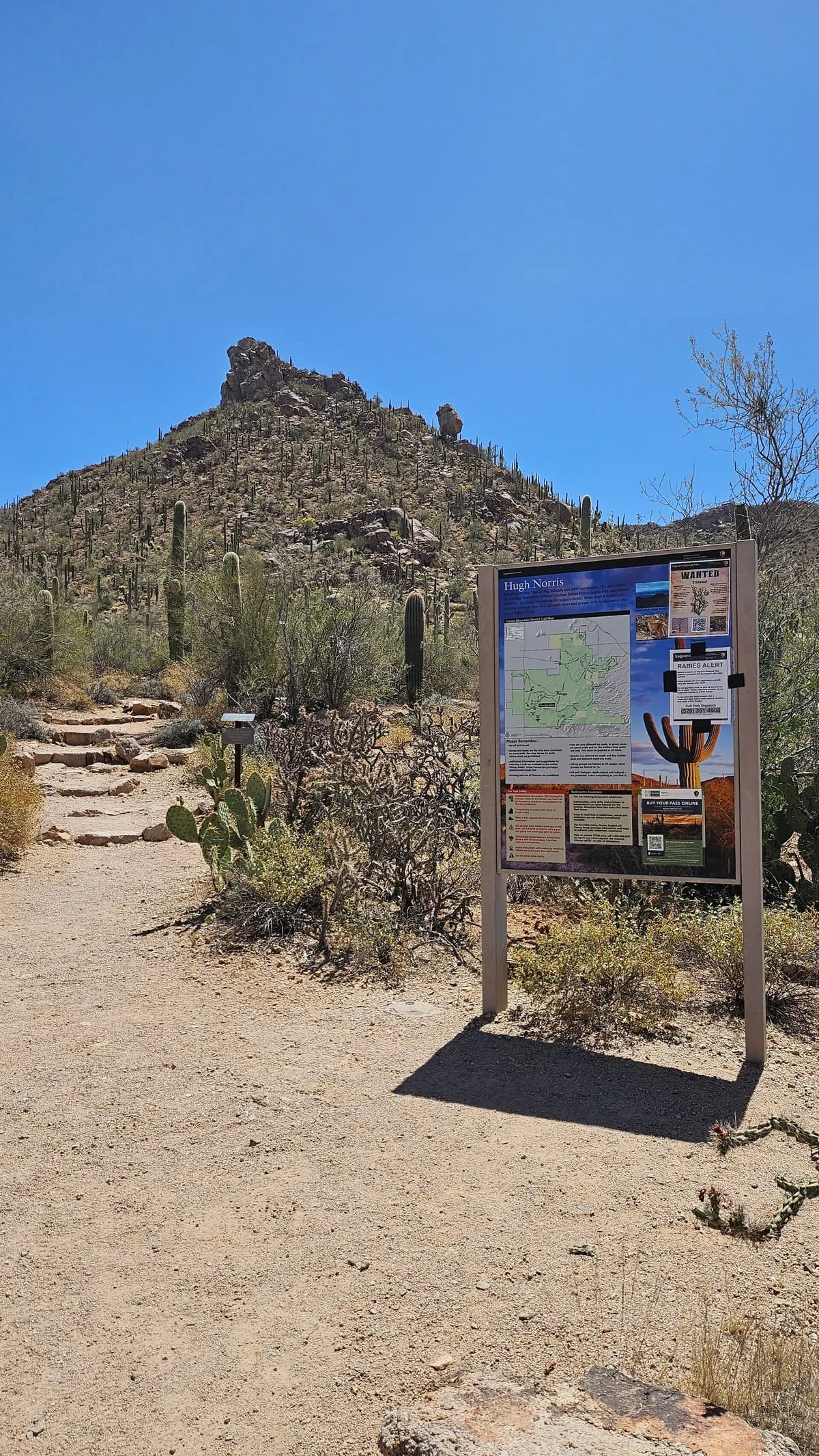
Hugh Norris Trail, in Saguaro National Park, Arizona.
189 Score 25.5 out of 100 25.5
Natural Landmark
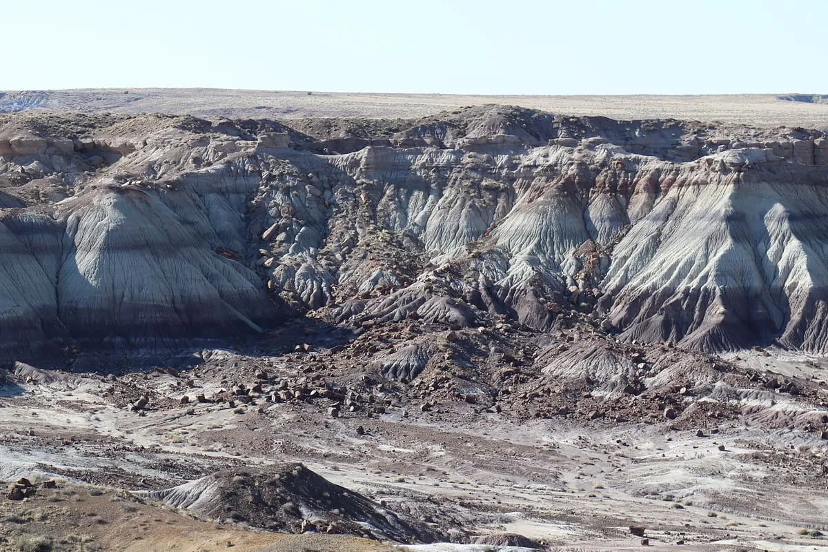
A Petrified Forest National Park overlook above badlands where erosion has exposed hundreds of petrified logs.
190 Score 25.5 out of 100 25.5
Natural Landmark
A Monument Valley overlook featured in several Western films, more developed than most of the park despite its rough dirt-road access.
191 Score 25.5 out of 100 25.5
Natural Landmark
John Wayne's Point, a Monument Valley overlook named for the actor, lies near Lookout Point but faces east-southeast rather than its direction.
192 Score 25.5 out of 100 25.5
Natural Landmark
Kelly Point Overlook, in Grand Canyon–Parashant National Monument, Arizona.
193 Score 25.5 out of 100 25.5
Natural Landmark
A Navajo County park near Winslow with Painted Desert views considered best in early morning and late afternoon light.
194 Score 25.5 out of 100 25.5
Natural Landmark
A Saguaro National Park loop trail past mesquite woodland, a seasonal wash, and the remains of the Loma Verde Mine.
195 Score 25.5 out of 100 25.5
Natural Landmark
Long Logs Trail, in Petrified Forest National Park, Arizona.
196 Score 25.5 out of 100 25.5
Natural Landmark
A steep Greenlee County trail to a view of Clifton, built as a veterans memorial and lined with plaques.
197 Score 25.5 out of 100 25.5
Natural Landmark
A Winslow-area reservoir park, in Navajo County, Arizona, with a petroglyph-lined canyon that is reachable only by canoe.
198 Score 25.5 out of 100 25.5
Natural Landmark
A seven-mile multi-use trail near Kingman through volcanic rock formations, with little shade and no water available.
199 Score 25.5 out of 100 25.5
Natural Landmark
A Petrified Forest National Park roadside overlook above a rock face etched with hundreds of petroglyphs.
200 Score 25.5 out of 100 25.5
Natural Landmark
A Phoenix park preserving a stretch of desert within the city limits, with picnic areas, hiking trails, and city views.
201 Score 25.5 out of 100 25.5
Natural Landmark
North Window Overlook, in Monument Valley, Navajo County, Arizona, looks onto the North Window rock formation and the desert beyond it.
202 Score 25.5 out of 100 25.5
Natural Landmark
Pakoon Springs, in Grand Canyon–Parashant National Monument, Mohave County, Arizona, is one of the two largest springs of the Pakoon Basin.
203 Score 25.5 out of 100 25.5
Natural Landmark
Paria River, in Vermilion Cliffs National Monument, Arizona.
204 Score 25.5 out of 100 25.5
Natural Landmark
Patagonia-Sonoita Creek Preserve, near Patagonia, Santa Cruz County, Arizona, is a Nature Conservancy-managed wetland used for birdwatching.
205 Score 25.5 out of 100 25.5
Natural Landmark
Reservoir Hill Overlook, in Sierra Vista, Cochise County, Arizona, gives views over the fort and the neighbouring Whetstone Mountains.
206 Score 25.5 out of 100 25.5
Natural Landmark
Riparian Preserve at Water Ranch, in Gilbert, Arizona, has ponds visited by several hundred bird species yearly, plus an observatory and fishing lake.
207 Score 25.5 out of 100 25.5
Natural Landmark
Sand Springs is a natural spring in Monument Valley, Navajo County, Arizona, situated close to a nearby sand dune within the valley.
208 Score 25.5 out of 100 25.5
Natural Landmark
Sears Point, near Dateland, Arizona, has hundreds of petroglyphs on basalt outcrops above the Gila River, managed by the Bureau of Land Management.
209 Score 25.5 out of 100 25.5
Natural Landmark
Sleeping Dragon Butte, in Monument Valley, Arizona, resembles a dragon from the north and lies near traditional Navajo hogans and Flying Eagle.
210 Score 25.5 out of 100 25.5
Natural Landmark
Snoopy Rock, near Sedona, Arizona, is a rock formation that from one side resembles the Snoopy dog character lying on his back.
211 Score 25.5 out of 100 25.5
Natural Landmark
Soap Creek Trail, in Vermilion Cliffs National Monument, Arizona.
212 Score 25.5 out of 100 25.5
Natural Landmark
Spearhead Mesa, in Monument Valley, Arizona, rises to 5,998 feet and marks the north-eastern boundary of the Eastern Monument Valley formations.
213 Score 25.5 out of 100 25.5
Natural Landmark
Spencer Trail, in Vermilion Cliffs National Monument, Arizona.
214 Score 25.5 out of 100 25.5
Natural Landmark
Spur Cross Ranch Conservation Area, near Cave Creek, Arizona, has Sonoran Desert trails alongside Hohokam ruins and petroglyphs.
215 Score 25.5 out of 100 25.5
Natural Landmark
(AllTrails map)
216 Score 25.5 out of 100 25.5
Natural Landmark
Sun's Eye, in Monument Valley, Navajo County, Arizona, is a rock arch visible from a rock formation beneath it.
217 Score 25.5 out of 100 25.5
Natural Landmark
Superstition Wilderness, in Pinal County, Arizona, is a Tonto National Forest area covering the Superstition Mountains, with trails and dispersed camping.
218 Score 25.5 out of 100 25.5
Natural Landmark
Tanque Verde Ridge Trail, in Saguaro National Park, Arizona.
219 Score 25.5 out of 100 25.5
Natural Landmark
Tawa Point, in Petrified Forest National Park, Arizona, is a Painted Desert overlook and the starting point of the Rim Trail.
220 Score 25.5 out of 100 25.5
Natural Landmark
Telegraph Pass Trail, in Yuma, Yuma County, Arizona, is a 4.3-mile hiking route with views from the top of the pass.
221 Score 25.5 out of 100 25.5
Natural Landmark
A perennial pool on Wet Beaver Creek where the Bell Trail crosses it, three miles into the Wet Beaver Wilderness.
222 Score 25.5 out of 100 25.5
Natural Landmark
The Hub, in Monument Valley, Navajo County, Arizona, is a two-step butte with a narrower butte set atop a larger one.
223 Score 25.5 out of 100 25.5
Natural Landmark
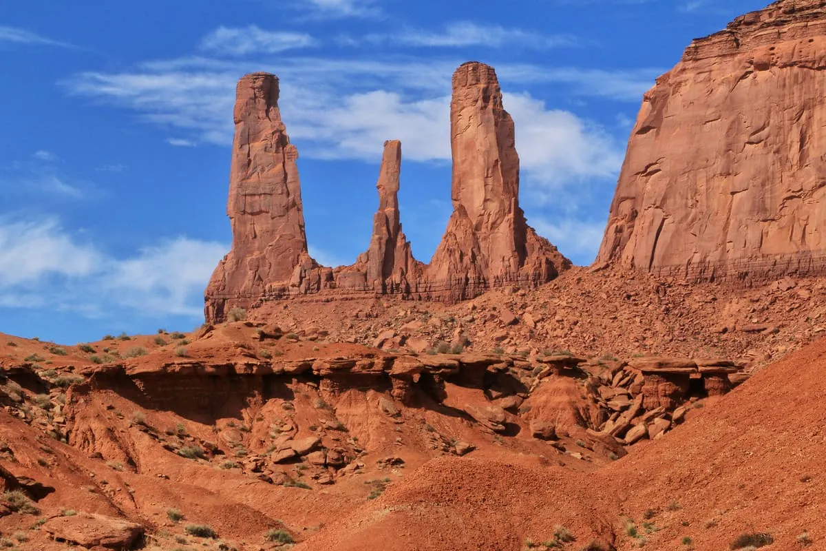
Three Sisters Spires, in Monument Valley, Arizona, is a group of three spires best seen from John Ford Point, one topped by a resting rock.
224 Score 25.5 out of 100 25.5
Natural Landmark
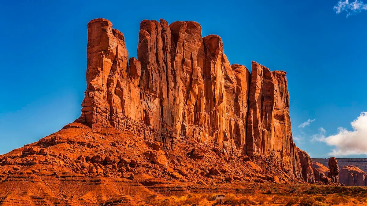
Thumb Spire, in Monument Valley, Navajo County, Arizona, stands next to Camel Butte with several large rocks beside it.
225 Score 25.5 out of 100 25.5
Natural Landmark
Thunderbird Conservation Park, in Glendale, Arizona.
226 Score 25.5 out of 100 25.5
Natural Landmark
Tucson Mountain Park, south-west of Tucson, Arizona, covers a mountain range with trails through saguaro stands popular for sunset photography.
227 Score 25.5 out of 100 25.5
Natural Landmark
Twin Point Overlook, on the Grand Canyon–Parashant/Grand Canyon National Park border in Mohave County, Arizona, overlooks the Grand Canyon.
228 Score 25.5 out of 100 25.5
Natural Landmark
Valley View Overlook Trail, in Saguaro National Park, Arizona, is a short trail ending with views of Avra Valley and Picacho Peak.
229 Score 25.5 out of 100 25.5
Natural Landmark
Vermilion Cliffs Trail, in Vermilion Cliffs National Monument, Arizona.
230 Score 25.5 out of 100 25.5
Natural Landmark
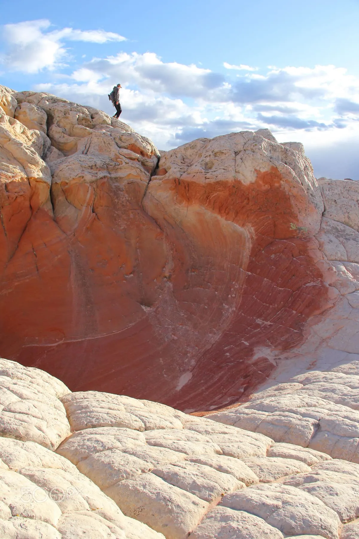
White Pocket, in Vermilion Cliffs National Monument, Arizona, is a sandstone formation whose thin grey cover layer resembles an iced marble cake.
231 Score 25.5 out of 100 25.5
Natural Landmark
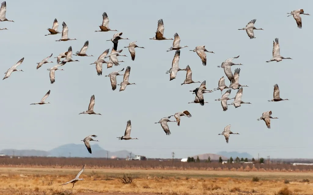
Whitewater Draw Wildlife Area, near Douglas, Arizona, hosts about 20,000 wintering sandhill cranes each year, most visible from December to February.
232 Score 25.5 out of 100 25.5
Natural Landmark
Yei Bi Chei Point, in Monument Valley, Arizona, overlooks the Sand Springs region and, ringed by rock formations, looks upward rather than down.
233 Score 25.5 out of 100 25.5
Natural Landmark
Yei Bi Chei Spires, in Monument Valley, Arizona, form a crescent beside Totem Pole Spire and, from the south, resemble dancers of their Navajo namesake.
How this category is scored Every attraction in this category starts from a significance baseline of 58 out of 100, before any designations it holds are added. The full table is on the methodology page .
None of these publish an official visitor count, so they are ranked on public interest and tourism significance, and none can reach the top score band.