0.9 miles away
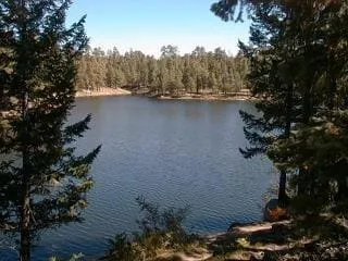
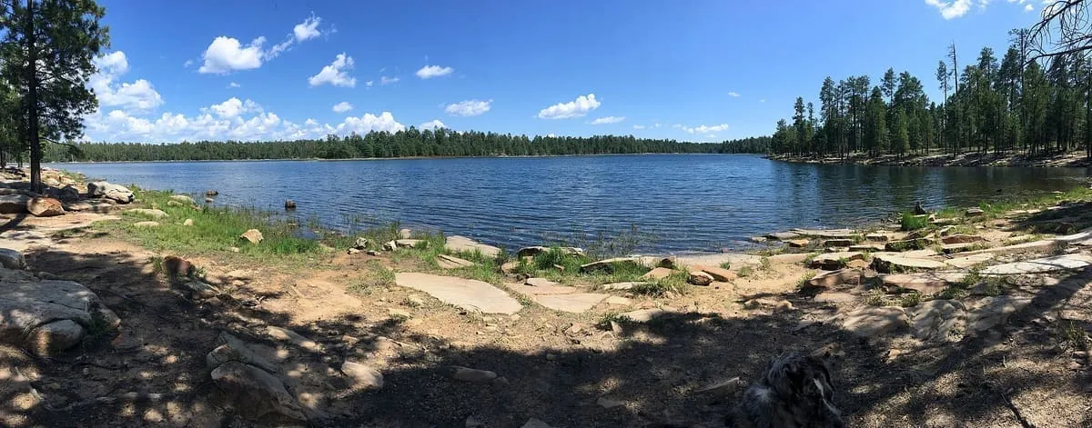
Woods Canyon Lake
A 55-acre reservoir on the Mogollon Rim east of Payson, the most developed of the Rim Lakes and stocked with trout.
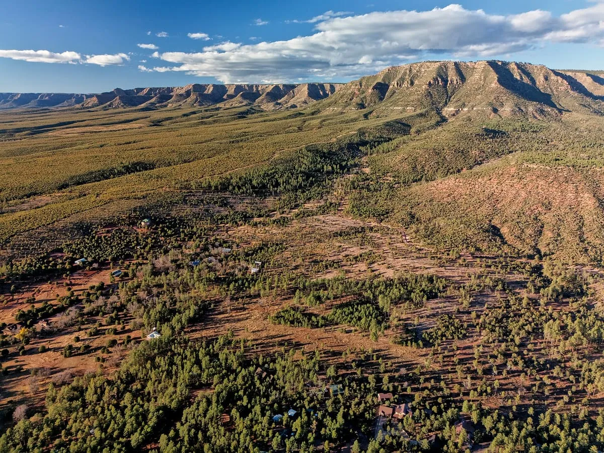
A topographical feature running some 200 miles across northern Arizona, forming the southern edge of the Colorado Plateau.
The Mogollon Rim is a topographical and geological feature cutting across the northern half of Arizona. It extends approximately 200 miles, beginning in northern Yavapai County and running eastward to end near the border with New Mexico. It forms the southern edge of the Colorado Plateau in Arizona.
Mogollon Rim is a natural landmark near Payson, in Coconino County. It is one of the natural landmarks in this database, and appears in the statewide ranking of Arizona attractions.
No official visitor count is published for Mogollon Rim, so its score rests on public interest and tourism significance, and is capped below the level a measured attraction can reach. That is why the medium confidence above is not higher. The weighting is explained in full on the methodology page, and every axis is broken out under Facts and sources at the foot of this page.
Note on the data: No official visitor count is published for this attraction.
Record last verified 2026-08-12.
0.9 miles away
4.4 miles away
24 miles away
30 miles away
30 miles away
34 miles away