1.2 miles away
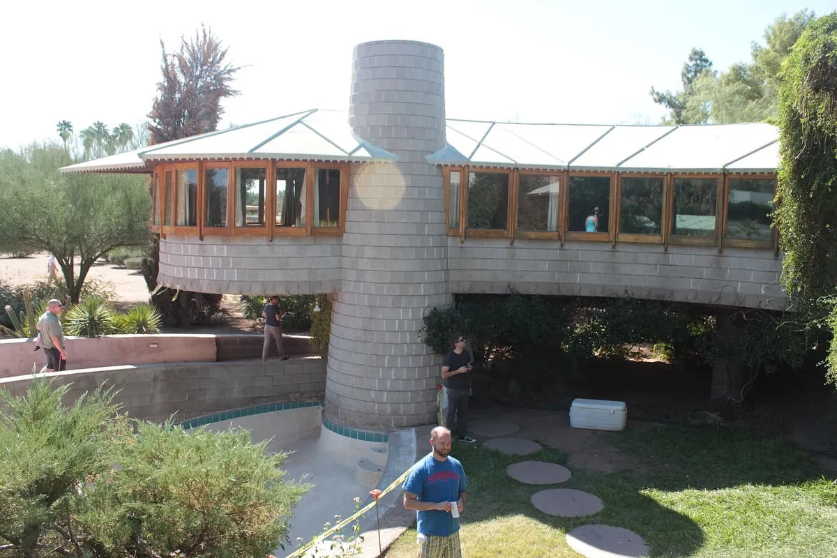
David & Gladys Wright House
A Frank Lloyd Wright house of 1950–52 in Arcadia, Phoenix, built for his son David: a curved concrete arc raised on seven piers.
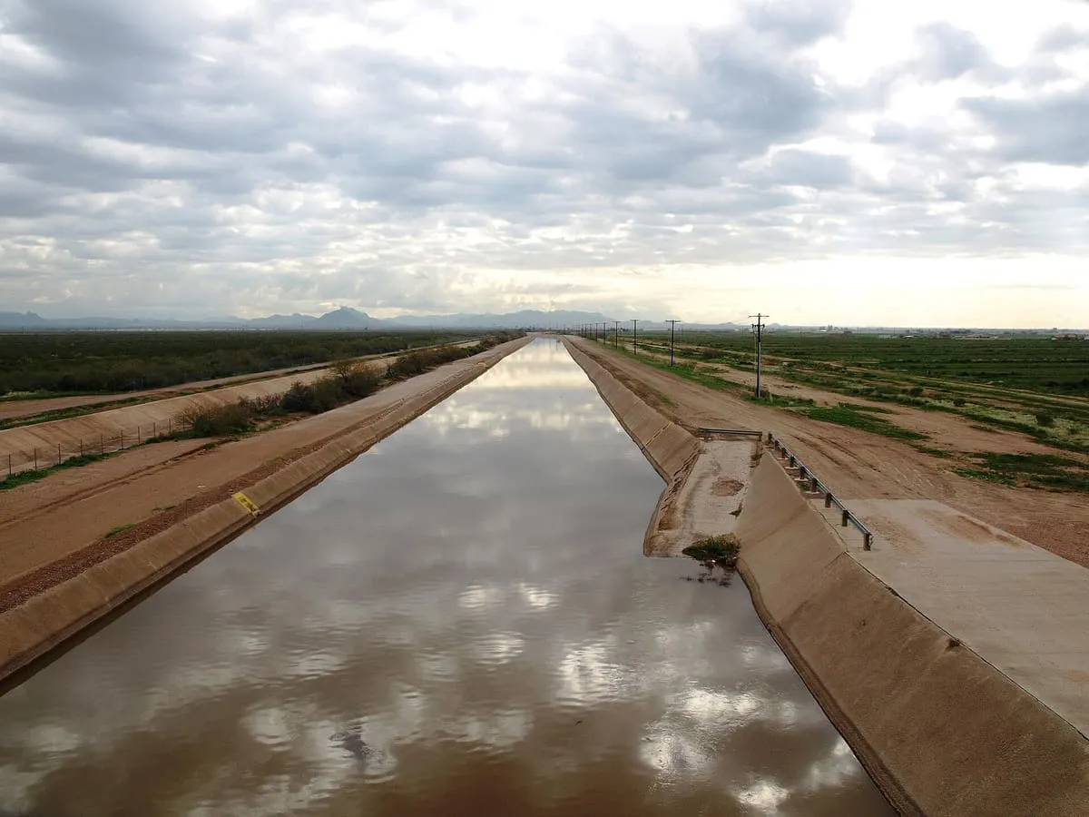
A canal of nearly 50 miles across Maricopa County, built in the late 1880s and the northernmost in the Salt River Project system.
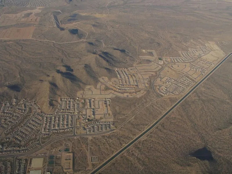
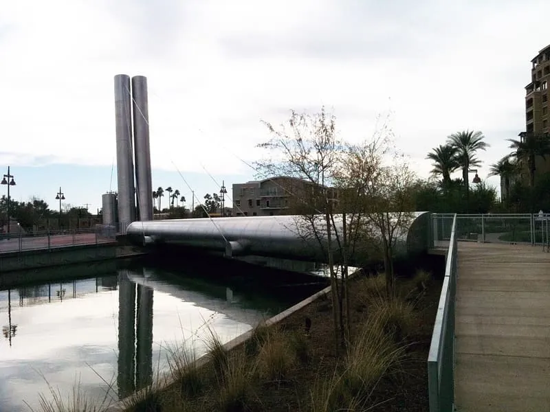
The Arizona Canal is a canal in central Maricopa County, constructed in the late 1880s, whose building led to the founding of several communities now among the wealthier suburbs of Phoenix. Nearly 50 miles long, it is the northernmost canal in the Salt River Project's 131-mile water distribution system. It begins at the Granite Reef Diversion Dam north-east of Mesa and runs west across the Salt River Pima-Maricopa Indian Community, downtown Scottsdale, the Arcadia and Sunnyslope neighbourhoods of Phoenix, Glendale and Peoria, ending at New River near Arrowhead Towne Center. Flood irrigation of residential yards remains common in the neighbourhoods along it, drawing on lateral waterways connected to the canal by gates. Its banks carry several routes: US Bicycle Route 90 follows the canal from Skunk Creek in Peoria to Maryland Avenue in Phoenix, the Maricopa Trail follows it from the Granite Reef Diversion Dam to the Scottsdale Nature Area at Indian Bend Wash, and the Sun Circle Trail runs its entire length.
Arizona Canal is a landmark near Phoenix, in Maricopa County. It is one of the landmarks in this database, and appears in the statewide ranking of Arizona attractions.
No official visitor count is published for Arizona Canal, so its score rests on public interest and tourism significance, and is capped below the level a measured attraction can reach. That is why the medium confidence above is not higher. The weighting is explained in full on the methodology page, and every axis is broken out under Facts and sources at the foot of this page.
Note on the data: No official visitor count is published for this attraction.
Record last verified 2026-08-12.
1.2 miles away
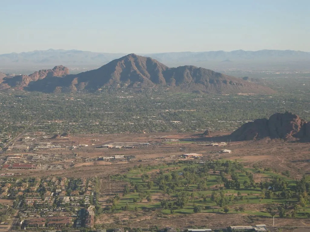
1.4 miles away
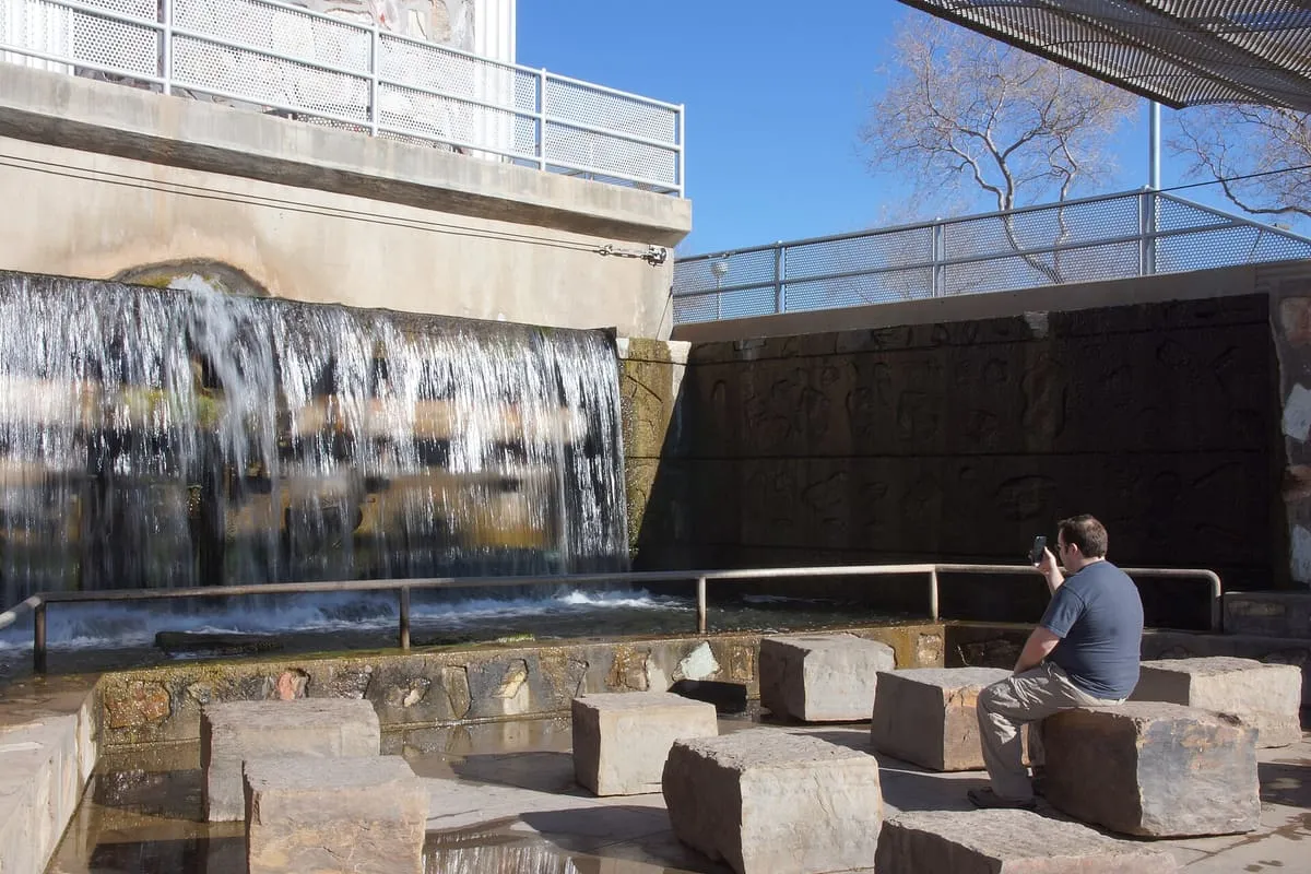
2.1 miles away
2.4 miles away
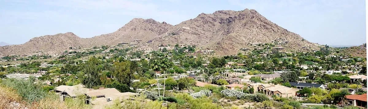
3.0 miles away
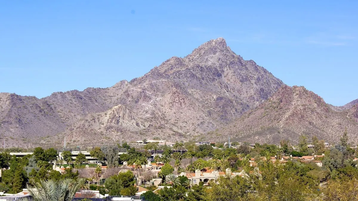
3.4 miles away