1.0 miles away

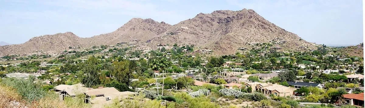
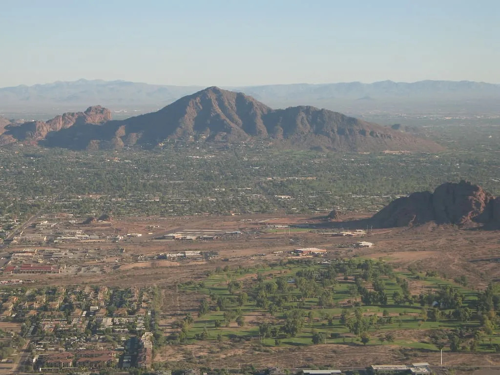
Camelback Mountain
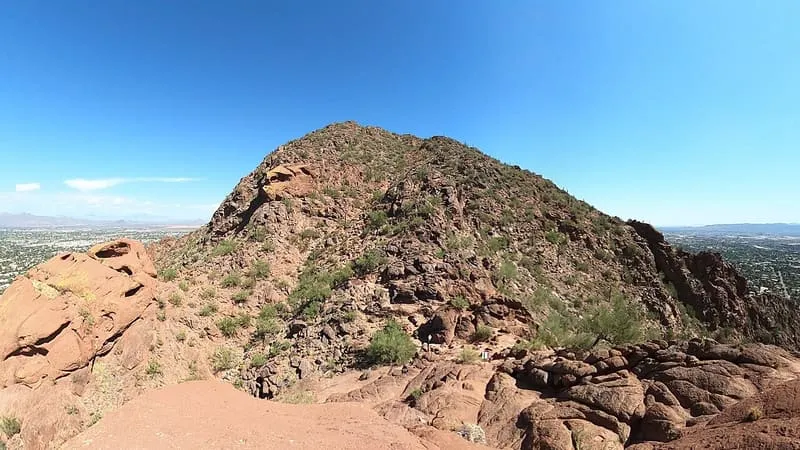
The highest peak in the Phoenix metropolitan area, named for its resemblance to the hump and head of a kneeling camel.
- Rank in Arizona
- #37of 727 ranked
- Overall score
- Score 58.7 out of 100medium confidence
- Most looked up
- Marchby Wikipedia readers
- Category
- Natural Landmark
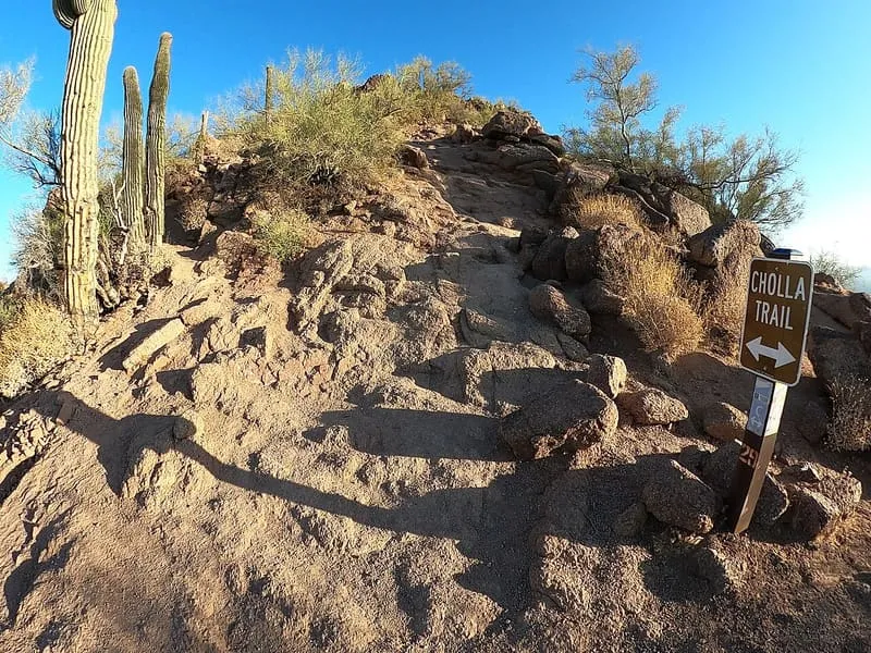
Camelback Mountain is a mountain in Phoenix, Arizona, whose name derives from its shape, which resembles the hump and head of a kneeling camel. It is the highest peak in the Phoenix metropolitan area and stands between the Arcadia neighbourhood of Phoenix and the town of Paradise Valley. The Phoenix Parks and Recreation Department maintains its access, trails and public facilities as the Echo Canyon Recreation Area, a destination for hiking and rock climbing.
Where it is
Camelback Mountain is a natural landmark near Phoenix, in Maricopa County. It is one of the natural landmarks in this database, and appears in the statewide ranking of Arizona attractions.
How this ranking was reached
No official visitor count is published for Camelback Mountain, so its score rests on public interest and tourism significance, and is capped below the level a measured attraction can reach. That is why the medium confidence above is not higher. The weighting is explained in full on the methodology page, and every axis is broken out under Facts and sources at the foot of this page.
Note on the data: No official visitor count is published for this attraction.
Sources
- Public interest: Wikimedia pageviews (en.wikipedia, human traffic), 2024
- Coordinates and designations: Wikivoyage(opens in a new tab)
- County: U.S. Census geography via FCC Area API, resolved from coordinates
- Official site: https://www.phoenix.gov/parks/trails/locations/camelback-mountain(opens in a new tab)
Record last verified 2026-08-12.
More photographs

Public domain · source(opens in a new tab) 
Hoplophile, CC BY-SA 4.0 · licence(opens in a new tab) · source(opens in a new tab)
Nearby attractions
- Salt River Project Canals, in Scottsdale, Arizona, has public banks used for running, biking, and other recreational activities.
1.4 miles away
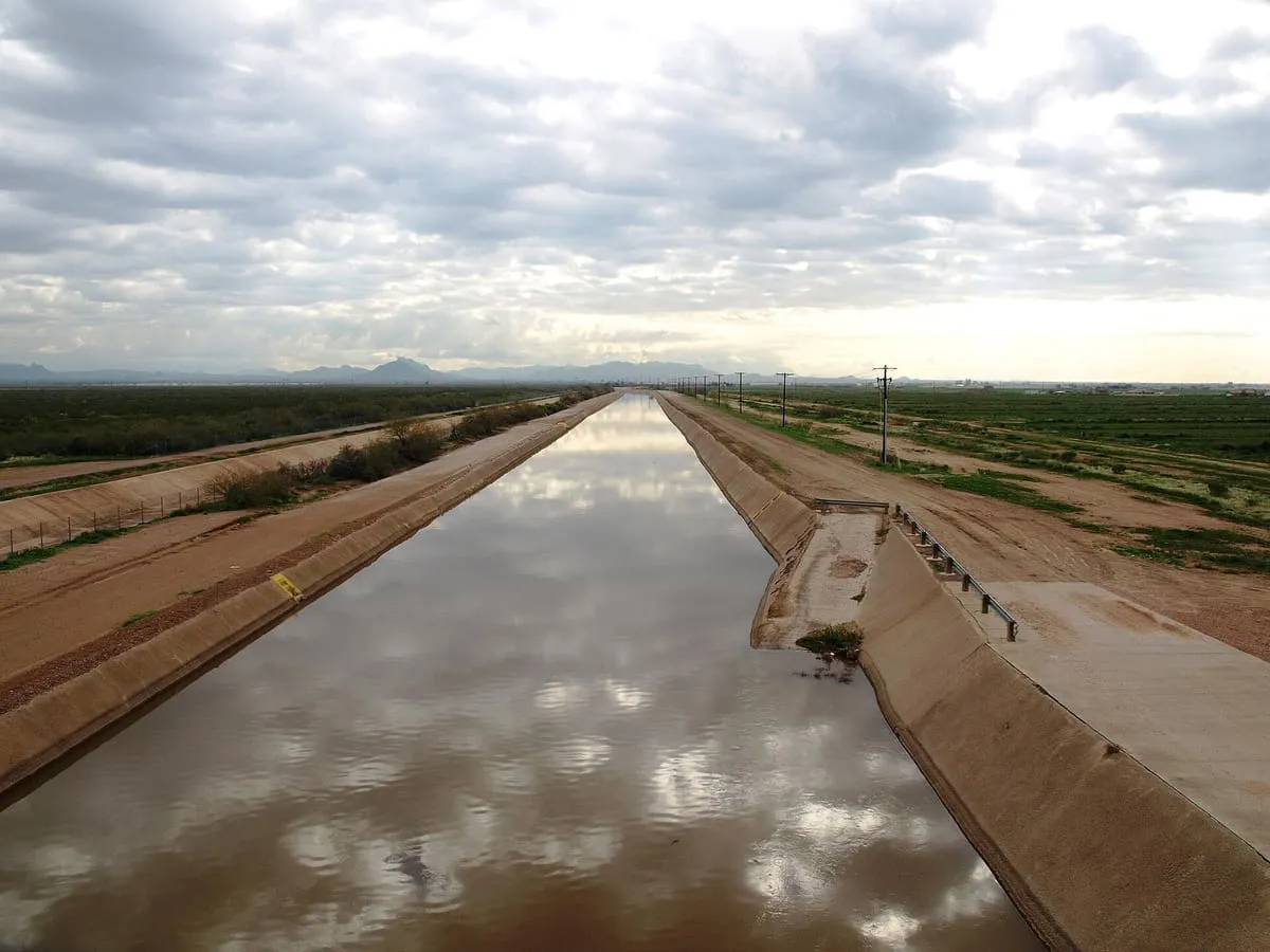
Arizona Canal
A canal of nearly 50 miles across Maricopa County, built in the late 1880s and the northernmost in the Salt River Project system.
1.4 miles away
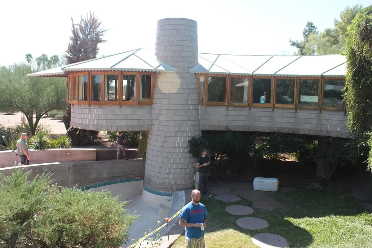
David & Gladys Wright House
A Frank Lloyd Wright house of 1950–52 in Arcadia, Phoenix, built for his son David: a curved concrete arc raised on seven piers.
1.6 miles away
Mummy Mountain (Arizona)
A mountain in Paradise Valley, residential on its slopes and conservation land at its summit, with the Camelback Inn below since 1936.
2.3 miles away
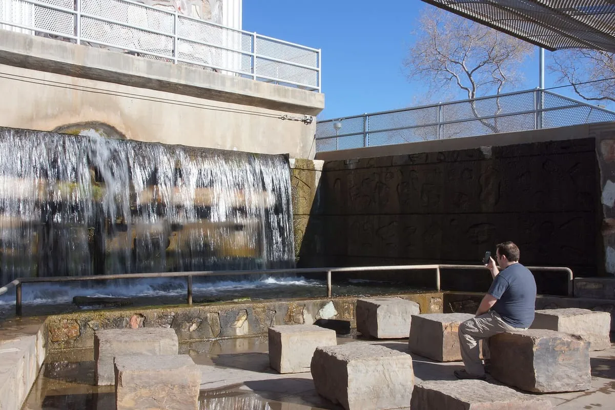
Arizona Falls
A waterfall in Phoenix where the Arizona Canal crosses a 20-foot drop, rebuilt in the early 2000s as public art and a working power station.
3.1 miles away
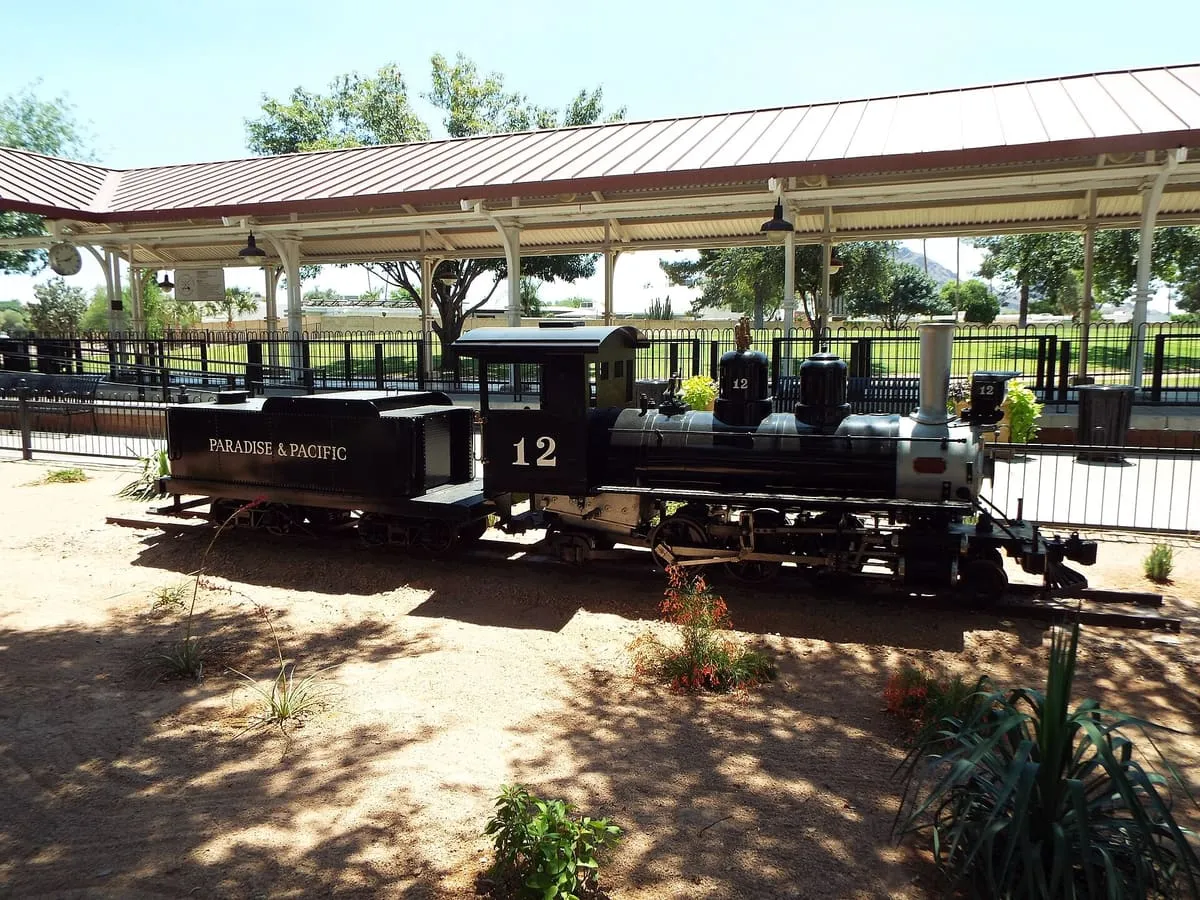
McCormick-Stillman Railroad Park
A 30-acre railway park in Scottsdale with a 15-inch gauge line, a live steam railway, a museum and three model railway clubs.
Facts and sources
Place
- Category
- Natural Landmark
- Destination
- Phoenix
- County
- Maricopa County
- State
- Arizona
Visitation
- Annual visits
- Not published
Ranking
- Overall score
- 58.7 / 100
- Visitation score
- No published count
- Popularity score
- 59.4
- Significance score
- 58.0
- Confidence
- medium
Visiting
- Official website
- phoenix.gov(opens in a new tab)
- Coordinates
- 33.5215, -111.9739
- Last verified
- 2026-08-12