28 miles away
Black Mesa
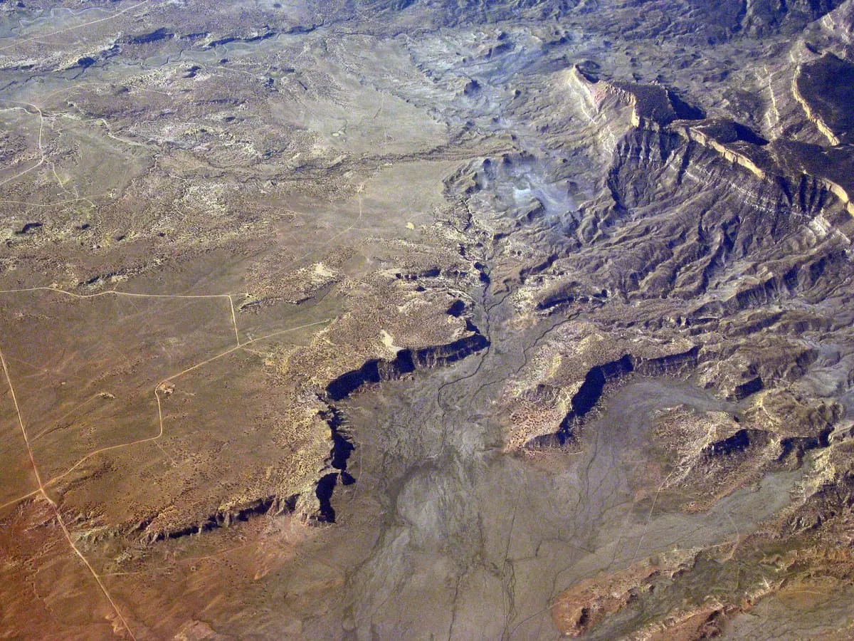
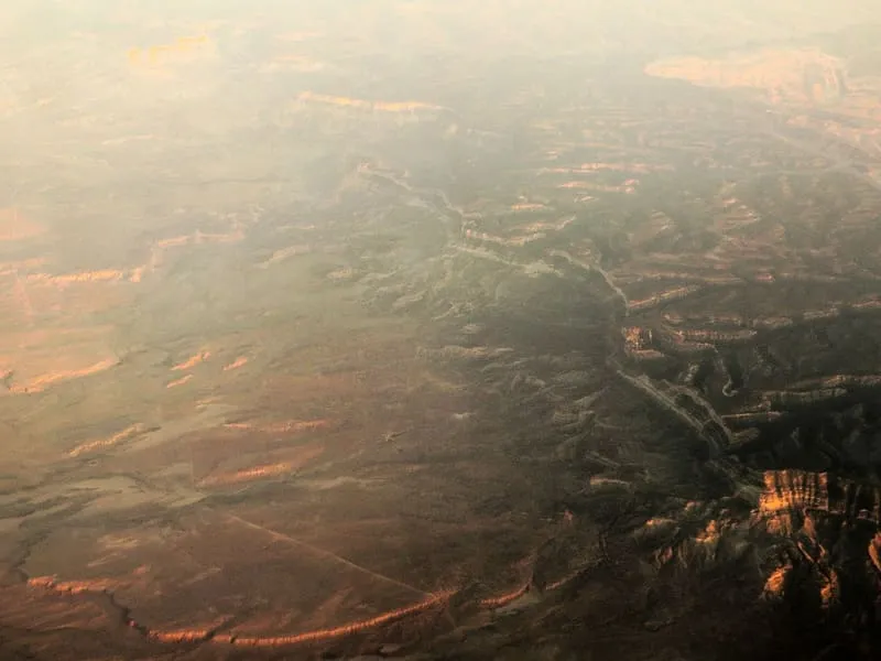
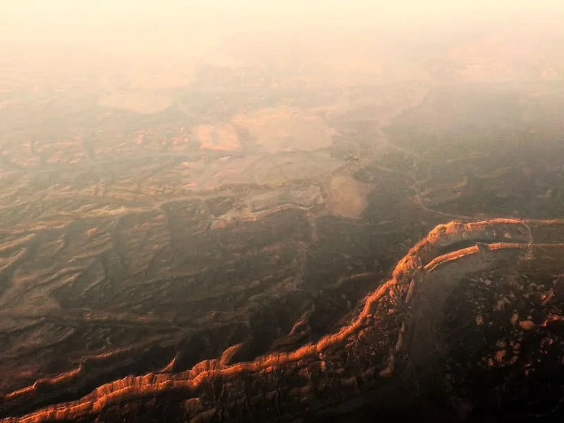
Black Mesa (also called Big Mountain) is an upland mountainous mesa of Arizona, north-trending in Navajo County, west and southeast-trending in Apache County. In Navajo it is called Dziłíjiin ('Black Mountain') and during Mexican rule of Arizona it was called Mesa de las Vacas (Spanish for 'mesa of the cows'). It derives its dark appearance from its pinyon-juniper and mixed conifer woodlands.

Facts and sources
Place
- Category
- Natural Landmark
- Destination
- Kayenta
- County
- Navajo County
- State
- Arizona
Visitation
- Annual visits
- Not published
Ranking
- Overall score
- 49.5 / 100
- Visitation score
- No published count
- Popularity score
- 39.3
- Significance score
- 58.0
- Confidence
- medium
Visiting
- Coordinates
- 36.3000, -110.2000
- Last verified
- 2026-08-12
Where it is
Black Mesa is a natural landmark near Kayenta, in Navajo County. It is one of the natural landmarks in this database, and appears in the statewide ranking of Arizona attractions.
How this ranking was reached
This place scores 49.5 out of 100, at medium confidence. No official visitor count is published for it, so the score rests on public interest and tourism significance, and is capped below the level a measured attraction can reach. The weighting is explained in full on the methodology page.
Note on the data: No official visitor count is published for this attraction.
Sources
- Description: Wikipedia(opens in a new tab), used under CC BY-SA 4.0(opens in a new tab)
- Public interest: Wikimedia pageviews (en.wikipedia, human traffic), 2024
- Coordinates and designations: Wikidata(opens in a new tab)
- County: U.S. Census geography via FCC Area API, resolved from coordinates
Record last verified 2026-08-12.
Nearby attractions
- Pictures, articles and military equipment tell the story of how the Navajo code talkers enabled the U.S. military to securely transmit information during World War II. The main museum is located behind the Burger King in a separate building while the restaurant has a few display cases of Japanese and US World War II artifacts.


36 miles away
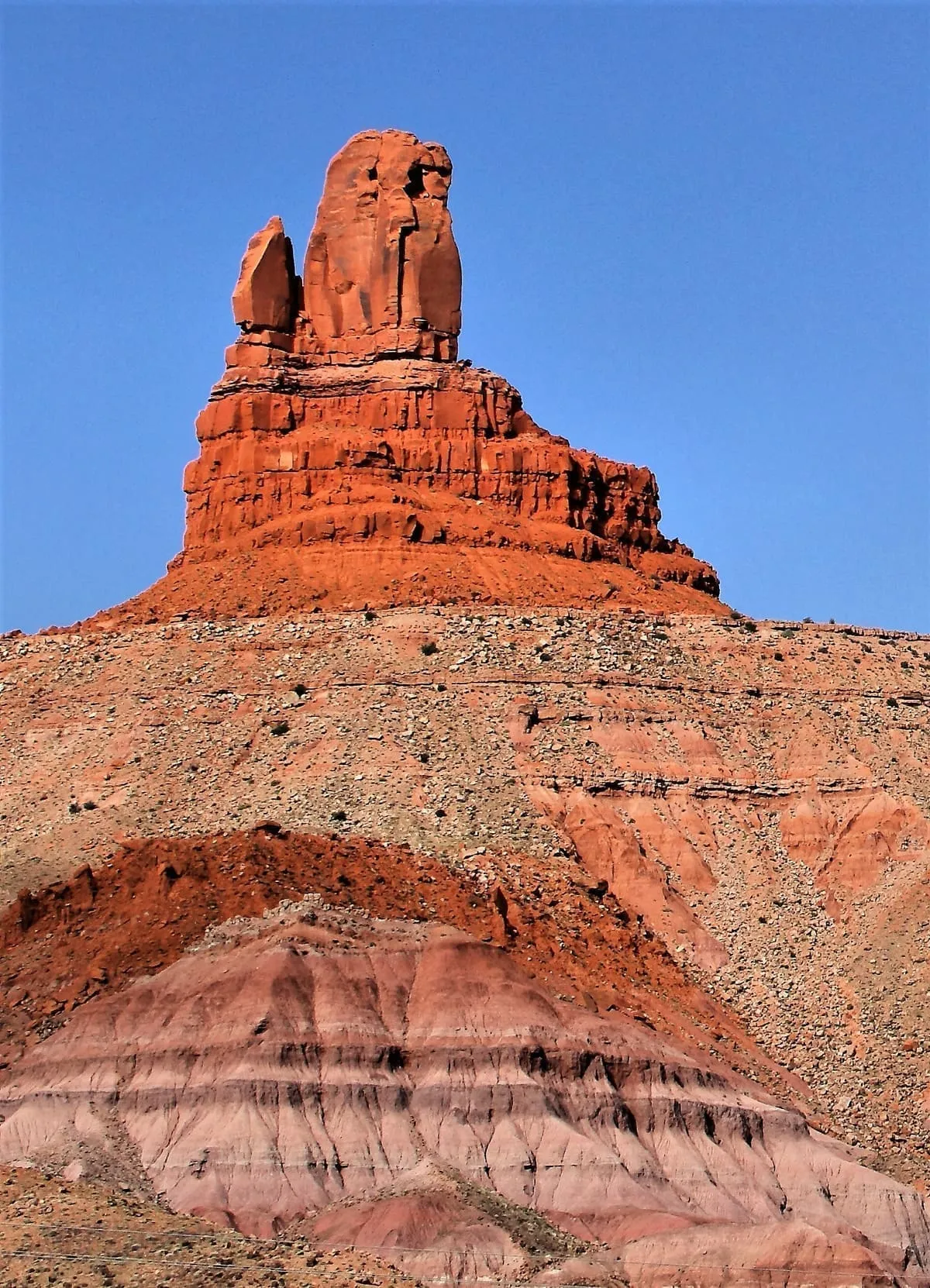
Owl Rock
Owl Rock is a 6,547-foot (1,996 m) elevation sandstone summit located south of Monument Valley, in northeast Arizona. It is situated 7 miles (11 km) north of Kayenta on Navajo Nation land, and can be seen from Highway 163 perched on the east edge of Tyende Mesa, where it towers 1,000 feet (300 meters) above the surrounding terrain. Its nearest higher neighbor is Agathla Peak, 1.4 miles (2.3 km) to the east-northeast, on the opposite side of this highway.
36 miles away
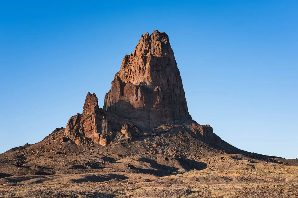
Agathla Peak
Agathla Peak or Agathlan (Navajo: Aghaałą́, Spanish: El Capitan) is a peak south of Monument Valley, Arizona, which rises over 1,500 feet (460 meters) above the surrounding terrain. It is 7 miles (11 km) north of Kayenta and is visible from U.S. Route 163.

40 miles away
Awatovi Ruins
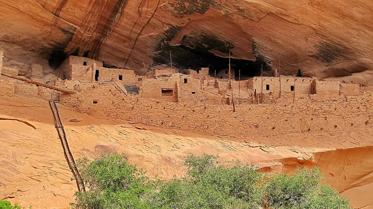
The Awatovi Ruins, spelled Awat'ovi in recent literature, are an archaeological site on the Hopi Reservation in northeastern Arizona, United States. The site contains the ruins of a pueblo estimated to be 500 years old, as well as those of a 17th-century Spanish mission. It was visited in the 16th century by members of Francisco Vázquez de Coronado's exploratory expedition.