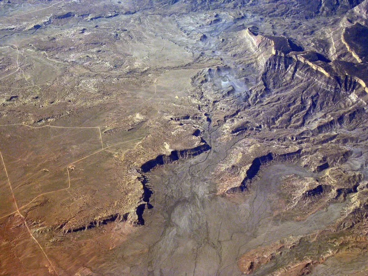
Black Mesa (also called Big Mountain) is an upland mountainous mesa of Arizona, north-trending in Navajo County, west and southeast-trending in Apache County. In Navajo it is called Dziłíjiin ('Black Mountain') and during Mexican rule of Arizona it was called Mesa de las Vacas (Spanish for 'mesa of the cows'). It derives its dark appearance from its pinyon-juniper and mixed conifer woodlands.
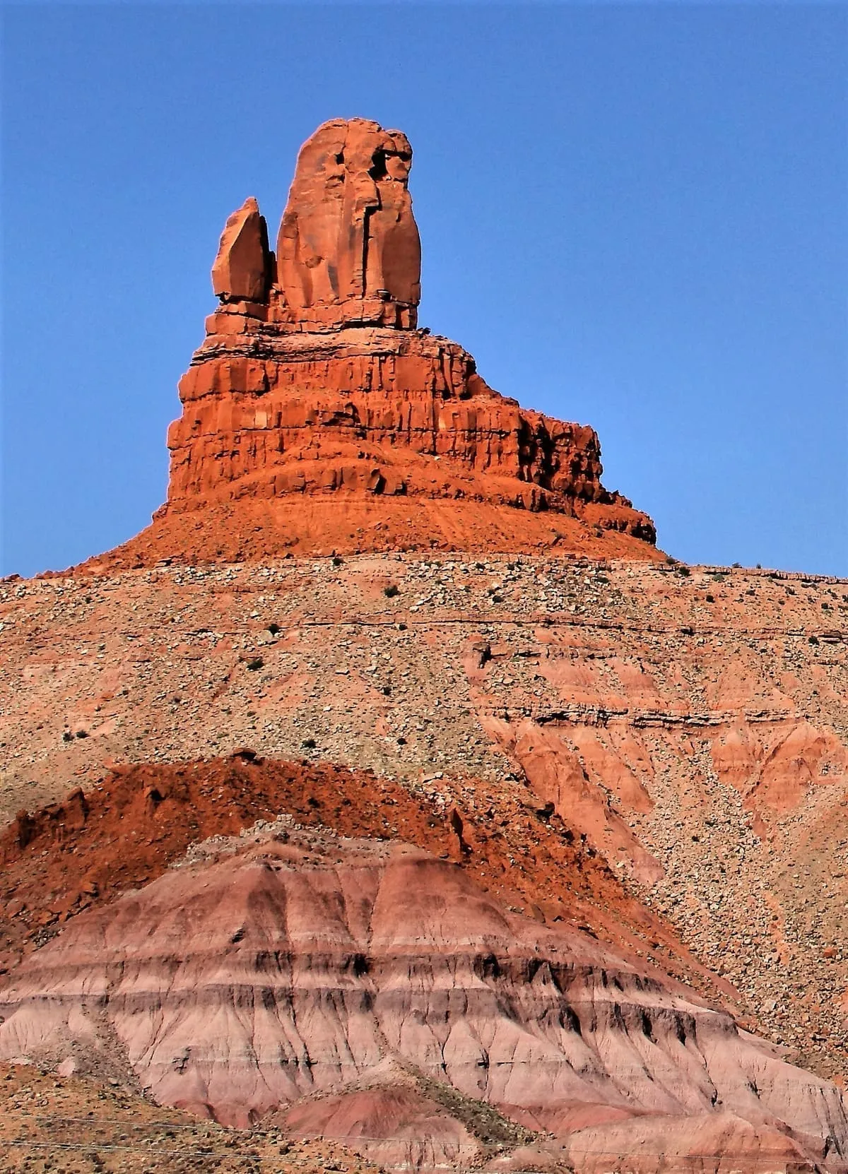
Owl Rock is a 6,547-foot (1,996 m) elevation sandstone summit located south of Monument Valley, in northeast Arizona. It is situated 7 miles (11 km) north of Kayenta on Navajo Nation land, and can be seen from Highway 163 perched on the east edge of Tyende Mesa, where it towers 1,000 feet (300 meters) above the surrounding terrain. Its nearest higher neighbor is Agathla Peak, 1.4 miles (2.3 km) to the east-northeast, on the opposite side of this highway.
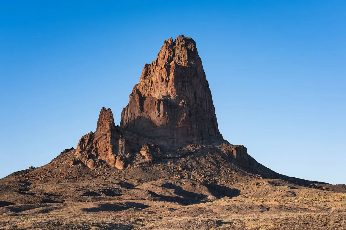
Agathla Peak or Agathlan (Navajo: Aghaałą́, Spanish: El Capitan) is a peak south of Monument Valley, Arizona, which rises over 1,500 feet (460 meters) above the surrounding terrain. It is 7 miles (11 km) north of Kayenta and is visible from U.S. Route 163.
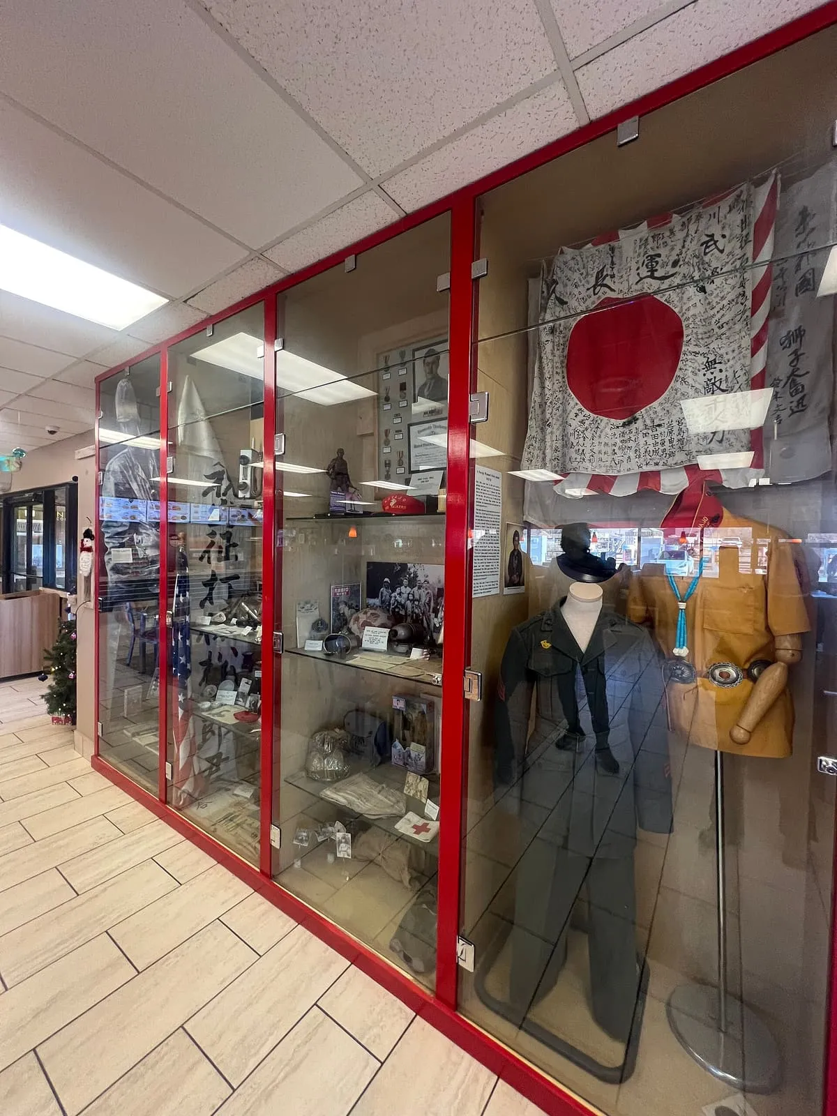
Pictures, articles and military equipment tell the story of how the Navajo code talkers enabled the U.S. military to securely transmit information during World War II. The main museum is located behind the Burger King in a separate building while the restaurant has a few display cases of Japanese and US World War II artifacts.
About this list
Attractions are associated with the nearest recognisable destination rather than by municipal boundary, so a place just outside Kayenta still appears here if that is how visitors reach it. 1 of these publish an official visitor count, together recording 58,442 visits in their most recent reported year.
Near Kayenta
The closest attractions outside Kayenta, measured from the places listed above rather than from a town centre nothing occupies.