0.1 miles away
Thumb Spire
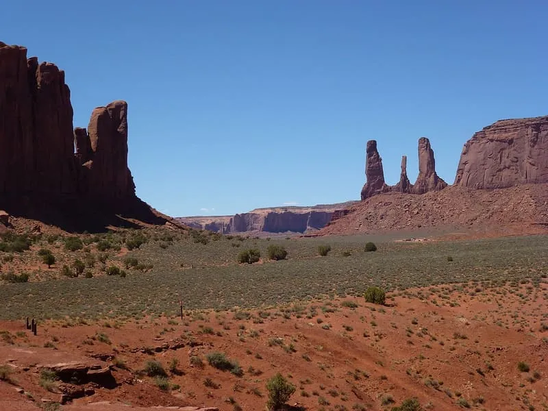
Thumb Spire, in Monument Valley, Navajo County, Arizona, stands next to Camel Butte with several large rocks beside it.
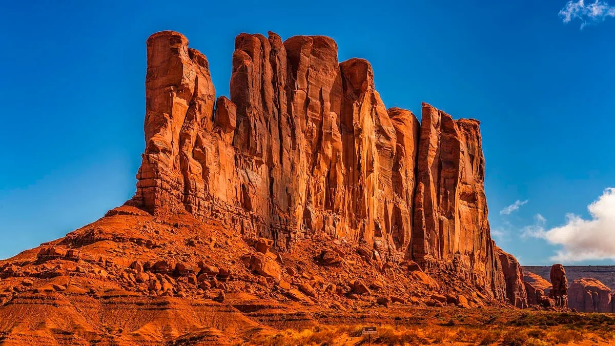
A 5,847-foot Monument Valley summit near John Ford's Point, with dirt roads passing it on three sides.
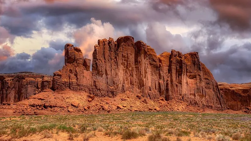
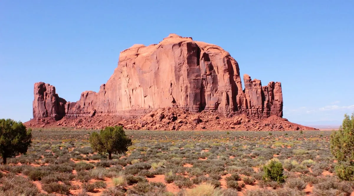
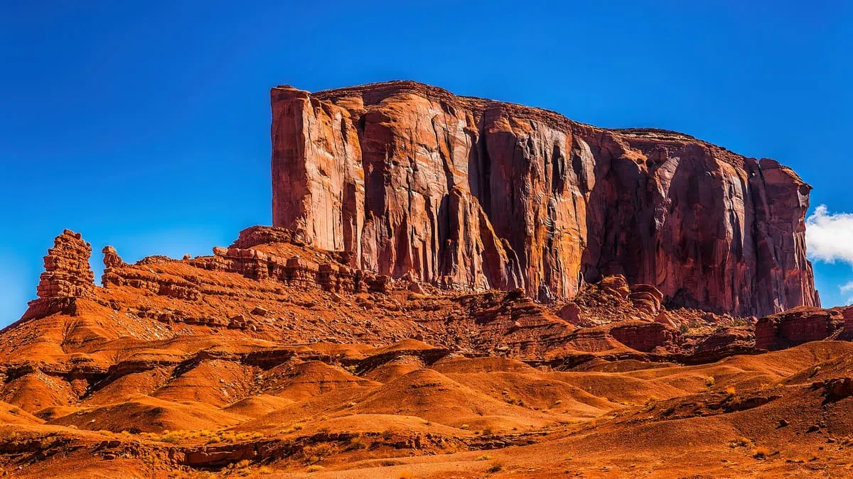
Camel Butte is a summit in Navajo County, Arizona, at an elevation of 5,847 feet, in Monument Valley near John Ford's Point. Dirt roads pass on three sides: one to the west, between the butte and John Ford's Point; one to the south, between Camel Butte and a neighbouring butte; and one to the east, running past Thumb Spire towards the North Window Overlook.
Camel Butte is a natural landmark near Monument Valley, in Navajo County. It is one of the natural landmarks in this database, and appears in the statewide ranking of Arizona attractions.
No official visitor count is published for Camel Butte, so its score rests on public interest and tourism significance, and is capped below the level a measured attraction can reach. That is why the medium confidence above is not higher. The weighting is explained in full on the methodology page, and every axis is broken out under Facts and sources at the foot of this page.
Note on the data: No official visitor count is published for this attraction.
Record last verified 2026-08-12.
0.1 miles away
0.4 miles away
0.4 miles away
0.5 miles away
0.6 miles away
1.0 miles away