Home Cities Monument Valley 31 attractions
1 Score 72.0 out of 100 72.0
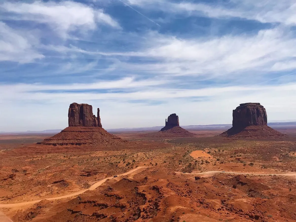
Natural Landmark
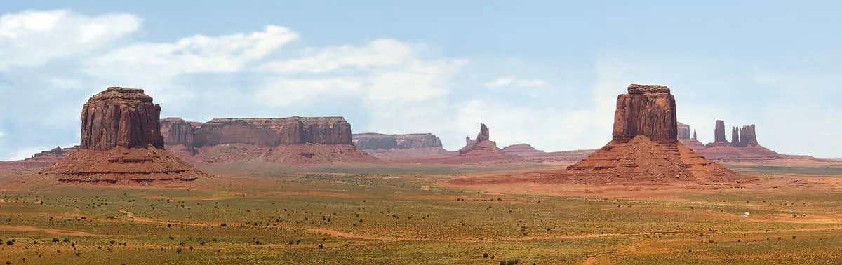
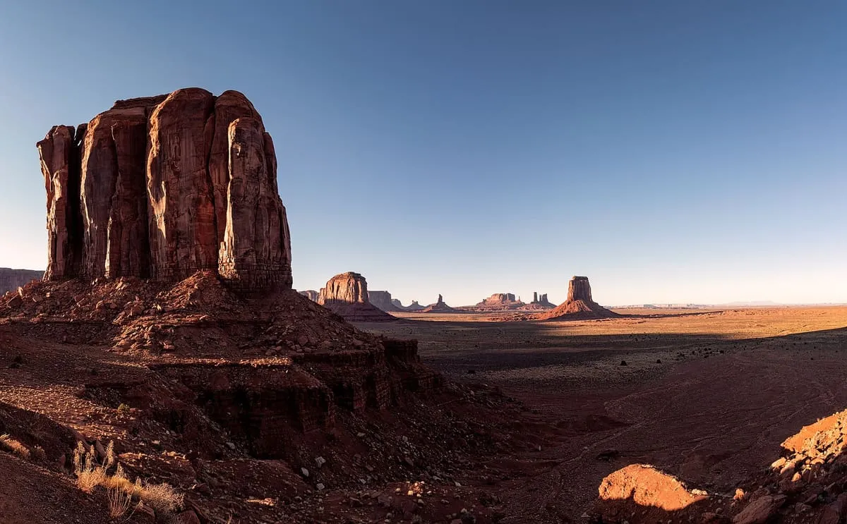
A cluster of sandstone buttes on the Navajo Nation, the largest rising 1,000 feet above the valley floor.
2 Score 58.1 out of 100 58.1
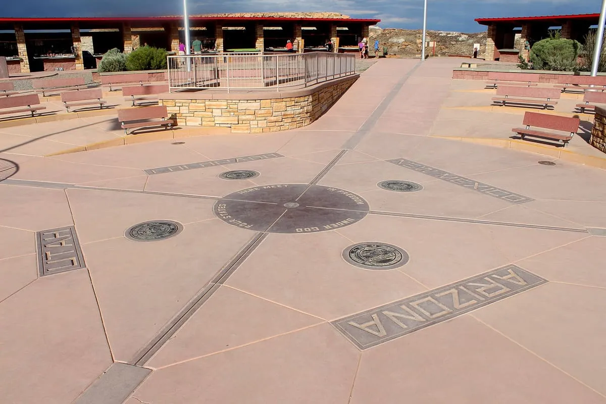
Landmark
The only point in the United States shared by four states, maintained by the Navajo Nation as a visitor site.
3 Score 52.6 out of 100 52.6
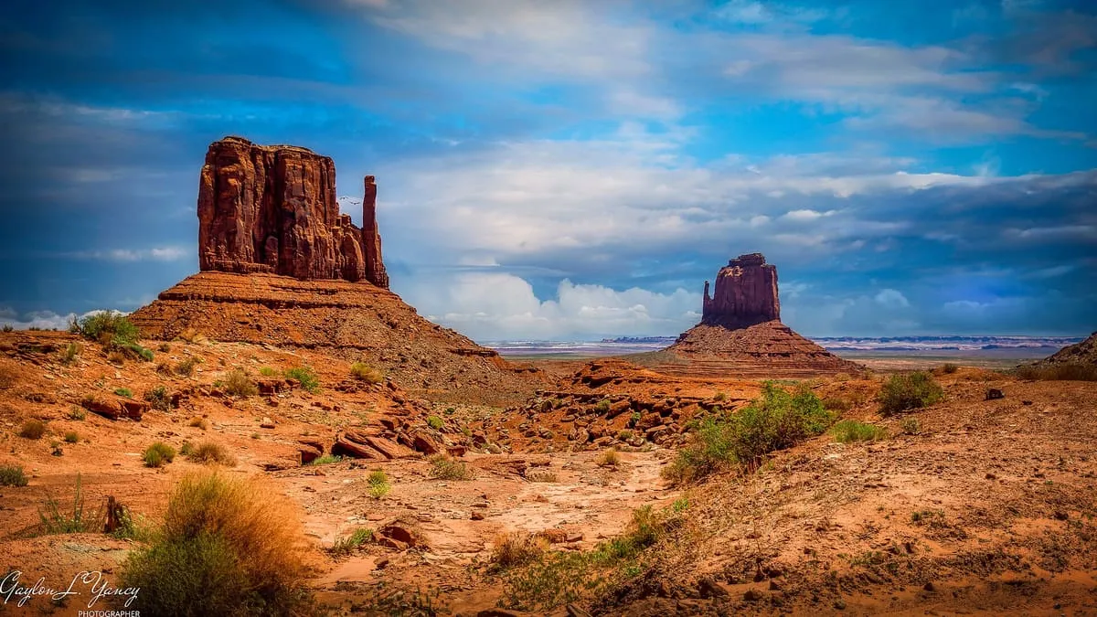
Natural Landmark
Two buttes in Monument Valley Navajo Tribal Park, rising above 6,100 feet and named for their resemblance to a pair of mittens.
4 Score 47.0 out of 100 47.0
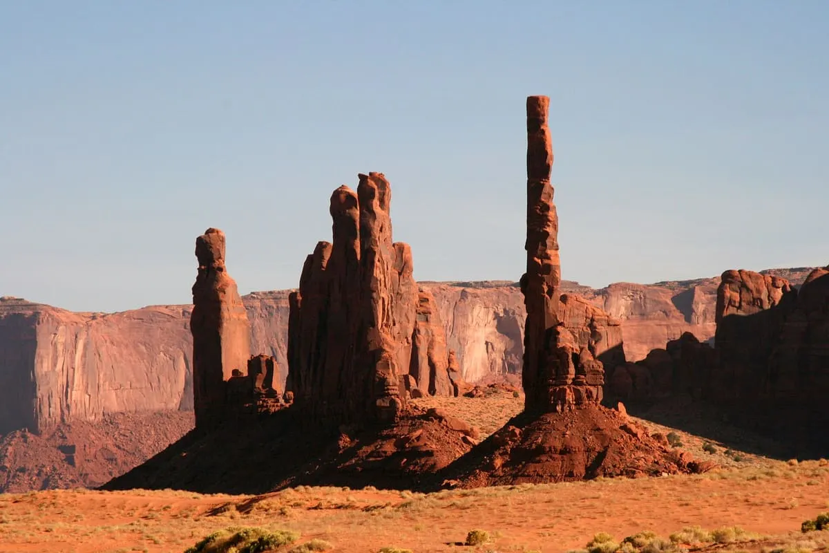
Natural Landmark
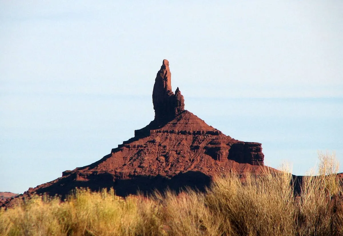
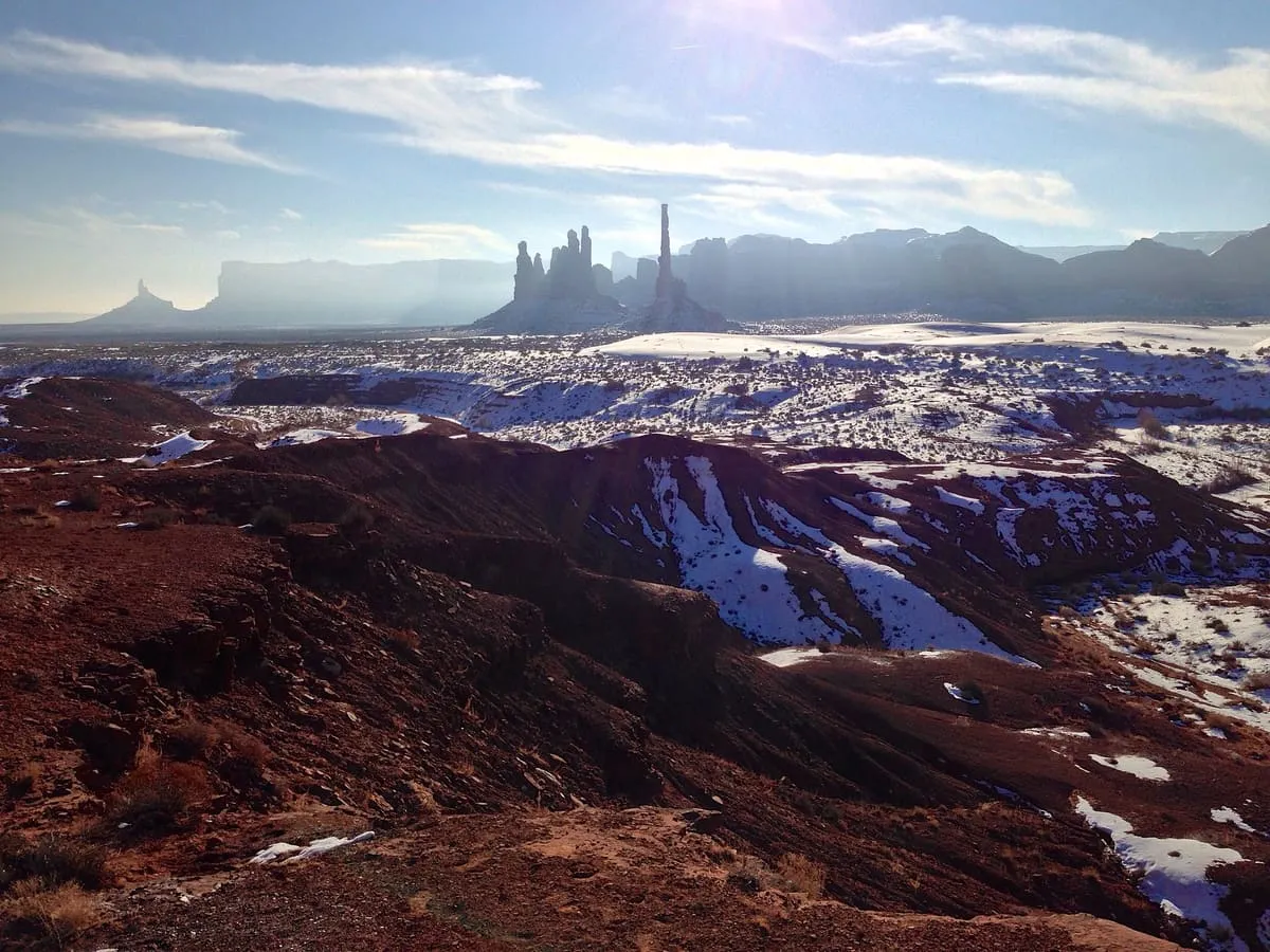
A slender rock spire in Monument Valley, the eroded remnant of a butte, standing beside the spires the Navajo call Yei Bi Chei.
5 Score 46.9 out of 100 46.9
Natural Landmark
A 6,370-foot mesa at the south-eastern edge of Monument Valley, reached only with a Navajo guide by way of the dunes near Kayenta.
6 Score 44.8 out of 100 44.8
Natural Landmark
A butte in Monument Valley Navajo Tribal Park, south of the Mitten Buttes and named for the miner Jack Merrick.
7 Score 33.5 out of 100 33.5
Natural Landmark
A 6,586-foot summit in Navajo County, named after a miner who died working the area alongside a partner named Merrick.
8 Score 31.6 out of 100 31.6
Natural Landmark
A 5,847-foot Monument Valley summit near John Ford's Point, with dirt roads passing it on three sides.
9 Score 31.6 out of 100 31.6
Natural Landmark
Cly Butte is a summit in Navajo County, Arizona, within Monument Valley, at an elevation of 5,820 feet.
10 Score 31.6 out of 100 31.6
Natural Landmark
A 5,981-foot Monument Valley butte, appearing as the largest formation visible north-east of John Ford's Point.
11 Score 31.6 out of 100 31.6
Natural Landmark
A 5,985-foot spire in a remote corner of Monument Valley that lies beyond the reach of all-day valley tours.
12 Score 25.5 out of 100 25.5
Historic Site
A Monument Valley ruin and petroglyph site on a canyon edge, fenced since 2018 to better protect it, unusually sited on the ground.
13 Score 25.5 out of 100 25.5
Historic Site
Ruins in southern Monument Valley thought to be the largest and most intact in the valley, set in a wide, shallow rock cave.
14 Score 25.5 out of 100 25.5
Natural Landmark
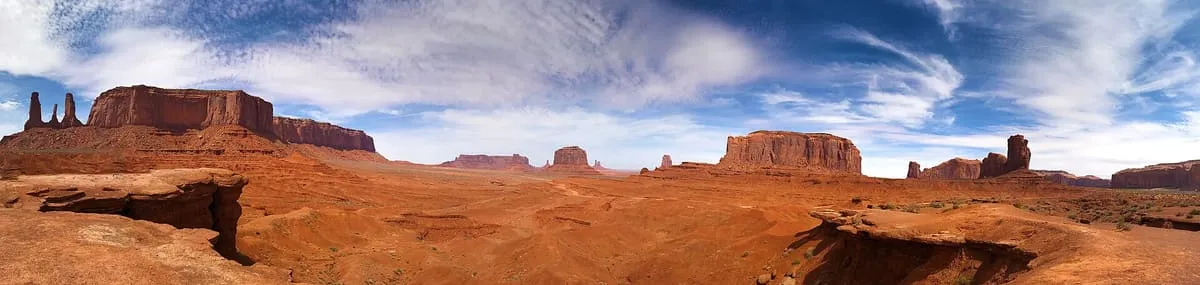
A Monument Valley viewpoint looking north across the valley toward the Mitten Buttes and other rock formations.
15 Score 25.5 out of 100 25.5
Natural Landmark
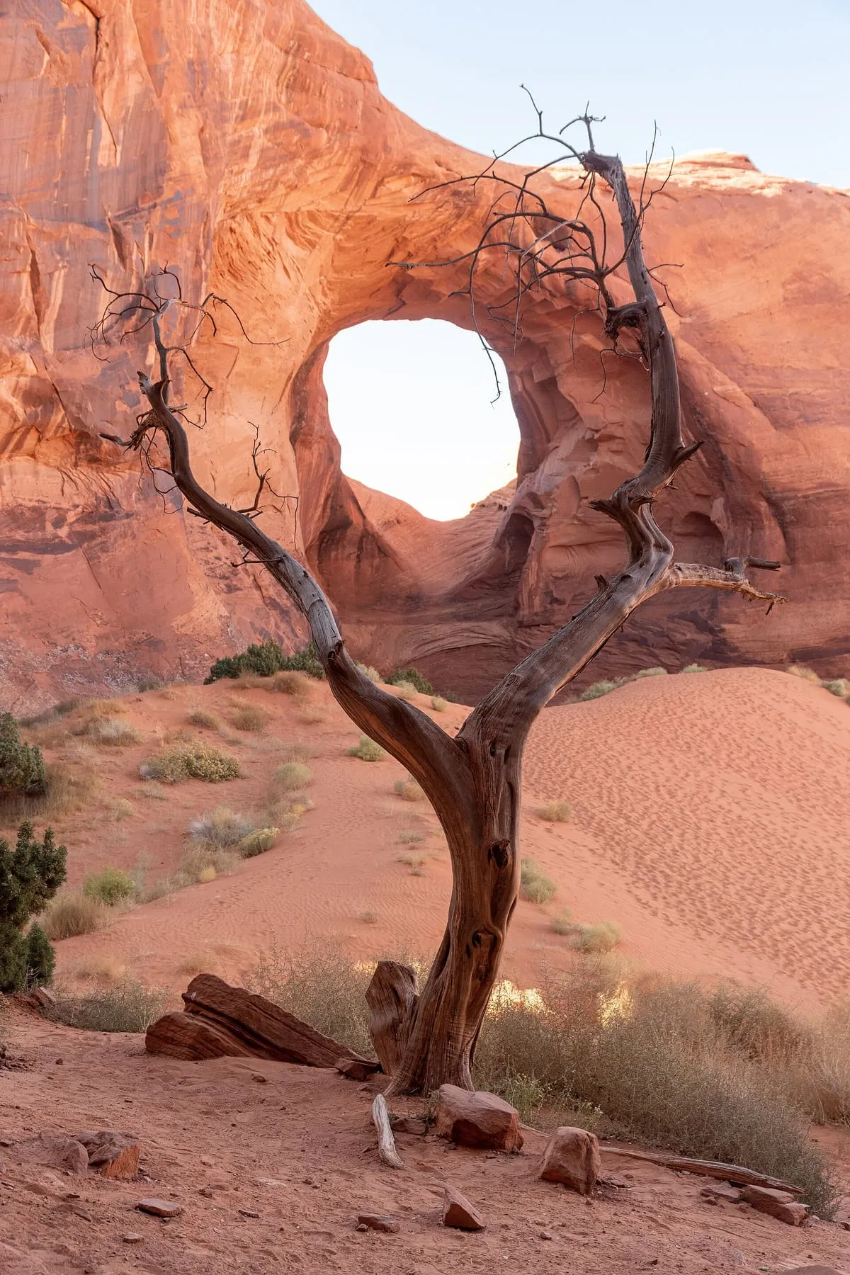
A Monument Valley rock arch named for its hogan-like shape, once a Navajo gathering place valued for its musical echo.
16 Score 25.5 out of 100 25.5
Natural Landmark
A small, square-shaped rock formation in eastern Monument Valley, visible north-east of Yei Bi Chei Point near the Sand Springs overlook.
17 Score 25.5 out of 100 25.5
Natural Landmark
Ear of the Wind is a rock arch in Monument Valley, Navajo County, Arizona, standing directly beside a sand dune.
18 Score 25.5 out of 100 25.5
Natural Landmark
A Monument Valley butte north of Sleeping Dragon Butte and west of Yei Bi Chei, with a canyon cutting into its south-western side.
19 Score 25.5 out of 100 25.5
Natural Landmark
Hidden Bridge Arch is a rock formation in Monument Valley, Navajo County, Arizona, south of the formations known as Big Hogan and Sun's Eye.
20 Score 25.5 out of 100 25.5
Natural Landmark
A Monument Valley overlook featured in several Western films, more developed than most of the park despite its rough dirt-road access.
21 Score 25.5 out of 100 25.5
Natural Landmark
John Wayne's Point, a Monument Valley overlook named for the actor, lies near Lookout Point but faces east-southeast rather than its direction.
22 Score 25.5 out of 100 25.5
Natural Landmark
North Window Overlook, in Monument Valley, Navajo County, Arizona, looks onto the North Window rock formation and the desert beyond it.
23 Score 25.5 out of 100 25.5
Natural Landmark
Sand Springs is a natural spring in Monument Valley, Navajo County, Arizona, situated close to a nearby sand dune within the valley.
24 Score 25.5 out of 100 25.5
Natural Landmark
Sleeping Dragon Butte, in Monument Valley, Arizona, resembles a dragon from the north and lies near traditional Navajo hogans and Flying Eagle.
25 Score 25.5 out of 100 25.5
Natural Landmark
Spearhead Mesa, in Monument Valley, Arizona, rises to 5,998 feet and marks the north-eastern boundary of the Eastern Monument Valley formations.
26 Score 25.5 out of 100 25.5
Natural Landmark
Sun's Eye, in Monument Valley, Navajo County, Arizona, is a rock arch visible from a rock formation beneath it.
27 Score 25.5 out of 100 25.5
Natural Landmark
The Hub, in Monument Valley, Navajo County, Arizona, is a two-step butte with a narrower butte set atop a larger one.
28 Score 25.5 out of 100 25.5
Natural Landmark
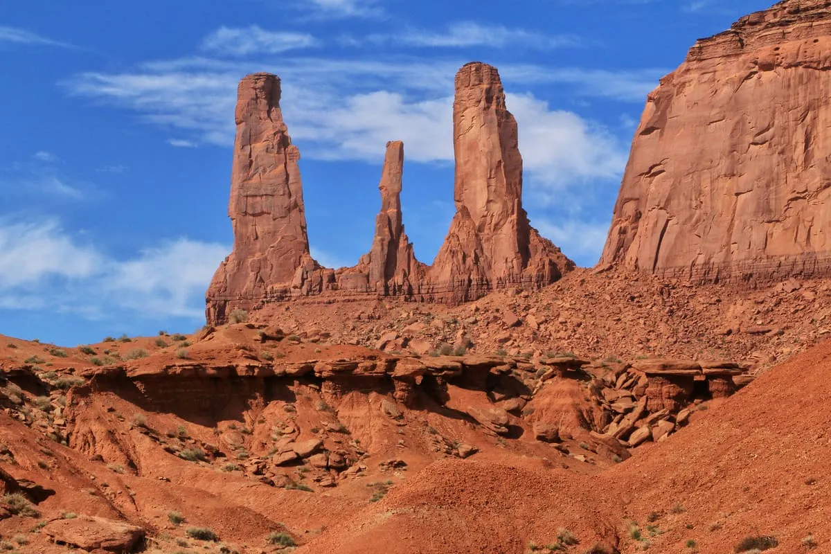
Three Sisters Spires, in Monument Valley, Arizona, is a group of three spires best seen from John Ford Point, one topped by a resting rock.
29 Score 25.5 out of 100 25.5
Natural Landmark
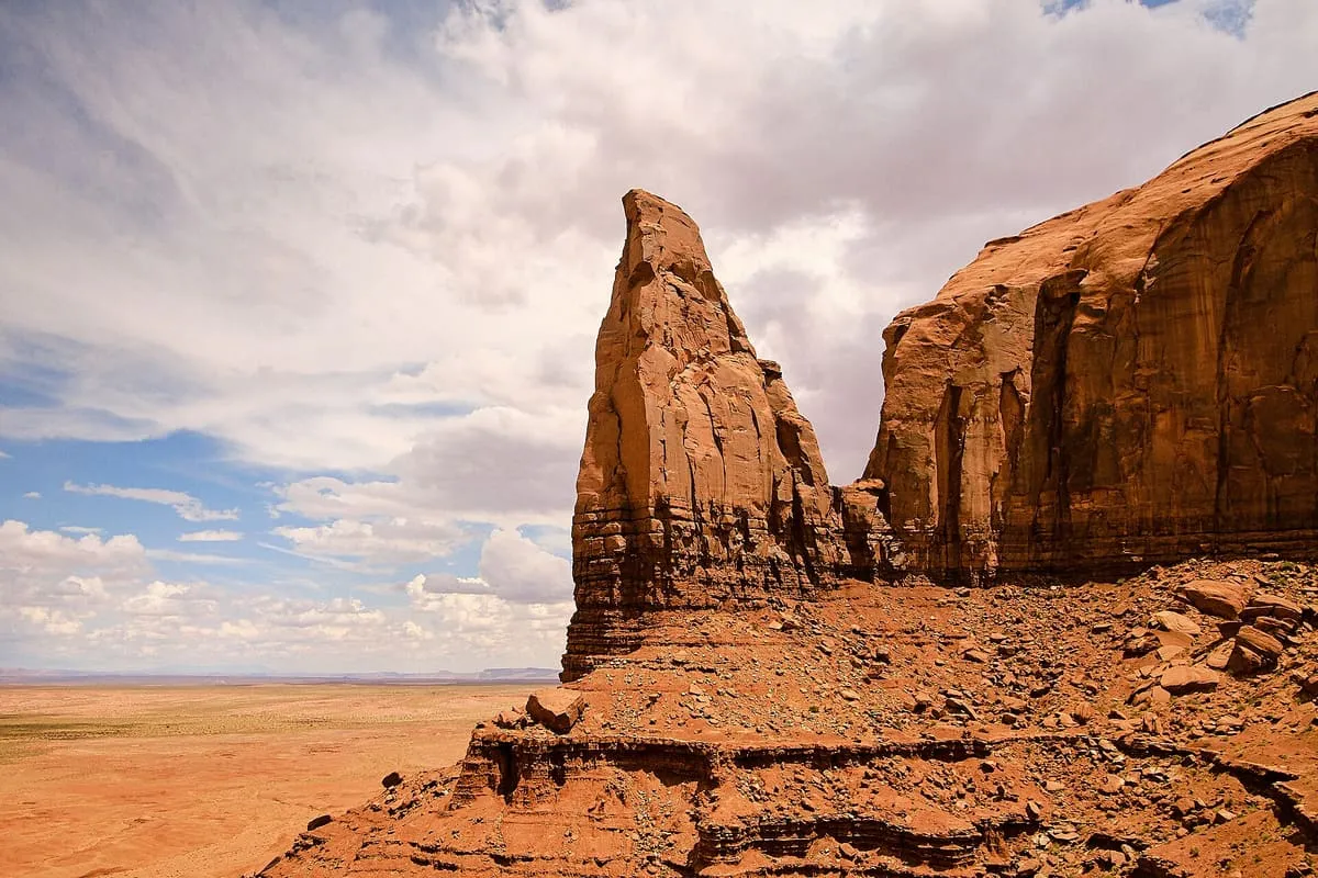
Thumb Spire, in Monument Valley, Navajo County, Arizona, stands next to Camel Butte with several large rocks beside it.
30 Score 25.5 out of 100 25.5
Natural Landmark
Yei Bi Chei Point, in Monument Valley, Arizona, overlooks the Sand Springs region and, ringed by rock formations, looks upward rather than down.
31 Score 25.5 out of 100 25.5
Natural Landmark
Yei Bi Chei Spires, in Monument Valley, Arizona, form a crescent beside Totem Pole Spire and, from the south, resemble dancers of their Navajo namesake.
About this list Attractions are associated with the nearest recognisable destination rather than by municipal boundary, so a place just outside Monument Valley still appears here if that is how visitors reach it. None of these publish an official visitor count, so they are ranked on public interest and tourism significance. Each page says so.
Near Monument Valley The closest attractions outside Monument Valley, measured from the places listed above rather than from a town centre nothing occupies.
Browse more nearby: Navajo County , Apache County · Statewide ranking