3.0 miles away
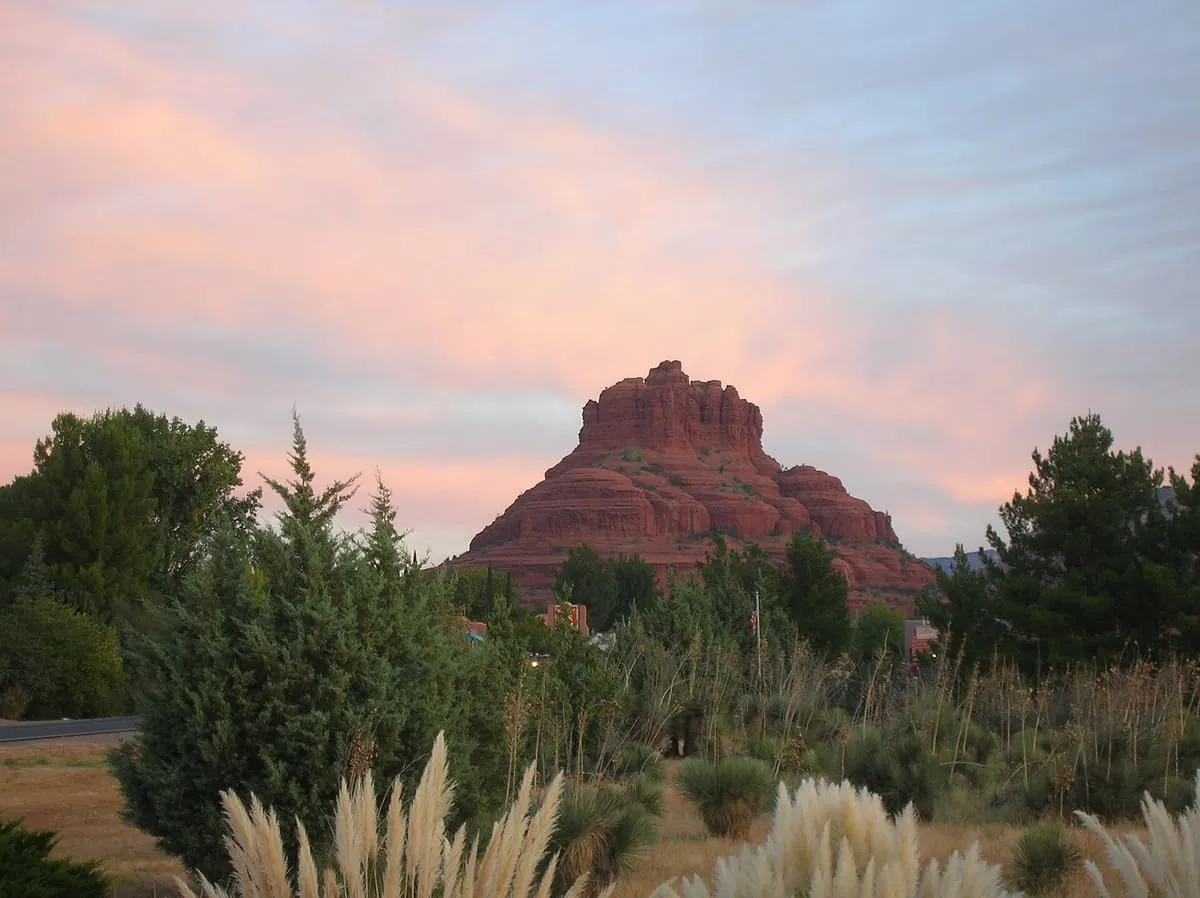
Bell Rock
A butte of 4,919 feet south of Sedona, beside Courthouse Butte, with a moderate route to a plateau on its north-west face.
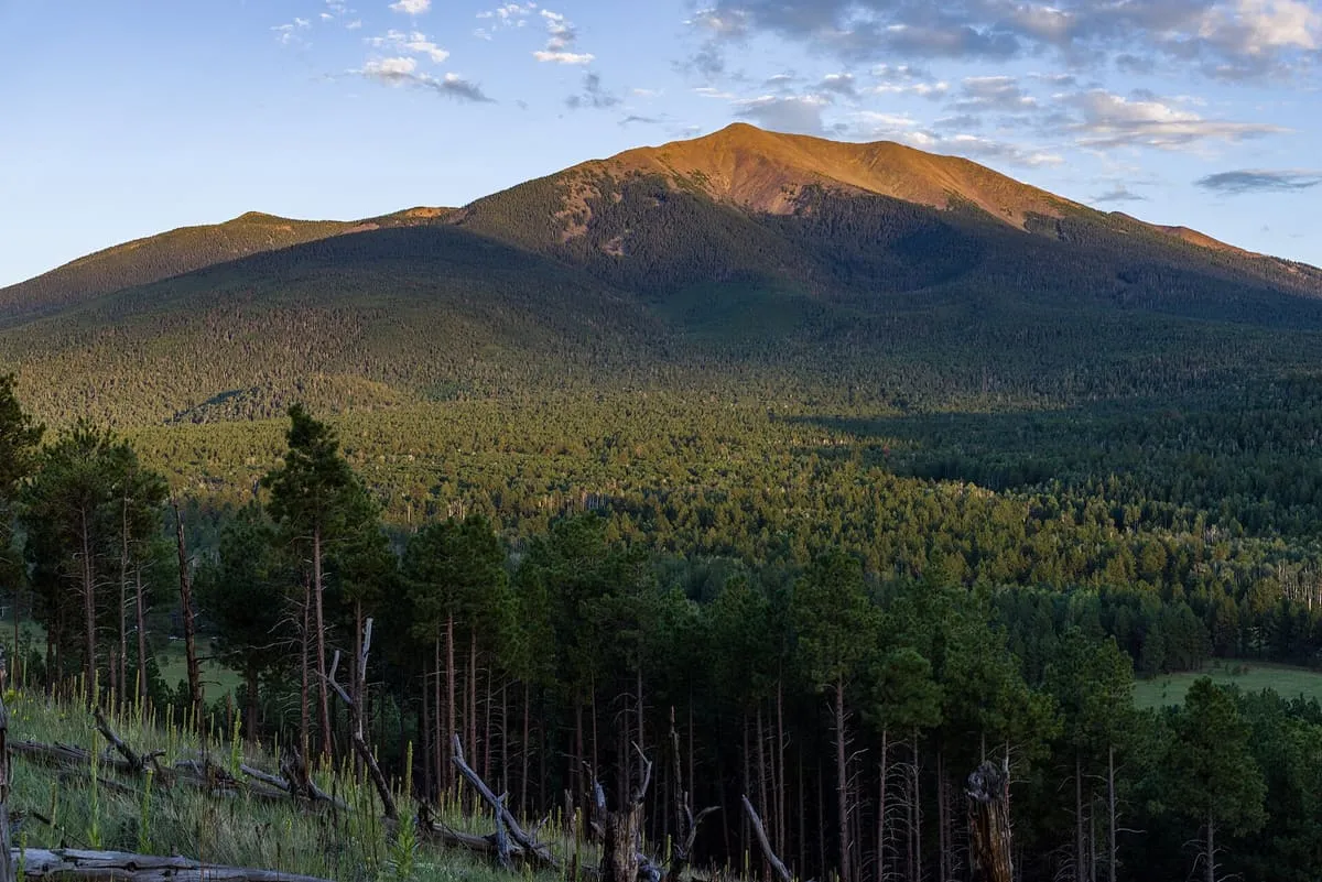
A 1.856-million-acre national forest around Flagstaff and Sedona, rising from desert to Humphreys Peak at 12,633 feet.
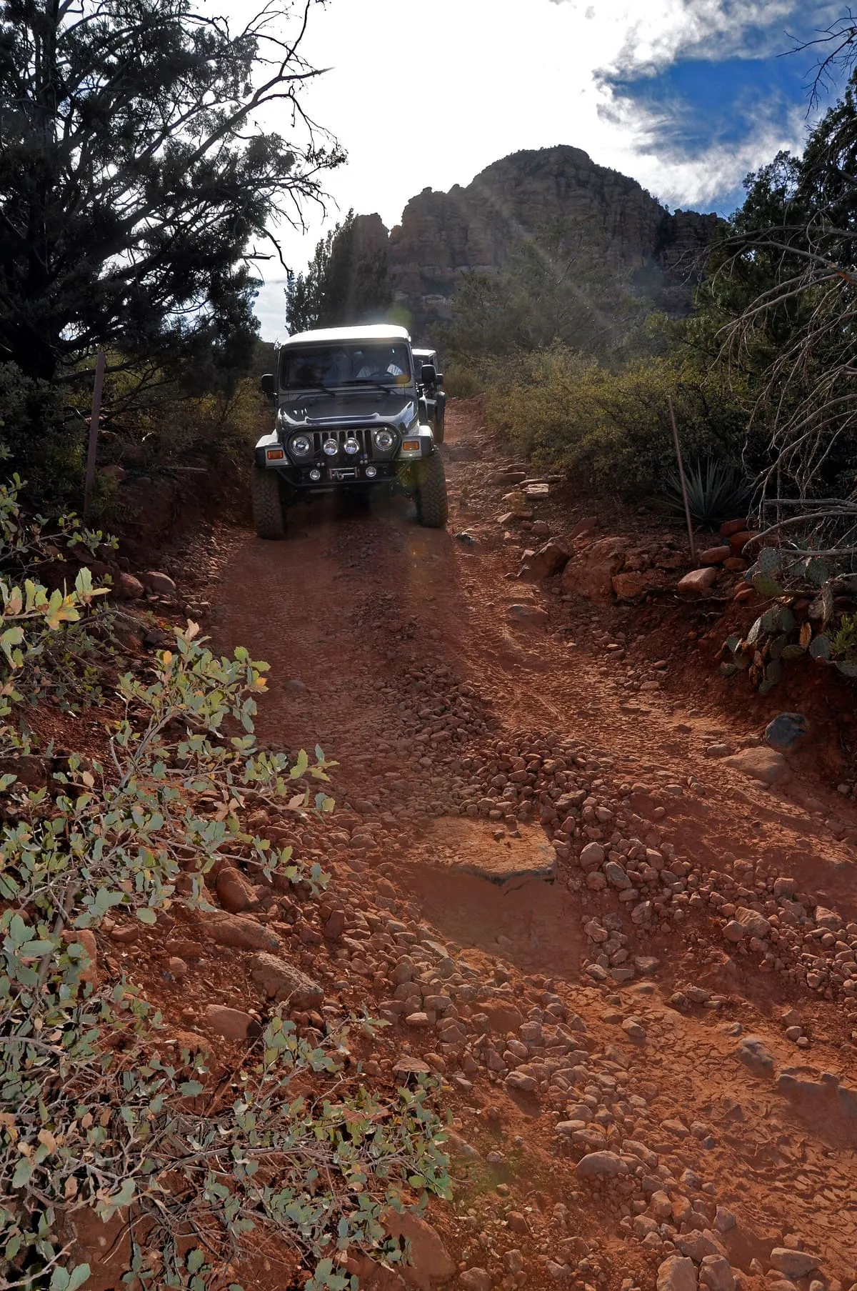
The Coconino National Forest is a United States national forest of 1.856 million acres in northern Arizona, in the vicinity of Flagstaff, with elevations ranging from 2,600 feet to 12,633 feet at Humphreys Peak, the highest point in the state. Established in 1898 as the San Francisco Mountains National Forest Reserve, it was designated a national forest by President Theodore Roosevelt on 2 July 1908, when that reserve was merged with land from other surrounding forest reserves. Its landscapes include deserts, ponderosa pine forests, flatlands, mesas, alpine tundra and ancient volcanic peaks. The forest surrounds the towns of Sedona and Flagstaff and borders four other national forests: the Kaibab to the west and north-west, the Prescott to the south-west, the Tonto to the south and the Apache-Sitgreaves to the south-east. It contains all or part of nine designated wilderness areas, among them the Kachina Peaks Wilderness, which includes the summit of the San Francisco Peaks. Headquartered in Flagstaff, it is divided into the Flagstaff, Mogollon Rim and Red Rock ranger districts.
Coconino National Forest is a natural landmark near Sedona, in Yavapai County. It is one of the natural landmarks in this database, and appears in the statewide ranking of Arizona attractions.
No official visitor count is published for Coconino National Forest, so its score rests on public interest and tourism significance, and is capped below the level a measured attraction can reach. That is why the medium confidence above is not higher. The weighting is explained in full on the methodology page, and every axis is broken out under Facts and sources at the foot of this page.
Note on the data: No official visitor count is published for this attraction.
Record last verified 2026-08-12.
3.0 miles away
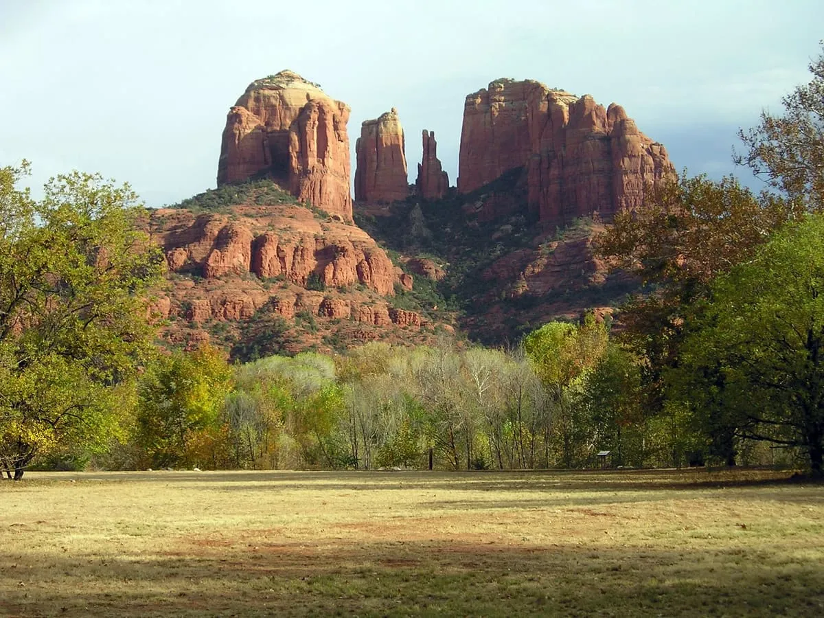
4.6 miles away
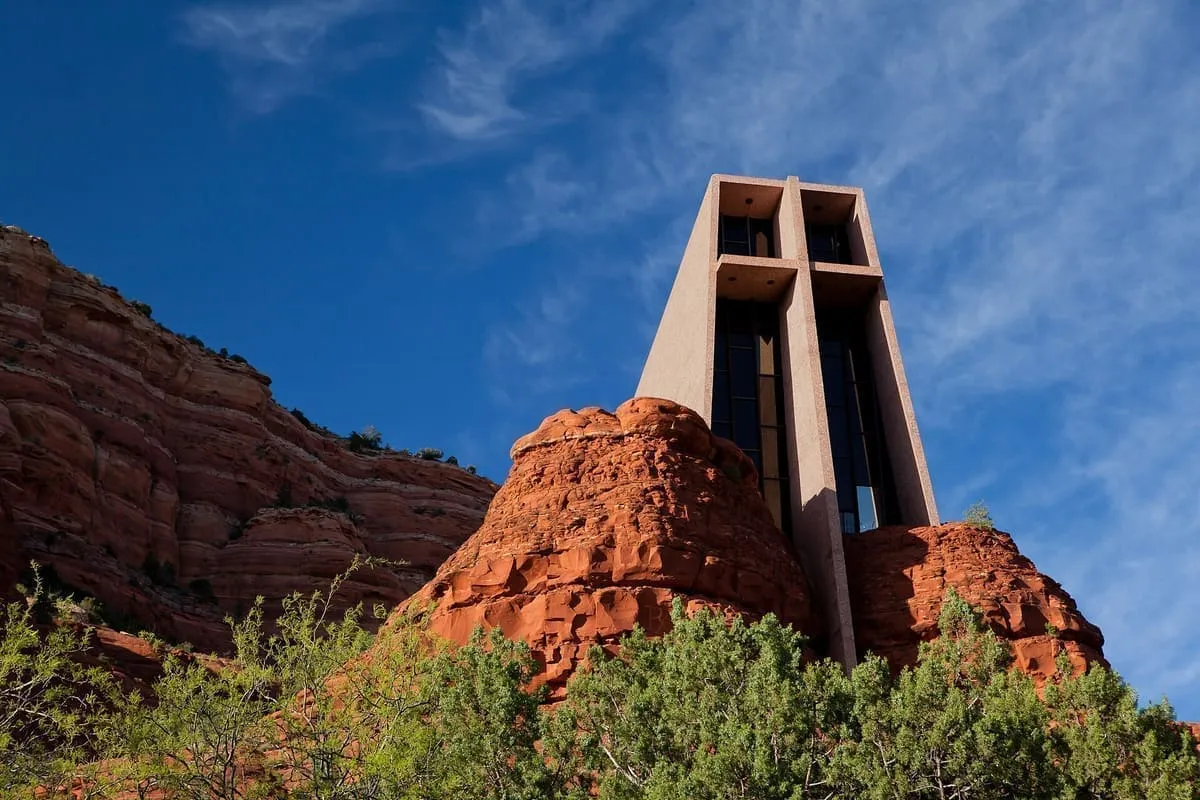
5.2 miles away
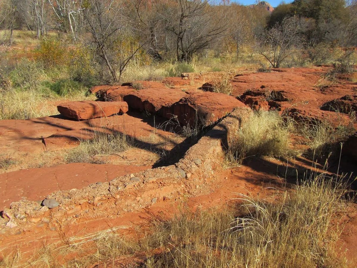
5.3 miles away
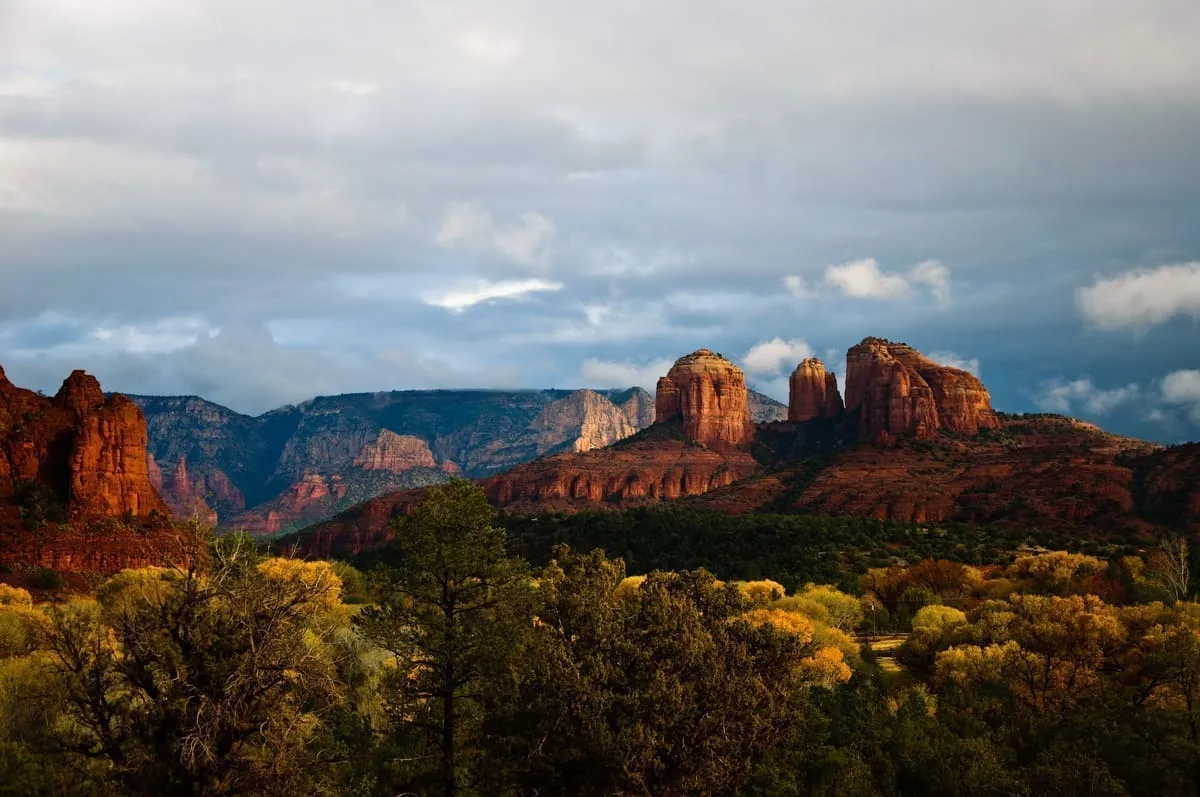
5.4 miles away
6.1 miles away