Home Counties Yavapai County 60 attractions
1 Score 66.6 out of 100 66.6
National Monument
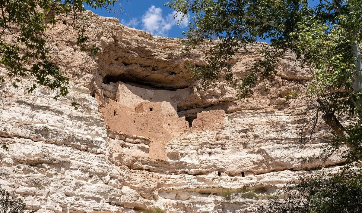
A five-storey Sinagua cliff dwelling at Camp Verde, built by 1125 AD and viewed from the trail below.
2 Score 59.8 out of 100 59.8
National Monument
A 72,344-acre national monument north of Phoenix, holding over 450 recorded Native American structures on Bureau of Land Management land.
3 Score 57.2 out of 100 57.2
Natural Landmark
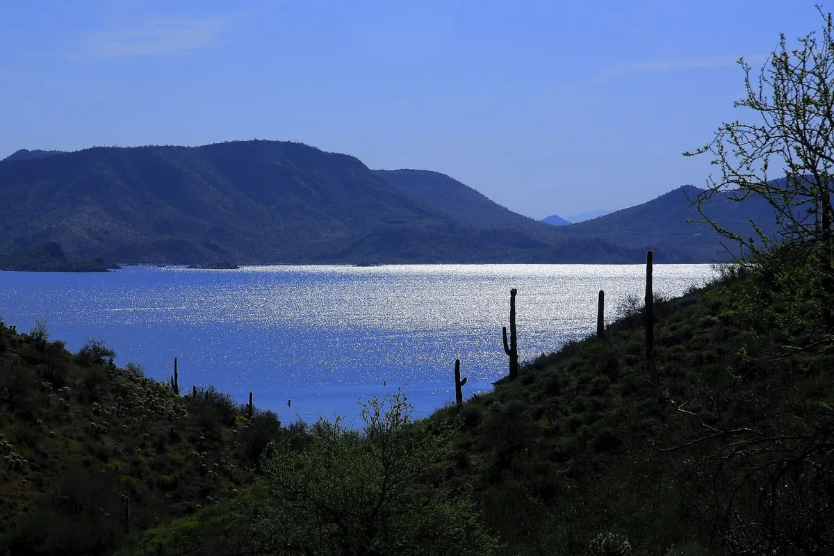
A large recreation area on the Maricopa–Yavapai county line north-west of Phoenix, operated by Maricopa County Parks and Recreation.
4 Score 55.1 out of 100 55.1
Natural Landmark
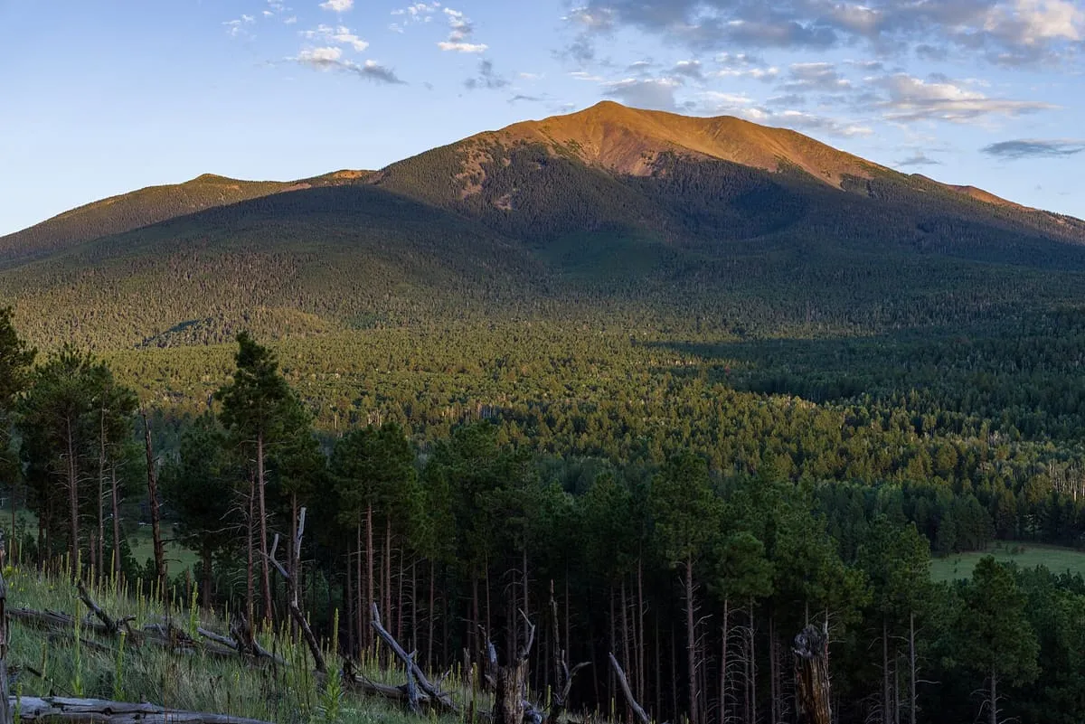
A 1.856-million-acre national forest around Flagstaff and Sedona, rising from desert to Humphreys Peak at 12,633 feet.
5 Score 54.7 out of 100 54.7
Natural Landmark
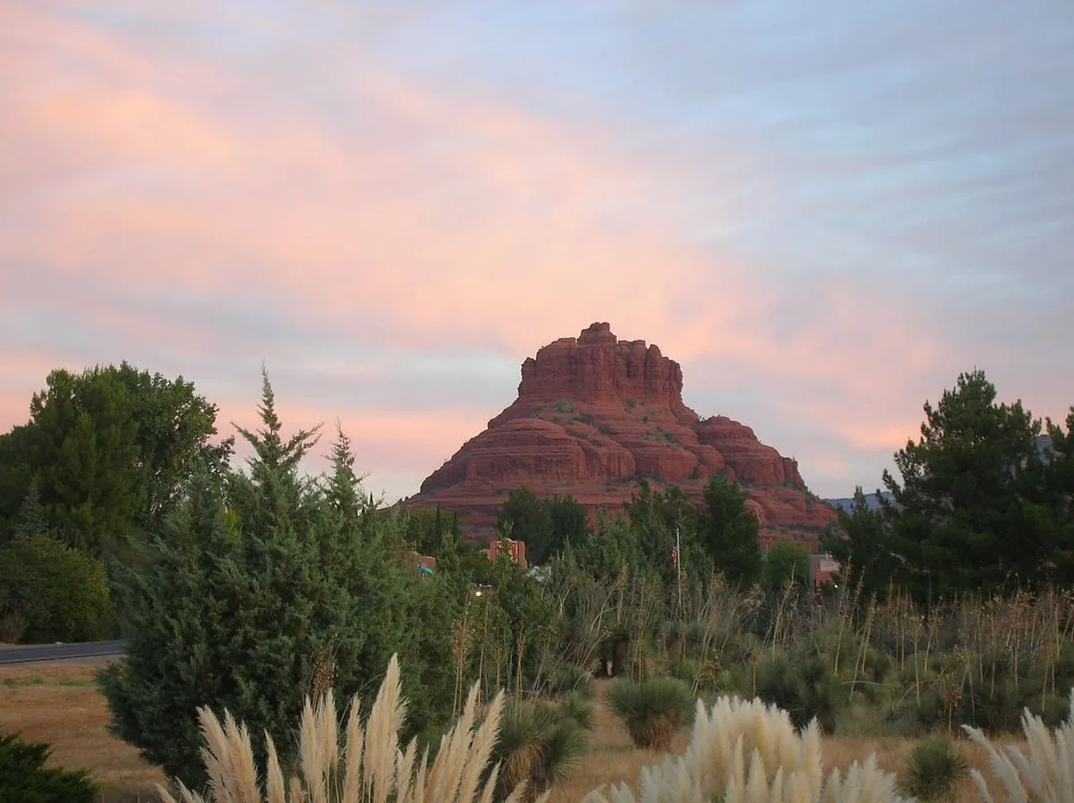
A sandstone butte near Sedona rising to 4,967 feet, reached by a short, steep trail from the Back O' Beyond trailhead.
6 Score 54.5 out of 100 54.5
Natural Landmark
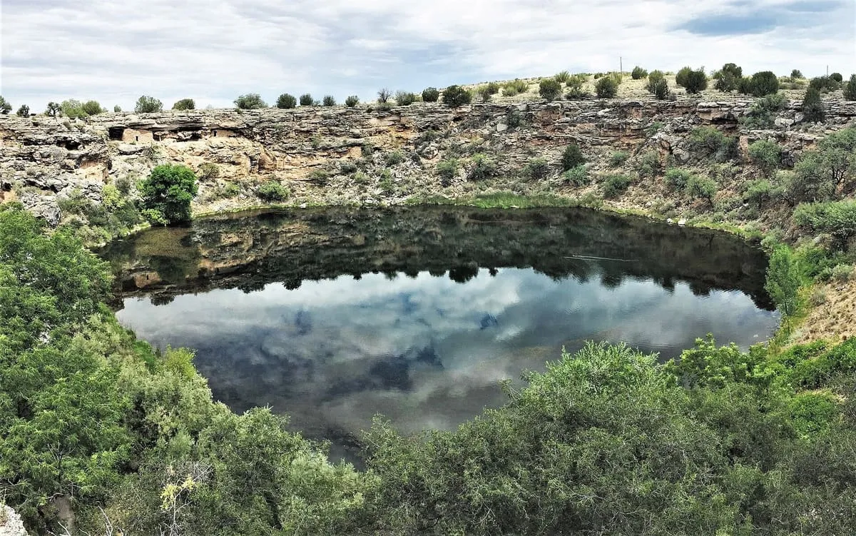
A limestone sinkhole near Lake Montezuma discharging 1.5 million gallons of spring water a day and holding five endemic species.
7 Score 50.5 out of 100 50.5
Landmark
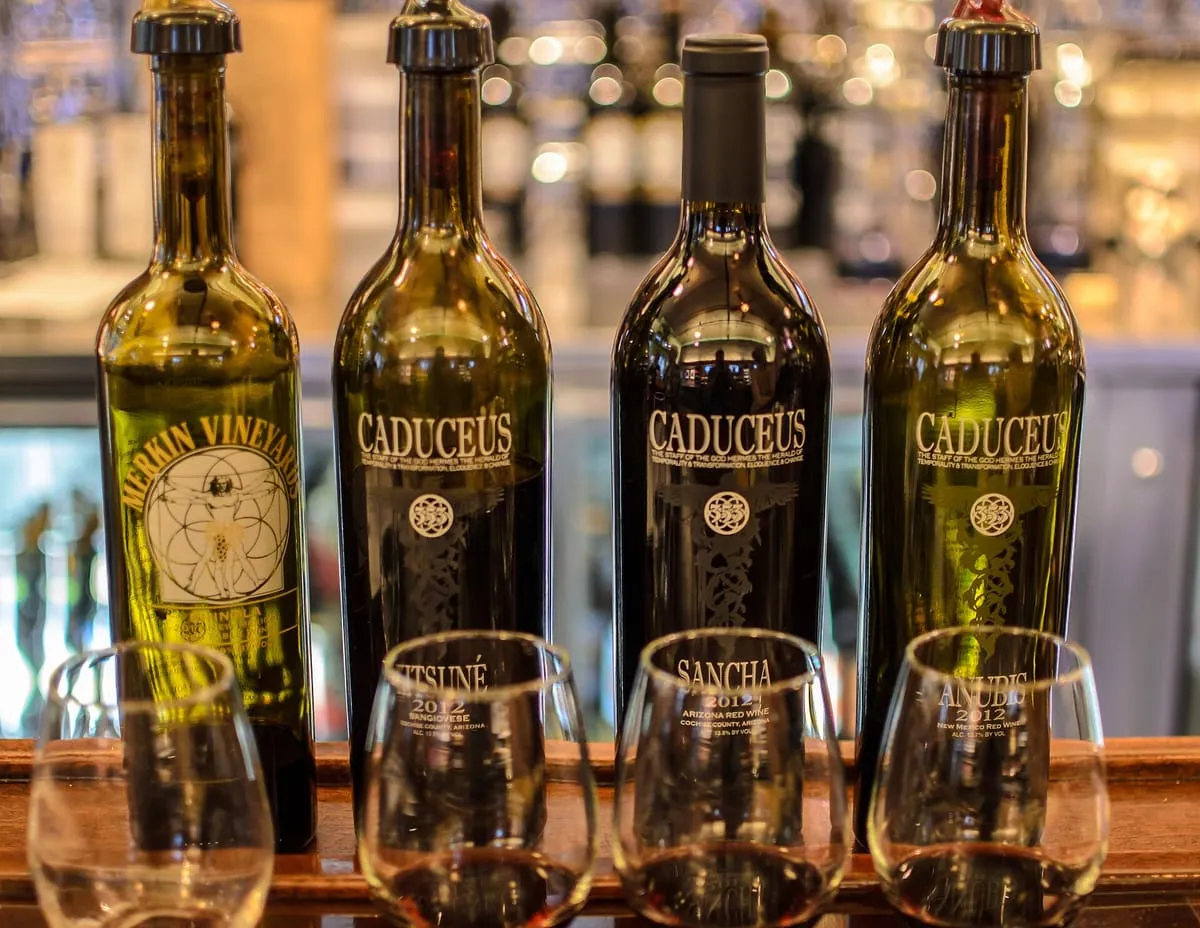
A winery in Jerome owned by Maynard James Keenan, the vocalist of the rock band Tool, and named after the caduceus.
8 Score 49.4 out of 100 49.4
Natural Landmark
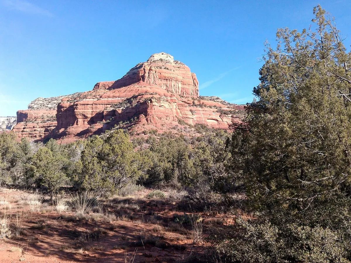
A butte of 4,919 feet south of Sedona, beside Courthouse Butte, with a moderate route to a plateau on its north-west face.
9 Score 49.4 out of 100 49.4
Natural Landmark
A central Arizona valley on the Verde River, overlooked by Mingus Mountain and one of the state's three viticultural regions.
10 Score 49.3 out of 100 49.3
Natural Landmark
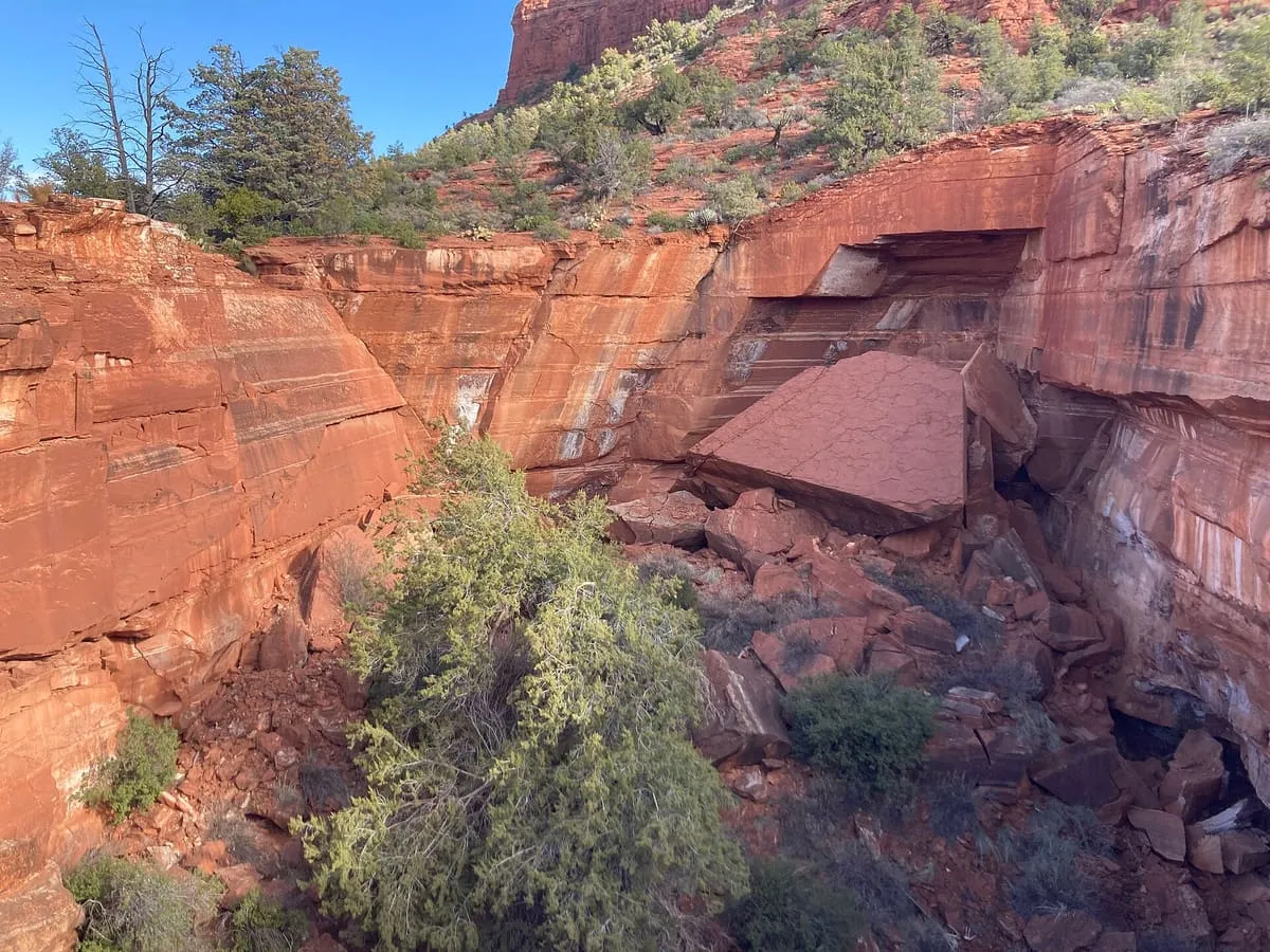
A sinkhole on the Soldier Pass Trail near Sedona, formed in the late 1880s and 840 feet deep including the cave below it.
11 Score 48.3 out of 100 48.3
National Monument
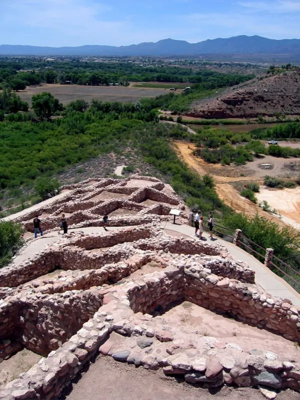
A 110-room hilltop pueblo of stone masonry, built along a limestone ridge above the Verde River floodplain.
12 Score 48.1 out of 100 48.1
Historic Site
A former United States Army post in Arizona, first sited at Del Rio Springs and later moved to a permanent site near Prescott.
13 Score 46.4 out of 100 46.4
Historic Site
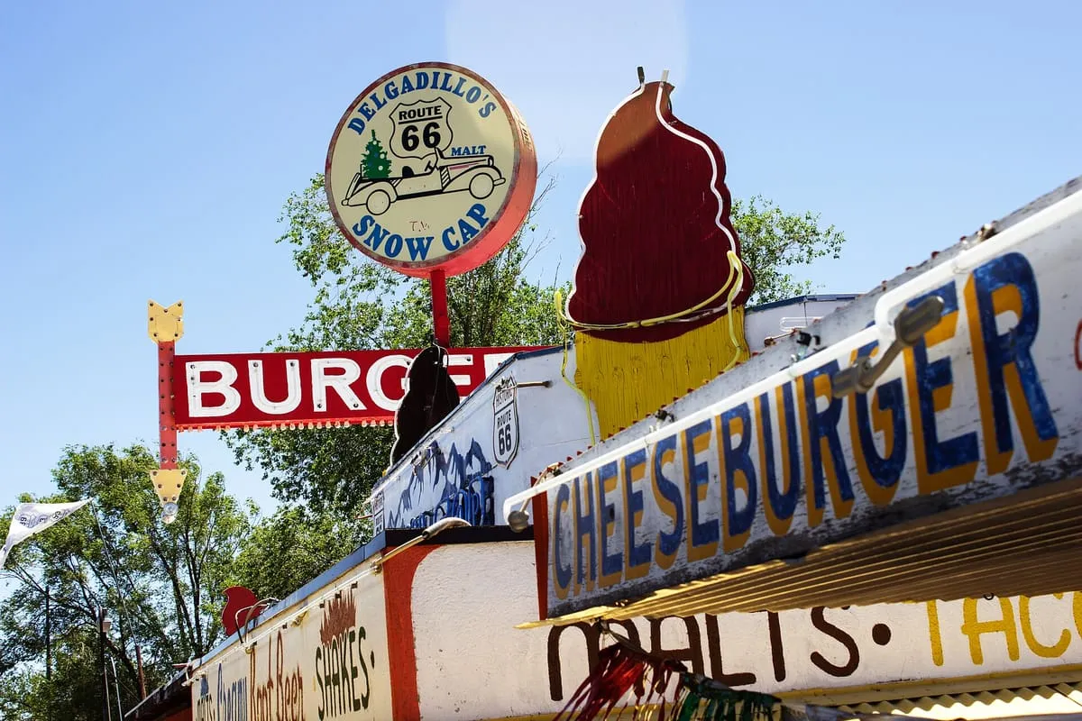
A Route 66 drive-in in Seligman, built in 1953 from railway scrap lumber by Juan Delgadillo and still run by his family.
14 Score 46.3 out of 100 46.3
Natural Landmark
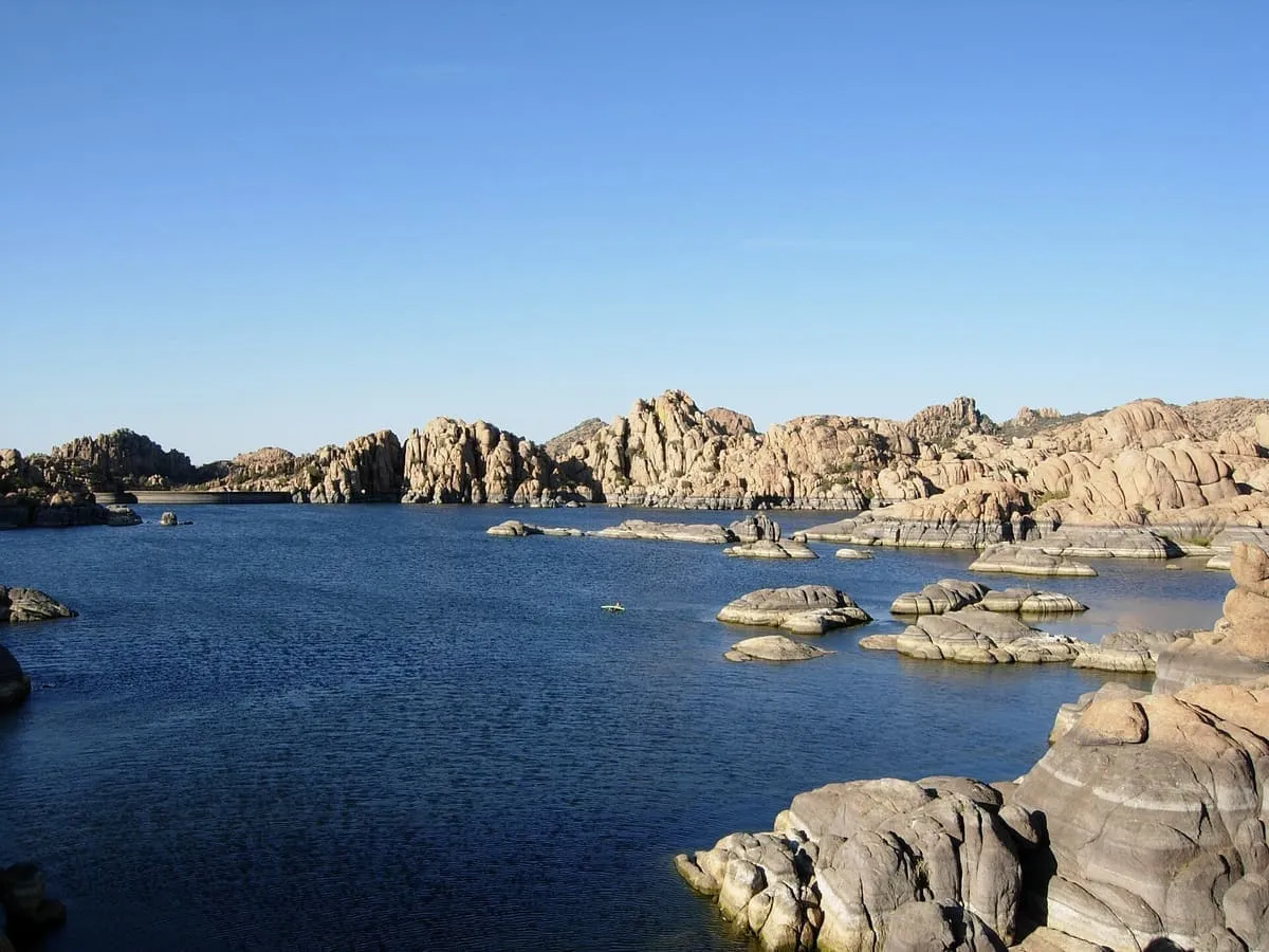
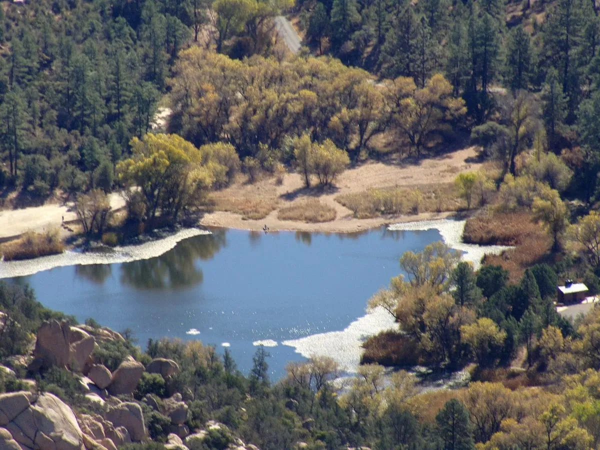
A reservoir among the Granite Dells at Prescott, dammed in the early 1900s and bought by the city in 1997 as recreational land.
15 Score 46.1 out of 100 46.1
Natural Landmark
A mountain range in central Arizona, formerly the Silver Mountain Range, renamed after the brothers Isaac and William D. Bradshaw.
16 Score 45.3 out of 100 45.3
Natural Landmark
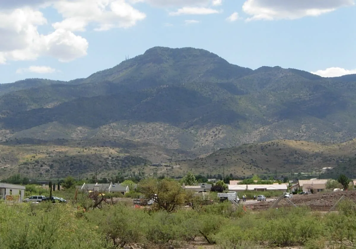
A mountain in the Prescott National Forest between Cottonwood and Prescott, giving views over the Verde Valley.
17 Score 45.0 out of 100 45.0
Historic Site
A ghost town in the Bradshaw Mountains of Yavapai County, named for Bumble Bee Creek and used by campers in winter.
18 Score 43.5 out of 100 43.5
Natural Landmark
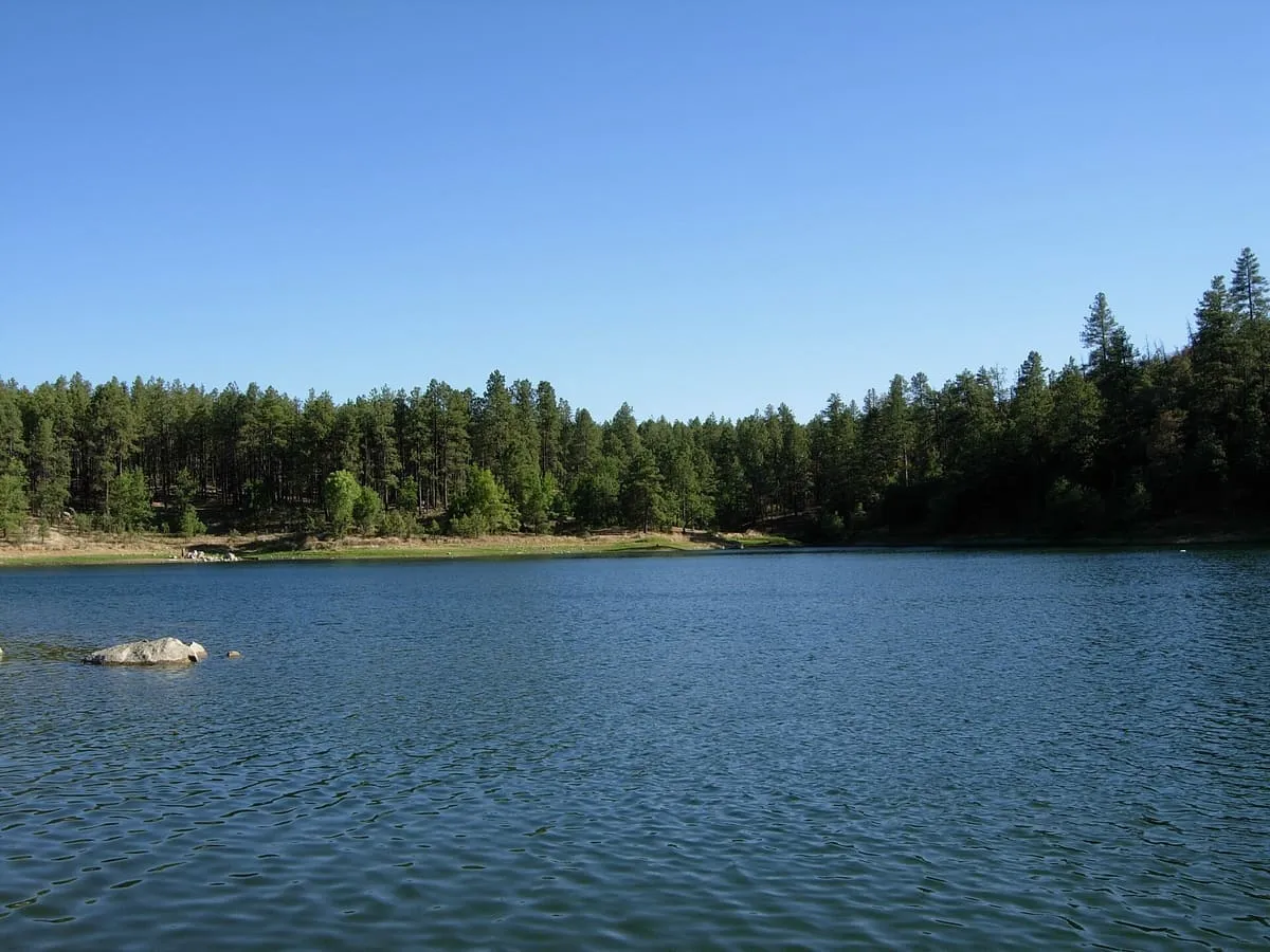
A 55-acre reservoir in the Bradshaw Mountains east of Prescott, formed by a dam on Lynx Creek in 1963 and stocked for fishing.
19 Score 43.5 out of 100 43.5
Historic Site
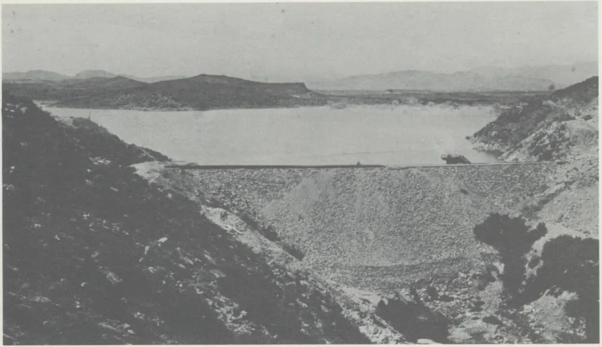
A dam on the Hassayampa River north of Wickenburg, built from 1886 for gold mining, whose failure in 1890 killed over 100 people.
20 Score 43.1 out of 100 43.1
Historic Site
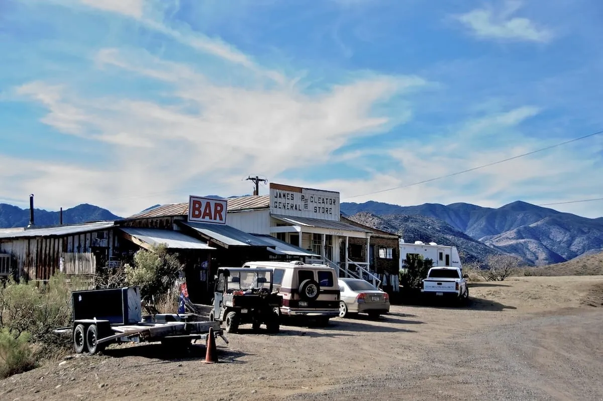
Tip Top is a ghost town in Yavapai County, Arizona, settled in 1876 in what was then Arizona Territory.
21 Score 42.6 out of 100 42.6
Historic Site
A near ghost town and small community in Yavapai County, Arizona, formerly known as Turkey Creek or Turkey.
22 Score 42.6 out of 100 42.6
Natural Landmark
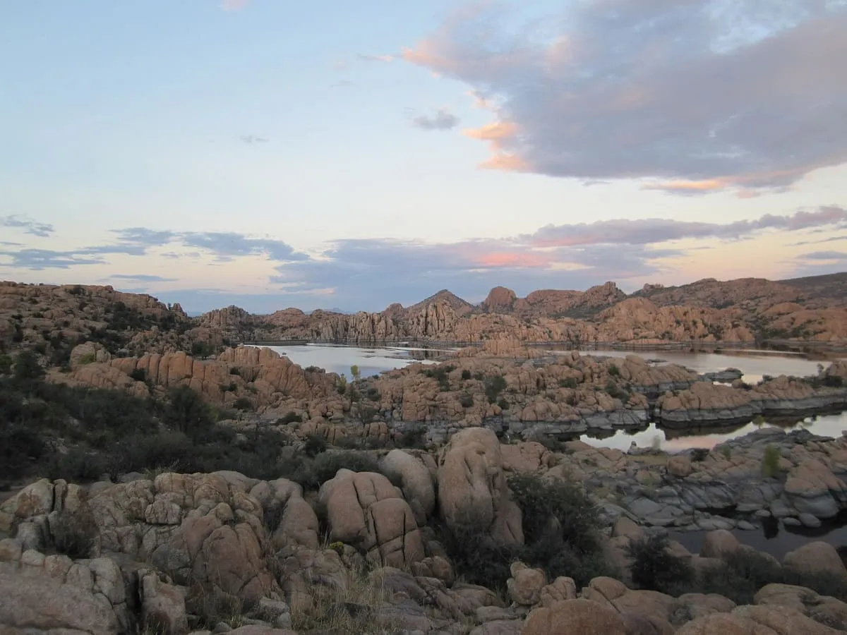
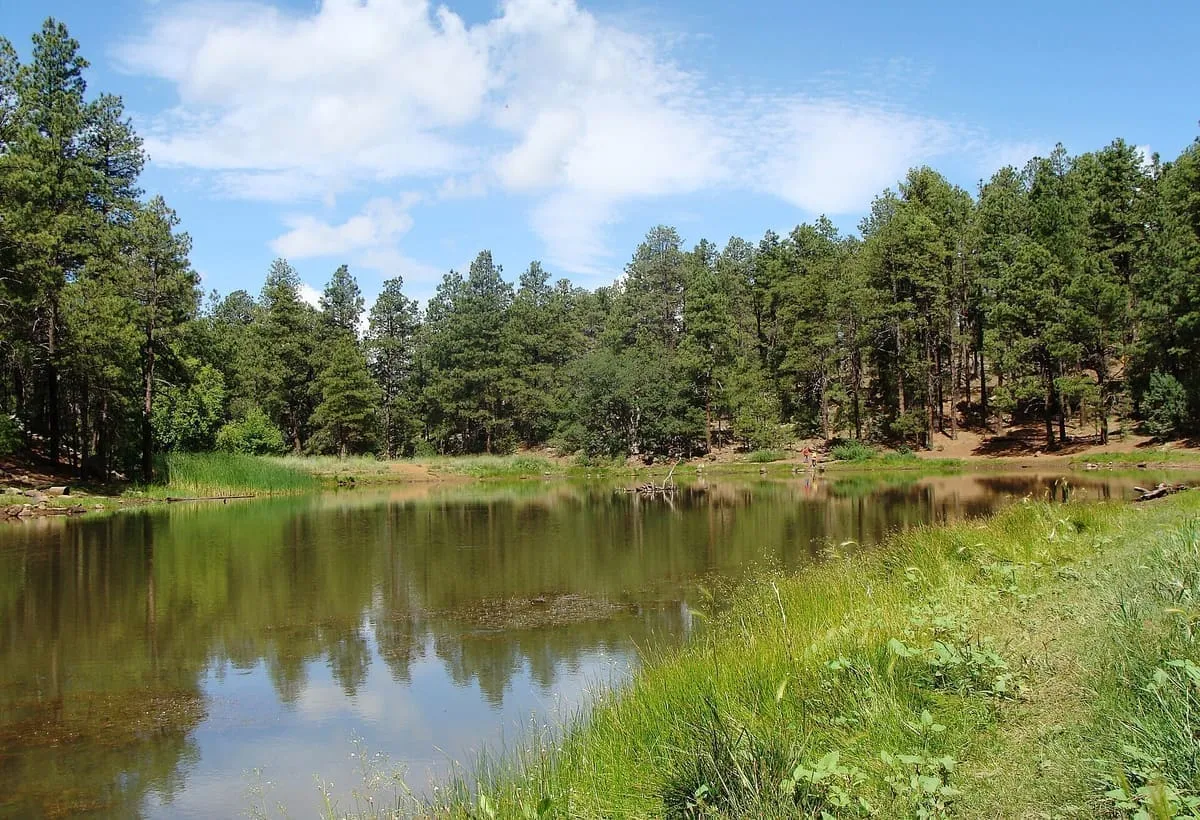
Exposed granite bedrock and boulders north of Prescott, eroded into a rippled form and holding Watson and Willow lakes.
23 Score 41.7 out of 100 41.7
State Park
423 acres on the Verde River at Cottonwood, with ten miles of trail and access to the Dead Horse Trail System.
24 Score 41.6 out of 100 41.6
Natural Landmark
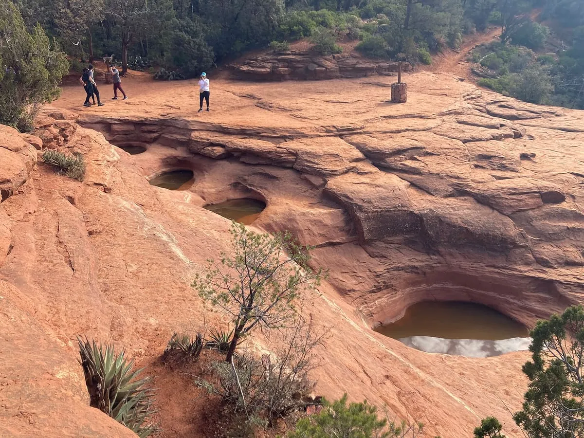
Sandstone tinajas on the Soldier Pass Trail near Sedona, fed by a seasonal stream and named by local Jeep tour guides.
25 Score 41.4 out of 100 41.4
Natural Landmark
A 7,628-foot mountain in the Prescott National Forest, with a sheer 500-foot granite cliff on its south-west face used for rock climbing.
26 Score 41.4 out of 100 41.4
State Park
286 acres of red sandstone canyon south-west of Sedona, kept as a day-use park for the habitat along Oak Creek.
27 Score 41.3 out of 100 41.3
Museum
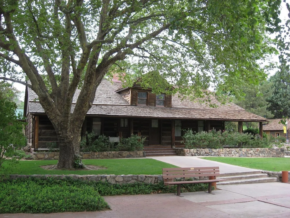
An open-air museum in Prescott, opened in 1928 in the former Territorial Governor's Mansion by its founder, Sharlot M. Hall.
28 Score 41.2 out of 100 41.2
Natural Landmark
A reservoir on Banning Creek south of Prescott, maintained by the city and named after its longtime mayor Morris Goldwater.
29 Score 41.0 out of 100 41.0
Natural Landmark
A 1.25 million-acre national forest around Prescott, divided into the Chino Valley, Bradshaw and Verde ranger districts.
30 Score 40.5 out of 100 40.5
Historic Site
A Sinagua cliff dwelling site near Sedona, with pictographs and petroglyphs dated to between 1100 and 1400 CE.
31 Score 40.2 out of 100 40.2
Natural Landmark
A reservoir near Prescott, within the Prescott National Forest and adjacent to the Granite Mountain Wilderness area.
32 Score 40.1 out of 100 40.1
Zoo or Aquarium
A wildlife park and zoo in Camp Verde, opened in 2005, where exotic animals roam in habitats larger than a traditional zoo's.
33 Score 40.1 out of 100 40.1
Natural Landmark
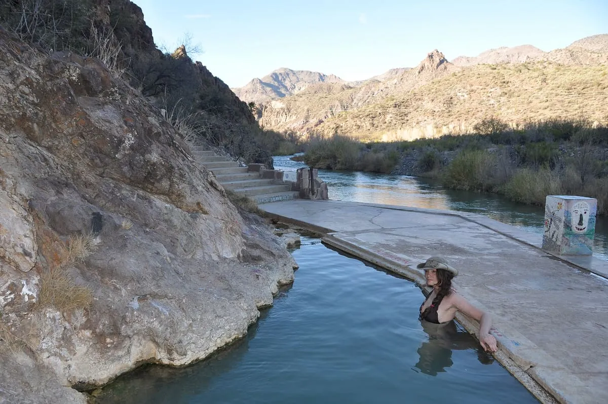
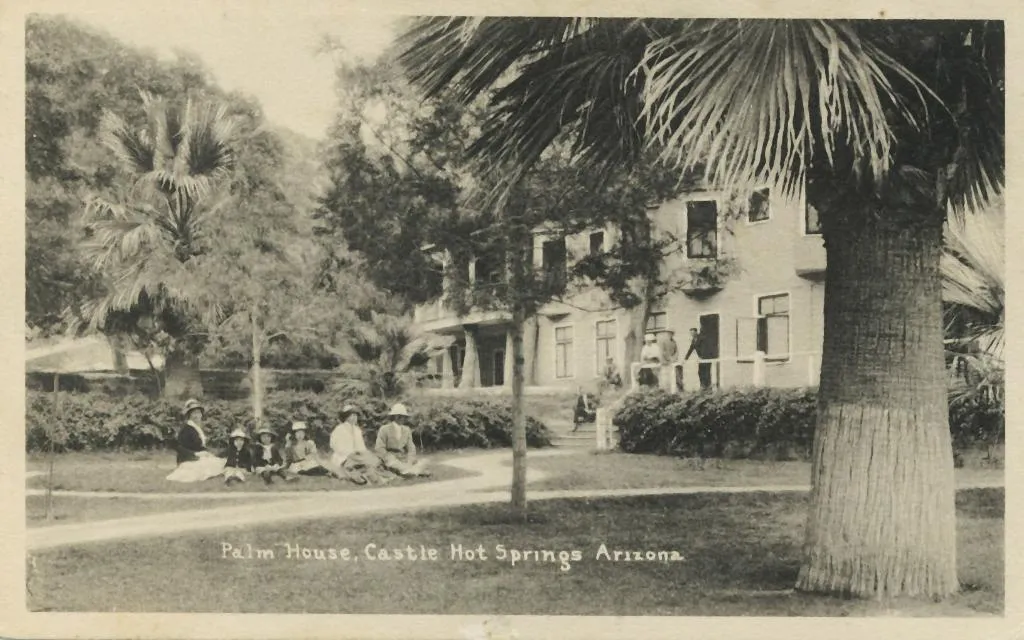
A group of thermal mineral springs on the western bank of the Verde River near Camp Verde, beside the ruins of a former resort.
34 Score 40.0 out of 100 40.0
Natural Landmark
A mountain range 14 miles long west of Prescott, with the 6,514-foot volcanic plug of Thumb Butte on the city's western edge.
35 Score 39.9 out of 100 39.9
Historic Site
A ghost town in Yavapai County, Arizona, established in 1862 and lying twelve miles south-east of Prescott.
36 Score 39.7 out of 100 39.7
Historic Site
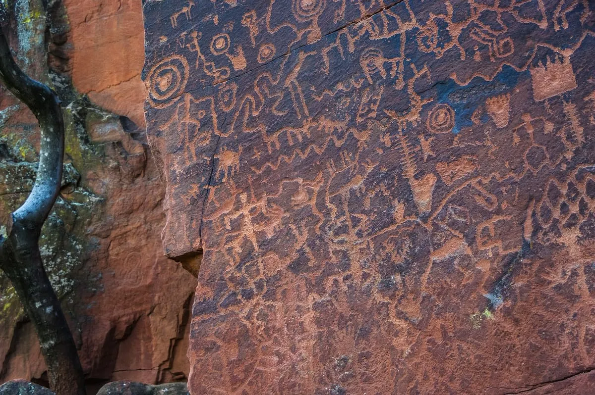
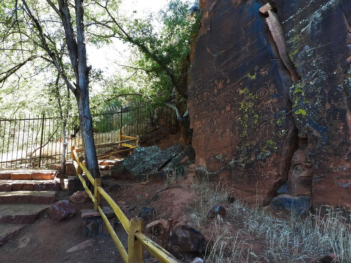
The largest known petroglyph site in the Verde Valley, with 1,032 petroglyphs in 13 panels, held by the Coconino National Forest.
37 Score 36.9 out of 100 36.9
State Historic Park
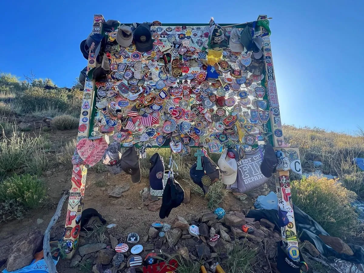
A state park at the site where nineteen Granite Mountain Hotshots died fighting the Yarnell Hill Fire in 2013.
38 Score 36.0 out of 100 36.0
Landmark
A restored resort in the Hieroglyphic Mountains at Morristown, opened in 1896 and listed on the National Register of Historic Places.
39 Score 31.7 out of 100 31.7
State Historic Park
An Arizona state park in the mining town of Jerome, built around the 1916 Douglas Mansion and its museum.
40 Score 30.2 out of 100 30.2
Zoo or Aquarium
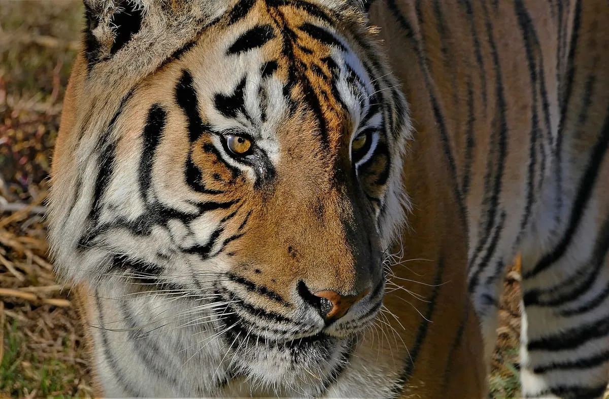
A non-profit Prescott animal sanctuary, also known as the Prescott Animal Park Association, protecting native and exotic species.
41 Score 30.0 out of 100 30.0
Museum
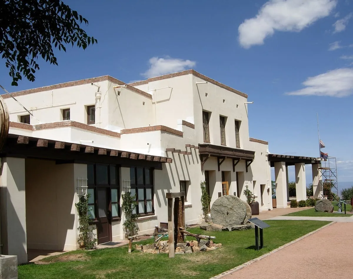
Camp Verde's archaeology museum, founded in 2010, covers Sinagua culture and hosts an annual archaeology fair and film festival.
42 Score 26.4 out of 100 26.4
Canyon
Boynton Canyon is a box canyon located near the town of Sedona, in Yavapai County, in the U.S. state of Arizona.
43 Score 25.5 out of 100 25.5
Historic Site
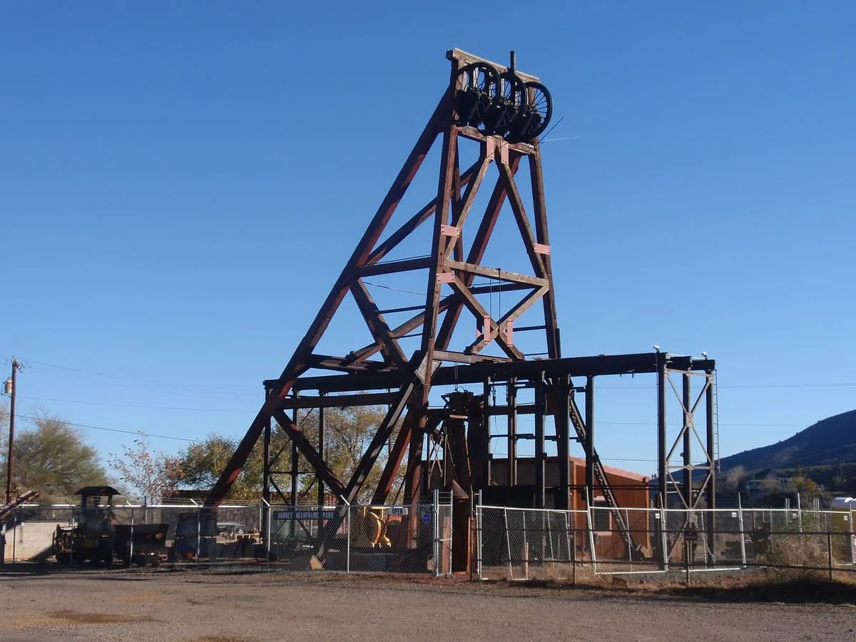
A Jerome mining park with Arizona's largest standing wooden headframe over a 1,900-foot shaft, viewable through a glass platform.
44 Score 25.5 out of 100 25.5
Natural Landmark
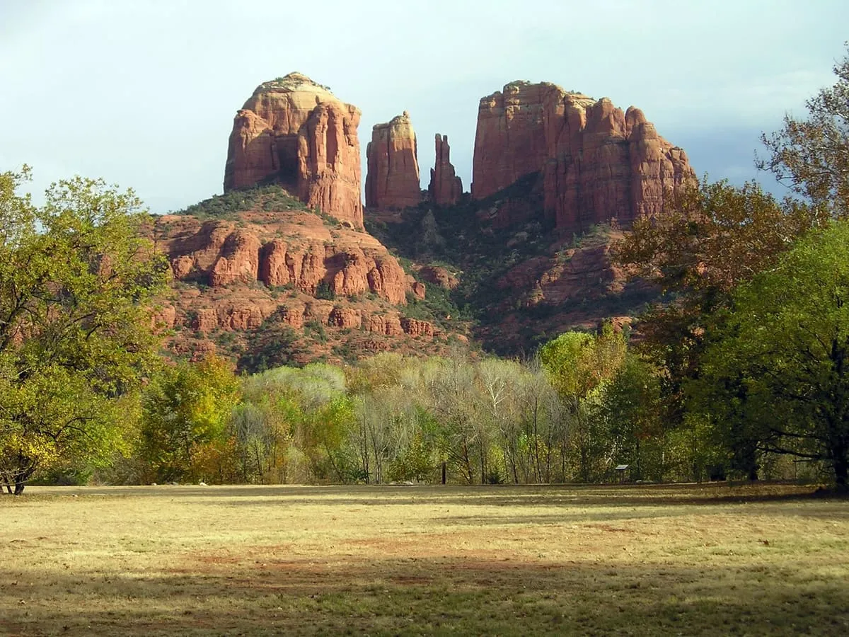
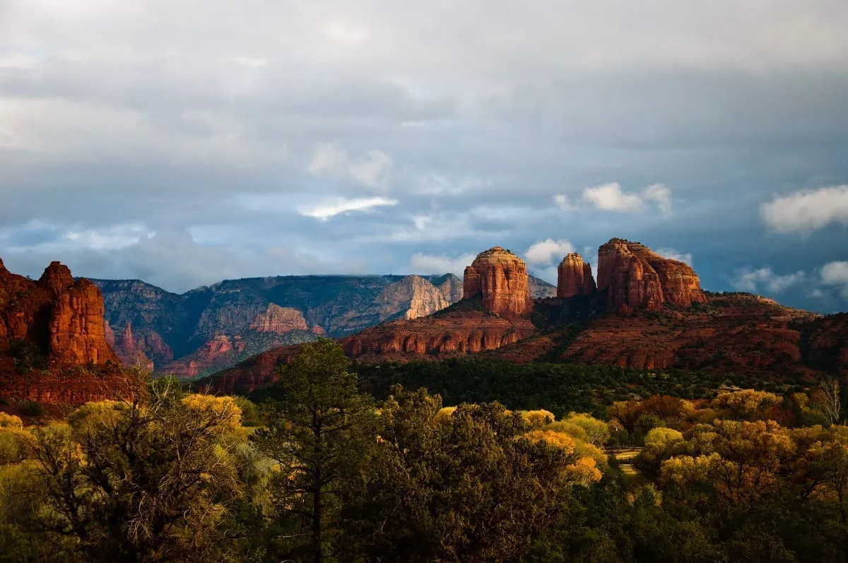
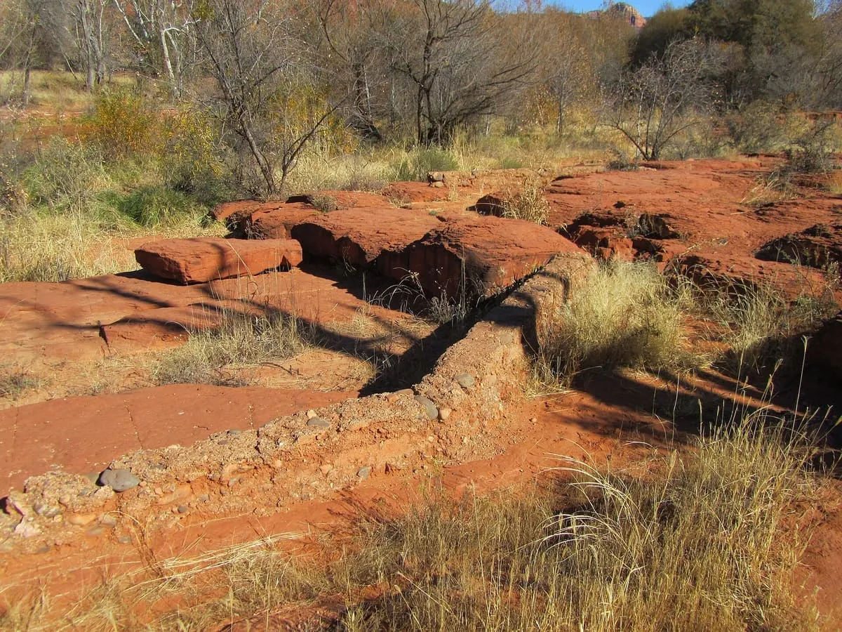
A Coconino National Forest day-use area on Oak Creek at Red Rock Crossing, where the water reflects Cathedral Rock — a view the Forest Service describes as one of the most photographed scenes in the Southwest. Paved paths run through picnic grounds to shallow water people wade and fish in, and a day-use fee applies. The site was a working cattle ranch; its buildings and waterwheel remain, and the ranch house is rented out by the Forest Service.
45 Score 25.5 out of 100 25.5
Natural Landmark
A Sedona-area hiking trail leading to Devil's Bridge, described as the largest natural sandstone arch in the area.
46 Score 25.5 out of 100 25.5
Historic Site
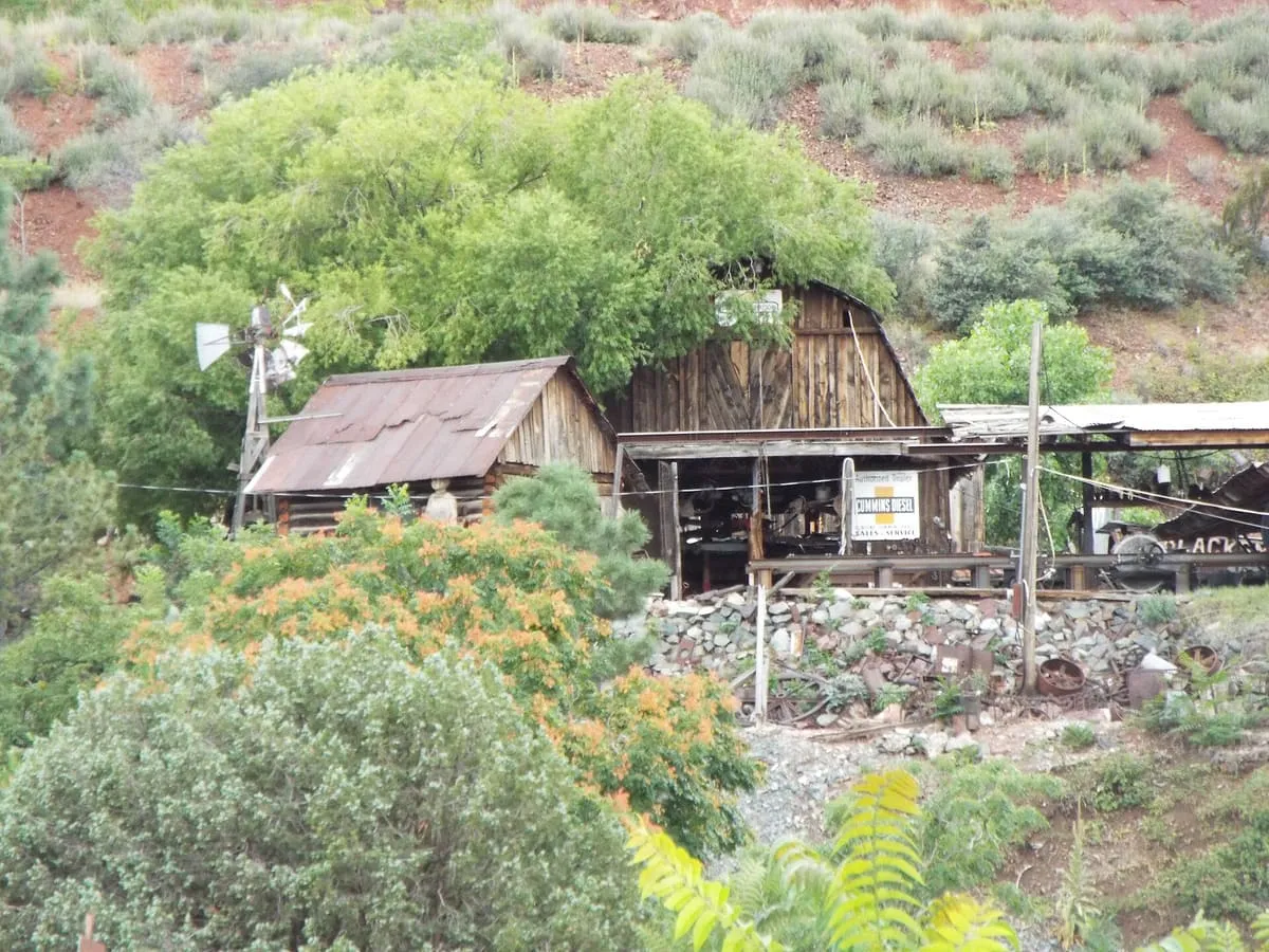
Gold King Mine Ghost Town, near Jerome, Yavapai County, Arizona, preserves the grounds of a former mine, with gold panning offered on-site.
47 Score 25.5 out of 100 25.5
Historic Site
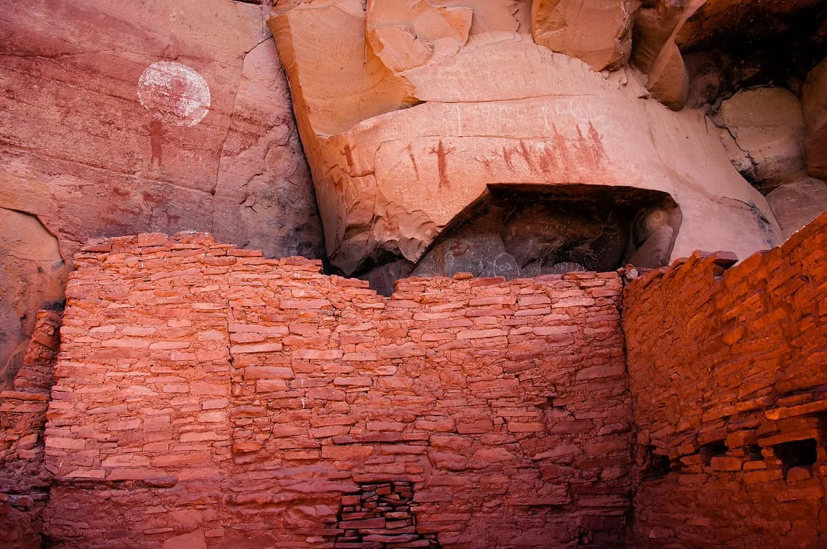
A Sinagua cliff dwelling near Sedona with numerous pictographs, inhabited from about 1100 to 1300 CE and managed by the Coconino National Forest.
48 Score 25.5 out of 100 25.5
Historic Site
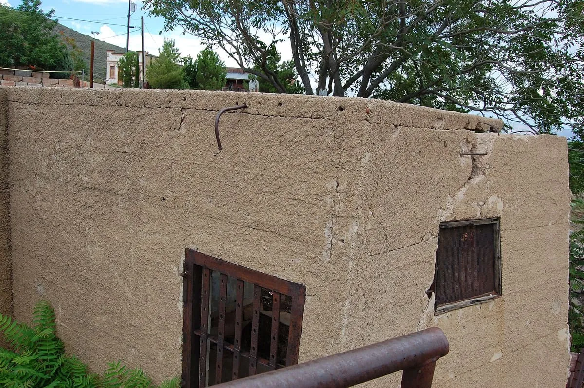
Jerome's Sliding Jail, in Jerome, Arizona.
49 Score 25.5 out of 100 25.5
Natural Landmark
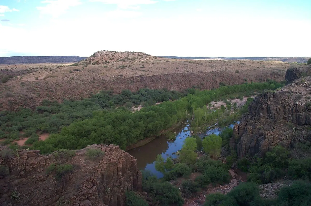
A perennial pool on Wet Beaver Creek where the Bell Trail crosses it, three miles into the Wet Beaver Wilderness.
50 Score 24.6 out of 100 24.6
State Natural Area
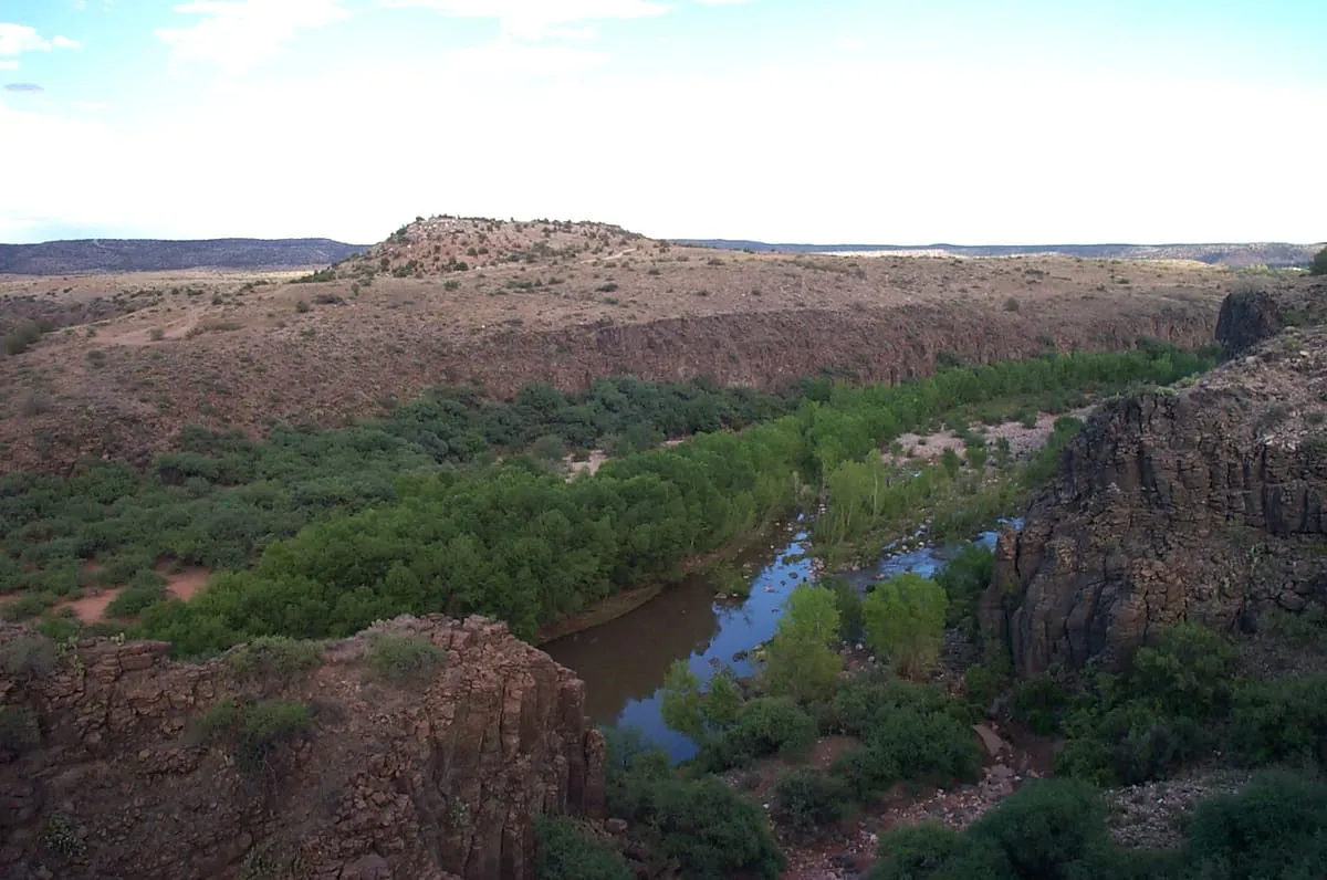
Almost 1,000 acres of riparian habitat along the Verde River at Cottonwood, run as a unit of Dead Horse Ranch State Park.
51 Score 24.2 out of 100 24.2
Museum
A Yavapai County Route 66 museum owned by Angel Delgadillo, whose account of the highway's bypass inspired a scripted film flashback.
52 Score 24.2 out of 100 24.2
Museum
Ash Fork Route 66 Museum, in Ash Fork, Arizona.
53 Score 24.2 out of 100 24.2
Museum
A Prescott, Arizona nature centre with three miles of trails, offering lectures, workshops, and summer camps for children and families.
54 Score 24.2 out of 100 24.2
Museum
John Bell Railroad Museum, in Cottonwood, Arizona.
55 Score 24.2 out of 100 24.2
Museum
The Mine Museum, in Jerome, Yavapai County, Arizona, covers the town's mining history and has an onsite gift shop.
56 Score 24.2 out of 100 24.2
Museum
A Prescott museum of regional Native American history and culture, founded in 1935 out of a settler group that had staged imitation Hopi rituals.
57 Score 24.2 out of 100 24.2
Museum
The Phippen Museum of Western Art, in Prescott, Arizona, is named after artist George Phippen and hosts exhibits of western art.
58 Score 22.6 out of 100 22.6
State Historic Park
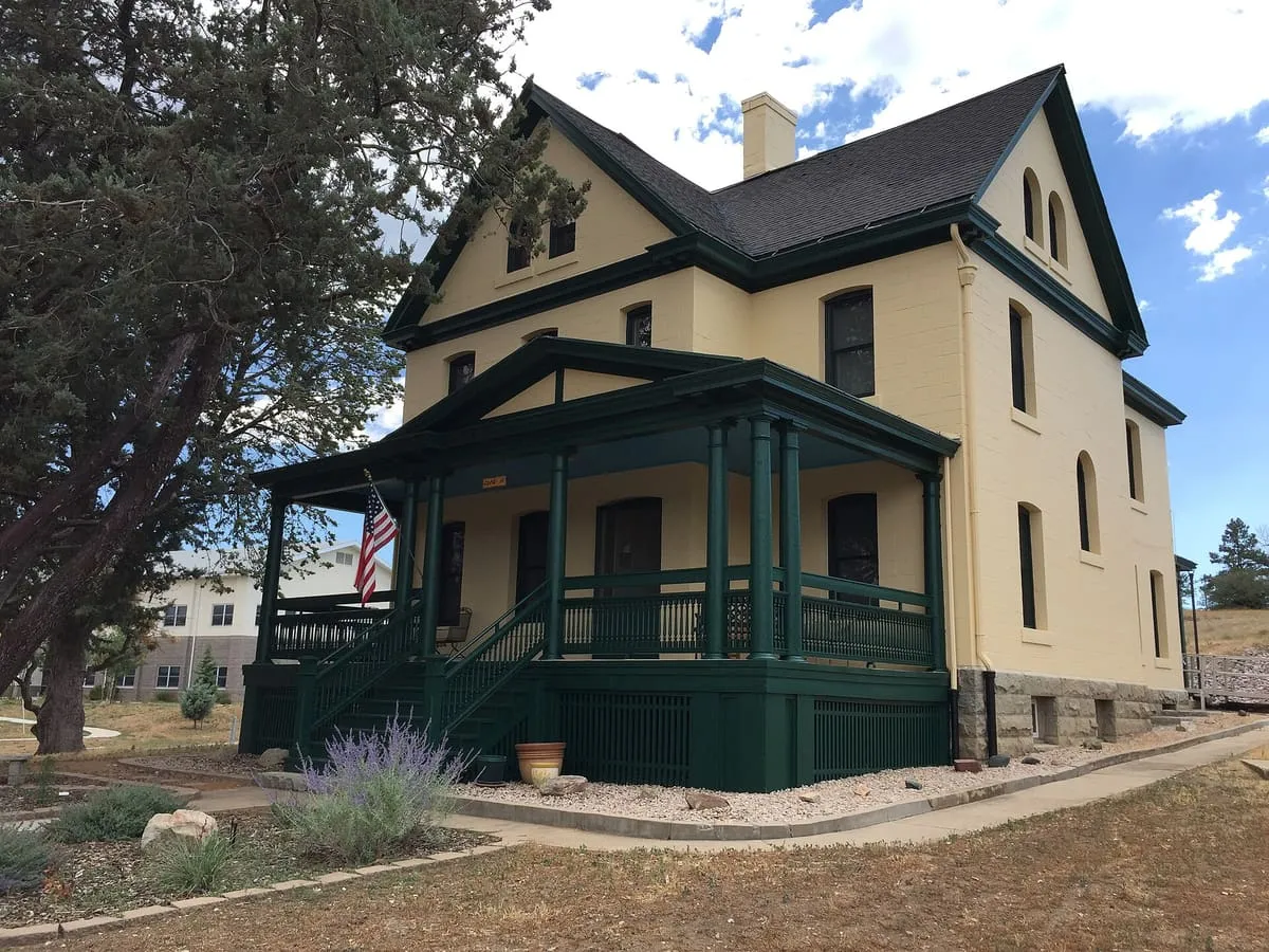
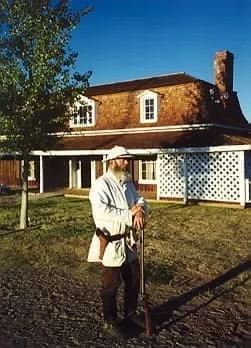
A small Arizona state park in Camp Verde preserving parts of an Apache Wars-era fort as it stood in the 1880s.
59 Score 19.8 out of 100 19.8
Landmark
Riverfront Park, Cottonwood's largest municipal park in Yavapai County, Arizona, has a dog park, disc golf course, and riverside walking trail.
60 Score 19.8 out of 100 19.8
Landmark
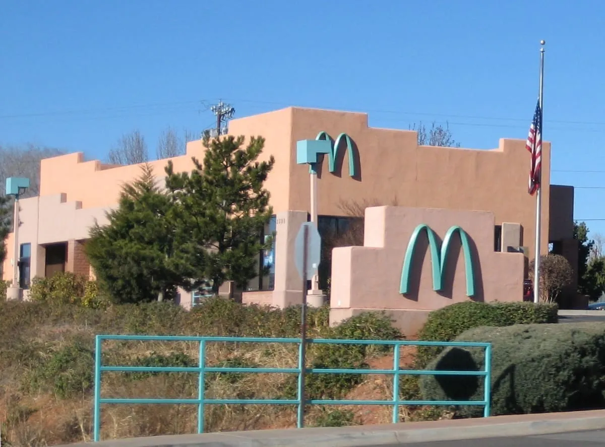
The only McDonald's in the world with turquoise arches rather than yellow ones. Sedona's building rules require development to sit quietly against the red rock, so when the restaurant opened in April 1993 the city refused the standard yellow and the franchise built it in turquoise instead. Tour buses stop here and people climb the arches to be photographed under them.