5.5 miles away
Onyx Cave
A half-mile solutional cave in Permian limestone in the Santa Rita Mountains, designated a National Natural Landmark in 1974.
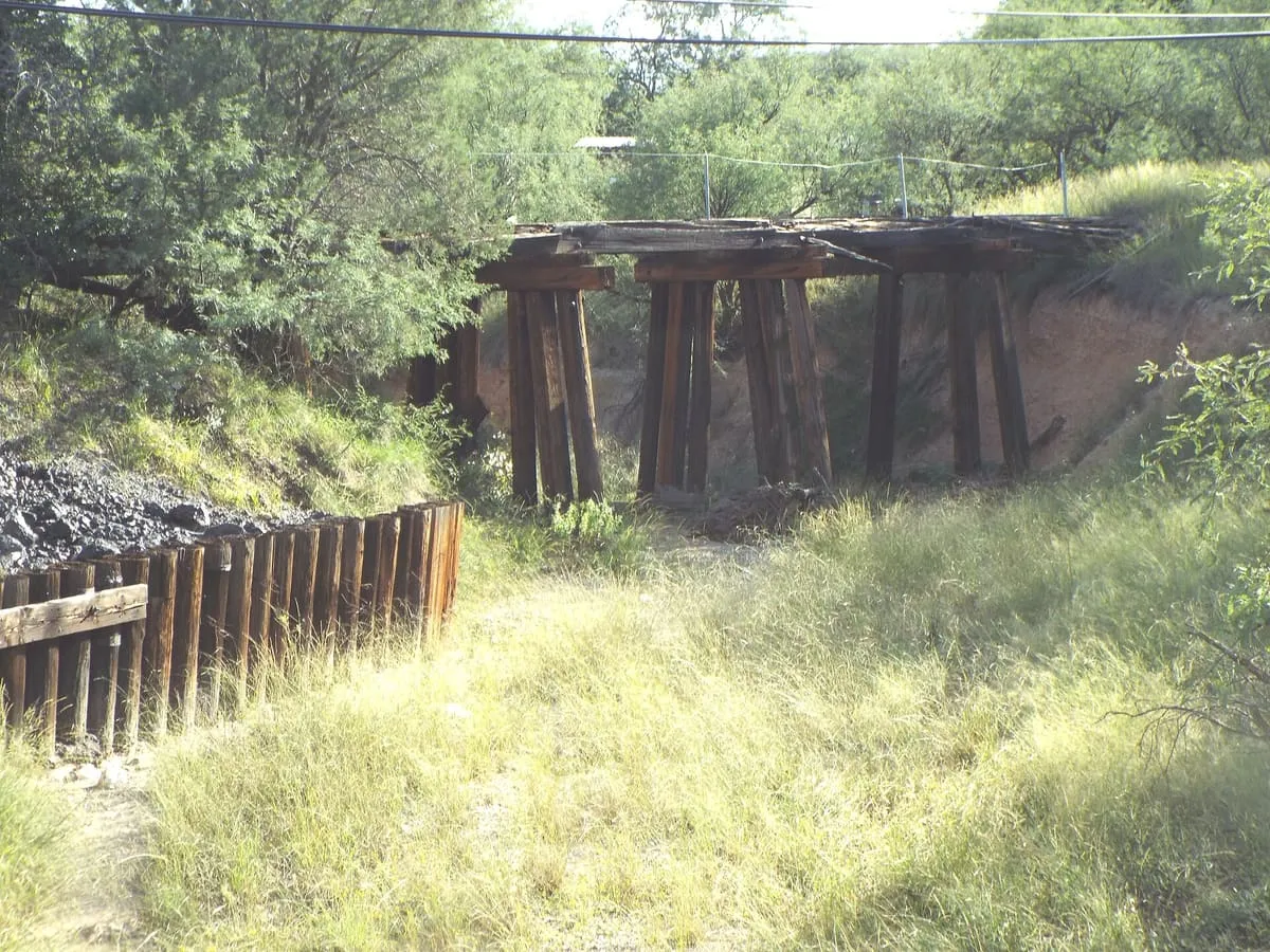
An 1856 US Army post south-west of Sonoita, burned by Apaches in 1865 and abandoned; its ruins were rediscovered in 1929.
Fort Buchanan was a United States Army post founded in 1856 three miles south-west of present-day Sonoita, in what is now Santa Cruz County, Arizona, on the east slope of Hog Canyon. Lieutenant George Nicholas Bascom and his patrol were based at the fort during the Bascom affair of early 1861, which began full-scale war with the local Chiricahua Apache. The post was officially abandoned later that year, though troops of the California Column occasionally manned it during the American Civil War. In February 1865 Apaches attacked and burned the fort in the Battle of Fort Buchanan, forcing its small garrison to retreat, and it was then abandoned for good; Fort Crittenden was established half a mile east on the flats in 1867. The ruins were lost for years and were rediscovered in 1929 by Harry J. Karns, mayor of Nogales, and W. A. O'Connor, an Arizona Superior Court judge.
Fort Buchanan is a historic site near Sonoita, in Santa Cruz County. It is one of the historic sites in this database, and appears in the statewide ranking of Arizona attractions.
No official visitor count is published for Fort Buchanan, so its score rests on public interest and tourism significance, and is capped below the level a measured attraction can reach. That is why the medium confidence above is not higher. The weighting is explained in full on the methodology page, and every axis is broken out under Facts and sources at the foot of this page.
Note on the data: No official visitor count is published for this attraction.
Record last verified 2026-08-12.
5.5 miles away
5.6 miles away
8.7 miles away
9.6 miles away
9.8 miles away
11 miles away