Home Categories Historic Sites 168 historic sites
1 Score 73.3 out of 100 73.3
Historic Site
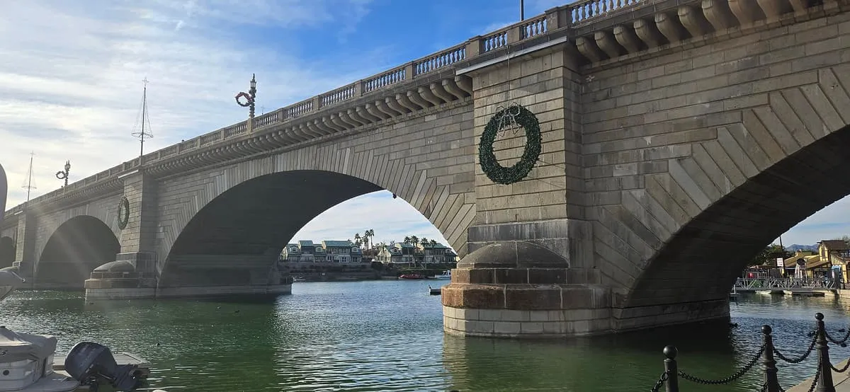
The 1830s Thames bridge bought from the City of London in 1968 and rebuilt at Lake Havasu City in 1971.
2 Score 69.7 out of 100 69.7
Historic Site
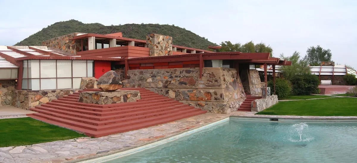
Frank Lloyd Wright's winter home and studio in Scottsdale, built from 1938 and now a National Historic Landmark and World Heritage Site.
3 Score 67.5 out of 100 67.5
Historic Site
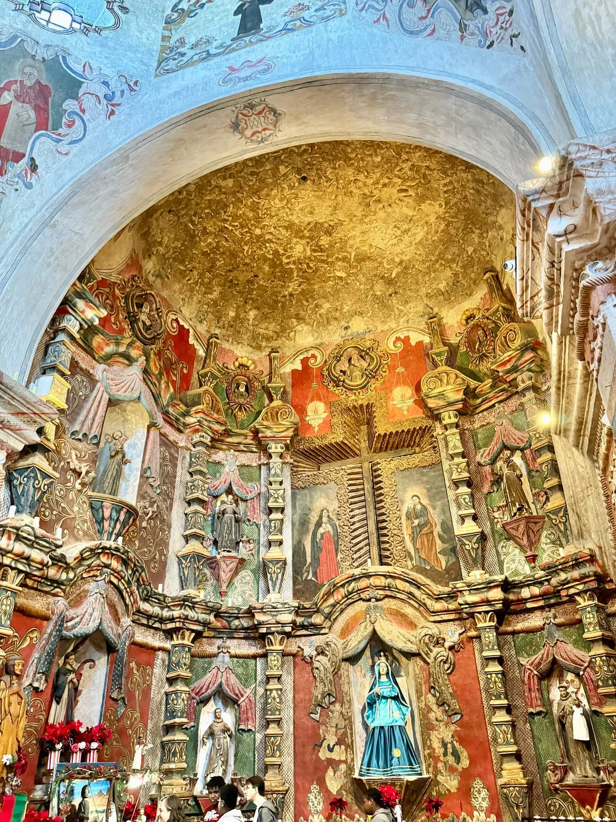
A Spanish Catholic mission south of Tucson, founded in 1692 and rebuilt by 1797, making it the oldest European structure in Arizona.
4 Score 63.4 out of 100 63.4
Historic Site
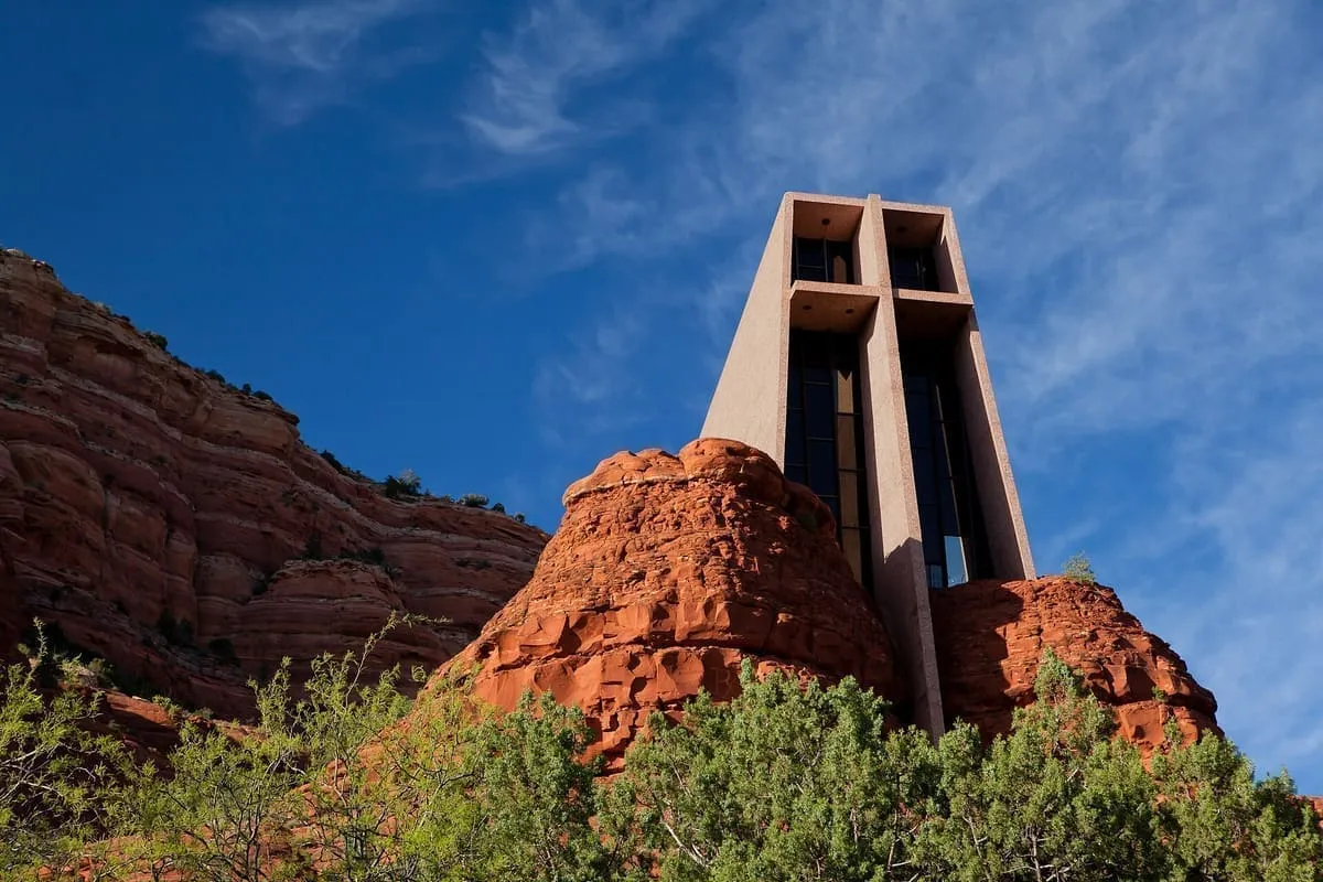
A Roman Catholic chapel built into the red rock buttes of Sedona between 1954 and 1956, listed on the National Register in 2011.
5 Score 61.6 out of 100 61.6
Historic Site
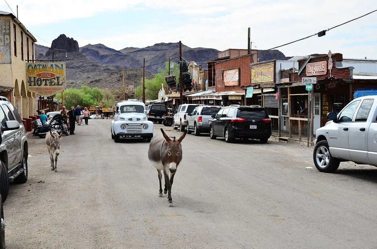
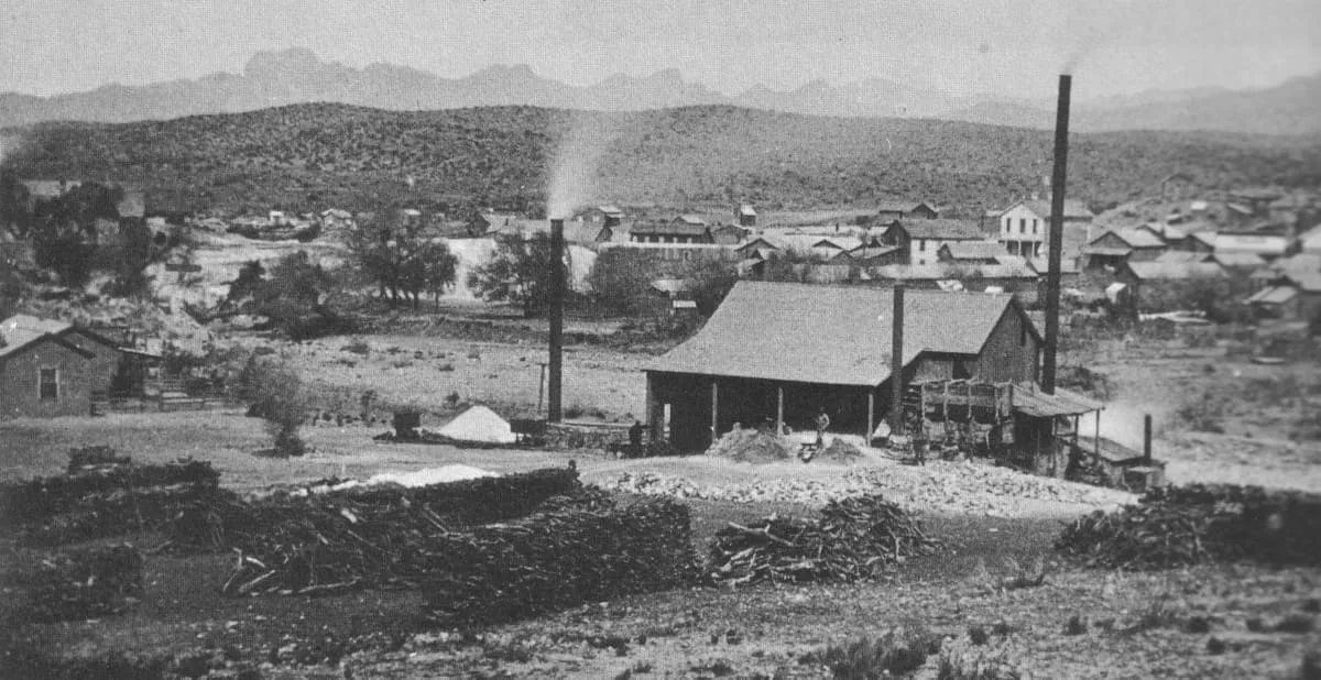
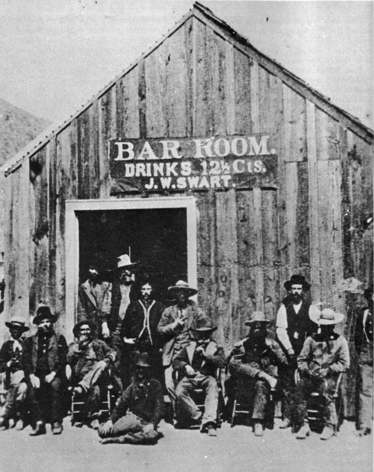
A former gold-mining camp in the Black Mountains that grew past 3,500 people in a year and now numbers 102.
6 Score 58.6 out of 100 58.6
Historic Site
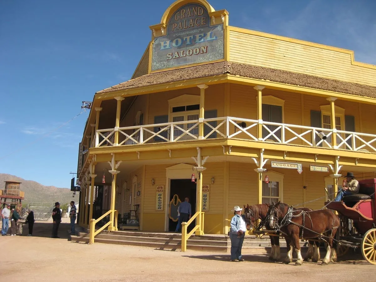
A film studio and theme park west of Tucson, built in 1939 for the film Arizona and used for Westerns ever since.
7 Score 56.2 out of 100 56.2
Historic Site
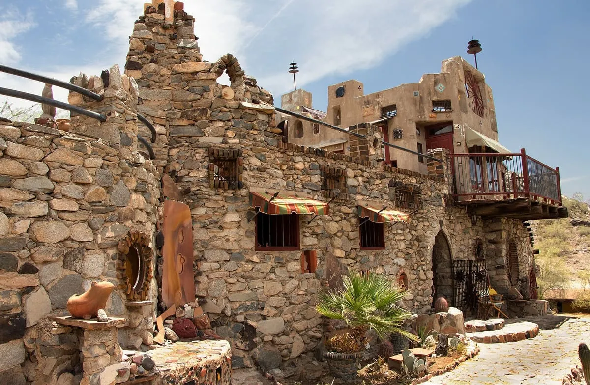
A house in the South Mountain foothills built in the 1930s from found materials, and open for tours since 1948.
8 Score 55.4 out of 100 55.4
Historic Site
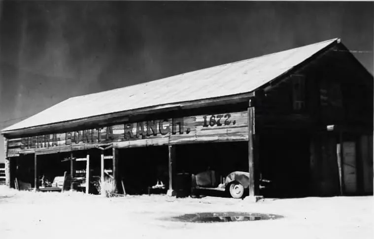
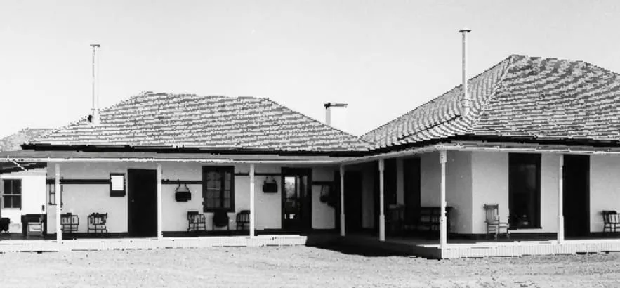
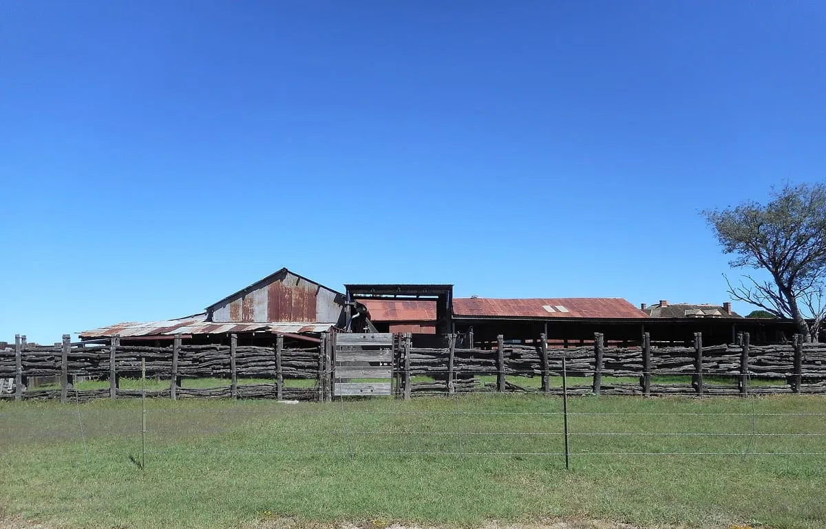
A Sulphur Springs Valley cattle ranch founded by Henry C. Hooker in 1872, the first permanent American cattle ranch in Arizona.
9 Score 55.4 out of 100 55.4
Historic Site
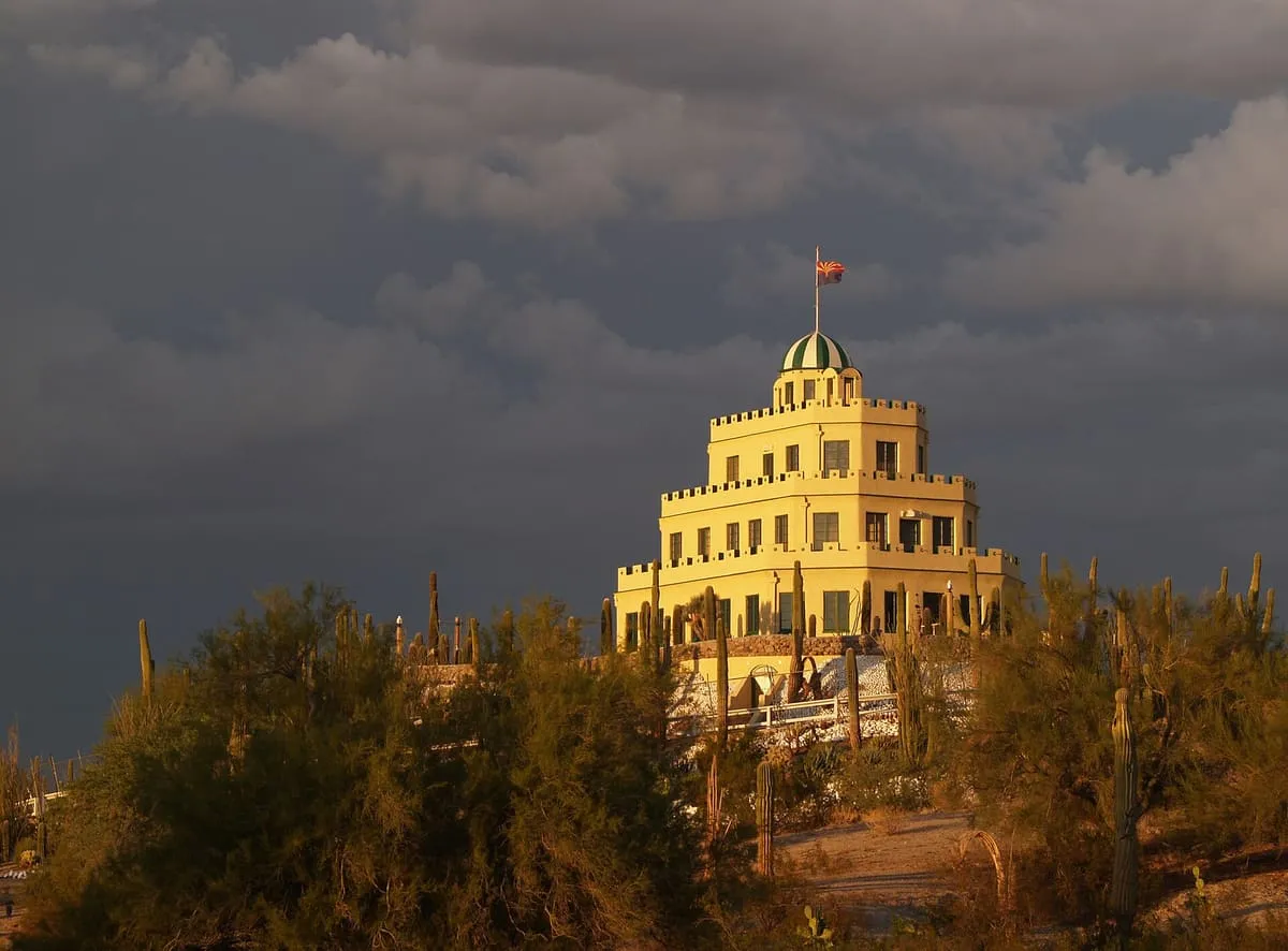
An Italianate landmark built in Phoenix between 1929 and 1931 as the centrepiece of a resort, set in grounds holding over 5,000 cacti.
10 Score 55.3 out of 100 55.3
Historic Site
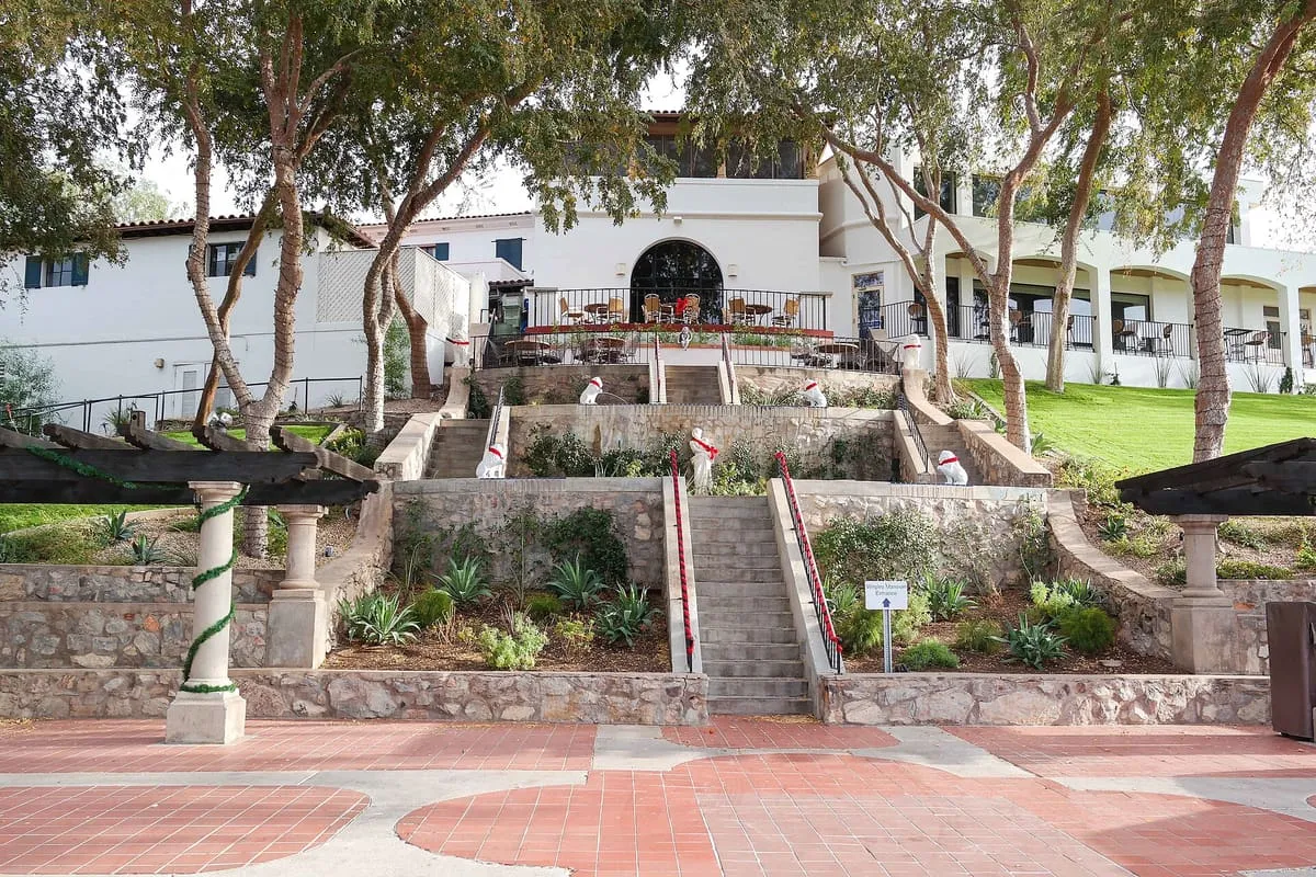
A house built in Phoenix between 1929 and 1931 by the chewing gum manufacturer William Wrigley Jr, on a knoll near the Arizona Biltmore.
11 Score 55.0 out of 100 55.0
Historic Site
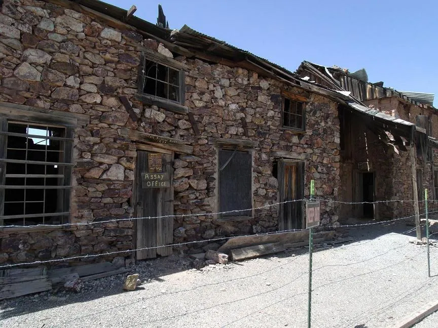
A ghost mining town in Cochise County, settled and abandoned in the 1880s with the rise and fall of silver mining near Tombstone.
12 Score 54.4 out of 100 54.4
Historic Site
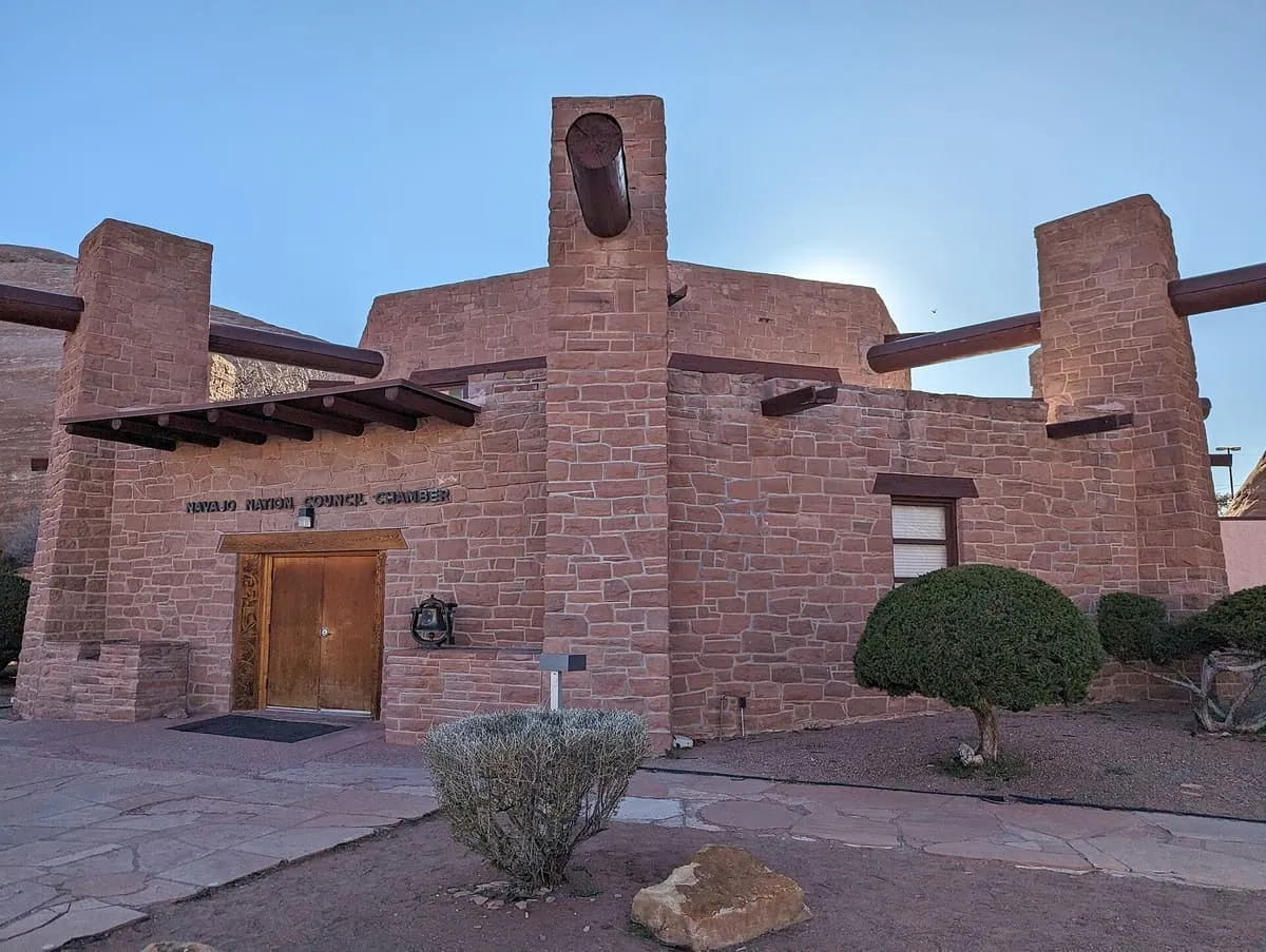
The seat of government of the Navajo Nation at Window Rock, a red sandstone building declared a National Historic Landmark in 2004.
13 Score 53.1 out of 100 53.1
Historic Site
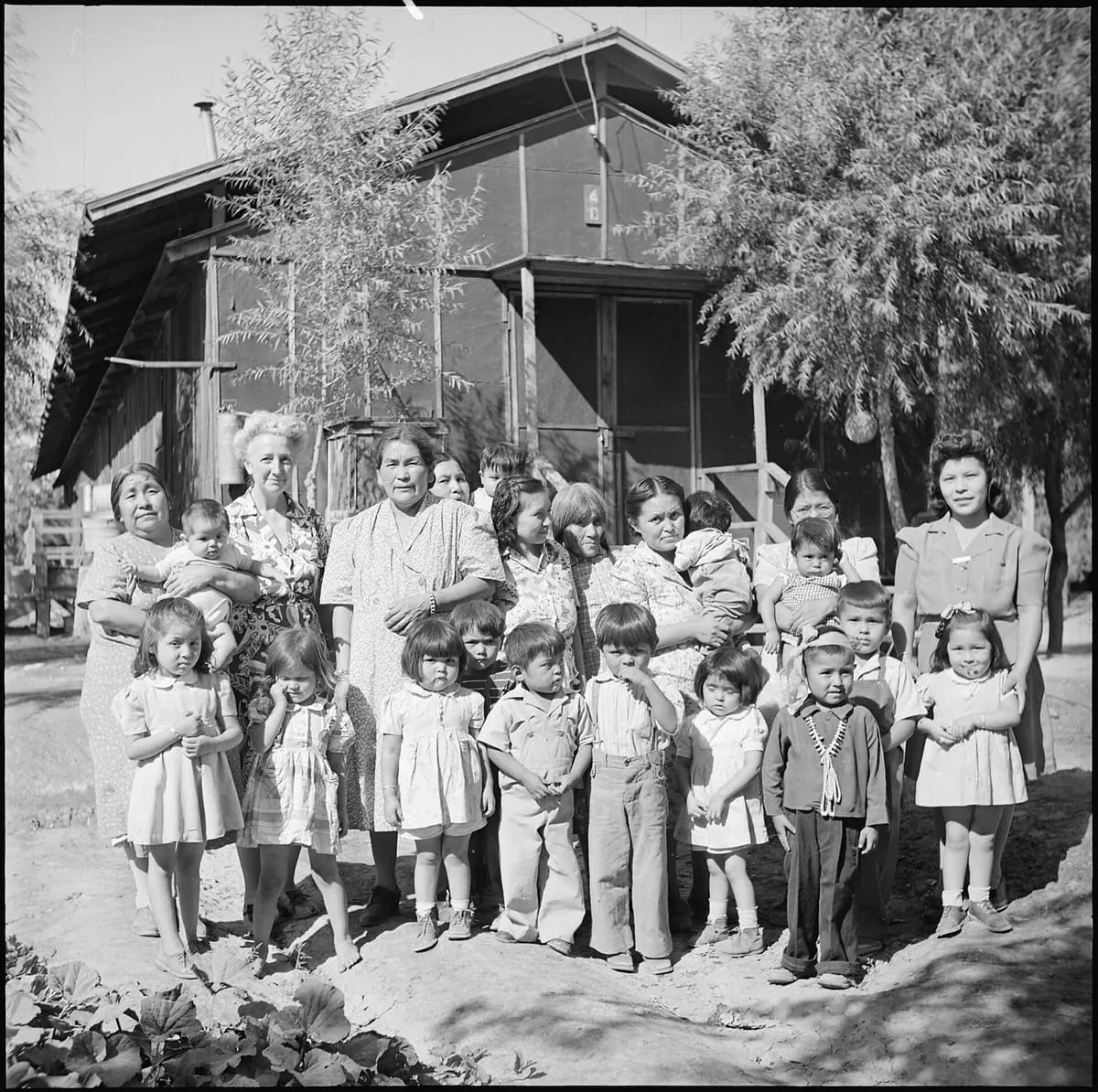
A War Relocation Authority camp near Sacaton that held 13,348 incarcerated Japanese Americans between 1942 and 1945.
14 Score 53.0 out of 100 53.0
Historic Site
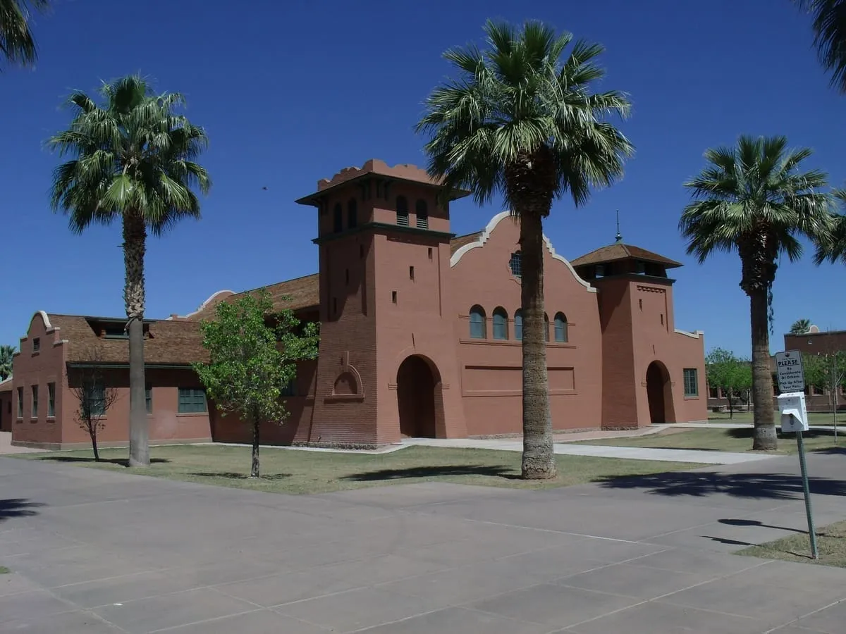
A Bureau of Indian Affairs boarding school in Phoenix that ran from 1891 to 1990, the only non-reservation BIA school in Arizona.
15 Score 52.7 out of 100 52.7
Historic Site
A crossing of the Colorado River between Arizona and California, used in the Spanish colonial period and after.
16 Score 52.6 out of 100 52.6
Historic Site
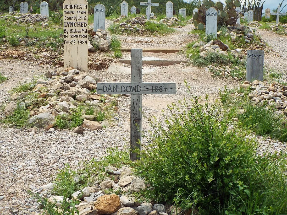
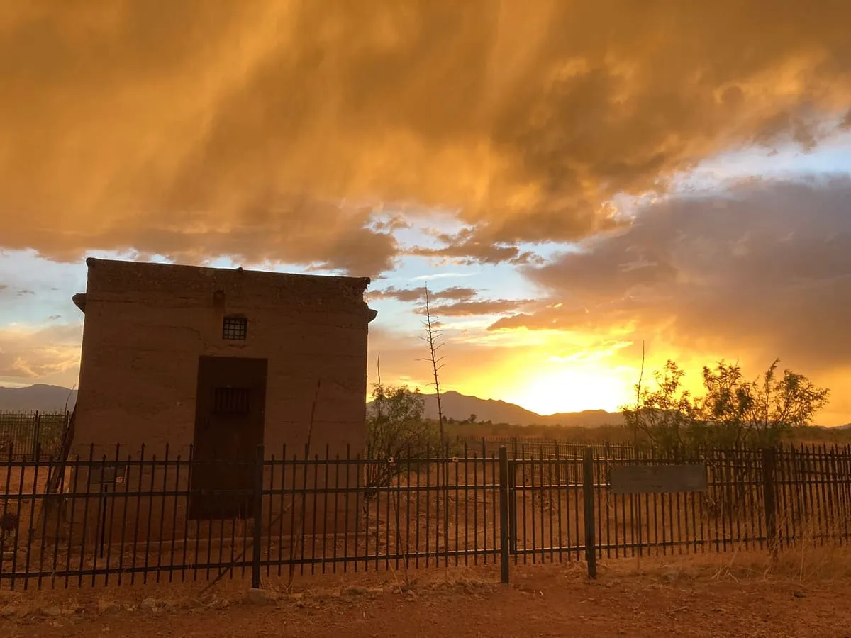
A Tombstone graveyard of at least 250 interments, used after 1883 only for the burial of outlaws and a few others.
17 Score 52.3 out of 100 52.3
Historic Site
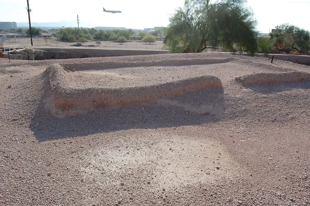
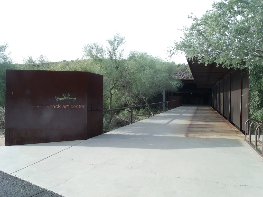
A pre-Columbian platform mound and canal system in Phoenix, formerly called Pueblo Grande and now S'edav Va'aki.
18 Score 52.2 out of 100 52.2
Historic Site
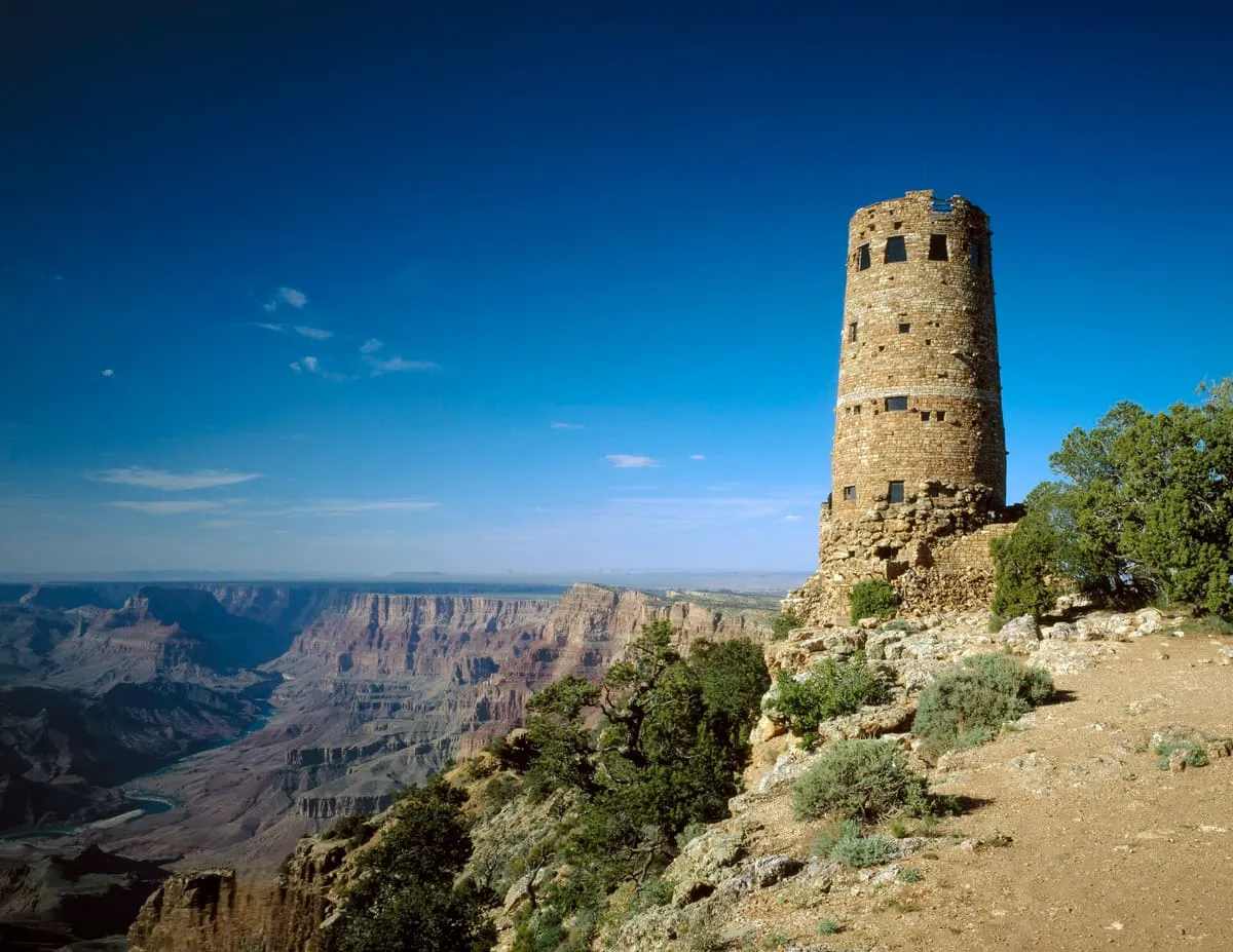
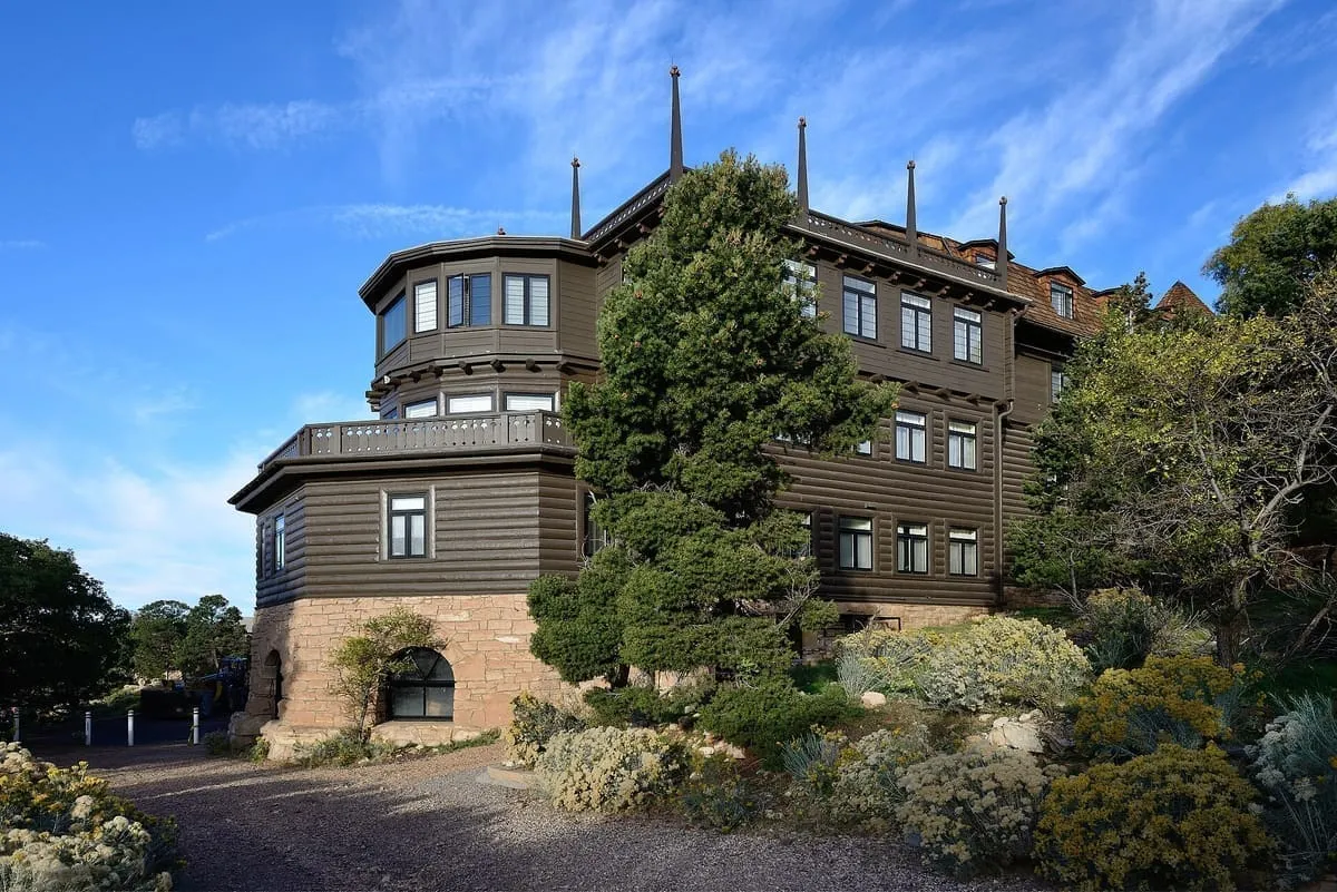
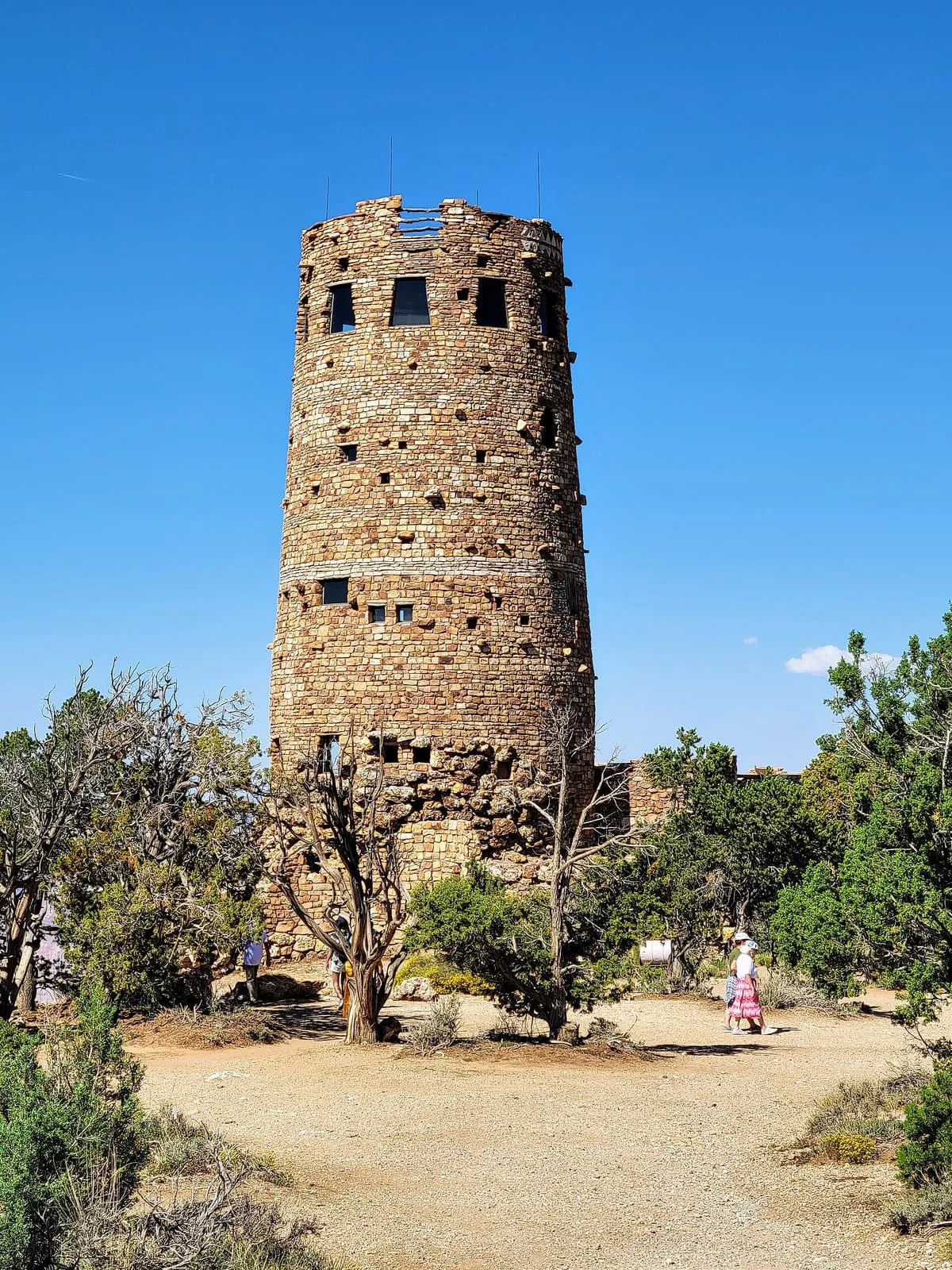
A 70-foot stone tower on the Grand Canyon's South Rim, completed in 1932 to a design by Mary Colter, with murals by Fred Kabotie.
19 Score 51.7 out of 100 51.7
Historic Site
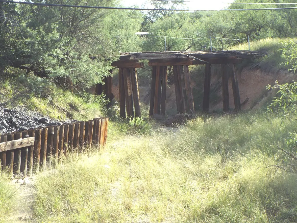
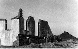
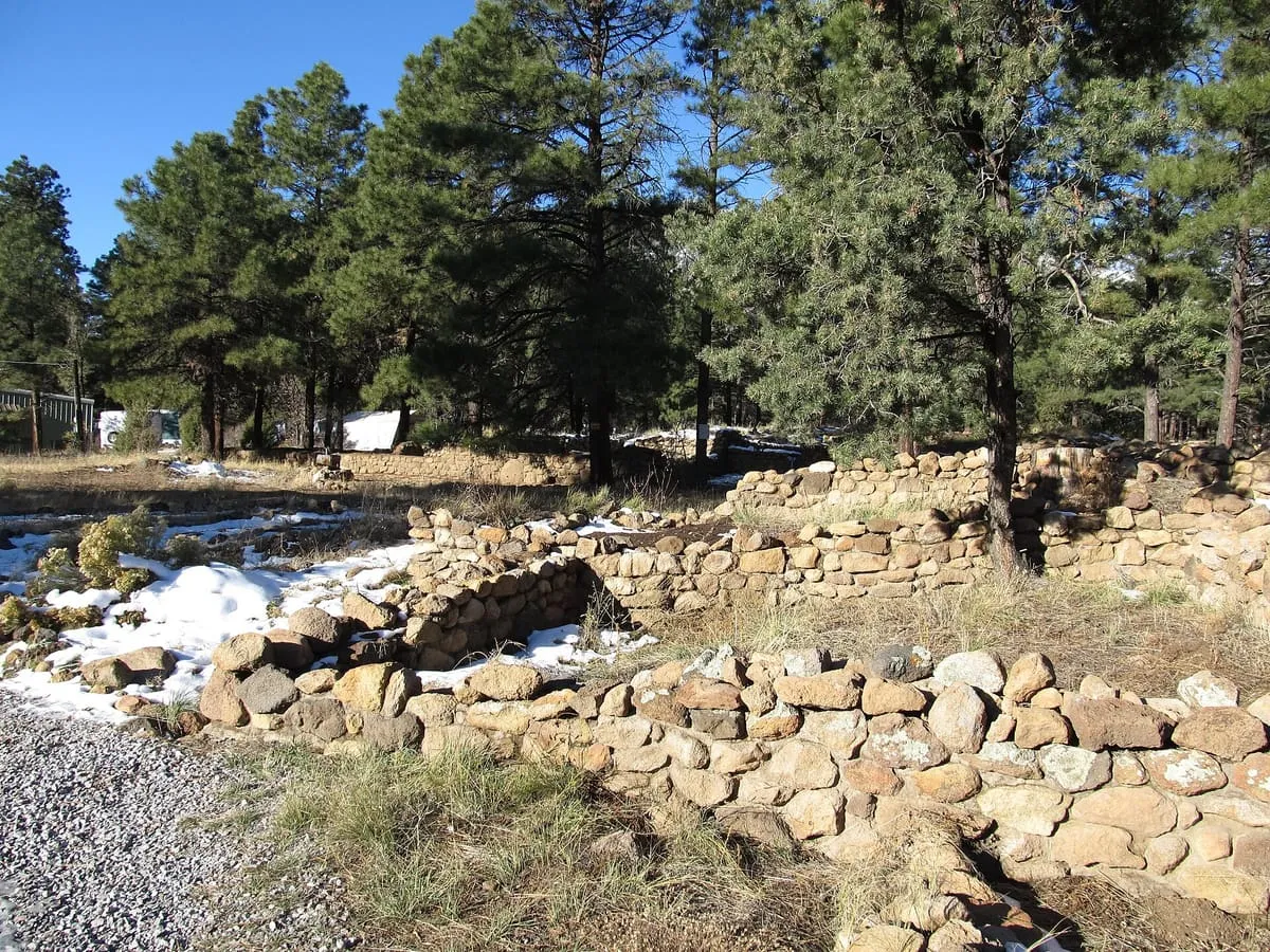
A ghost town in Pinal County, populated from the 1870s into the 1890s, of which only a few foundations remain.
20 Score 51.6 out of 100 51.6
Historic Site
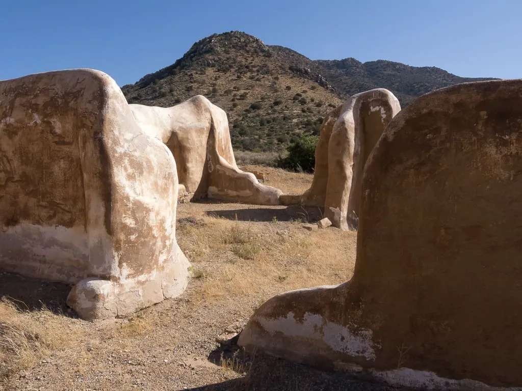
A US Army post established in 1862 near Apache Pass, central to operations that ended with the surrender of Geronimo in 1886.
21 Score 51.3 out of 100 51.3
Historic Site
A National Historic Landmark on the San Pedro River where Paleo-Indians killed mammoths 11,000 to 12,000 years before the present.
22 Score 51.2 out of 100 51.2
Historic Site
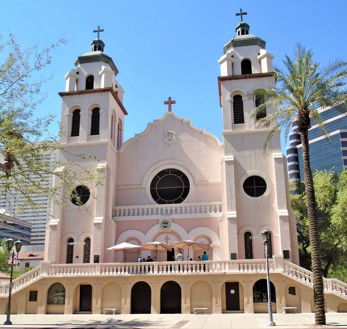
The oldest Catholic parish church in the greater Phoenix area, built between 1902 and 1914 and raised to minor basilica in 1985.
23 Score 50.8 out of 100 50.8
Historic Site
A National Historic Landmark on the Hopi Reservation holding a pueblo about 500 years old and a 17th-century Spanish mission.
24 Score 50.5 out of 100 50.5
Historic Site
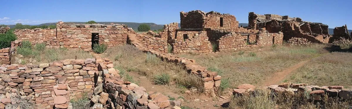
A 600-room Mogollon great house on the Fort Apache Indian Reservation, a National Historic Landmark administered by the White Mountain Apache Tribe.
25 Score 50.4 out of 100 50.4
Historic Site
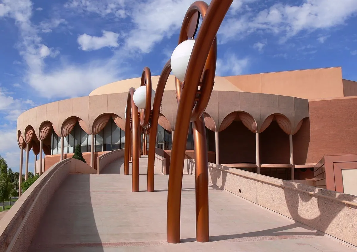
A Frank Lloyd Wright performing arts centre at Arizona State University in Tempe, built between 1962 and 1964.
26 Score 50.0 out of 100 50.0
Historic Site
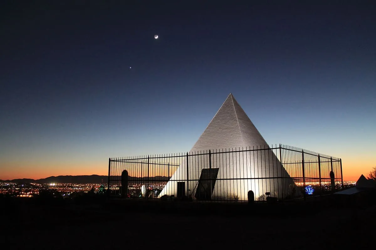
A white pyramid in Papago Park holding George W. P. Hunt, the first governor of Arizona, and his family, built in 1931.
27 Score 49.9 out of 100 49.9
Historic Site
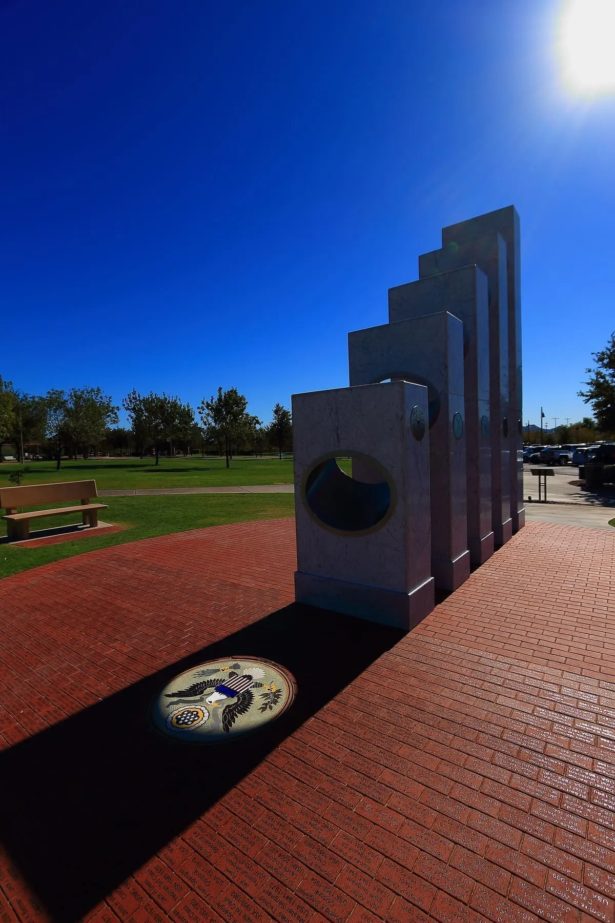
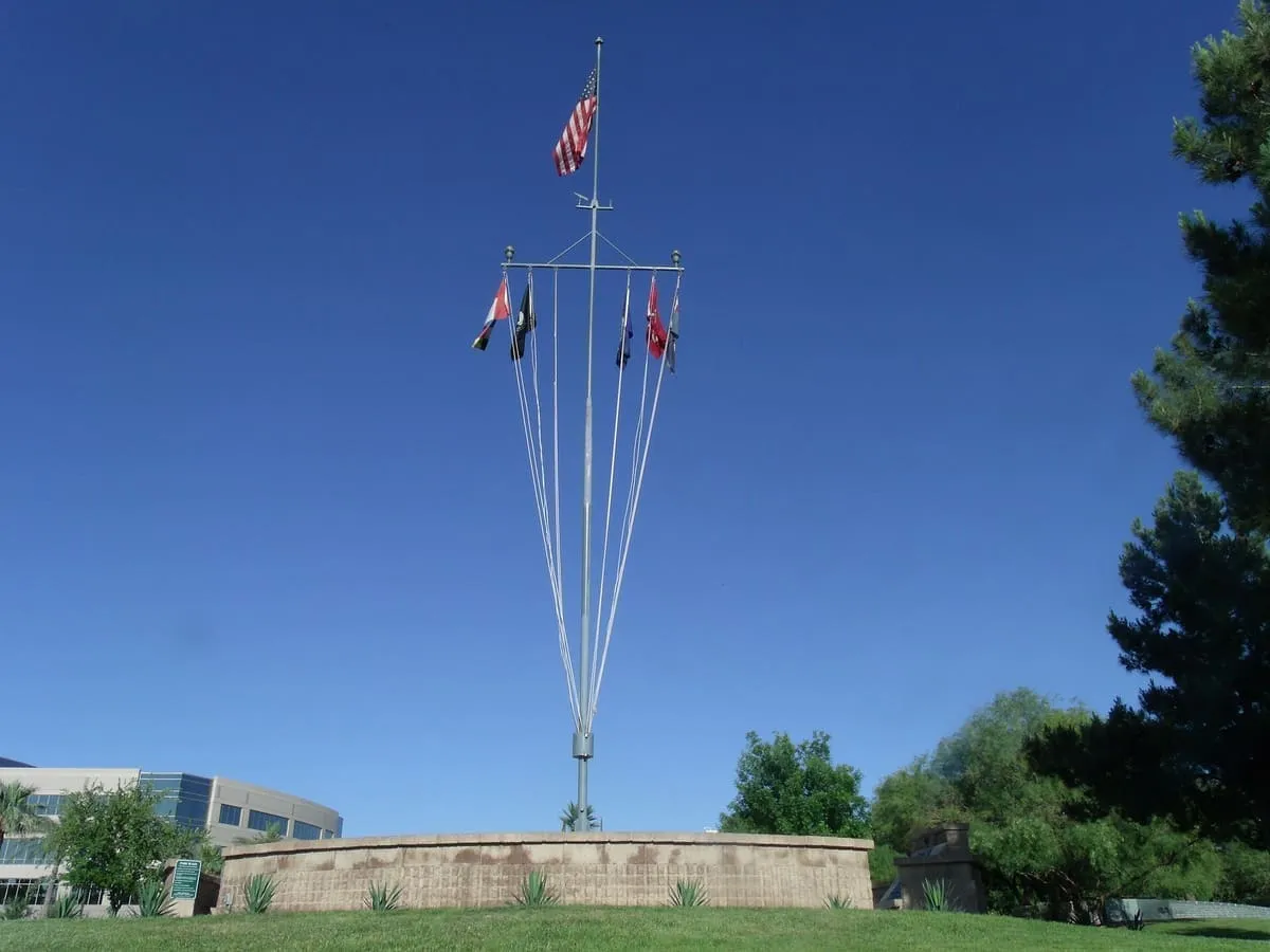
A memorial in Anthem whose five pillars are cut to light the Great Seal of the United States at 11:11 am each Veterans Day.
28 Score 49.9 out of 100 49.9
Historic Site
A ghost town on the San Pedro River in Cochise County that milled silver ore from Tombstone in the 1870s and 1880s.
29 Score 49.9 out of 100 49.9
Historic Site
The largest by area of the ten War Relocation Authority camps of the Second World War, holding over 17,000 people at its peak.
30 Score 49.8 out of 100 49.8
Historic Site
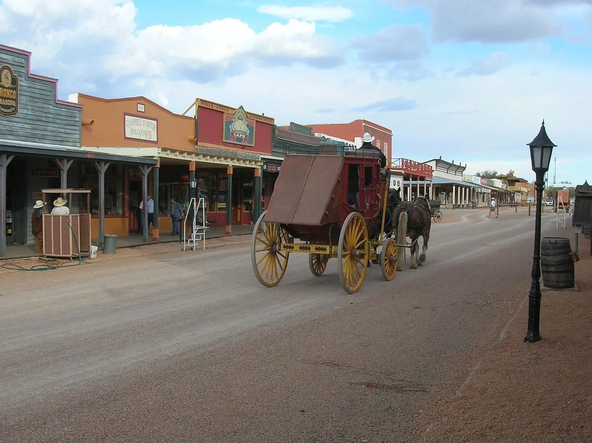
A National Historic Landmark district in Tombstone, a boom-and-bust mining town, taking in the O.K. Corral of the 1881 gunfight.
31 Score 49.7 out of 100 49.7
Historic Site
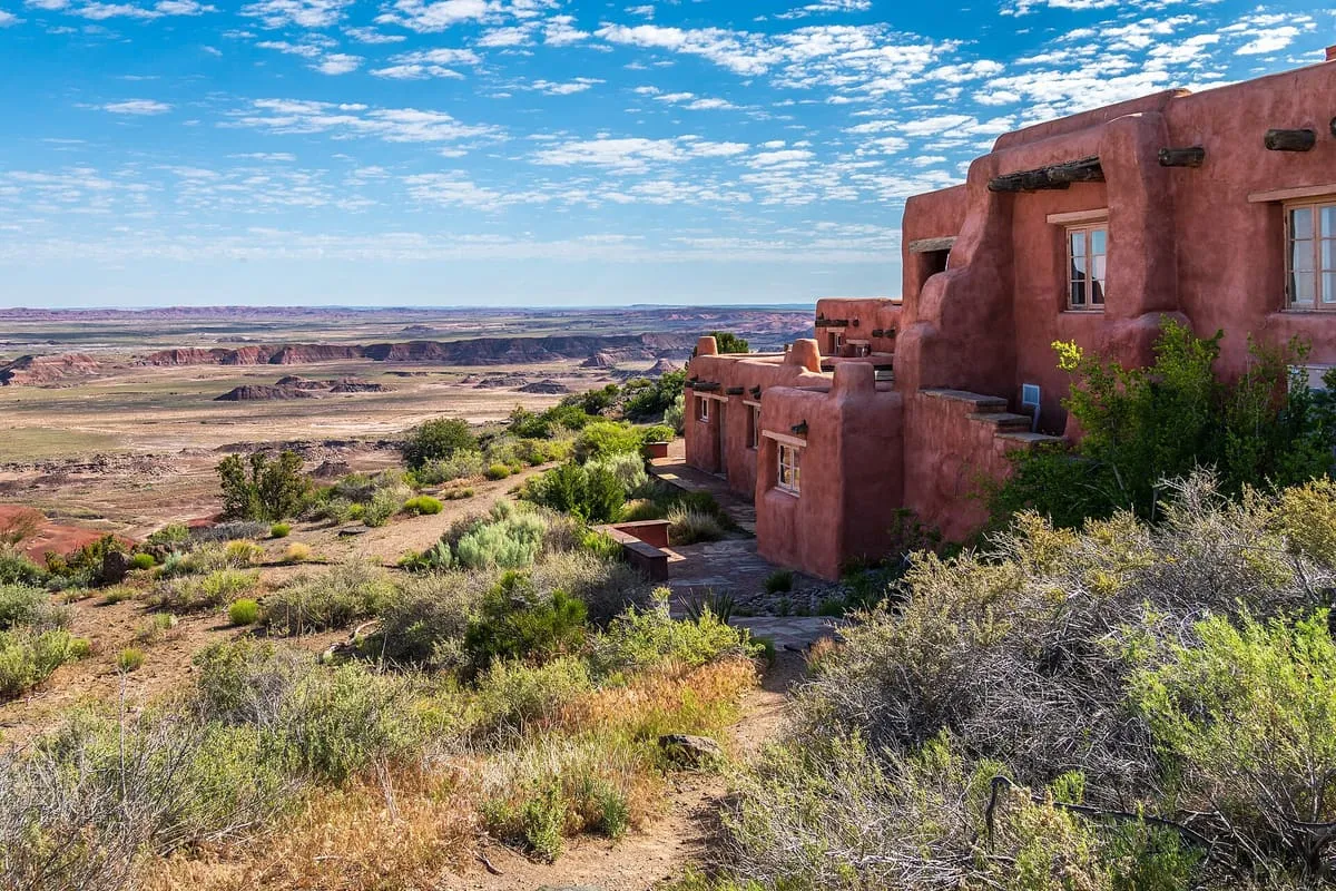
A historic complex in Petrified Forest National Park overlooking the Painted Desert, near the original alignment of U.S. Route 66.
32 Score 49.1 out of 100 49.1
Historic Site
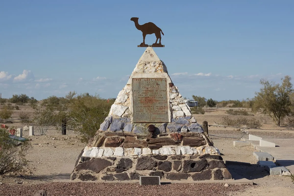
A Quartzsite grave marker for Hi Jolly, the Syrian-born camel driver brought to America in 1856 for the army's camel experiment.
33 Score 49.0 out of 100 49.0
Historic Site
A ghost town and unincorporated community in the Sulphur Springs Valley of Cochise County, adjoining the settlement of Sunsites.
34 Score 48.7 out of 100 48.7
Historic Site
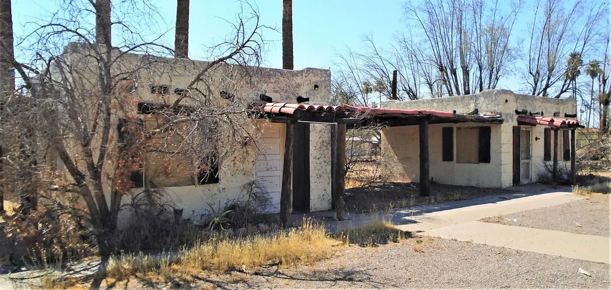
A Pueblo Revival mineral springs resort in Mesa, opened in 1939 by Ted and Alice Sliger and closed in stages between 1999 and 2004.
35 Score 48.6 out of 100 48.6
Historic Site
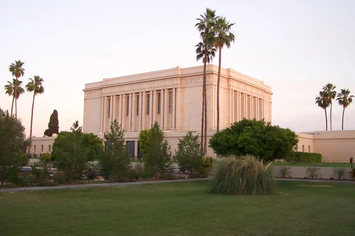
The seventh operating temple of the Church of Jesus Christ of Latter-day Saints, dedicated at Mesa in 1927 and set in 20 acres of gardens.
36 Score 48.5 out of 100 48.5
Historic Site
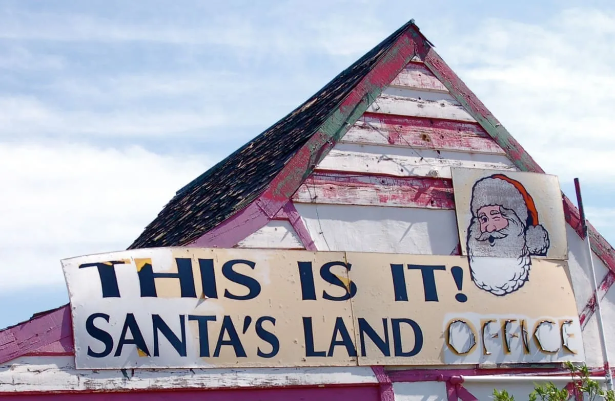
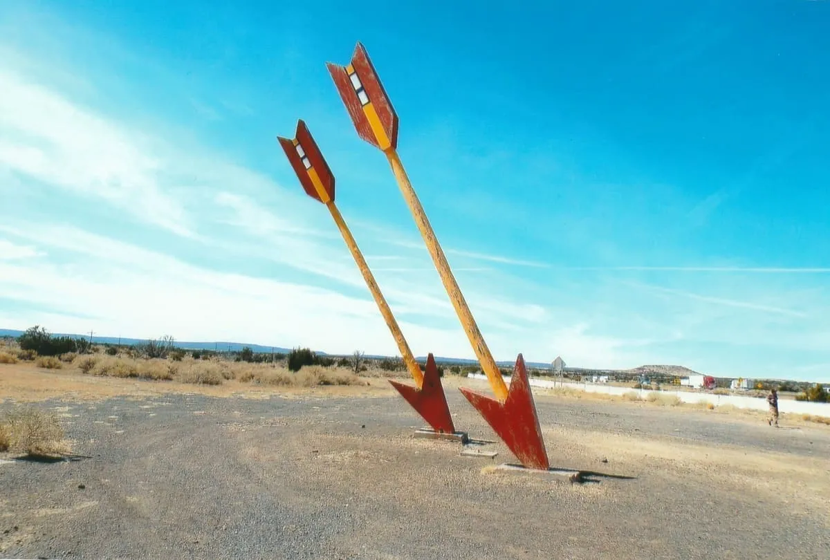
A themed roadside stop founded near Kingman in 1937, closed to business in 1995 and demolished some time in 2021 or 2022.
37 Score 48.4 out of 100 48.4
Historic Site
A small ghost town in Cochise County, Arizona, settled in 1901 while the area was still the Arizona Territory.
38 Score 48.3 out of 100 48.3
Historic Site
Vulture City is a ghost town in Maricopa County, Arizona, standing at the site of the defunct Vulture Mine.
39 Score 48.1 out of 100 48.1
Historic Site
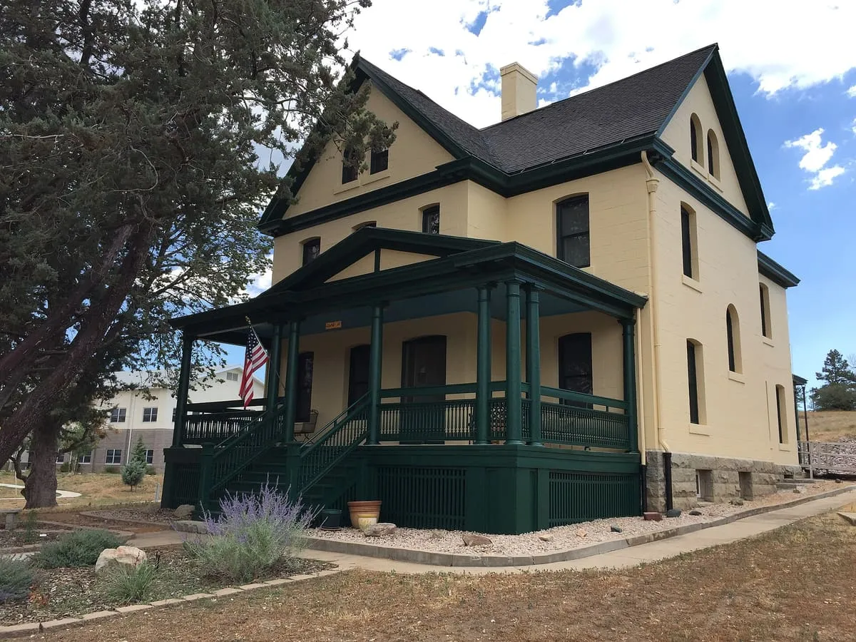
A former United States Army post in Arizona, first sited at Del Rio Springs and later moved to a permanent site near Prescott.
40 Score 47.8 out of 100 47.8
Historic Site
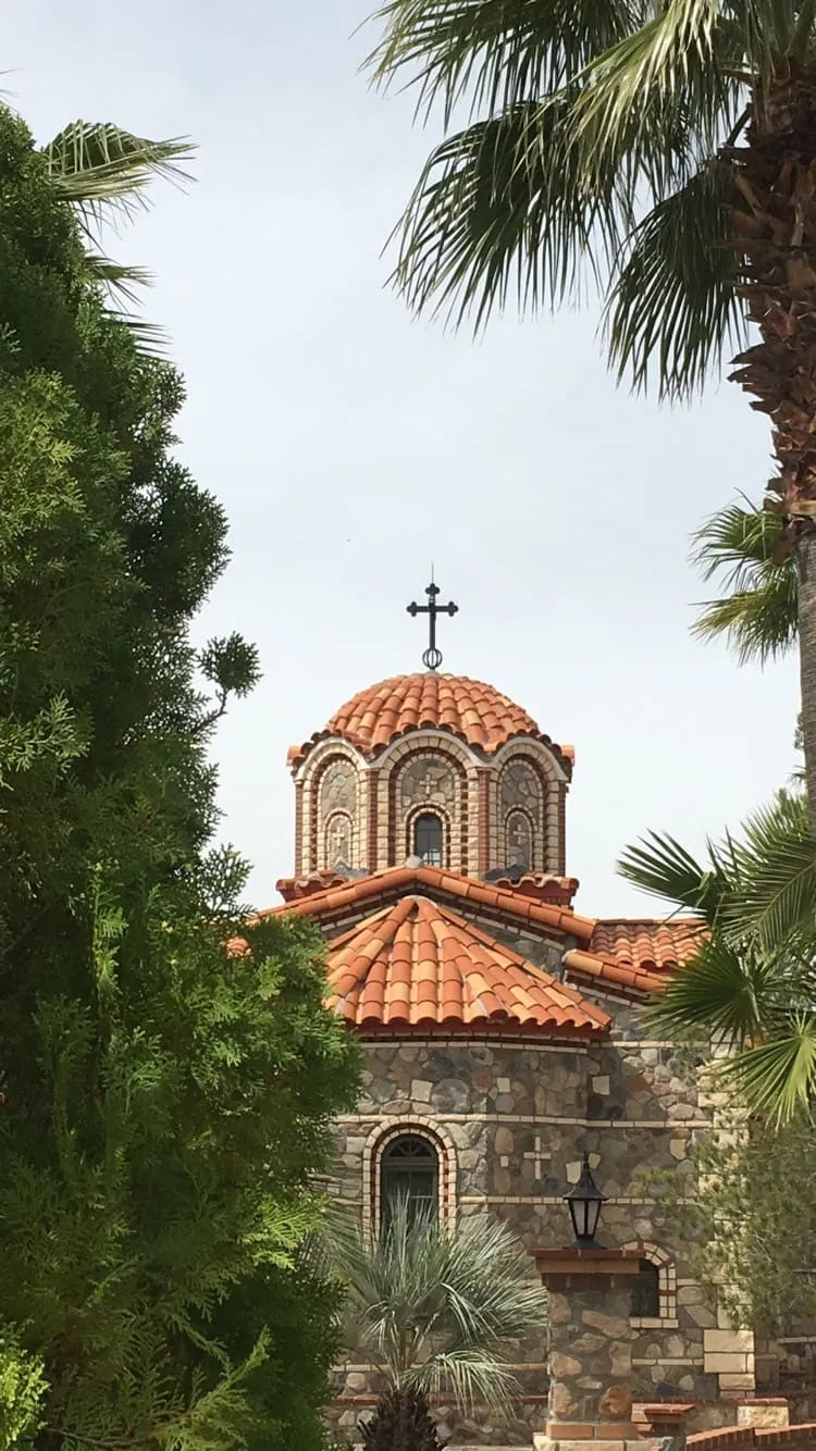
The largest Orthodox monastic complex in the Western Hemisphere, founded in 1995 in the Sonoran Desert outside Florence.
41 Score 47.6 out of 100 47.6
Historic Site
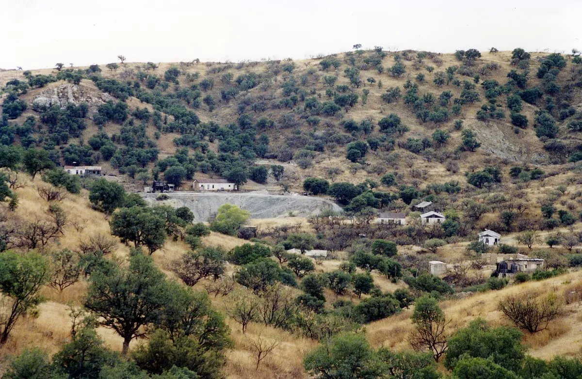
A ghost town in the Pajarita Wilderness near the Mexican border, founded as a mining camp in 1877 under the name Montana Camp.
42 Score 47.4 out of 100 47.4
Historic Site
A National Historic Landmark ranch in south-eastern Cochise County, home of the lawman John Horton Slaughter from the 1880s until 1922.
43 Score 47.3 out of 100 47.3
Historic Site
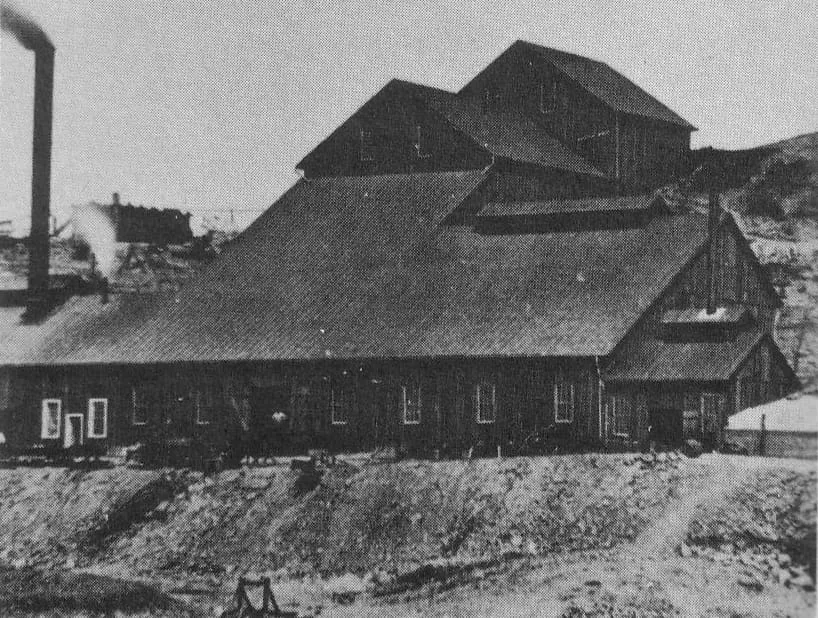
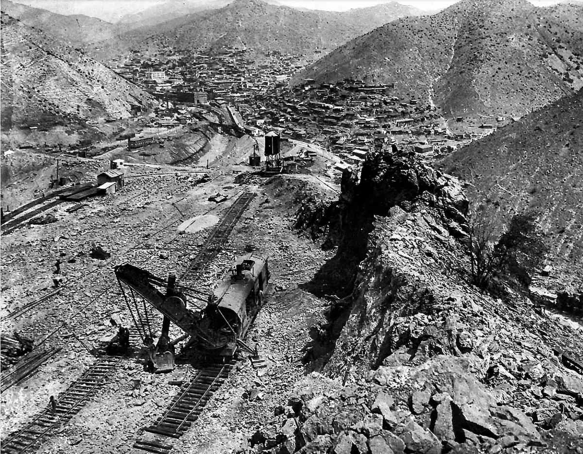
A Bisbee copper mine worked from the 1880s on an orebody running 23 per cent copper, once the most productive in Arizona.
44 Score 46.7 out of 100 46.7
Historic Site
A census-designated place on the Grand Canyon's South Rim whose historic core is a National Historic Landmark District of tourist-era buildings.
45 Score 46.7 out of 100 46.7
Historic Site
A Clovis hunting camp near the San Pedro River, with five excavated kill and butchery sites dating to about 11,000 BP.
46 Score 46.4 out of 100 46.4
Historic Site
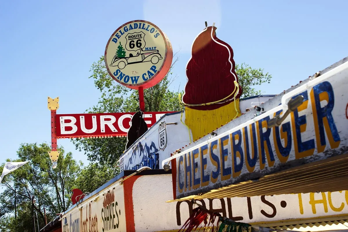
A Route 66 drive-in in Seligman, built in 1953 from railway scrap lumber by Juan Delgadillo and still run by his family.
47 Score 46.4 out of 100 46.4
Historic Site
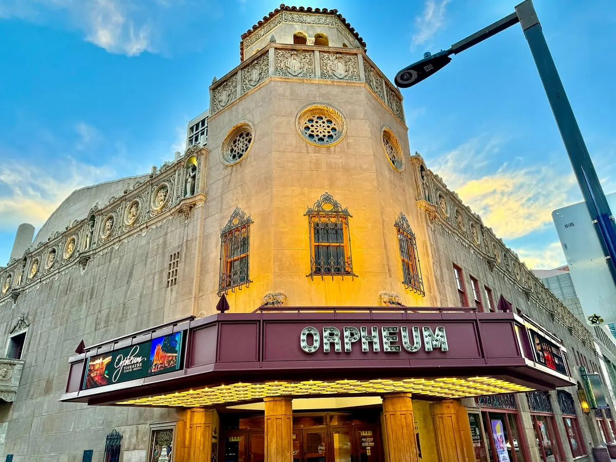
A 1,364-seat theatre in downtown Phoenix, built in 1929 in the Spanish Baroque style for the Orpheum vaudeville circuit.
48 Score 46.0 out of 100 46.0
Historic Site
A working cattle ranch in south-eastern Pima County, listed in 1976, whose range once spanned more than 180 square miles.
49 Score 45.5 out of 100 45.5
Historic Site
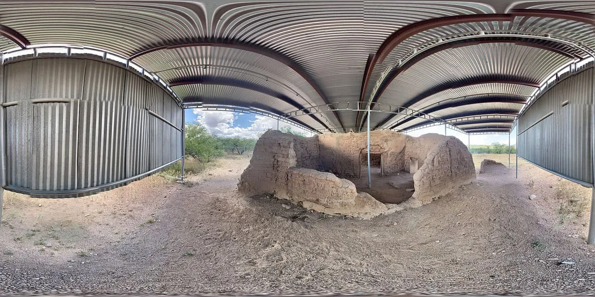
A Jesuit mission near Tumacácori, Arizona, founded in 1691 by Eusebio Kino and Juan María de Salvatierra as a district headquarters.
50 Score 45.4 out of 100 45.4
Historic Site
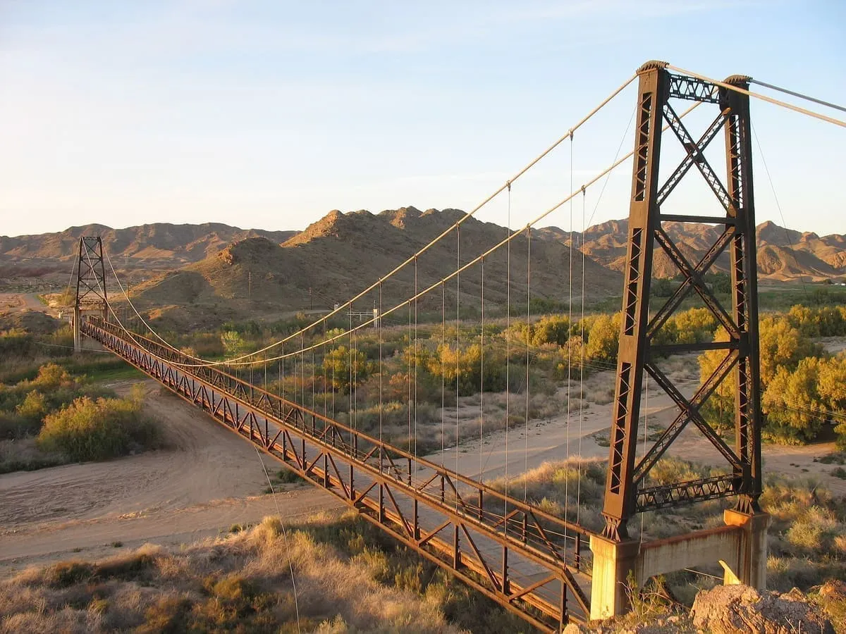
A 1929 suspension bridge over the Gila River near Yuma, 1,184 feet long and replaced in 1968 when the river was rerouted.
51 Score 45.4 out of 100 45.4
Historic Site
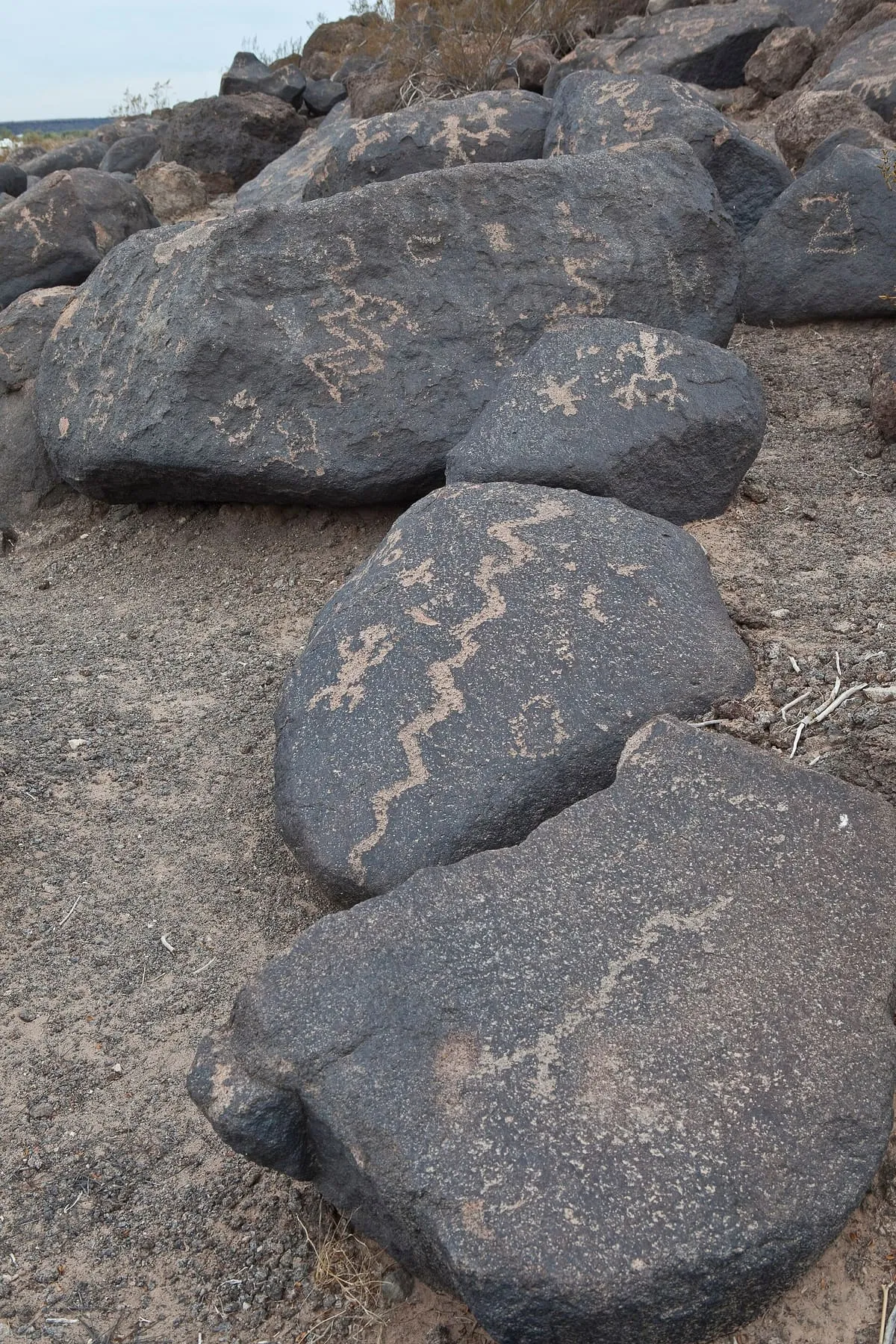
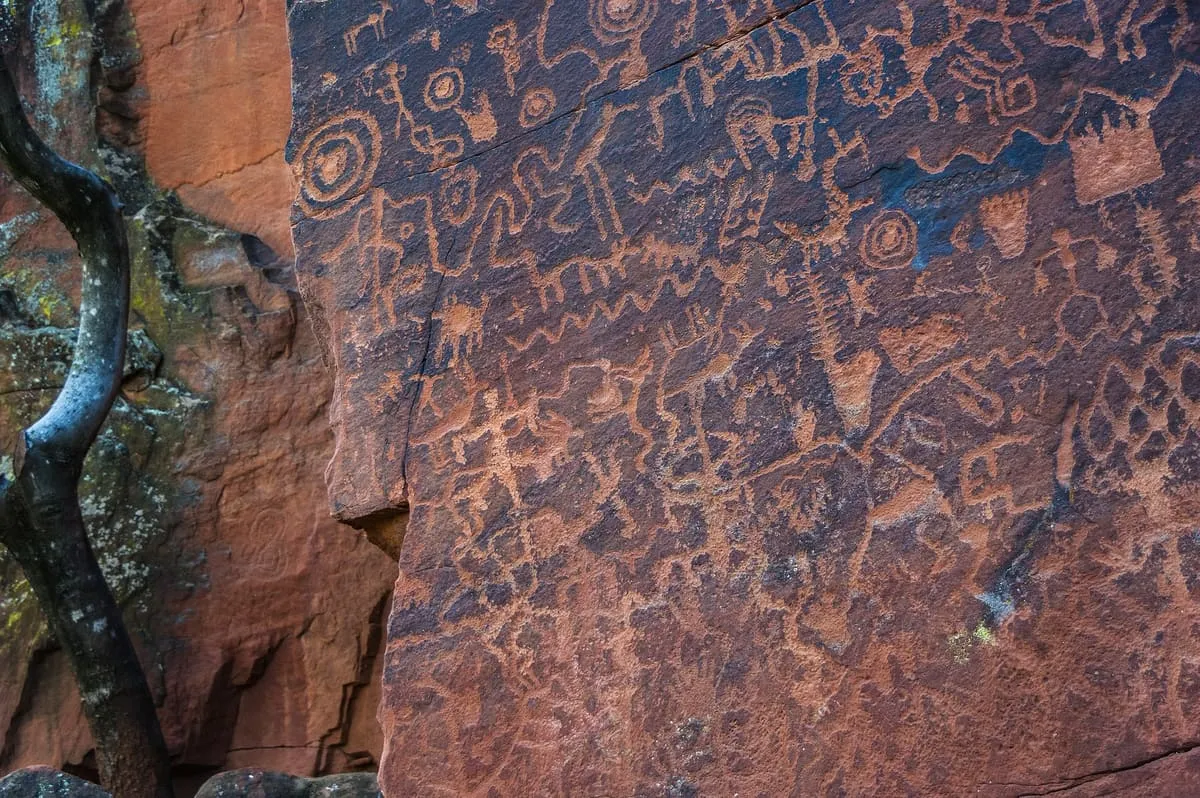
Hundreds of pre-Columbian petroglyphs near Theba, listed in 1977 and run by the Bureau of Land Management with a campground and trail.
52 Score 45.3 out of 100 45.3
Historic Site
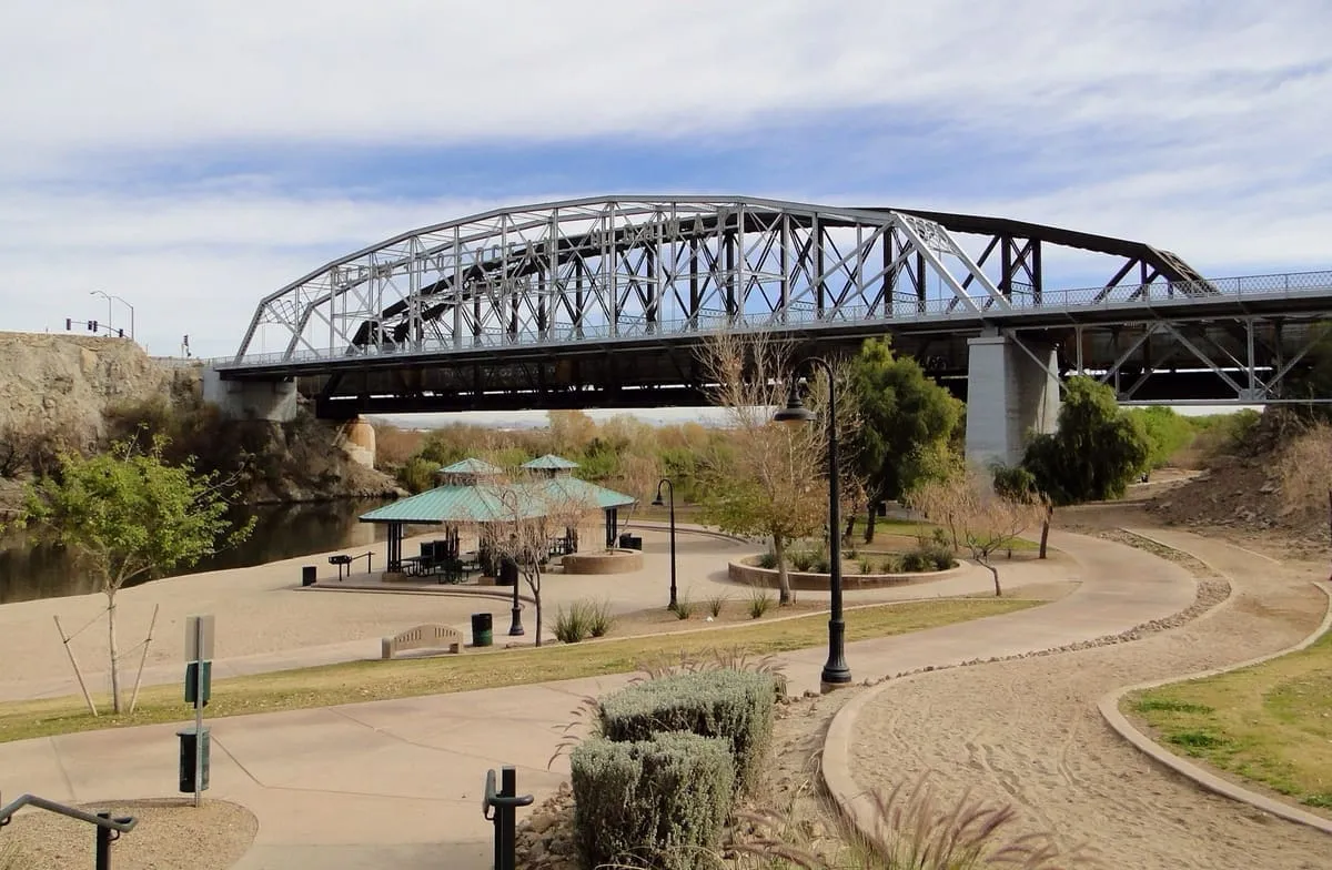
A 1915 through truss bridge at Yuma, the first highway crossing of the lower Colorado and the only Pennsylvania truss in Arizona.
53 Score 45.2 out of 100 45.2
Historic Site
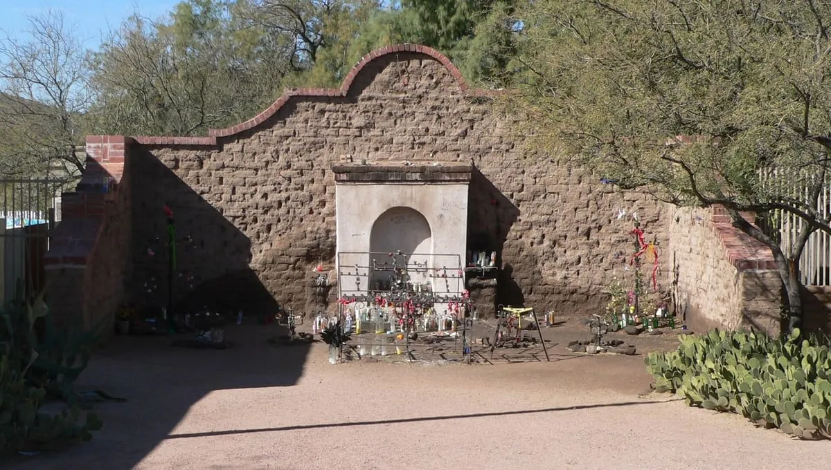
A shrine in downtown Tucson, standing since at least 1891, to a man who died in sin and could not be buried on consecrated ground.
54 Score 45.2 out of 100 45.2
Historic Site
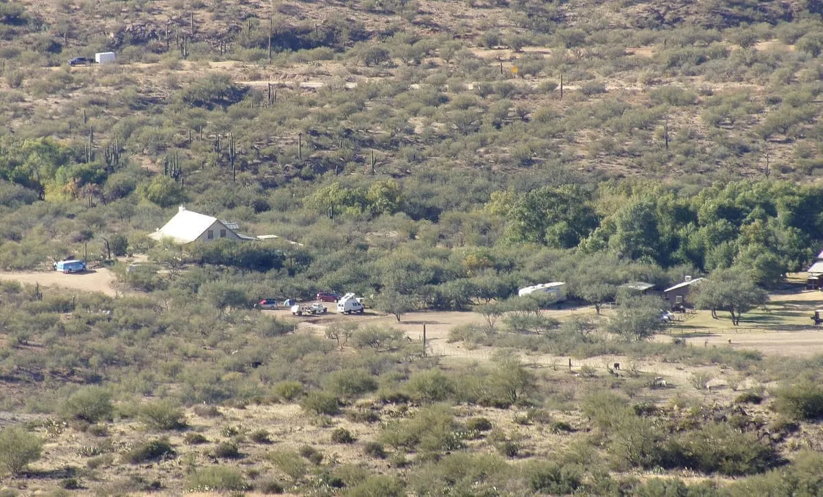
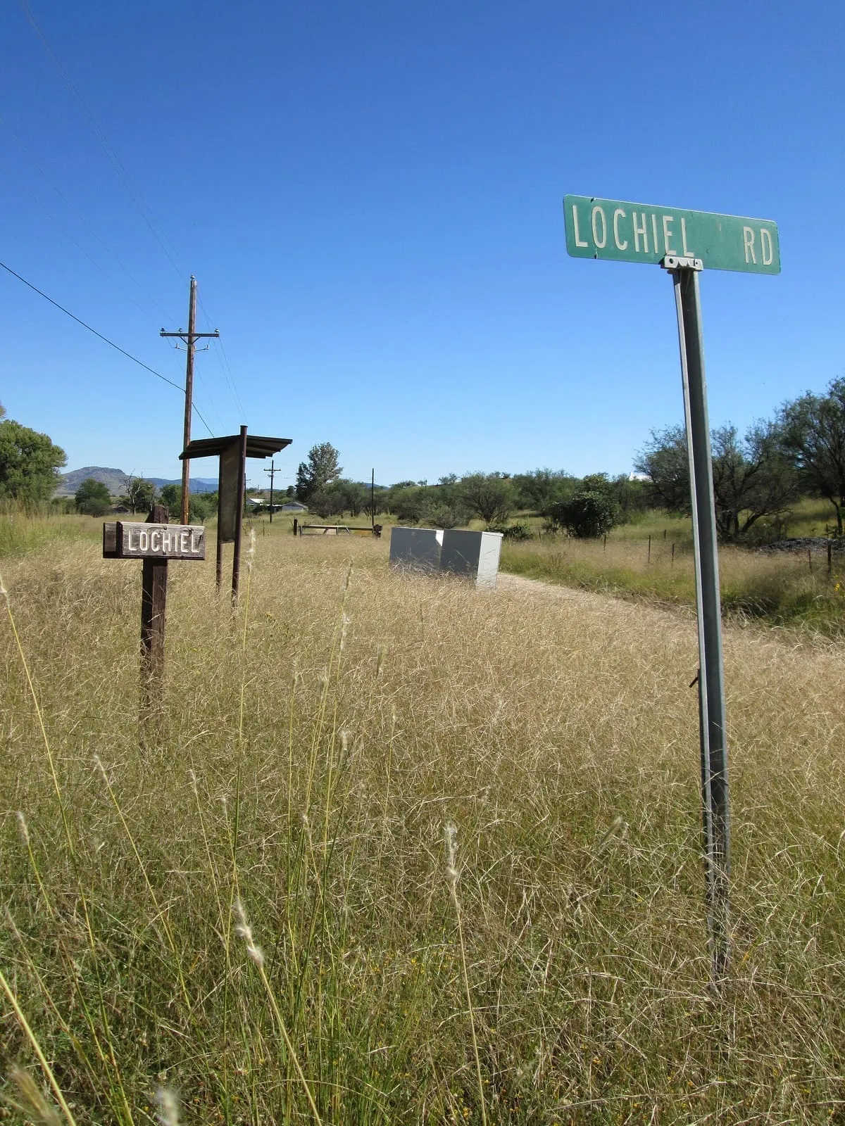
A historic cattle ranch in the San Rafael Valley, a mile and a half north of Lochiel and close to the border with Sonora.
55 Score 45.1 out of 100 45.1
Historic Site
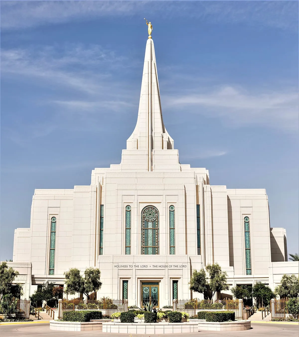
A temple of the Church of Jesus Christ of Latter-day Saints in Gilbert, announced in 2008 and dedicated in 2014.
56 Score 45.0 out of 100 45.0
Historic Site
A ghost town in the Bradshaw Mountains of Yavapai County, named for Bumble Bee Creek and used by campers in winter.
57 Score 45.0 out of 100 45.0
Historic Site
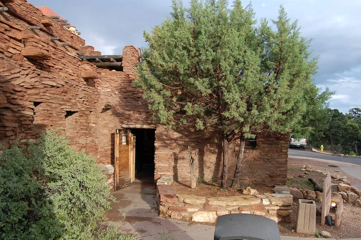
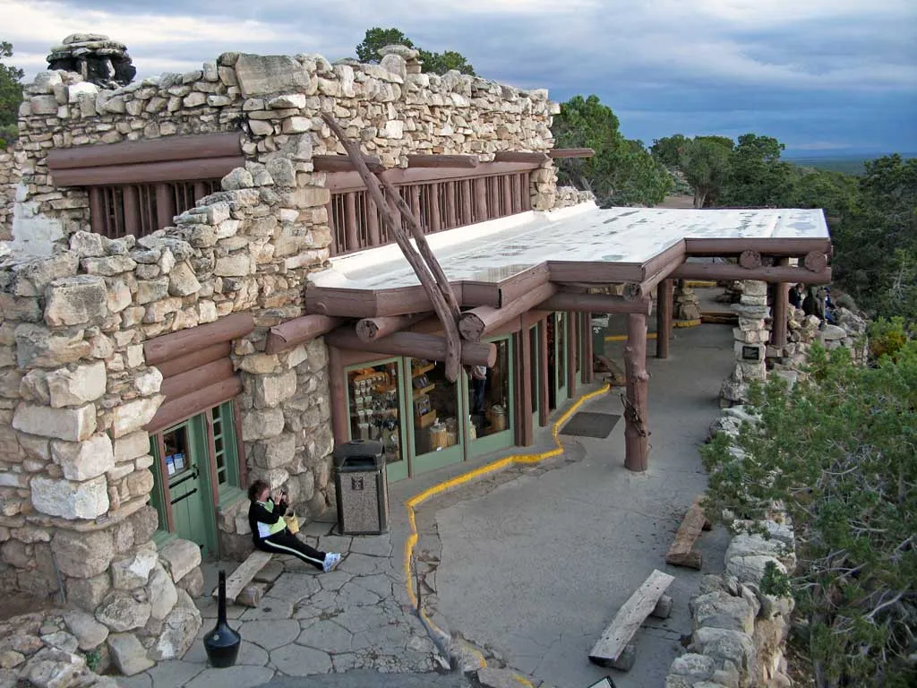
Mary Colter's first Grand Canyon building, opened in 1905 as a market for Hopi crafts and modelled on a Hopi pueblo.
58 Score 45.0 out of 100 45.0
Historic Site
A Tucson historic district along North Stone Avenue, Drachman Street, Oracle Road and Miracle Mile, listed on the National Register in 2017.
59 Score 44.9 out of 100 44.9
Historic Site
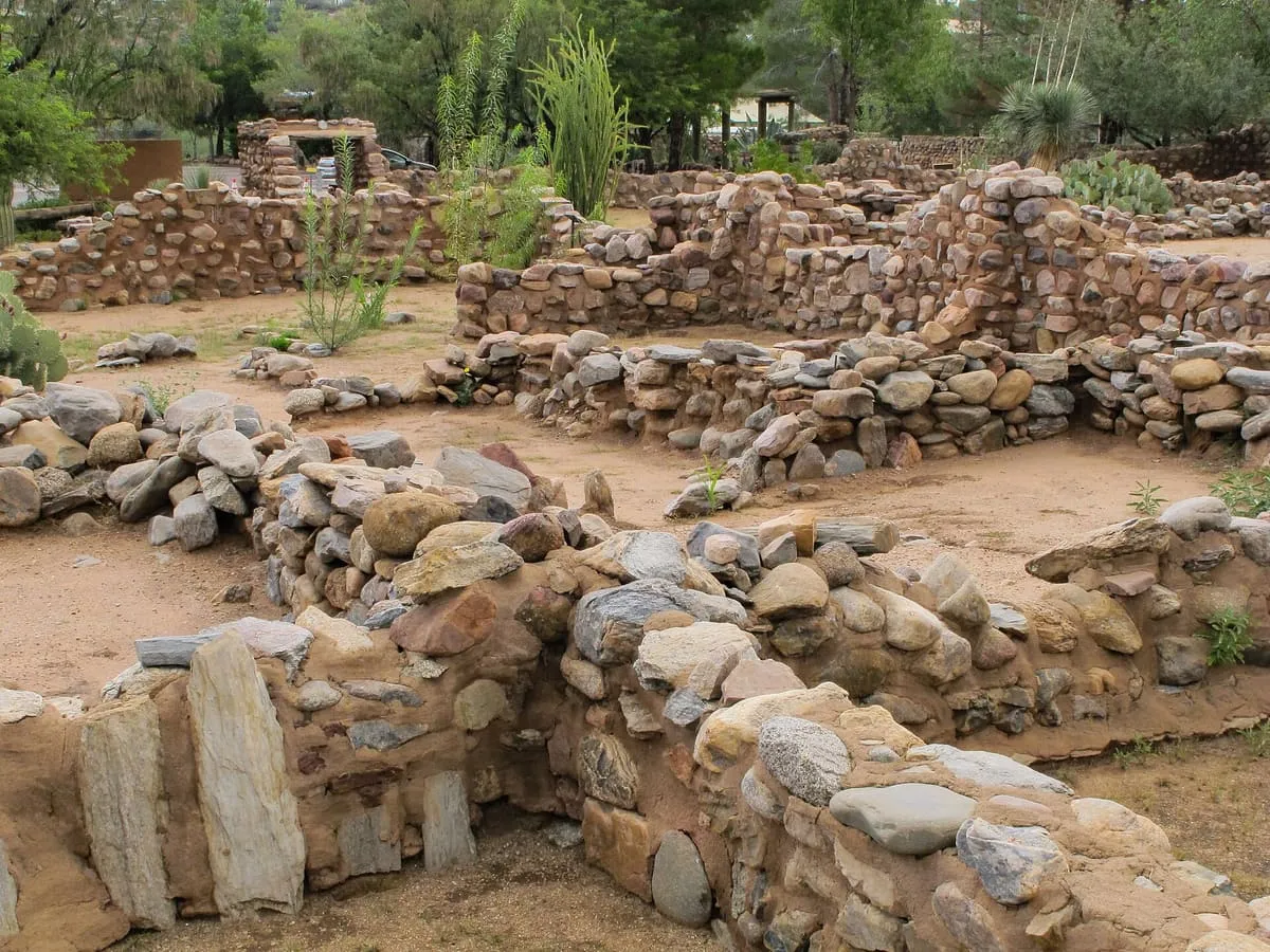
A Hohokam platform mound in Mesa occupied between AD 1100 and 1400, one of only two left in the Phoenix metropolitan area.
60 Score 44.8 out of 100 44.8
Historic Site
Paolo Soleri's gallery, studio and home at Paradise Valley, built from 1956 in earth-cast concrete and known for its wind-bells.
61 Score 44.6 out of 100 44.6
Historic Site
An unincorporated community in Cochise County, founded in the 1880s as a coal and water stop on the railway.
62 Score 44.6 out of 100 44.6
Historic Site
A ghost town on U.S. Route 66 in Coconino County, between the city of Flagstaff and the town of Winslow.
63 Score 44.5 out of 100 44.5
Historic Site
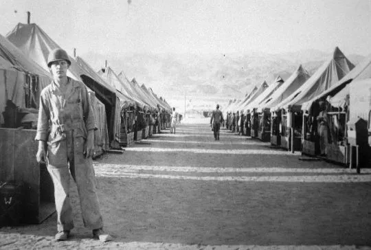
A secret camp of the US Army's Desert Training Center in western Arizona, 25 miles from the town of Bouse.
64 Score 44.3 out of 100 44.3
Historic Site
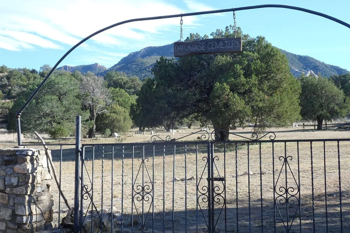
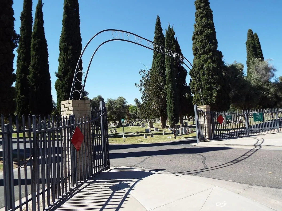
A historic cemetery on North Center Street in Mesa, holding the graves of early citizens, mayors and veterans.
65 Score 44.3 out of 100 44.3
Historic Site
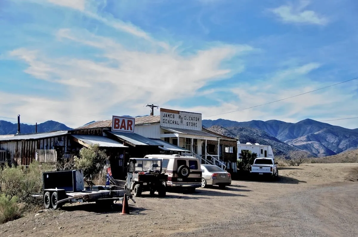
An unincorporated community on the old Route 66, 28 miles north-east of Kingman, with 103 residents in 2020.
66 Score 44.2 out of 100 44.2
Historic Site
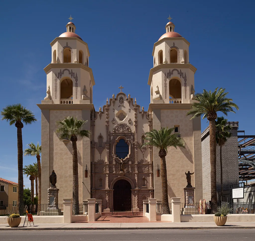
The cathedral and mother church of the Catholic Diocese of Tucson, known in Spanish as the Catedral de San Agustín.
67 Score 44.1 out of 100 44.1
Historic Site
A gold rush town on the Colorado River, founded in 1862 and long abandoned before La Paz County took its name.
68 Score 43.9 out of 100 43.9
Historic Site
A place in Maricopa County north of the Gila River, named in 1744 for hot springs that later carried a resort.
69 Score 43.6 out of 100 43.6
Historic Site
A ghost town on the San Pedro River, settled in 1881 as the nearest rail stop to Tombstone and now inside a conservation area.
70 Score 43.5 out of 100 43.5
Historic Site
A 1914 Mary Colter building at the western end of Hermit Road on the Grand Canyon's south rim, and a National Historic Landmark.
71 Score 43.5 out of 100 43.5
Historic Site
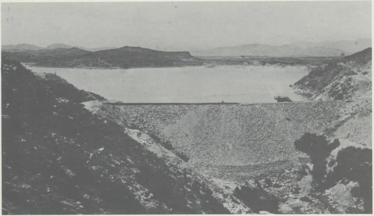
A dam on the Hassayampa River north of Wickenburg, built from 1886 for gold mining, whose failure in 1890 killed over 100 people.
72 Score 43.3 out of 100 43.3
Historic Site
A performance theatre and concert venue on Congress Street in downtown Tucson, listed on the National Register of Historic Places in 2003.
73 Score 43.3 out of 100 43.3
Historic Site
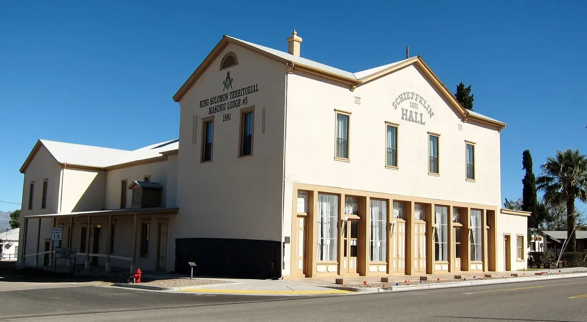
An 1881 adobe opera house, theatre and meeting hall at Tombstone, described as the largest standing adobe structure in the South-West.
74 Score 43.1 out of 100 43.1
Historic Site
Tip Top is a ghost town in Yavapai County, Arizona, settled in 1876 in what was then Arizona Territory.
75 Score 42.8 out of 100 42.8
Historic Site
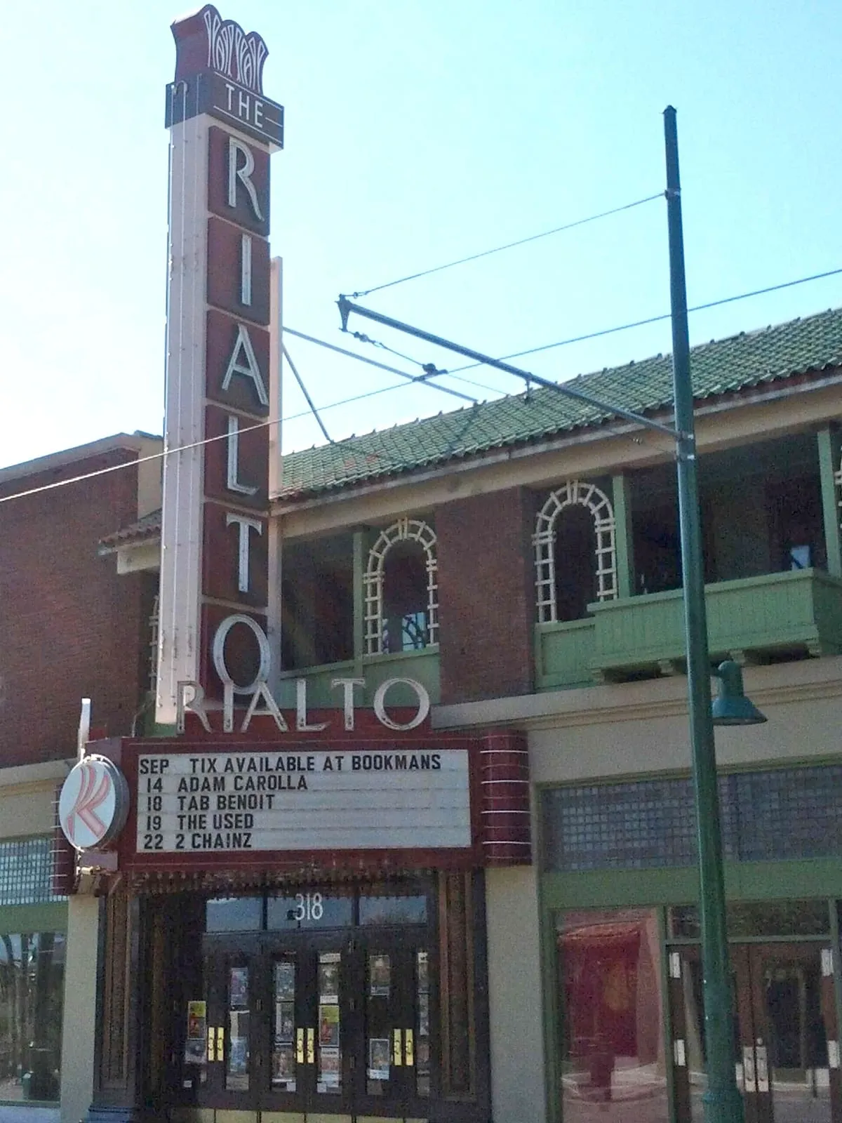
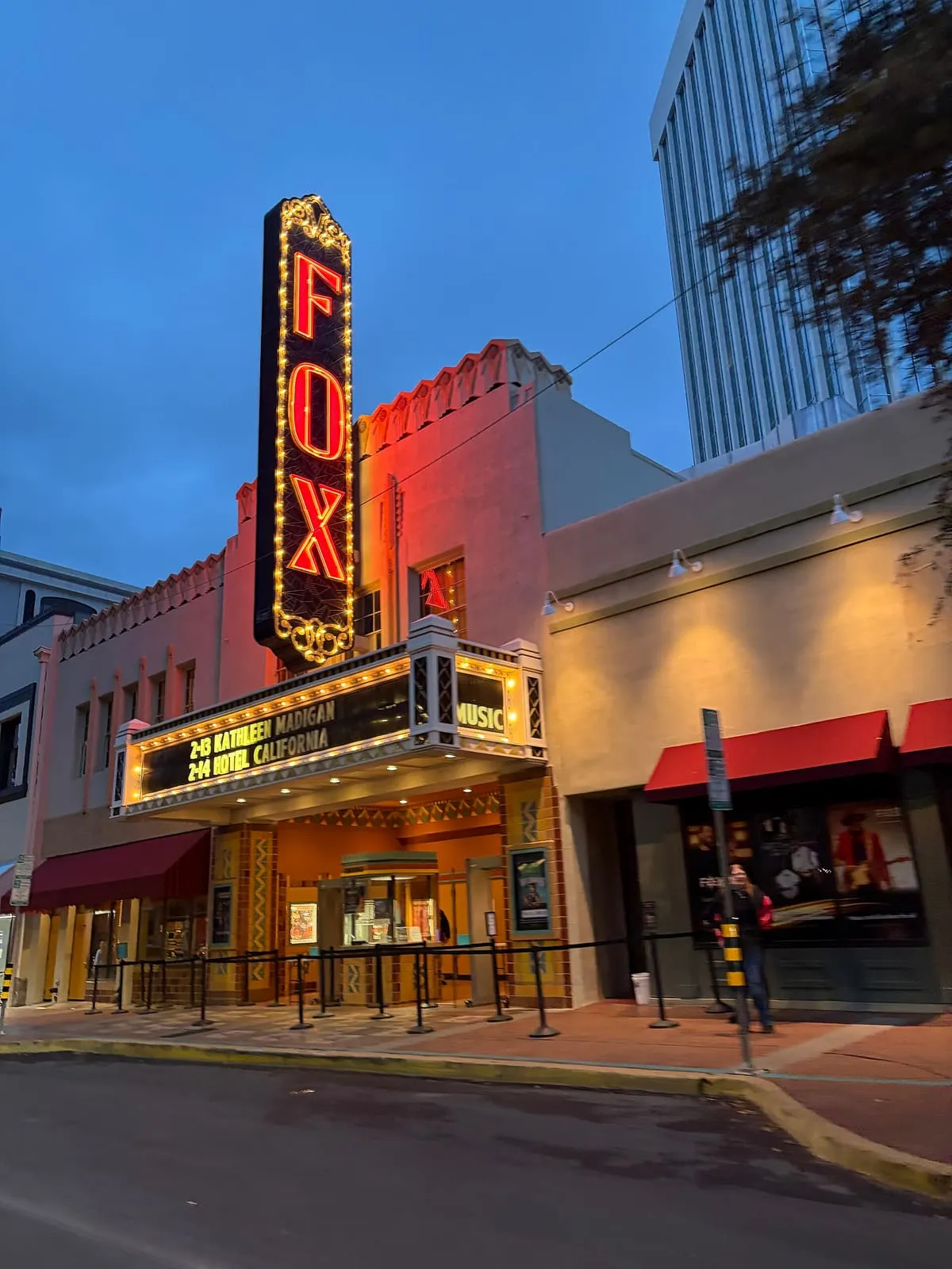
A performance space in downtown Tucson that opened on 11 April 1930 and stages ballet, jazz, pop, world music and rock.
76 Score 42.8 out of 100 42.8
Historic Site
Four Grand Canyon buildings designed by Mary Colter between 1905 and 1932, declared a National Historic Landmark as a set in 1987.
77 Score 42.8 out of 100 42.8
Historic Site
A Pinal County ghost town beside a large copper mine, emptied from 1958 when Kennecott moved its residents to the new town of Kearny.
78 Score 42.7 out of 100 42.7
Historic Site
A Desert Training Center subcamp south of Hyder, built in August 1942 and closed in May 1944, where two infantry divisions trained.
79 Score 42.6 out of 100 42.6
Historic Site
A near ghost town and small community in Yavapai County, Arizona, formerly known as Turkey Creek or Turkey.
80 Score 42.5 out of 100 42.5
Historic Site
A ranch established on Potrero Creek near Nogales in about 1862, reputed to be the first permanent American ranch in Arizona.
81 Score 42.3 out of 100 42.3
Historic Site
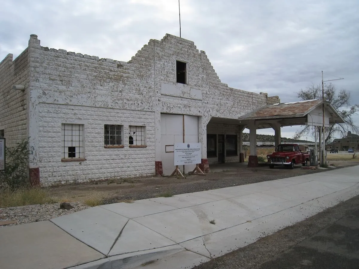
A historic Route 66 service station in Peach Springs, owned by the Hualapai and listed on the National Register in 2012.
82 Score 42.2 out of 100 42.2
Historic Site
An 1856 US Army post south-west of Sonoita, burned by Apaches in 1865 and abandoned; its ruins were rediscovered in 1929.
83 Score 42.0 out of 100 42.0
Historic Site
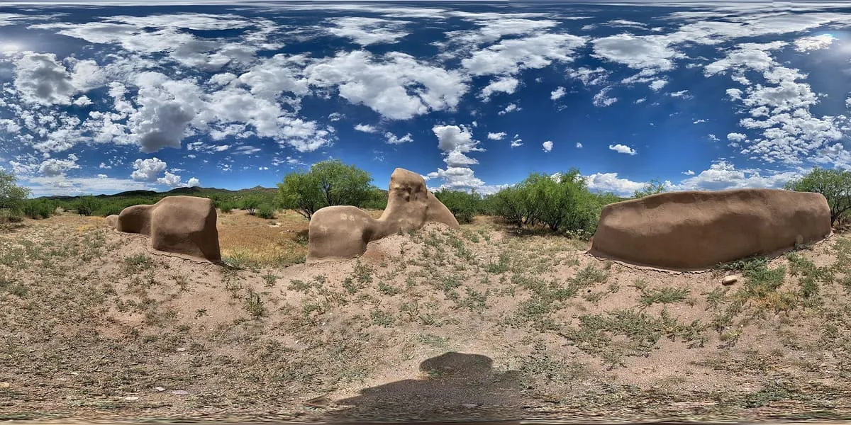
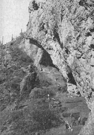
A southern Arizona archaeological site excavated from 1941, whose Pleistocene-age finds were redated and reinterpreted by later researchers.
84 Score 41.9 out of 100 41.9
Historic Site
An urban park in front of the Arizona state capitol in downtown Phoenix, holding memorials to figures, wars and events in state history.
85 Score 41.8 out of 100 41.8
Historic Site
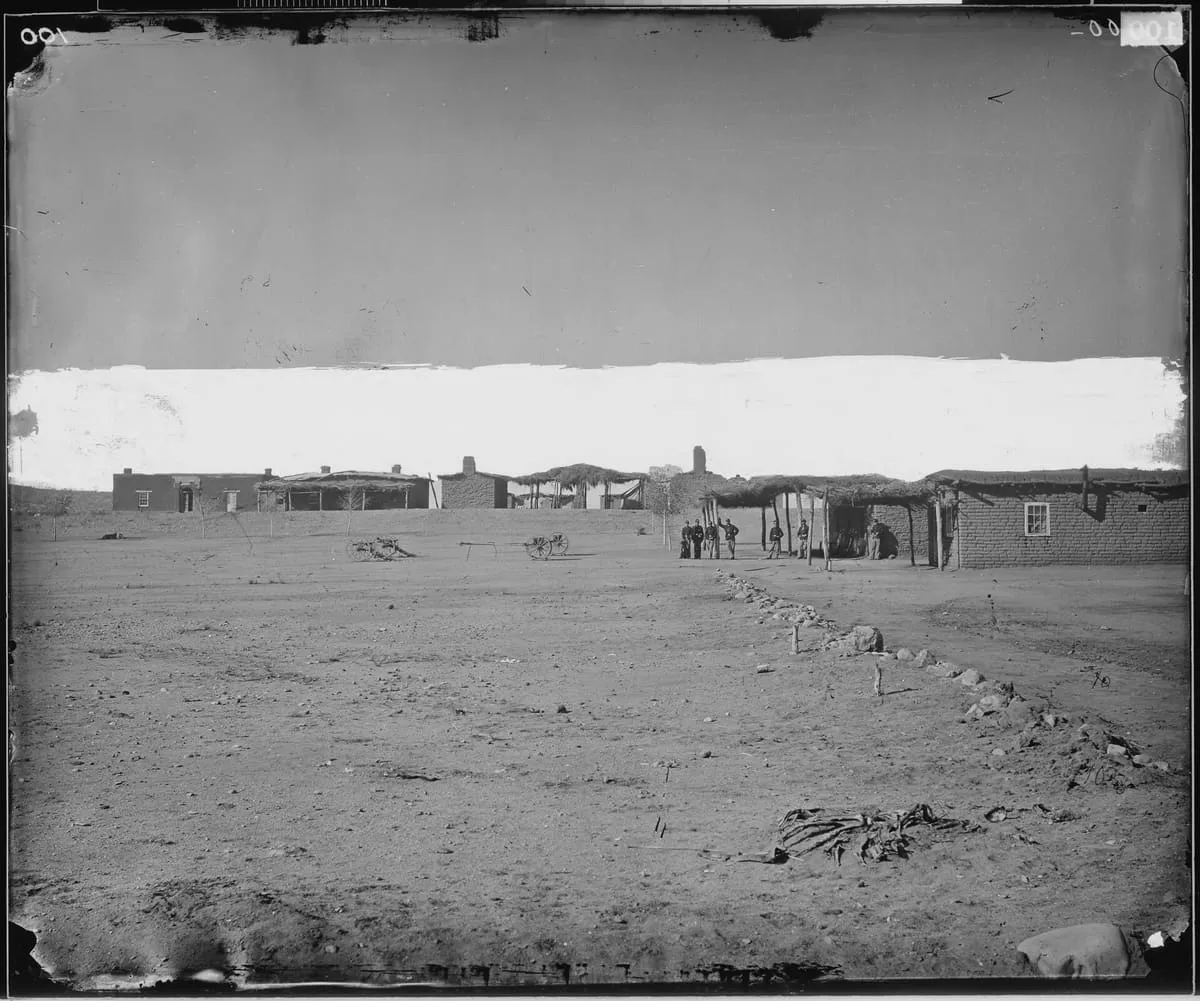
A US military post at the San Pedro River and Aravaipa Creek, built in 1860 as Fort Breckinridge and replaced in 1872; little of it remains.
86 Score 41.6 out of 100 41.6
Historic Site
A Spanish mission, also known as Calabasas, in the Sonoran Desert near present-day Tumacácori, Arizona.
87 Score 41.5 out of 100 41.5
Historic Site
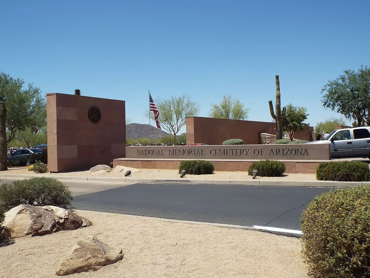
A 225-acre United States national cemetery in Phoenix, holding more than 78,000 interments as of the end of 2016.
88 Score 41.5 out of 100 41.5
Historic Site
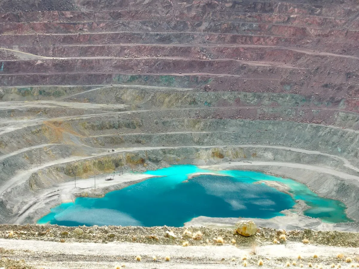
An inactive open-pit copper mine at Ajo, a mile and a half across and 1,100 feet deep, with tailings often called the largest US dam.
89 Score 41.3 out of 100 41.3
Historic Site
A ghost town in south-eastern Cochise County, first settled as Turquoise in the 1870s and re-established under its present name in 1900.
90 Score 41.2 out of 100 41.2
Historic Site
A ghost town in La Paz County, settled around 1909 to mine, process and smelt copper ore from the surrounding claims.
91 Score 41.0 out of 100 41.0
Historic Site
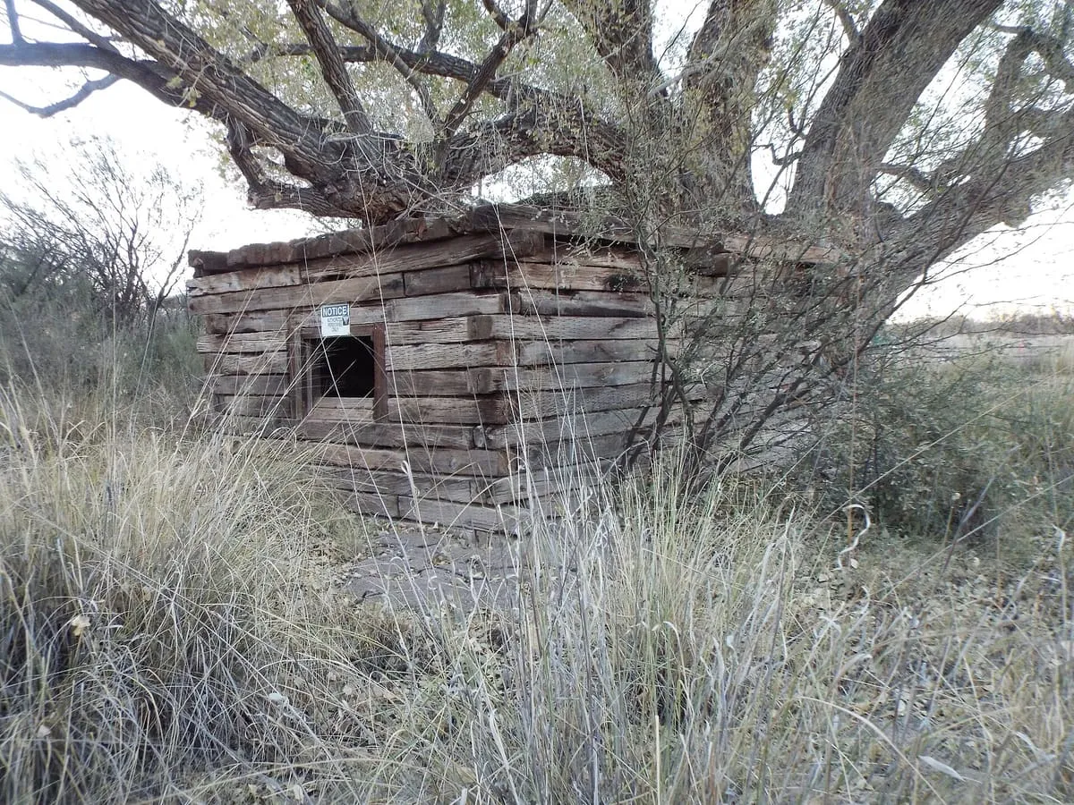
A ruined cabin south-west of Tombstone where at least twenty-one people were killed between 1860 and 1890, many buried on the site.
92 Score 41.0 out of 100 41.0
Historic Site
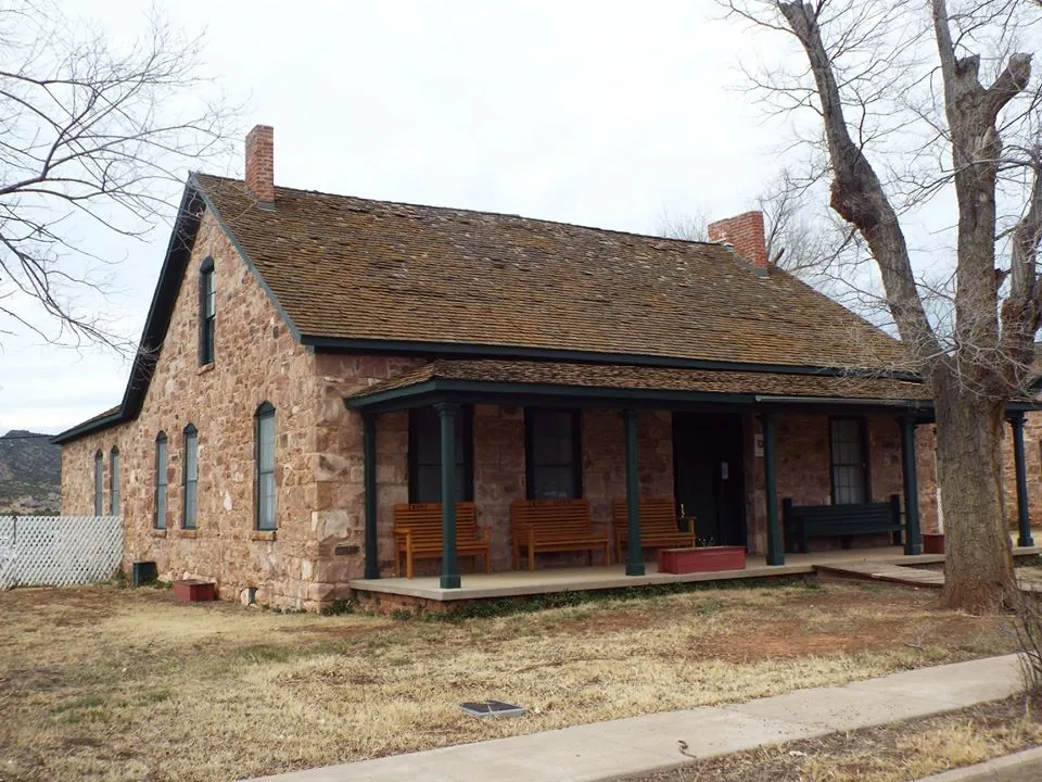
A 288-acre White Mountain Apache tribal park at the former Fort Apache, later a Bureau of Indian Affairs boarding school.
93 Score 40.9 out of 100 40.9
Historic Site
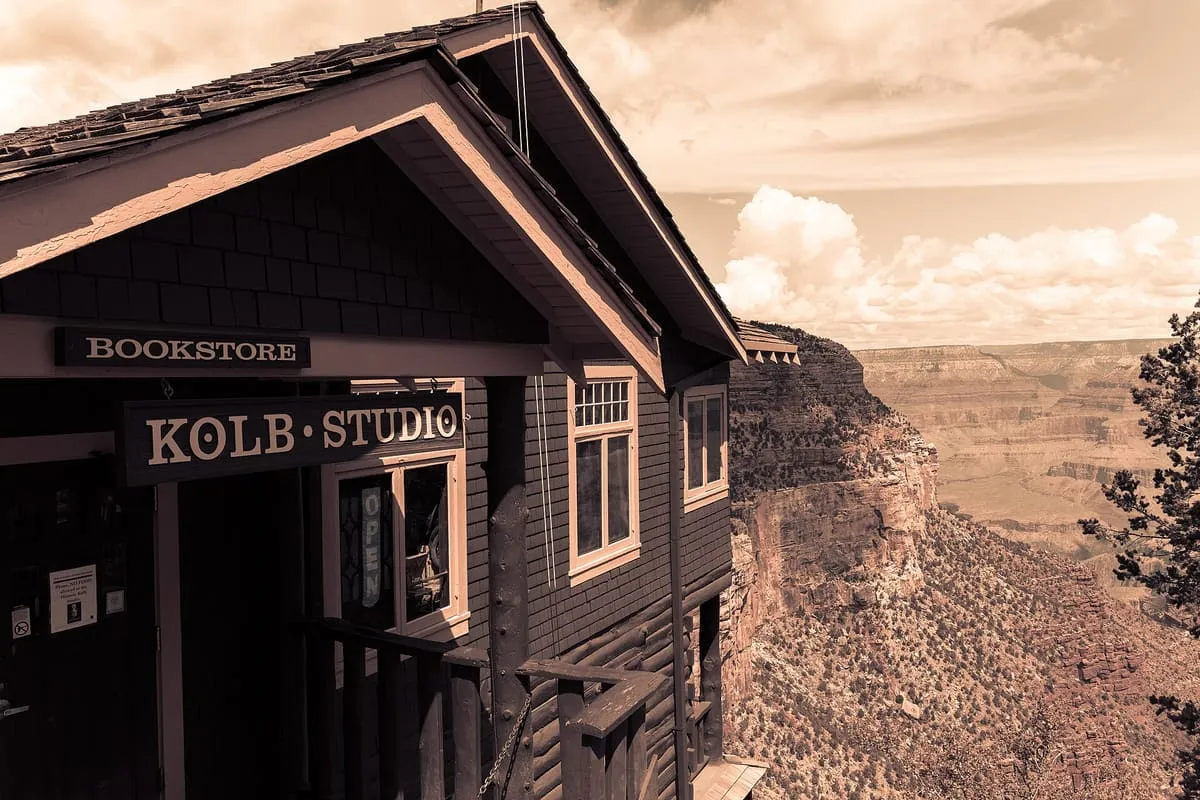
A historic building on the Grand Canyon's South Rim, run from 1904 to 1976 as the photographic studio of Ellsworth and Emery Kolb.
94 Score 40.5 out of 100 40.5
Historic Site
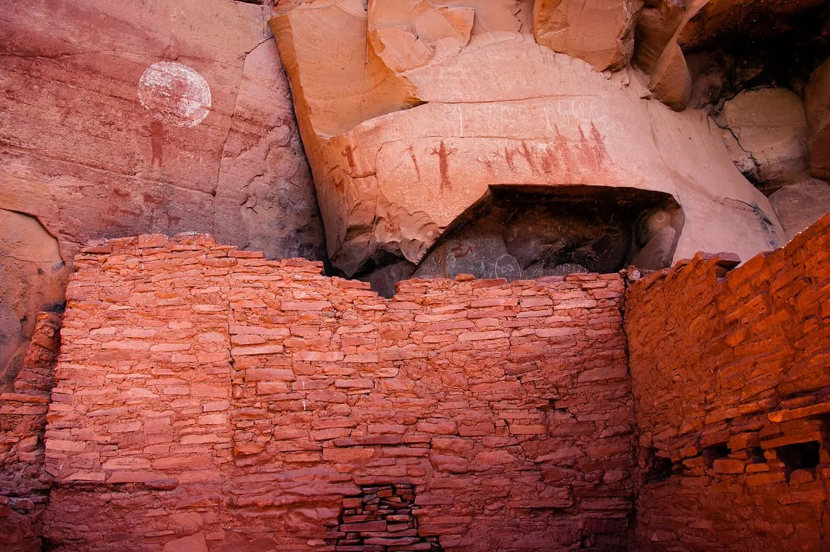
A Sinagua cliff dwelling site near Sedona, with pictographs and petroglyphs dated to between 1100 and 1400 CE.
95 Score 40.4 out of 100 40.4
Historic Site
An uninhabited Gila County mining community named for the claim staked on Christmas Day 1902, once a magnet for holiday mail.
96 Score 40.3 out of 100 40.3
Historic Site
A 200-room Salado masonry pueblo above Pinal Creek near Globe, occupied AD 1225-1400 and now a city archaeological park and museum.
97 Score 40.0 out of 100 40.0
Historic Site
A former border crossing and largely abandoned settlement in the San Rafael Valley, about 25 miles east of Nogales.
98 Score 40.0 out of 100 40.0
Historic Site
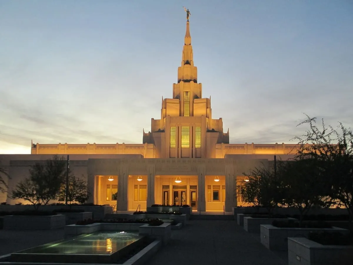
A temple of the Church of Jesus Christ of Latter-day Saints completed in Phoenix in 2014, the church's 144th and the fifth in Arizona.
99 Score 39.9 out of 100 39.9
Historic Site
A ghost town in Yavapai County, Arizona, established in 1862 and lying twelve miles south-east of Prescott.
100 Score 39.9 out of 100 39.9
Historic Site
Archaeological sites on the San Carlos Apache Reservation where a 1946-60 field school found Ancestral Pueblo, Mogollon and Hohokam evidence.
101 Score 39.8 out of 100 39.8
Historic Site
A Coconino National Forest campsite linked to Clinton Hart Merriam, the United States' first eco-biologist, and a landmark since 1965.
102 Score 39.8 out of 100 39.8
Historic Site
A Whitewater Draw site excavated from 1926 by Byron Cummings and Emil Haury, which defined the Cochise culture in 1941.
103 Score 39.8 out of 100 39.8
Historic Site
A Hohokam platform-mound site near Gila Bend, home to over 500 people between AD 800 and 1200, excavated in 1959-60.
104 Score 39.8 out of 100 39.8
Historic Site
A 1963 Navajo Nation chapter house in Klagetoh tied to leader Annie Dodge Wauneka, designated a National Historic Landmark in 2021.
105 Score 39.8 out of 100 39.8
Historic Site
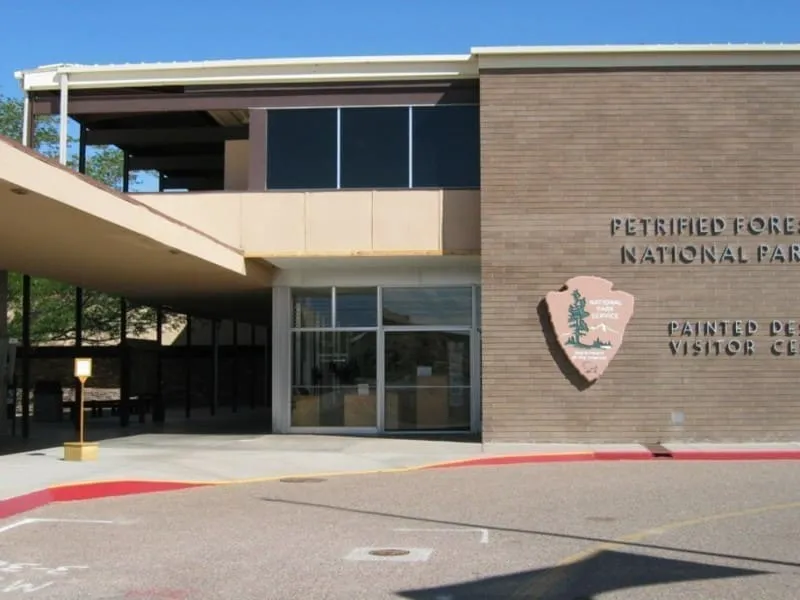
Petrified Forest National Park's 1961-65 administrative complex, designed by Richard Neutra and Robert Alexander, became a landmark in 2016.
106 Score 39.8 out of 100 39.8
Historic Site
Ganado Mission's nursing school, the first accredited programme for Native American women in the US, became a landmark in 2009.
107 Score 39.8 out of 100 39.8
Historic Site
A Coconino County site where 1940s excavations found Hohokam pit houses, though later researchers link finds to the Sinagua instead.
108 Score 39.7 out of 100 39.7
Historic Site
A silver-mining ghost town in Santa Cruz County, whose Hermosa mine yielded some $365,455 in bullion over four months in 1880.
109 Score 39.7 out of 100 39.7
Historic Site
A ghost town in Pima County settled in 1891 and abandoned in the early 1920s, most of it now fenced off by active mining.
110 Score 39.7 out of 100 39.7
Historic Site
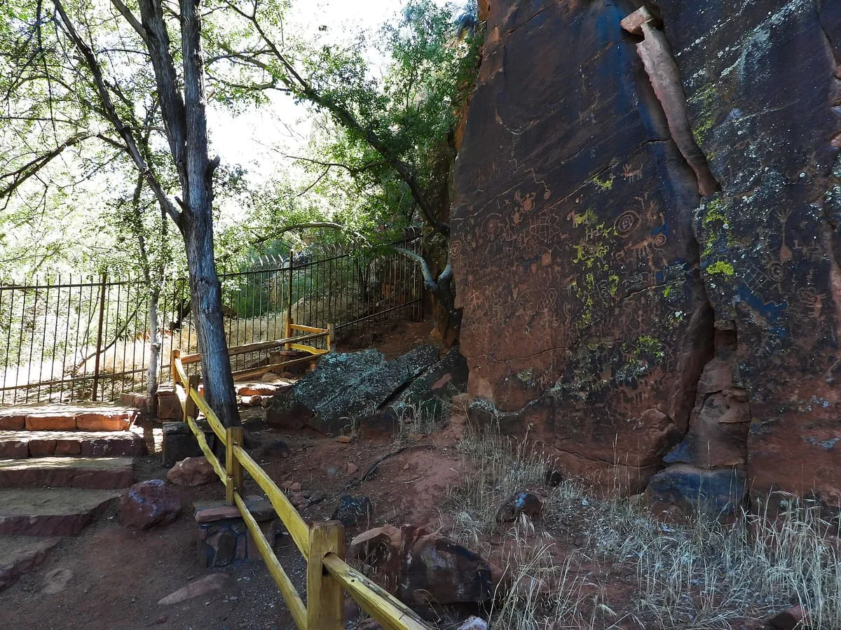
The largest known petroglyph site in the Verde Valley, with 1,032 petroglyphs in 13 panels, held by the Coconino National Forest.
111 Score 39.6 out of 100 39.6
Historic Site
A ghost town within Rio Rico, a suburb of Nogales in Santa Cruz County, whose name is Spanish for 'pumpkins'.
112 Score 39.4 out of 100 39.4
Historic Site
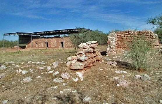
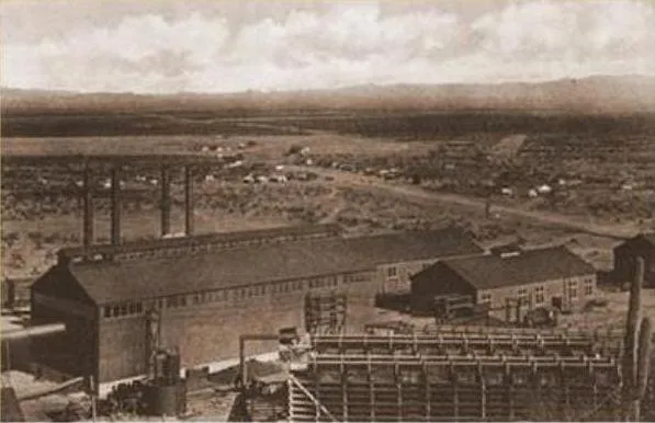
A ghost town in Pinal County west of Red Rock, built as a company town around a large smelter serving several mines.
113 Score 39.1 out of 100 39.1
Historic Site
A ghost town and former mining camp near Sonoita, listed on the National Register of Historic Places since 1995 and maintained by the US Forest Service.
114 Score 38.5 out of 100 38.5
Historic Site
A 47-acre Phoenix preserve holding more than 1,500 Hohokam, Patayan and Archaic petroglyphs, 500 to 5,000 years old, on 500 basalt boulders.
115 Score 37.9 out of 100 37.9
Historic Site
An 1886 Glendale ranch of restored fruit-orchard and vineyard buildings, now a city park listed on the National Register since 1980.
116 Score 37.3 out of 100 37.3
Historic Site
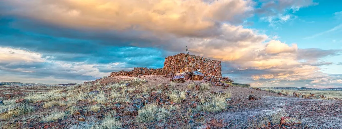
An eight-room Puebloan pueblo in Petrified Forest National Park, built of petrified wood and occupied from about 900 to 1200.
117 Score 34.4 out of 100 34.4
Historic Site
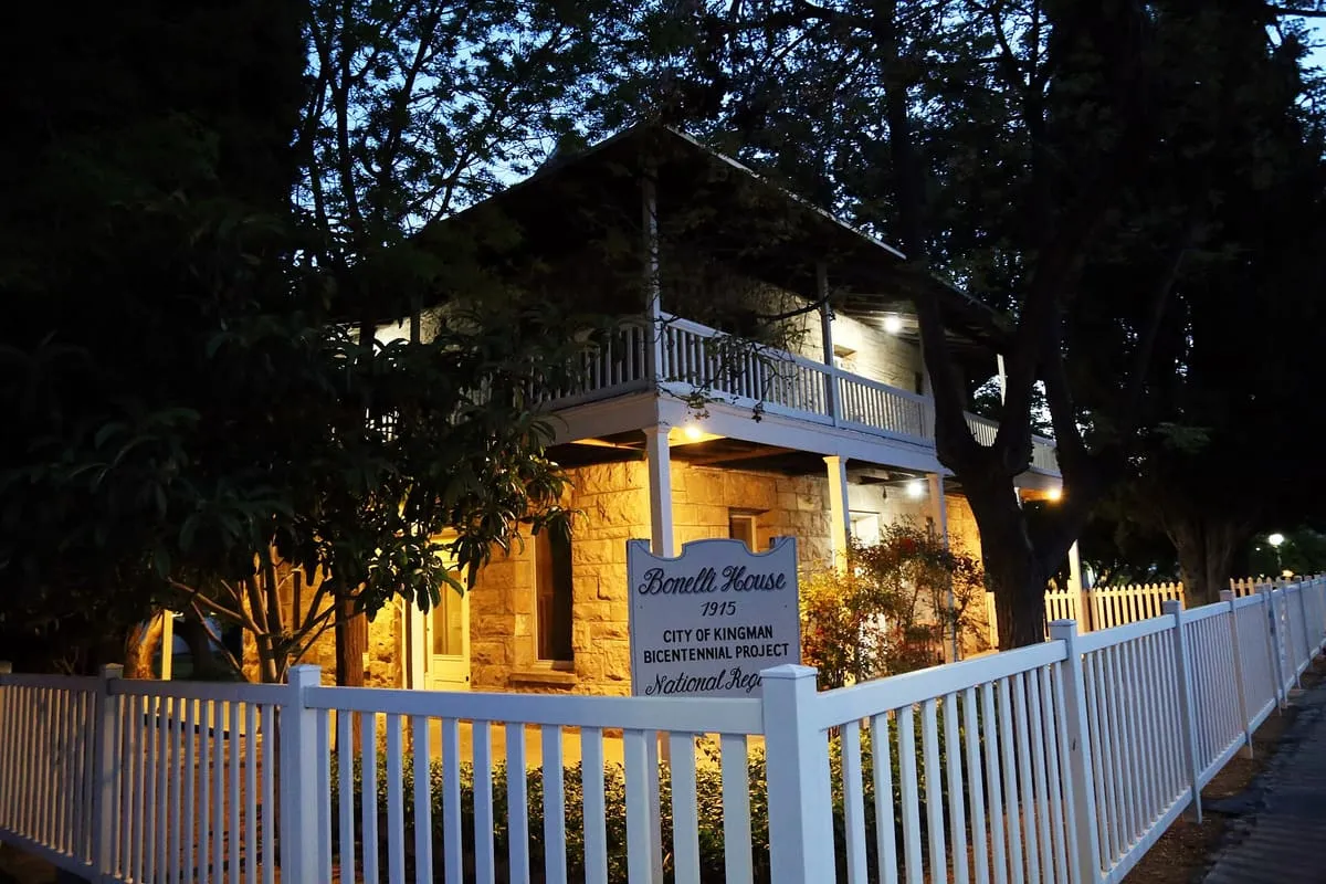
An 1915 Kingman house listed on the National Register following a 1985 survey of 63 local historic resources.
118 Score 34.4 out of 100 34.4
Historic Site
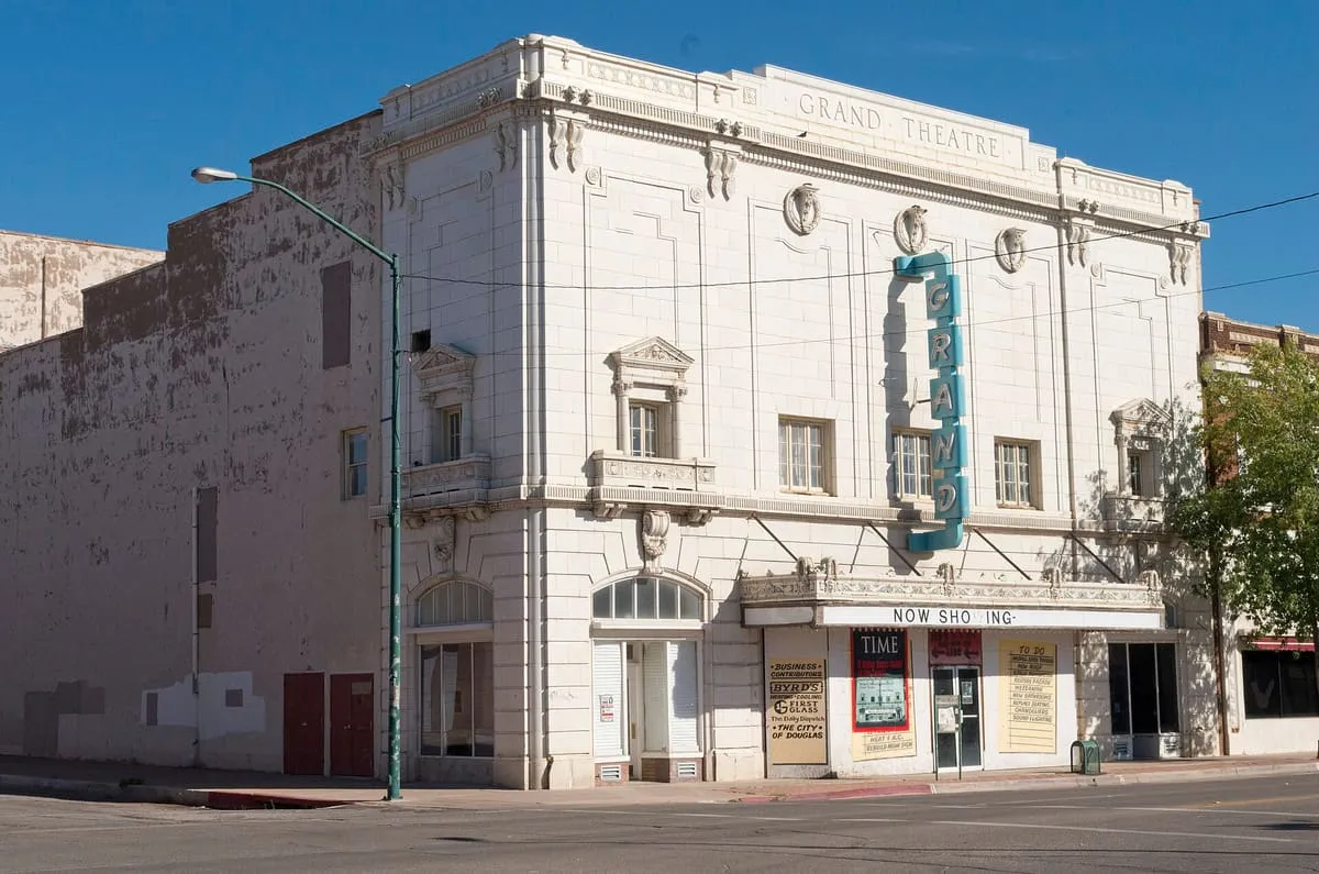
Douglas, Arizona's 1919 Grand Theatre, once host to Ginger Rogers and John Philip Sousa, is under restoration after decades of neglect.
119 Score 34.4 out of 100 34.4
Historic Site
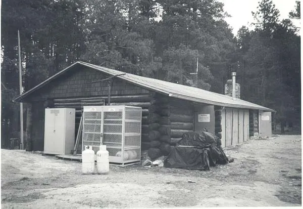
A 1905 log cabin in Saguaro National Park's Rincon Mountains, later used to house Forest Service and Park Service fire and trail crews.
120 Score 34.4 out of 100 34.4
Historic Site
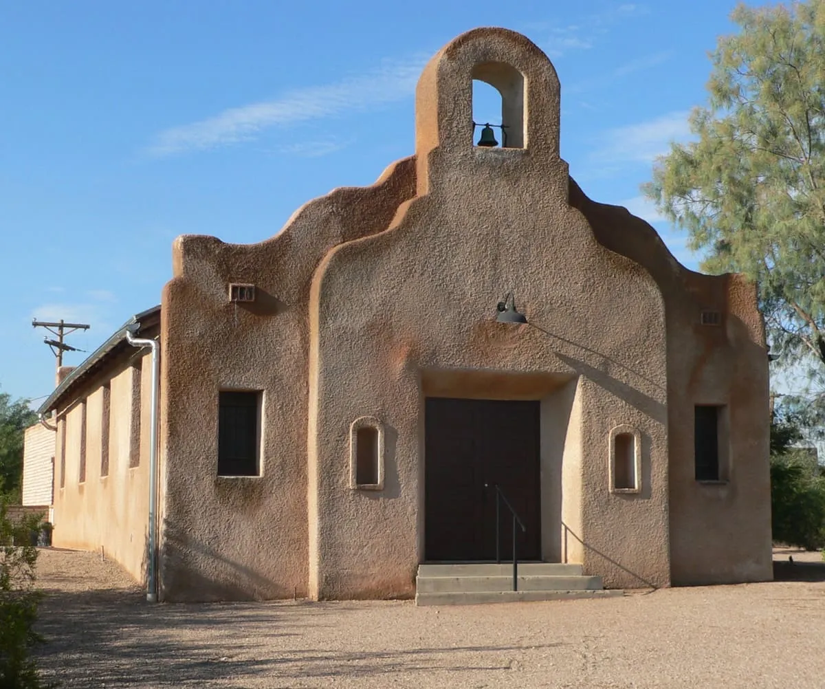
An 1915 adobe chapel built by Mexican and Sicilian immigrants in Tucson's Fort Lowell area, once the centre of the El Fuerte settlement.
121 Score 31.6 out of 100 31.6
Historic Site
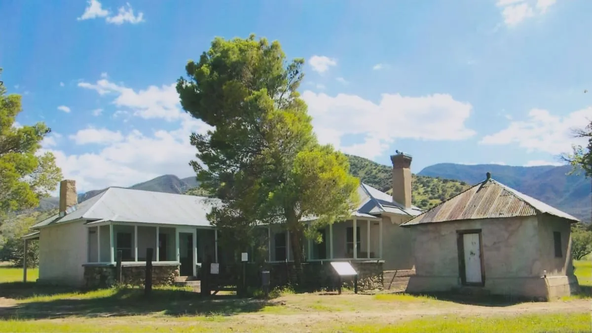
A historic ranch, formerly the Barchas Ranch, in the Huachuca Mountains' foothills near Sierra Vista, with trails linking to the National Forest.
122 Score 25.5 out of 100 25.5
Historic Site
A Monument Valley ruin and petroglyph site on a canyon edge, fenced since 2018 to better protect it, unusually sited on the ground.
123 Score 25.5 out of 100 25.5
Historic Site
Ruins in southern Monument Valley thought to be the largest and most intact in the valley, set in a wide, shallow rock cave.
124 Score 25.5 out of 100 25.5
Historic Site
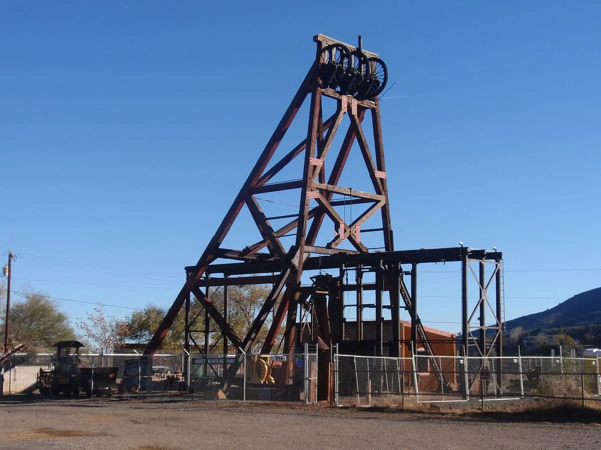
A Jerome mining park with Arizona's largest standing wooden headframe over a 1,900-foot shaft, viewable through a glass platform.
125 Score 25.5 out of 100 25.5
Historic Site
A ghost town near Dateland, once a Southern Pacific Railroad station, now reduced to two standing buildings and foundations.
126 Score 25.5 out of 100 25.5
Historic Site
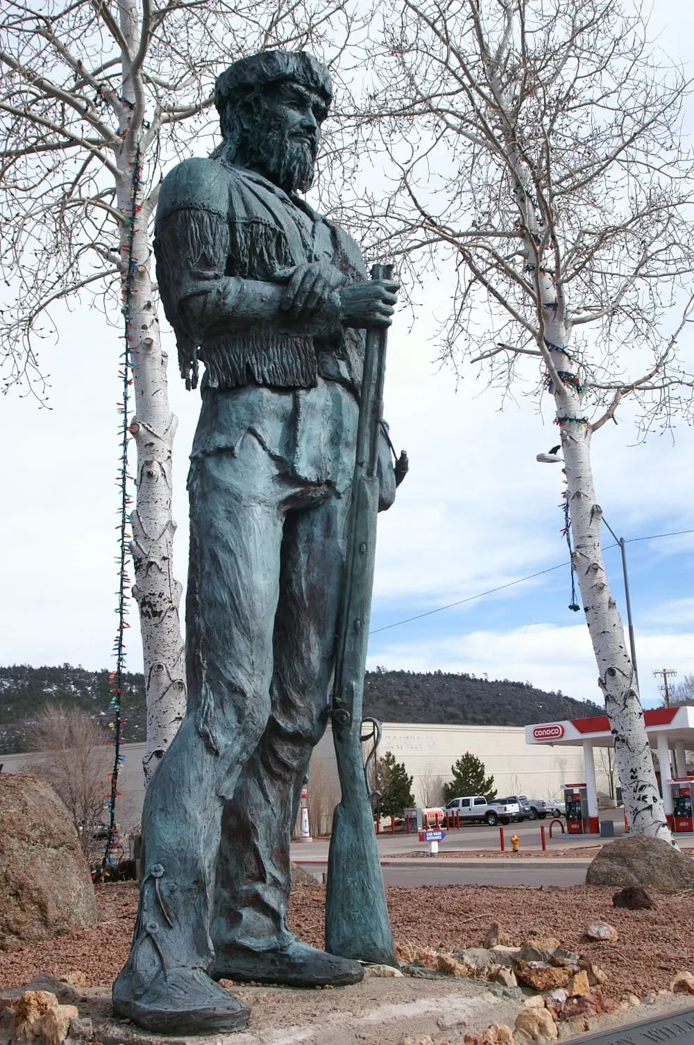
An 8-foot bronze statue in Williams, Arizona, by B. R. Pettit, depicting "Old Bill" Williams, the town's namesake.
127 Score 25.5 out of 100 25.5
Historic Site
A pre-Columbian desert geoglyph near Quartzsite depicting a fisherman, near a Native American lookout and stagecoach ruins.
128 Score 25.5 out of 100 25.5
Historic Site
Brigham City ghost town, in Winslow, Arizona.
129 Score 25.5 out of 100 25.5
Historic Site
A 1917 border fort near Bisbee, said to be the only one remaining on the US-Mexico line, partly restored and partly fenced off.
130 Score 25.5 out of 100 25.5
Historic Site
A former U.S. Army post in the Chiricahua Mountains, abandoned in 1890, with a number of buildings still standing.
131 Score 25.5 out of 100 25.5
Historic Site
Cliff Dwellers Stone House, in Vermilion Cliffs National Monument, Arizona.
132 Score 25.5 out of 100 25.5
Historic Site
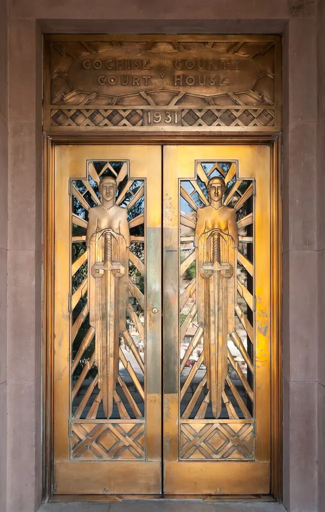
Bisbee's Art Deco county courthouse, designed by Roy Place, with copper doors and New Deal-era artwork including a hardware relief map.
133 Score 25.5 out of 100 25.5
Historic Site
A Dragoon Mountains site believed to be the burial place of Apache chief Cochise, and the start of the five-mile Cochise Trail.
134 Score 25.5 out of 100 25.5
Historic Site
A Gila County ghost town founded in 1908 with 500 residents working nearby mines, abandoned in 1933 during the Depression.
135 Score 25.5 out of 100 25.5
Historic Site
A 1935 New Deal sculpture in Bisbee, cast in concrete and copper, modelled on local resident Lee Petrovitch to honour the town's miners.
136 Score 25.5 out of 100 25.5
Historic Site
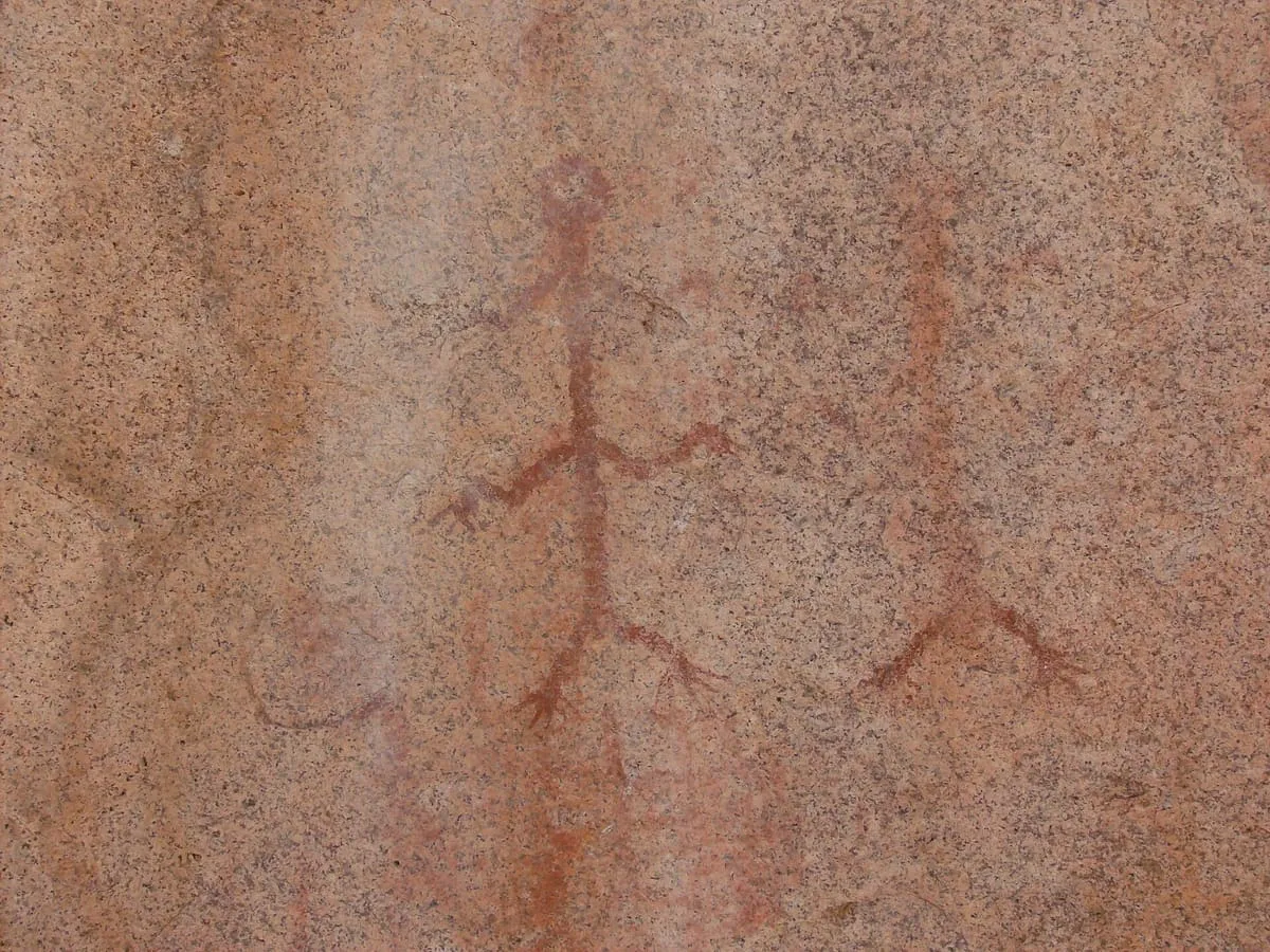
A Dragoon Mountains site amid boulders with pre-Columbian pictographs, believed to be where Cochise and General Howard negotiated an 1872 treaty.
137 Score 25.5 out of 100 25.5
Historic Site
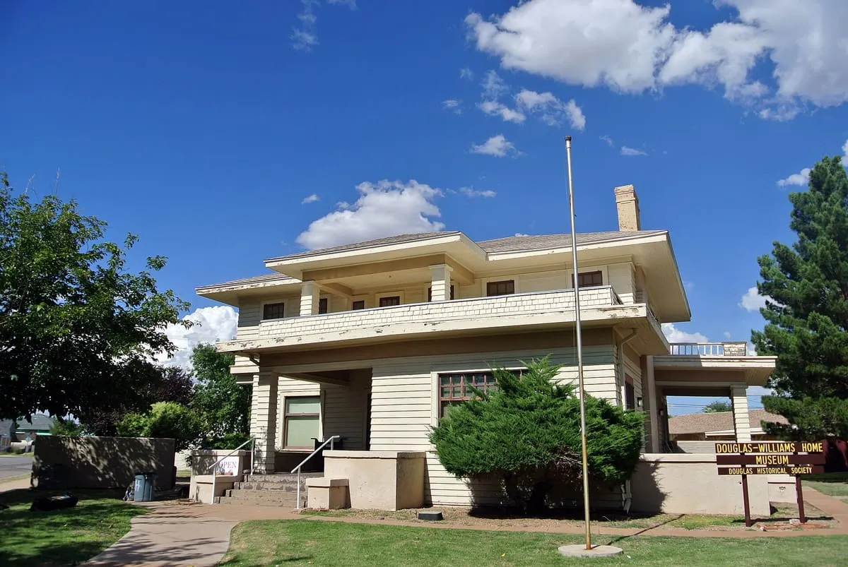
A small museum in Douglas, Arizona, displaying historic photographs and memorabilia from the surrounding area.
138 Score 25.5 out of 100 25.5
Historic Site
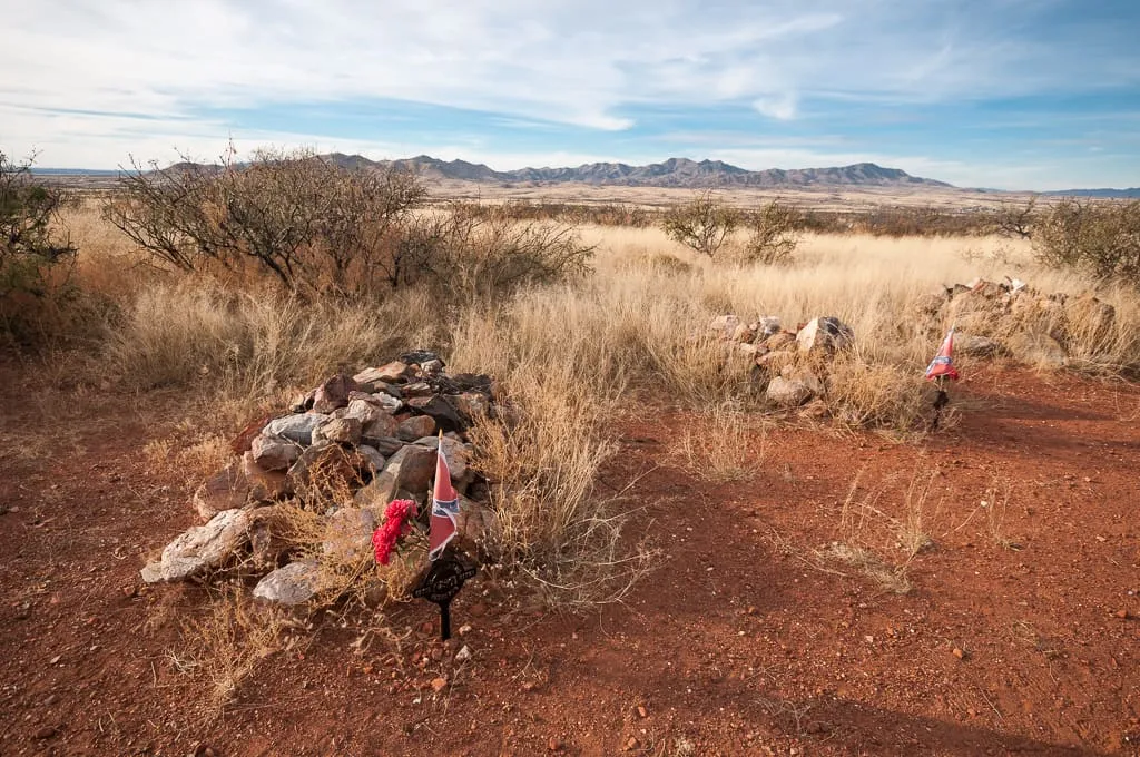
A Dragoon Mountains site with a ruined Butterfield stagecoach station and Civil War graves from the First Battle of Dragoon Springs.
139 Score 25.5 out of 100 25.5
Historic Site
Hundreds of pre-Columbian petroglyphs near Quartzsite, along a path past a ruined stone cabin and springs to a cliff base.
140 Score 25.5 out of 100 25.5
Historic Site
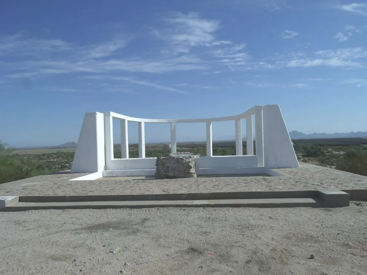
A monument near Tombstone marking the site of Ed Schieffelin's silver claim, the discovery that led to the town's founding.
141 Score 25.5 out of 100 25.5
Historic Site
A Sinagua archaeological site in Flagstaff with an interpretive trail, managed by the Coconino National Forest Service for education programs.
142 Score 25.5 out of 100 25.5
Historic Site
A former homestead in Chiricahua National Monument, settled in 1887 by Swedish immigrants Emma and Neil Erickson, later expanded into a house.
143 Score 25.5 out of 100 25.5
Historic Site
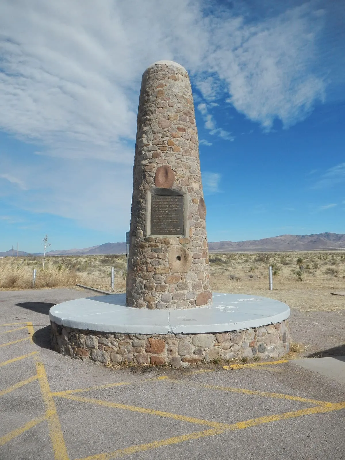
A Chiricahua Mountains monument marking the 1886 surrender of Geronimo to General Nelson Miles, near the largely inaccessible actual site.
144 Score 25.5 out of 100 25.5
Historic Site
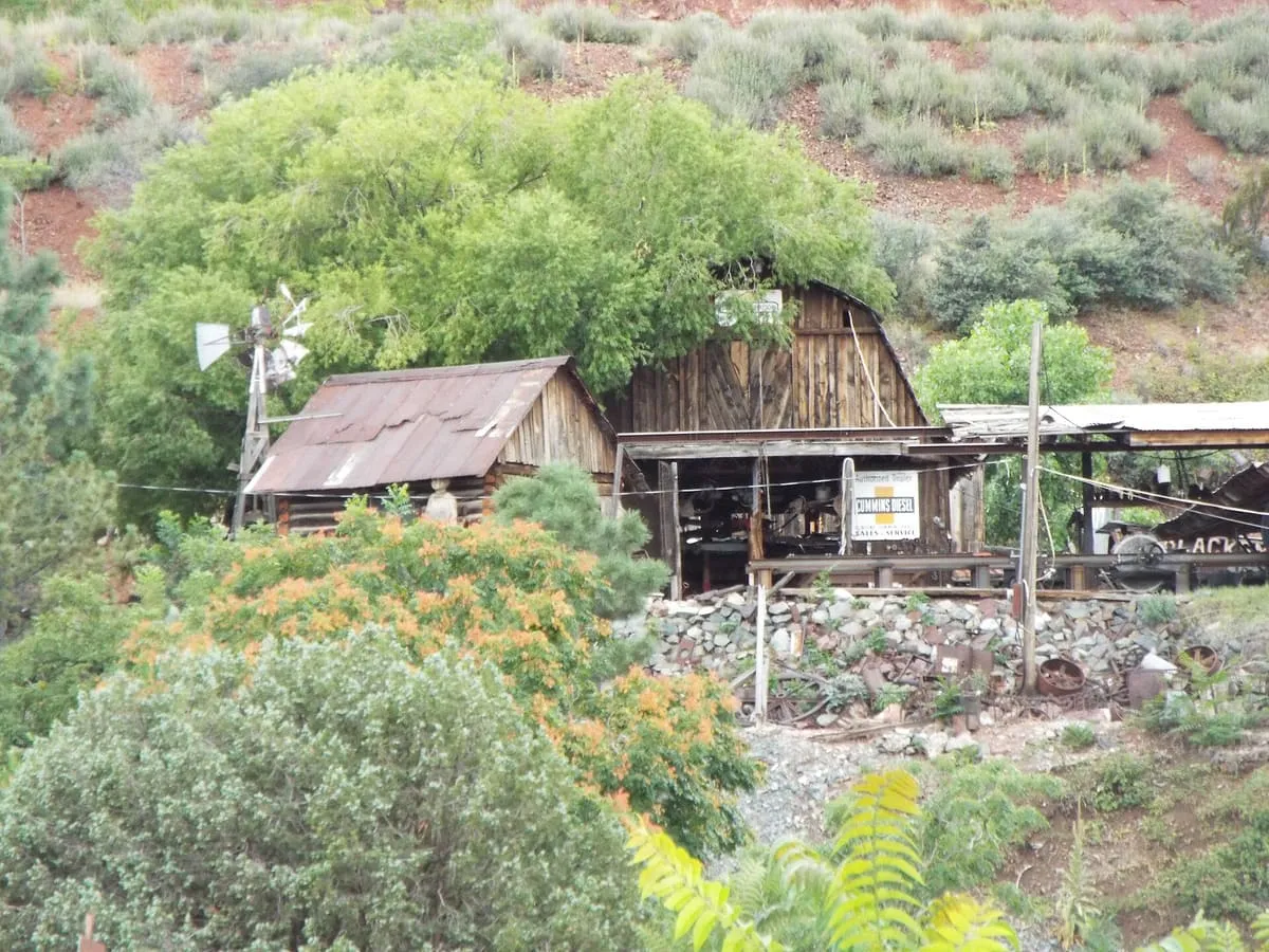
Gold King Mine Ghost Town, near Jerome, Yavapai County, Arizona, preserves the grounds of a former mine, with gold panning offered on-site.
145 Score 25.5 out of 100 25.5
Historic Site
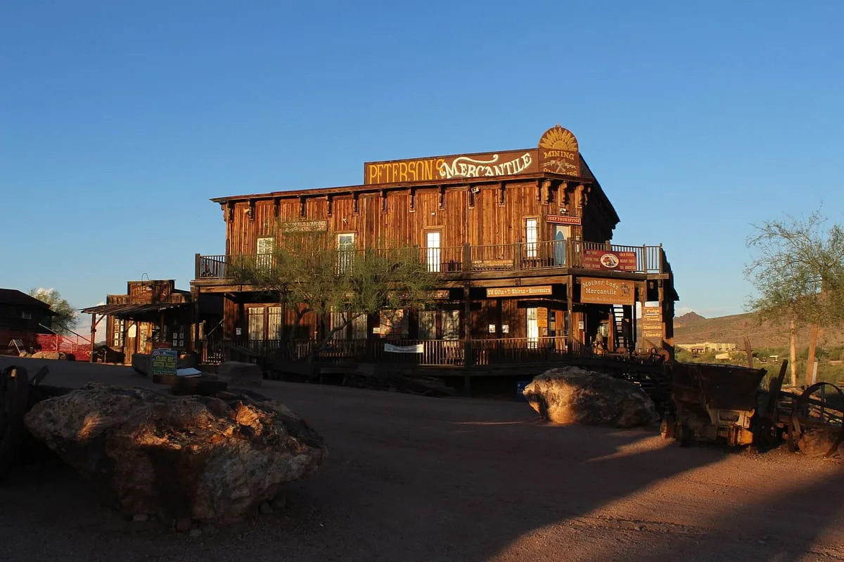
An 1893 mining settlement below the Superstition Mountains, rebuilt in full as a visitor attraction.
146 Score 25.5 out of 100 25.5
Historic Site
A ruined former copper mine in Grand Canyon–Parashant National Monument, reached by a rough road that can defeat standard pickup trucks.
147 Score 25.5 out of 100 25.5
Historic Site
Known as one of the best locations for antiques. Has many historical and cultural facilities and events.
148 Score 25.5 out of 100 25.5
Historic Site
Full of delightful shops and amusements.
149 Score 25.5 out of 100 25.5
Historic Site
A Sinagua cliff dwelling near Sedona with numerous pictographs, inhabited from about 1100 to 1300 CE and managed by the Coconino National Forest.
150 Score 25.5 out of 100 25.5
Historic Site
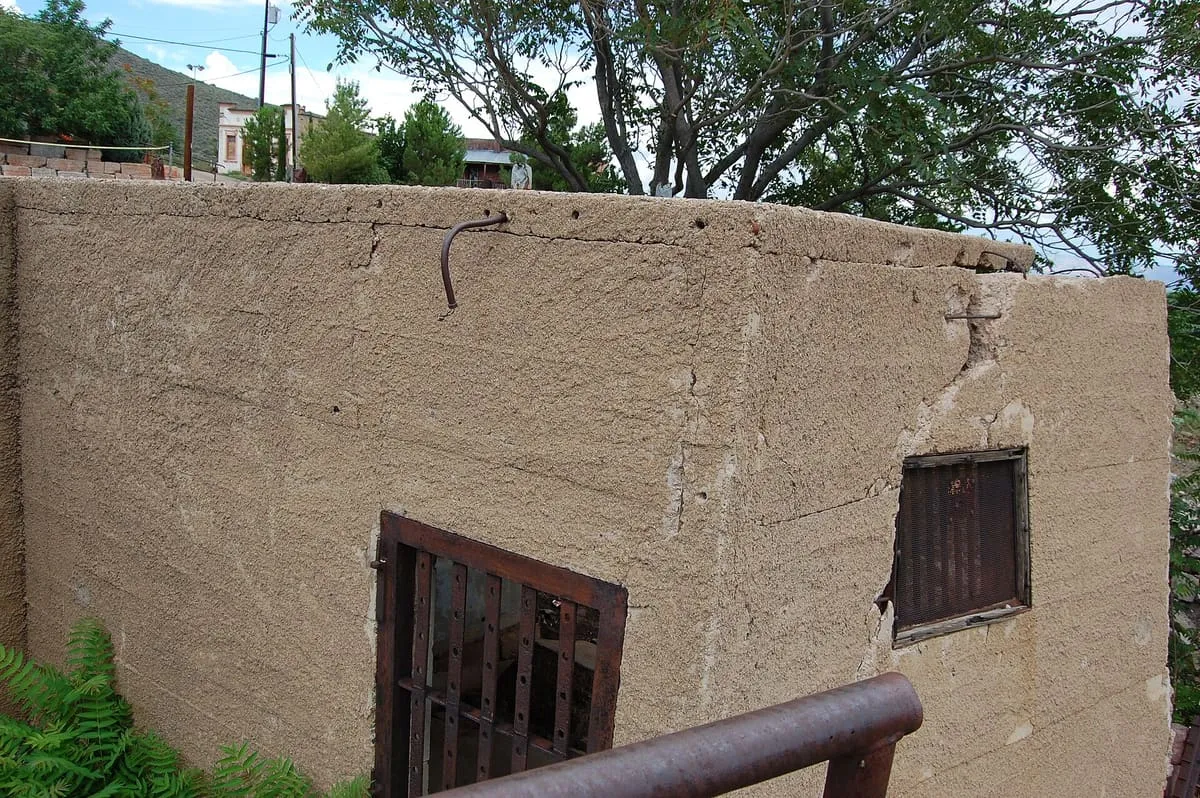
Jerome's Sliding Jail, in Jerome, Arizona.
151 Score 25.5 out of 100 25.5
Historic Site
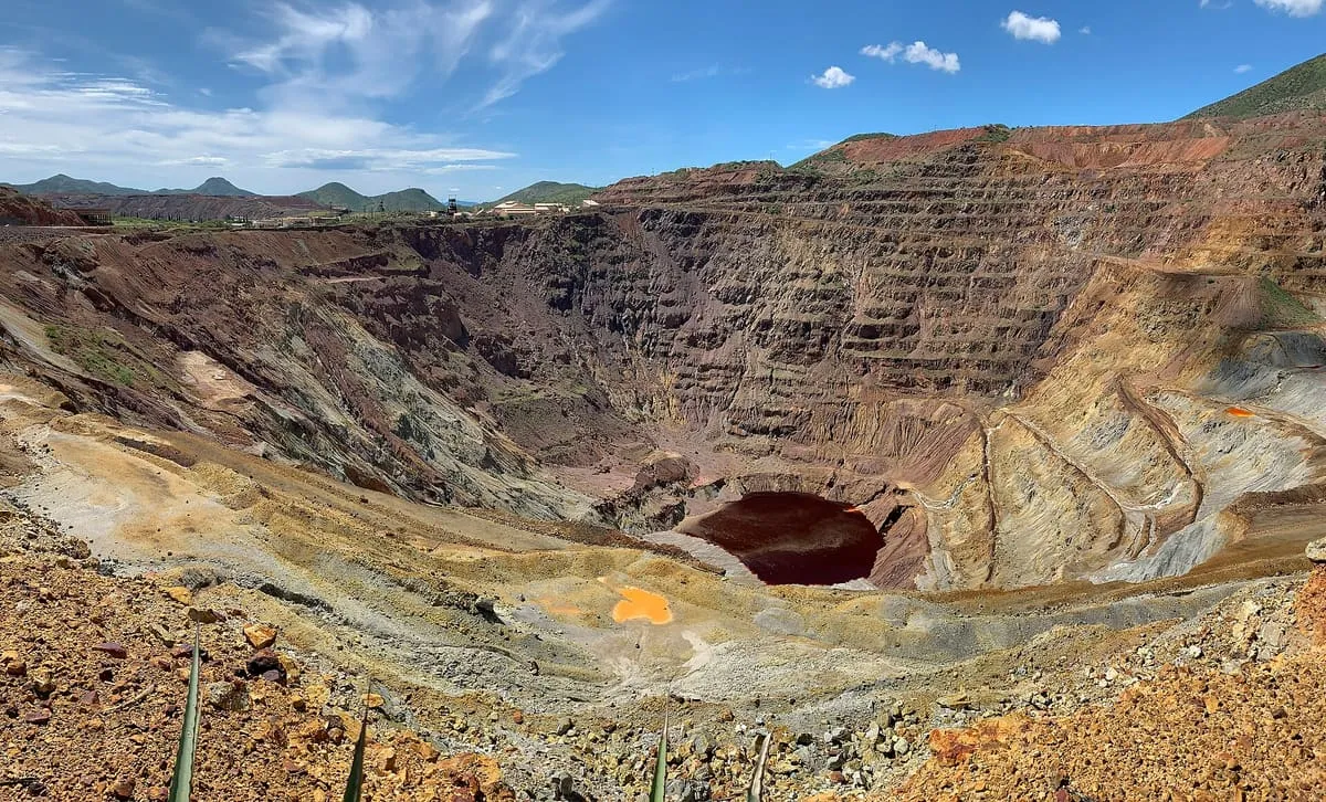
A former Bisbee copper mine that produced about 600,000 tons of copper from 1950 to 1974, viewable from a roadside platform.
152 Score 25.5 out of 100 25.5
Historic Site
Morenci Mine Overlook, near Morenci, Greenlee County, Arizona, is a vantage point over the town's mining operation.
153 Score 25.5 out of 100 25.5
Historic Site
A historic Nogales shopping street of early-1900s buildings, with several stores still run by descendants of their founders.
154 Score 25.5 out of 100 25.5
Historic Site
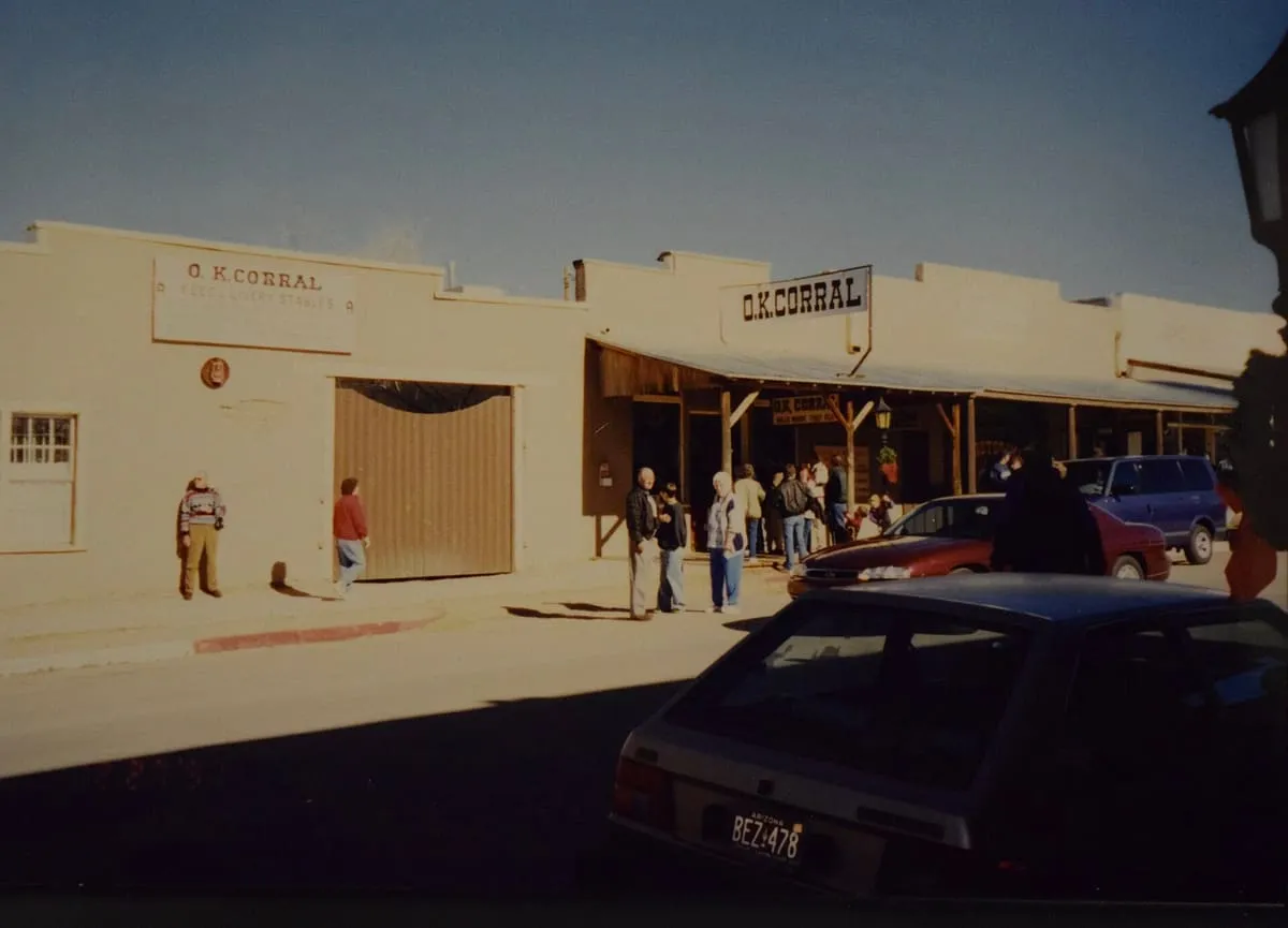
Tombstone's O.K. Corral, a former horse corral and National Historic Landmark, stages a daily re-enactment of its namesake gunfight.
155 Score 25.5 out of 100 25.5
Historic Site
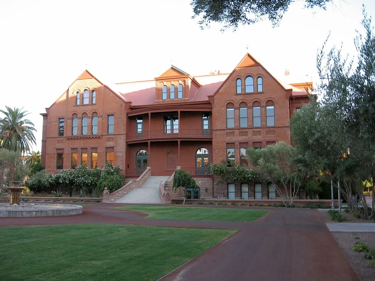
Old Main, in Tempe, Arizona, is the original building of the school it belongs to, dating from the school's founding.
156 Score 25.5 out of 100 25.5
Historic Site
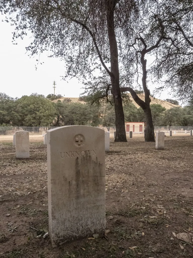
Old Post Cemetery, in Sierra Vista, Arizona, holds the graves of Apache Wars cavalry, Buffalo Soldiers, and Apache scouts, some marked only 'Unknown'.
157 Score 25.5 out of 100 25.5
Historic Site
Park of the Canals, in Mesa, Arizona.
158 Score 25.5 out of 100 25.5
Historic Site
Presidio Santa Cruz de Terranate, near Tombstone, Arizona, holds the most intact US remains of a Spanish colonial fortress, built in 1776 and abandoned by 1780.
159 Score 25.5 out of 100 25.5
Historic Site
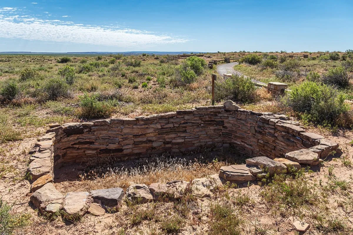
Puerco Pueblo, in Petrified Forest National Park, Arizona, is an 800-year-old pueblo that once held 100 rooms and up to 1,200 people.
160 Score 25.5 out of 100 25.5
Historic Site
Rock Art Ranch House and Museum, near Winslow, Arizona, preserves more than 3,000 petroglyphs spanning 6,000 years on a working cattle ranch.
161 Score 25.5 out of 100 25.5
Historic Site
Sanchez CCC Camp, near Safford, Arizona, preserves several buildings of a Depression-era Civilian Conservation Corps camp, managed by the BLM.
162 Score 25.5 out of 100 25.5
Historic Site
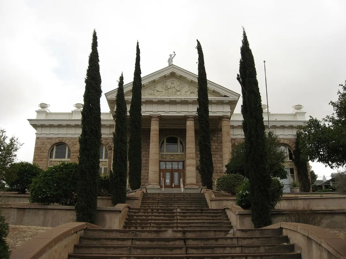
Santa Cruz County Courthouse, an 1904 landmark in Nogales, Arizona, now houses Cochise College's Nogales branch and the Arizona Ranger Museum.
163 Score 25.5 out of 100 25.5
Historic Site
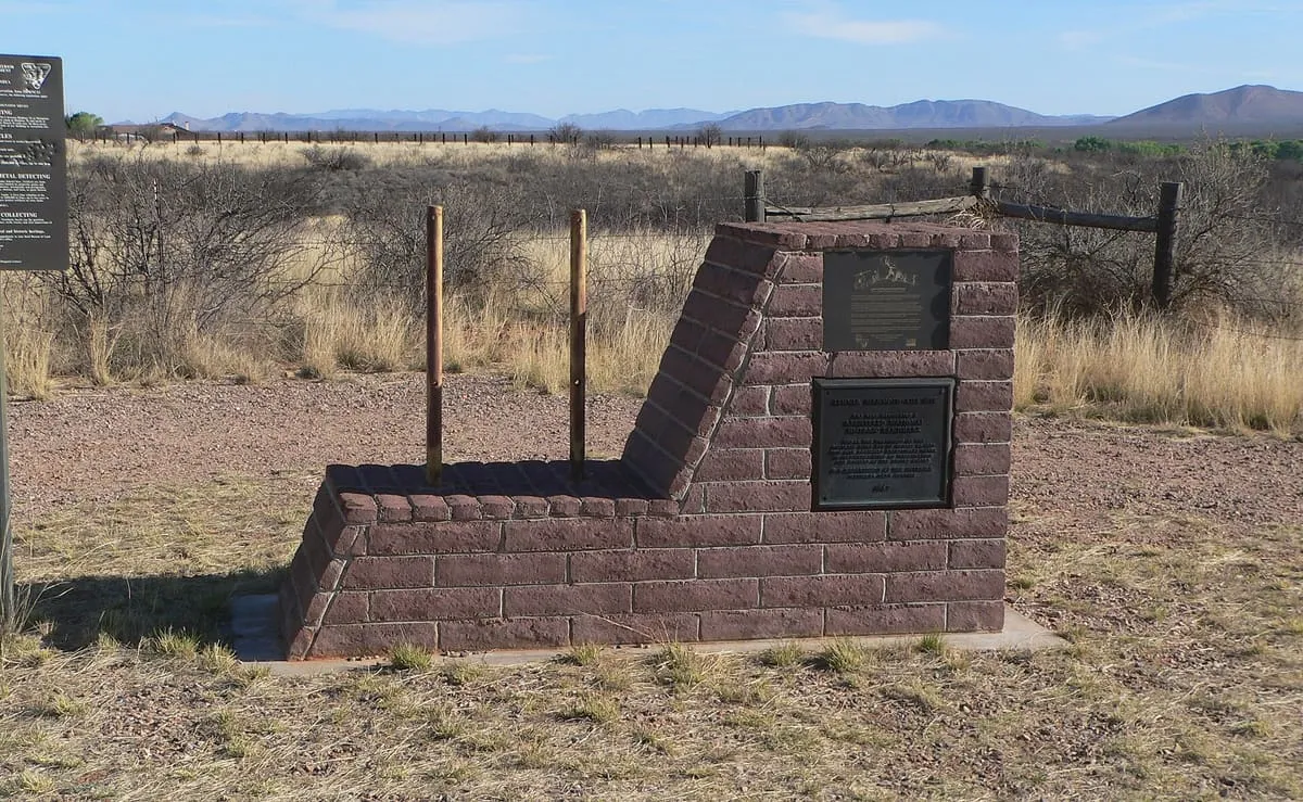
Tassi Ranch, in Grand Canyon–Parashant National Monument, Mohave County, Arizona, is the ruin of a historic ranch.
164 Score 25.5 out of 100 25.5
Historic Site
Tyson Wash grinding holes and petroglyphs, near Quartzsite, Arizona, preserves pre-Columbian petroglyphs on both sides of the wash.
165 Score 25.5 out of 100 25.5
Historic Site
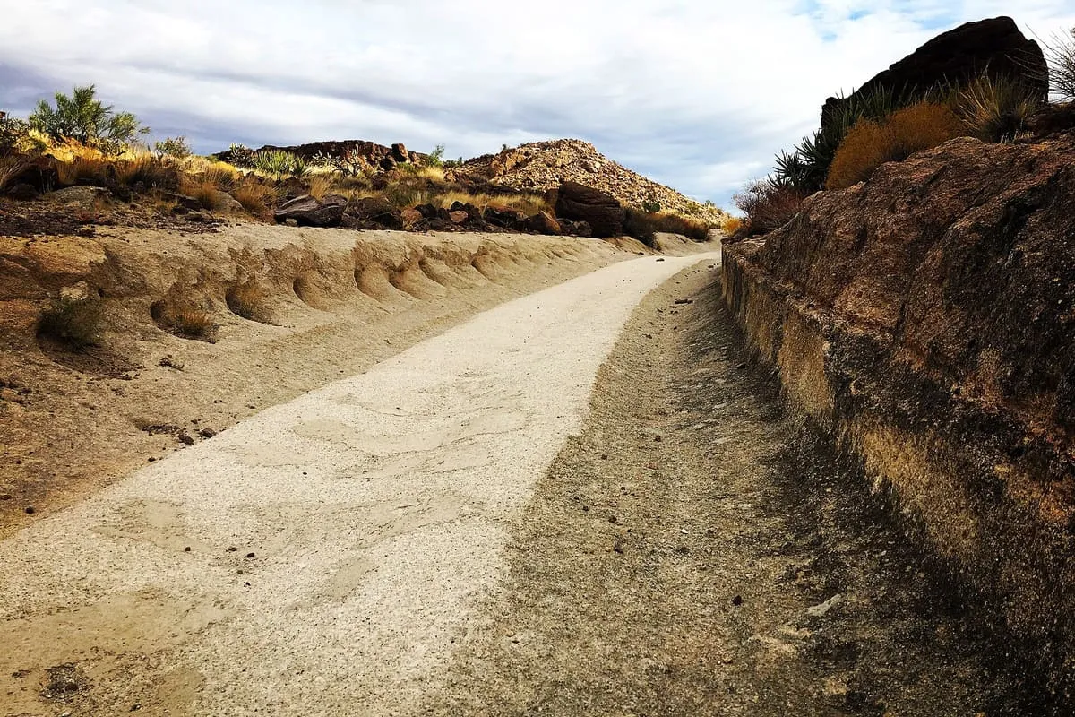
White Cliffs Wagon Trail Park, in Kingman, Arizona, preserves an 1800s mining wagon route with wheel tracks cut into bedrock, now used by hikers.
166 Score 25.5 out of 100 25.5
Historic Site
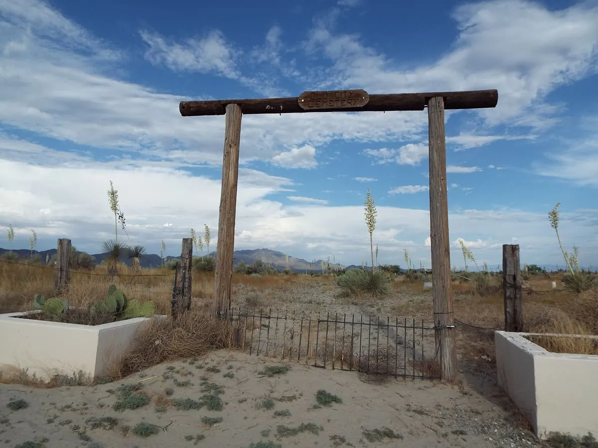
Willcox Pioneer Cemetery, in Willcox, Arizona, is an abandoned pioneer cemetery and the burial site of Warren Baxter Earp, youngest of the Earp brothers.
167 Score 25.5 out of 100 25.5
Historic Site
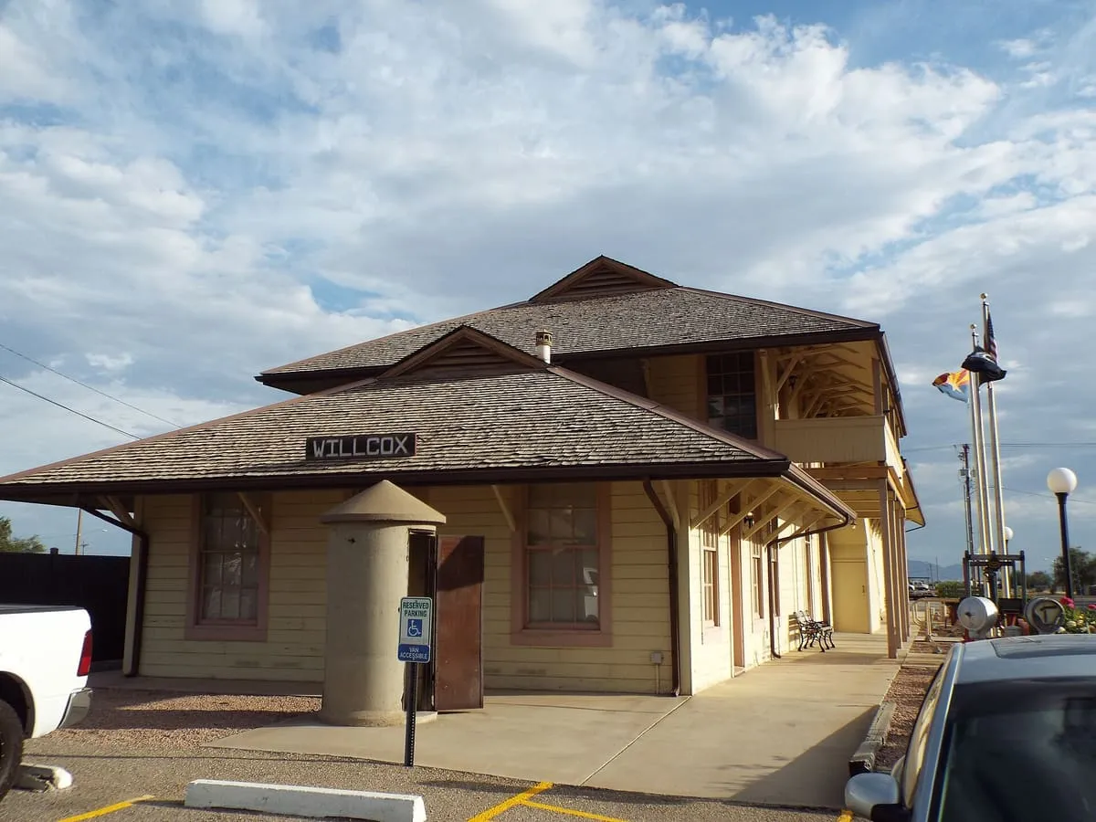
Willcox Southern Pacific Railroad Depot, built in 1881, is the only surviving southern transcontinental railroad depot and now houses Willcox City Hall.
168 Score 25.5 out of 100 25.5
Historic Site
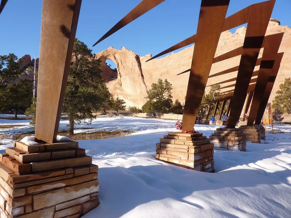
Window Rock Tribal Park and Veteran's Memorial, in Window Rock, Arizona, features the namesake sandstone arch and a memorial to Navajo US military veterans.
How this category is scored Every attraction in this category starts from a significance baseline of 58 out of 100, before any designations it holds are added. The full table is on the methodology page .
None of these publish an official visitor count, so they are ranked on public interest and tourism significance, and none can reach the top score band.