Home Counties Santa Cruz County 26 attractions
1 Score 51.8 out of 100 51.8
Natural Landmark
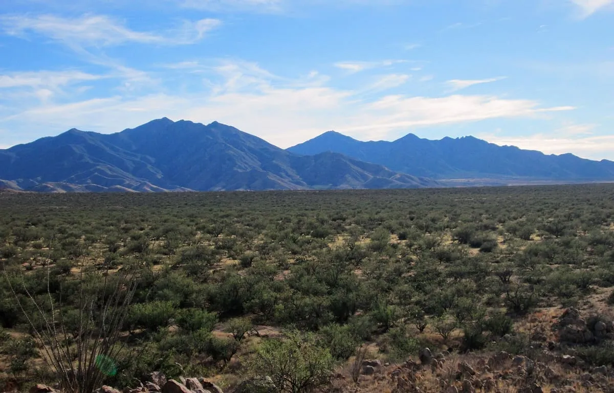
A Madrean sky island range south-east of Tucson, rising to 9,453 feet at Mount Wrightson and containing Madera Canyon.
2 Score 49.1 out of 100 49.1
Natural Landmark
A mountain range 15 miles long in Santa Cruz County, Arizona, lying within the Coronado National Forest.
3 Score 47.6 out of 100 47.6
Historic Site
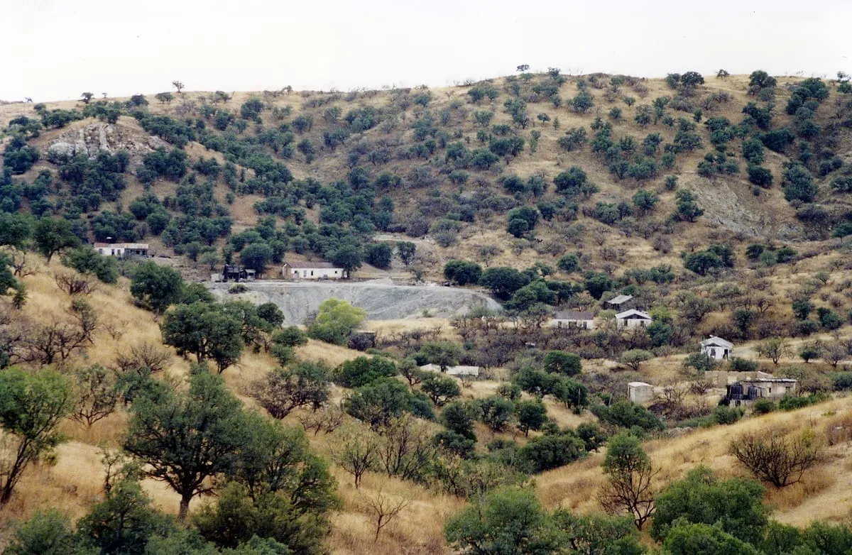
A ghost town in the Pajarita Wilderness near the Mexican border, founded as a mining camp in 1877 under the name Montana Camp.
4 Score 46.6 out of 100 46.6
Natural Landmark
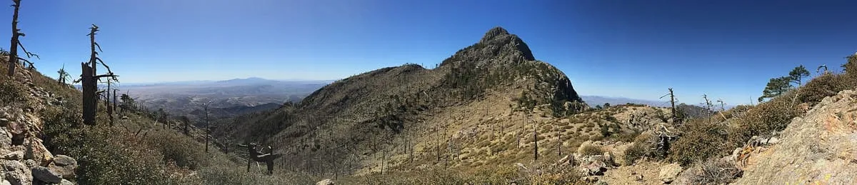
A 9,456-foot peak in the Santa Rita Mountains within the Coronado National Forest, named for the miner William Wrightson.
5 Score 45.5 out of 100 45.5
Historic Site
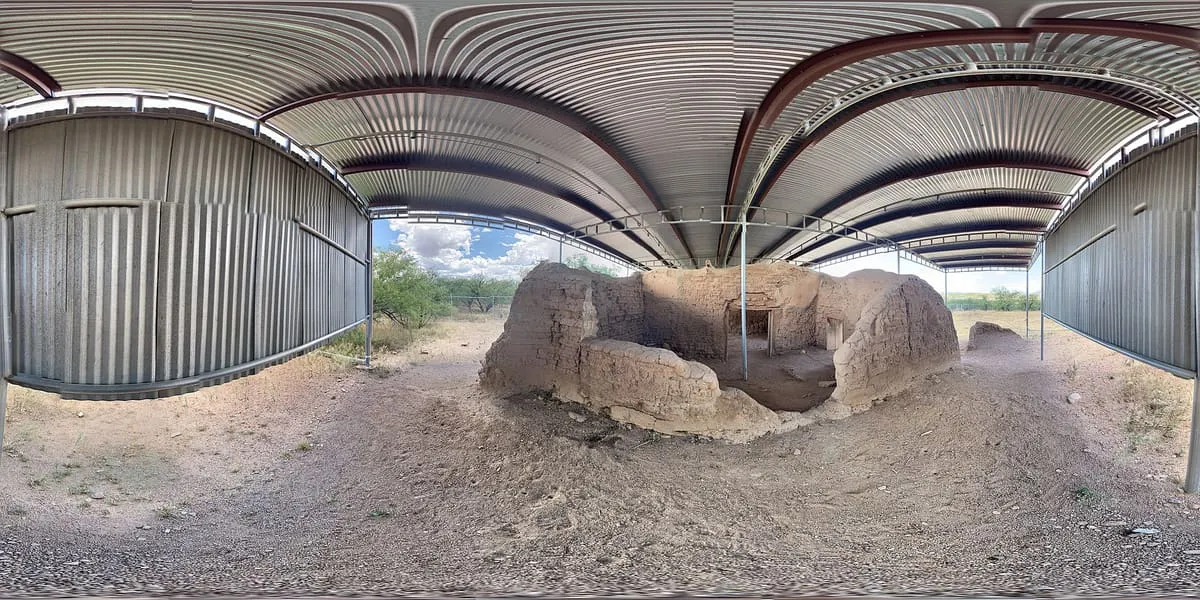
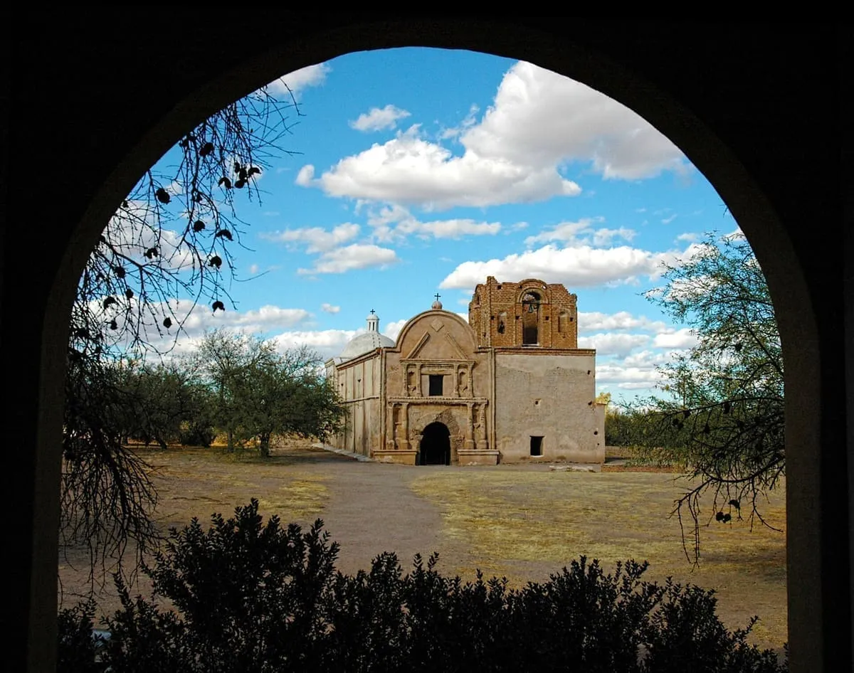
A Jesuit mission near Tumacácori, Arizona, founded in 1691 by Eusebio Kino and Juan María de Salvatierra as a district headquarters.
6 Score 45.2 out of 100 45.2
Historic Site
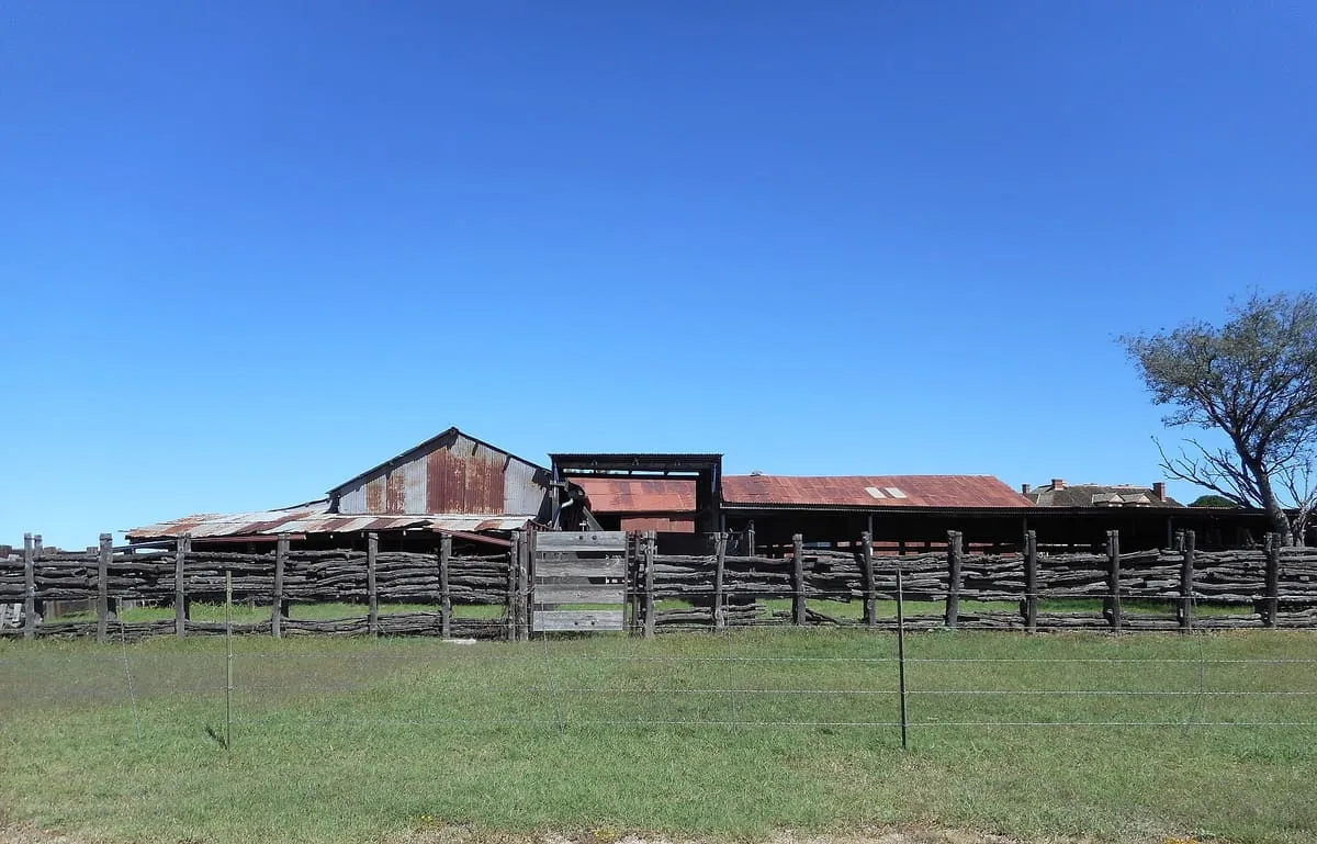
A historic cattle ranch in the San Rafael Valley, a mile and a half north of Lochiel and close to the border with Sonora.
7 Score 42.6 out of 100 42.6
State Park
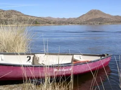
A 250-acre lake south of Patagonia, created by damming Sonoita Creek, used for fishing, boating and birding.
8 Score 42.5 out of 100 42.5
Historic Site
A ranch established on Potrero Creek near Nogales in about 1862, reputed to be the first permanent American ranch in Arizona.
9 Score 42.2 out of 100 42.2
Historic Site
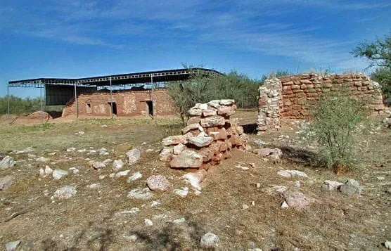
An 1856 US Army post south-west of Sonoita, burned by Apaches in 1865 and abandoned; its ruins were rediscovered in 1929.
10 Score 41.6 out of 100 41.6
Historic Site
A Spanish mission, also known as Calabasas, in the Sonoran Desert near present-day Tumacácori, Arizona.
11 Score 41.3 out of 100 41.3
Observatory
The Smithsonian Astrophysical Observatory's largest field station, on the summit of Mount Hopkins near Amado.
12 Score 40.9 out of 100 40.9
Observatory
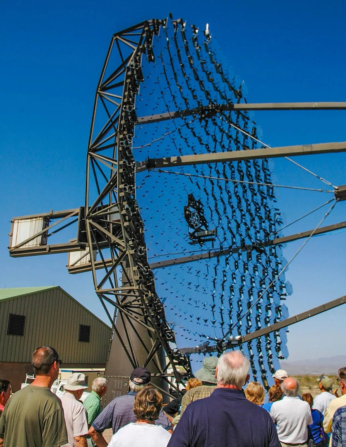
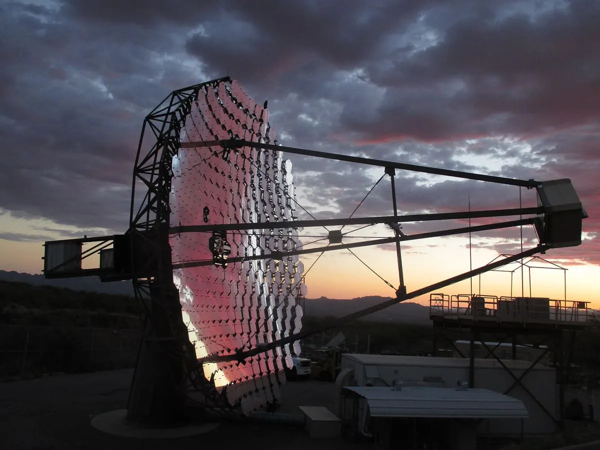
A ground-based gamma-ray observatory of four 12-metre reflectors at the Fred Lawrence Whipple Observatory, completed in 2007.
13 Score 40.0 out of 100 40.0
Historic Site
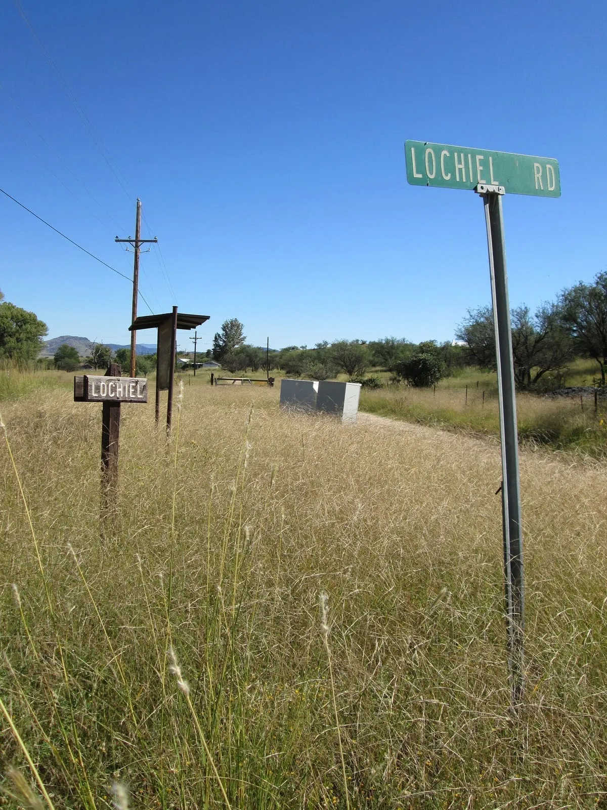
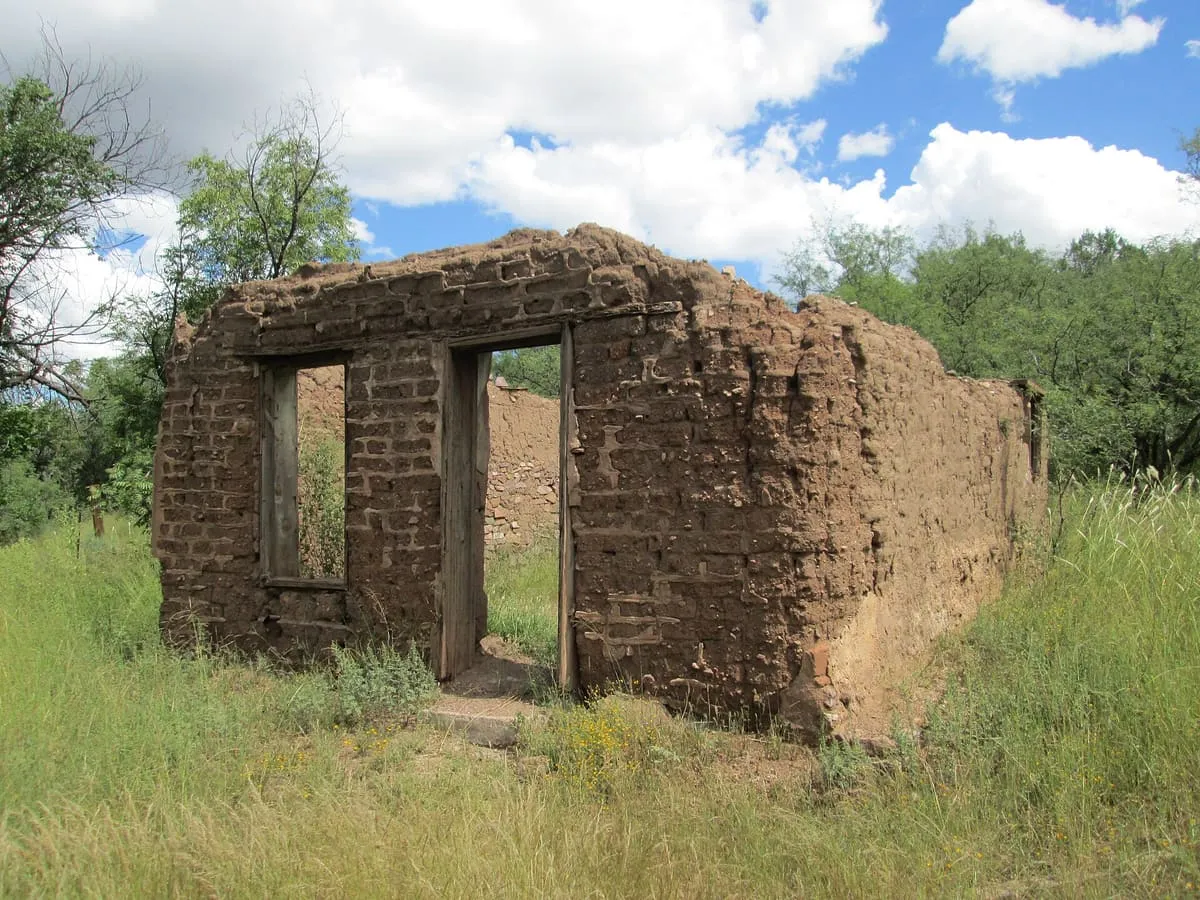
A former border crossing and largely abandoned settlement in the San Rafael Valley, about 25 miles east of Nogales.
14 Score 39.7 out of 100 39.7
Historic Site
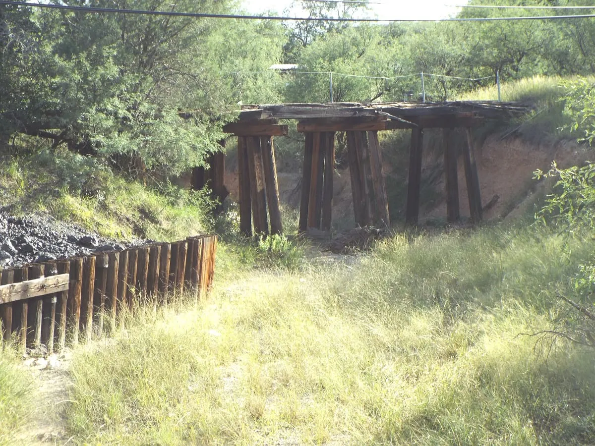
A silver-mining ghost town in Santa Cruz County, whose Hermosa mine yielded some $365,455 in bullion over four months in 1880.
15 Score 39.6 out of 100 39.6
Historic Site
A ghost town within Rio Rico, a suburb of Nogales in Santa Cruz County, whose name is Spanish for 'pumpkins'.
16 Score 37.3 out of 100 37.3
National Historic Site
A park of three units in the Santa Cruz valley protecting the ruins of three Spanish mission communities.
17 Score 36.0 out of 100 36.0
Natural Landmark
A 260-acre Sonoita-area wetland reserve protecting the rare Canelo ladies' tresses orchid, a National Natural Landmark since 1974.
18 Score 36.0 out of 100 36.0
Natural Landmark
A half-mile solutional cave in Permian limestone in the Santa Rita Mountains, designated a National Natural Landmark in 1974.
19 Score 25.5 out of 100 25.5
Historic Site
A historic Nogales shopping street of early-1900s buildings, with several stores still run by descendants of their founders.
20 Score 25.5 out of 100 25.5
Natural Landmark
Patagonia-Sonoita Creek Preserve, near Patagonia, Santa Cruz County, Arizona, is a Nature Conservancy-managed wetland used for birdwatching.
21 Score 25.5 out of 100 25.5
Historic Site
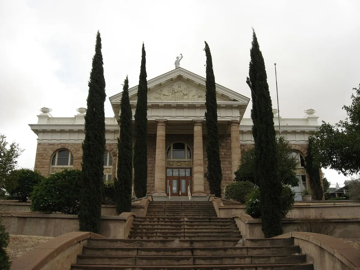
Santa Cruz County Courthouse, an 1904 landmark in Nogales, Arizona, now houses Cochise College's Nogales branch and the Arizona Ranger Museum.
22 Score 24.6 out of 100 24.6
State Natural Area
Nearly 10,000 acres of riparian and upland habitat below Patagonia Lake, an Important Bird Area with 106 recorded bird species.
23 Score 24.2 out of 100 24.2
Museum
Pimeria Alta Historical Society and Museum, in Nogales, Arizona, occupies the 1914 former City Hall and displays artefacts on the region's history.
24 Score 24.2 out of 100 24.2
Museum
Tubac Center for the Arts, in Tubac, Arizona, is run by a local artists' cooperative that organises art exhibits and workshops.
25 Score 19.8 out of 100 19.8
Landmark
A privately owned farm near Tubac that opens to the public for seasonal events such as a Garlic and Onion Festival.
26 Score 19.4 out of 100 19.4
State Historic Park
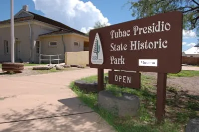
The first park in the Arizona state system, preserving the ruins of the Presidio San Ignacio de Tubac.
Destinations in this county Madera Canyon · Nogales · Patagonia · Sierra Vista · Sonoita · Tubac
County is resolved from each attraction's coordinates against U.S. Census geography rather than entered by hand, so a place near a county line is filed where it actually sits.