0.1 miles away
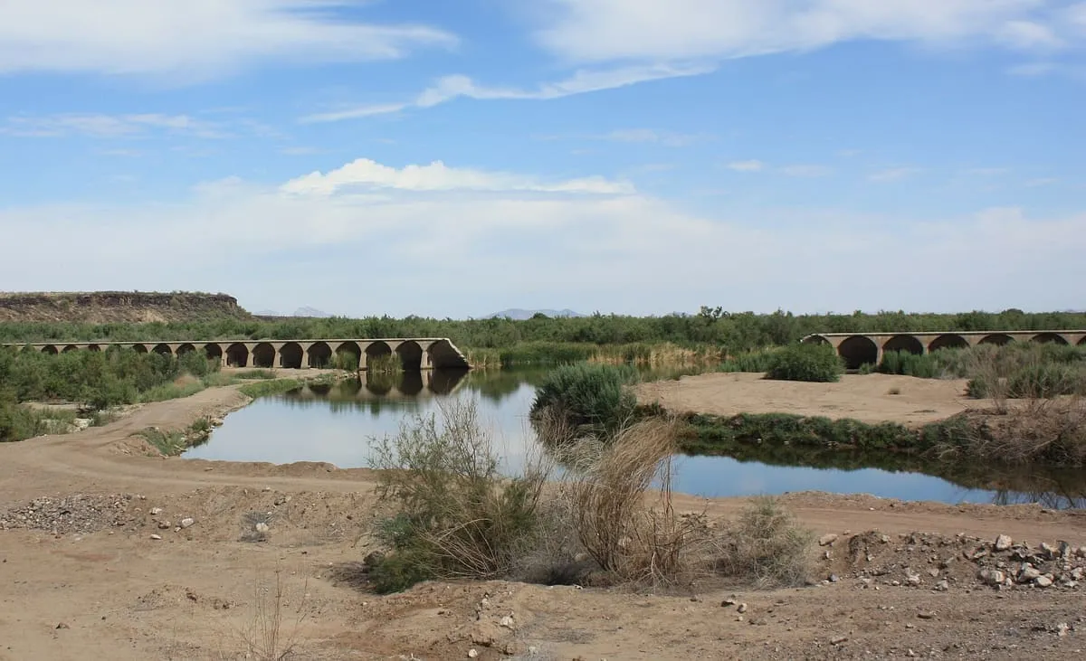
Gillespie Dam
A 1920s concrete gravity dam on the Gila River between Buckeye and Gila Bend, part of which failed in heavy rains in 1993.
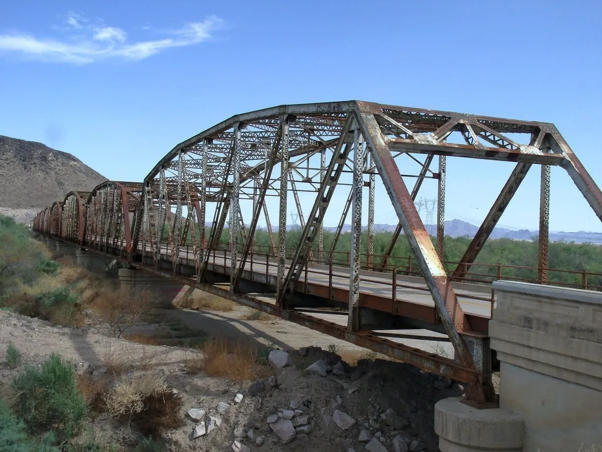
A through truss bridge over the Gila River, built between 1925 and 1927 and carrying U.S. Route 80 until 1956.
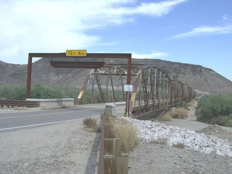
The Gillespie Dam Bridge, sometimes referred to as the Gillespie Dam Highway Bridge, is a through truss bridge spanning the Gila River in Maricopa County, Arizona. It was constructed to bypass a concrete apron through the river in front of the Gillespie Dam, which was often closed by flooding; construction began in 1925 and was completed in 1927. From its opening until 1956 the bridge carried U.S. Route 80, a transcontinental highway between San Diego, California and Tybee Island, Georgia. Maricopa County restored it in 2012 for the Arizona Centennial, adding an educational interpretive centre for visitors, and in 2018 it became part of Historic US 80.
Gillespie Dam Bridge is a landmark near Buckeye, in Maricopa County. It is one of the landmarks in this database, and appears in the statewide ranking of Arizona attractions.
No official visitor count is published for Gillespie Dam Bridge, so its score rests on public interest and tourism significance, and is capped below the level a measured attraction can reach. That is why the medium confidence above is not higher. The weighting is explained in full on the methodology page, and every axis is broken out under Facts and sources at the foot of this page.
Note on the data: No official visitor count is published for this attraction.
Record last verified 2026-08-12.
0.1 miles away
17 miles away
18 miles away
21 miles away
21 miles away
24 miles away