14 miles away
Gatlin Site
A Hohokam platform-mound site near Gila Bend, home to over 500 people between AD 800 and 1200, excavated in 1959-60.
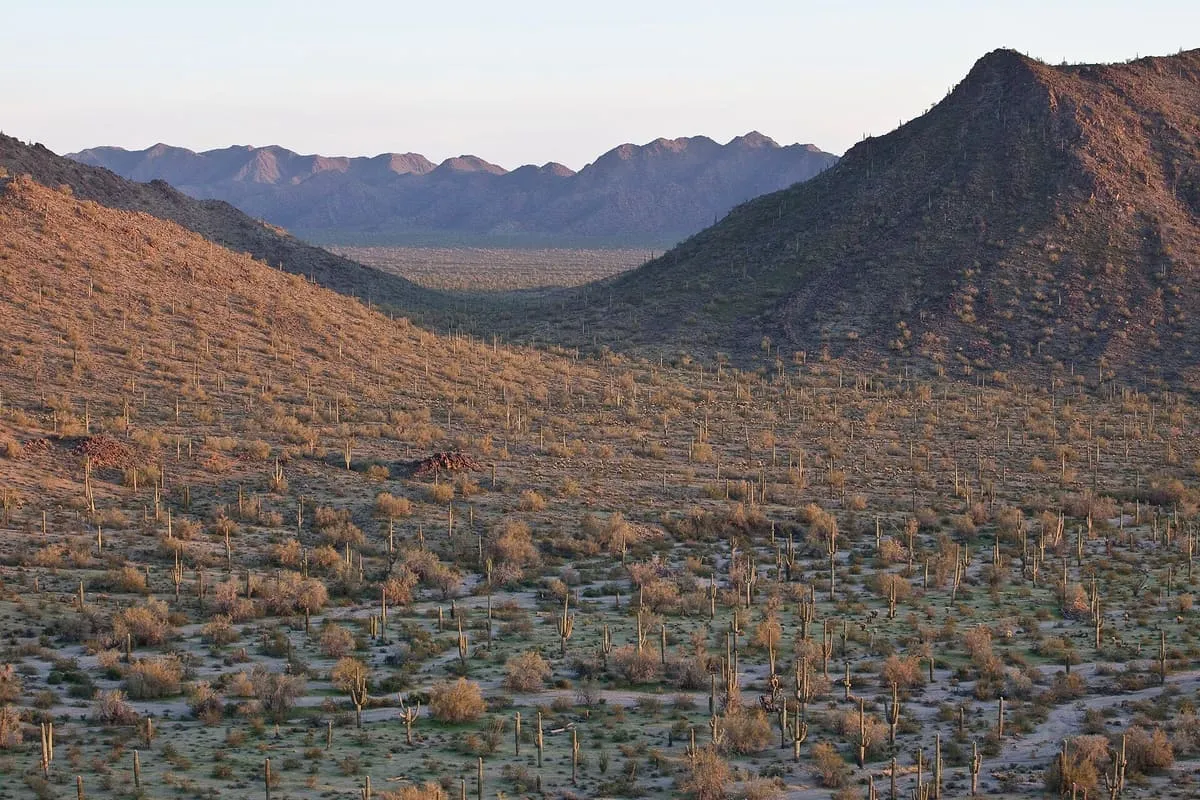
A 496,400-acre monument south of Goodyear and east of Gila Bend, proclaimed in 2001 and managed by the Bureau of Land Management.
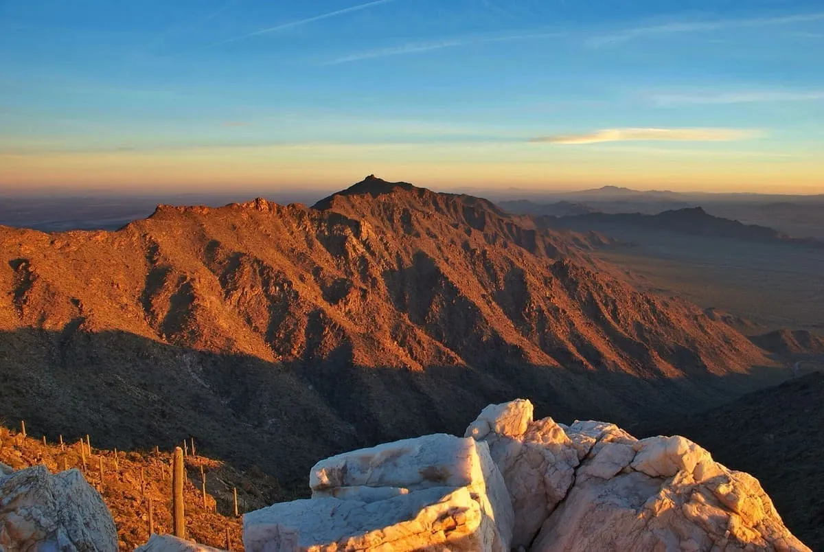
The Sonoran Desert National Monument lies south of Goodyear and Buckeye and east of Gila Bend, Arizona. It was created by presidential proclamation on 17 January 2001 and covers 496,400 acres, administered by the U.S. Bureau of Land Management as part of the National Landscape Conservation System. The BLM already managed the land before the designation, which raised the level of protection given to its resources. The monument takes in a small part of the Sonoran Desert, which covers 120,000 square miles and extends well into California and Mexico. The North Maricopa Mountains, South Maricopa Mountains and Table Top Wildernesses lie within the monument and protect its richest areas of desert habitat from development.
Sonoran Desert National Monument is a national monument near Goodyear, in Maricopa County. It is one of the national monuments in this database, and appears in the statewide ranking of Arizona attractions.
No official visitor count is published for Sonoran Desert National Monument, so its score rests on public interest and tourism significance, and is capped below the level a measured attraction can reach. That is why the medium confidence above is not higher. The weighting is explained in full on the methodology page, and every axis is broken out under Facts and sources at the foot of this page.
Note on the data: No official visitor count is published for this attraction.
Record last verified 2026-08-12.
14 miles away
20 miles away
24 miles away
24 miles away
24 miles away

27 miles away