4.0 miles away
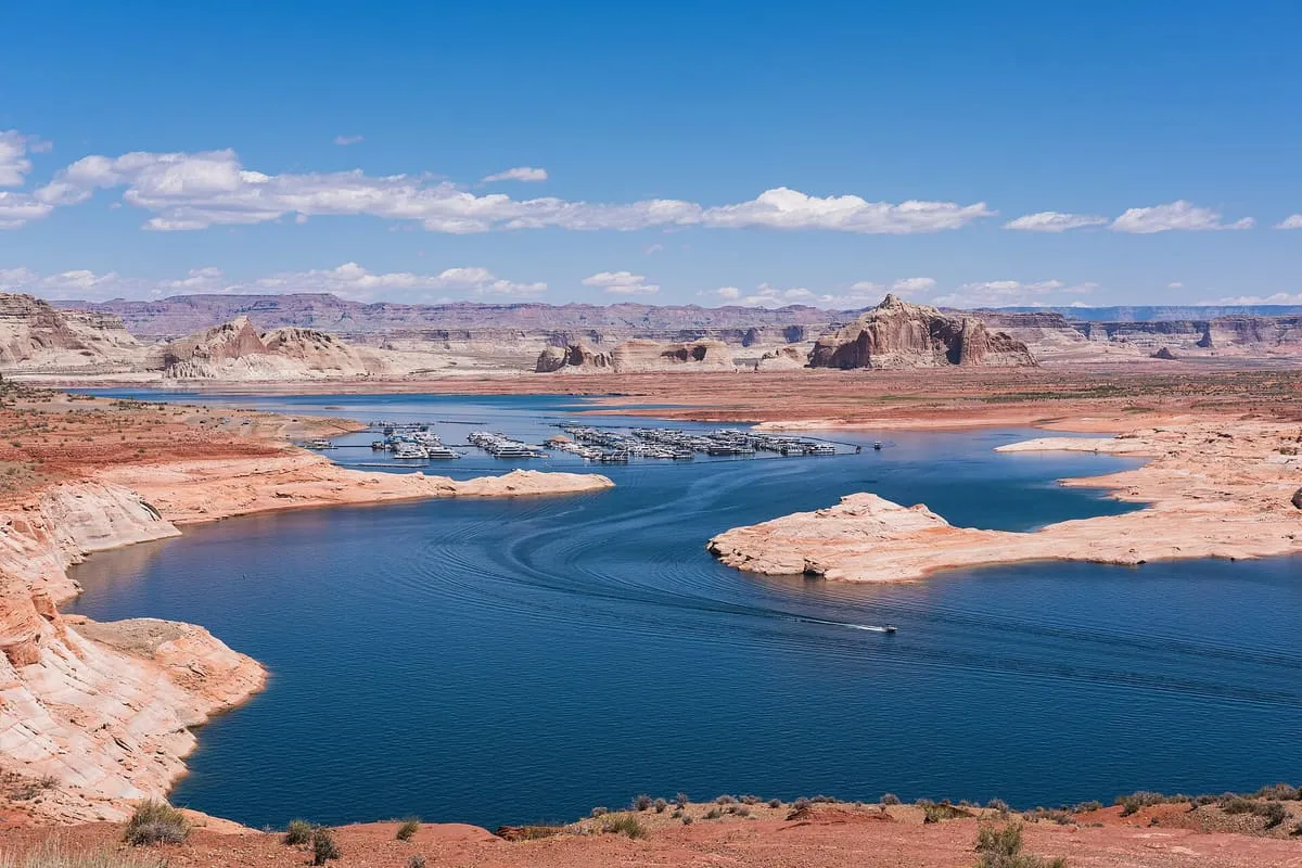
Lake Powell
A Colorado River reservoir on the Utah–Arizona line, created by Glen Canyon Dam and visited by about two million people a year.
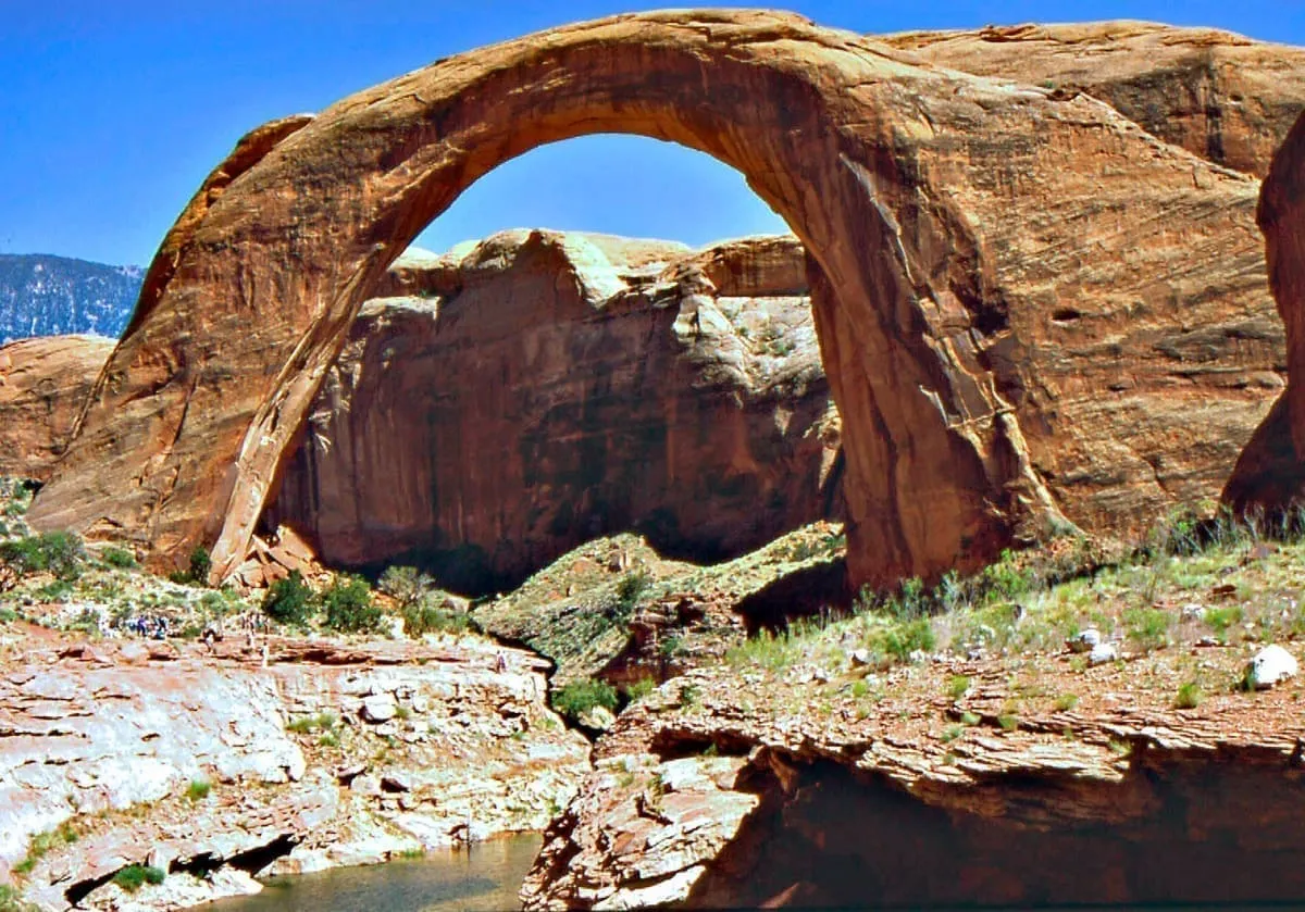
A National Park Service unit around Lake Powell, covering 1.25 million acres of high desert in Arizona and Utah.
Glen Canyon National Recreation Area is a conservation unit of the National Park Service covering 1,254,429 acres of rugged high desert around Lake Powell and lower Cataract Canyon, in Utah and Arizona. It is named for Glen Canyon, which was flooded when Glen Canyon Dam was completed in 1966 and now lies mostly submerged beneath the reservoir. The recreation area borders Capitol Reef and Canyonlands national parks to the north, Grand Staircase–Escalante National Monument to the west, Vermilion Cliffs National Monument and the north-easternmost reaches of Grand Canyon National Park to the south-west, and the Navajo Nation to the south-east. Its published visitor figure counts the whole recreation area across both states rather than any single site within it. It recorded 4,725,610 recreation visits in 2024, counted across the whole recreation area.
Glen Canyon National Recreation Area is a national recreation area near Page, in Coconino County. It is one of the national recreation areas in this database, and appears in the statewide ranking of Arizona attractions.
The score combines the published visitor count with public interest and tourism significance, which is what earns it medium confidence. The weighting is explained in full on the methodology page, and every axis is broken out under Facts and sources at the foot of this page.
Record last verified 2026-08-12.
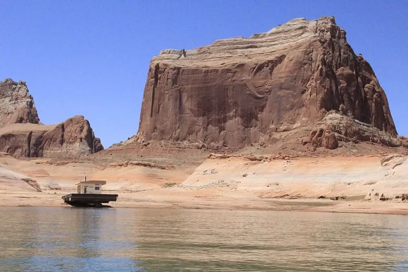
4.0 miles away
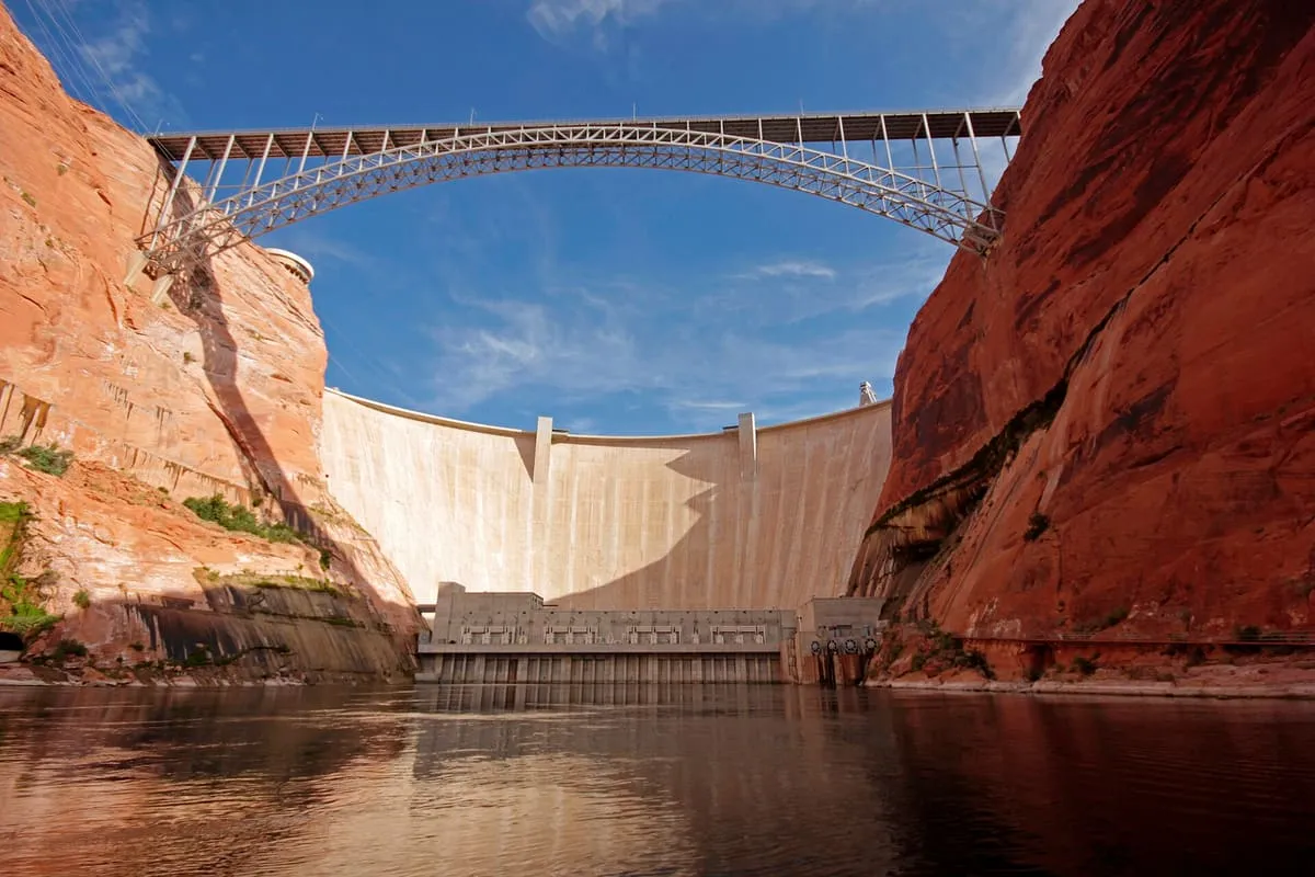
4.0 miles away
5.5 miles away
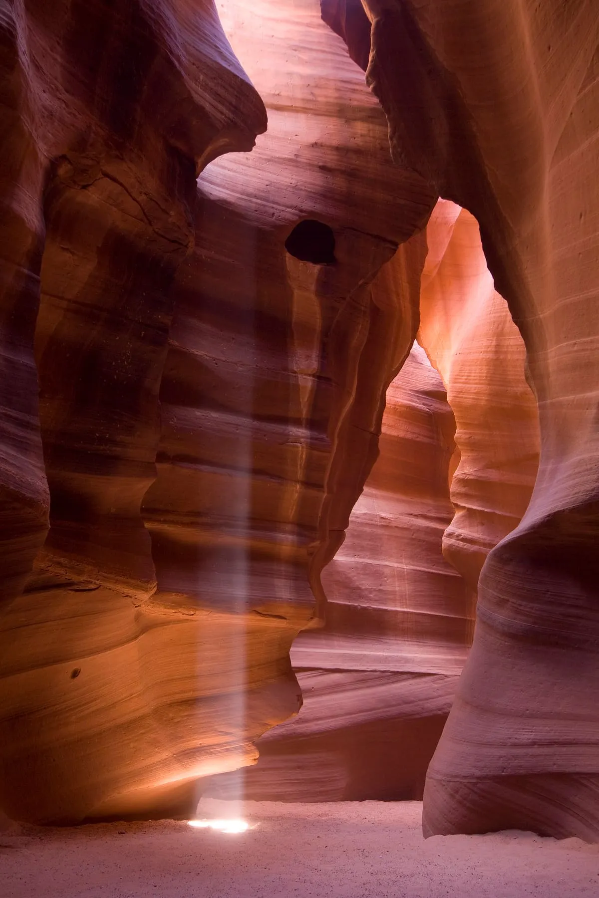
7.4 miles away
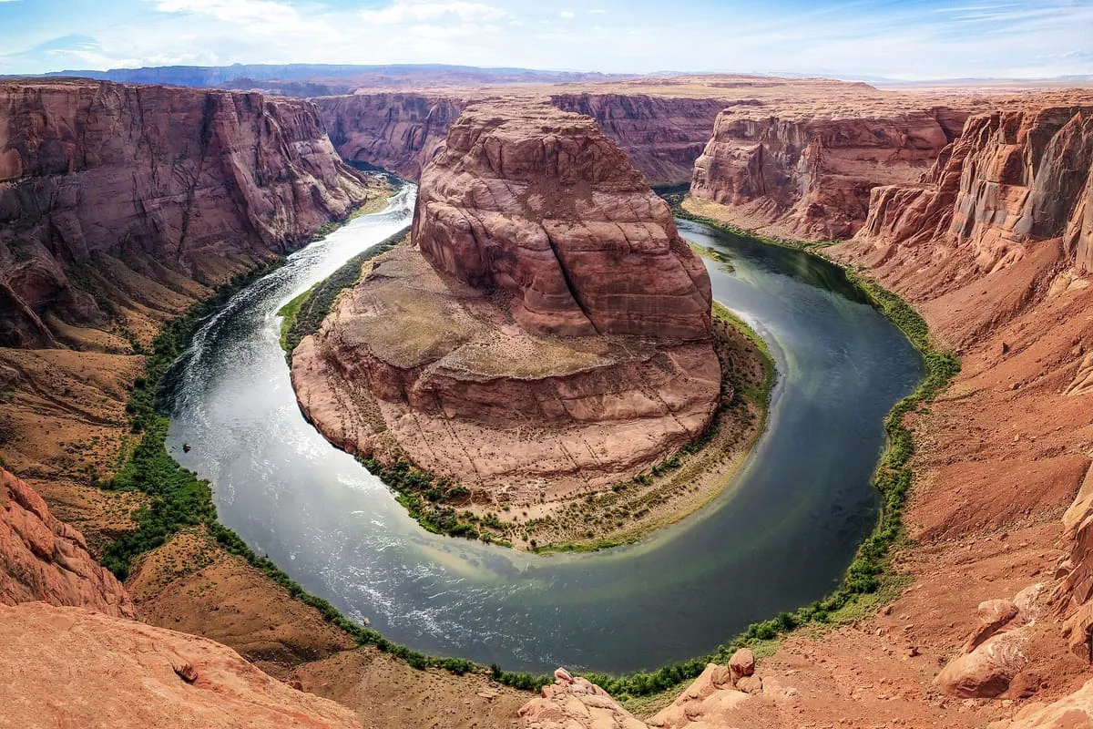
8.0 miles away