Horseshoe Bend
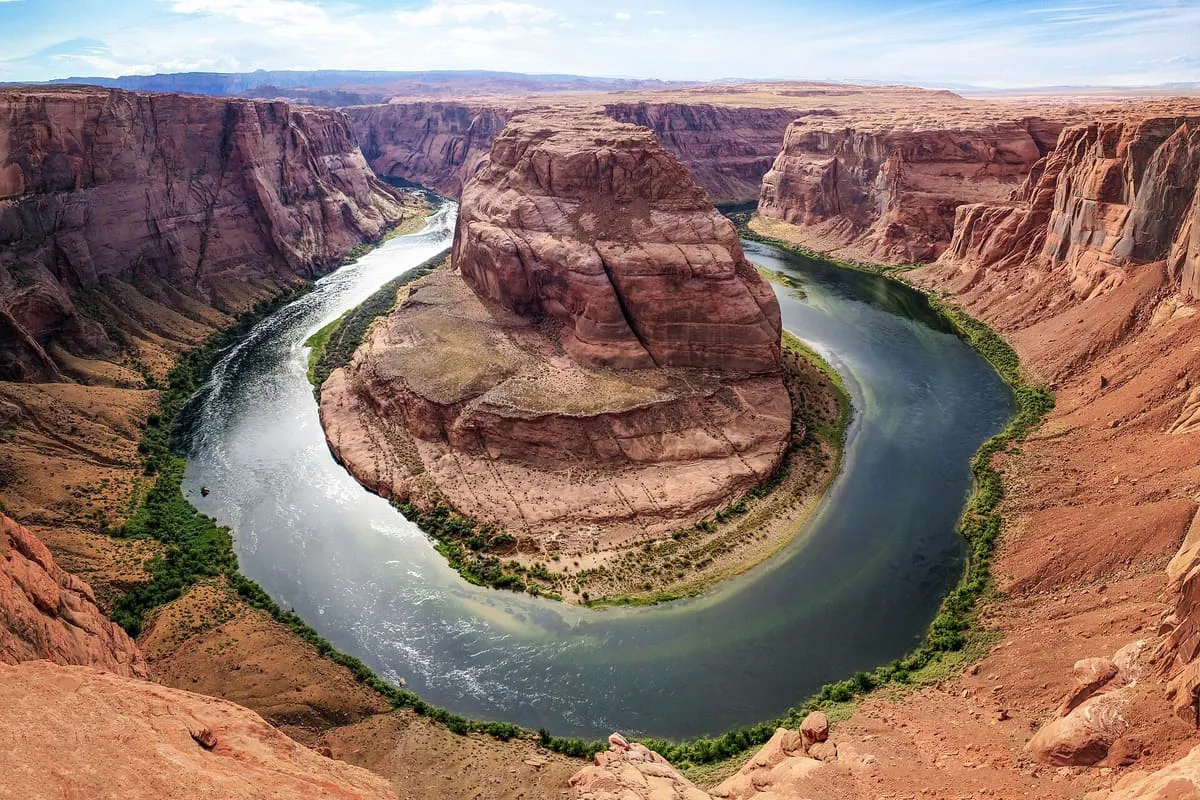
An incised meander of the Colorado River near Page, viewed from a clifftop overlook 1,000 feet above the water.
- Rank in Arizona
- #21of 727 ranked
- Overall score
- Score 64.1 out of 100medium confidence
- Category
- Natural Landmark
Horseshoe Bend is a horseshoe-shaped incised meander of the Colorado River near Page, Arizona, also referred to as the east rim of the Grand Canyon. It lies five miles downstream of the Glen Canyon Dam and Lake Powell, within Glen Canyon National Recreation Area and about four miles south-west of Page. The overlook stands at 4,200 feet above sea level and the river at 3,200 feet, a drop of 1,000 feet, and the bend is viewed from the steep cliff above. It is reached by a walk of 1.5 miles return from a parking area off U.S. Route 89 in south-western Page; the land south of the parking area, trail and overlook is Navajo Nation territory.
Where it is
Horseshoe Bend is a natural landmark near Page, in Coconino County. It is one of the natural landmarks in this database, and appears in the statewide ranking of Arizona attractions.
How this ranking was reached
No official visitor count is published for Horseshoe Bend, so its score rests on public interest and tourism significance, and is capped below the level a measured attraction can reach. That is why the medium confidence above is not higher. The weighting is explained in full on the methodology page, and every axis is broken out under Facts and sources at the foot of this page.
Note on the data: No official visitor count is published for this attraction.
Sources
- Public interest: Wikimedia pageviews (en.wikipedia, human traffic), 2024
- Coordinates and designations: Wikidata(opens in a new tab)
- County: U.S. Census geography via FCC Area API, resolved from coordinates
- Official site: http://www.horseshoebend.com(opens in a new tab)
Record last verified 2026-08-12.
More photographs
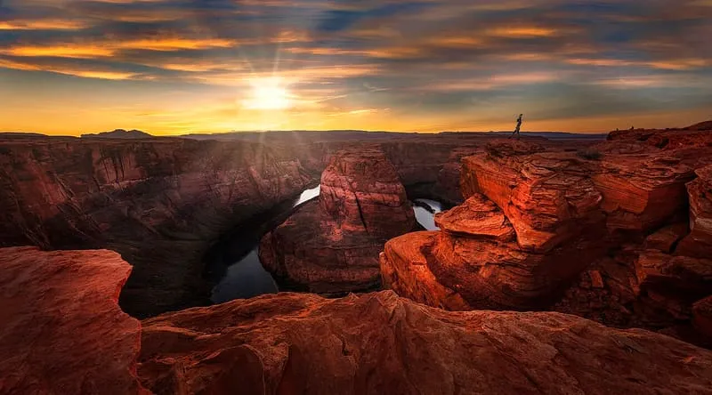
Janusz Sobolewski, CC BY 2.0 · licence(opens in a new tab) · source(opens in a new tab) 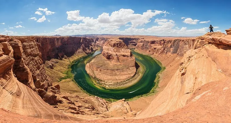
Thomas Wolf, www.foto-tw.de, CC BY-SA 3.0 · licence(opens in a new tab) · source(opens in a new tab)
Nearby attractions
4.0 miles away
Red Heritage Indigenous Entertainment Hall
Red Heritage Indigenous Entertainment Hall, in Page, Arizona, is a Native American dinner theatre featuring powwow dancing and live drum music.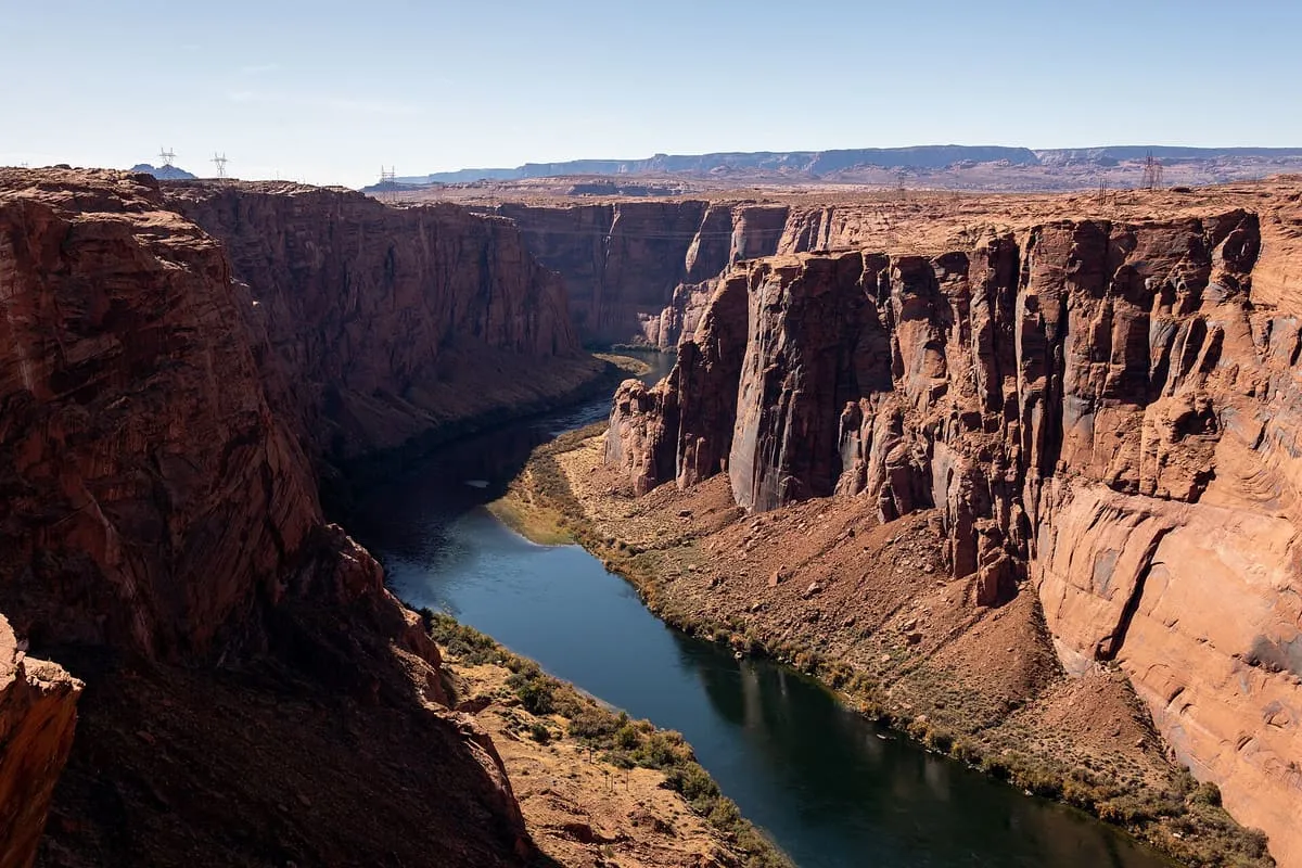
4.2 miles away
Glen Canyon
A canyon cut by 169.6 miles of the Colorado River, most of it submerged by Lake Powell after Glen Canyon Dam was built in 1963.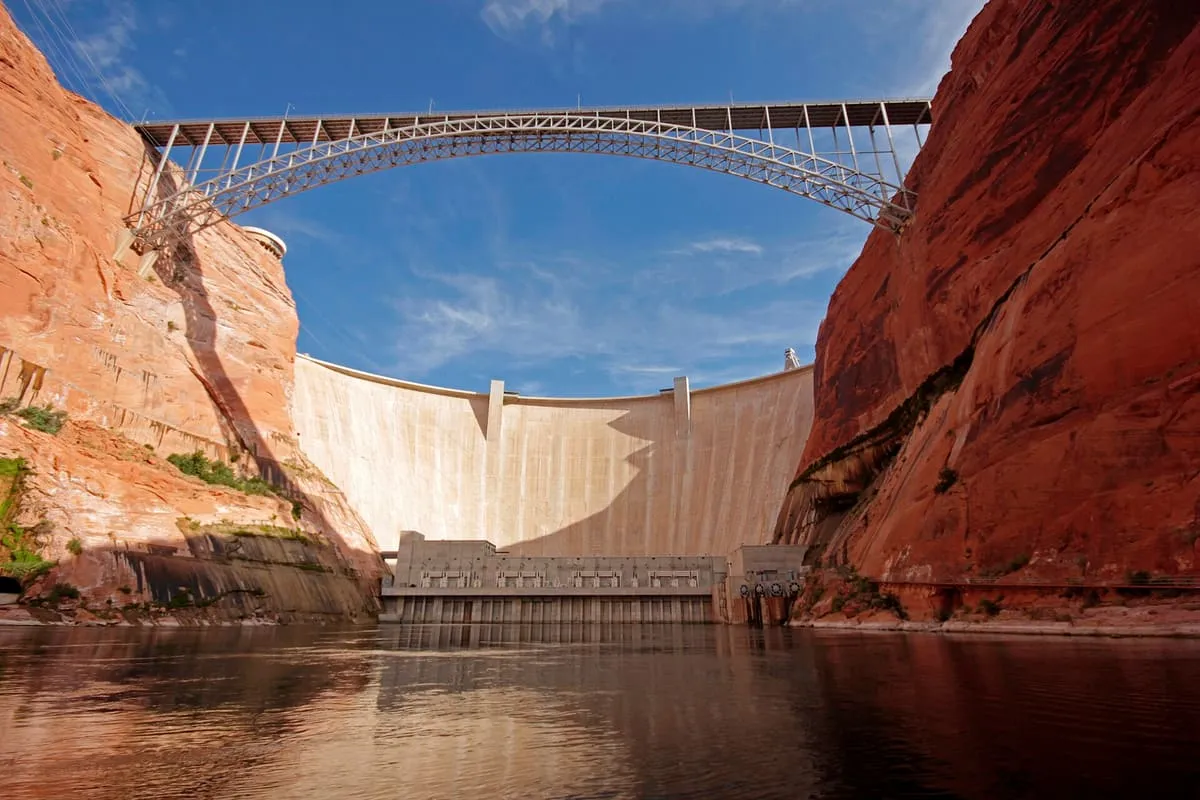
4.2 miles away
Glen Canyon Dam Bridge
A steel arch bridge carrying U.S. Route 89 over the Colorado River, its deck 700 feet up; the world's highest arch bridge when built in 1959.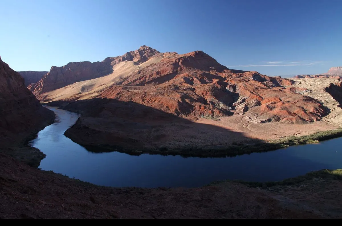
4.2 miles away
Lees Ferry
A Colorado River crossing in Coconino County, and the gauging point dividing the river's Upper and Lower Basins since the 1920s.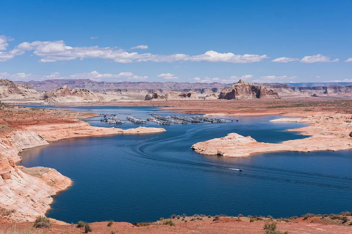
4.2 miles away
Lake Powell
A Colorado River reservoir on the Utah–Arizona line, created by Glen Canyon Dam and visited by about two million people a year.
Facts and sources
Place
- Category
- Natural Landmark
- Destination
- Page
- County
- Coconino County
- State
- Arizona
Visitation
- Annual visits
- Not published
Ranking
- Overall score
- 64.1 / 100
- Visitation score
- No published count
- Popularity score
- 71.5
- Significance score
- 58.0
- Confidence
- medium
Visiting
- Official website
- horseshoebend.com(opens in a new tab)
- Coordinates
- 36.8794, -111.5139
- Last verified
- 2026-08-12