0.1 miles away
Lake Powell
A Colorado River reservoir on the Utah–Arizona line, created by Glen Canyon Dam and visited by about two million people a year.
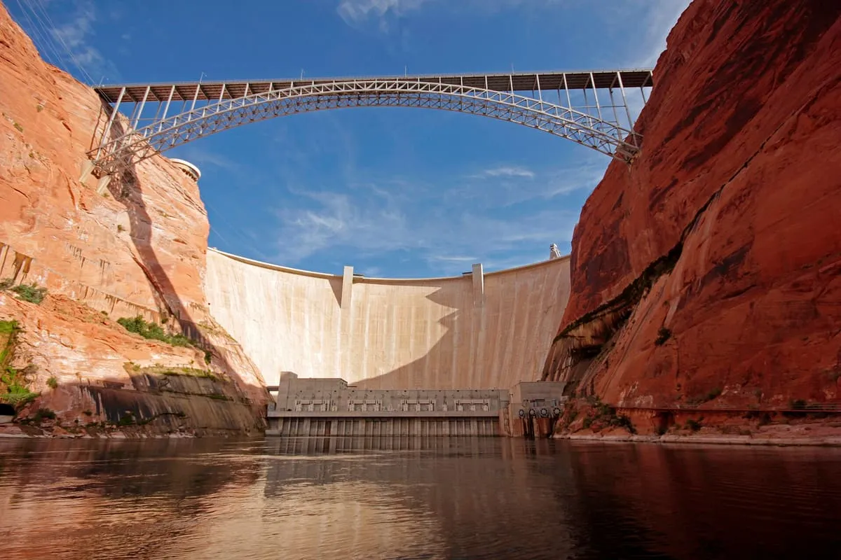
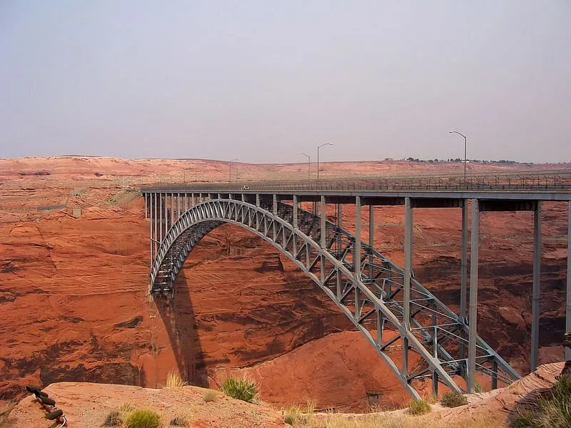
A steel arch bridge carrying U.S. Route 89 over the Colorado River, its deck 700 feet up; the world's highest arch bridge when built in 1959.
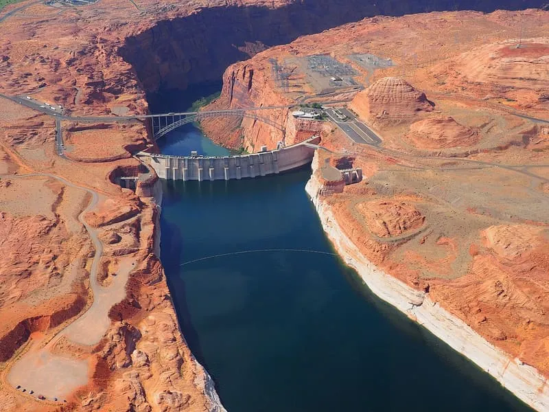
The Glen Canyon Dam Bridge, also called the Glen Canyon Bridge, is a steel arch bridge in Coconino County carrying U.S. Route 89 across the Colorado River. The United States Bureau of Reclamation built it to move materials for the Glen Canyon Dam, which stands 865 feet upstream. The two-lane bridge is 1,271 feet long, and its deck is 700 feet above the river, placing it among the highest bridges in the United States. On completion in 1959 it was the highest arch bridge in the world.
Glen Canyon Dam Bridge is a landmark near Page, in Coconino County. It is one of the landmarks in this database, and appears in the statewide ranking of Arizona attractions.
No official visitor count is published for Glen Canyon Dam Bridge, so its score rests on public interest and tourism significance, and is capped below the level a measured attraction can reach. That is why the medium confidence above is not higher. The weighting is explained in full on the methodology page, and every axis is broken out under Facts and sources at the foot of this page.
Note on the data: No official visitor count is published for this attraction.
Record last verified 2026-08-12.
0.1 miles away
1.8 miles away
4.0 miles away
4.2 miles away
4.4 miles away