7.9 miles away
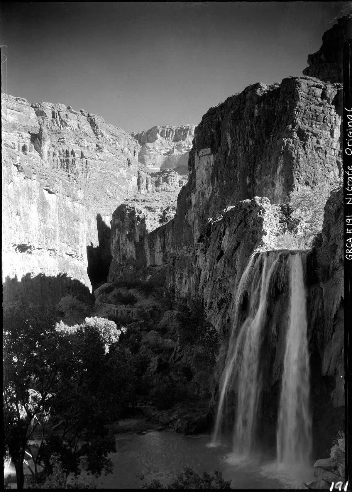
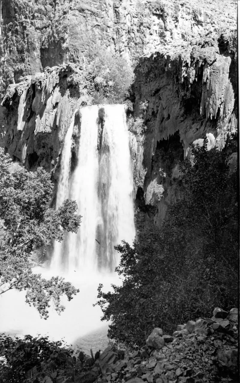
Havasu Falls
Blue-green travertine falls on the Havasupai Reservation, reached only by a ten-mile hike, helicopter or horseback. Visiting requires a reservation obtained well in advance.

Facts and sources
Place
- Category
- Waterfall
- Destination
- Supai
- County
- Coconino County
- State
- Arizona
Visitation
- Annual visits
- Not published
Ranking
- Overall score
- 64.8 / 100
- Visitation score
- No published count
- Popularity score
- 70.6
- Significance score
- 60.0
- Confidence
- medium
Visiting
- Coordinates
- 36.2550, -112.6978
- Last verified
- 2026-08-12
Where it is
Havasu Falls is a waterfall near Supai, in Coconino County. It is one of the waterfalls in this database, and appears in the statewide ranking of Arizona attractions.
How this ranking was reached
This place scores 64.8 out of 100, at medium confidence. No official visitor count is published for it, so the score rests on public interest and tourism significance, and is capped below the level a measured attraction can reach. The weighting is explained in full on the methodology page.
Note on the data: No official visitor count is published for this attraction.
Sources
- Public interest: Wikimedia pageviews (en.wikipedia, human traffic), 2024
- Coordinates and designations: Wikidata(opens in a new tab)
- County: U.S. Census geography via FCC Area API, resolved from coordinates
Record last verified 2026-08-12.
Nearby attractions
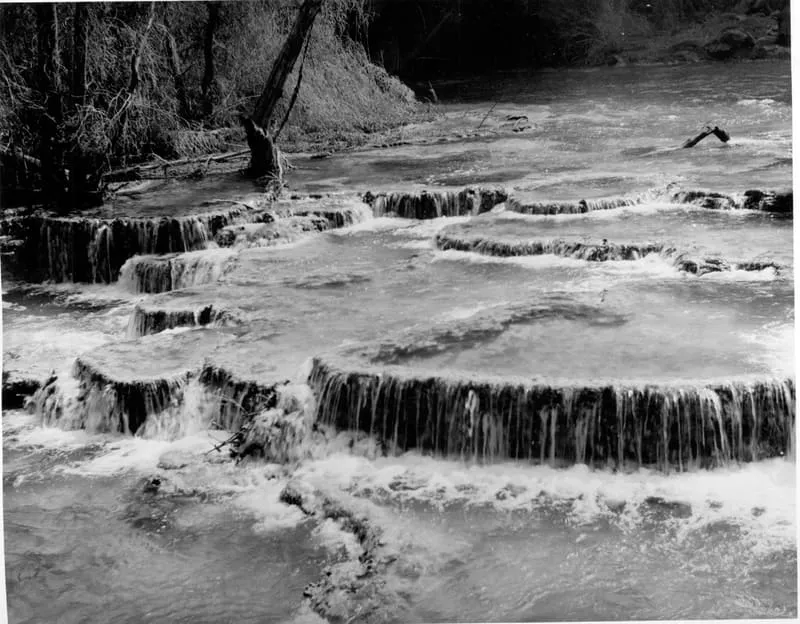
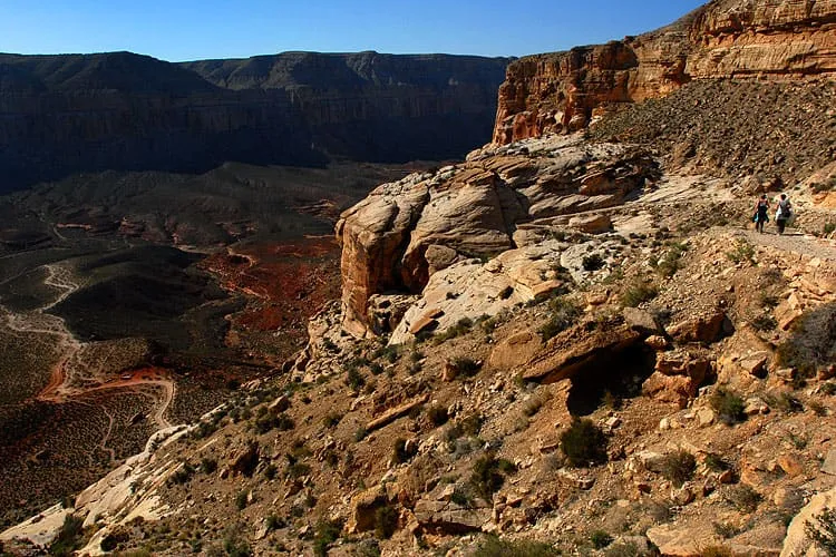
- Havasupai Trail is the main trail to Supai, Arizona, and to Havasu Falls. There are other trails, such as the Topocoba, Moqui and Kirby trails. However, these other trails are not maintained.

20 miles away
Toroweap Overlook
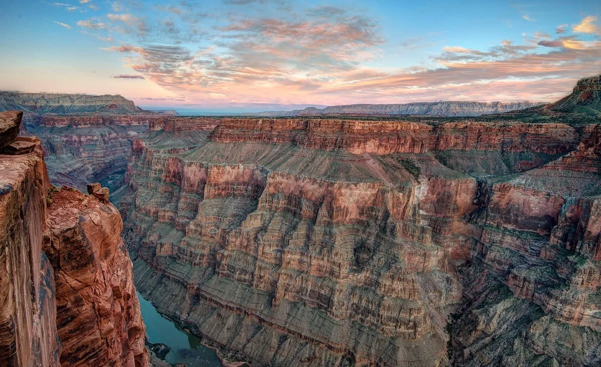
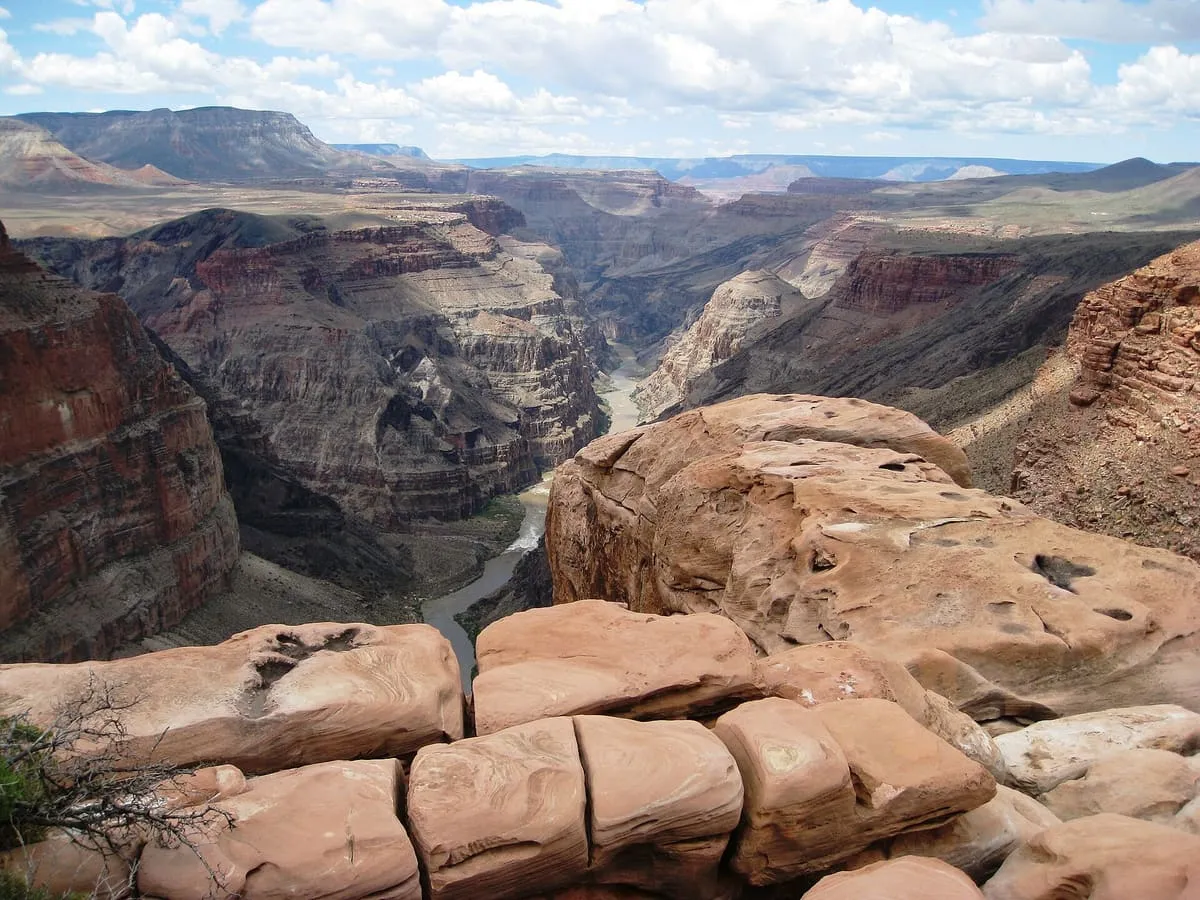
Toroweap Overlook (also known as Tuweep Overlook or Toroweap Point) is a viewpoint within the Grand Canyon National Park in Arizona, United States. It is located in a remote area on the North Rim of the Grand Canyon, 55 miles (89 km) west of the North Rim Headquarters (but 148 miles (238 km) by road). The overlook is the only viewpoint in the National Park from where the Colorado River can be seen vertically below.
26 miles away
Uinkaret volcanic field
The Uinkaret volcanic field is an area of monogenetic volcanoes in northwestern Arizona, United States, located on the north rim of the Grand Canyon. Lava flows from the Uinkaret volcanic field that have cascaded down into the Grand Canyon, damming the Colorado River, have been used to date the canyon's carving. One of these cascades is today's Lava Falls.30 miles away
Hermit's Rest
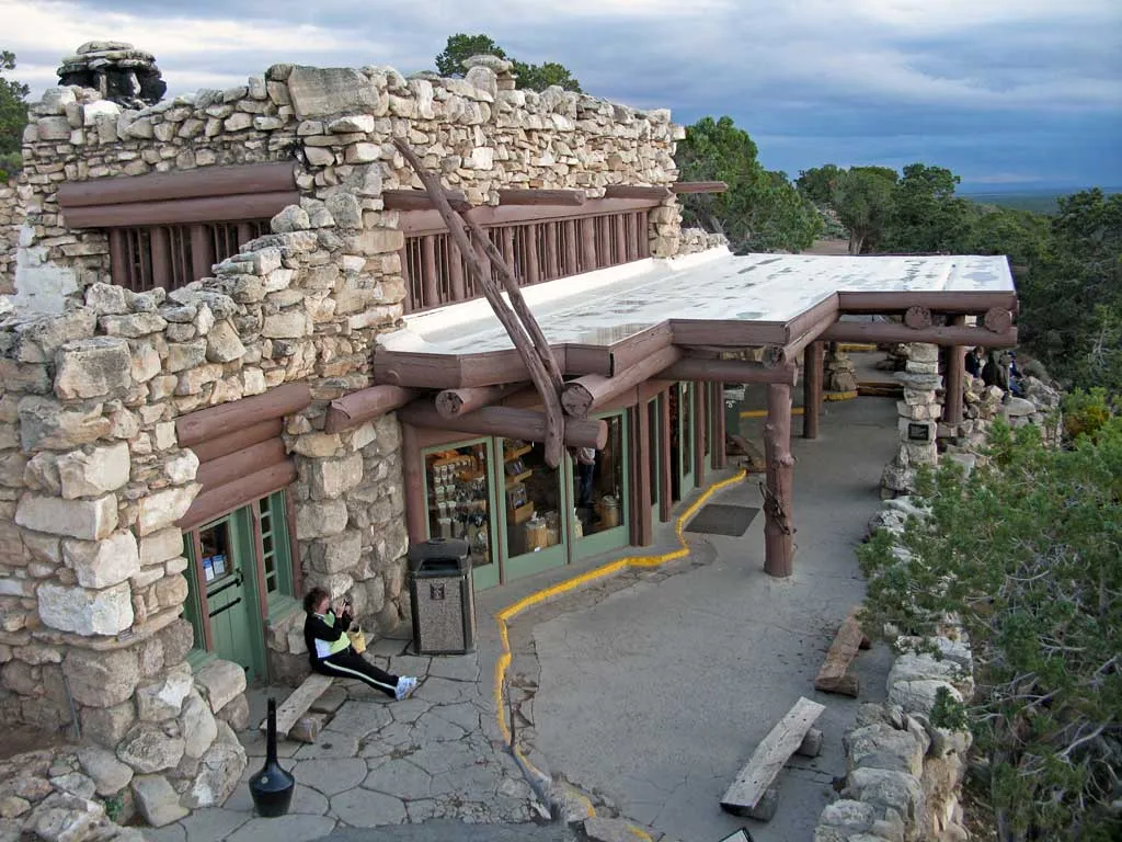
At the West end of Hermit Road, this gift shop and snack bar was designed by Mary Colter (the same person responsible for the Watchtower at Desert View) to resemble a Hermit's abode, and fit in harmoniously with the landscape. Constructed of a mix of stone and wood.30 miles away
Hermit Trail
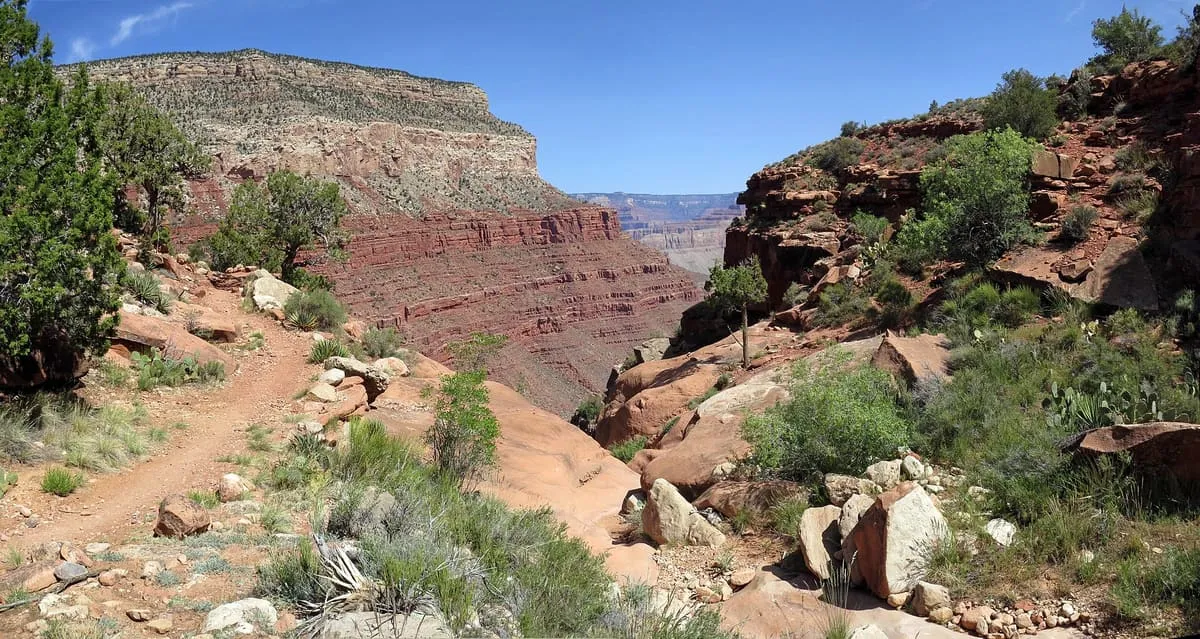
This is a steep, marginally maintained, rocky trail that descends from the South Rim to the river, passing fossilized reptile tracks and abandoned camps from the early 1900s along the way. The trailhead is just beyond Hermit's Rest and is accessible via shuttle bus. Shade is scarce during the summer.
31 miles away
Shiva Temple
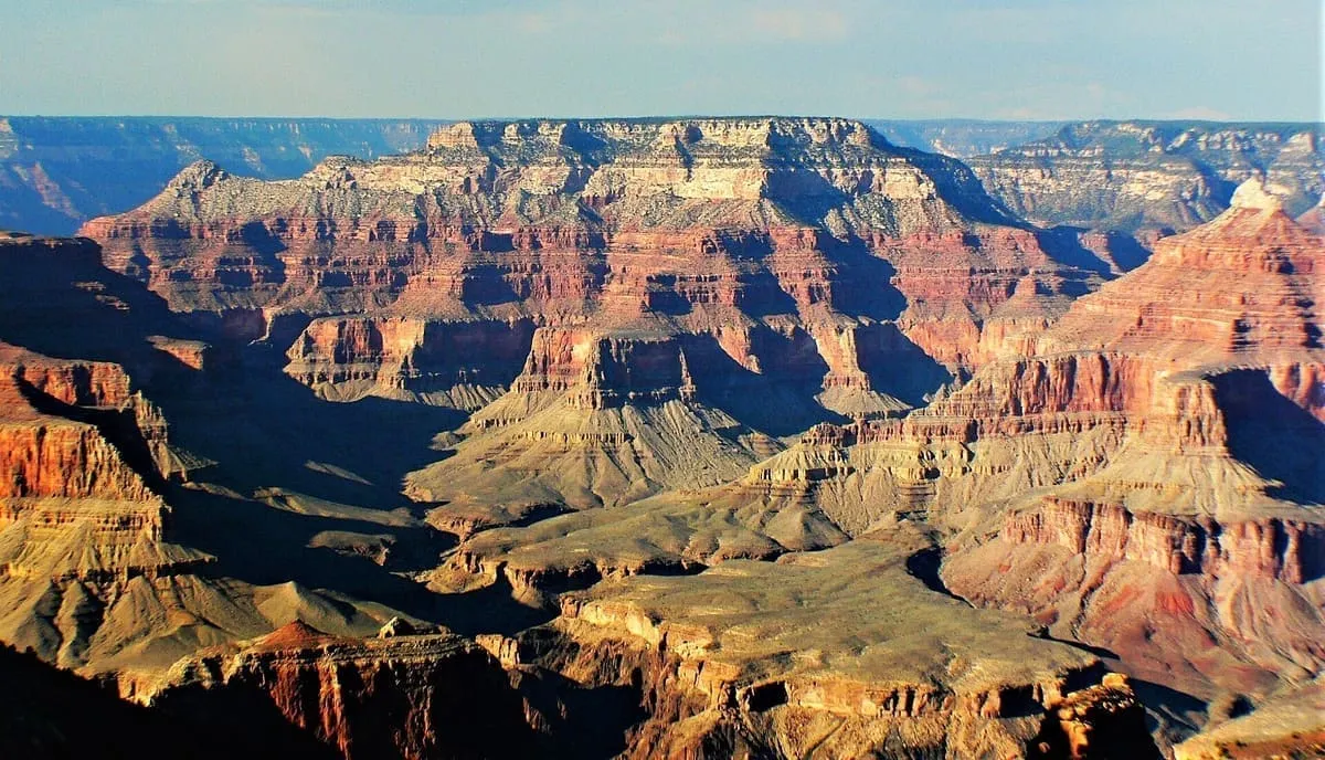
Shiva Temple is a 7,646-foot-elevation (2,331-meter) summit located in the Grand Canyon, in Coconino County of Arizona, US. It is situated six miles north of Hopi Point overlook of the canyon's South Rim, about 2.5 miles southwest of North Rim's Tiyo Point, and two miles northwest of Isis Temple, where it towers 5,200 feet (1,600 meters) above the Colorado River. Shiva Temple is named for Shiva, the Hindu deity, destroyer of the universe.