12 miles away
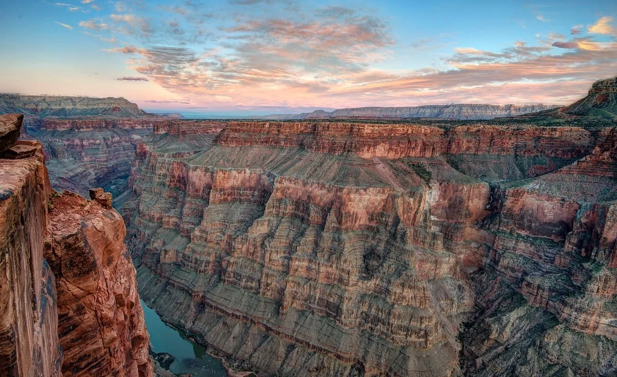
Toroweap Overlook
The only viewpoint in Grand Canyon National Park with the Colorado River vertically below, 3,000 feet down on the remote North Rim.
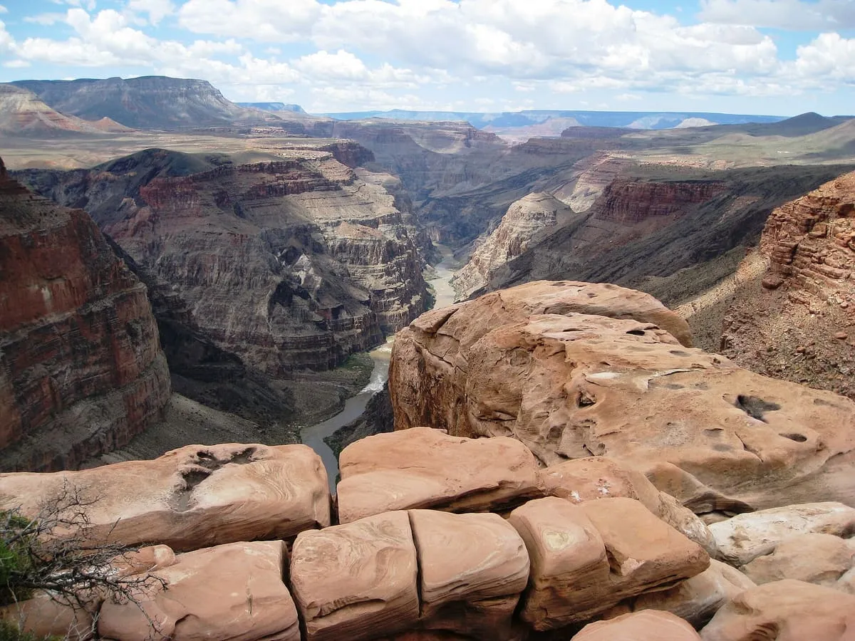
A field of monogenetic volcanoes on the Grand Canyon's north rim, whose lava flows repeatedly dammed the Colorado River.
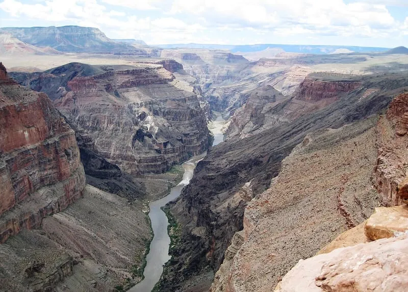
The Uinkaret volcanic field is an area of monogenetic volcanoes in north-western Arizona, on the north rim of the Grand Canyon. Lava flows from the field cascaded down into the canyon and dammed the Colorado River repeatedly between 725,000 and 100,000 years ago, and have been used to date the canyon's carving; one of these cascades forms today's Lava Falls, below which Lava Falls Rapid is described as the most severe rapid in the Grand Canyon at all water levels. Whether the lava dams were stable, lasting up to 20,000 years and forming large reservoirs, or failed quickly and catastrophically as massive floods, is disputed. The flows travelled 76 miles downriver, from river mile 178 to 254. One flow, from Little Springs south of Mount Trumbull, has a cosmogenic helium age of 1300 ± 500 years BP, and pottery shards dated to between 1050 and 1200 CE were found within it, placing it near the time of the Sunset Crater eruption in the San Francisco volcanic field.
Uinkaret volcanic field is a natural landmark near Supai, in Mohave County. It is one of the natural landmarks in this database, and appears in the statewide ranking of Arizona attractions.
No official visitor count is published for Uinkaret volcanic field, so its score rests on public interest and tourism significance, and is capped below the level a measured attraction can reach. That is why the medium confidence above is not higher. The weighting is explained in full on the methodology page, and every axis is broken out under Facts and sources at the foot of this page.
Note on the data: No official visitor count is published for this attraction.
Record last verified 2026-08-12.
12 miles away
26 miles away
29 miles away
30 miles away
37 miles away
39 miles away