9.1 miles away
Helvetia
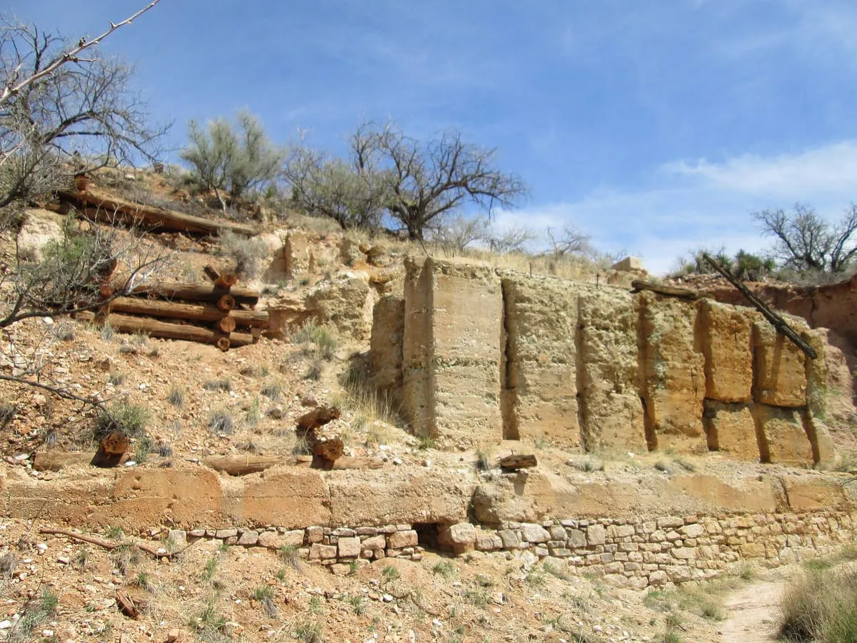
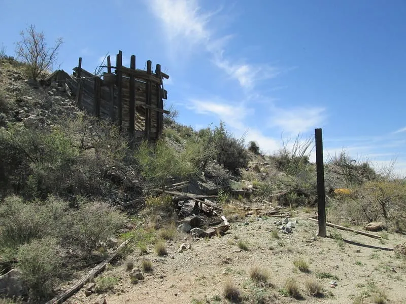
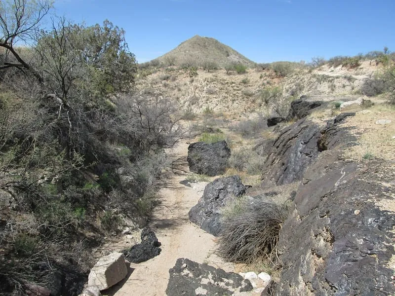
Helvetia is a ghost town in Pima County, Arizona, United States that was settled in 1891 and abandoned in the early 1920s. Helvetia is an ancient name for Switzerland. Today, only the Ray Mine and cemetery are visitable, as the rest of the town has been fenced off due to active mining operations.

Facts and sources
Place
- Category
- Historic Site
- Destination
- Sonoita
- County
- Pima County
- State
- Arizona
Visitation
- Annual visits
- Not published
Ranking
- Overall score
- 39.7 / 100
- Visitation score
- No published count
- Popularity score
- 17.7
- Significance score
- 58.0
- Confidence
- medium
Visiting
- Coordinates
- 31.8578, -110.7890
- Last verified
- 2026-08-12
Where it is
Helvetia is a historic site near Sonoita, in Pima County. It is one of the historic sites in this database, and appears in the statewide ranking of Arizona attractions.
How this ranking was reached
This place scores 39.7 out of 100, at medium confidence. No official visitor count is published for it, so the score rests on public interest and tourism significance, and is capped below the level a measured attraction can reach. The weighting is explained in full on the methodology page.
Note on the data: No official visitor count is published for this attraction.
Sources
- Description: Wikipedia(opens in a new tab), used under CC BY-SA 4.0(opens in a new tab)
- Public interest: Wikimedia pageviews (en.wikipedia, human traffic), 2024
- Coordinates and designations: Wikidata(opens in a new tab)
- County: U.S. Census geography via FCC Area API, resolved from coordinates
Record last verified 2026-08-12.
Nearby attractions
- A ghost town and former mining camp which is maintained by the Coronado National Forest. A few buildings have been restored, and for a unique experience visitors can rent one of the buildings for an overnight stay (see listing below).
9.8 miles away
Onyx Cave
Onyx Cave is a solutional cave system with about 0.5 miles (0.8 km) of passages formed in Permian limestone in the Santa Rita Mountains of Arizona. It is part of the Coronado National Forest. It was designated a National Natural Landmark in 1974.
10.0 miles away
Empire Ranch
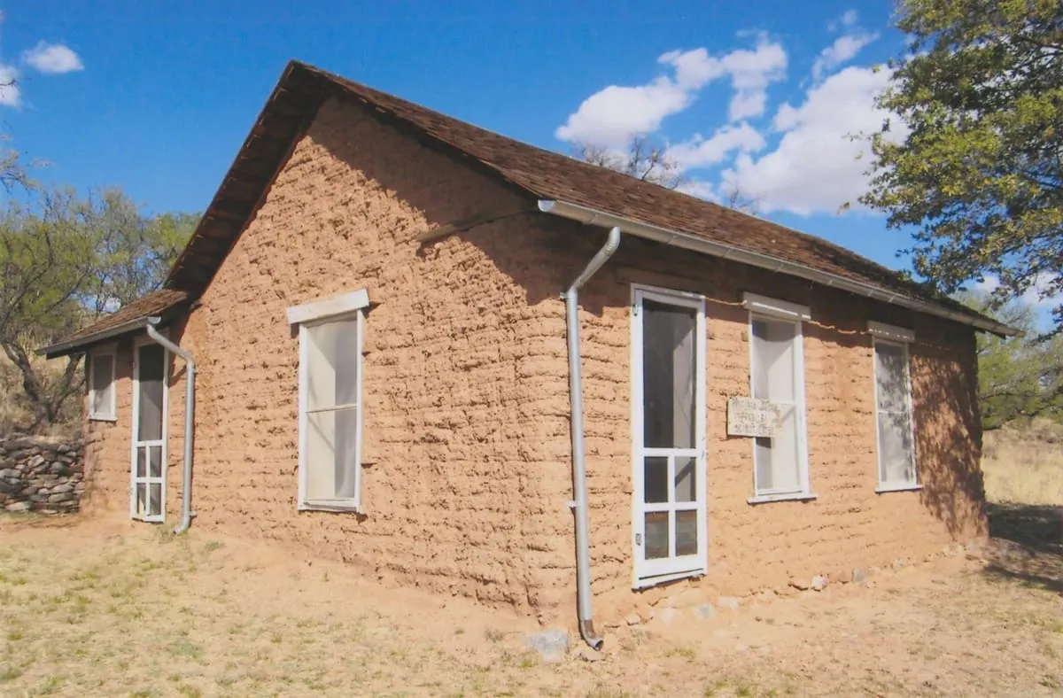
A beautifully-situated historic ranch from the 1860s. The adobe ranch house is listed on the National Register of Historic Places, and the property is managed as part of the Las Cienegas National Conservation Area. The area offers good opportunities for a range of outdoor activities, including birding, hiking, and horseback riding.
11 miles away
Santa Rita Mountains
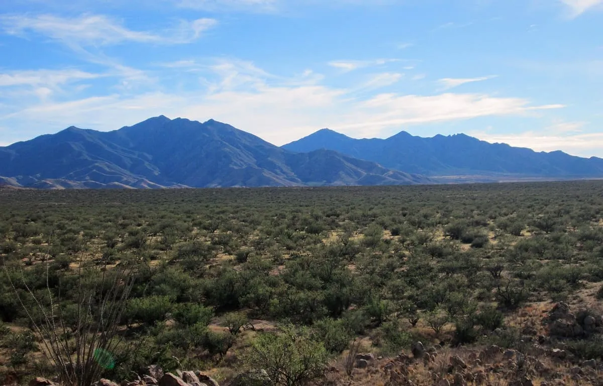
The Santa Rita Mountains (O'odham: To:wa Kuswo Doʼag), located about 40 miles (60 km) southeast of Tucson, Arizona, extend 26 miles (42 km) from north to south, then trending southeast. They merge again southeastwards into the Patagonia Mountains, trending northwest by southeast. The highest point in the range, and the highest point in the Tucson area, is Mount Wrightson, with an elevation of 9,453 feet (2,881 m), The range contains Madera Canyon, one of the world's premier birding areas.
12 miles away
Mount Wrightson
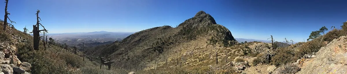
Mount Wrightson (O'odham: Ce:wi Duag) is a 9,456-foot (2,882 m) peak in the Santa Rita Mountains within the Coronado National Forest, in southern Arizona, United States. It was renamed from its original O'odham name: Ce:wi Duag for William Wrightson, a miner and entrepreneur in the region killed by Apaches in the 1865 Battle of Fort Buchanan.
12 miles away
Madera Canyon
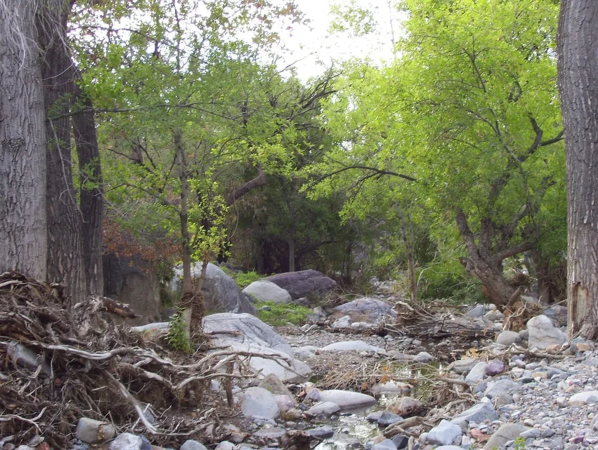
Madera Canyon is a canyon in the northwestern face of the Santa Rita Mountains, twenty-five miles southeast of Tucson, Arizona. As part of the Coronado National Forest, Madera Canyon has campsites, picnic areas, and miles of hiking trails. The canyon is also used as a resting place for migrating birds, and it is thus known as a premier birdwatching area.