1.0 miles away
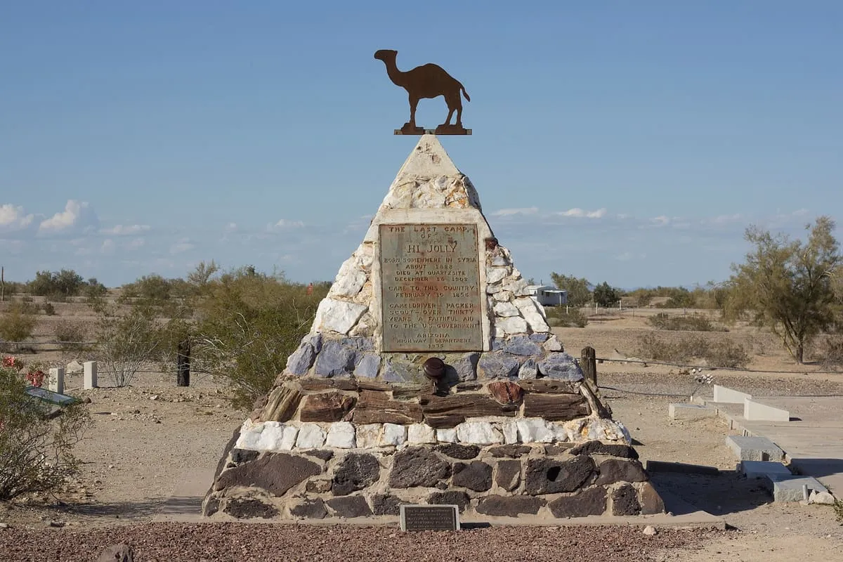
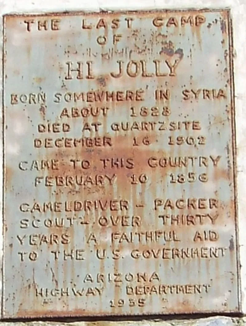
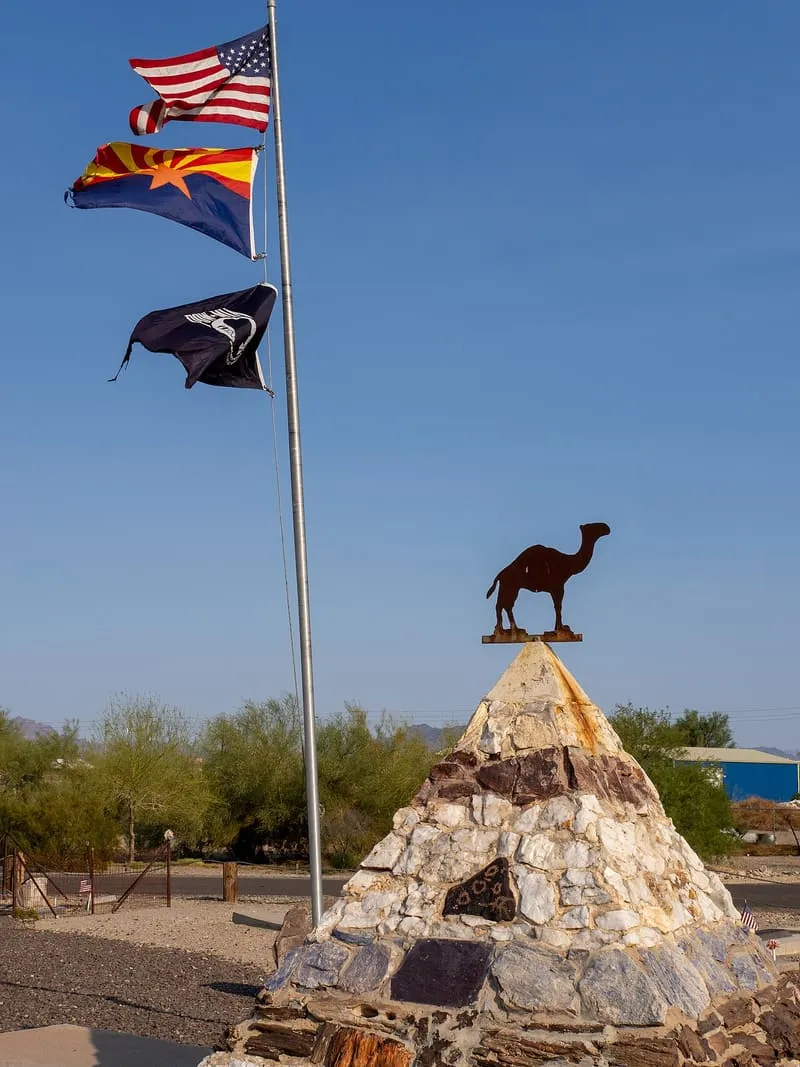
Hi Jolly Monument
A tribute to camel driver Hadji Ali, enlisted in an unsuccessful 19th-century attempt by the US Army to use camels in the southwest.

Facts and sources
Place
- Category
- Historic Site
- Destination
- Quartzsite
- County
- La Paz County
- State
- Arizona
- Designations
- National Register of Historic Places listed place
Visitation
- Annual visits
- Not published
Ranking
- Overall score
- 49.1 / 100
- Visitation score
- No published count
- Popularity score
- 32.4
- Significance score
- 63.0
- Confidence
- medium
Visiting
- Official website
- ci.quartzsite.az.us(opens in a new tab)
- Coordinates
- 33.6644, -114.2364
- Last verified
- 2026-08-12
Where it is
Hi Jolly Monument is a historic site near Quartzsite, in La Paz County. It is one of the historic sites in this database, and appears in the statewide ranking of Arizona attractions.
How this ranking was reached
This place scores 49.1 out of 100, at medium confidence. No official visitor count is published for it, so the score rests on public interest and tourism significance, and is capped below the level a measured attraction can reach. The weighting is explained in full on the methodology page.
Note on the data: No official visitor count is published for this attraction.
Sources
- Description: Wikivoyage(opens in a new tab), used under CC BY-SA 4.0(opens in a new tab)
- Public interest: Wikimedia pageviews (en.wikipedia, human traffic), 2024
- Coordinates and designations: Wikivoyage(opens in a new tab)
- County: U.S. Census geography via FCC Area API, resolved from coordinates
- Official site: http://www.ci.quartzsite.az.us/index.php/2013-01-08-06-33-10/hi-jolly-cemetary-2(opens in a new tab)
Record last verified 2026-08-12.
Nearby attractions
- Visit this location to learn more about this town. This location is where the original adobe stage station was built in 1866. It was a vital way station on the California-Arizona line because it provided water and grass for the animals.
3.4 miles away
Tyson Wash grinding holes and petroglyphs
More pre-Columbian petroglyphs, on both sides of the wash.9.8 miles away
Dripping Springs petroglyphs
This site has hundreds of pre-Columbian petroglyphs. Look for the ruined stone cabin; nearby is a cave with the springs. A path leads off from here to the cliff base, where many petroglyphs can be seen.
11 miles away
La Paz
La Paz (Yavapai: Wi:hela) was a short-lived early gold mining town along the Colorado River on the western border of current-day La Paz County, Arizona. The town grew quickly after gold was discovered nearby in 1862. La Paz, Spanish for peace, was chosen as the name in recognition of the feast day for Our Lady of Peace.12 miles away
Bouse Fisherman
The outline of a pre-Columbian geoglyph on the desert floor, portraying a fisherman. Walking a bit further you can find a Native American lookout and the ruins of a stagecoach station. The site is under the protection of the Bureau of Land Management; see website for driving instructions.24 miles away
Poston War Relocation Center
The Poston Internment Camp, located in Yuma County (now in La Paz County) in southwestern Arizona, was the largest (in terms of area) of the 10 American concentration camps operated by the War Relocation Authority during World War II. The site was composed of three separate camps arranged in a chain from north to south, three miles from each other. Internees named the camps Roasten, Toastin, and Dustin, based on their desert locations.