Home Counties La Paz County 10 attractions
1 Score 49.9 out of 100 49.9
Historic Site
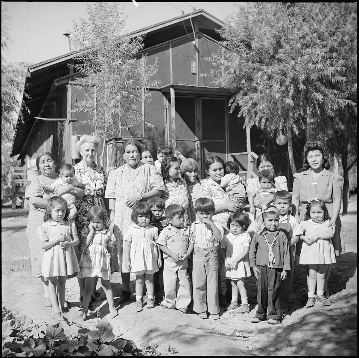
The largest by area of the ten War Relocation Authority camps of the Second World War, holding over 17,000 people at its peak.
2 Score 49.1 out of 100 49.1
Historic Site
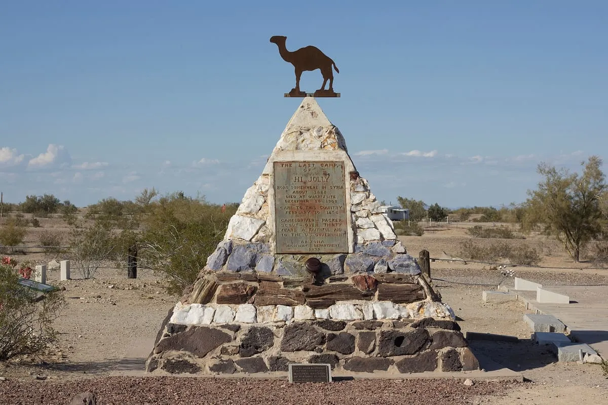
A Quartzsite grave marker for Hi Jolly, the Syrian-born camel driver brought to America in 1856 for the army's camel experiment.
3 Score 44.5 out of 100 44.5
Historic Site
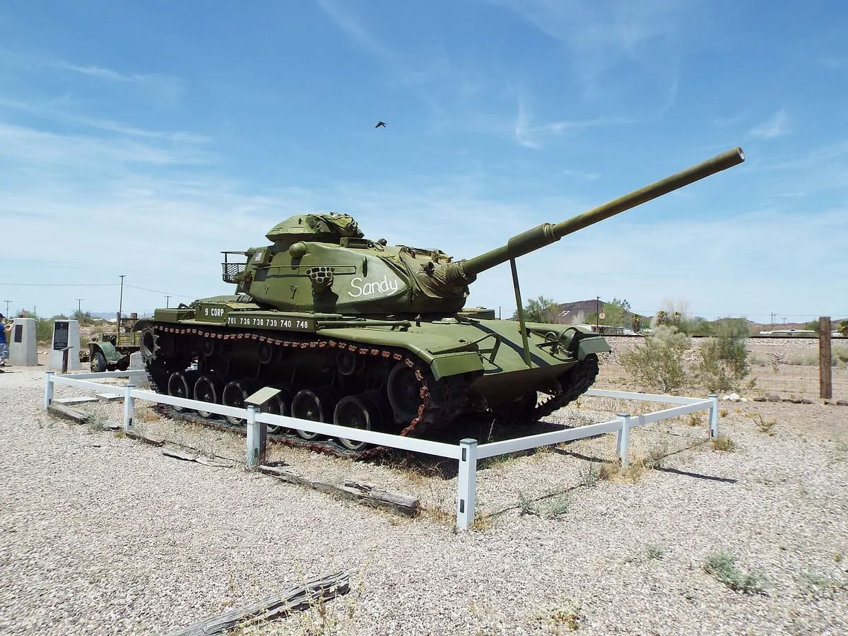
A secret camp of the US Army's Desert Training Center in western Arizona, 25 miles from the town of Bouse.
4 Score 44.1 out of 100 44.1
Historic Site
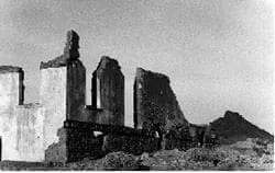
A gold rush town on the Colorado River, founded in 1862 and long abandoned before La Paz County took its name.
5 Score 41.2 out of 100 41.2
Historic Site
A ghost town in La Paz County, settled around 1909 to mine, process and smelt copper ore from the surrounding claims.
6 Score 31.9 out of 100 31.9
State Park
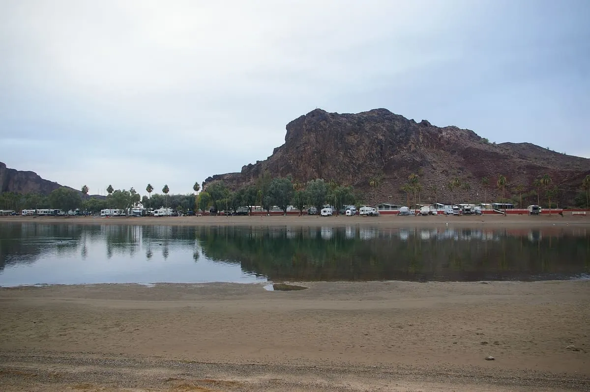
A public recreation area on the Colorado River near Parker, in two developed areas below the Buckskin Mountains.
7 Score 25.5 out of 100 25.5
Historic Site
A pre-Columbian desert geoglyph near Quartzsite depicting a fisherman, near a Native American lookout and stagecoach ruins.
8 Score 25.5 out of 100 25.5
Historic Site
Hundreds of pre-Columbian petroglyphs near Quartzsite, along a path past a ruined stone cabin and springs to a cliff base.
9 Score 25.5 out of 100 25.5
Historic Site
Tyson Wash grinding holes and petroglyphs, near Quartzsite, Arizona, preserves pre-Columbian petroglyphs on both sides of the wash.
10 Score 24.2 out of 100 24.2
Museum
Quartzsite Historical Society, in La Paz County, Arizona, occupies the site of an 1866 adobe stage station on the California–Arizona line.
Destinations in this county Blythe · Parker · Quartzsite · Wenden
County is resolved from each attraction's coordinates against U.S. Census geography rather than entered by hand, so a place near a county line is filed where it actually sits.