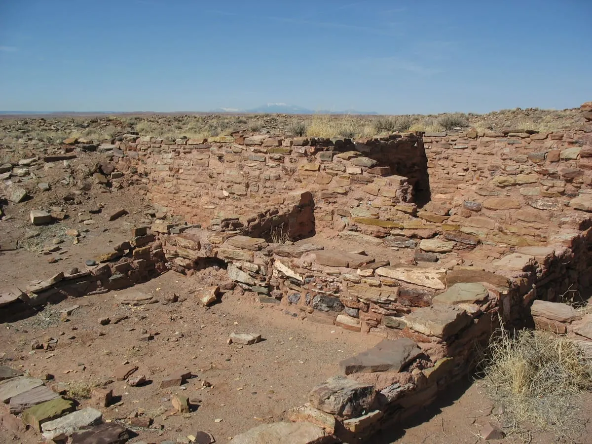
Homolovi State Park
An Arizona state park north of Winslow preserving more than 300 Ancestral Puebloan archaeological sites.
- Rank in Arizona
- #485of 727 ranked
- Overall score
- Score 31.2 out of 100high confidence
- Annual visits
- 31,758counted in 2024
- Category
- State Park
Homolovi State Park is an Arizona state park just over a mile north of Winslow, preserving more than 300 Ancestral Puebloan archaeological sites. Homolovi, or Homol'ovi in Hopi spelling, means "place of the little hills". The park offers historical exhibits, interpretive programmes, birdwatching and hiking, and has a year-round campground with showers and a dump station for recreational vehicles. It was closed from 22 February 2010 to 18 March 2011 because of state budget cuts. From 1986 until that reopening it was named Homolovi Ruins State Park; the Hopi tribe, which considers the sites spiritually alive, asked the state parks board to drop the word, and on 17 March 2011 the board voted unanimously to change the name and to add the tagline "ancestral Hopi villages". It recorded 31,758 visits in 2024.
Where it is
Homolovi State Park is a state park near Winslow, in Navajo County. It is one of the state parks in this database, and appears in the statewide ranking of Arizona attractions.
How this ranking was reached
The score combines the published visitor count with public interest and tourism significance, which is what earns it high confidence. The weighting is explained in full on the methodology page, and every axis is broken out under Facts and sources at the foot of this page.
Sources
- Visitation: Arizona Office of Tourism Monthly State Parks Visitation Report (December 2025); source Arizona State Parks, compiled by AHRRC(opens in a new tab)
- Public interest: Wikimedia pageviews (en.wikipedia, human traffic), 2024
- Coordinates and designations: Wikidata(opens in a new tab)
- County: U.S. Census geography via FCC Area API, resolved from coordinates
- Official site: https://azstateparks.com/homolovi(opens in a new tab)
Record last verified 2026-08-12.
More photographs
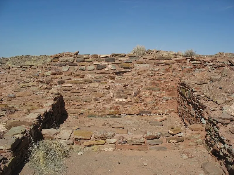
teofilo, CC BY 2.0 · licence(opens in a new tab) · source(opens in a new tab) 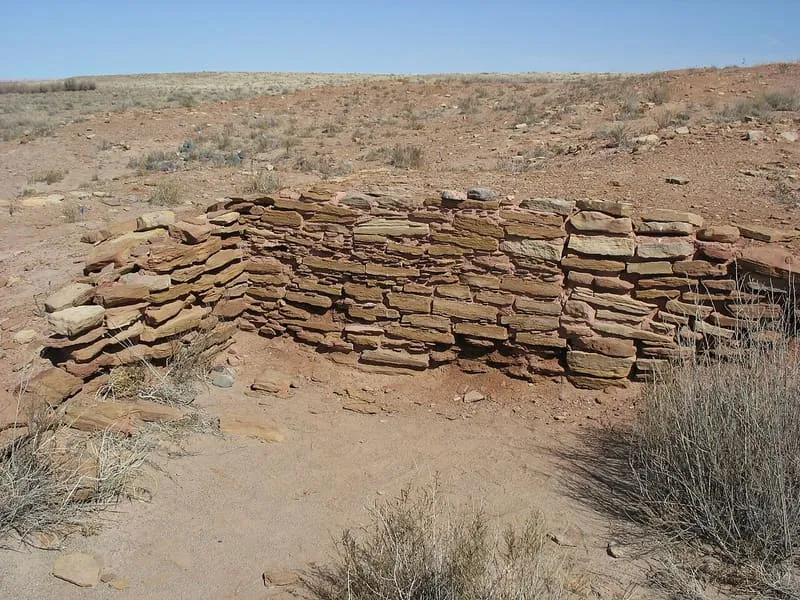
teofilo, CC BY 2.0 · licence(opens in a new tab) · source(opens in a new tab)
Nearby attractions
3.8 miles away
McHood Park / Clear Creek Reservoir
A Winslow-area reservoir park, in Navajo County, Arizona, with a petroglyph-lined canyon that is reachable only by canoe.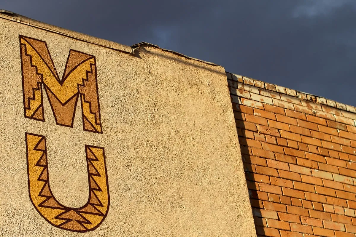
3.9 miles away
Old Trails Museum
Old Trails Museum, in Winslow, Navajo County, Arizona, is a small museum devoted to the history of the Winslow area.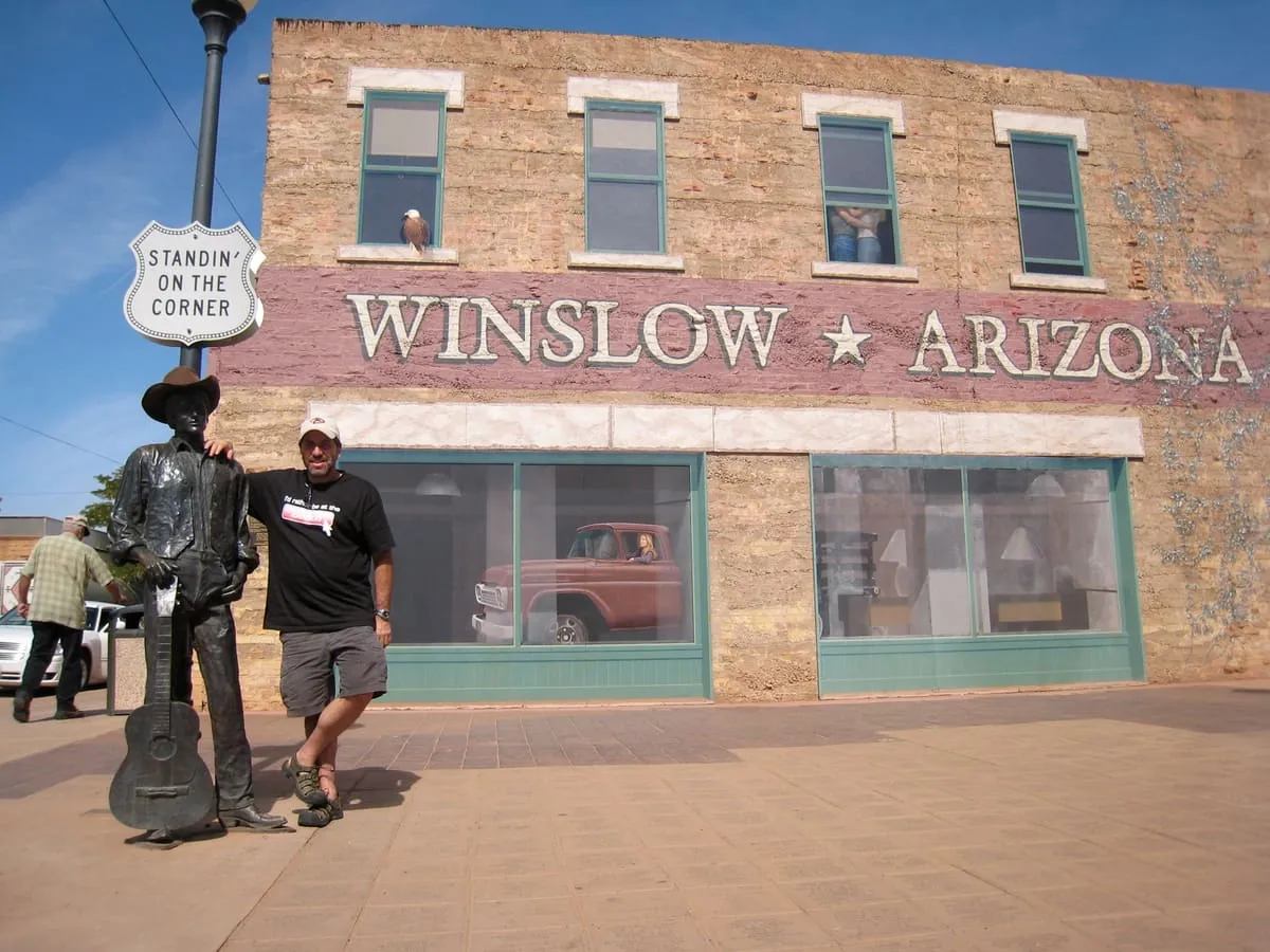
3.9 miles away
Standin' on the Corner Park
A park in Winslow, opened in 1999, commemorating the Eagles song "Take It Easy" with a mural, a flatbed Ford and a bronze statue.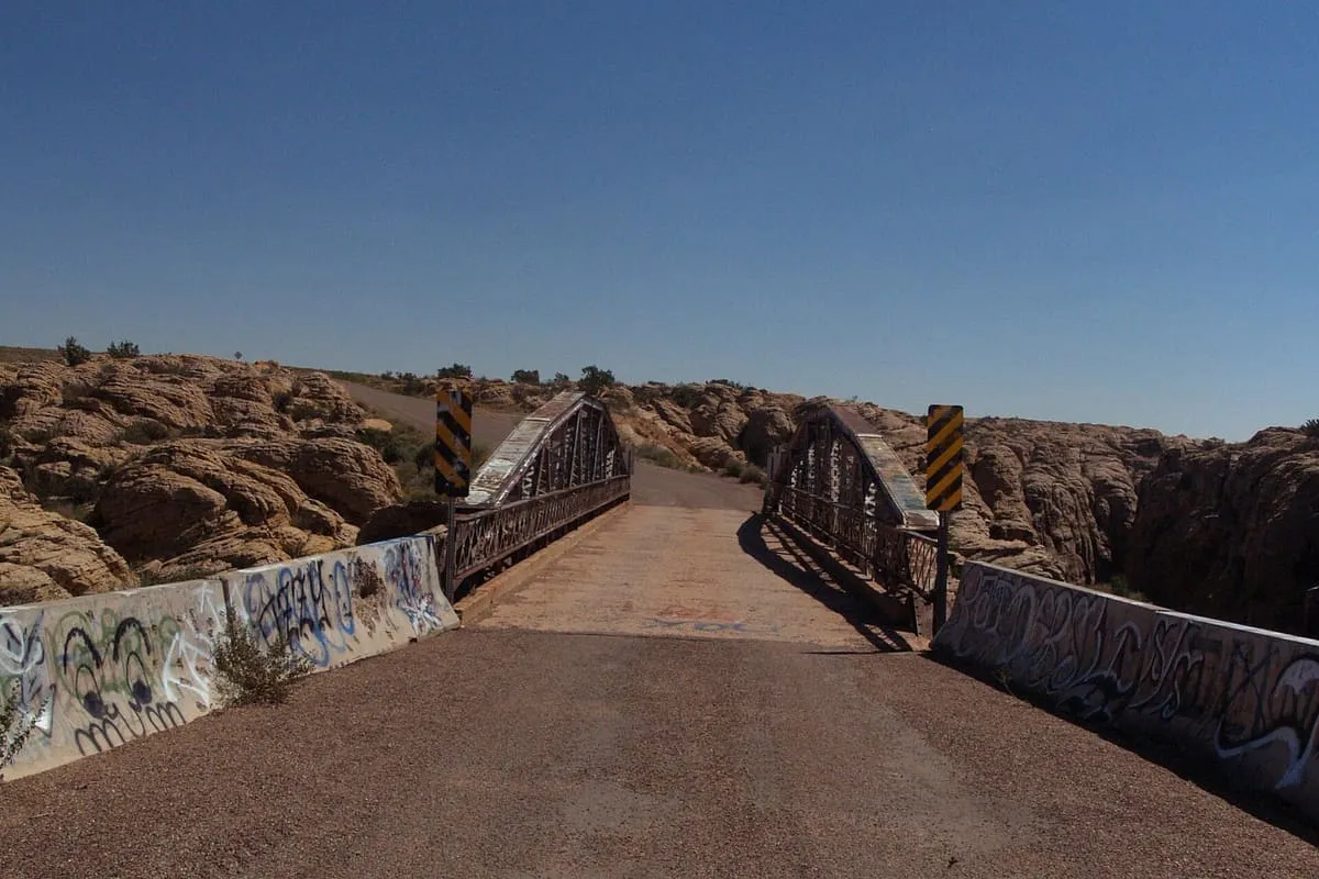
9.0 miles away
Chevelon Creek Bridge
A steel Warren pony truss bridge south-east of Winslow, among the first built by Arizona after statehood and listed in 1983.11 miles away
Rock Art Ranch House and Museum
Rock Art Ranch House and Museum, near Winslow, Arizona, preserves more than 3,000 petroglyphs spanning 6,000 years on a working cattle ranch.
Facts and sources
Place
- Category
- State Park
- Destination
- Winslow
- County
- Navajo County
- State
- Arizona
- Designations
- National Register of Historic Places listed place
Visitation
- Annual visits
- 31,758 (2024)
- What is counted
- visits
Ranking
- Overall score
- 31.2 / 100
- Visitation score
- 17.6
- Popularity score
- 12.5
- Significance score
- 67.0
- Confidence
- high
Visiting
- Official website
- azstateparks.com(opens in a new tab)
- Coordinates
- 35.0253, -110.6290
- Last verified
- 2026-08-12