3.1 miles away
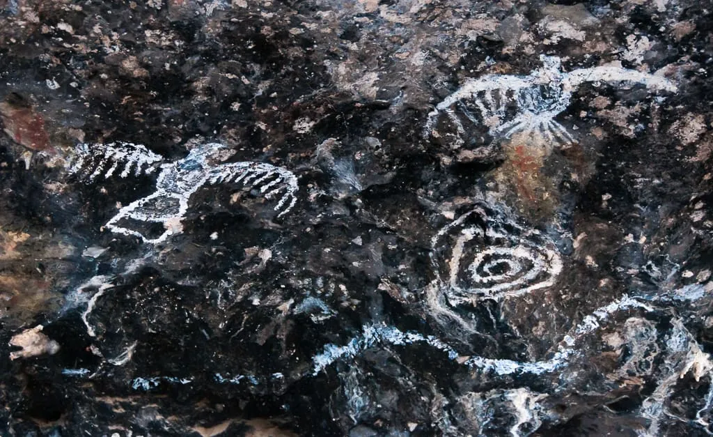
Garden Canyon
A Cochise County canyon near Sierra Vista with Apache and Hohokam pictograph sites, dated to around 1700 CE and 400–1250 CE respectively.
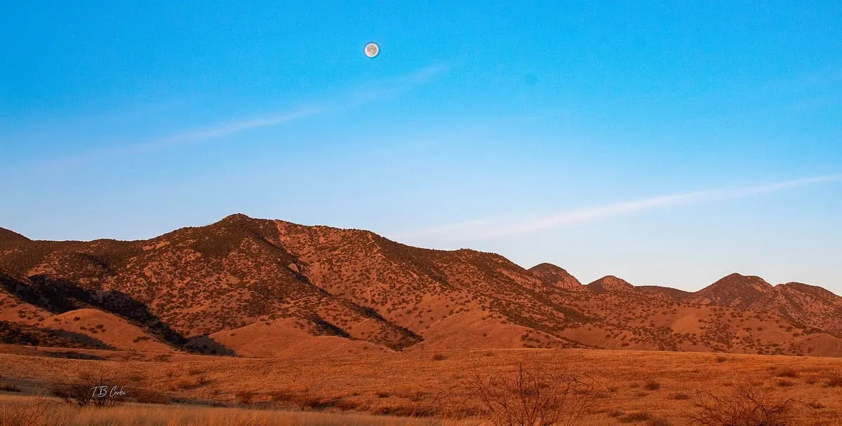
A range in south-eastern Arizona rising to 9,466 feet at Miller Peak, divided between the Coronado National Forest and Fort Huachuca.
The Huachuca Mountains are a range in Cochise County, in south-eastern Arizona, about 70 miles south-south-east of Tucson and south-west of Sierra Vista, extending a short distance across the border into Sonora. They rise from 3,934 feet at the base to 9,466 feet at Miller Peak, the highest summit in the range; Carr Peak, at 9,200 feet, is the second. The land is managed chiefly by the United States Forest Service, as part of the Sierra Vista Ranger District of the Coronado National Forest, which holds 41 per cent, and by the United States Army at Fort Huachuca, which holds 20 per cent, with a further 32 per cent in private hands. The Spanish named the range after a Pima village that once stood to the north of it, near the present site of Elgin. Coronado National Memorial lies on the south-eastern margin of the range and takes in Montezuma Pass, one possible point of entry for Francisco Vázquez de Coronado into what is now Arizona in 1540.
Huachuca Mountains is a natural landmark near Sierra Vista, in Cochise County. It is one of the natural landmarks in this database, and appears in the statewide ranking of Arizona attractions.
No official visitor count is published for Huachuca Mountains, so its score rests on public interest and tourism significance, and is capped below the level a measured attraction can reach. That is why the medium confidence above is not higher. The weighting is explained in full on the methodology page, and every axis is broken out under Facts and sources at the foot of this page.
Note on the data: No official visitor count is published for this attraction.
Record last verified 2026-08-12.
3.1 miles away
4.5 miles away
4.5 miles away
5.0 miles away
5.1 miles away