Home Counties Cochise County 82 attractions
1 Score 64.2 out of 100 64.2
Natural Landmark
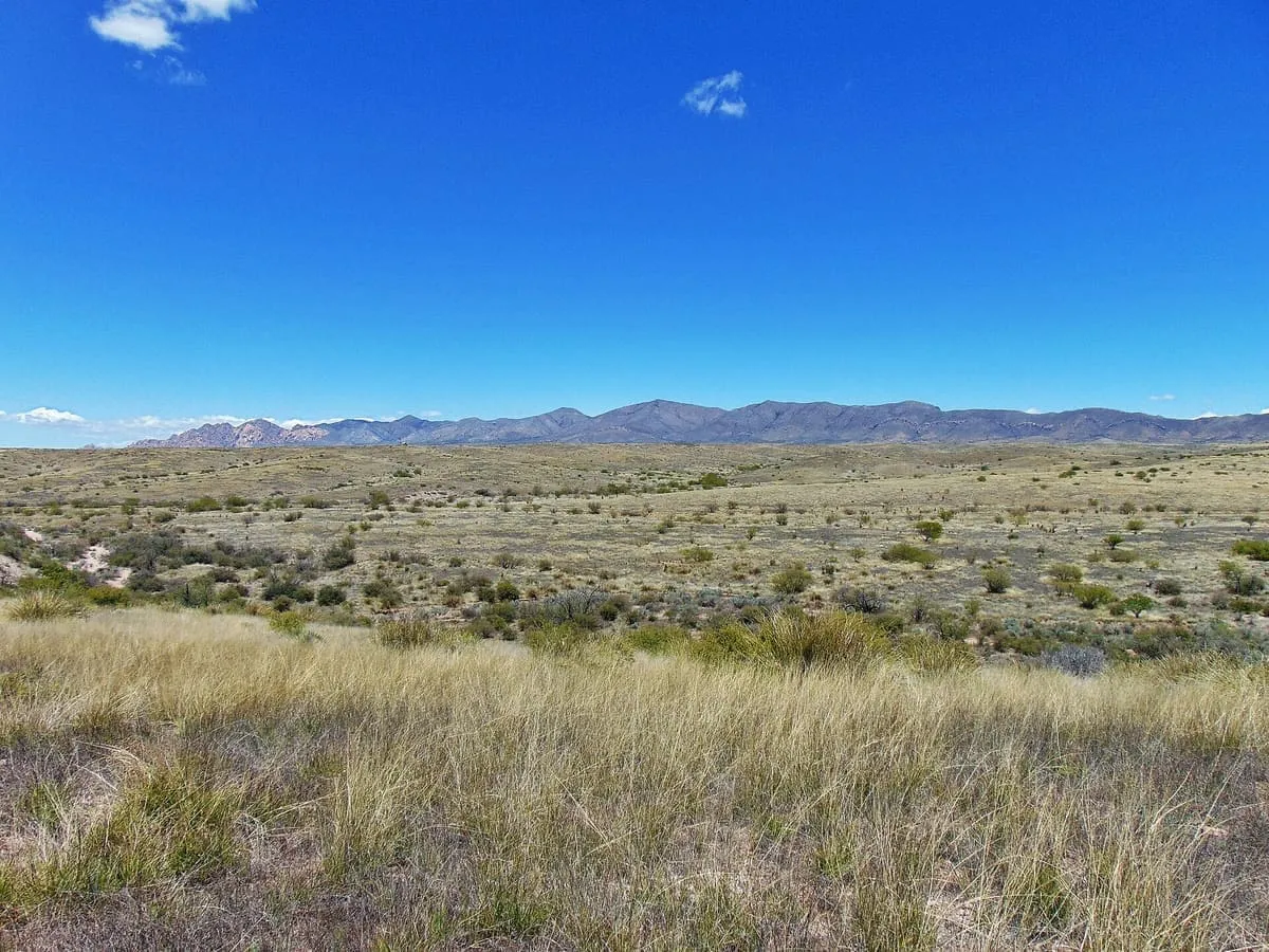
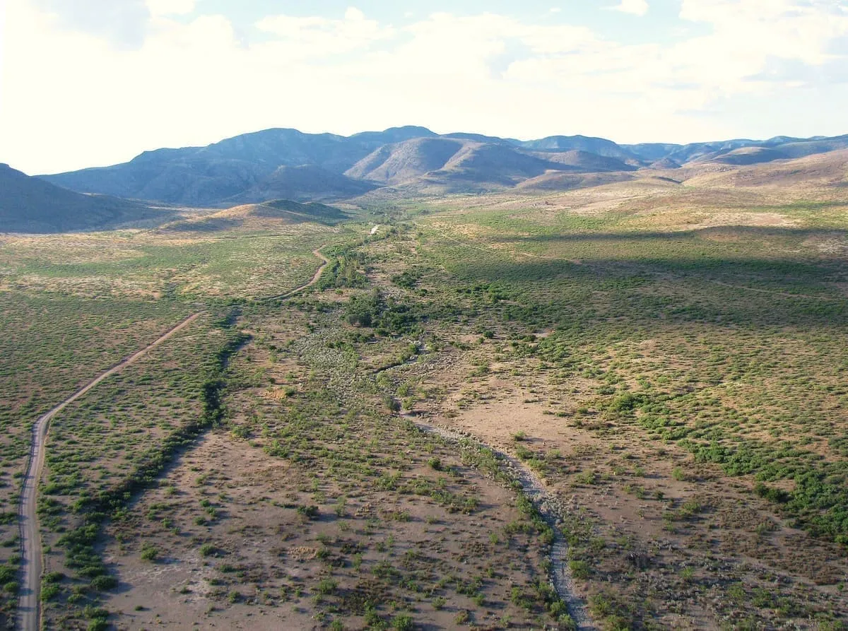
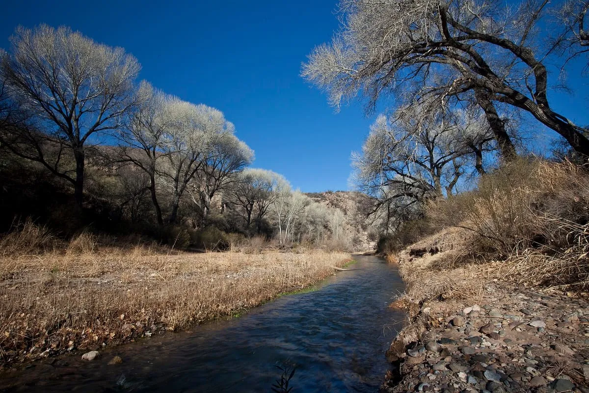
A valley running 140 miles north from Sonora into Arizona, carrying the San Pedro River to Winkelman.
2 Score 58.7 out of 100 58.7
Museum
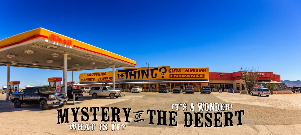
A roadside attraction on Interstate 10 displaying a supposed mummified mother and child, advertised for miles by billboards.
3 Score 55.4 out of 100 55.4
Historic Site
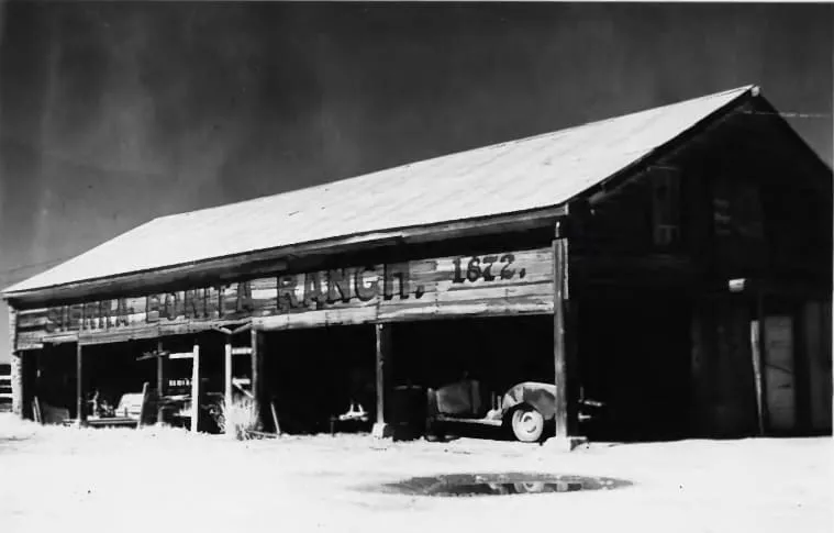
A Sulphur Springs Valley cattle ranch founded by Henry C. Hooker in 1872, the first permanent American cattle ranch in Arizona.
4 Score 55.0 out of 100 55.0
Historic Site
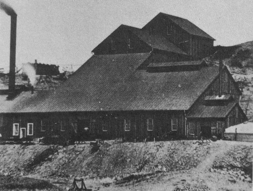
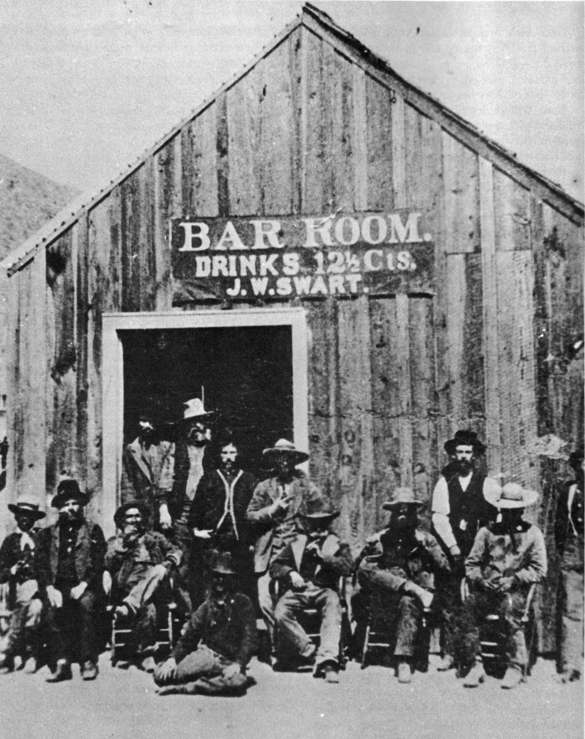
A ghost mining town in Cochise County, settled and abandoned in the 1880s with the rise and fall of silver mining near Tombstone.
5 Score 52.9 out of 100 52.9
Natural Landmark
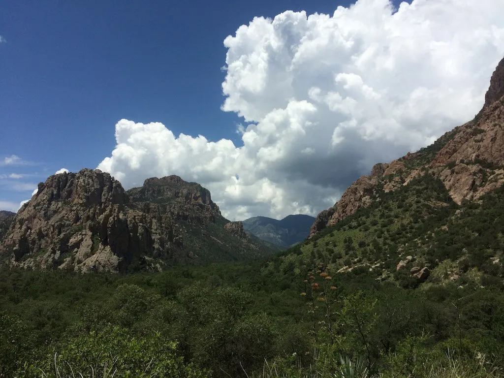
A range in south-eastern Arizona rising to 9,759 feet at Chiricahua Peak, lying largely within the Coronado National Forest.
6 Score 52.6 out of 100 52.6
Historic Site
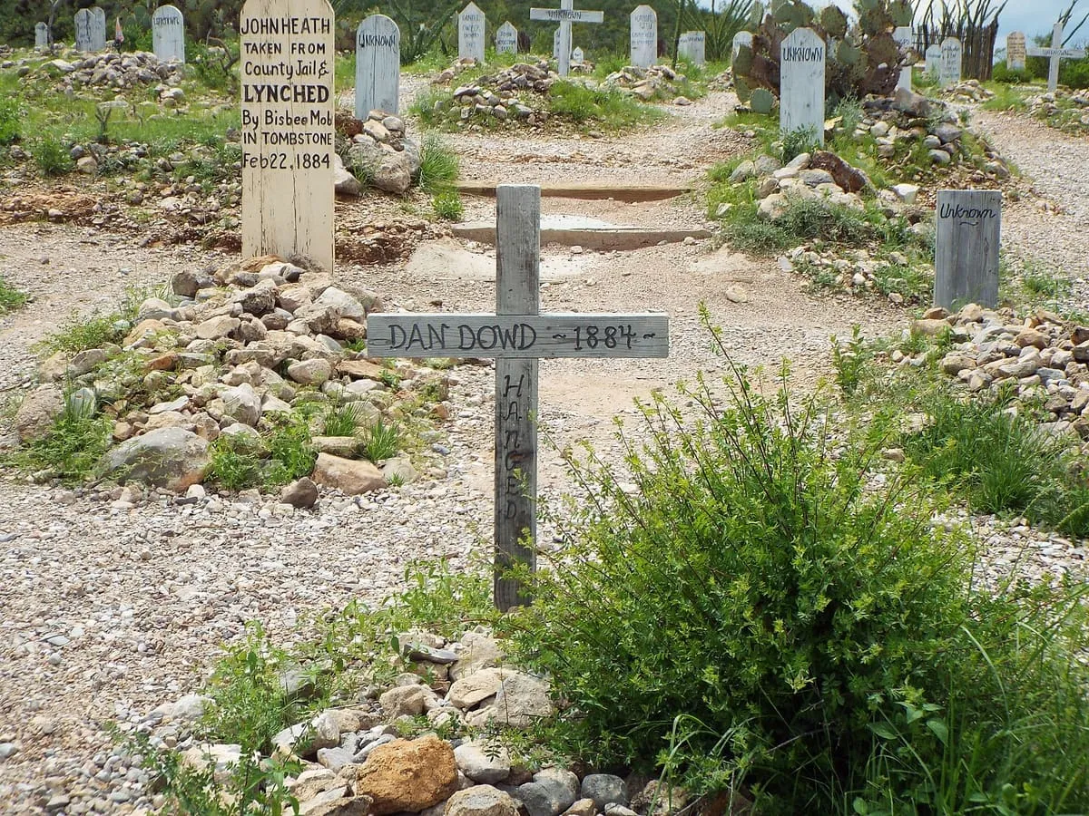
A Tombstone graveyard of at least 250 interments, used after 1883 only for the burial of outlaws and a few others.
7 Score 51.9 out of 100 51.9
State Park
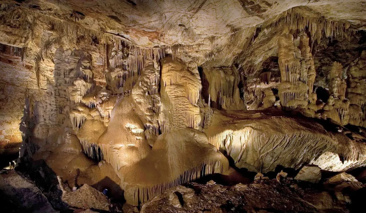
A living limestone cave near Benson, found in 1974 and kept from the public while conservation measures were designed.
8 Score 51.6 out of 100 51.6
Natural Landmark
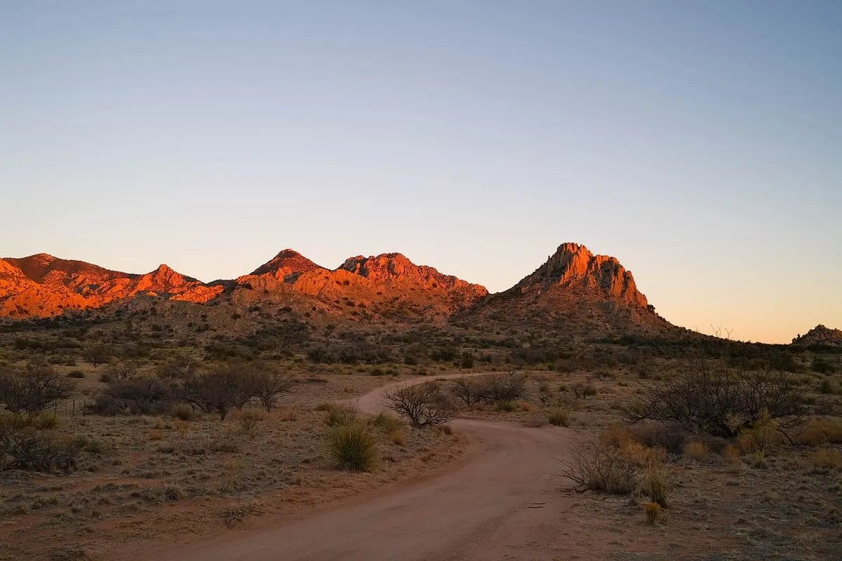
A 25-mile range in Cochise County named after the U.S. Cavalry Dragoons who fought the Chiricahua during the Apache Wars.
9 Score 51.6 out of 100 51.6
Historic Site
A US Army post established in 1862 near Apache Pass, central to operations that ended with the surrender of Geronimo in 1886.
10 Score 51.5 out of 100 51.5
Natural Landmark
A national forest of about 1.78 million acres spread across mountain ranges in south-eastern Arizona and south-western New Mexico.
11 Score 51.3 out of 100 51.3
Museum
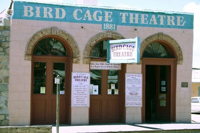
A former theatre in Tombstone that operated intermittently from December 1881 to 1894, and was leased as a coffee shop from 1934.
12 Score 51.3 out of 100 51.3
Historic Site
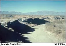
A National Historic Landmark on the San Pedro River where Paleo-Indians killed mammoths 11,000 to 12,000 years before the present.
13 Score 51.0 out of 100 51.0
Natural Landmark
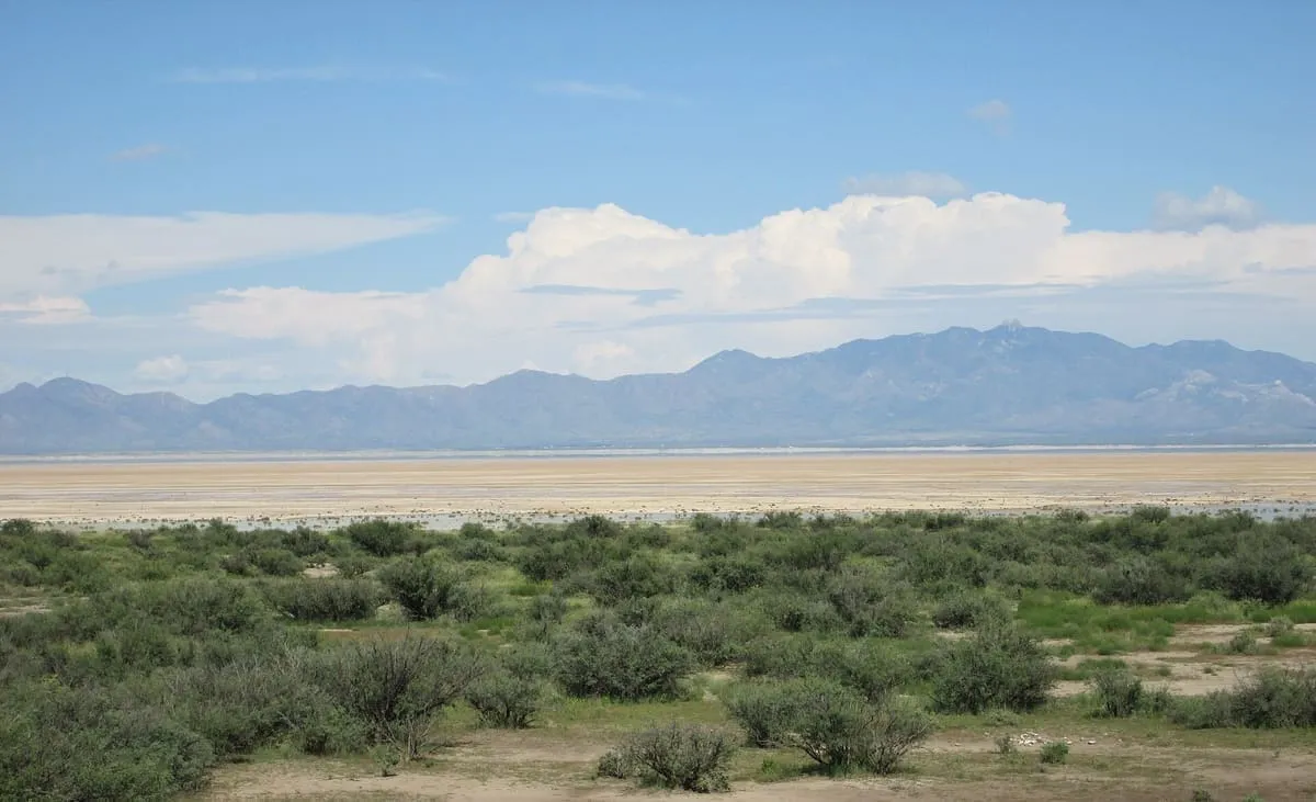
A 40-square-mile dry lake beside Willcox, remnant of Pleistocene Lake Cochise and a National Natural Landmark since 1966.
14 Score 49.9 out of 100 49.9
Historic Site
A ghost town on the San Pedro River in Cochise County that milled silver ore from Tombstone in the 1870s and 1880s.
15 Score 49.8 out of 100 49.8
Historic Site
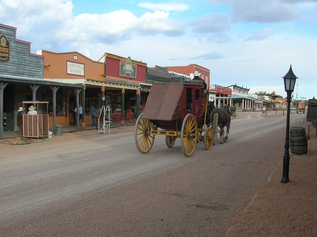
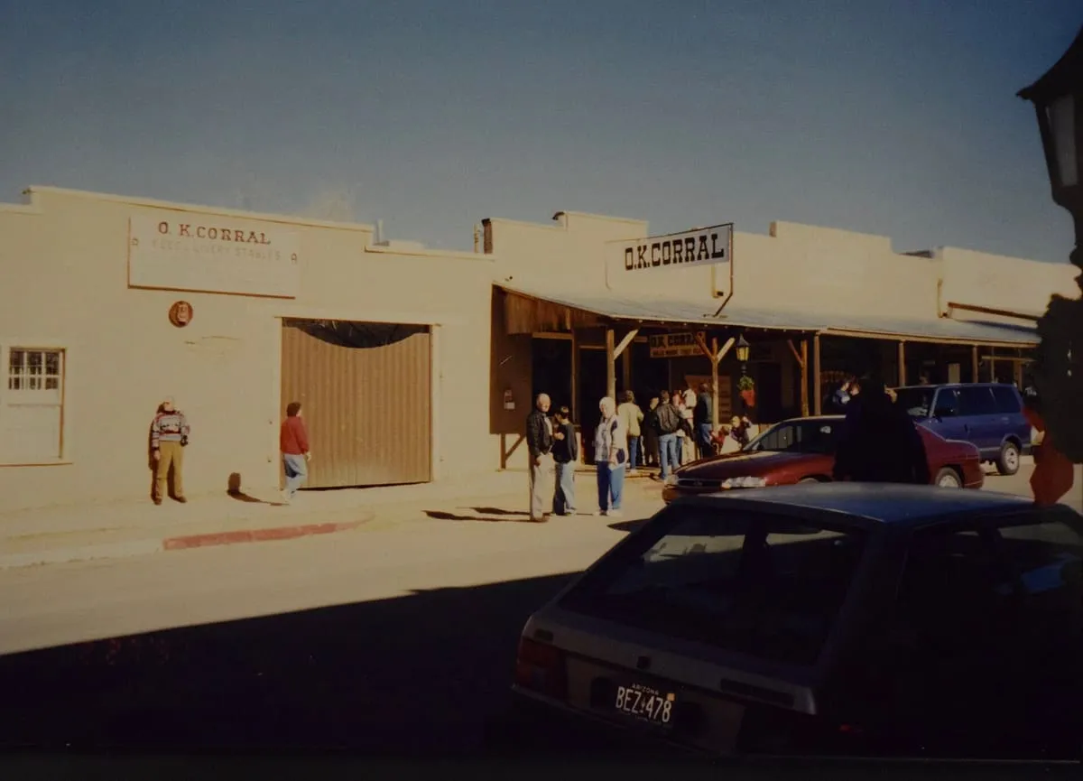
A National Historic Landmark district in Tombstone, a boom-and-bust mining town, taking in the O.K. Corral of the 1881 gunfight.
16 Score 49.7 out of 100 49.7
National Monument
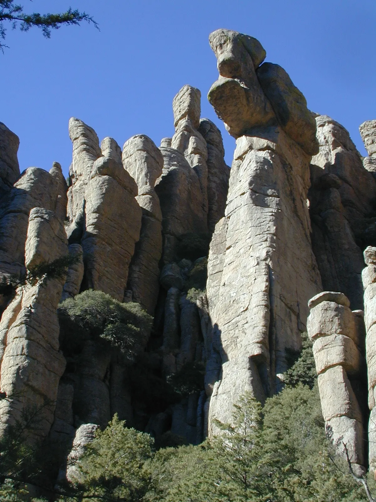
A National Park System unit in south-eastern Arizona, established in 1924 to protect its hoodoos and balancing rocks.
17 Score 49.0 out of 100 49.0
Historic Site
A ghost town and unincorporated community in the Sulphur Springs Valley of Cochise County, adjoining the settlement of Sunsites.
18 Score 48.4 out of 100 48.4
National Historic Site
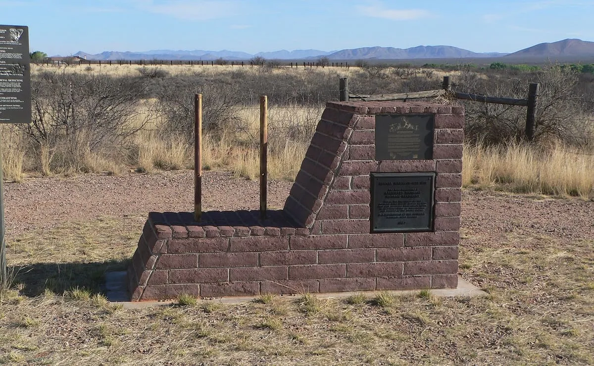
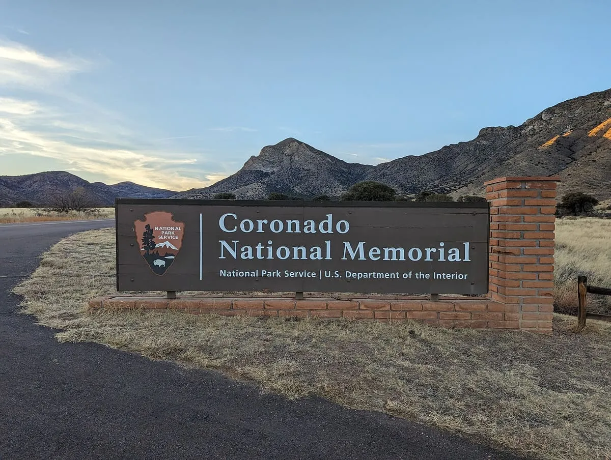
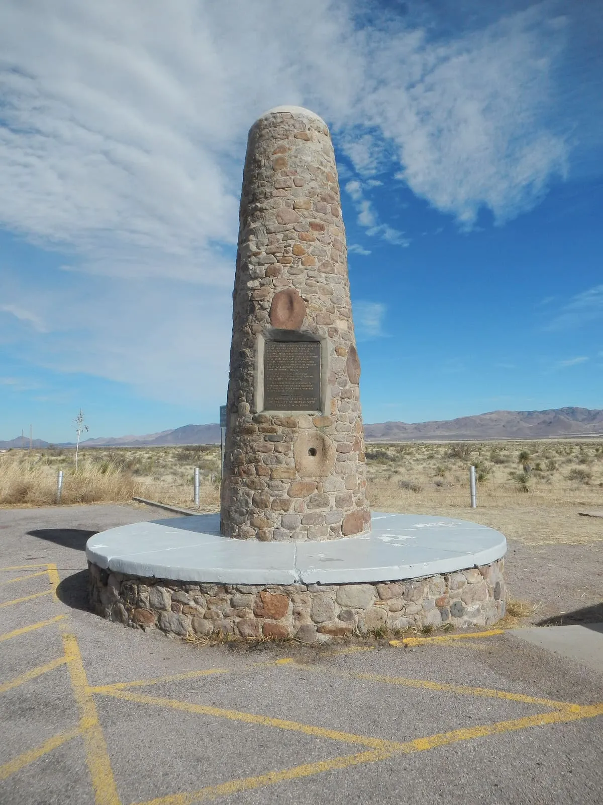
A memorial on the Mexican border marking where Coronado's 1540 expedition entered what is now Arizona.
19 Score 48.4 out of 100 48.4
Historic Site
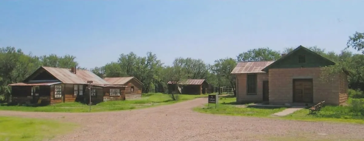
A small ghost town in Cochise County, Arizona, settled in 1901 while the area was still the Arizona Territory.
20 Score 48.0 out of 100 48.0
Natural Landmark
A range in south-eastern Arizona rising to 9,466 feet at Miller Peak, divided between the Coronado National Forest and Fort Huachuca.
21 Score 47.6 out of 100 47.6
Canyon
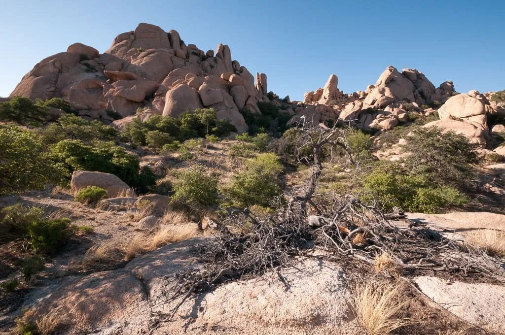
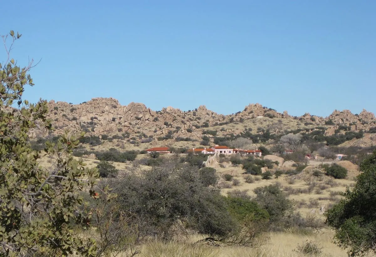
A boulder-strewn valley on Interstate 10 east of Benson, between the Dragoon and Little Dragoon Mountains, named for settlers from Texas.
22 Score 47.4 out of 100 47.4
Historic Site
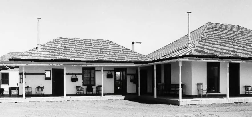
A National Historic Landmark ranch in south-eastern Cochise County, home of the lawman John Horton Slaughter from the 1880s until 1922.
23 Score 47.3 out of 100 47.3
Historic Site
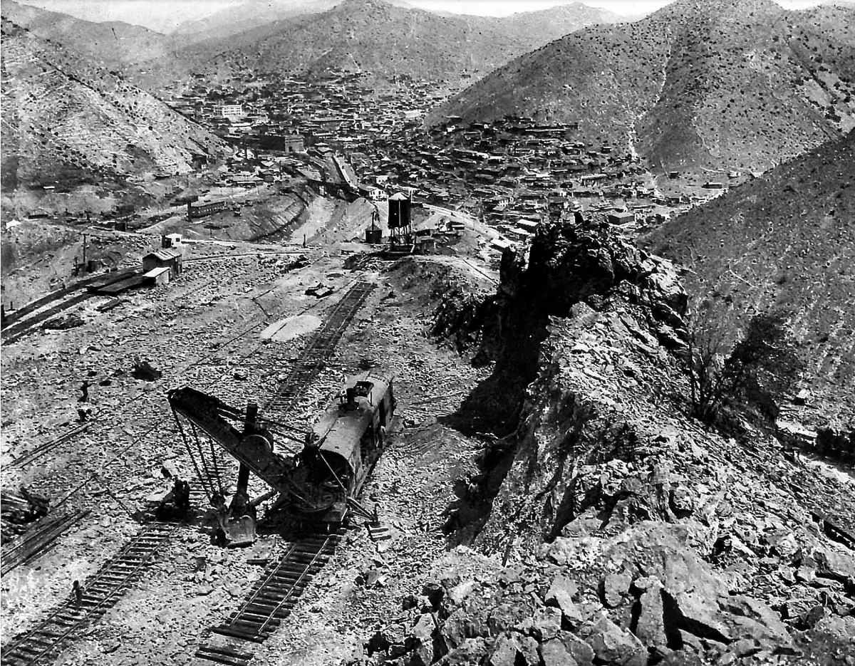
A Bisbee copper mine worked from the 1880s on an orebody running 23 per cent copper, once the most productive in Arizona.
24 Score 46.7 out of 100 46.7
Natural Landmark
A spring in the Whetstone Mountains where Wyatt Earp killed William "Curly Bill" Brocius in March 1882, later mapped as Mescal Springs.
25 Score 46.7 out of 100 46.7
Historic Site
A Clovis hunting camp near the San Pedro River, with five excavated kill and butchery sites dating to about 11,000 BP.
26 Score 46.6 out of 100 46.6
Natural Landmark
A 5,110-foot pass between the Dos Cabezas and Chiricahua Mountains east of Willcox, known in Spanish as Puerto del Dado.
27 Score 44.6 out of 100 44.6
Historic Site
An unincorporated community in Cochise County, founded in the 1880s as a coal and water stop on the railway.
28 Score 44.6 out of 100 44.6
Natural Landmark
A range in south-eastern Arizona named in 1859 for its novaculite, a fine-grained rock used to sharpen tools.
29 Score 44.0 out of 100 44.0
Natural Landmark
The highest point of the Chiricahua Mountains and of Cochise County, at 9,773 feet, with southernmost Engelmann spruce.
30 Score 43.7 out of 100 43.7
Natural Landmark
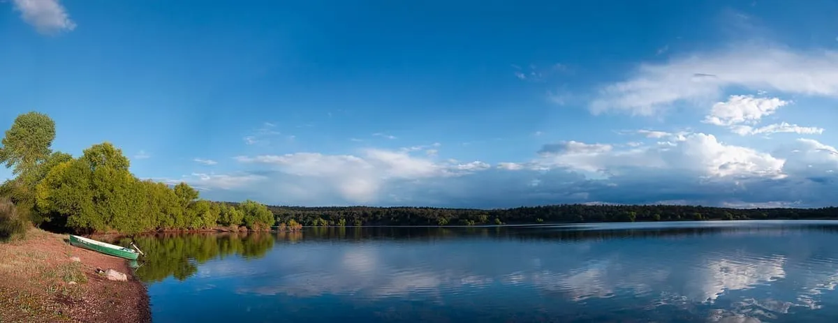
A reservoir in the Canelo Hills of Cochise County, 28 miles south-west of Sierra Vista and 5 miles from Mexico.
31 Score 43.6 out of 100 43.6
Historic Site
A ghost town on the San Pedro River, settled in 1881 as the nearest rail stop to Tombstone and now inside a conservation area.
32 Score 43.3 out of 100 43.3
Historic Site
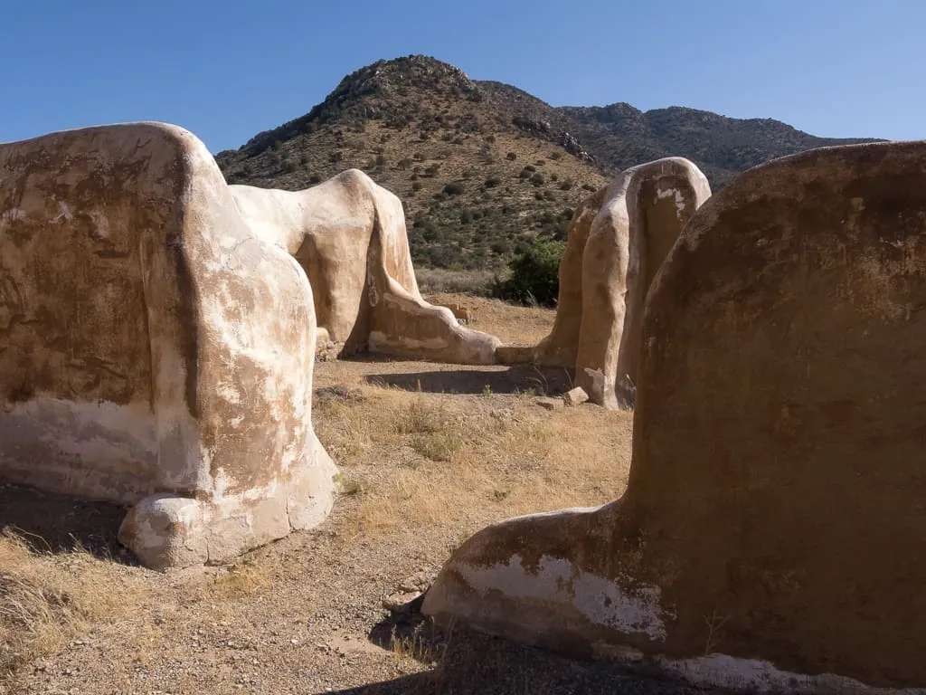
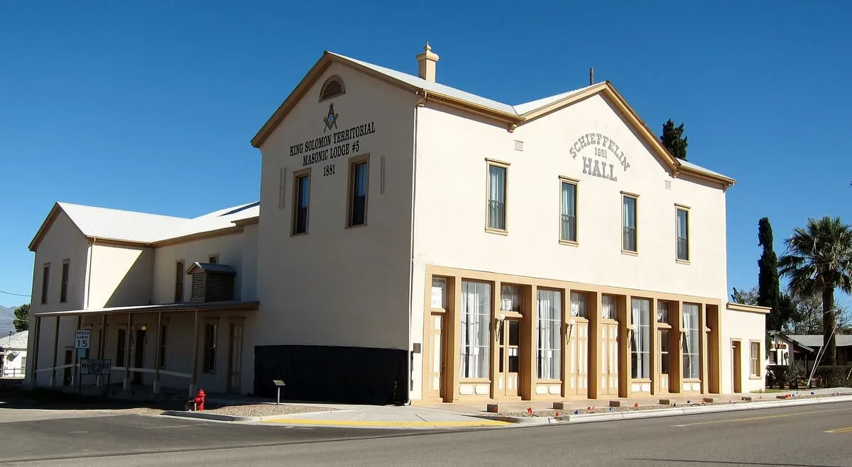
An 1881 adobe opera house, theatre and meeting hall at Tombstone, described as the largest standing adobe structure in the South-West.
33 Score 43.0 out of 100 43.0
Natural Landmark
A former cienega, or area of springs, 13 miles up the San Simon River from San Simon Station in Cochise County.
34 Score 41.9 out of 100 41.9
Natural Landmark
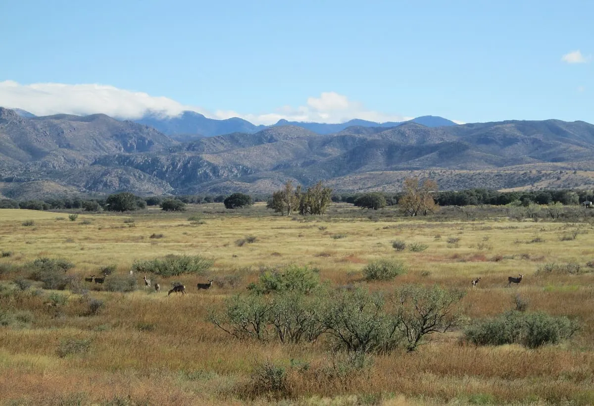
A valley in the eastern half of Cochise County, the large flatland west of the Chiricahua and Dos Cabezas mountains.
35 Score 41.3 out of 100 41.3
Historic Site
A ghost town in south-eastern Cochise County, first settled as Turquoise in the 1870s and re-established under its present name in 1900.
36 Score 41.1 out of 100 41.1
Natural Landmark
A 9,470-foot summit in the Huachuca Mountains south of Sierra Vista, the southernmost land above 9,000 feet in the continental United States.
37 Score 41.0 out of 100 41.0
Historic Site
A ruined cabin south-west of Tombstone where at least twenty-one people were killed between 1860 and 1890, many buried on the site.
38 Score 39.9 out of 100 39.9
Natural Landmark
A range in north-eastern Cochise County, part of the Madrean Sky Islands, lying east of the Willcox Playa and San Simon Valley.
39 Score 39.8 out of 100 39.8
Historic Site
A Whitewater Draw site excavated from 1926 by Byron Cummings and Emil Haury, which defined the Cochise culture in 1941.
40 Score 38.2 out of 100 38.2
Museum
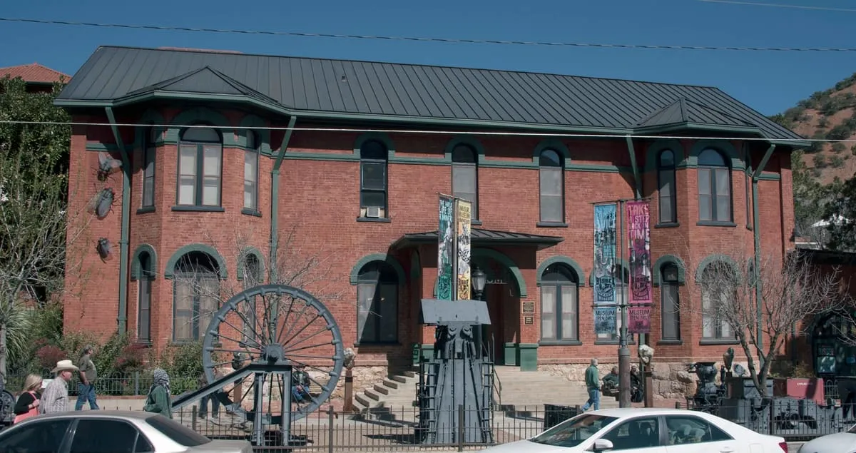
Bisbee's mining history museum occupies the Phelps Dodge General Office Building, a National Historic Landmark.
41 Score 37.4 out of 100 37.4
Landmark
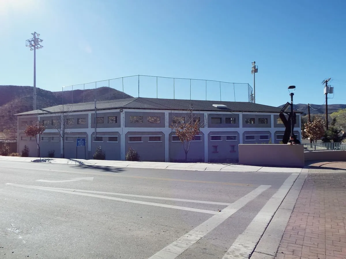
A 1909 mining-company ballpark in Bisbee, where 1,300 miners seized in the Bisbee Deportation were held in 1917.
42 Score 37.1 out of 100 37.1
Natural Landmark
A 57,000-acre BLM conservation area in Cochise County protecting 40 miles of the upper San Pedro River, designated by Congress in 1988.
43 Score 34.4 out of 100 34.4
Historic Site
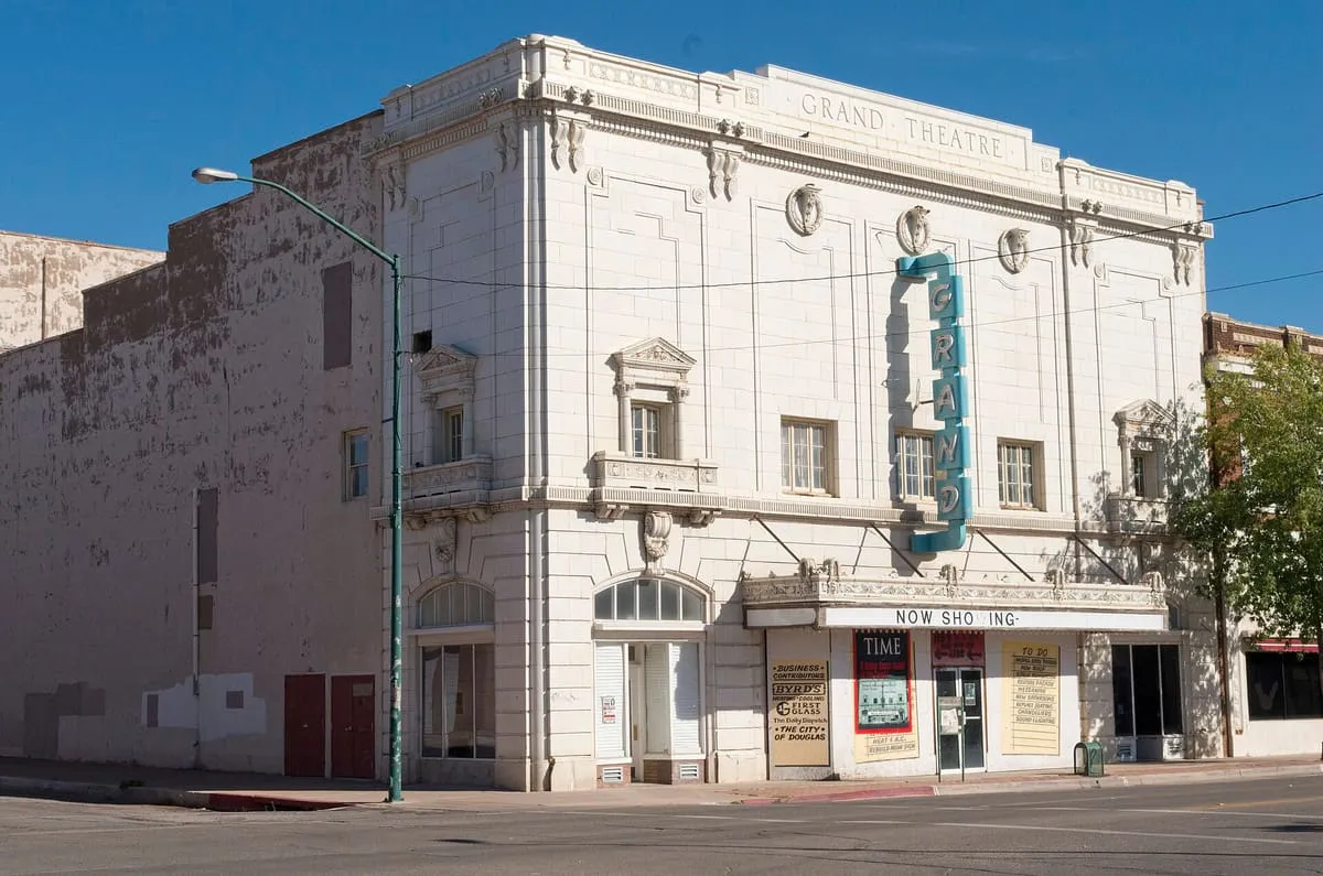
Douglas, Arizona's 1919 Grand Theatre, once host to Ginger Rogers and John Philip Sousa, is under restoration after decades of neglect.
44 Score 32.8 out of 100 32.8
Museum
A private museum and research facility in Cochise County's Texas Canyon, dedicated to Native American cultures and histories.
45 Score 32.7 out of 100 32.7
Museum
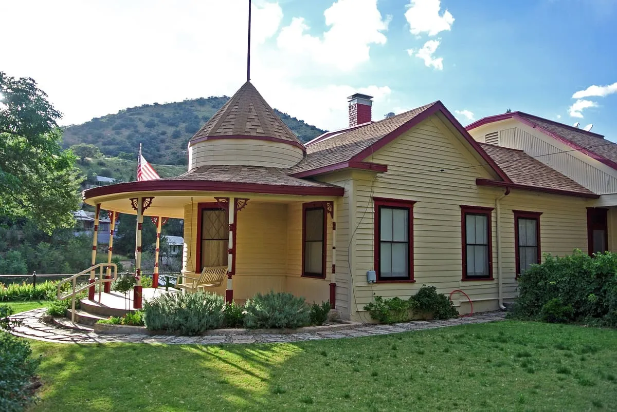
A fully restored 1898-1900 house museum in Bisbee named for merchant Joseph Muheim, listed on the National Register of Historic Places.
46 Score 31.6 out of 100 31.6
Historic Site
A historic ranch, formerly the Barchas Ranch, in the Huachuca Mountains' foothills near Sierra Vista, with trails linking to the National Forest.
47 Score 30.0 out of 100 30.0
Museum
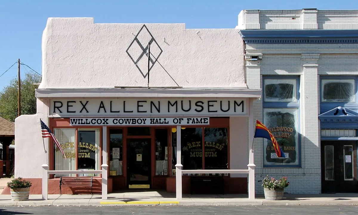
A Willcox museum honouring singing cowboy and Disney narrator Rex Allen (1920-1999), with an adjoining local cowboy hall of fame.
48 Score 29.8 out of 100 29.8
State Historic Park
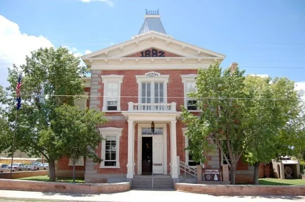
The 1882 Cochise County courthouse in Tombstone, now a museum and the first Arizona state park to open.
49 Score 26.4 out of 100 26.4
Canyon
A Cochise County canyon near Benson named for an early prospector, known for reliable springs and used by birdwatchers.
50 Score 26.4 out of 100 26.4
Canyon
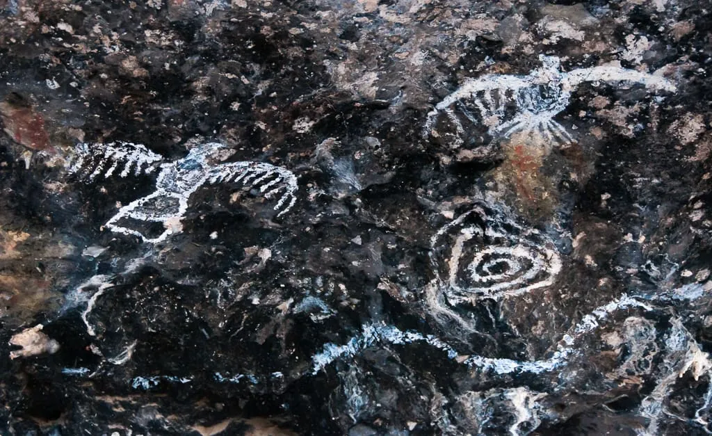
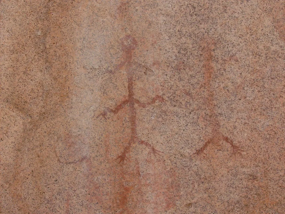
A Cochise County canyon near Sierra Vista with Apache and Hohokam pictograph sites, dated to around 1700 CE and 400–1250 CE respectively.
51 Score 26.4 out of 100 26.4
Canyon
Ramsey Canyon Preserve, near Sierra Vista, Arizona, has recorded more than 170 bird species, including 14 hummingbird species, along its hiking trails.
52 Score 25.5 out of 100 25.5
Historic Site
A 1917 border fort near Bisbee, said to be the only one remaining on the US-Mexico line, partly restored and partly fenced off.
53 Score 25.5 out of 100 25.5
Historic Site
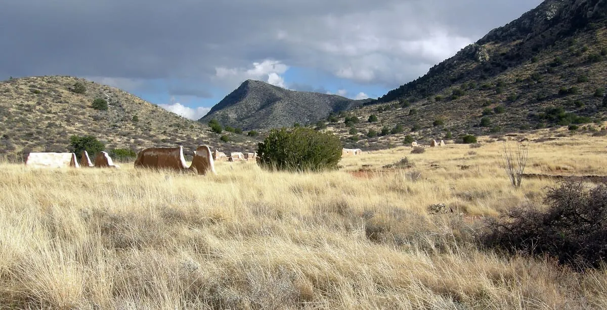
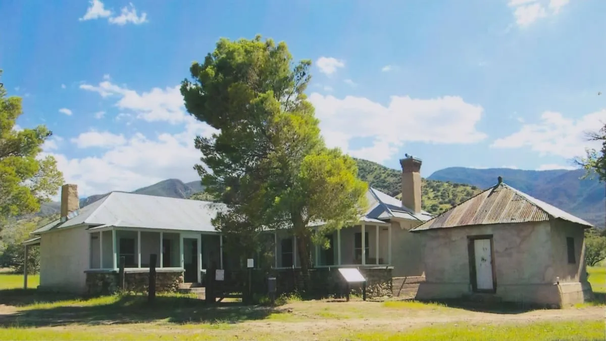
A former U.S. Army post in the Chiricahua Mountains, abandoned in 1890, with a number of buildings still standing.
54 Score 25.5 out of 100 25.5
Historic Site
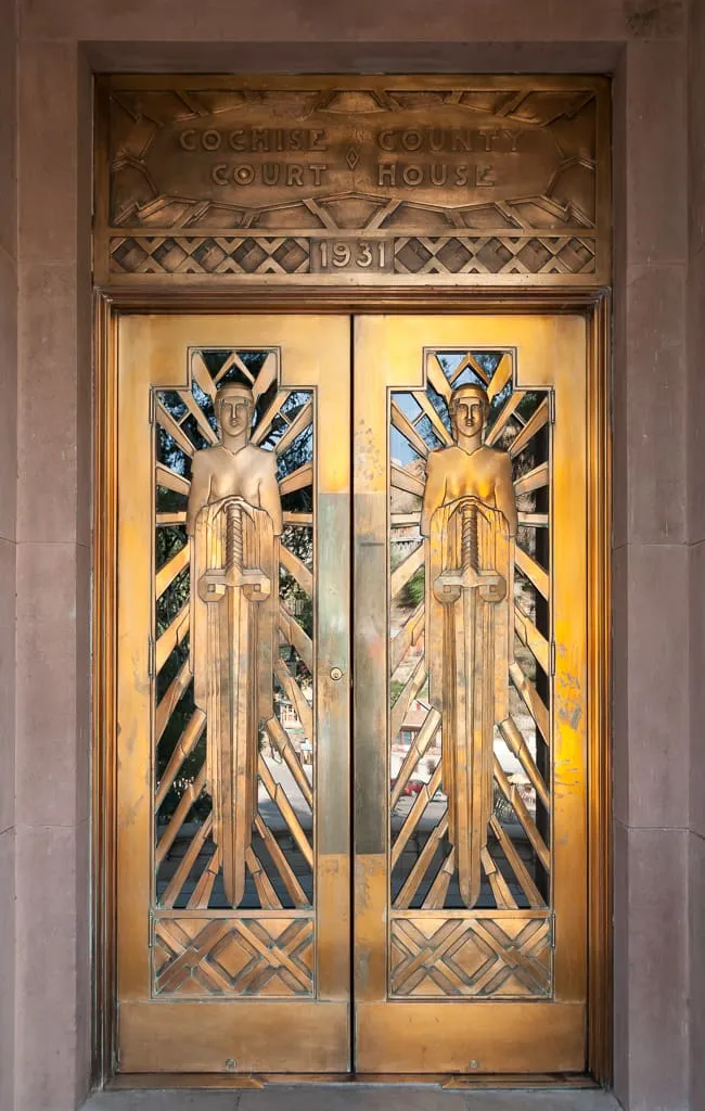
Bisbee's Art Deco county courthouse, designed by Roy Place, with copper doors and New Deal-era artwork including a hardware relief map.
55 Score 25.5 out of 100 25.5
Historic Site
A Dragoon Mountains site believed to be the burial place of Apache chief Cochise, and the start of the five-mile Cochise Trail.
56 Score 25.5 out of 100 25.5
Historic Site
A 1935 New Deal sculpture in Bisbee, cast in concrete and copper, modelled on local resident Lee Petrovitch to honour the town's miners.
57 Score 25.5 out of 100 25.5
Historic Site
A Dragoon Mountains site amid boulders with pre-Columbian pictographs, believed to be where Cochise and General Howard negotiated an 1872 treaty.
58 Score 25.5 out of 100 25.5
Historic Site
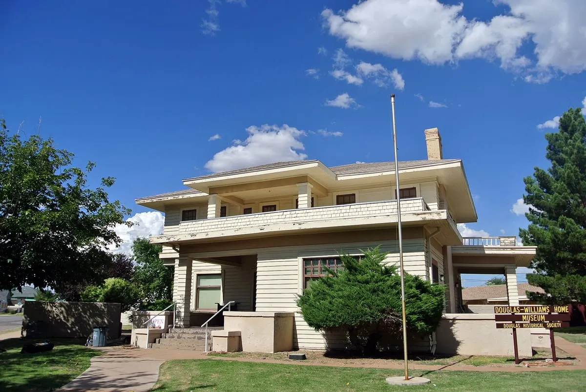
A small museum in Douglas, Arizona, displaying historic photographs and memorabilia from the surrounding area.
59 Score 25.5 out of 100 25.5
Historic Site
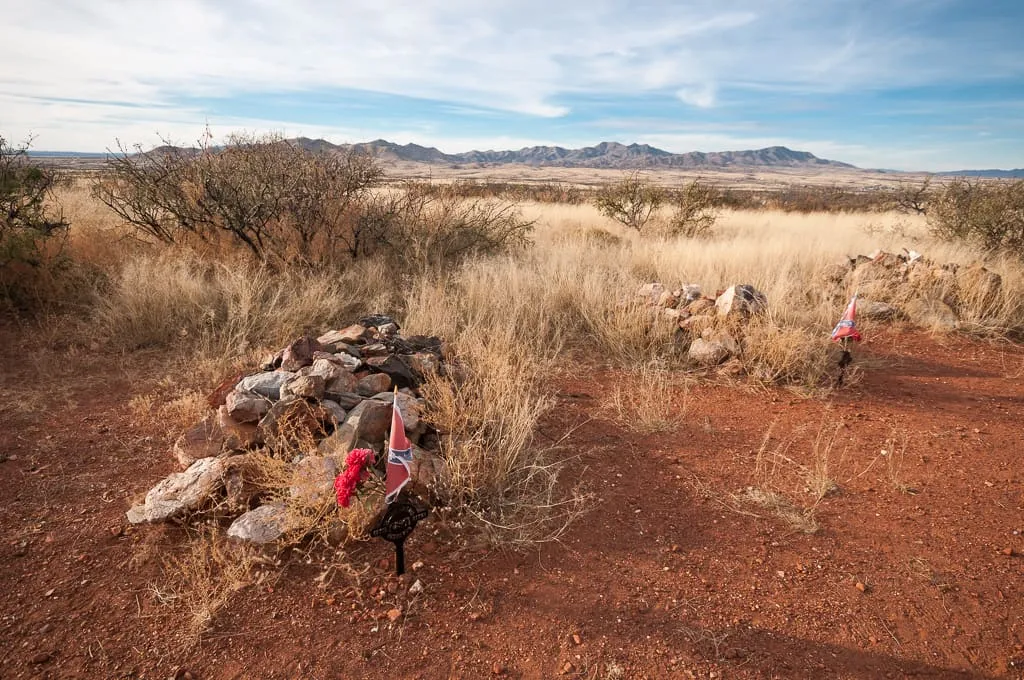
A Dragoon Mountains site with a ruined Butterfield stagecoach station and Civil War graves from the First Battle of Dragoon Springs.
60 Score 25.5 out of 100 25.5
Historic Site
A monument near Tombstone marking the site of Ed Schieffelin's silver claim, the discovery that led to the town's founding.
61 Score 25.5 out of 100 25.5
Historic Site
A former homestead in Chiricahua National Monument, settled in 1887 by Swedish immigrants Emma and Neil Erickson, later expanded into a house.
62 Score 25.5 out of 100 25.5
Historic Site
A Chiricahua Mountains monument marking the 1886 surrender of Geronimo to General Nelson Miles, near the largely inaccessible actual site.
63 Score 25.5 out of 100 25.5
Natural Landmark
A steep Cochise County trail to San Pedro Valley views of the Huachuca and Dragoon Mountains, starting within Kartchner Caverns State Park.
64 Score 25.5 out of 100 25.5
Historic Site
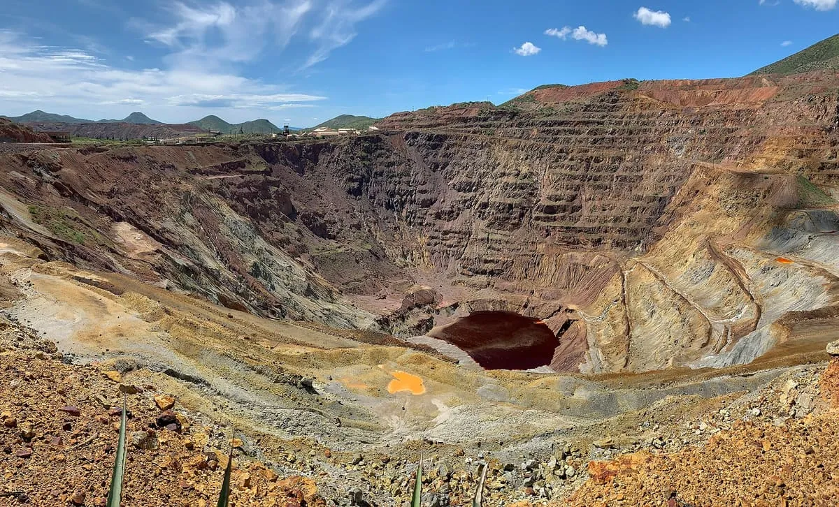
A former Bisbee copper mine that produced about 600,000 tons of copper from 1950 to 1974, viewable from a roadside platform.
65 Score 25.5 out of 100 25.5
Historic Site
Tombstone's O.K. Corral, a former horse corral and National Historic Landmark, stages a daily re-enactment of its namesake gunfight.
66 Score 25.5 out of 100 25.5
Historic Site
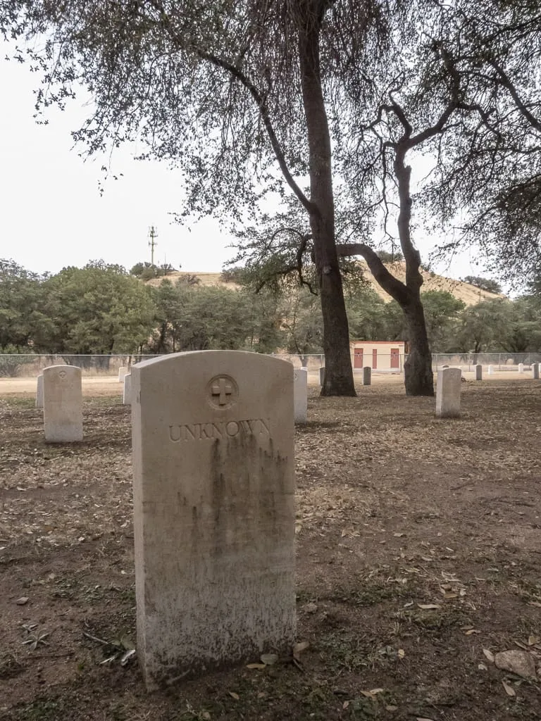
Old Post Cemetery, in Sierra Vista, Arizona, holds the graves of Apache Wars cavalry, Buffalo Soldiers, and Apache scouts, some marked only 'Unknown'.
67 Score 25.5 out of 100 25.5
Historic Site
Presidio Santa Cruz de Terranate, near Tombstone, Arizona, holds the most intact US remains of a Spanish colonial fortress, built in 1776 and abandoned by 1780.
68 Score 25.5 out of 100 25.5
Natural Landmark
Reservoir Hill Overlook, in Sierra Vista, Cochise County, Arizona, gives views over the fort and the neighbouring Whetstone Mountains.
69 Score 25.5 out of 100 25.5
Natural Landmark
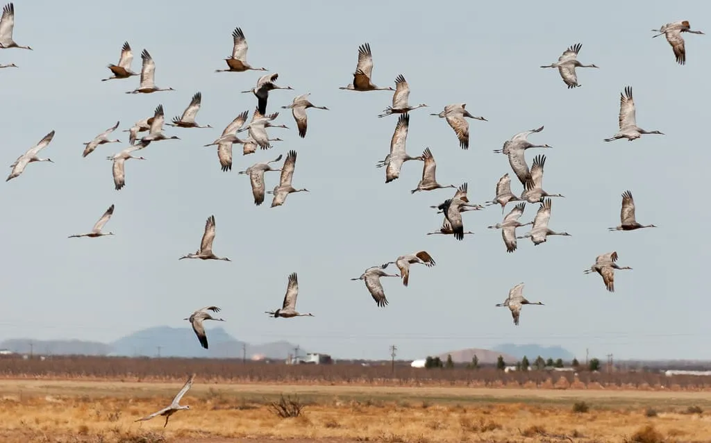
Whitewater Draw Wildlife Area, near Douglas, Arizona, hosts about 20,000 wintering sandhill cranes each year, most visible from December to February.
70 Score 25.5 out of 100 25.5
Historic Site
Willcox Pioneer Cemetery, in Willcox, Arizona, is an abandoned pioneer cemetery and the burial site of Warren Baxter Earp, youngest of the Earp brothers.
71 Score 25.5 out of 100 25.5
Historic Site
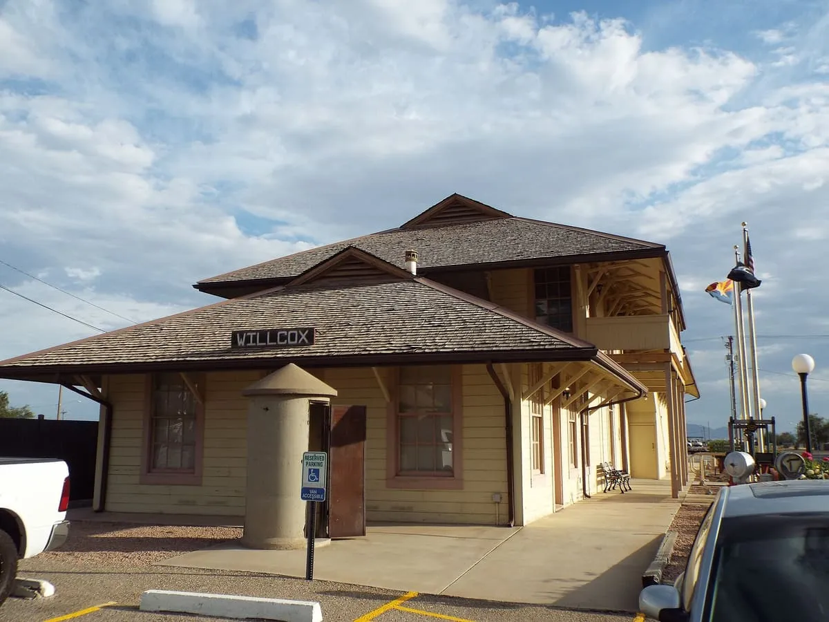
Willcox Southern Pacific Railroad Depot, built in 1881, is the only surviving southern transcontinental railroad depot and now houses Willcox City Hall.
72 Score 24.2 out of 100 24.2
Museum
The Border Air Museum in Douglas, Cochise County, Arizona, is dedicated to the history of cross-border aviation.
73 Score 24.2 out of 100 24.2
Museum
A small Willcox, Arizona museum with displays focused on the local history of the surrounding region.
74 Score 24.2 out of 100 24.2
Museum
Fort Huachuca Museum, in Sierra Vista, Cochise County, Arizona, is a museum that includes a small gift shop.
75 Score 24.2 out of 100 24.2
Museum
A working movie set and museum near Benson, Arizona, closed to visitors during filming, with a collection of movie memorabilia and antiques.
76 Score 24.2 out of 100 24.2
Museum
A small Sierra Vista museum of historic artefacts and photographs from the surrounding Cochise County region.
77 Score 24.2 out of 100 24.2
Museum
Rose Tree Museum, in Tombstone, Arizona, is said to house the world's largest rose tree alongside its historical exhibits.
78 Score 24.2 out of 100 24.2
Museum
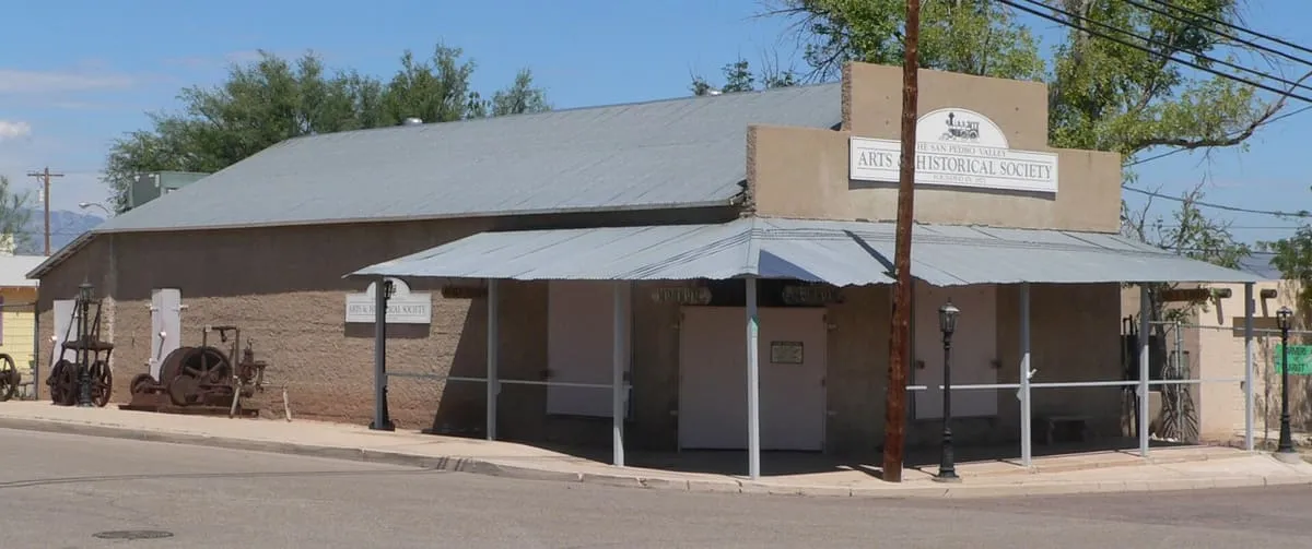
San Pedro Valley Arts & Historical Society, in Benson, Arizona, displays local and regional history and sells local artisans' work in its gift shop.
79 Score 24.2 out of 100 24.2
Museum
US Army Intelligence Museum, in Sierra Vista, Arizona.
80 Score 19.8 out of 100 19.8
Landmark
A pick-your-own orchard near Willcox growing apples and peaches, which also hosts an annual October pumpkin festival.
81 Score 19.8 out of 100 19.8
Landmark
The Arizona Folklore Preserve is a music venue near Sierra Vista, Cochise County, Arizona, that hosts musicians in concert.
82 Score 19.8 out of 100 19.8
Landmark
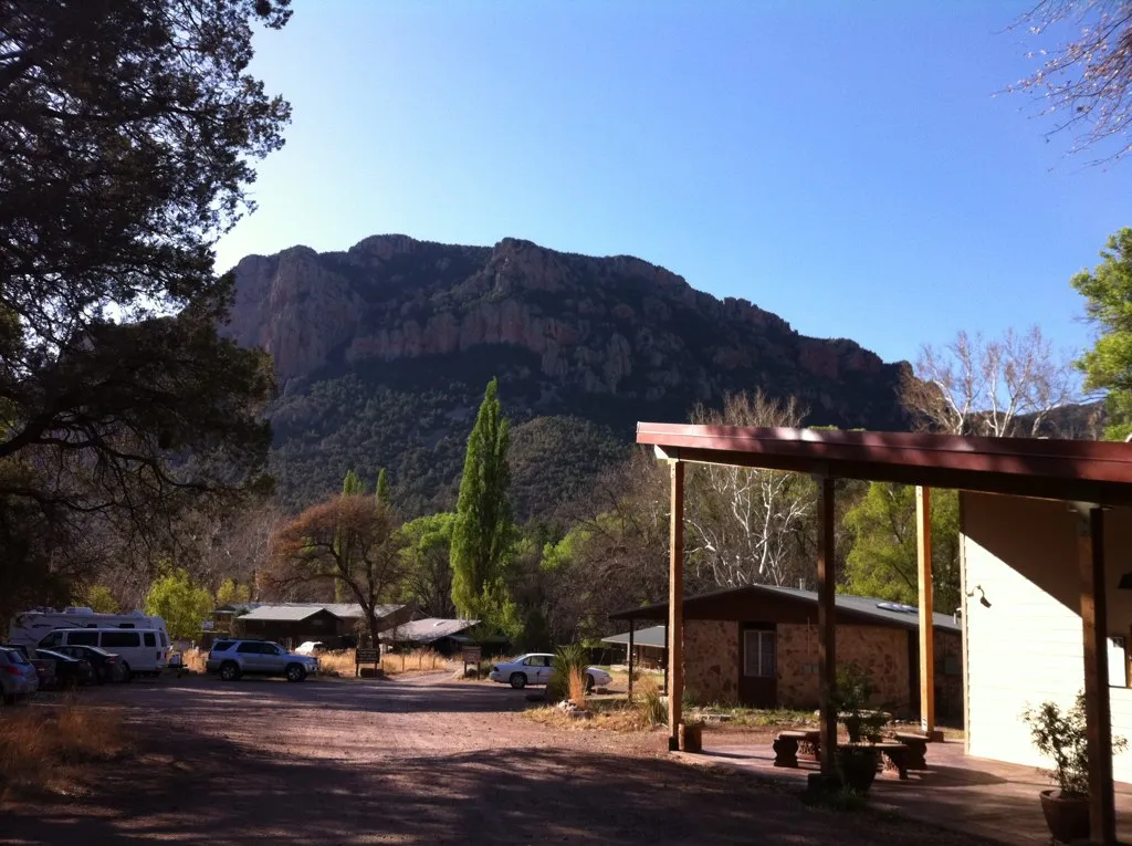
Southwest Research Station, in the Chiricahua Mountains, Arizona, is run by the American Museum of Natural History and offers birdwatching tours.