0.9 miles away
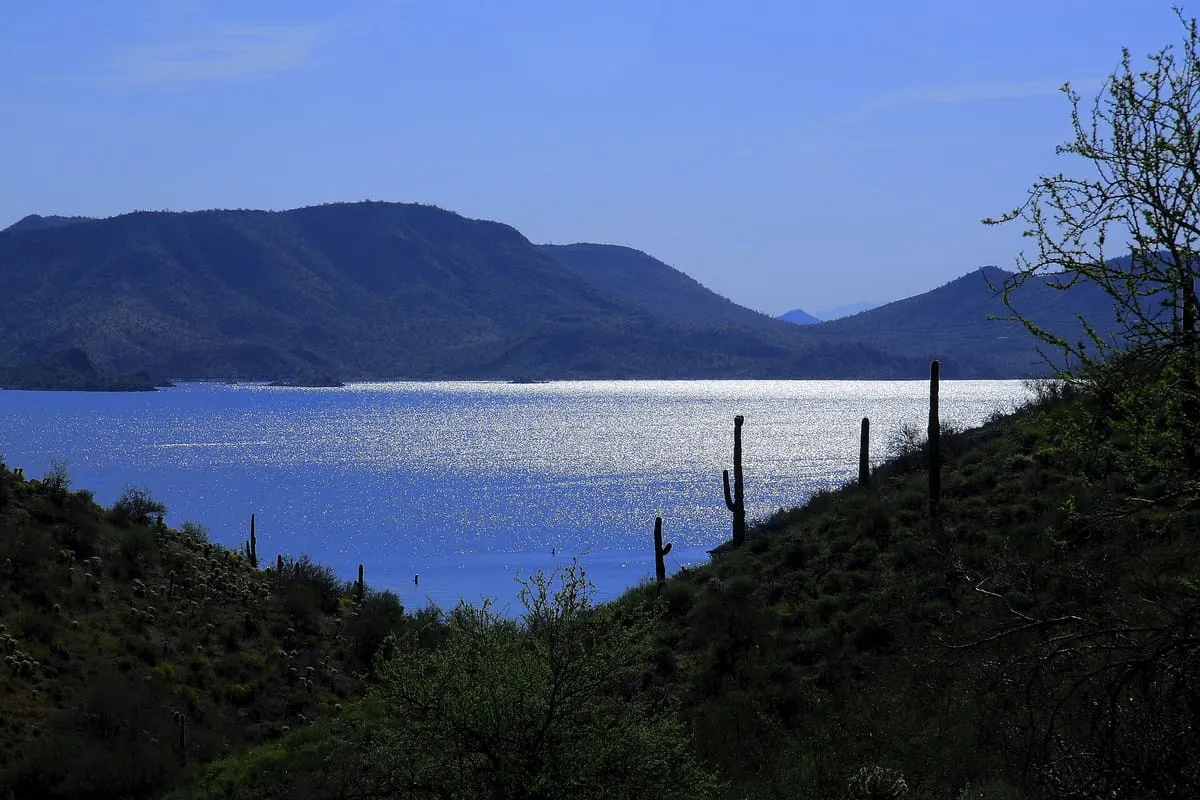
Lake Pleasant Regional Park
A large recreation area on the Maricopa–Yavapai county line north-west of Phoenix, operated by Maricopa County Parks and Recreation.
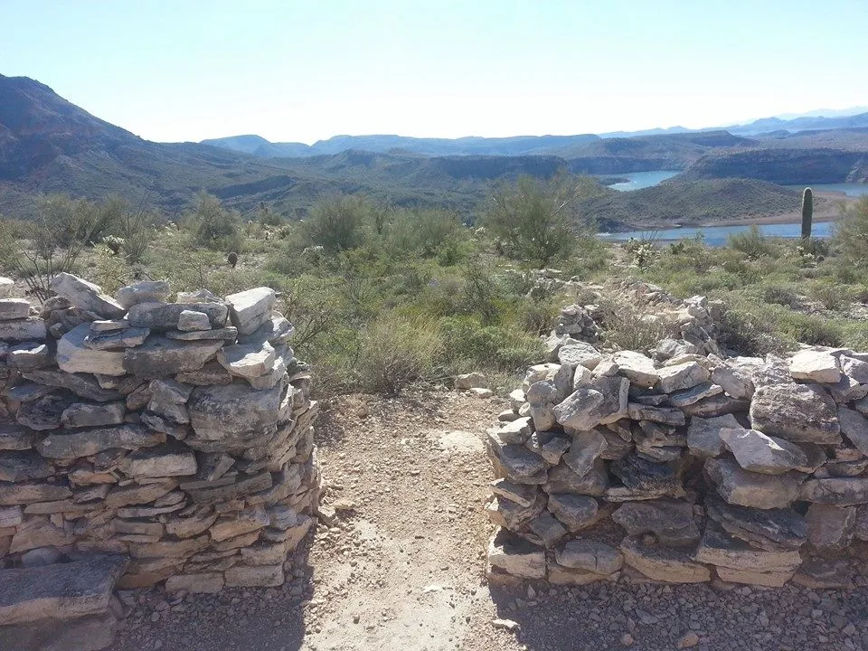
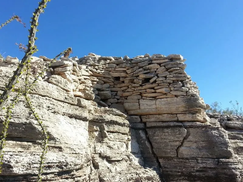
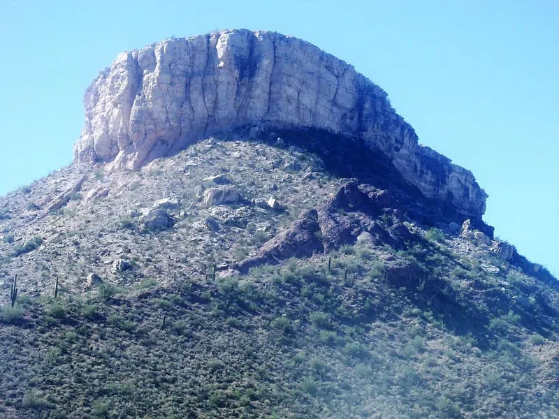
A cliff-sided mesa in Lake Pleasant Regional Park, topped by the ruins of a prehistoric Hohokam village.
Indian Mesa is a flat-topped hill with steep cliff sides, in the Bradshaw Mountains within the grounds of Lake Pleasant Regional Park, by the shores of Lake Pleasant and the Agua Fria River. The park lies within the municipal boundaries of Peoria, Arizona. The ruins of a prehistoric Hohokam village stand on top of the mesa; the site is monitored by the Arizona Site Stewards and is considered an important archaeological site by the Bureau of Land Management. A small, steep and narrow path runs from the foot of the hill to the top.
Indian Mesa is a natural landmark near Peoria, in Maricopa County. It is one of the natural landmarks in this database, and appears in the statewide ranking of Arizona attractions.
No official visitor count is published for Indian Mesa, so its score rests on public interest and tourism significance, and is capped below the level a measured attraction can reach. That is why the medium confidence above is not higher. The weighting is explained in full on the methodology page, and every axis is broken out under Facts and sources at the foot of this page.
Note on the data: No official visitor count is published for this attraction.
Record last verified 2026-08-12.
0.9 miles away

3.5 miles away
7.5 miles away
8.5 miles away
8.7 miles away
9.3 miles away