9.1 miles away
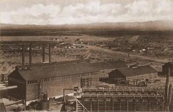
Sasco
A ghost town in Pinal County west of Red Rock, built as a company town around a large smelter serving several mines.

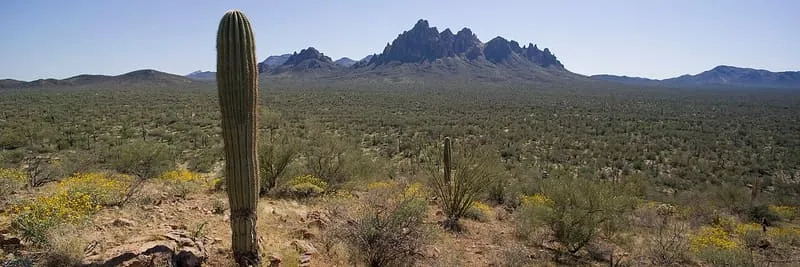
A 129,055-acre Bureau of Land Management monument in the Sonoran Desert, created in 2000 for its ironwood stands and Hohokam sites.
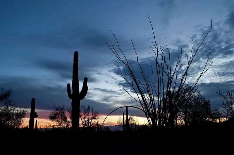
Ironwood Forest National Monument lies in the Sonoran Desert of Arizona. It was created by Presidential Proclamation 7320, signed by Bill Clinton on 9 June 2000, and is administered by the Bureau of Land Management for multiple uses, among them ranching and recreation. The monument covers 129,055 acres, of which 59,573 acres are non-federal and consist of private holdings and Arizona State School Trust land. It holds a substantial concentration of ironwood (Olneya tesota), from which it takes its name, together with two federally recognised endangered species, one animal and one plant. More than 200 Hohokam archaeological sites have been identified within it, dated between 600 and 1450.
Ironwood Forest National Monument is a national monument near South Central Arizona, in Pima County. It is one of the national monuments in this database, and appears in the statewide ranking of Arizona attractions.
No official visitor count is published for Ironwood Forest National Monument, so its score rests on public interest and tourism significance, and is capped below the level a measured attraction can reach. That is why the medium confidence above is not higher. The weighting is explained in full on the methodology page, and every axis is broken out under Facts and sources at the foot of this page.
Note on the data: No official visitor count is published for this attraction.
Record last verified 2026-08-12.
9.1 miles away
15 miles away
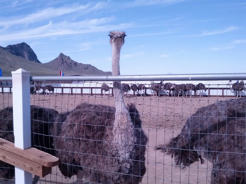
16 miles away
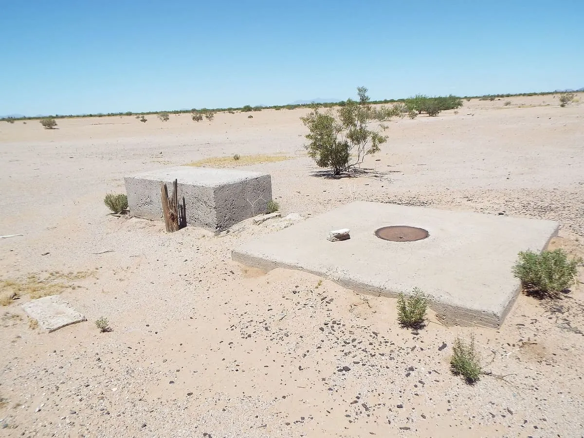
24 miles away
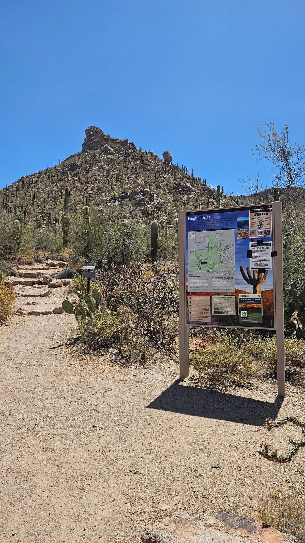
25 miles away