Sasco
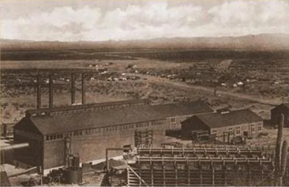
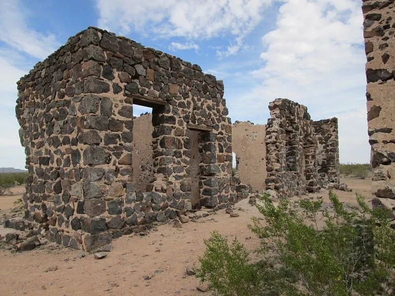
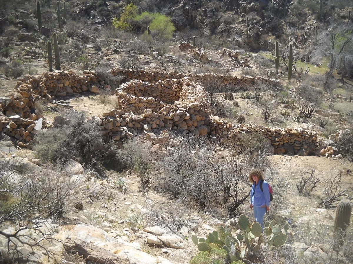
Sasco is a ghost town located in Pinal County, Arizona, west of Red Rock. Sasco, which is an acronym for the Southern Arizona Smelter Company, was a company town with a large smelter that served several mines. Once an impressive and little-known ghost town, today Sasco is a common sporting destination with shotgun shells, airsoft bb's, paintball splatter, and litter in the area.

Facts and sources
Place
- Category
- Historic Site
- Destination
- Picacho
- County
- Pinal County
- State
- Arizona
Visitation
- Annual visits
- Not published
Ranking
- Overall score
- 39.4 / 100
- Visitation score
- No published count
- Popularity score
- 17.2
- Significance score
- 58.0
- Confidence
- medium
Visiting
- Coordinates
- 32.5350, -111.4394
- Last verified
- 2026-08-12
Where it is
Sasco is a historic site near Picacho, in Pinal County. It is one of the historic sites in this database, and appears in the statewide ranking of Arizona attractions.
How this ranking was reached
This place scores 39.4 out of 100, at medium confidence. No official visitor count is published for it, so the score rests on public interest and tourism significance, and is capped below the level a measured attraction can reach. The weighting is explained in full on the methodology page.
Note on the data: No official visitor count is published for this attraction.
Sources
- Description: Wikipedia(opens in a new tab), used under CC BY-SA 4.0(opens in a new tab)
- Public interest: Wikimedia pageviews (en.wikipedia, human traffic), 2024
- Coordinates and designations: Wikidata(opens in a new tab)
- County: U.S. Census geography via FCC Area API, resolved from coordinates
Record last verified 2026-08-12.
Nearby attractions

7.8 miles away
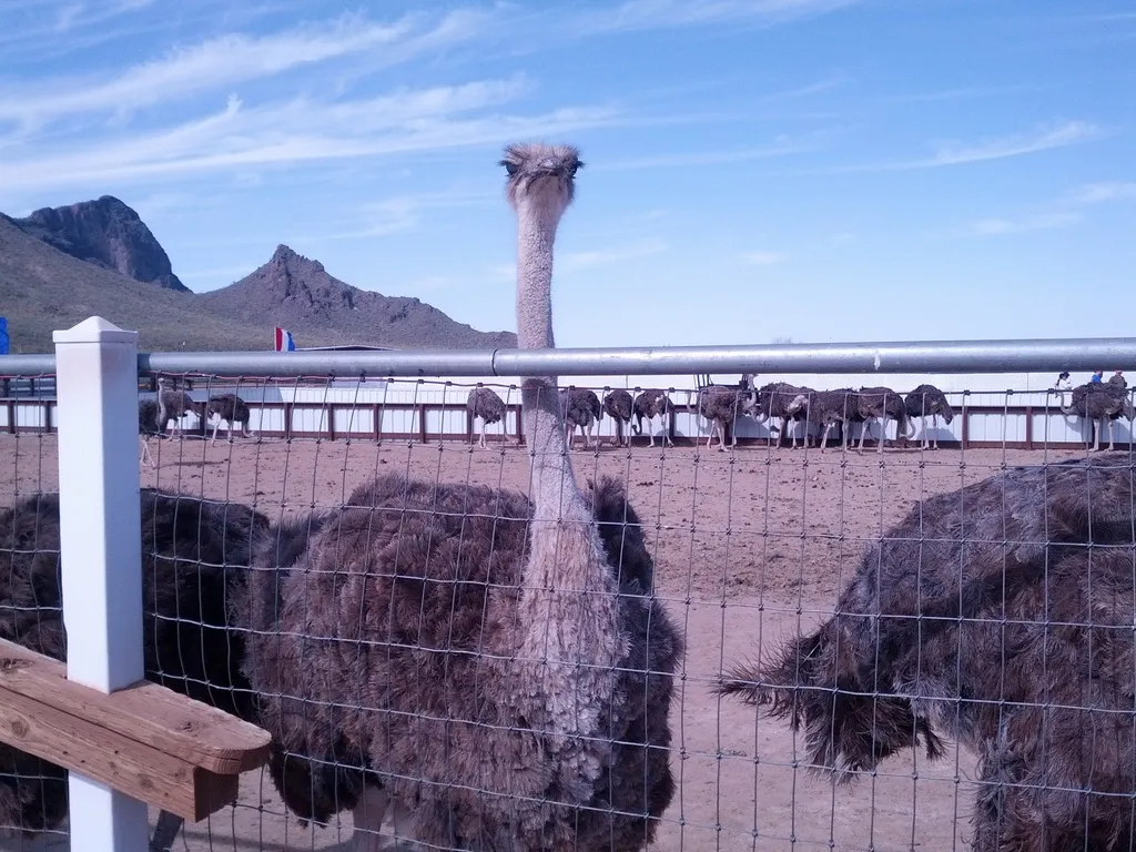
Rooster Cogburn Ostrich Ranch
Long-standing roadside attraction where you can walk up and feed various critters such as ostriches, lorikeet, deer, tortoises and stingrays. There is also shopping for ostrich products. Monster truck tours of the ranch are held on weekends and holidays.
9.1 miles away
Ironwood Forest National Monument
Established as a National Monument in 2000, the monument is managed by the Bureau of Land Management (BLM) for multiple uses, including ranching and recreational use. It is noted for significant concentrations of Ironwood trees, and for over 200 pre-Columbian archeological sites.23 miles away
Valley View Overlook Trail
A short trail ending at views of Avra Valley and Picacho Peak.
23 miles away
Tortolita Mountains
The Tortolita Mountains are a modest mountain range northwest of Tucson, Arizona, USA, at the northern boundaries of Oro Valley and Marana, two suburbs of Tucson. Peak elevation is 4,696 feet (1,431 m). Much of the mountain range is protected within the Tortolita Mountain Park, established in 1986 by Pima County, which plans to expand its territory.