7.0 miles away
Casa Grande Main Street District
Downtown Casa Grande's historic district, home to a number of buildings on the National Register of Historic Places.
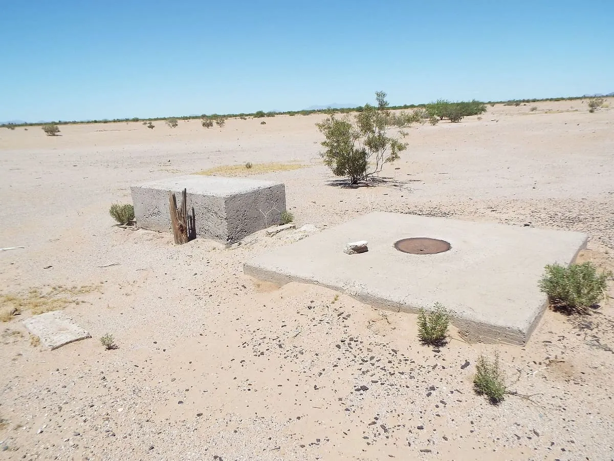
272 concrete survey markers on a 16-mile grid around Casa Grande, maintained from 1959 to 1972 and commonly but wrongly linked to the Corona satellites.
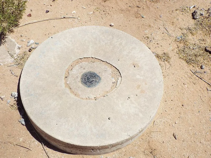
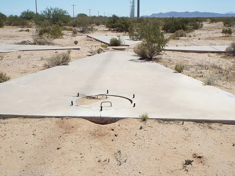
The Casa Grande Photogrammetric Test Range was a test range built to measure the dynamic performance of aerial survey cameras. It consisted of 272 concrete markers set into the ground in and around Casa Grande, Arizona, laid out on a square grid 16 miles on a side and maintained from 1959 to 1972. The markers are commonly said to have supported camera calibration for the Corona spy satellite programme run by the US Central Intelligence Agency; they were in fact references for aerial surveys by photogrammetry. Some of the original markers survive and can be found on satellite maps and by inspection on the ground.
Casa Grande Photogrammetric Test Range is a landmark near Casa Grande, in Pinal County. It is one of the landmarks in this database, and appears in the statewide ranking of Arizona attractions.
No official visitor count is published for Casa Grande Photogrammetric Test Range, so its score rests on public interest and tourism significance, and is capped below the level a measured attraction can reach. That is why the medium confidence above is not higher. The weighting is explained in full on the methodology page, and every axis is broken out under Facts and sources at the foot of this page.
Note on the data: No official visitor count is published for this attraction.
Record last verified 2026-08-12.
7.0 miles away
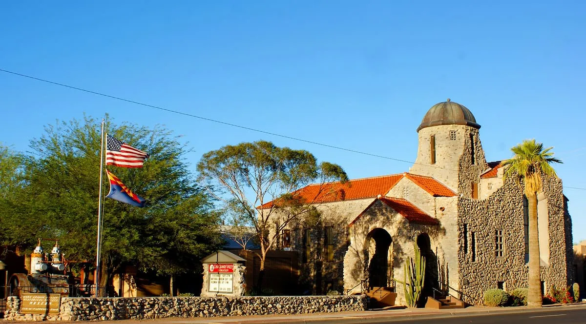
19 miles away
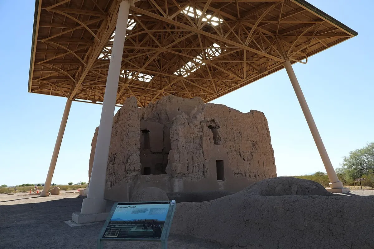
19 miles away
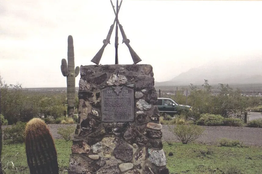
21 miles away
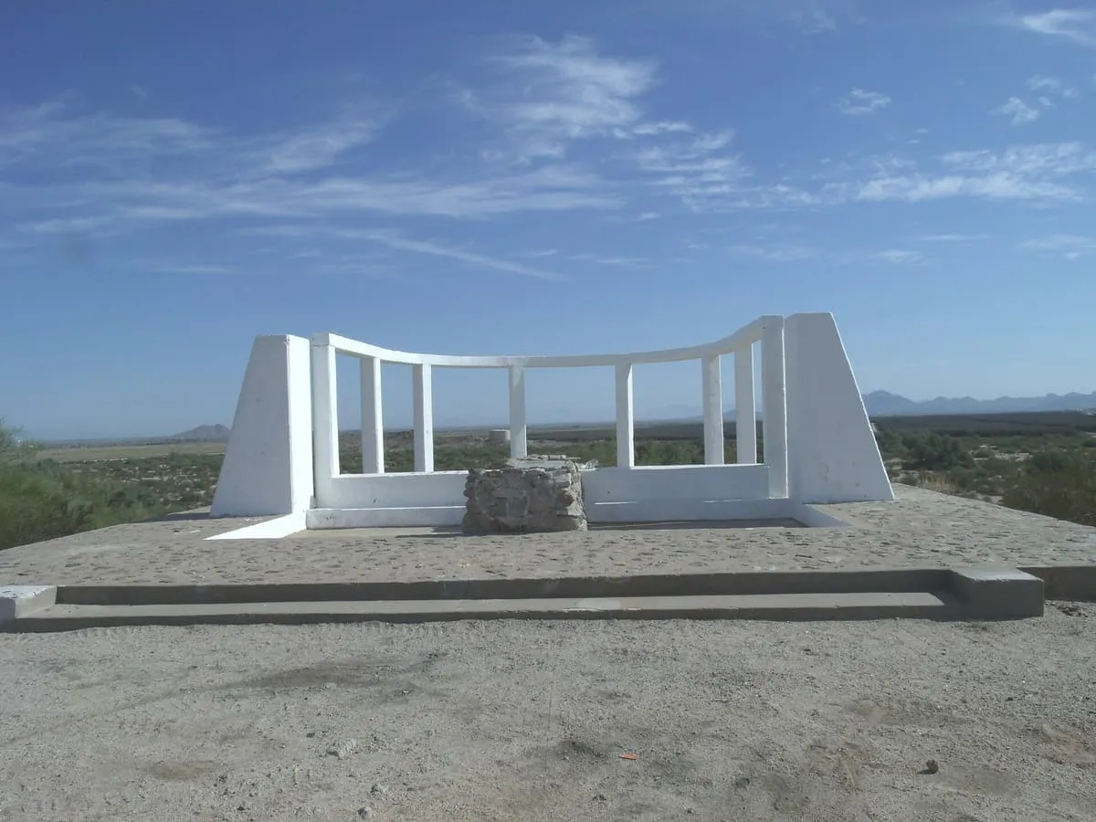
22 miles away