7.5 miles away
Telegraph Pass Trail
Telegraph Pass Trail, in Yuma, Yuma County, Arizona, is a 4.3-mile hiking route with views from the top of the pass.
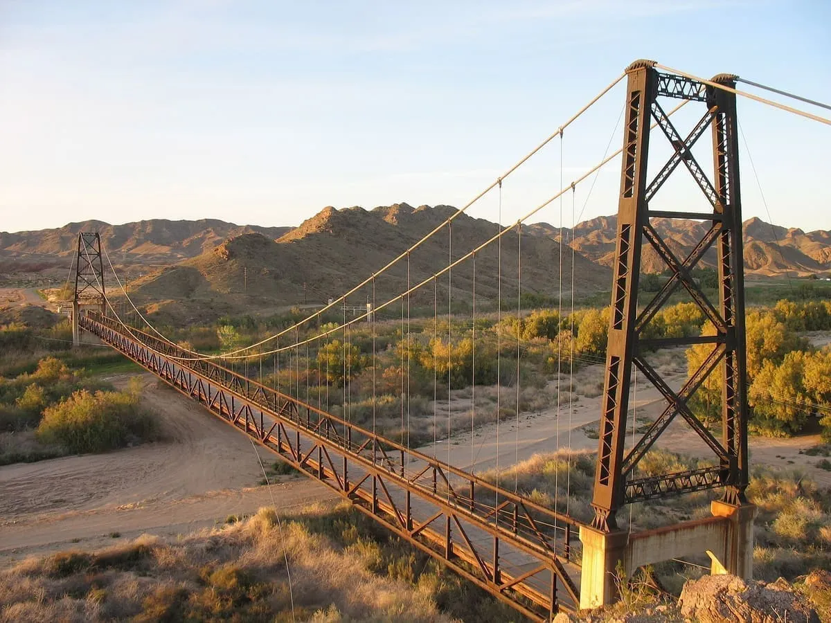
A 1929 suspension bridge over the Gila River near Yuma, 1,184 feet long and replaced in 1968 when the river was rerouted.
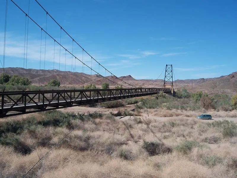
The McPhaul Suspension Bridge, sometimes known as Yuma's Bridge to Nowhere, is a suspension bridge over the Gila River in Arizona, listed on the National Register of Historic Places. It was built in 1929 to carry a section of Arizona Route 95, later US 95, and was named after Henry Harrison McPhaul, a Yuma resident. The bridge is 1,184 feet long with a deck 16 feet wide, too narrow for a United States numbered highway even when it was built, the system then requiring two lanes of 9 feet. Its main span is a 798-foot Warren-type pony truss suspended by cables from rocker-type towers, the two steel cables being 5.75 inches in diameter and 1,300.7 feet long; there are two approach spans of 57 and 114 feet and approach roadways of 140 and 75 feet. The bridge was deemed insufficient for modern transport and replaced in 1968, when a dam and a new bridge were built and the river was rerouted.
McPhaul Suspension Bridge is a historic site near Yuma, in Yuma County. It is one of the historic sites in this database, and appears in the statewide ranking of Arizona attractions.
No official visitor count is published for McPhaul Suspension Bridge, so its score rests on public interest and tourism significance, and is capped below the level a measured attraction can reach. That is why the medium confidence above is not higher. The weighting is explained in full on the methodology page, and every axis is broken out under Facts and sources at the foot of this page.
Note on the data: No official visitor count is published for this attraction.
Record last verified 2026-08-12.
7.5 miles away
11 miles away
12 miles away
12 miles away
12 miles away
12 miles away