Home Counties Yuma County 18 attractions
1 Score 52.7 out of 100 52.7
Historic Site
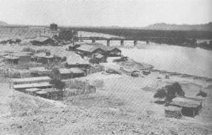
A crossing of the Colorado River between Arizona and California, used in the Spanish colonial period and after.
2 Score 48.8 out of 100 48.8
Natural Landmark
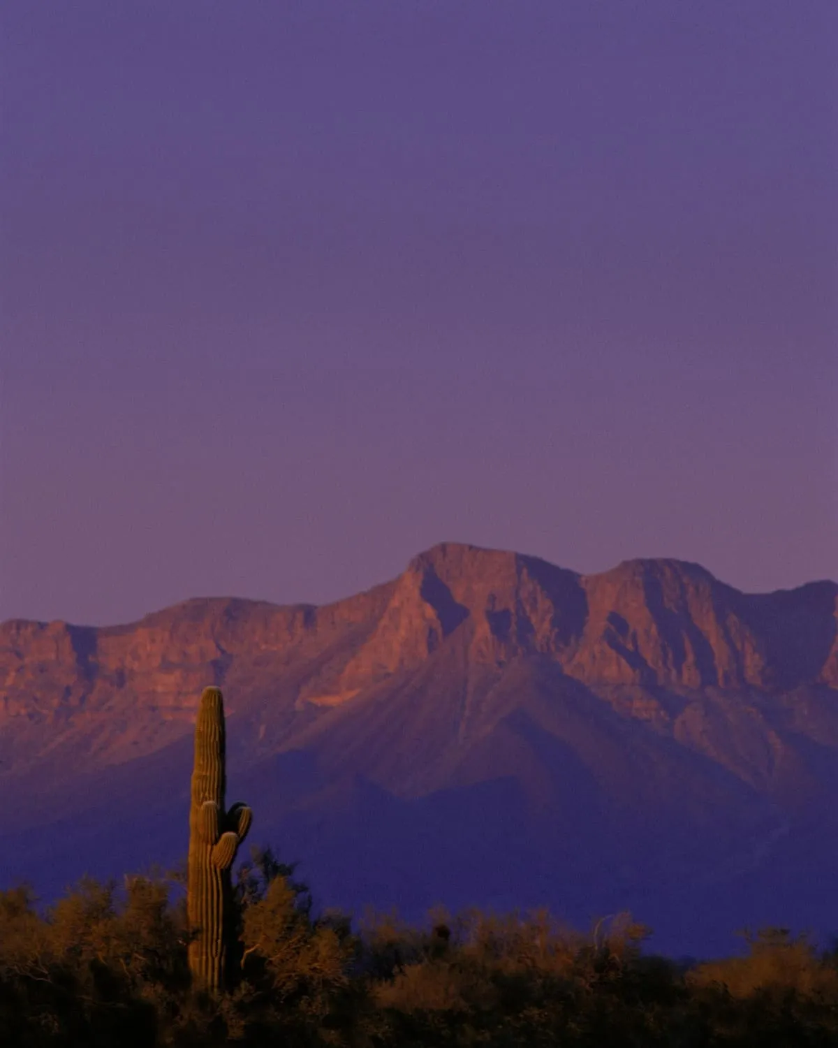
A low-lying section of the Sonoran Desert receiving under 8 inches of rain a year, among the harshest deserts in North America.
3 Score 47.4 out of 100 47.4
Natural Landmark
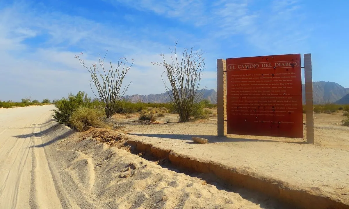
A 250-mile historic road across the Sonoran Desert in Pima and Yuma counties, listed on the National Register in 1978.
4 Score 45.4 out of 100 45.4
Historic Site
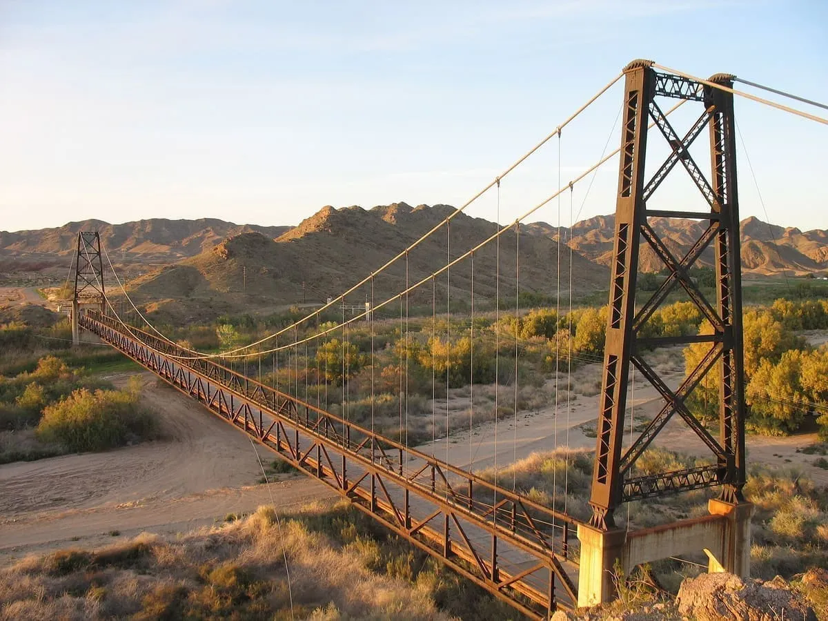
A 1929 suspension bridge over the Gila River near Yuma, 1,184 feet long and replaced in 1968 when the river was rerouted.
5 Score 45.3 out of 100 45.3
Historic Site
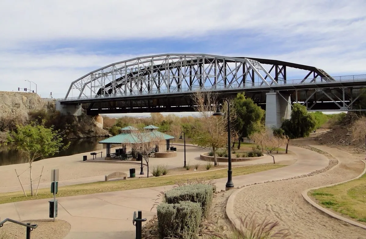
A 1915 through truss bridge at Yuma, the first highway crossing of the lower Colorado and the only Pennsylvania truss in Arizona.
6 Score 43.0 out of 100 43.0
State Historic Park
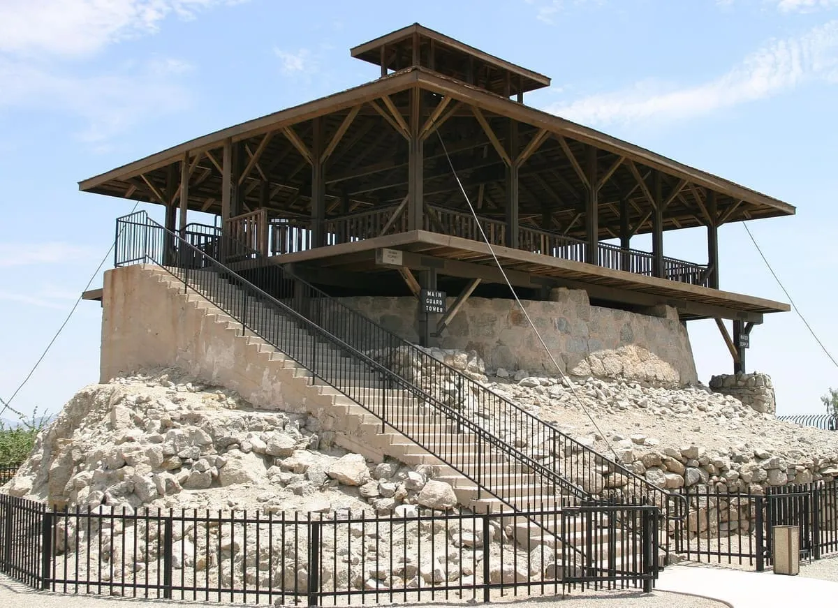
A prison that took inmates from 1876 to 1909, now operated as a museum by Arizona State Parks in Yuma.
7 Score 42.7 out of 100 42.7
Historic Site
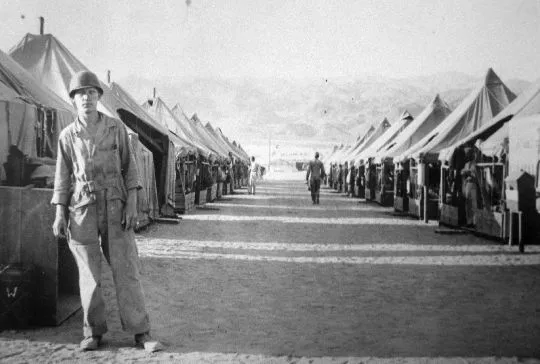
A Desert Training Center subcamp south of Hyder, built in August 1942 and closed in May 1944, where two infantry divisions trained.
8 Score 42.4 out of 100 42.4
Natural Landmark
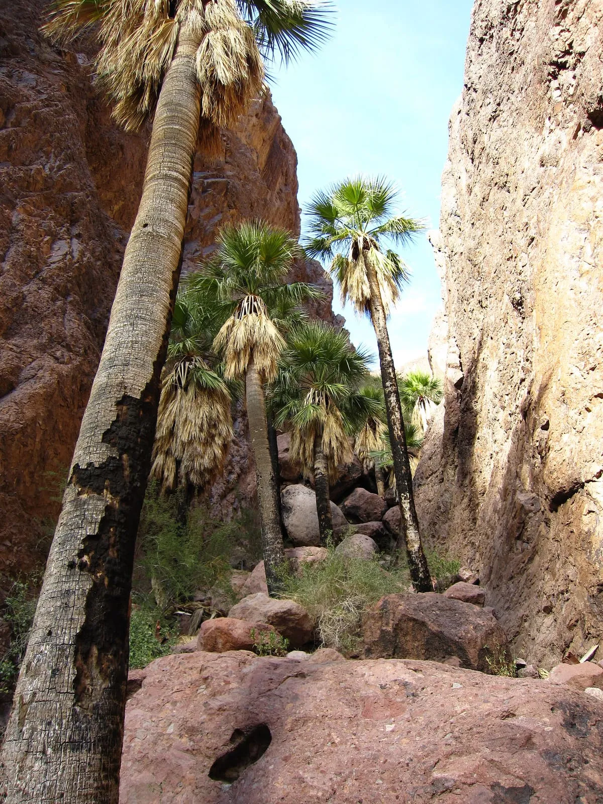
A refuge of over 665,400 acres north-east of Yuma, established in 1939 for desert bighorn sheep and holding the Kofa Wilderness.
9 Score 40.4 out of 100 40.4
Natural Landmark
An 860,010-acre refuge along the Mexican border, established in 1939 for desert bighorn sheep and the third largest in the lower 48 states.
10 Score 39.7 out of 100 39.7
Natural Landmark
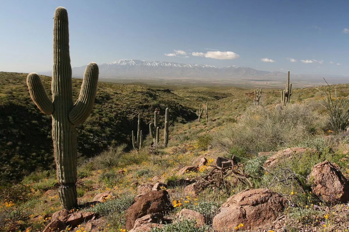
A fault-blocked range 26 miles long east of Yuma, in the Sonoran Desert, rising to 3,156 feet at Sheep Peak.
11 Score 38.0 out of 100 38.0
Landmark
The last dam on the Colorado River, built in 1950 to divert Mexico's treaty share of the water to the Mexicali Valley.
12 Score 34.8 out of 100 34.8
Landmark
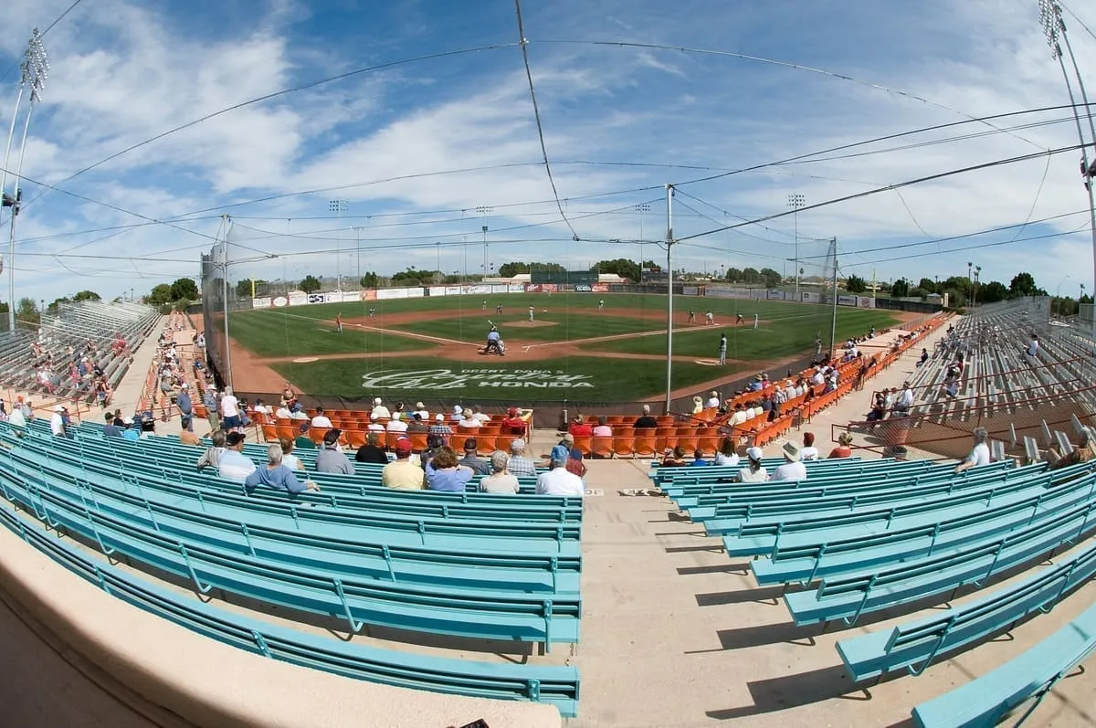
A Yuma stadium built for the 1970 spring training season, home of the San Diego Padres until 1993 and converted for soccer in 2015.
13 Score 25.5 out of 100 25.5
Historic Site
A ghost town near Dateland, once a Southern Pacific Railroad station, now reduced to two standing buildings and foundations.
14 Score 25.5 out of 100 25.5
Natural Landmark
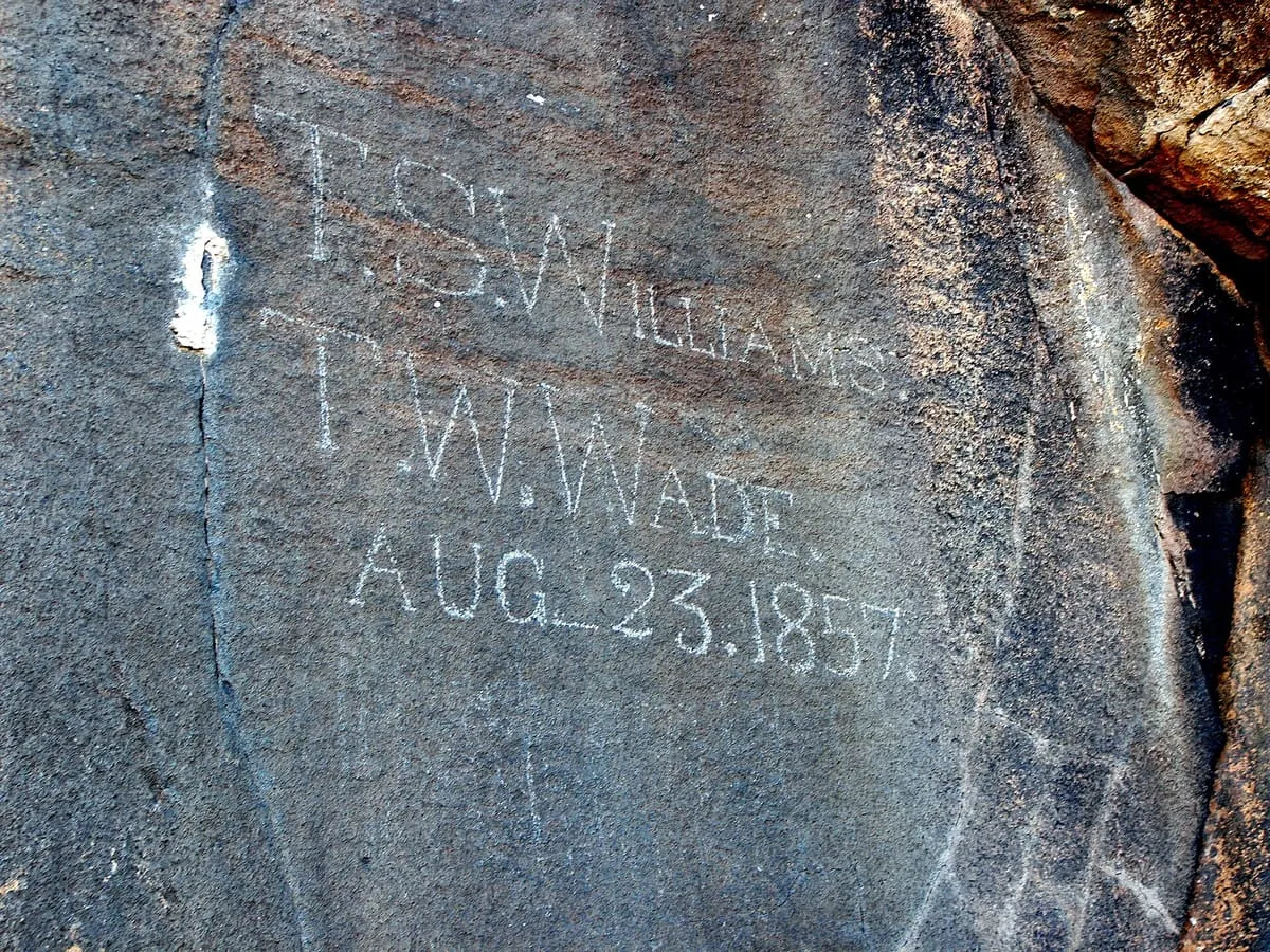
Sears Point, near Dateland, Arizona, has hundreds of petroglyphs on basalt outcrops above the Gila River, managed by the Bureau of Land Management.
15 Score 25.5 out of 100 25.5
Natural Landmark
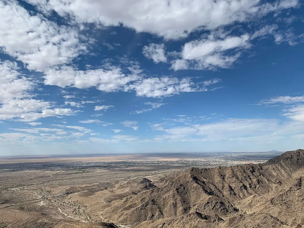
Telegraph Pass Trail, in Yuma, Yuma County, Arizona, is a 4.3-mile hiking route with views from the top of the pass.
16 Score 25.2 out of 100 25.2
State Historic Park
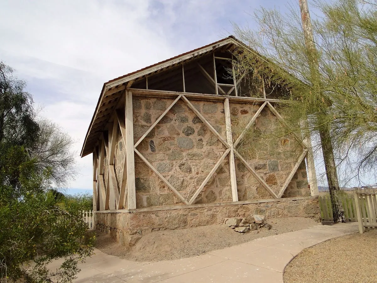
A state park in Yuma preserving the 1870s quartermaster depot that supplied the south-western frontier forts.
17 Score 24.2 out of 100 24.2
Museum
The Castle Dome Mine Museum near Yuma, Arizona, is built around a collection of original and reproduced Old West buildings.
18 Score 24.2 out of 100 24.2
Museum
Sanguinetti House Museum and Gardens, in Yuma, Arizona, is an 1870s adobe house with exhibits on the lower Colorado River region since the 1540s.
Destinations in this county Ajo · Dateland · Quartzsite · Yuma
County is resolved from each attraction's coordinates against U.S. Census geography rather than entered by hand, so a place near a county line is filed where it actually sits.