6.1 miles away
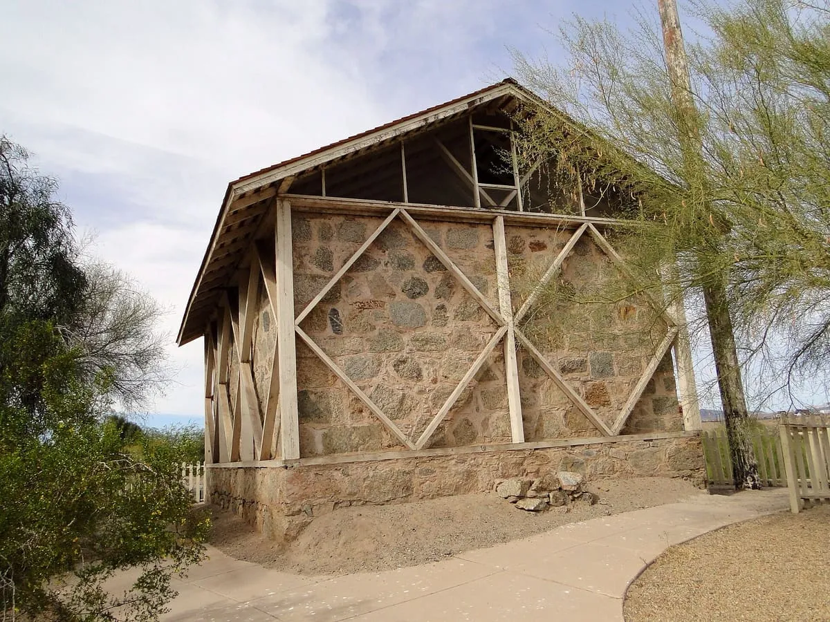
Colorado River State Historic Park
A state park in Yuma preserving the 1870s quartermaster depot that supplied the south-western frontier forts.
The last dam on the Colorado River, built in 1950 to divert Mexico's treaty share of the water to the Mexicali Valley.
Morelos Dam was built across the Colorado River in 1950, under a 1944 treaty between the United States and Mexico. It stands about a mile below the point where the California border meets the river, between Los Algodones in Baja California and Yuma County, Arizona. The eastern half of the dam lies in United States territory, but Mexico is responsible for all of its maintenance. The dam allows Mexico to divert its allotted share of the Colorado to croplands in the Mexicali Valley, and it is the final dam on the river. It is operated by the International Boundary and Water Commission. On 23 March 2014 a gate was opened to begin an eight-week release intended to restore desert riparian habitat downstream.
Morelos Dam is a landmark near Yuma, in Yuma County. It is one of the landmarks in this database, and appears in the statewide ranking of Arizona attractions.
No official visitor count is published for Morelos Dam, so its score rests on public interest and tourism significance, and is capped below the level a measured attraction can reach. That is why the medium confidence above is not higher. The weighting is explained in full on the methodology page, and every axis is broken out under Facts and sources at the foot of this page.
Note on the data: No official visitor count is published for this attraction.
Record last verified 2026-08-12.
6.1 miles away
6.1 miles away
6.4 miles away
6.7 miles away
6.7 miles away
6.8 miles away