1.6 miles away
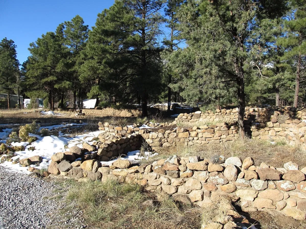
Elden Pueblo Historic Site
A Sinagua archaeological site in Flagstaff with an interpretive trail, managed by the Coconino National Forest Service for education programs.
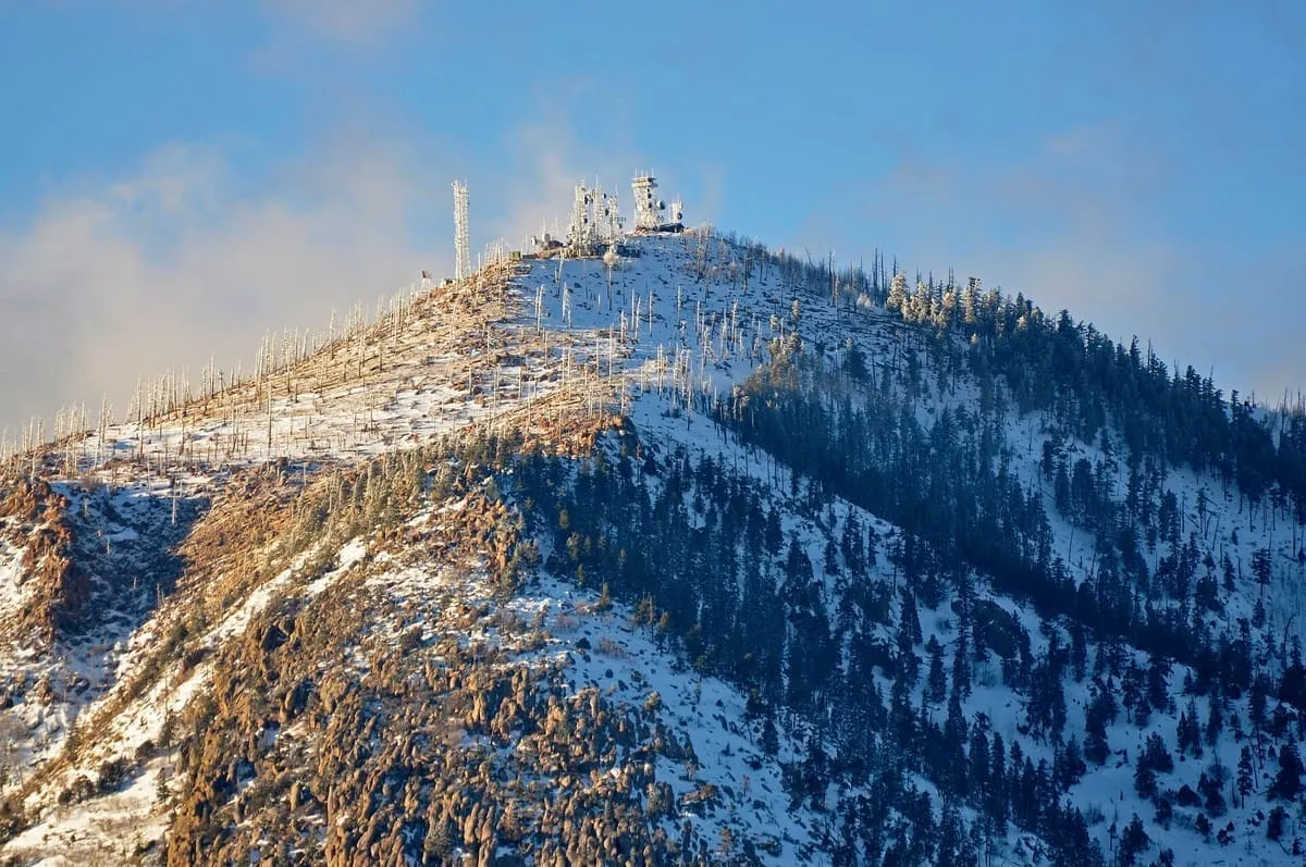
A dormant lava dome rising to 9,301 feet above Flagstaff, crossed by Coconino National Forest trails including the Elden Lookout Trail.
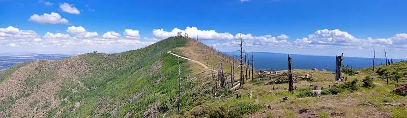
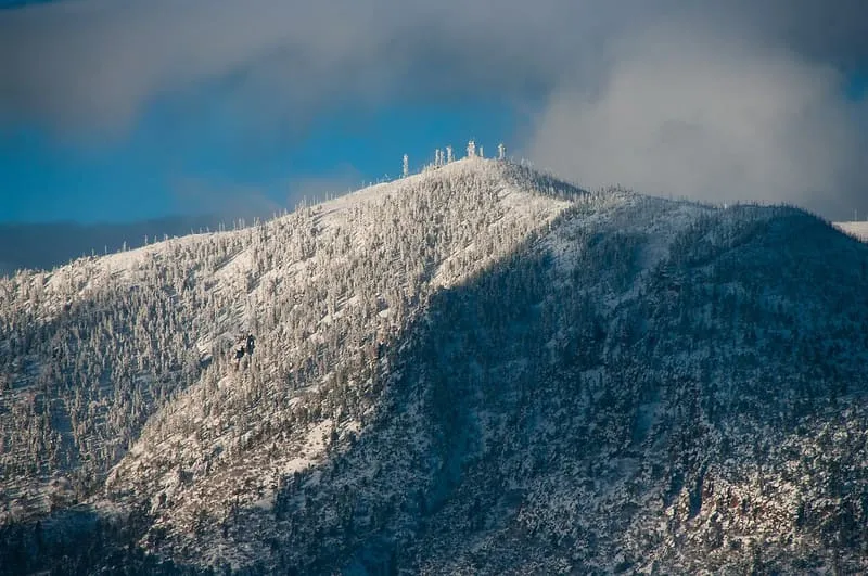
Mount Elden, also called Elden Mountain and known in Hopi as Hovi'itstuyqa, is a lava dome in Coconino County, Arizona, north-east of Flagstaff. Its exposed, rocky slopes rise steeply by nearly 2,400 feet to an elevation of 9,301 feet and are visible from almost any point in the city. The mountain is named after John Elden, one of the region's earliest Anglo settlers, who established a homestead on its lower slopes and grazed sheep on the grasslands below in the late nineteenth century. It is one of six hundred volcanoes in the San Francisco volcanic field, and is dormant, with eruption in the near future held to be extremely unlikely. The Radio Fire, a human-caused wildfire, burned 4,600 acres in 1977 and destroyed much of the vegetation on the southern and south-eastern slopes. The mountain covers nearly 15 square miles and is crossed by a road and non-motorised trail network within the Coconino National Forest, including the Elden Lookout Trail, which climbs from the base to the lookout tower on the summit.
Mount Elden is a natural landmark near Flagstaff, in Coconino County. It is one of the natural landmarks in this database, and appears in the statewide ranking of Arizona attractions.
No official visitor count is published for Mount Elden, so its score rests on public interest and tourism significance, and is capped below the level a measured attraction can reach. That is why the medium confidence above is not higher. The weighting is explained in full on the methodology page, and every axis is broken out under Facts and sources at the foot of this page.
Note on the data: No official visitor count is published for this attraction.
Record last verified 2026-08-12.
1.6 miles away
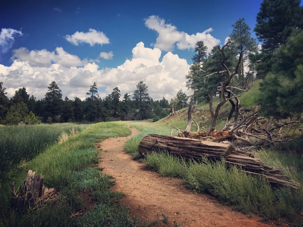
2.6 miles away
3.5 miles away

3.5 miles away
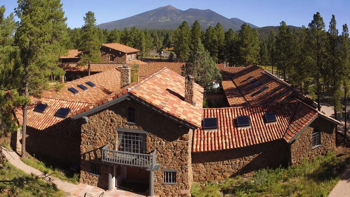
3.7 miles away
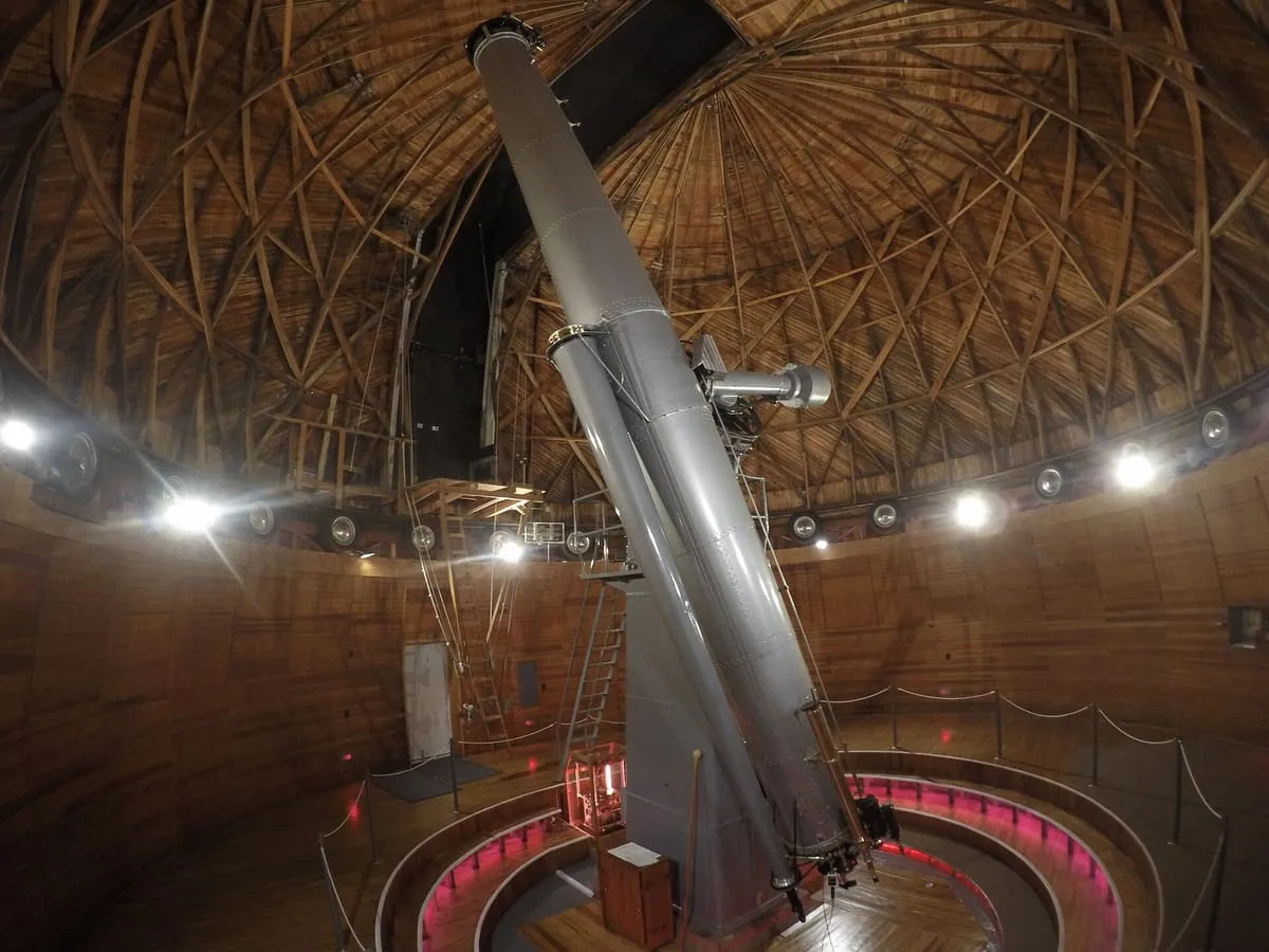
4.7 miles away