5.2 miles away
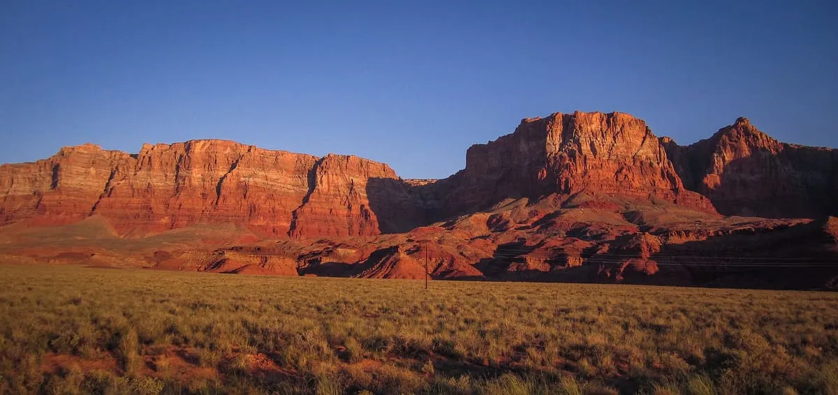
Vermilion Cliffs
The second step of the Grand Staircase of the Colorado Plateau, extending west from near Page across northern Arizona and southern Utah.
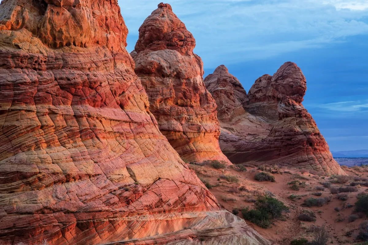
A 112,500-acre wilderness of broad plateaus, tall escarpments and deep canyons on the Colorado Plateau, designated in 1984.
The Paria Canyon-Vermilion Cliffs Wilderness is a 112,500-acre wilderness area in northern Arizona and southern Utah, within the arid Colorado Plateau region. It is composed of broad plateaus, tall escarpments and deep canyons, and the Paria River flows through it before joining the Colorado at Lees Ferry. Congress designated the wilderness in 1984, and in 2000 it was largely incorporated into the Vermilion Cliffs National Monument proclaimed by President Bill Clinton. Both are administered by the Bureau of Land Management. The Colorado Plateau and its river basins are of particular value in chronostratigraphy, because the region exposes miles-thick contiguous rock columns that geologists and palaeobiologists use as reference strata for the geologic record.
Paria Canyon-Vermilion Cliffs Wilderness is a natural landmark near Vermilion Cliffs National Monument, in Coconino County. It is one of the natural landmarks in this database, and appears in the statewide ranking of Arizona attractions.
No official visitor count is published for Paria Canyon-Vermilion Cliffs Wilderness, so its score rests on public interest and tourism significance, and is capped below the level a measured attraction can reach. That is why the medium confidence above is not higher. The weighting is explained in full on the methodology page, and every axis is broken out under Facts and sources at the foot of this page.
Note on the data: No official visitor count is published for this attraction.
Record last verified 2026-08-12.
5.2 miles away
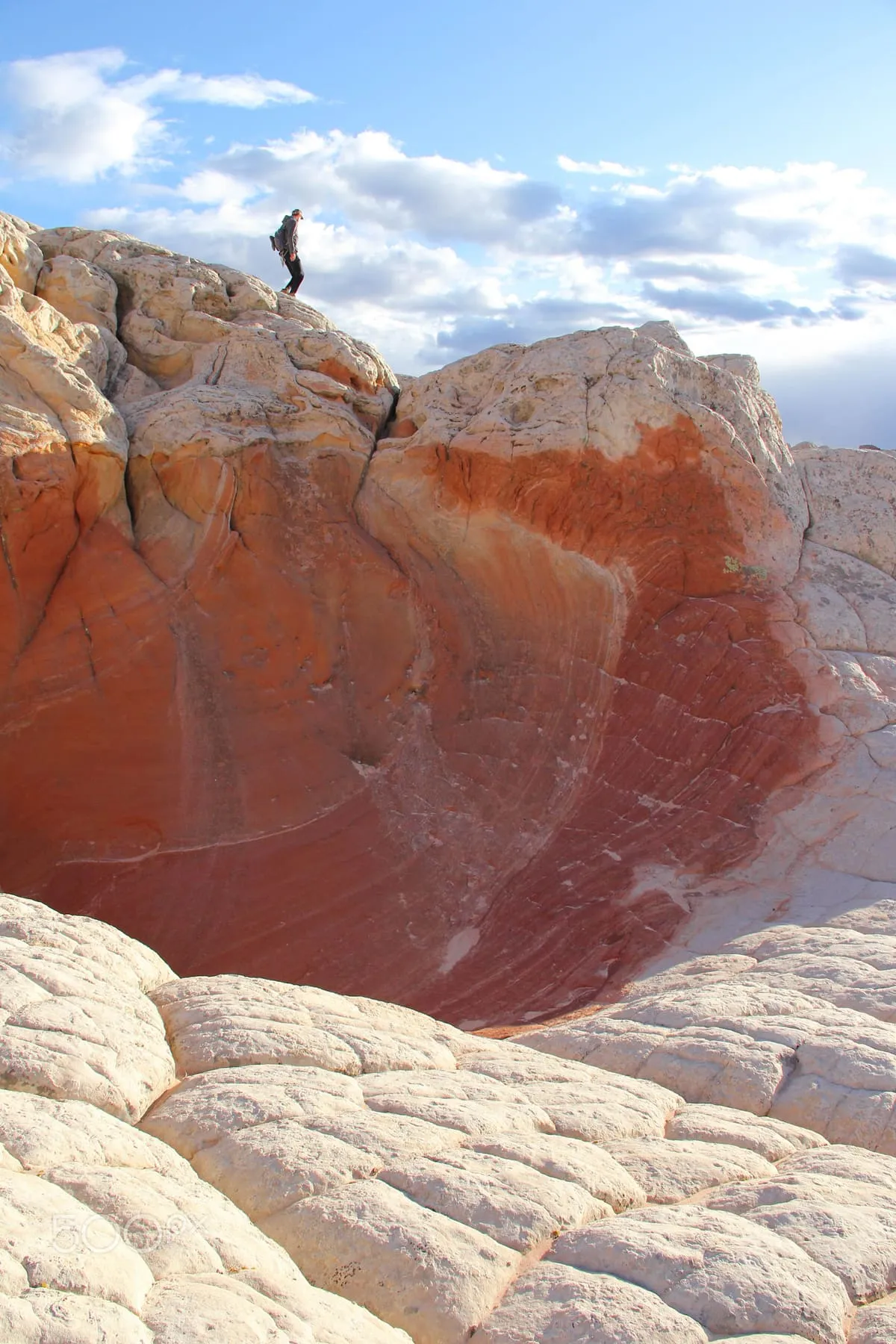
5.7 miles away
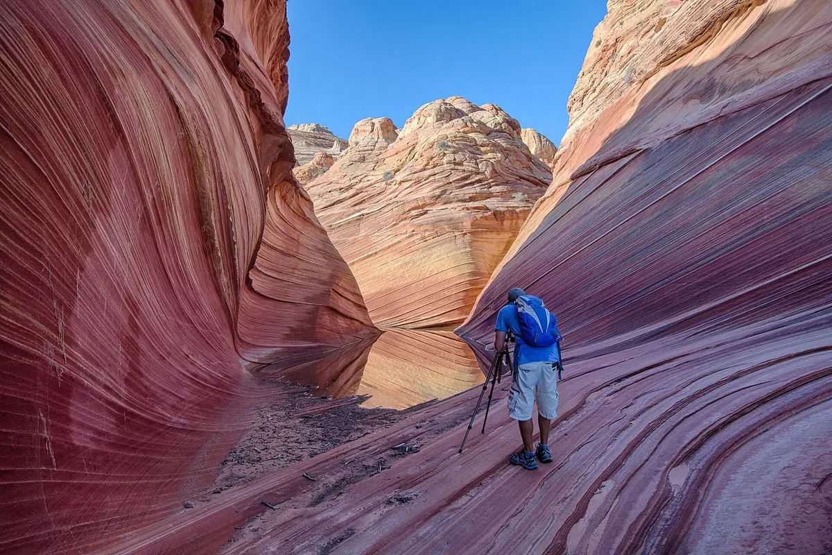
7.8 miles away
11 miles away
11 miles away
11 miles away