3.3 miles away
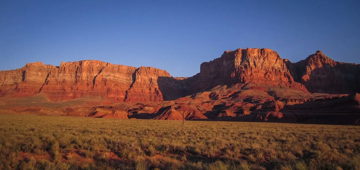
Vermilion Cliffs Trail
Vermilion Cliffs Trail, in Vermilion Cliffs National Monument, Arizona.
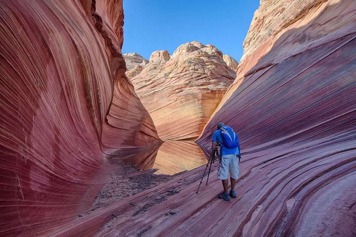
A 293,689-acre monument south of the Utah line protecting the Paria Plateau, Coyote Buttes, Paria Canyon and the Wave.
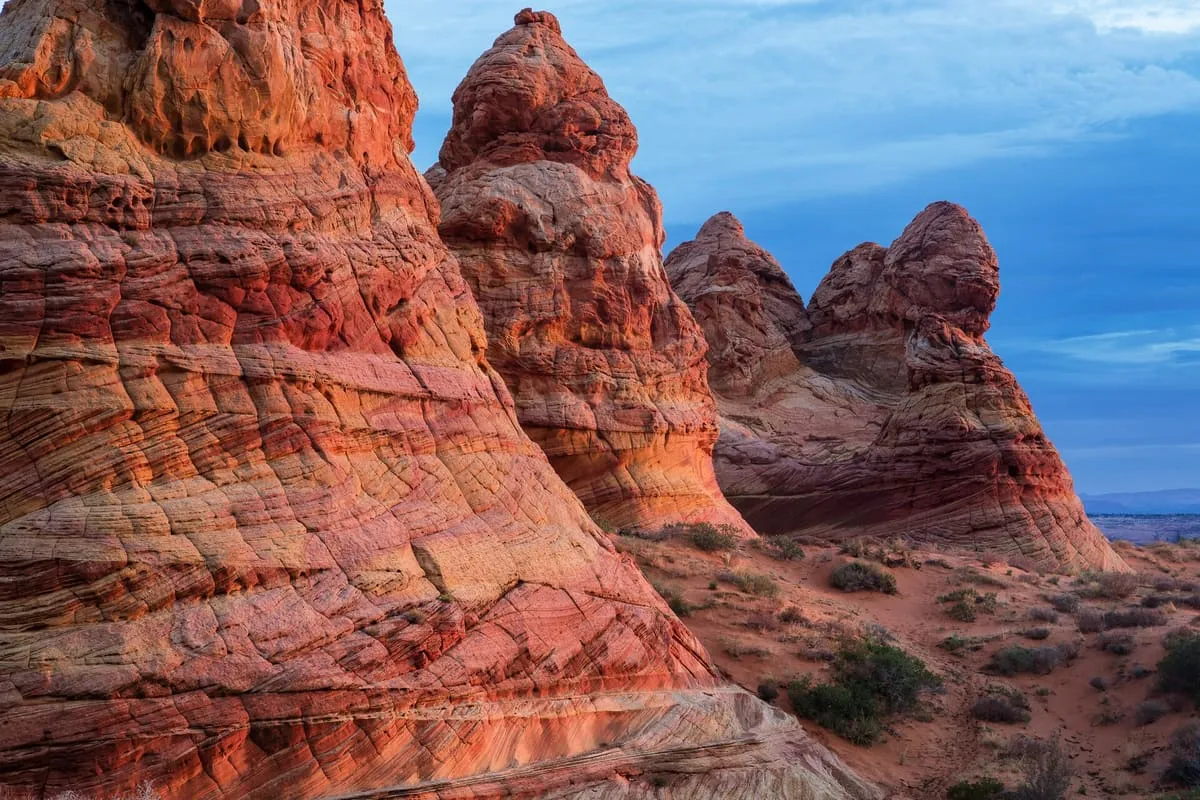
Vermilion Cliffs National Monument is located in northern Coconino County, Arizona, immediately south of the Utah state line. Covering 293,689 acres, it protects the Paria Plateau, the Vermilion Cliffs, Coyote Buttes and Paria Canyon, with elevations ranging from 3,100 to 6,500 feet above sea level. The rock formation known as the Wave lies within the monument, and only twenty people a day are permitted to visit it: ten by online application months in advance, and ten by a lottery held at the Grand Staircase-Escalante Visitor Center in Kanab.
Vermilion Cliffs National Monument is a national monument near Vermilion Cliffs National Monument, in Coconino County. It is one of the national monuments in this database, and appears in the statewide ranking of Arizona attractions.
No official visitor count is published for Vermilion Cliffs National Monument, so its score rests on public interest and tourism significance, and is capped below the level a measured attraction can reach. That is why the medium confidence above is not higher. The weighting is explained in full on the methodology page, and every axis is broken out under Facts and sources at the foot of this page.
Note on the data: No official visitor count is published for this attraction.
Record last verified 2026-08-12.
3.3 miles away
4.2 miles away
5.9 miles away
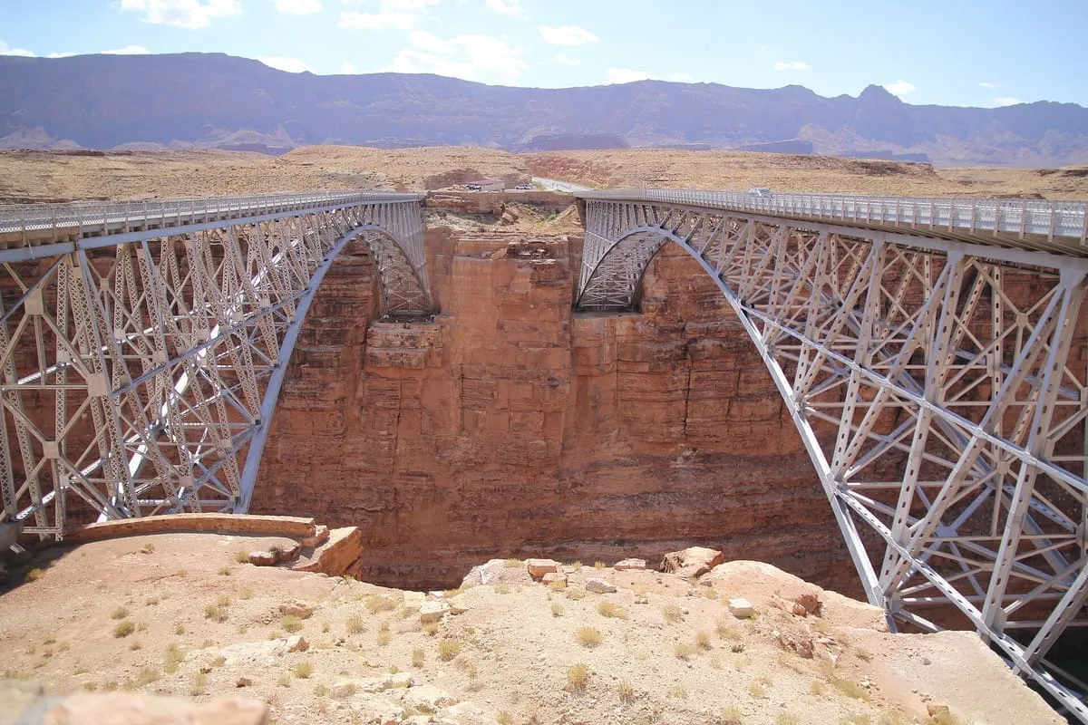
6.1 miles away
7.8 miles away