0.9 miles away
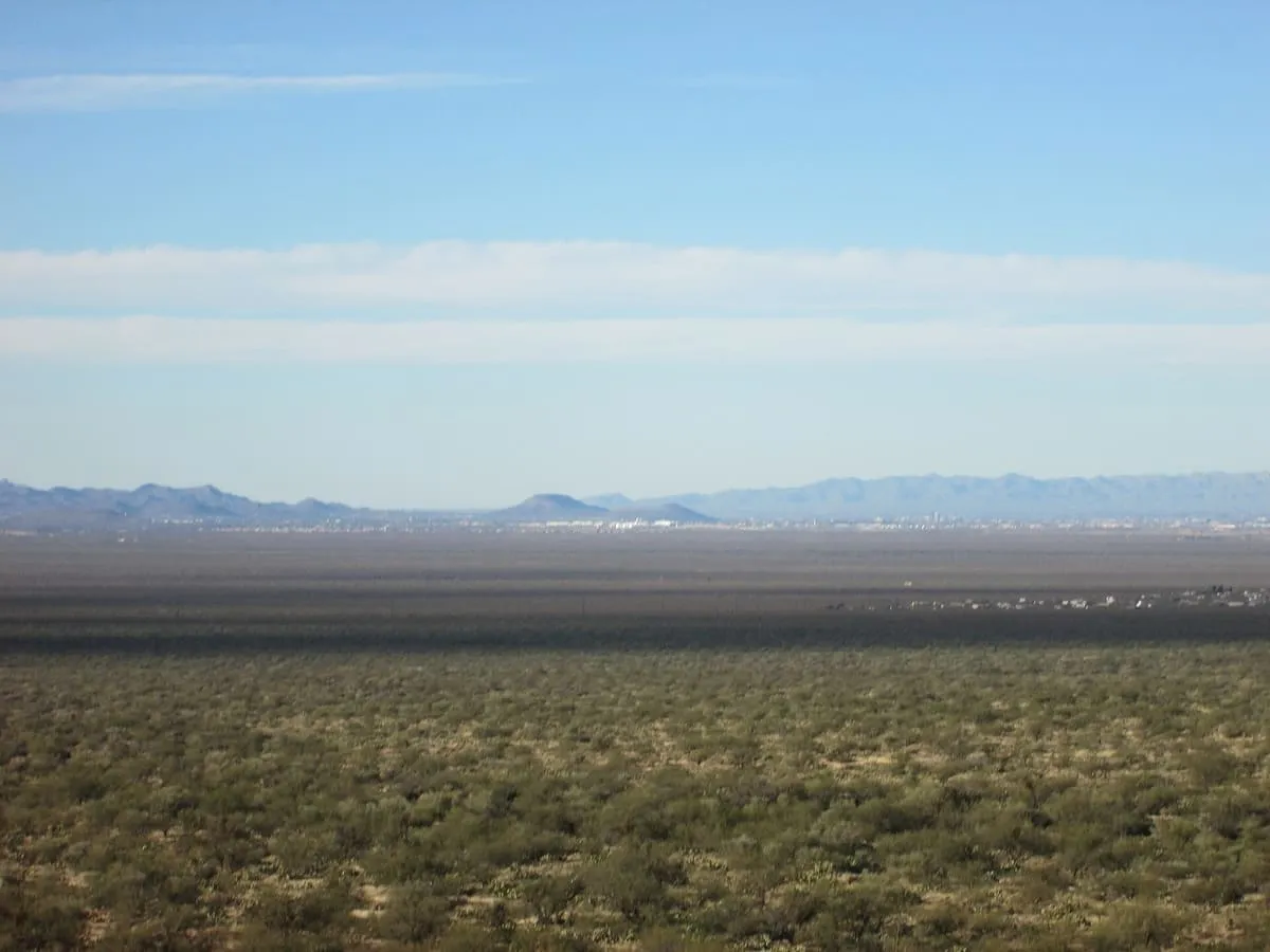
Tumamoc Hill
An 860-acre ecological reserve and National Historic Landmark west of downtown Tucson, established by the Carnegie Institution in 1903.
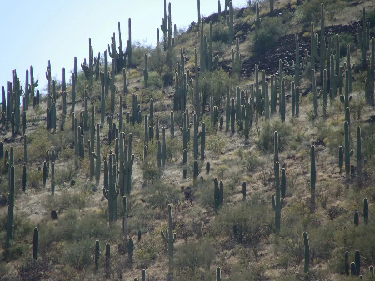
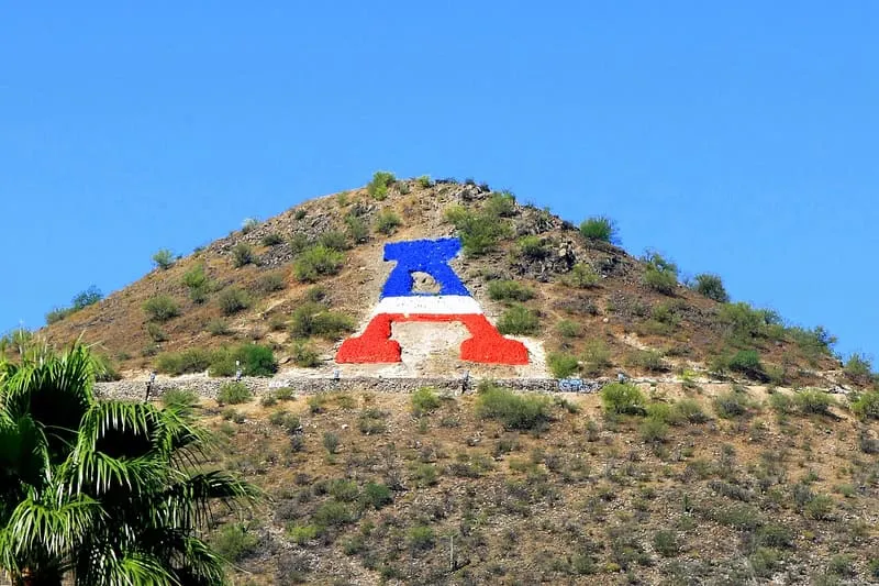
A 2,897-foot peak south-west of downtown Tucson, carrying the University of Arizona's block letter A since the 1910s.
Sentinel Peak is a 2,897-foot peak in the Tucson Mountains, south-west of downtown Tucson. The valley's first inhabitants grew crops at the base of the mountain along the Santa Cruz River, and the name Tucson derives from the O'odham Cuk Ṣon, meaning 'the base [of the mountain] is black'. In the 1910s students of the University of Arizona used local basalt to build a 160-foot block letter A on the peak's east face near the summit, from which it takes its other name, 'A' Mountain. The peak forms part of a 272-acre park, the largest natural resource park in the City of Tucson.
Sentinel Peak is a natural landmark near Tucson, in Pima County. It is one of the natural landmarks in this database, and appears in the statewide ranking of Arizona attractions.
No official visitor count is published for Sentinel Peak, so its score rests on public interest and tourism significance, and is capped below the level a measured attraction can reach. That is why the medium confidence above is not higher. The weighting is explained in full on the methodology page, and every axis is broken out under Facts and sources at the foot of this page.
Note on the data: No official visitor count is published for this attraction.
Record last verified 2026-08-12.
0.9 miles away
1.1 miles away

1.1 miles away
1.2 miles away

1.2 miles away
1.3 miles away