Home Attractions Grand Canyon–Parashant National Monument Snap Point and Canyon Rank in Arizona #505 of 727 ranked Snap Point and Canyon, in Grand Canyon–Parashant National Monument, Arizona.
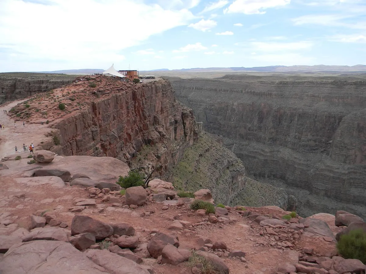
Where it is Snap Point and Canyon is a canyon near Grand Canyon–Parashant National Monument , in Mohave County . It is one of the canyons in this database, and appears in the statewide ranking of Arizona attractions .
How this ranking was reached No official visitor count is published for Snap Point and Canyon, so its score rests on public interest and tourism significance, and is capped below the level a measured attraction can reach. That is why the low confidence above is not higher. The weighting is explained in full on the methodology page , and every axis is broken out under Facts and sources at the foot of this page.
Note on the data: No official visitor count is published for this attraction.
Sources Record last verified 2026-08-12.
Nearby attractions 8.6 miles away
A former bat guano mine in a natural cave in the western Grand Canyon, 800 feet above Lake Mead at river mile 266.
10 miles away
Tassi Ranch, in Grand Canyon–Parashant National Monument, Mohave County, Arizona, is the ruin of a historic ranch.
11 miles away
A ruined former copper mine in Grand Canyon–Parashant National Monument, reached by a rough road that can defeat standard pickup trucks.
11 miles away
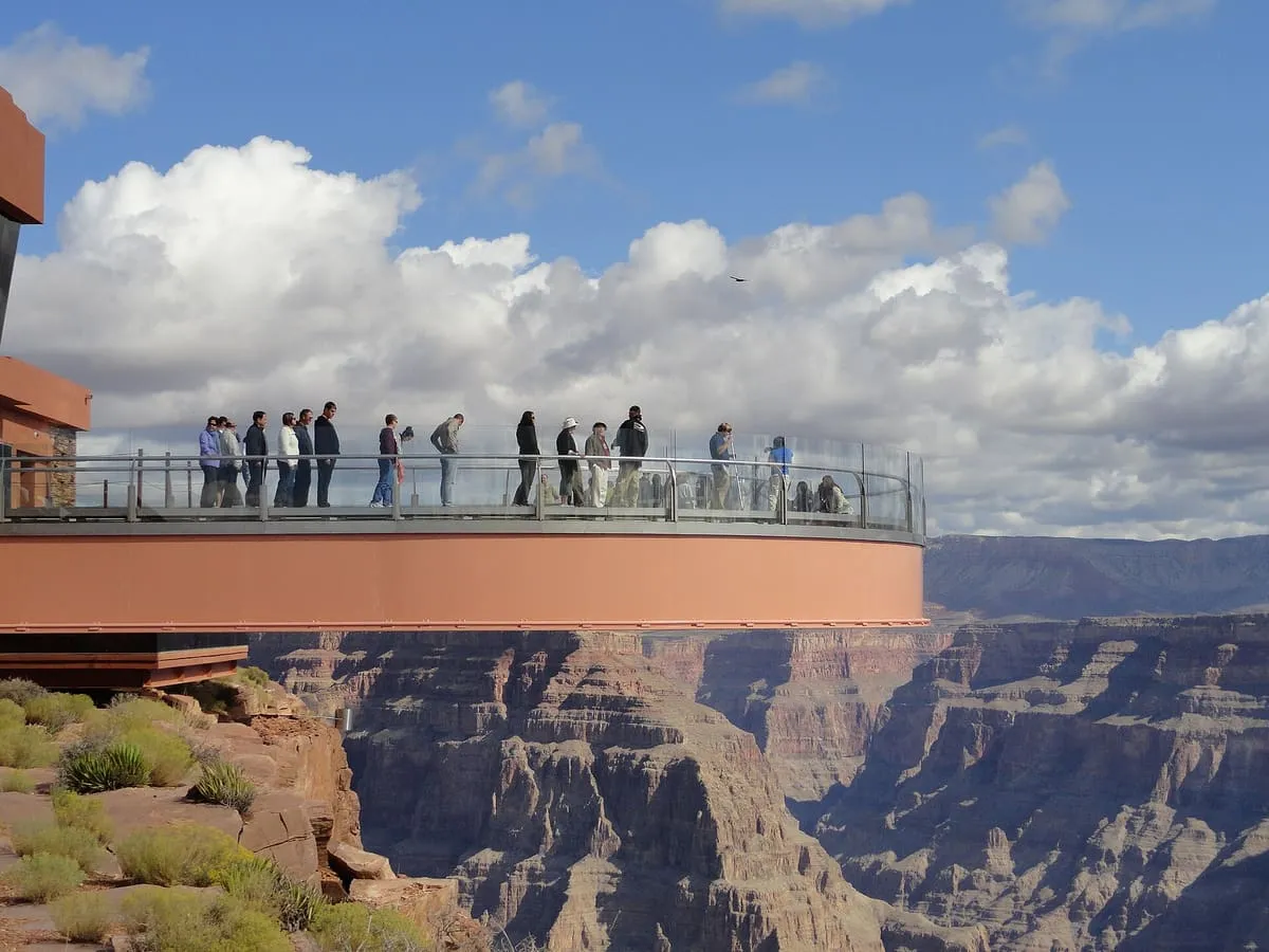
A horseshoe-shaped glass-floored cantilever bridge at Eagle Point in Grand Canyon West, owned by the Hualapai tribe and opened in 2007.
12 miles away
Oak Grove is a ghost town in Mohave County, Arizona, at an estimated elevation of 5,945 feet above sea level.
16 miles away
Twin Point Overlook, on the Grand Canyon–Parashant/Grand Canyon National Park border in Mohave County, Arizona, overlooks the Grand Canyon.
Facts and sources Visitation
Annual visits Not published Ranking
Visitation score No published count
Popularity score No data
Significance score 60.0
Confidence low Visiting
Coordinates 36.1731, -113.8006
Last verified 2026-08-12