Home Counties Mohave County 41 attractions
1 Score 78.2 out of 100 78.2
Landmark
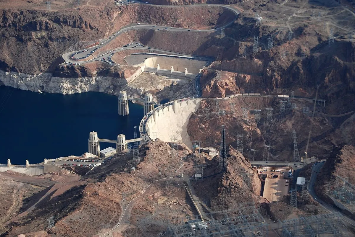
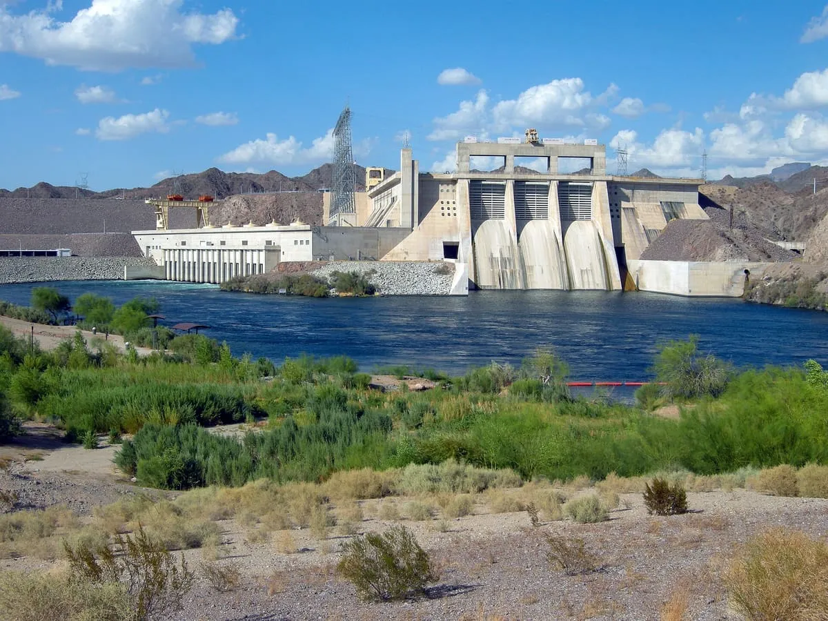
A concrete arch-gravity dam in the Black Canyon of the Colorado River, built between 1931 and 1936.
2 Score 73.3 out of 100 73.3
Historic Site
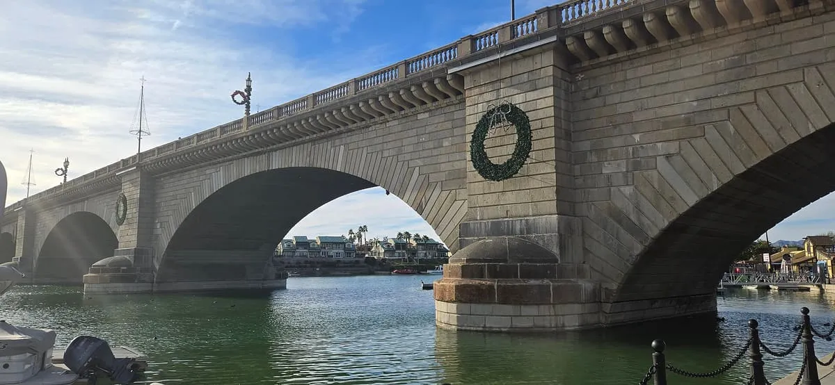
The 1830s Thames bridge bought from the City of London in 1968 and rebuilt at Lake Havasu City in 1971.
3 Score 61.6 out of 100 61.6
Historic Site
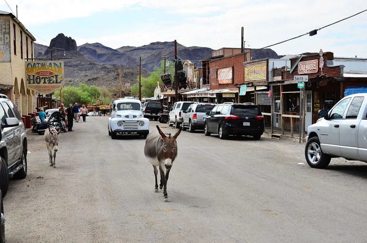
A former gold-mining camp in the Black Mountains that grew past 3,500 people in a year and now numbers 102.
4 Score 54.4 out of 100 54.4
Landmark
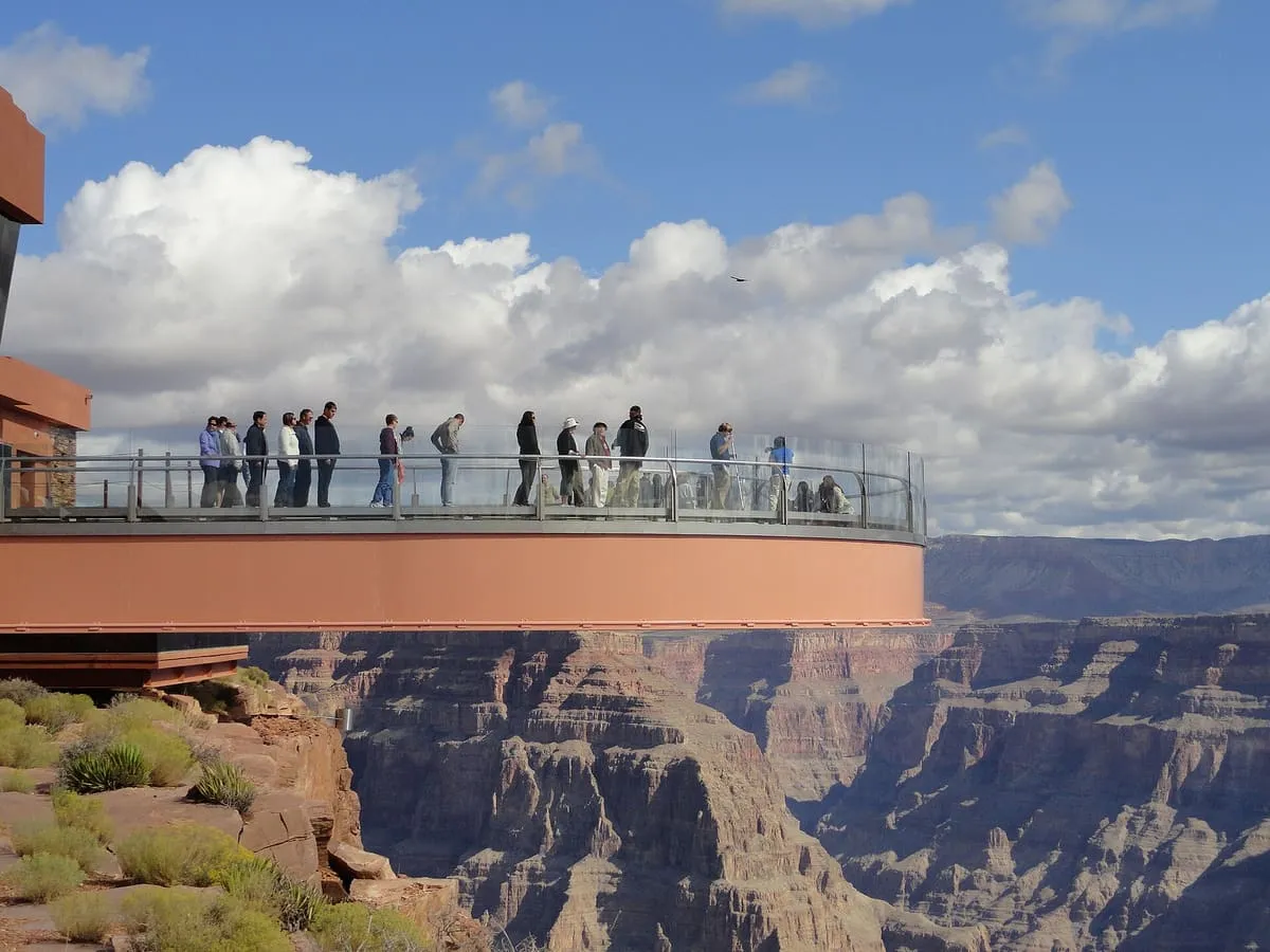
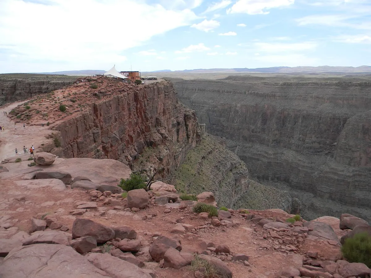
A horseshoe-shaped glass-floored cantilever bridge at Eagle Point in Grand Canyon West, owned by the Hualapai tribe and opened in 2007.
5 Score 50.1 out of 100 50.1
Natural Landmark
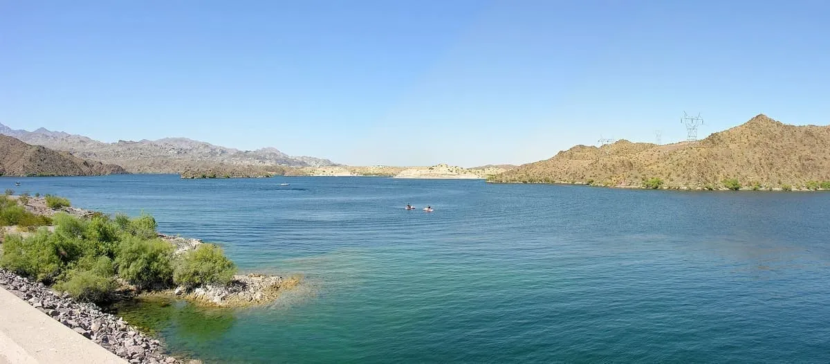
A Colorado River reservoir between Hoover and Davis dams on the Nevada–Arizona border, part of Lake Mead National Recreation Area.
6 Score 49.6 out of 100 49.6
Canyon
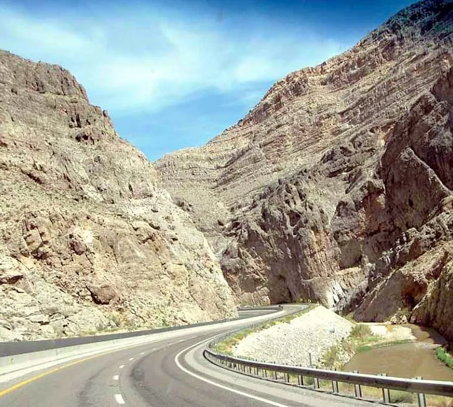
A canyon cut by the Virgin River in north-western Arizona, carrying one of the most expensive sections of Interstate highway ever built.
7 Score 48.5 out of 100 48.5
Historic Site
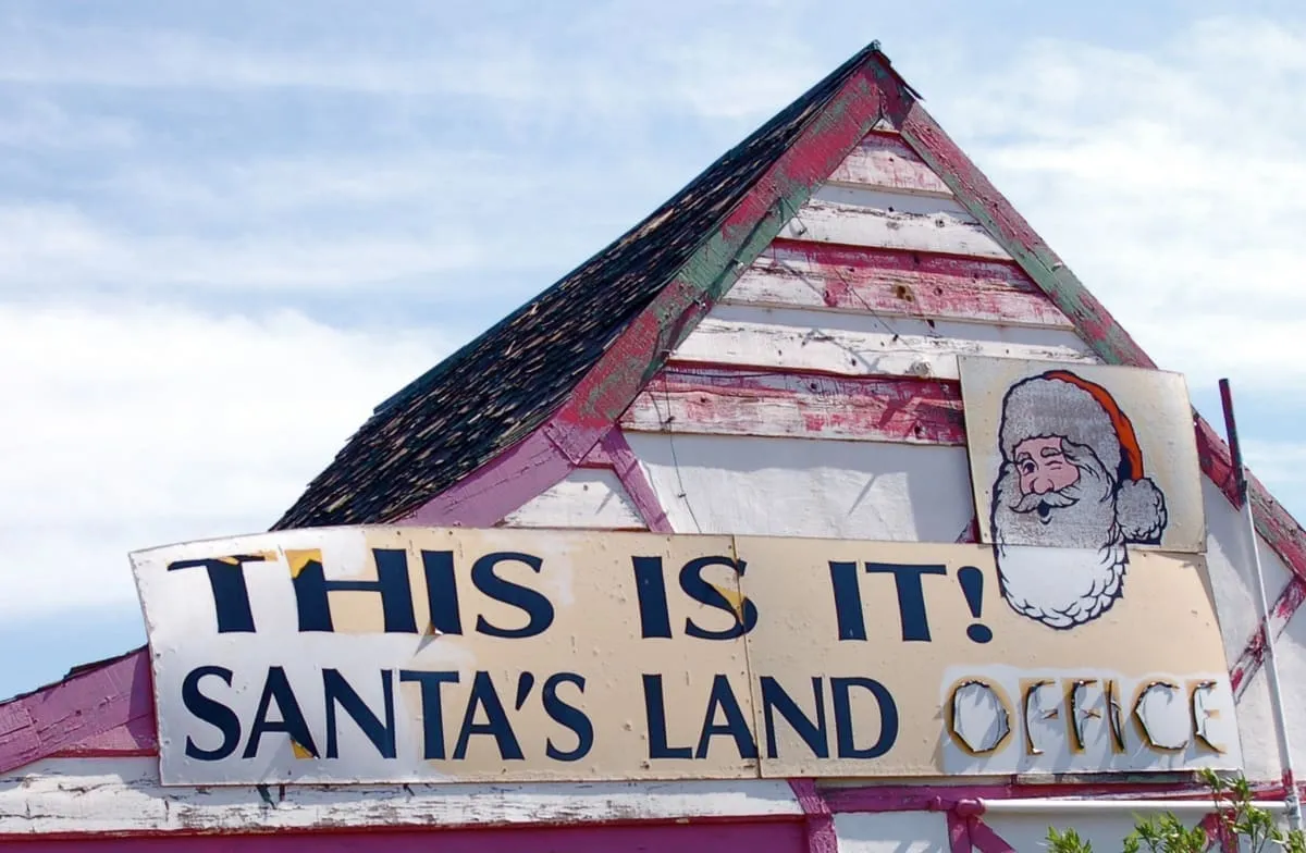
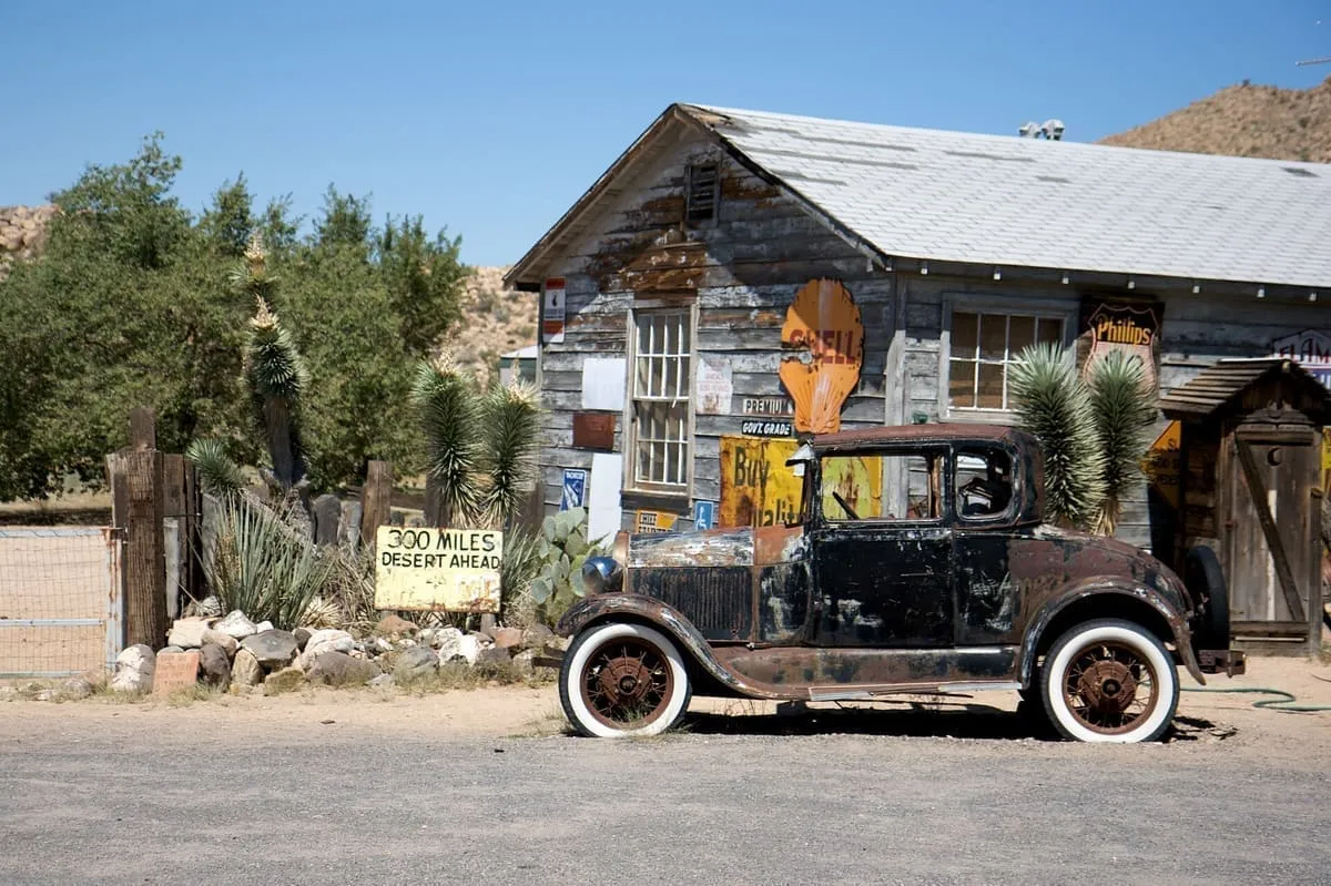
A themed roadside stop founded near Kingman in 1937, closed to business in 1995 and demolished some time in 2021 or 2022.
8 Score 46.8 out of 100 46.8
Canyon
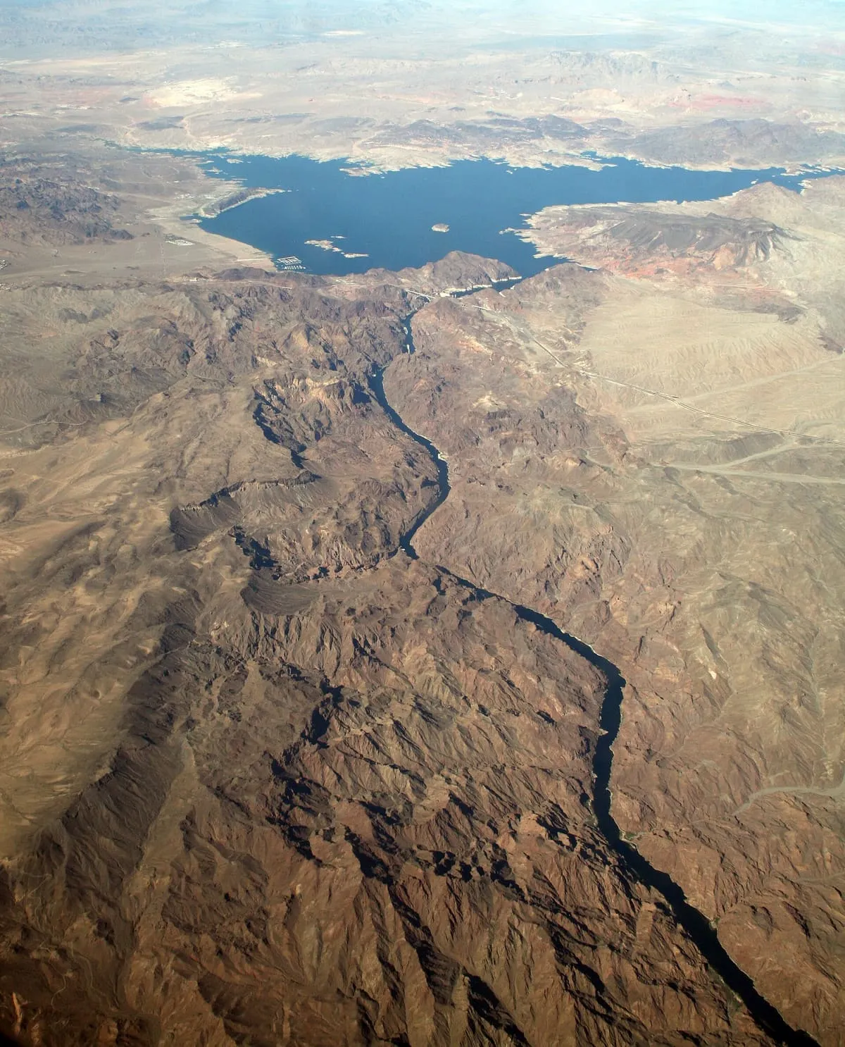
The canyon on the Colorado River where Hoover Dam was built, named for the black volcanic rock exposed along its walls.
9 Score 46.5 out of 100 46.5
State Park
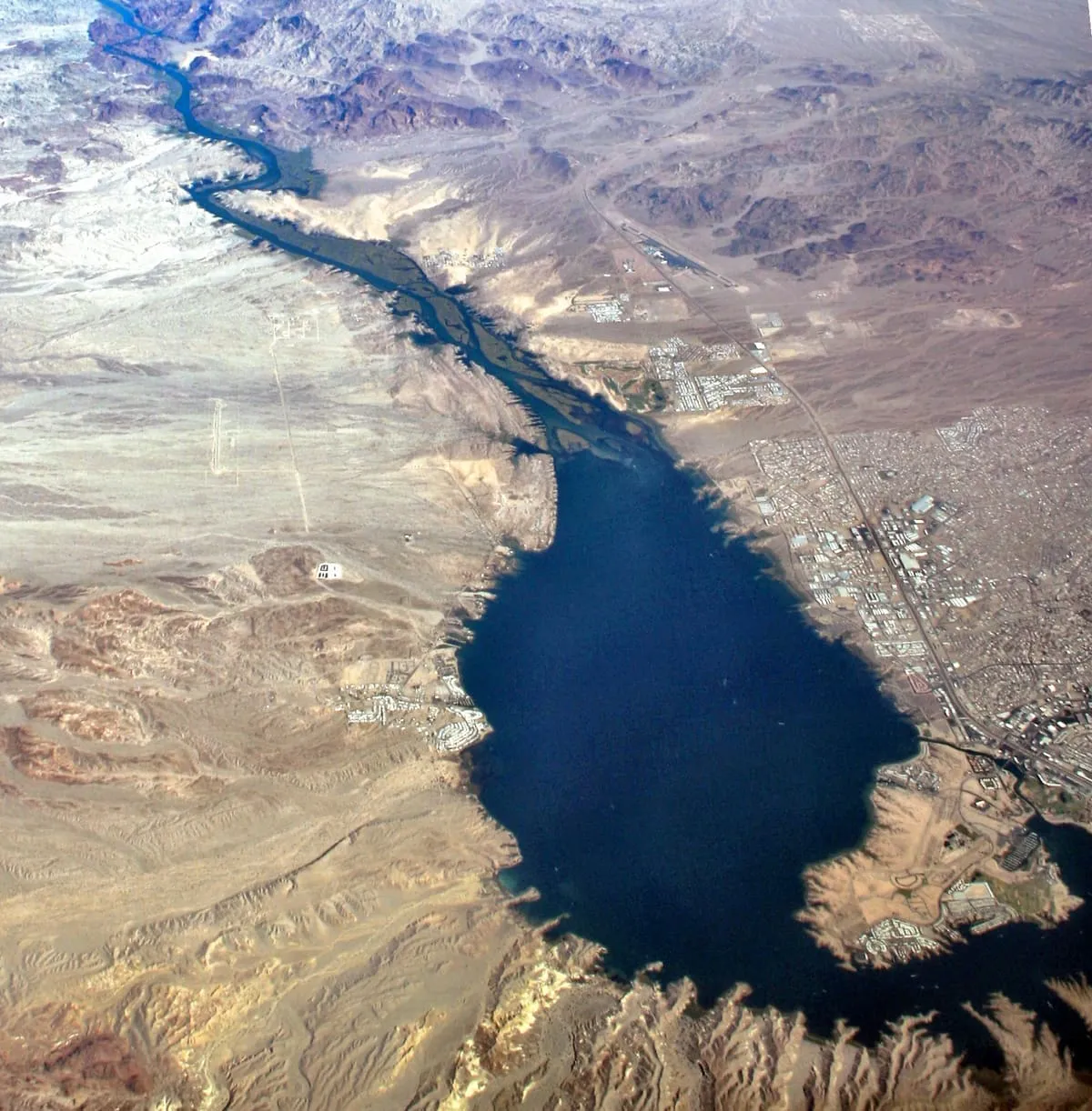
A recreation area on the Colorado River reservoir at Lake Havasu City, with camping, boating and fishing.
10 Score 45.8 out of 100 45.8
Natural Landmark
A former bat guano mine in a natural cave in the western Grand Canyon, 800 feet above Lake Mead at river mile 266.
11 Score 45.8 out of 100 45.8
Natural Landmark
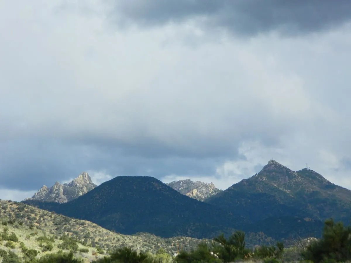
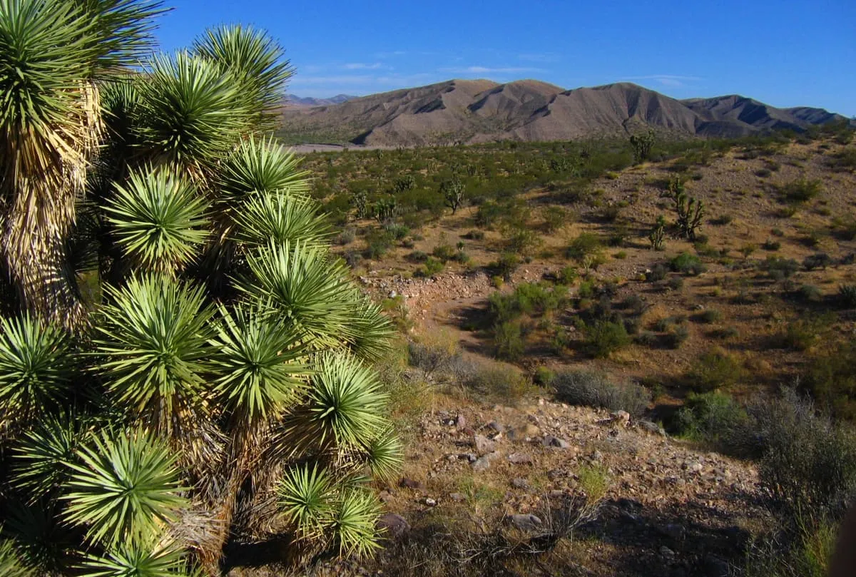
A range east of Kingman rising to 8,417 feet, whose upper slopes carry Madrean sky island habitats above the Mojave Desert.
12 Score 44.3 out of 100 44.3
Historic Site
An unincorporated community on the old Route 66, 28 miles north-east of Kingman, with 103 residents in 2020.
13 Score 42.9 out of 100 42.9
Natural Landmark
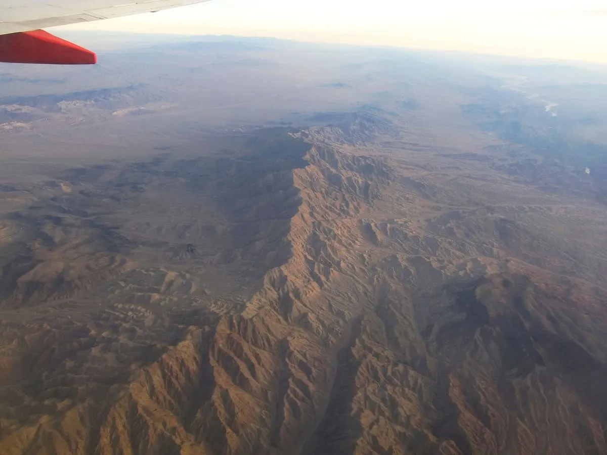
A 75-mile range in north-western Arizona along the Colorado River below Hoover Dam, holding three wilderness areas and the mining site of Oatman.
14 Score 42.6 out of 100 42.6
Natural Landmark
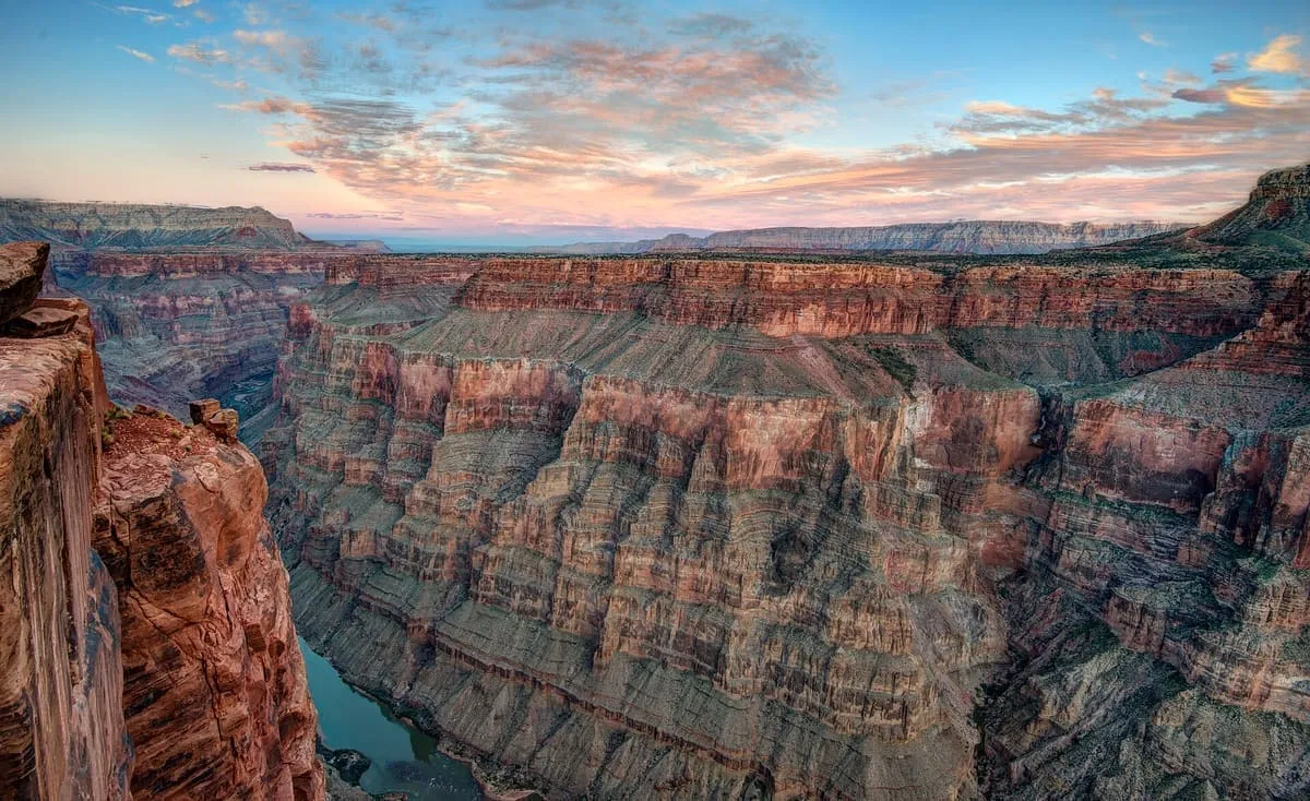
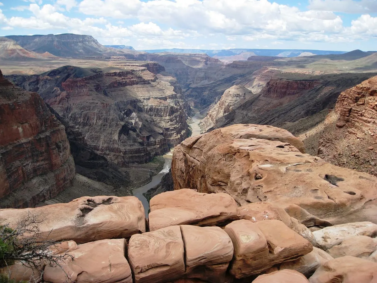
The only viewpoint in Grand Canyon National Park with the Colorado River vertically below, 3,000 feet down on the remote North Rim.
15 Score 42.3 out of 100 42.3
Historic Site
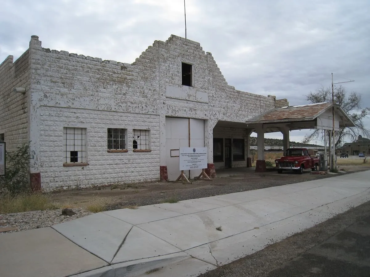
A historic Route 66 service station in Peach Springs, owned by the Hualapai and listed on the National Register in 2012.
16 Score 42.0 out of 100 42.0
Natural Landmark
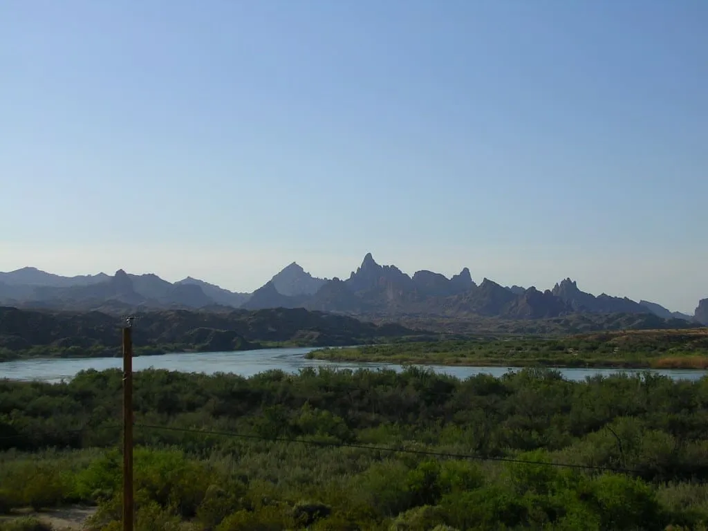
A group of rock pinnacles beside Topock Gorge and the Colorado River, rising from 1,207 to over 1,600 feet in the Mojave Mountains.
17 Score 41.9 out of 100 41.9
Natural Landmark
A seasonal stream running from Nevada to the Virgin River in Arizona, holding Utah's lowest point at 2,179 feet and desert tortoise habitat.
18 Score 40.3 out of 100 40.3
Natural Landmark
A field of monogenetic volcanoes on the Grand Canyon's north rim, whose lava flows repeatedly dammed the Colorado River.
19 Score 39.9 out of 100 39.9
State Park
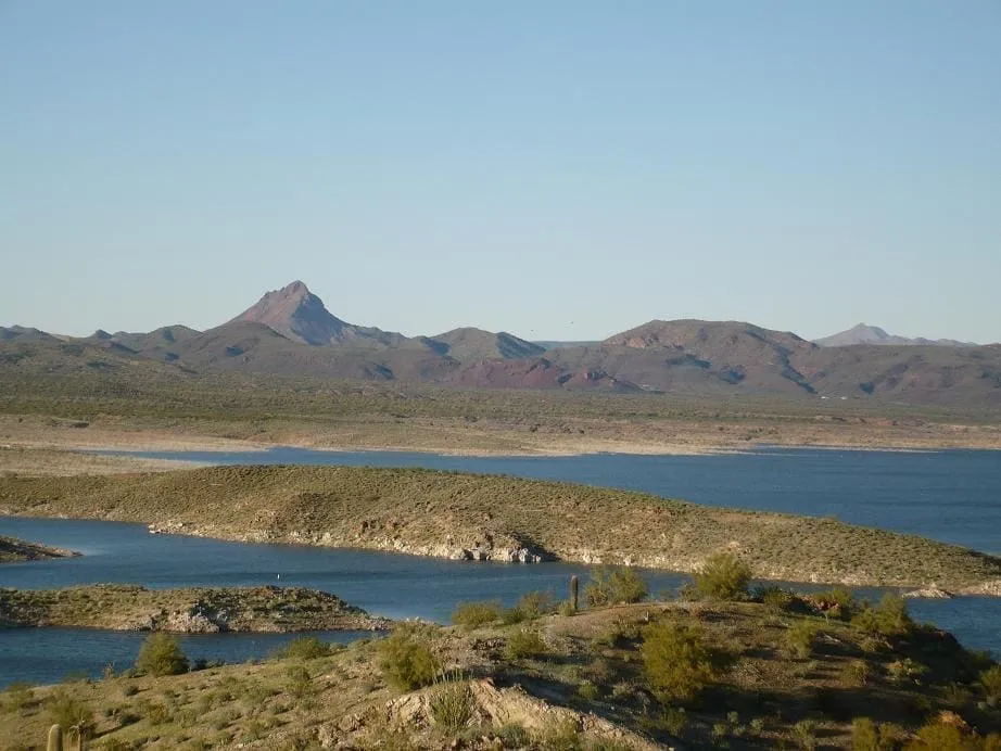
A remote flood control reservoir north of Wenden, and the darkest sky state park in the Arizona system.
20 Score 39.9 out of 100 39.9
Landmark
A Bureau of Reclamation dam completed in 1951 on the Arizona–Nevada border, impounding the Colorado River to form Lake Mohave.
21 Score 39.9 out of 100 39.9
National Monument
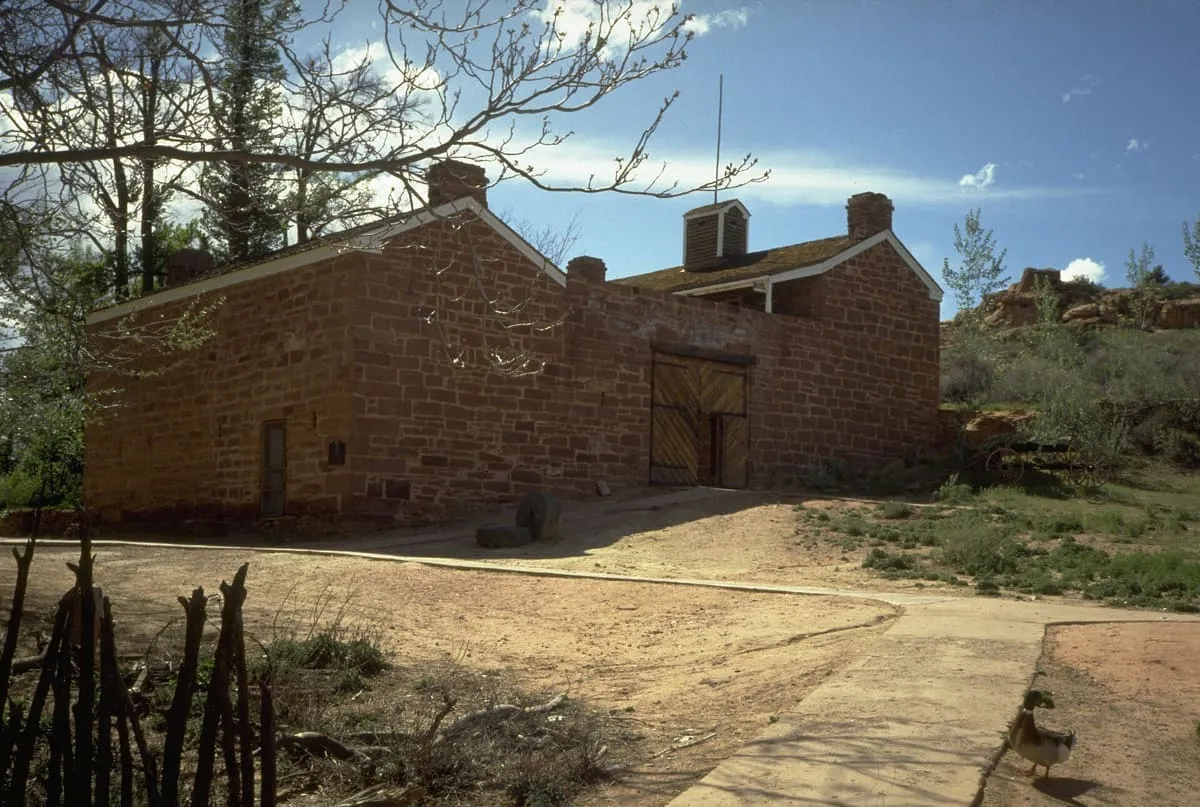
A National Park Service monument in northern Arizona holding Native American, explorer and Mormon pioneer history.
22 Score 34.4 out of 100 34.4
Historic Site
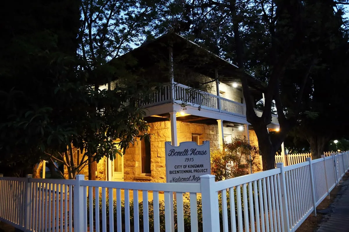
An 1915 Kingman house listed on the National Register following a 1985 survey of 63 local historic resources.
23 Score 33.2 out of 100 33.2
State Park
A state park on the shore of Lake Havasu, 19 miles from Lake Havasu City and eight from the Parker Strip.
24 Score 30.0 out of 100 30.0
Museum
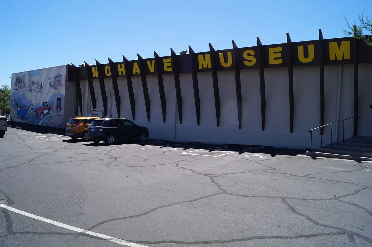
A private, not-for-profit Kingman museum, founded in 1961, dedicated to the heritage and arts of north-western Arizona.
25 Score 26.4 out of 100 26.4
Canyon
Snap Point and Canyon, in Grand Canyon–Parashant National Monument, Arizona.
26 Score 25.5 out of 100 25.5
Historic Site
A ruined former copper mine in Grand Canyon–Parashant National Monument, reached by a rough road that can defeat standard pickup trucks.
27 Score 25.5 out of 100 25.5
Natural Landmark
A Mohave County park near Kingman with ten miles of trails, rental cabins, and group event areas, the largest holding 500 people.
28 Score 25.5 out of 100 25.5
Natural Landmark
Kelly Point Overlook, in Grand Canyon–Parashant National Monument, Arizona.
29 Score 25.5 out of 100 25.5
Natural Landmark
A seven-mile multi-use trail near Kingman through volcanic rock formations, with little shade and no water available.
30 Score 25.5 out of 100 25.5
Natural Landmark
Pakoon Springs, in Grand Canyon–Parashant National Monument, Mohave County, Arizona, is one of the two largest springs of the Pakoon Basin.
31 Score 25.5 out of 100 25.5
Historic Site
Tassi Ranch, in Grand Canyon–Parashant National Monument, Mohave County, Arizona, is the ruin of a historic ranch.
32 Score 25.5 out of 100 25.5
Natural Landmark
Twin Point Overlook, on the Grand Canyon–Parashant/Grand Canyon National Park border in Mohave County, Arizona, overlooks the Grand Canyon.
33 Score 25.5 out of 100 25.5
Historic Site
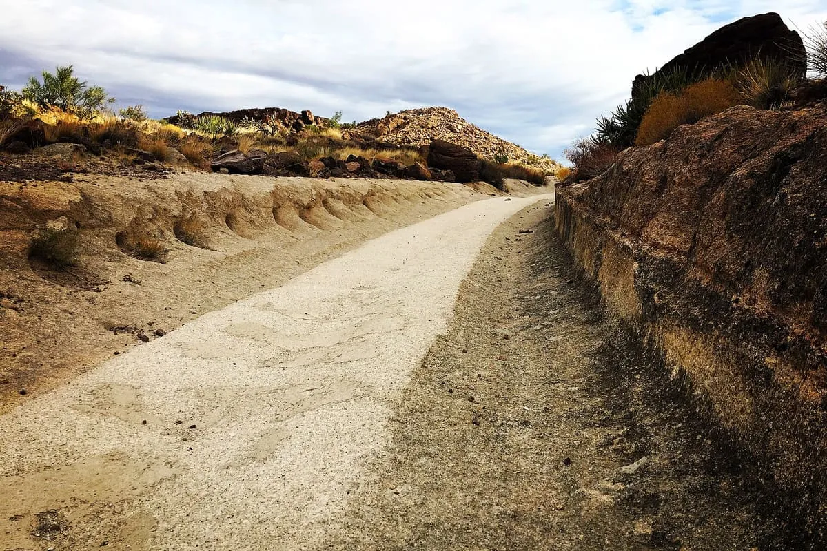
White Cliffs Wagon Trail Park, in Kingman, Arizona, preserves an 1800s mining wagon route with wheel tracks cut into bedrock, now used by hikers.
34 Score 24.5 out of 100 24.5
Landmark
A 0.25-mile paved oval in Lake Havasu City, the only paved racing circuit in western Arizona, hosting weekly stock car events.
35 Score 24.5 out of 100 24.5
Landmark
Oak Grove is a ghost town in Mohave County, Arizona, at an estimated elevation of 5,945 feet above sea level.
36 Score 24.5 out of 100 24.5
Landmark
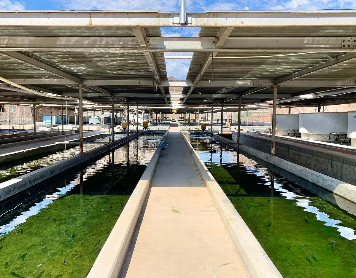
A US Fish and Wildlife Service hatchery on the Colorado River in Mohave County, twelve miles south of Hoover Dam.
37 Score 24.2 out of 100 24.2
Museum
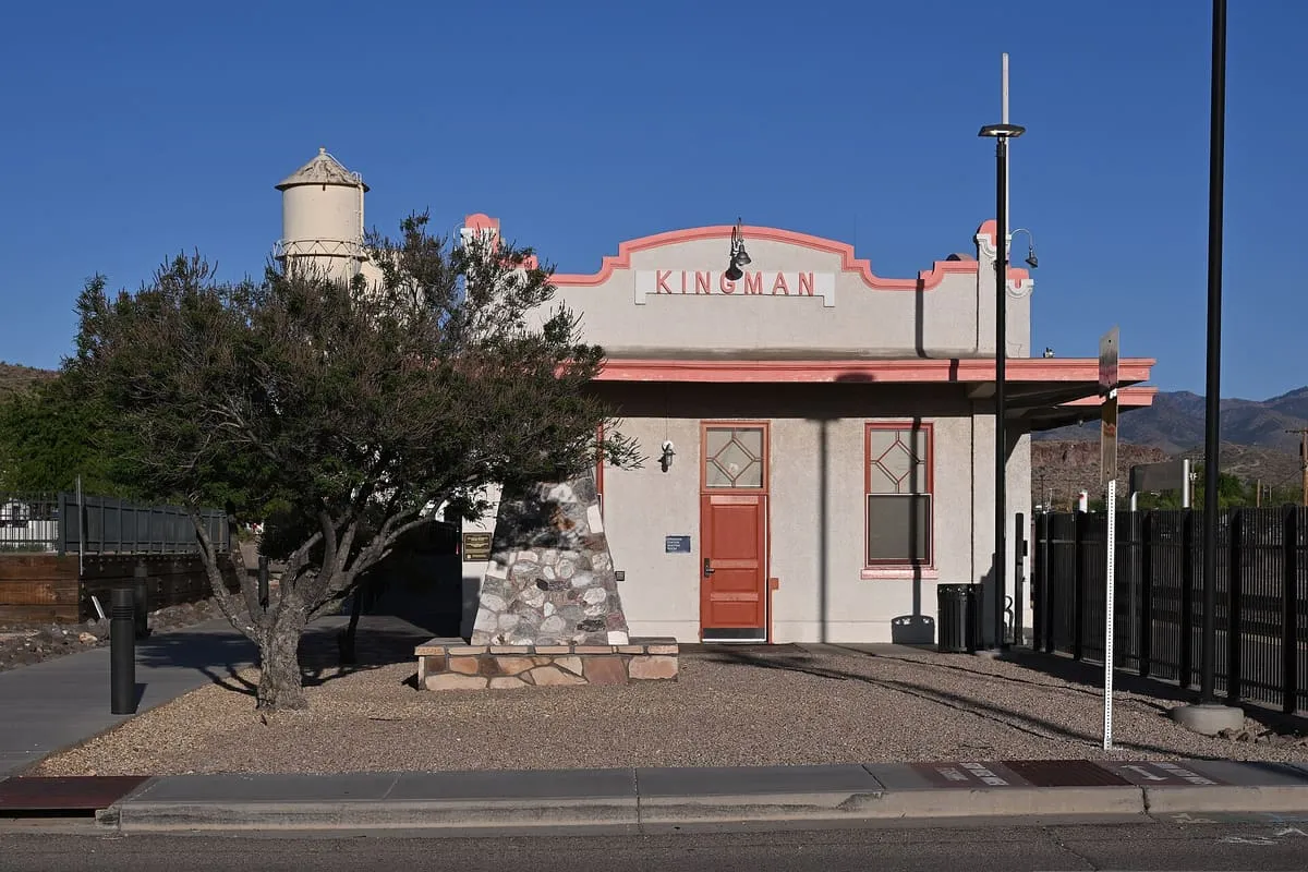
Kingman Railroad Museum, in Kingman, Arizona.
38 Score 24.2 out of 100 24.2
Museum
Lake Havasu Museum of History, in Lake Havasu City, Arizona.
39 Score 24.2 out of 100 24.2
Museum
Route 66 Museum, in Kingman, Arizona, traces the history of Route 66 and displays about 16 historic electric vehicles, including one owned by Willie Nelson.
40 Score 19.8 out of 100 19.8
Landmark
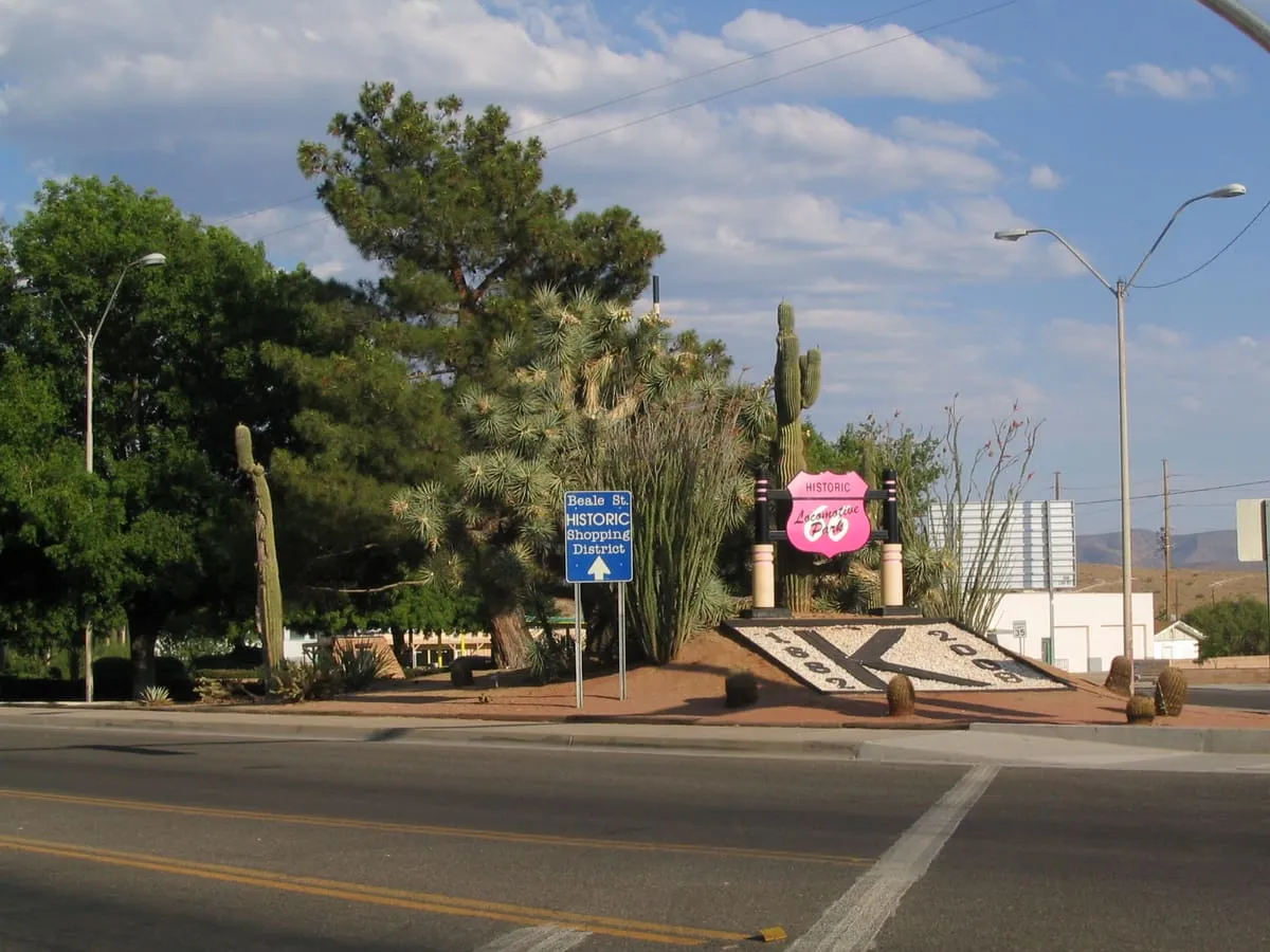
Locomotive Park, in Kingman, Mohave County, Arizona, is a park that is home to the preserved steam locomotive No. 3759.
41 Score 19.8 out of 100 19.8
Landmark
Snoopy Rocket of Wikieup, in Mohave County, Arizona, is a roadside attraction with figures of Snoopy and Woodstock atop a rocket.