
0.9 miles away
Hi Corbett Field
A baseball park in Tucson seating about 9,500, home to the University of Arizona Wildcats and formerly to two Major League clubs.
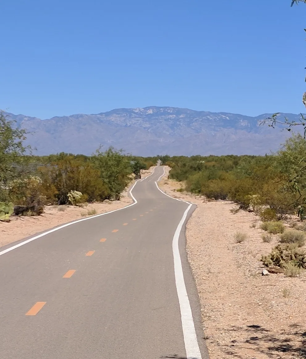
A Pima County network of shared-use paths around Tucson, planned to comprise 131 miles of paved trail once complete.
The Loop is a network of shared-use paths in metropolitan Tucson, Arizona, maintained by Pima County. Once complete it will comprise 131 miles (211 km) of paved trails given over to cyclists, pedestrians and equestrians. By 2014 the network was 85 per cent complete, with more than one hundred miles in place. Pima County estimates that the Loop is used by an average of 2,000 people each weekday and more than 5,000 at weekends.
The Loop is a landmark near Tucson, in Pima County. It is one of the landmarks in this database, and appears in the statewide ranking of Arizona attractions.
No official visitor count is published for The Loop, so its score rests on public interest and tourism significance, and is capped below the level a measured attraction can reach. That is why the medium confidence above is not higher. The weighting is explained in full on the methodology page, and every axis is broken out under Facts and sources at the foot of this page.
Note on the data: No official visitor count is published for this attraction.
Record last verified 2026-08-12.
0.9 miles away
0.9 miles away

1.2 miles away

1.6 miles away

1.7 miles away
1.8 miles away