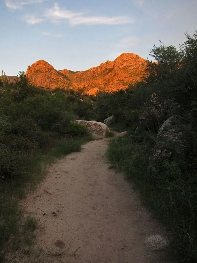
10 miles away
Catalina State Park
Foothills and canyons at the base of the Santa Catalina Mountains north of Tucson, holding nearly 5,000 saguaros.
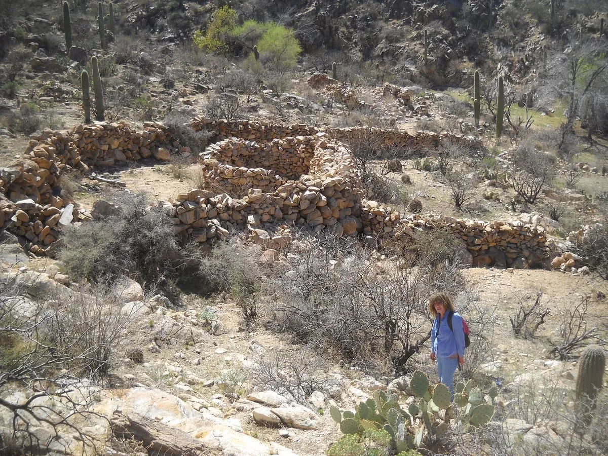
A mountain range north-west of Tucson rising to 4,696 feet, largely protected within Tortolita Mountain Park since 1986.
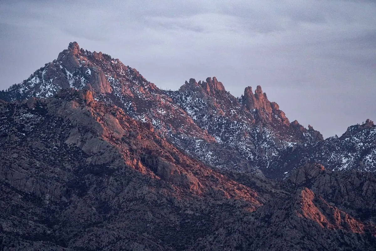
The Tortolita Mountains are a mountain range north-west of Tucson, Arizona, at the northern boundaries of Oro Valley and Marana, two of its suburbs. Peak elevation is 4,696 feet. Much of the range is protected within Tortolita Mountain Park, established by Pima County in 1986. The Hohokam occupied the area for approximately 700 years from around AD 500, and the ruins of the Hohokam settlement of Honeybee Village, in the eastern foothills, are preserved and maintained by the Town of Oro Valley. Nearby Honeybee Canyon carries Honeybee Creek, one of the few perennial streams in Pima County; resort, golf course and housing development near the canyon has been a source of conflict between environmentalists and real estate developers since the 1990s.
Tortolita Mountains is a natural landmark near Santa Catalina Mountains, in Pima County. It is one of the natural landmarks in this database, and appears in the statewide ranking of Arizona attractions.
No official visitor count is published for Tortolita Mountains, so its score rests on public interest and tourism significance, and is capped below the level a measured attraction can reach. That is why the medium confidence above is not higher. The weighting is explained in full on the methodology page, and every axis is broken out under Facts and sources at the foot of this page.
Note on the data: No official visitor count is published for this attraction.
Record last verified 2026-08-12.
10 miles away

12 miles away
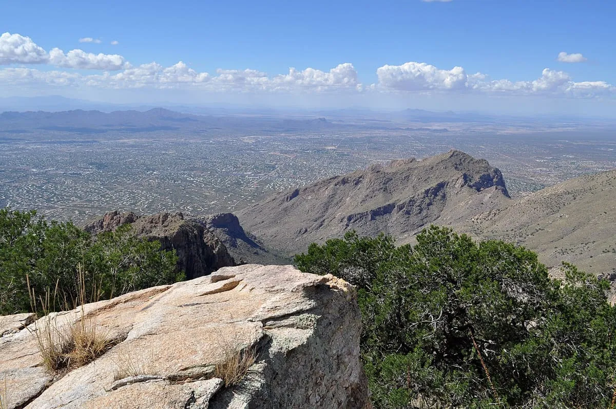
12 miles away
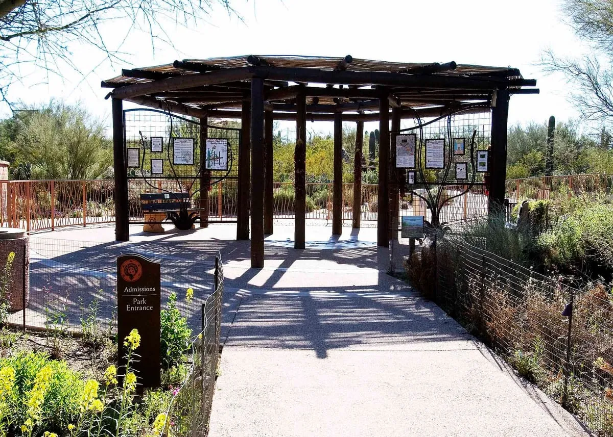
14 miles away
16 miles away
16 miles away