0.7 miles away
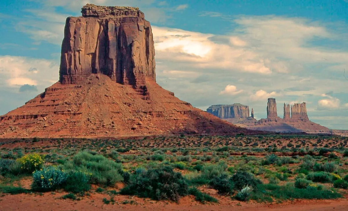
Merrick Butte
A butte in Monument Valley Navajo Tribal Park, south of the Mitten Buttes and named for the miner Jack Merrick.
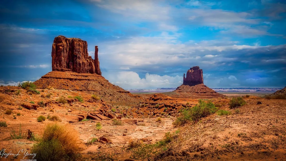
Two buttes in Monument Valley Navajo Tribal Park, rising above 6,100 feet and named for their resemblance to a pair of mittens.
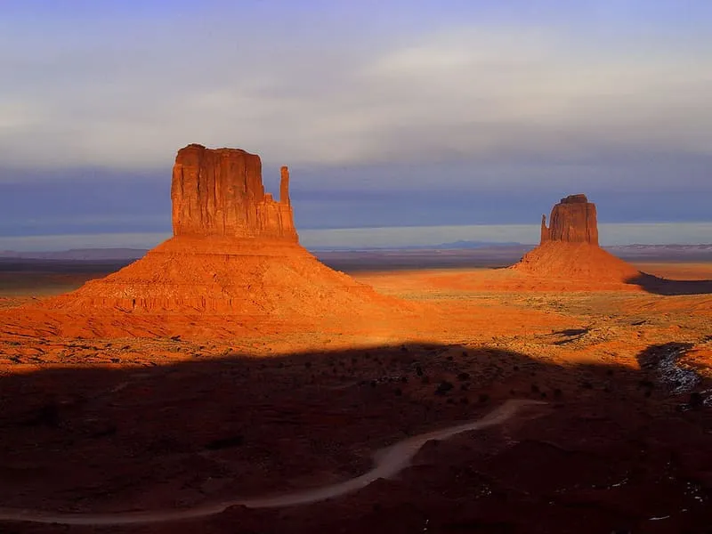
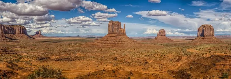
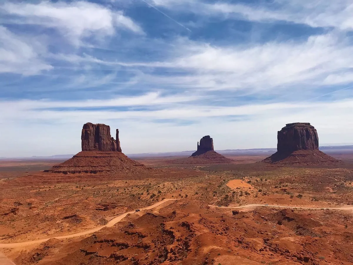
The West and East Mitten Buttes, also known as the Mittens, are two buttes in Monument Valley Navajo Tribal Park, in north-eastern Navajo County. Viewed from the south they resemble two giant mittens with their thumbs facing inwards. They stand about 0.6 miles from the Arizona-Utah state line, and West Mitten Butte lies 1.1 miles north-east of the park headquarters. The summit of West Mitten Butte is 6,176 feet and that of East Mitten Butte 6,226 feet. With Merrick Butte, about two-thirds of a mile to the south, the Mittens form a triangle, and Sentinel Mesa, a more extensive plateau, lies to the north-west. At the end of March and in mid-September, for a few days only, the shadow of the West Mitten falls across the East Mitten at sunset, an effect known as the Mitten Shadow. The buttes are made of three principal rock layers: Organ Rock Shale at the base, de Chelly Sandstone in the middle and the Moenkopi Formation above, capped by Shinarump Conglomerate.
West and East Mitten Buttes is a natural landmark near Monument Valley, in Navajo County. It is one of the natural landmarks in this database, and appears in the statewide ranking of Arizona attractions.
No official visitor count is published for West and East Mitten Buttes, so its score rests on public interest and tourism significance, and is capped below the level a measured attraction can reach. That is why the medium confidence above is not higher. The weighting is explained in full on the methodology page, and every axis is broken out under Facts and sources at the foot of this page.
Note on the data: No official visitor count is published for this attraction.
Record last verified 2026-08-12.
0.7 miles away
1.0 miles away
1.7 miles away
2.1 miles away
2.3 miles away
2.4 miles away