11 miles away
Swansea
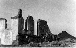
A ghost town in La Paz County, settled around 1909 to mine, process and smelt copper ore from the surrounding claims.
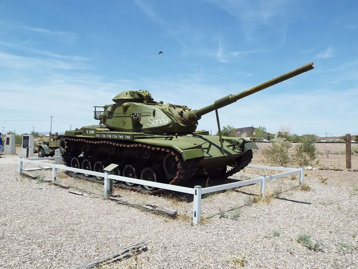
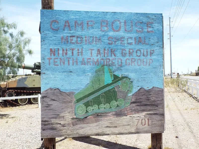
A secret camp of the US Army's Desert Training Center in western Arizona, 25 miles from the town of Bouse.
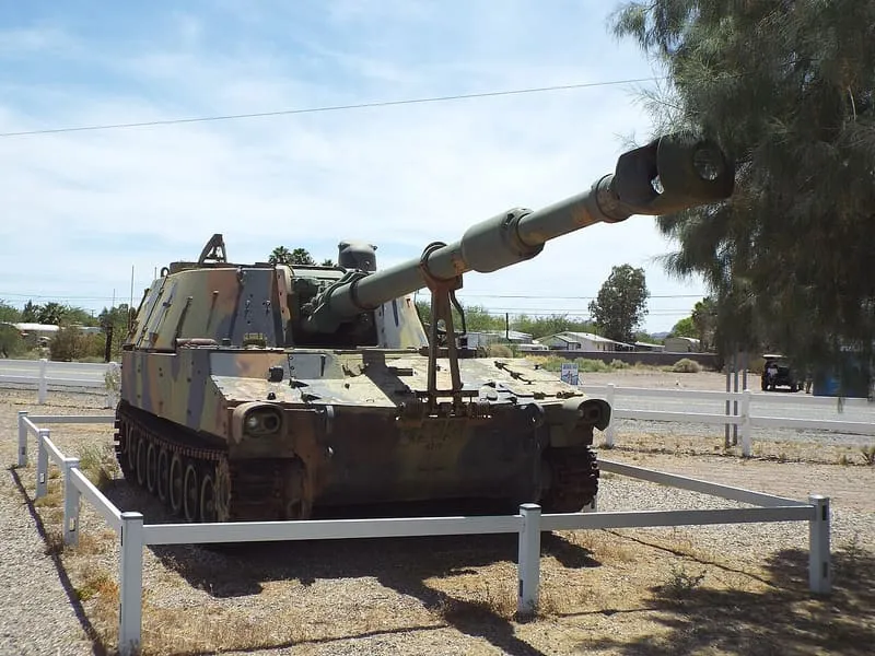
Camp Bouse was a secret camp of the United States Army's Desert Training Center, in western Arizona. It lay 25 miles from Bouse, just north of Arizona State Route 72 and about 50 miles north of Interstate 10.
Camp Bouse is a historic site near Wenden, in La Paz County. It is one of the historic sites in this database, and appears in the statewide ranking of Arizona attractions.
No official visitor count is published for Camp Bouse, so its score rests on public interest and tourism significance, and is capped below the level a measured attraction can reach. That is why the medium confidence above is not higher. The weighting is explained in full on the methodology page, and every axis is broken out under Facts and sources at the foot of this page.
Note on the data: No official visitor count is published for this attraction.
Record last verified 2026-08-12.
11 miles away
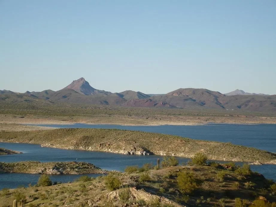
16 miles away
26 miles away
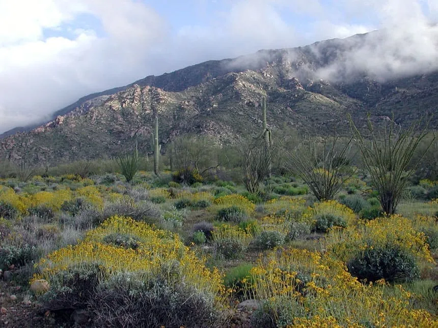
28 miles away
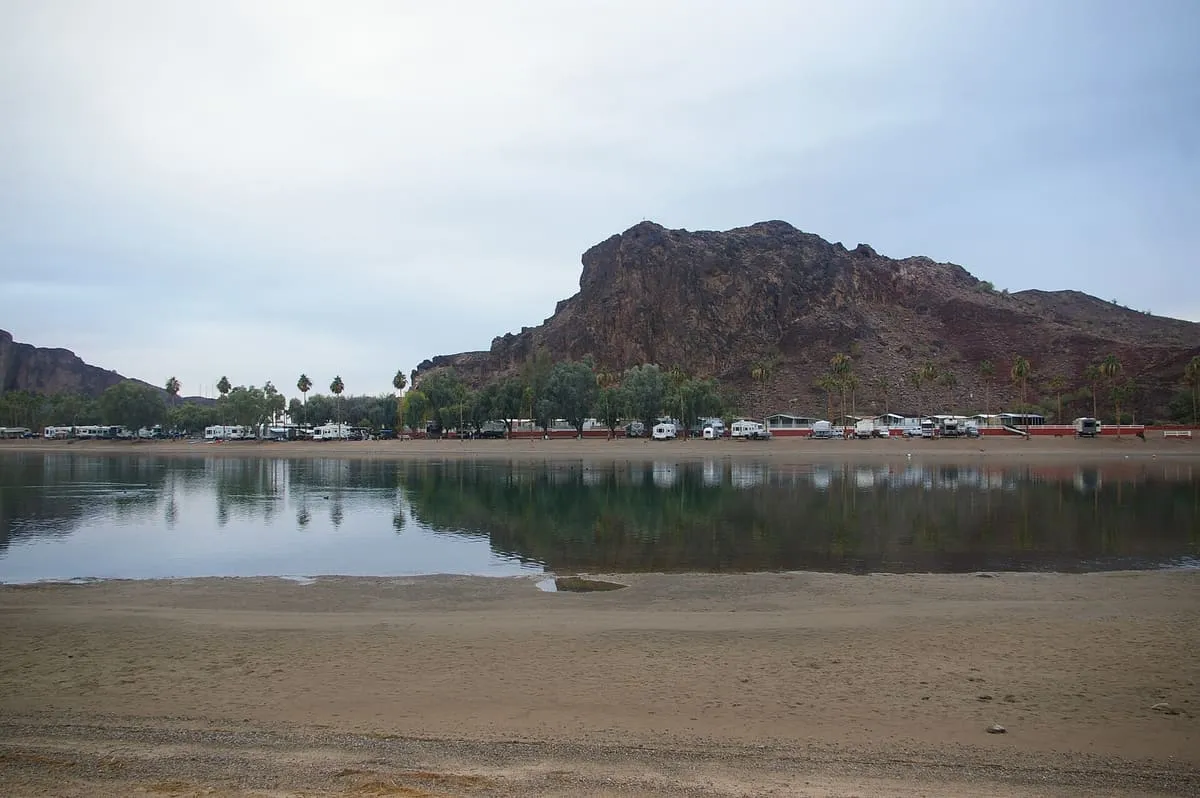
29 miles away
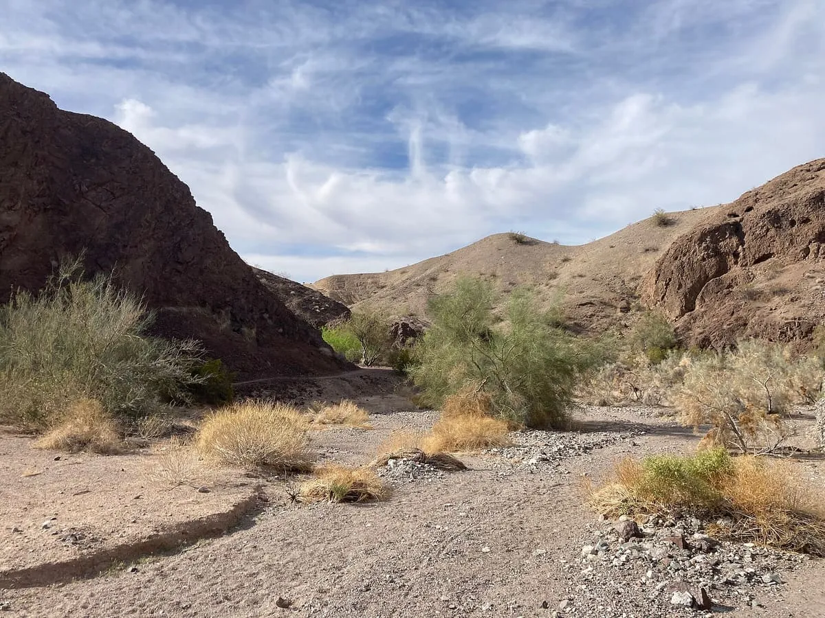
33 miles away