12 miles away
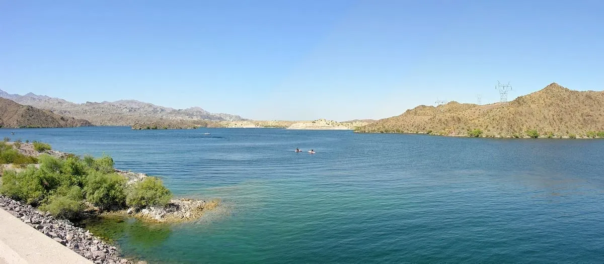
Lake Mohave
A Colorado River reservoir between Hoover and Davis dams on the Nevada–Arizona border, part of Lake Mead National Recreation Area.
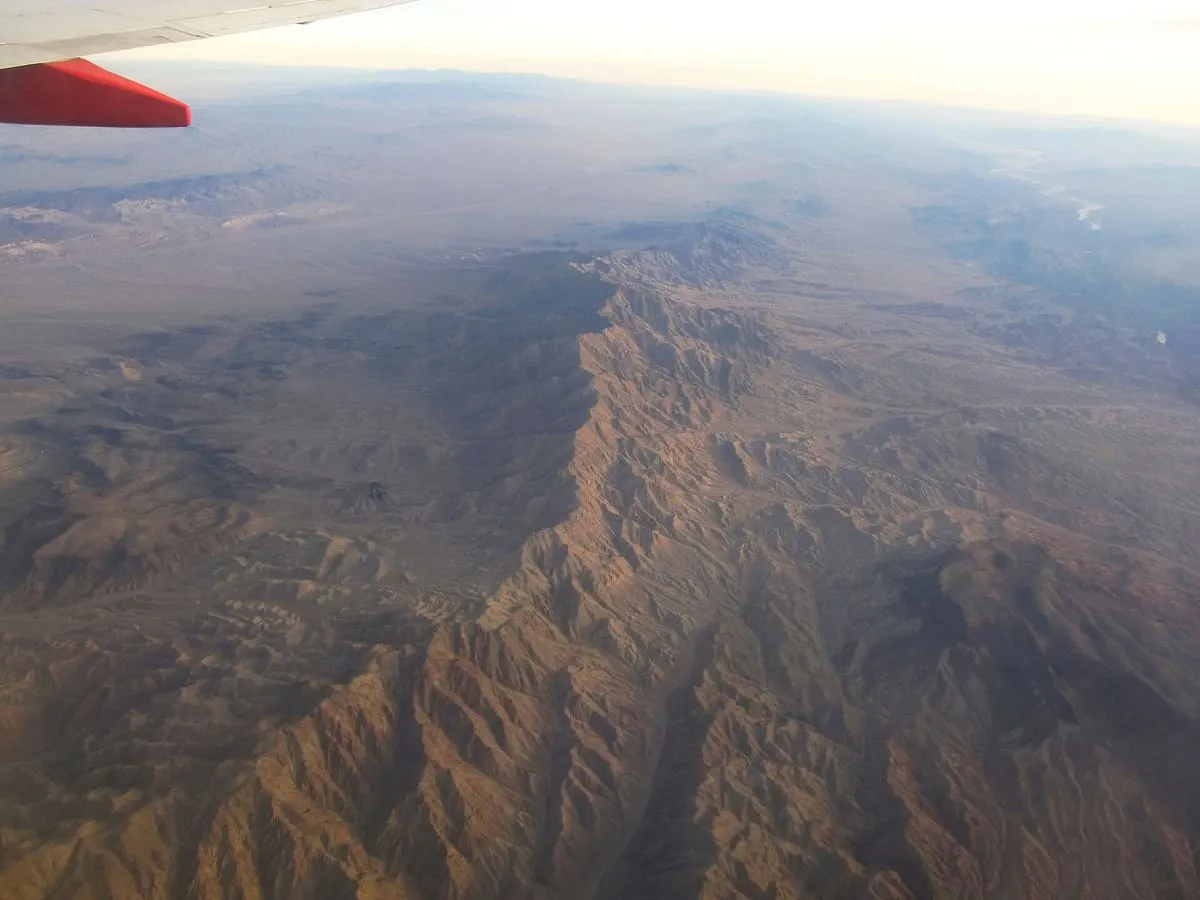
A 75-mile range in north-western Arizona along the Colorado River below Hoover Dam, holding three wilderness areas and the mining site of Oatman.
The Black Mountains are an extensive, mostly linear mountain range in north-western Arizona, trending north to south for 75 miles. The range forms the north-south border of south-western Mohave County, running along the eastern shore of the Colorado River as it flows south from the Hoover Dam. Its north-western and part of its western areas lie within the Lake Mead National Recreation Area, and three wilderness areas are within the range. The historic mining site of Oatman lies in the southern portion, 4 miles north of Boundary Cone, between the Mount Nutt and Warm Springs wildernesses.
Black Mountains is a natural landmark near Lake Mead National Recreation Area, in Mohave County. It is one of the natural landmarks in this database, and appears in the statewide ranking of Arizona attractions.
No official visitor count is published for Black Mountains, so its score rests on public interest and tourism significance, and is capped below the level a measured attraction can reach. That is why the medium confidence above is not higher. The weighting is explained in full on the methodology page, and every axis is broken out under Facts and sources at the foot of this page.
Note on the data: No official visitor count is published for this attraction.
Record last verified 2026-08-12.
12 miles away
20 miles away
23 miles away

23 miles away
26 miles away
33 miles away