2.0 miles away
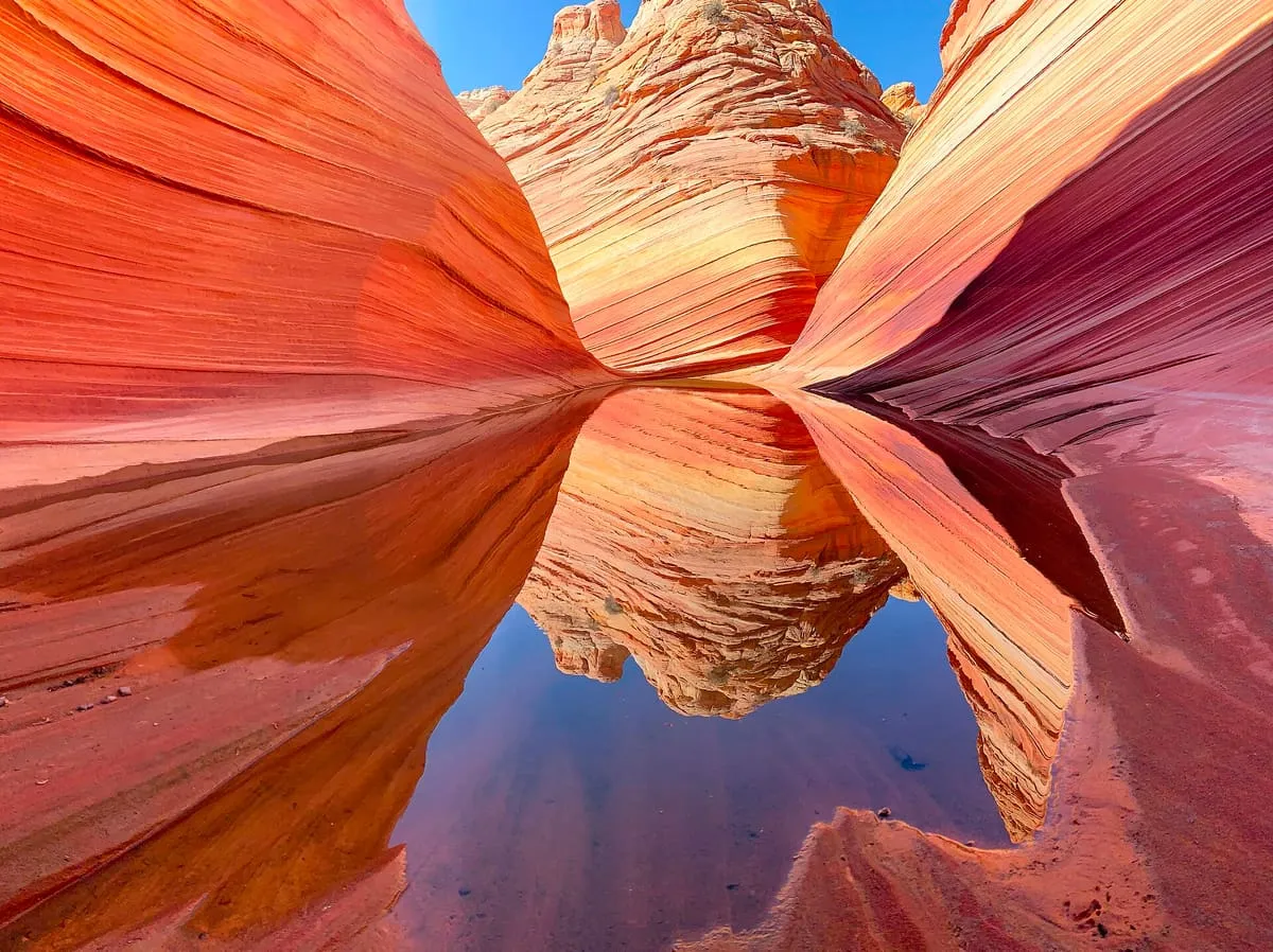
The Wave
A banded sandstone formation in the Coyote Buttes, reached only by permit lottery and a difficult hike.
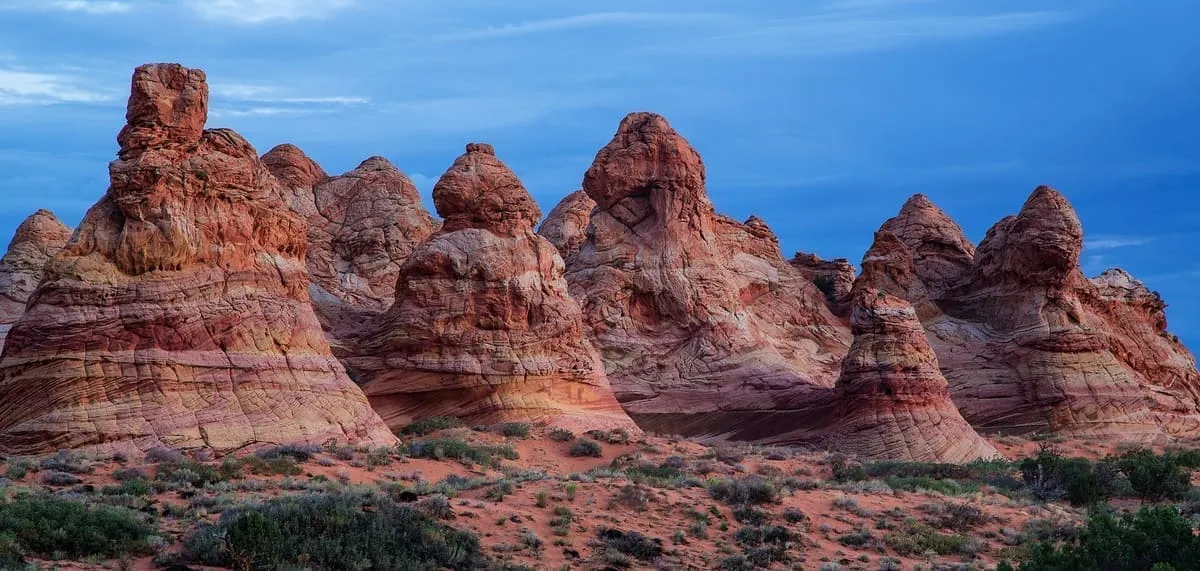
A permit-only section of the Paria Canyon-Vermilion Cliffs Wilderness in Navajo Sandstone, containing the formation known as the Wave.
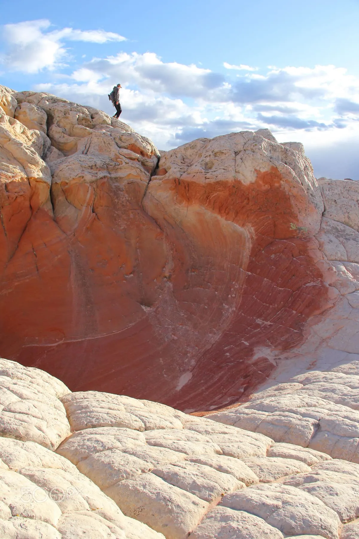
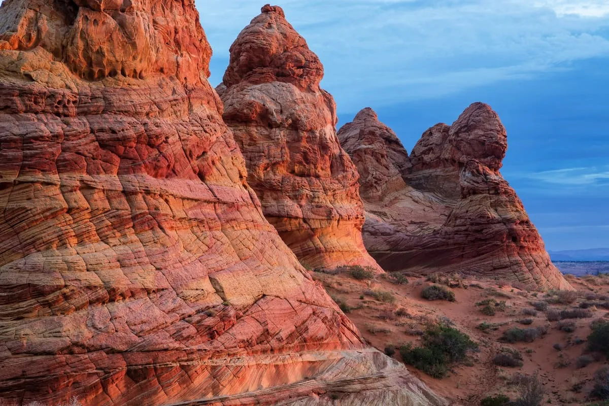
Coyote Buttes is a section of the Paria Canyon-Vermilion Cliffs Wilderness administered by the Bureau of Land Management. It spans extreme south-central Utah and north-central Arizona, south of US 89 and roughly halfway between Kanab, Utah, and Page, Arizona, and is divided into two areas, Coyote Buttes North and Coyote Buttes South. A hiking permit is required to enter either. The area is an exposure of cross-bedded aeolian Jurassic Navajo Sandstone, whose variable colouring results from iron oxide pigments within the layers, and its erosional formations include the Wave. A dinosaur trackway, or trample surface, records the presence of a variety of dinosaurs. The Wave and Buckskin Gulch share the Wire Pass Trailhead on House Rock Valley Road.
Coyote Buttes is a natural landmark near Vermilion Cliffs National Monument, in Coconino County. It is one of the natural landmarks in this database, and appears in the statewide ranking of Arizona attractions.
No official visitor count is published for Coyote Buttes, so its score rests on public interest and tourism significance, and is capped below the level a measured attraction can reach. That is why the medium confidence above is not higher. The weighting is explained in full on the methodology page, and every axis is broken out under Facts and sources at the foot of this page.
Note on the data: No official visitor count is published for this attraction.
Record last verified 2026-08-12.
2.0 miles away
6.3 miles away
11 miles away
15 miles away