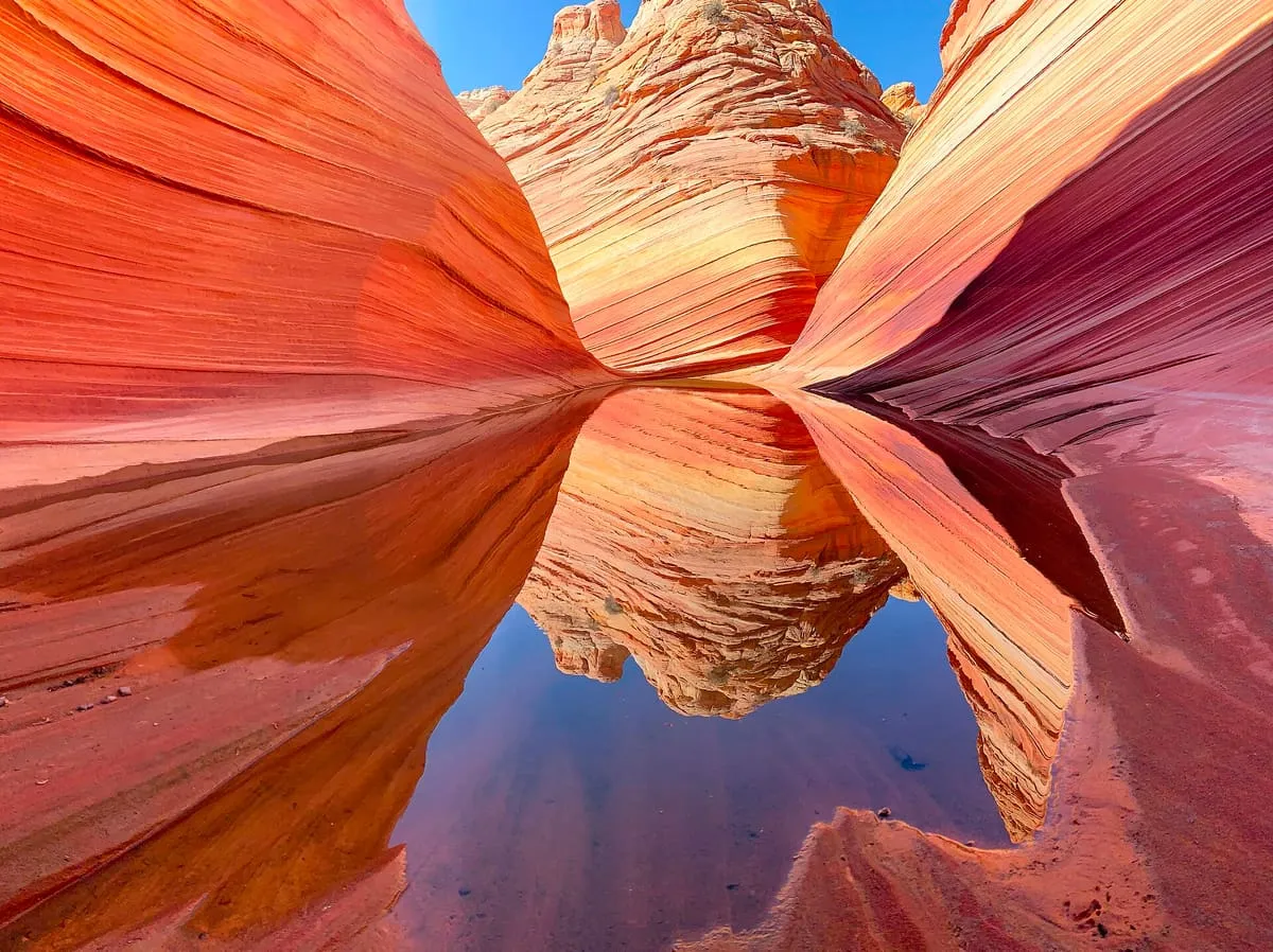
The Wave
A banded sandstone formation in the Coyote Buttes, reached only by permit lottery and a difficult hike.
- Rank in Arizona
- #17of 727 ranked
- Overall score
- Score 64.9 out of 100medium confidence
- Category
- Natural Landmark
The Wave is a sandstone formation on the slopes of the Coyote Buttes, in the Paria Canyon–Vermilion Cliffs Wilderness of the Colorado Plateau, near Arizona's northern border with Utah. It is known among hikers and photographers for its colourful undulating forms and for the difficulty of the hike required to reach it. The area is administered by the Bureau of Land Management from the Grand Staircase–Escalante National Monument visitor centre in Kanab, Utah. Because the formation is fragile and demand to visit it is high, access is controlled by permit. Forty-eight permits are issued online four months ahead of a planned trip, and a daily lottery held two days in advance releases the remainder, for up to 16 people or four groups, whichever limit is reached first; applicants for that lottery must apply from within a geofenced area covering Kanab, the Vermilion Cliffs and Page.
Where it is
The Wave is a natural landmark near Vermilion Cliffs National Monument, in Coconino County. It is one of the natural landmarks in this database, and appears in the statewide ranking of Arizona attractions.
How this ranking was reached
No official visitor count is published for The Wave, so its score rests on public interest and tourism significance, and is capped below the level a measured attraction can reach. That is why the medium confidence above is not higher. The weighting is explained in full on the methodology page, and every axis is broken out under Facts and sources at the foot of this page.
Note on the data: No official visitor count is published for this attraction.
Sources
- Public interest: Wikimedia pageviews (en.wikipedia, human traffic), 2024
- Coordinates and designations: Wikidata(opens in a new tab)
- County: U.S. Census geography via FCC Area API, resolved from coordinates
- Official site: https://www.thewave.info/(opens in a new tab)
Record last verified 2026-08-12.
More photographs
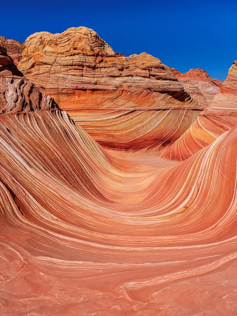
Public domain · source(opens in a new tab) 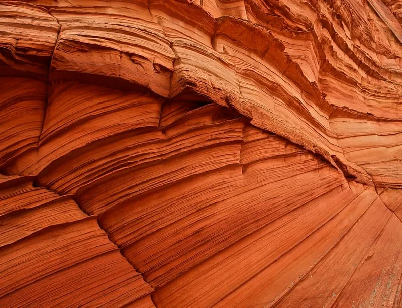
Alex Proimos from Sydney, Australia, CC BY 2.0 · licence(opens in a new tab) · source(opens in a new tab)
Nearby attractions
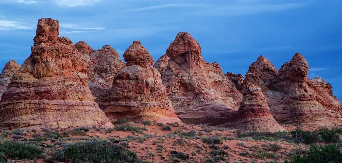
2.0 miles away
Coyote Buttes
A permit-only section of the Paria Canyon-Vermilion Cliffs Wilderness in Navajo Sandstone, containing the formation known as the Wave.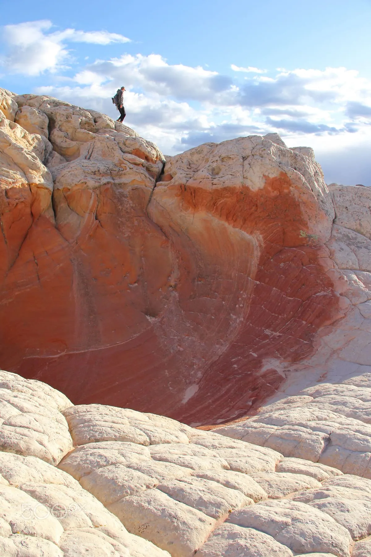
6.5 miles away
White Pocket
White Pocket, in Vermilion Cliffs National Monument, Arizona, is a sandstone formation whose thin grey cover layer resembles an iced marble cake.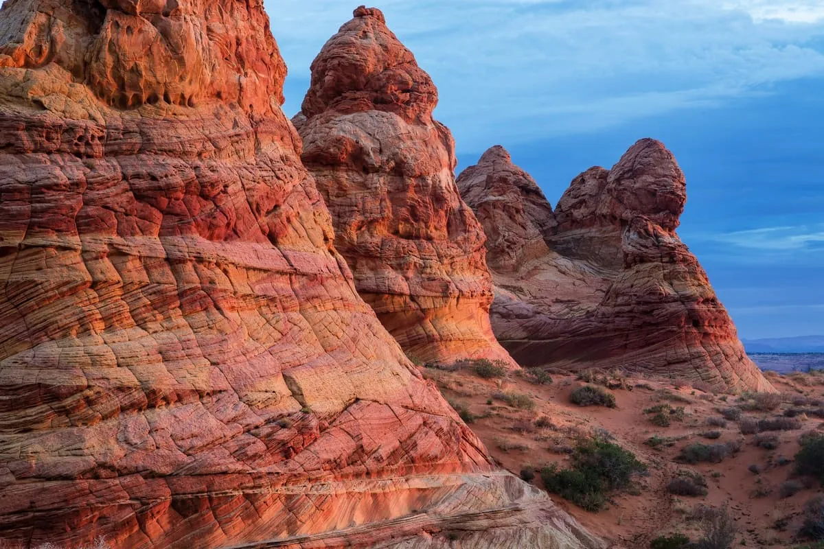
12 miles away
Paria Canyon-Vermilion Cliffs Wilderness
A 112,500-acre wilderness of broad plateaus, tall escarpments and deep canyons on the Colorado Plateau, designated in 1984.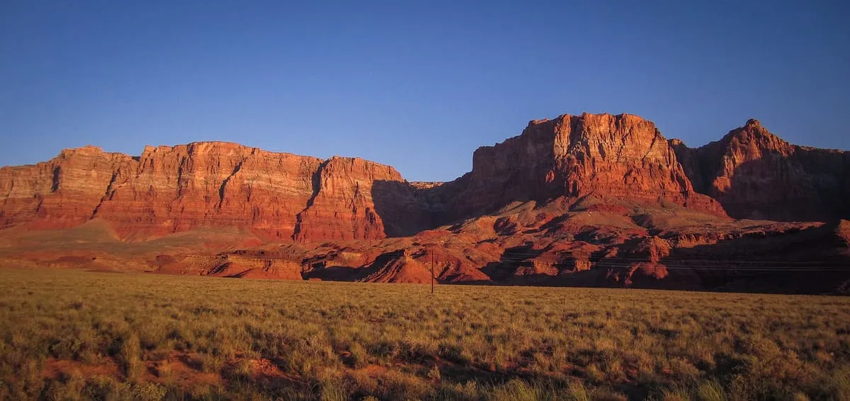
15 miles away
Vermilion Cliffs
The second step of the Grand Staircase of the Colorado Plateau, extending west from near Page across northern Arizona and southern Utah.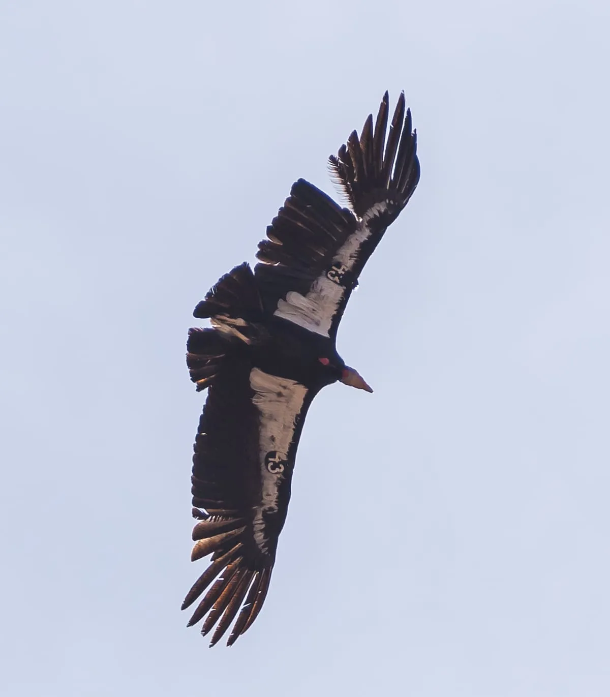
Facts and sources
Place
- Category
- Natural Landmark
- Destination
- Vermilion Cliffs National Monument
- County
- Coconino County
- State
- Arizona
Visitation
- Annual visits
- Not published
Ranking
- Overall score
- 64.9 / 100
- Visitation score
- No published count
- Popularity score
- 73.2
- Significance score
- 58.0
- Confidence
- medium
Visiting
- Official website
- thewave.info(opens in a new tab)
- Coordinates
- 36.9961, -112.0060
- Last verified
- 2026-08-12