6.8 miles away
Telegraph Pass Trail
Telegraph Pass Trail, in Yuma, Yuma County, Arizona, is a 4.3-mile hiking route with views from the top of the pass.
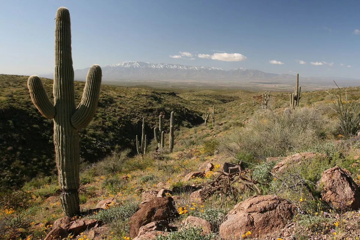
A fault-blocked range 26 miles long east of Yuma, in the Sonoran Desert, rising to 3,156 feet at Sheep Peak.
The Gila Mountains of Yuma County are a mountain range 26 miles (42 km) long in south-western Arizona, in the north-western Sonoran Desert. The fault-blocked range trends north-west to south-east, east of Yuma and south-east of the confluence of the Colorado and Gila rivers in the Lower Colorado River Valley. It is attached on the south to the Tinajas Altas Mountains, which continue south-east into Sonora, Mexico for another 30 miles, and its north-western end borders the Laguna Mountains; the Gila River flows through the Gila Valley between the two ranges before joining the Colorado. Dome Valley, a low-elevation basin, lies to the north-east, between the range and the Muggins Mountains, and the plain running north from it towards the Castle Dome Mountains holds the Yuma Proving Ground. The highest peak is Sheep Peak, at 3,156 feet (962 m). The community of Fortuna Foothills, named after the Fortuna Mine, lies in the north-western foothills, and the range falls within the western portion of the Barry M. Goldwater Air Force Range, used by Marine Corps Air Station Yuma.
Gila Mountains is a natural landmark near Yuma, in Yuma County. It is one of the natural landmarks in this database, and appears in the statewide ranking of Arizona attractions.
No official visitor count is published for Gila Mountains, so its score rests on public interest and tourism significance, and is capped below the level a measured attraction can reach. That is why the medium confidence above is not higher. The weighting is explained in full on the methodology page, and every axis is broken out under Facts and sources at the foot of this page.
Note on the data: No official visitor count is published for this attraction.
Record last verified 2026-08-12.
6.8 miles away
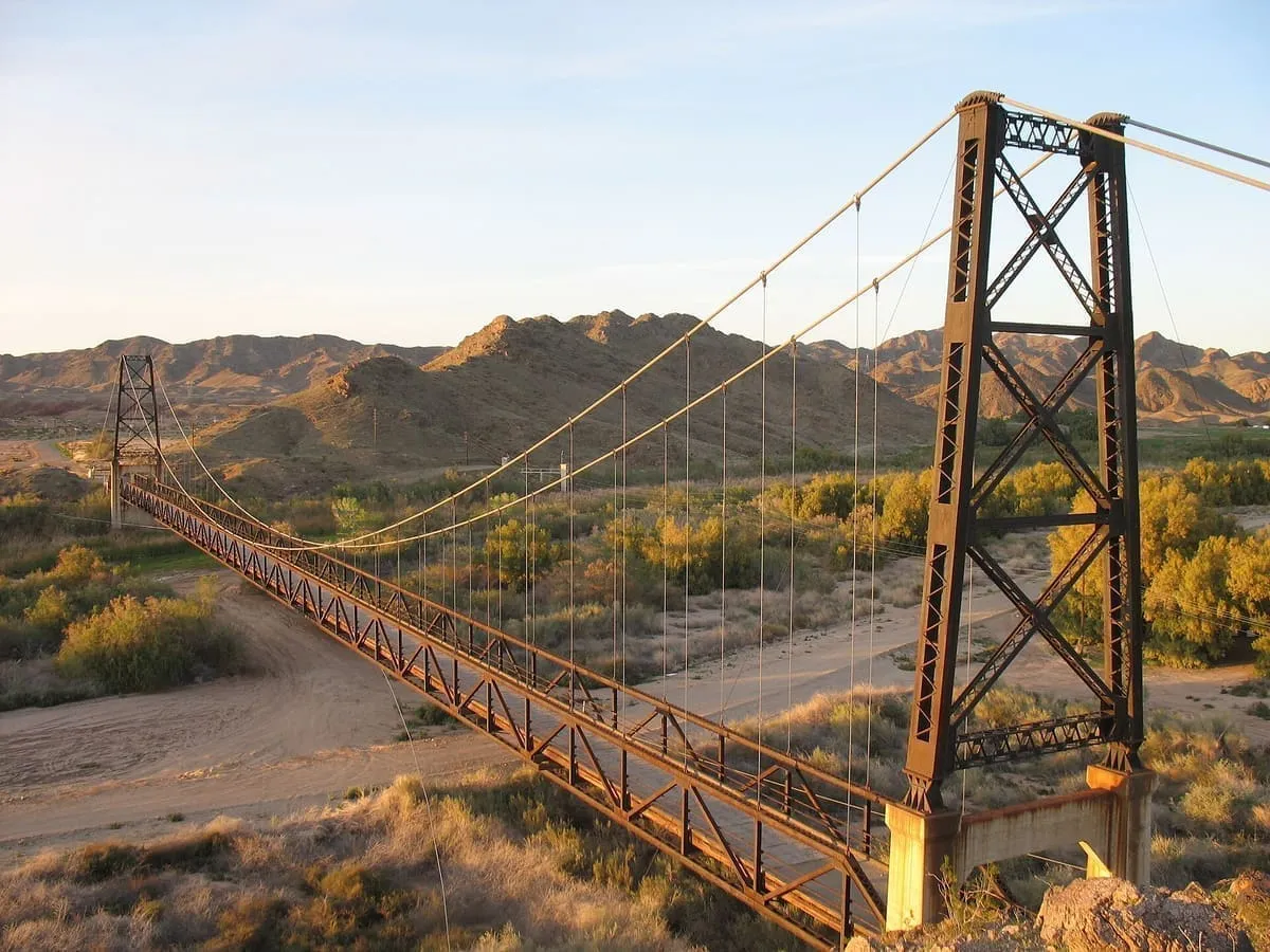
14 miles away
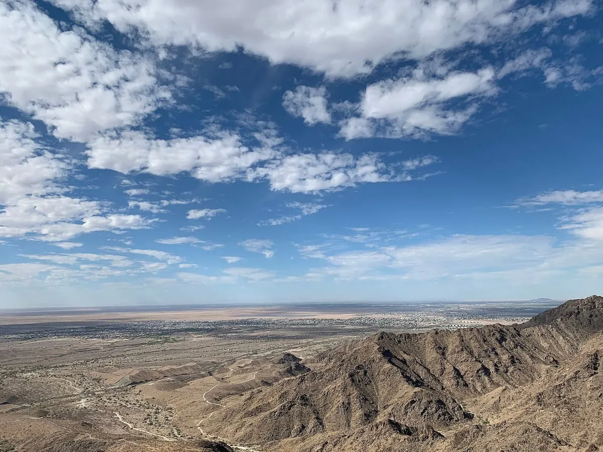
16 miles away

20 miles away
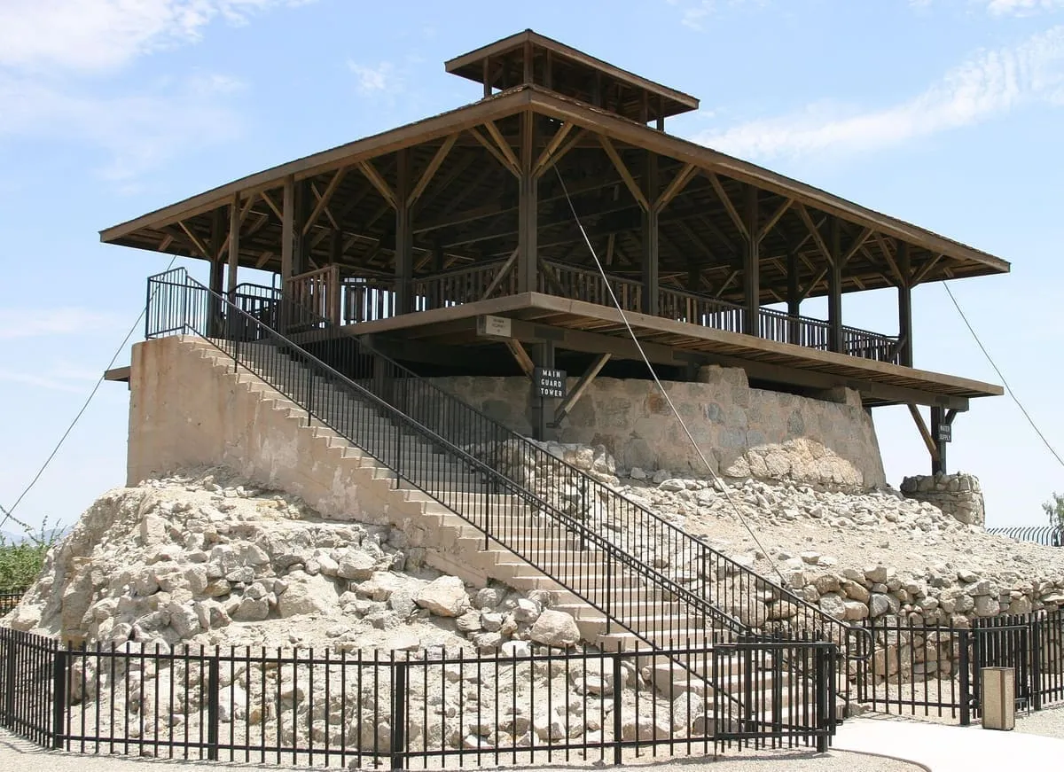
21 miles away
21 miles away